The bordermarkers of the Pyrenees : all my trips | |
| - 17 august
2001 - |
 |
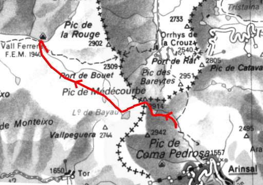 |
Trip-summary Part of a 8-days hike from l'Hospitalet-près-l'Andorre to Aulais-les-Bains, right through Andorra. In this way I linked two GR10-stopovers in a southern variant, enabling me to explore the tripoints of Andorra. On this day I crossed the Port the Medecourbe, trying to climb the Pic de Medecourbe, the western tripoint. I finished at Pla de Boet. Walking: 8½ hours. Ascending: ± 850 meters. Descending: ± 1000 meters. See also my special webpages The tripoints of Andorra |
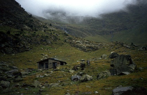 |
Refuge del Pla de l'Estany Here I slept. Looking ahead at a tough climb. And a bit nervous for the ascent of Pic de Medecourbe. |
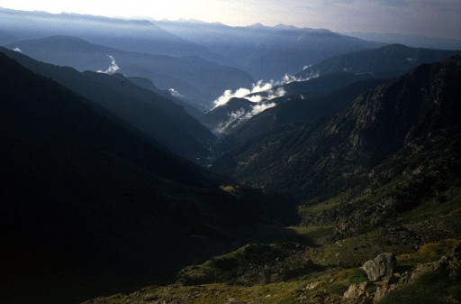 |
Arinsal somewhere down Looking back at the valley with Arinsal. After a day (yesterday) with pouring rain, the sun is back! |
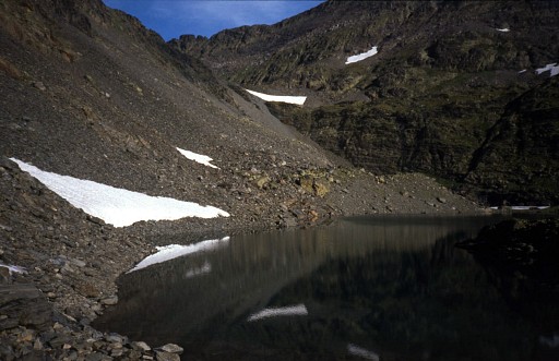 |
Els Estanys Foreats The last lake before the Port de Medecourbe. This pass is in the middle of the picture. |
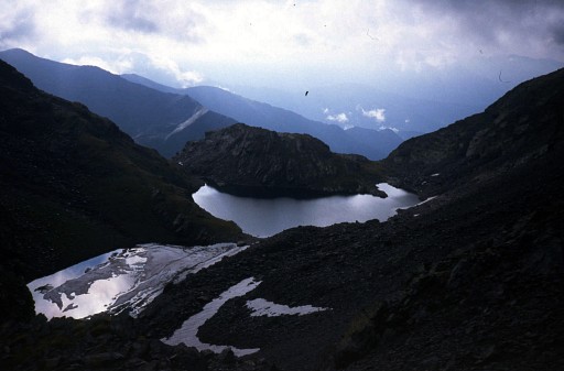 | Els Estanys Foreats Looking back - from the pass - at the lake. |
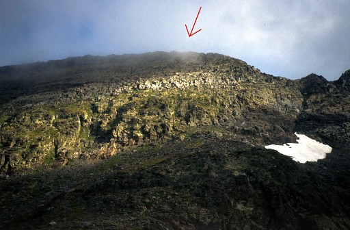 | Pic de Medecourbe And here we are at the pass itself, looking at the northern side of it. The Pic de Medecourbe is the highest point of this gently curved mountain ridge and is the western tripoint of Andorra. I tried to climb the ridge and even got to the ridge itself. But the ridge was so sharp that there seemed no way of walking on it eitherside to search for the "Borne" (marker) which shows on the map. And low clouds minimized visibility. So I gave up. However, I came back and succeeded on 20 july 2004 |
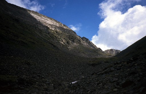 | Pic de Medecourbe I'm descending into Spain and look back at the pass and the mountain ridge with Pic de Medecourbe at the left side. |
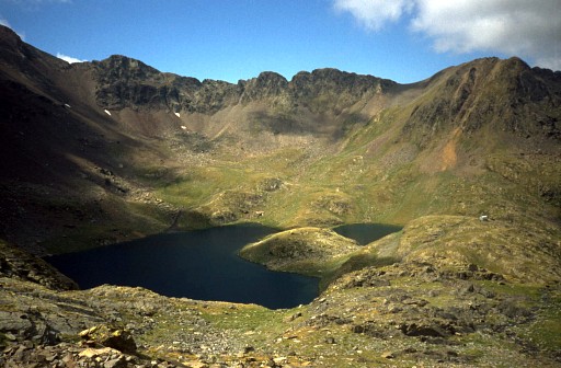 | Estany de Baiau Looking forward to this magnificient lake with the Refugi Joseph Maria Montfort on the right (tiny white spot). I remember that a helicopter landed near the Refugi. They were looking for a young woman which had disapeared on a solo-hike in these mountains. Was she ever found back? |
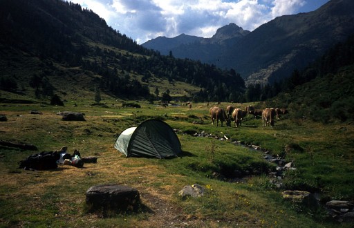 | Pla de Bouet A perfect camping spot, end of a long day. |
 previous
trip next
trip previous
trip next
trip 
| |
