The bordermarkers of the Pyrenees : all my trips  | |
| -
27 august
2006 - A cold night |
 |
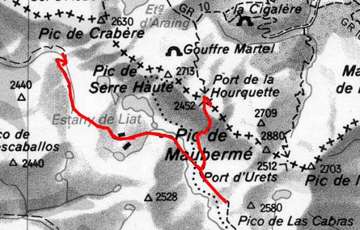 |
Trip-summary. Part of 7-days trip from Alós de Isil to Canejan, exploring the bordermarker-range bm422 - bm411. Day 5: from Pla de Tor to Port de la Hourquette (bm418 & 419) to Rio Torán - walking time: ± 7 h - cum. elevation gain : ± 1000m - cum. elevation loss : ± 1350 m - total elevation: ± 2350 m |
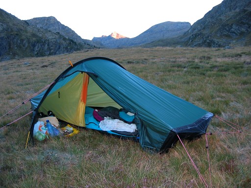 |
It's been a cold night with frost on my tent. |
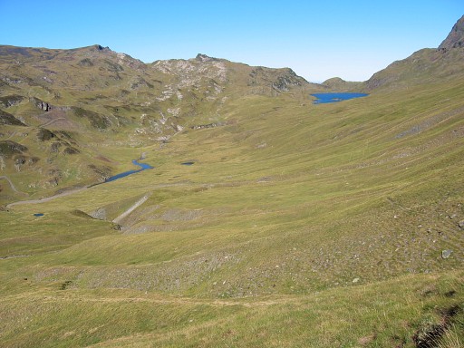 |
From Pla de Tor I climb along a well waymarked trail to Port de la Horqueta. This picture: while climbing, looking to the west to the lake of Estany de Liat. |
 |
At the pass, bm418 is well visible higher up at the northern side. |
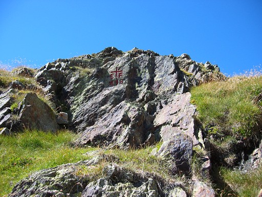 |
Bm418 |
 |
Bm418 Coordinates N42 48 24.4 E0 53 46.5 I meet a dutch HRP-walker and we lunch together. |
 |
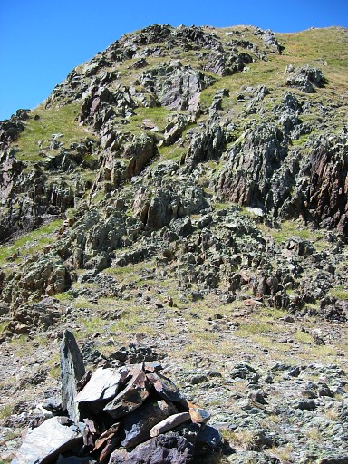
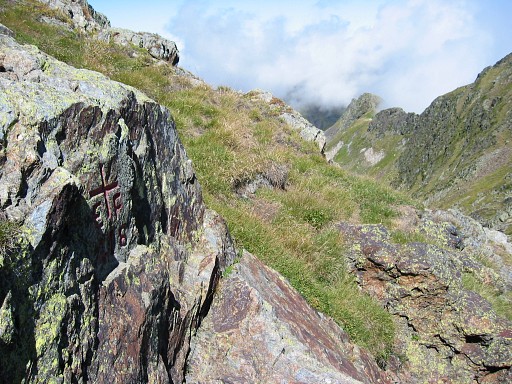
Bm419 is more difficult to find. First I search in vain at the rockridge and the next col to the east. But then I notice that the watershed is not to the east but to the SE. And then it's easy: on a rock with a cairn I find bm419 This picture: bm419 in front and looking NW to the Port de la Horqueta at the far end. |
 |
Bm419 Coordinates N42 48 21.3 E0 53 54.3 |
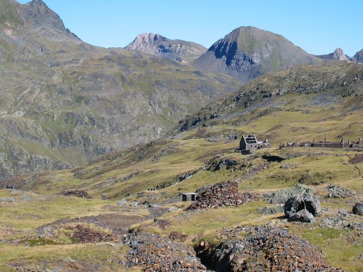 |
I descend back the to 'mining' road which I follow to the west, winding along ruined mining buildings |
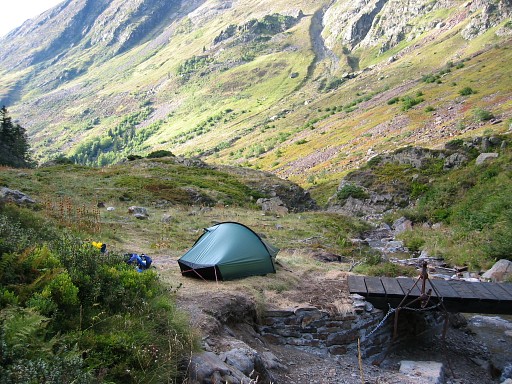 |
Close to Tuc de Guerri, I descend into a ravine to the N (steep descent of ± 700m) along a white/red waymarked trail. Down below, I pitch my tent where the path crosses a stream. |