The bordermarkers of the Pyrenees : all my trips  | |
| - 30 august
2006 - The bear could be close |
 |
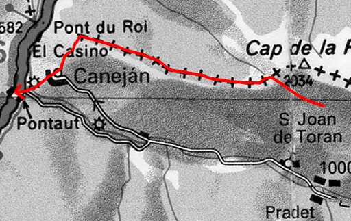 |
Trip-summary. Part of 7-days trip from Alós de Isil to Canejan, exploring the bordermarker-range bm422 - bm411. Day 7: from Cabane la Trauès over the borderridge from bm416 to bm410, then descending to Pontaut. - walking time: 5 ½ h - cum. elevation gain : ± 100 - cum. elevation loss : ± 1200 - total elevation: ± 1300 Weather: rainy & misty in the morning, later on sunny. |
 |
Saying goodbye to shepherd Roger and thanking him for his hospitality. Then past bm416 and |
 |
bm415 and walking further on the ridge and entering the forest. |
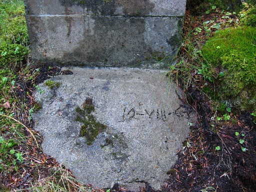 |
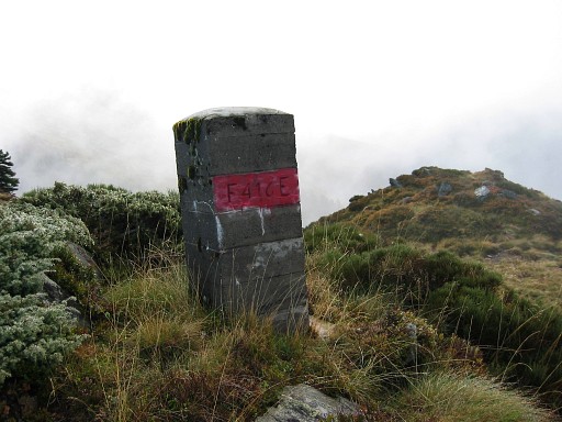
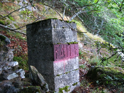
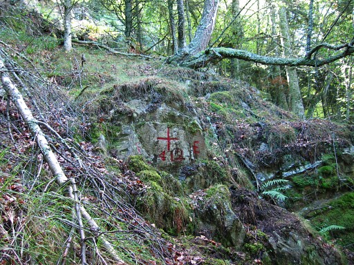
It's a beautiful, old and mysterious forest. It's here where the bear dwells, Roger told me. He advised me to make some noise while walking, making my presence audible so as not to surprise the bear. Bm414 - pillar and cross - are easy to find. It seems that the pillar is placed on 12 august 1967. |
 |
Bm414 |
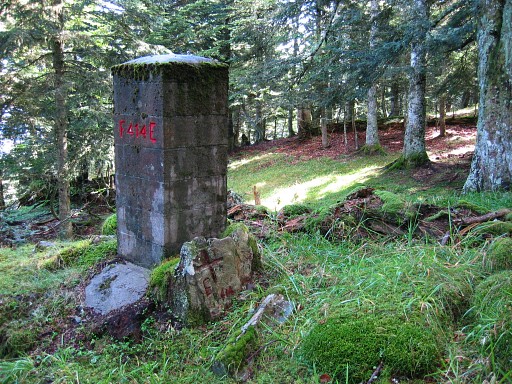 |
Bm414 Coordinates N42 50 38.8 E0 45 26.5 |
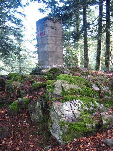 |
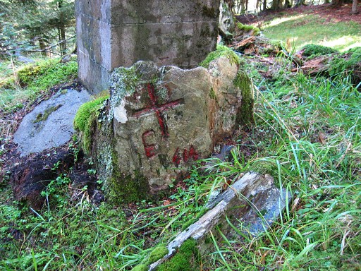
Bm415, pillar and cross, easy to find. Coordinates N42 50 40.3 E0 45 19.5 |
 |
Then I reach a precipice. When I walk back, I suddenly see bm411. Coordinates N42 50 49.5 E0 44 58.0 |
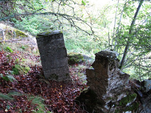 |
Standing in a sort of corner. I don't see a cross but there must have been one in former days. |
 |
Bm412 is 75 meters further on - so back uphill - according to the Procès-Verbal. That makes finding easy. In this case, there's no pilllar. |
 |
I
descend with difficulty SW through high fern, then to a barn. From the
barn along a path to Canejan. That path is called "Carr deth pople". |
 |
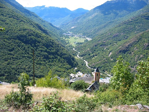
From Canejan descends a white/red waymarked trail to the hamlet of Pantaut. This picture: looking back uphill to Canejan and the borderridge. In the restaurant I wait for the bus to Vielha. |