|
The
bordermarkers of the Pyrenees : all my trips
|
|
| -
30 may
2009 - Tough grasshills  previous
trip next
trip previous
trip next
trip  |
 |
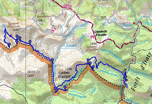 |
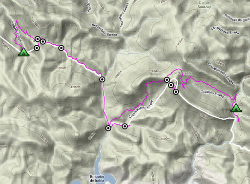
esfr-trip-track-20090530.kml (click to open in Google Earth or copy link to Google Maps; click right on this link to download gpx-version) Part of a 16-days trip, using day 1-10 to cover bm154 to 264 in the eastern Pyrenees and day 11-16 for bm416 to 365 near Bagnères-de-Luchon. Day 6: continuing on the borderline from bm218 to bm230. Weather: a splendid summer day |
 |
For explanation of
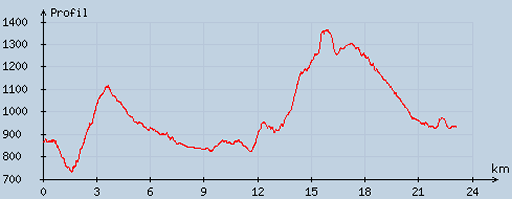
the gps-coordinates and other cartographic backgrounds: see my cartography page En route: 8.15-19.15, 11.01h, break 1¼h According to my watch: Up 1250m Down 1148m = 2398m in total. Hmax 1385m Lmin 743m |
 |
According
to visugpx - distance : 23.42 km - cum. elevation gain : 1095 m - cum. elevation loss : 1030 m - total elevation: 2125 - altitude maxi : 1367 m - altitude mini : 732 m - altitude average : 974 m |
 |
Start
at 8.15am. The shepherd told me about a shortcut to bm220: climb to
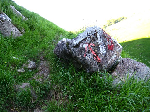
bm219 and along the ridge uphill, cross the fence and go to the left. But as a GRPdesBF-reconnaissance I walk back to the tarmac road and take after ±100m a trail (no waymarks) to the right which soon passes a stream. It descends to a grassy hillside where I loose the trail but find it back to the right downwards where it leads to small bridge. You can't miss that. After the bridge, keep following the trail until after a few hundred meters a branch bends sharp to the right and climbs uphill. That one is red/purple waymarked. |
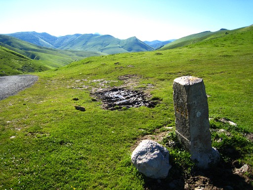 |
The path climbs to a pass. Neglect branches to the left, keep the ravine at your right hand. At the pass you'll find bm221 besides a tarmac road. |
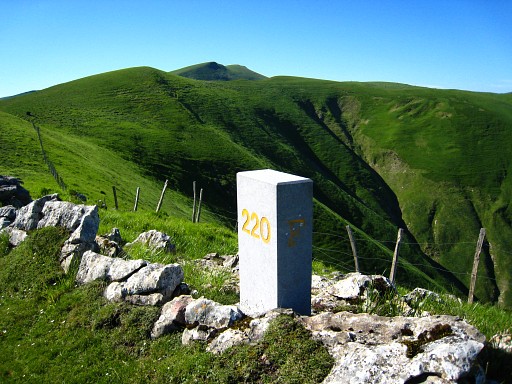 |
Then to the right climbing uphill, first along a dirtroad then on the grass to the ridge to Bm220: a cross and a new looking pillar. The cross is still in good condition, so why a pillar beneath it? |
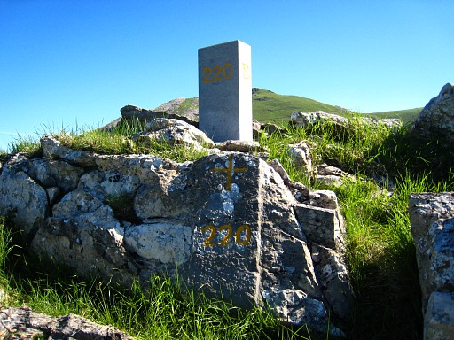 |
Bm220 |
|
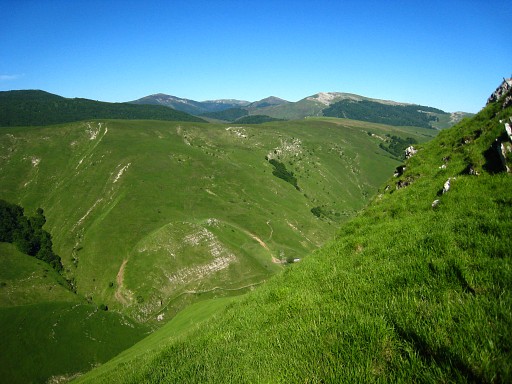
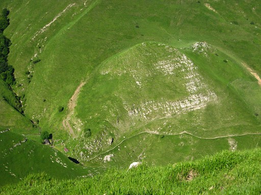
Looking SWW down from the ridge. Move the cursor over the picture to see the border |
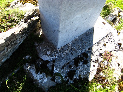 |
Bm220, we see the year 1990 carved in the concrete base. |
|
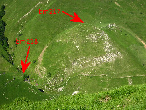
And again looking downwards. Move the cursor over the picture to see the bordermarkers |
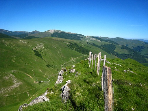 |
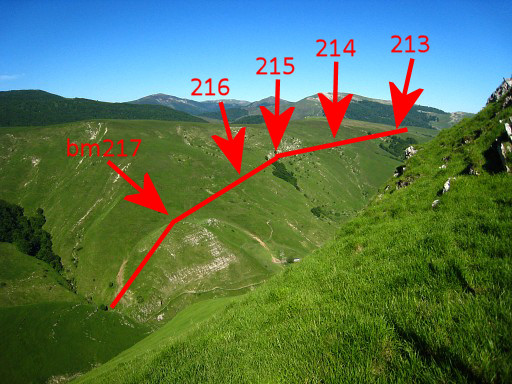
From the ridge looking in the direction of the borderline where I walked yesterday. |
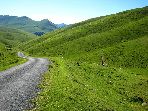 |
I return to the tarmac road and descend on it until I spot to the right of the road bm222. |
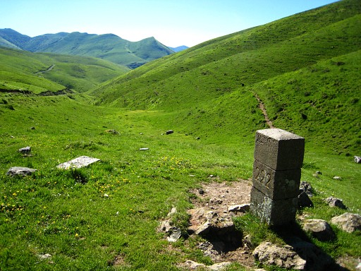 |
Bm222 |
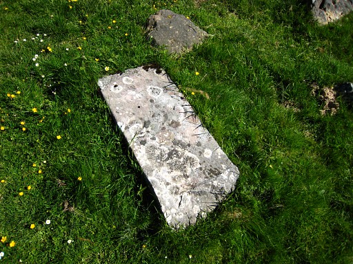 |
Besides it, an older bm222. |
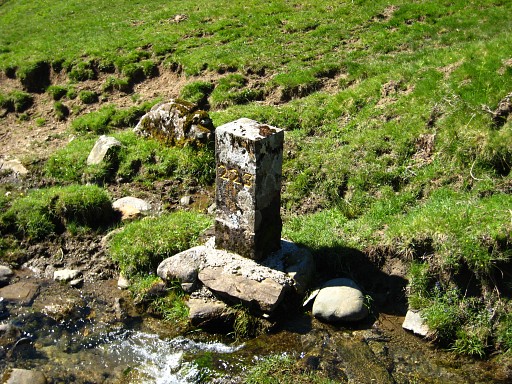 |
I descend further on the road and at a confluence of two streams, I find bm223. |
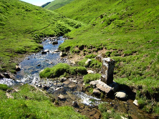 |
Bm223 |
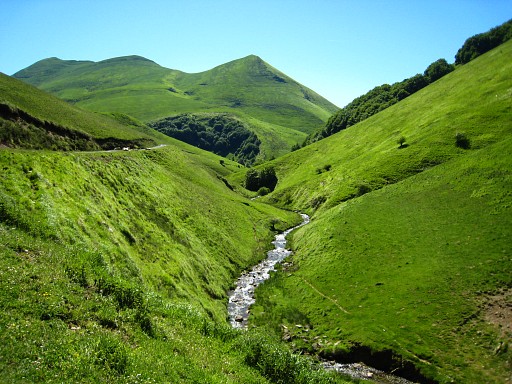 |
From
bm223, I follow the left bank of the stream until a cabane and continue
on a tarmac road. Alternatively, you could walk the right bank until
bm224 but in that case it gets steep in the end and you'll have to wade
through the river. Walking on the tarmac for a while gives the opportunity to enjoy the landscape, there's hardly any traffic. |
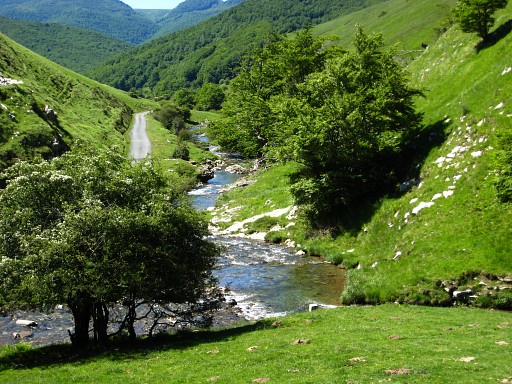 |
Bm224, also at a confluence. |
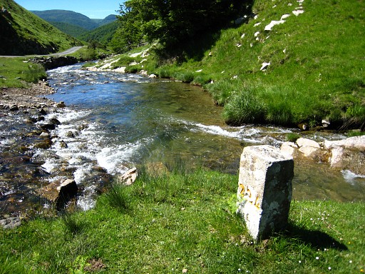 |
Bm224 |
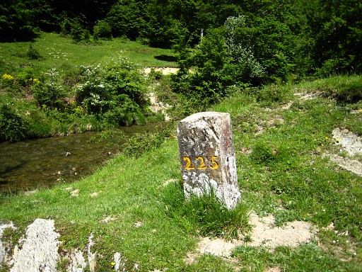 |
I continue on the tarmac road to the S along the river. The road becomes a dirtroad and arrives - again at a confluence - at bm225. |
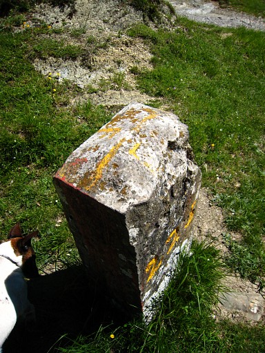 |
Bm225 |
 |
Then
wading through the river (easy) and a bit further to the left on a
forest road. That forest road climbs parallel to a stream (= the
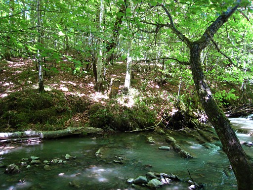
border) which down below to the left. Further on, I see how another stream descending from the north merges with the stream. That must be the spot of bm226. One could descend here steeply but I walk a bit further where I can cross the river and return on the other bank to the confluence. About 20m from the confluence on the other side, I find bm226 |
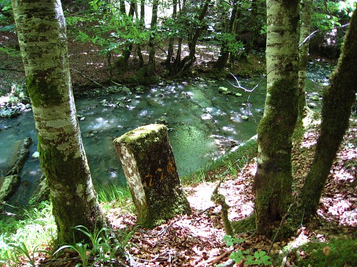 |
Bm226 Wading through the river is easy here. Now I climb steeply back to the forestroad and walk back to bm224. Then a lunchbreak nearby. |
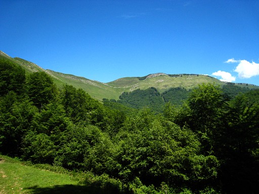 |
Second half. Close to bm225, I climb on a trail uphill, a trail that goes underneath a fence, fades away, goes along fences and merges with a forest-road. The forest-road descends while winding through the forest. Later on it climbs again, I neglect a branch to the right, but the road remains in the forest. The open hillside is visible through the trees to the left. Now I know I'm wrong, I should have reached a road which passes the cabanes d'Egurguy and becomes (according to the map) a trail leading to bm227. |
|
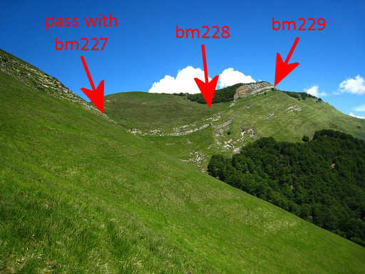
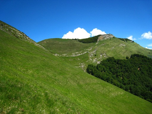
So I climb out of the forest and see the Col Curutche (bm227) far away in the distance. It's a long and tough climb on the grassy hillside to the Col. I only see cattle tracks, no distinct path. This picture: I'm getting closer to the Col. Move the cursor over the picture to see the bordermarkers |
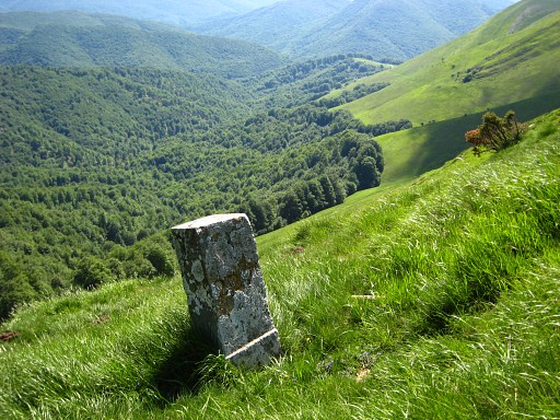 |
Finally I reach bm227 which is located about 100m downhill from Col Curutche. So - concerning the GRPdesBF between bm225 and 227 - there are 2 options: 1. along the road past the Cabanes d'Egurguy and then on a trail or cattle tracks in the direction of bm227 (roughly halfway between ridge and forest) 2. from bm224 following the HRP or GR12 to bm227 and making a variant from my route today along bm225 and bm226 and option 1. |
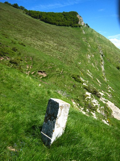 |
Bm227 From here the borderline goes straight to the rockridge visible on this picture. |
|
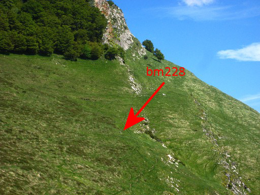
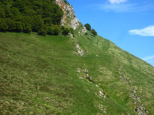
Bm228 comes in sight when I get closer to the ridge. Move the cursor over the picture to see where bm228 is. |
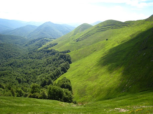 |
A view back on the valley and the grassy hillside where I came from. |
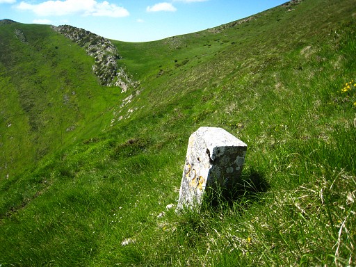 |
Bm228 |
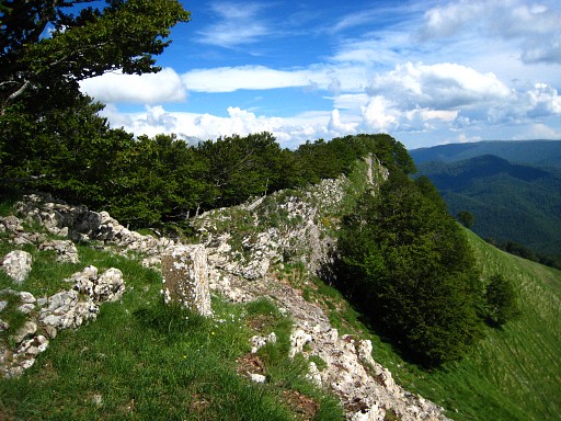 |
I leave my backpack at the foot of the rockridge and climb from the left the ridge. But I can't find a bm on its heighest point. Bm229 stands further on where the ridge lowers for a short while, a sort of pass you might say. Bm229 can be more easily reached by walking underneath the ridge. |
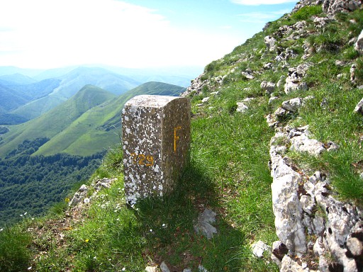 |
Bm229 I return to Col Curutche, there I see red-white (GR12?) waymarks which I follow to the NE and which bring me to a tarmac road. I descend on the tarmac road to the D18. |
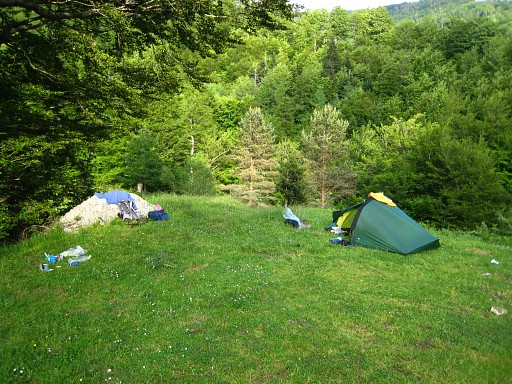 |
At the D18 descending to the border and trying to find bm230 via a branch over the river. But in vain, for this moment. I collect water and pitch my tent on this nice spot, close to where that branch starts. |
 previous
trip next
trip previous
trip next
trip  |
|

