|
The
bordermarkers of the Pyrenees : all my trips
 |
|
| -
30 august
2010 - Bm322: picture of a picture |
 |
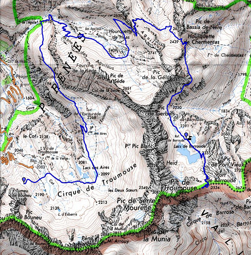 |
esfr-trip-track-20100830.kml (click to open in Google Earth or copy link to Google Maps; click right on this link to download gpx-version) Summary: part of a 11-days backpacking trip from Cauterets to Loudenvielle ‘doing” bm315 to bm330. Day 6: in a half circle to Port Barroude, allmost finding bm322. Weather: sunny and warm |
 |
For explanation of
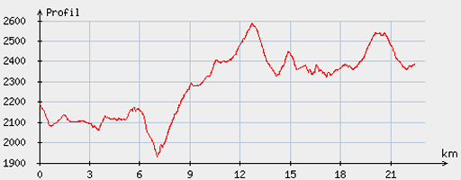
the gps-coordinates and other cartographic backgrounds: see my cartography page Start: 8.30, break: 13.30- 14.15, finish: 18.30, net walking time: 8.45 According to the gp-tripteller: Distance: 24,1 km Time moved: 7.22h Time standing still:2.40h In total: 10.02h Total ascent: 1349 Maximum height: 2602 |
 |
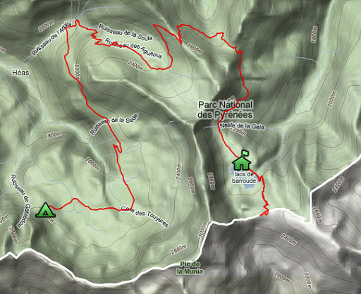
According
to visugpx - distance : 22.71 km - cum. elevation gain : 1243 m - cum. elevation loss : 1060 m - total elevation: 2303 - altitude maxi : 2586 m - altitude mini : 1931 m - altitude average : 2282 m |
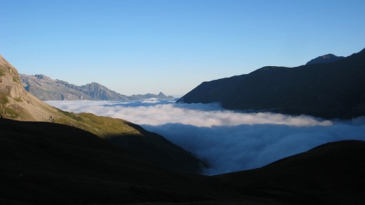 |
Mist over the Vallée
de Troumouse when I wake up. From my camping spot, I walk down to a country road cq broad track and follow it untill a sign points to the cabane les Aires a bit higher. In the beginning it's even flat walking, a delight after all that elevation in the previous days. |
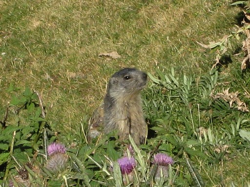 |
From the
cabane, there’s a distinct trail leading under the
huge rocks, descending and finally bending to the right and
climbing up the valley. A curious marmotte watching me. |
|
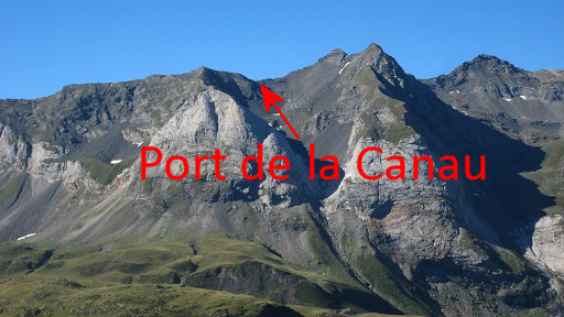
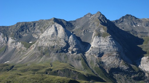
Looking back
meanwhile at the borderridge of yesterday with the Port de la Canau
well visible. Move the mouse over the picture to see where the port is. |
 |
Same ridge but
further away |
 |
Looking back to the
west, the Vignemale still visible. |
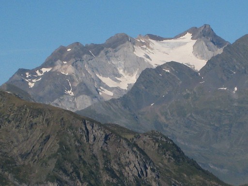 |
Zoom-in
of the Vignemale |
|
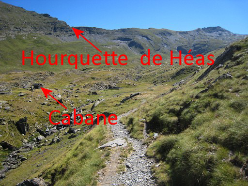
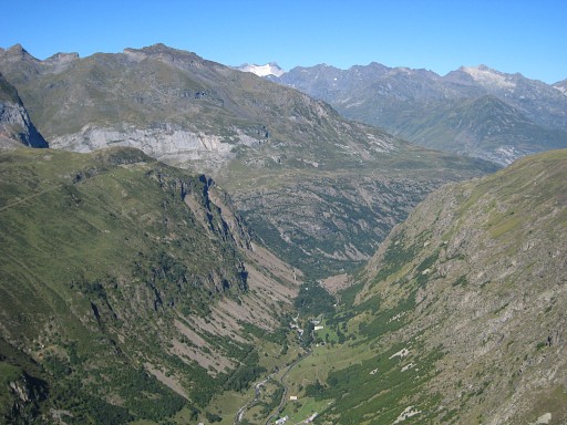
If you get close to
Cabane de Aguilous, the upper valley unfolds itself. On this picture the cabane is visible, also the Hourquette de Héas. I keep following the trail and that makes an unnecessary bend to the start of the final climb. The maps show a more direct trail from the cabane. Move the mouse over the picture to see cabin and Hourquette. |
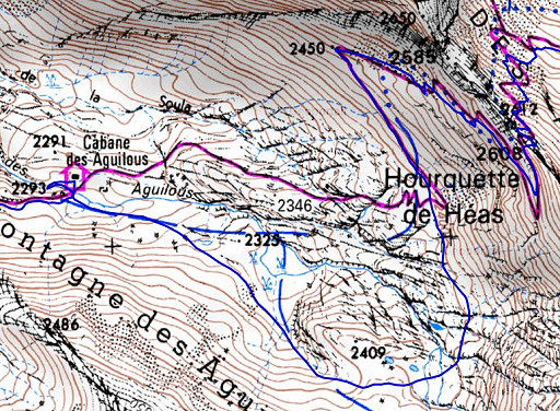 |
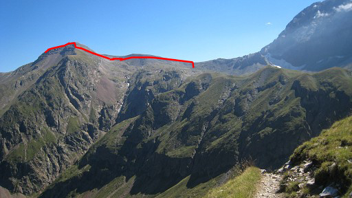
Compare the purple (direct) route from cabin to the Hourquette with the blue one I did. |
 |
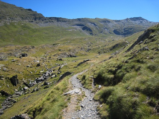
It’s gentle climbing (with remarkable long zigzags) to the Hourquette de Héas. |
 |
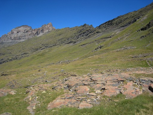
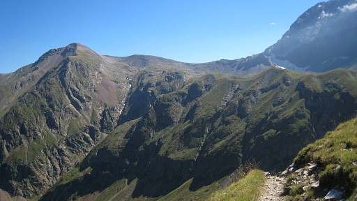
It took me 5 hours
to get to
the Hourquette. A last view of the Vignemale in the background |
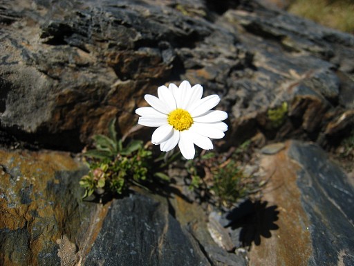 |
I was struck by the
encounter with this simple but yet so beautiful flower. |
 |
Then after some
descending, continuing to the next pass
(Hourquette de Chermentas). After some descending the main trail leads directly southward to the refuge Barroude underneath the mountain ridge at your right. |
|
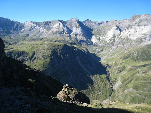
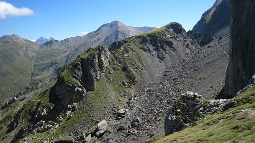
Getting closer to
the refuge, the broad, saddle-like Port de Barroude comes more in sight. Tomorrow I will learn that there is a direct route from the pass over the borderridge to the east (= left on this picture) Move the mouse over the picture to see where that trail is. |
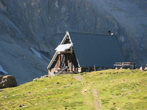 |
A coffee-stop at the refuge where the warden tells that this very morning he took pictures of bm322. I decide to stay overnight in the refuge with all the luxuries of a cold shower, cold beer and warm meals. I leave my backpack behind |
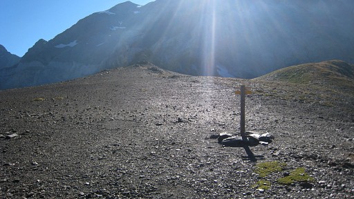 |
and lightheartedly
climb to Port de Barroude (the middle of a broad brown ridge). But I
can’t find bm322 despite the directions of the warden. This picture: taken from the middle of the pass. The bm should be on that rocky outcrop at the end of the pass. |
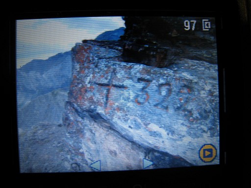 |
Back at the refuge the warden shows his picture of the bm on his camera. He tells me that it is on the larger rock, about 200 meters west from the pass itself. I looked there for the familiair rectangular shape but the warden’s picture shows an atypical bm. Tomorrow a new chance. |