|
The
bordermarkers of the Pyrenees : all my trips
 |
|
| -
31 august
2010 - Old men know the short-cuts |
 |
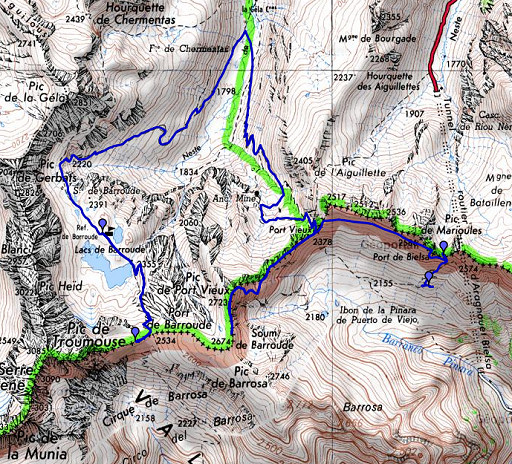 |
esfr-trip-track-20100831.kml (click to open in Google Earth or copy link to Google Maps; click right on this link to download gpx-version) Summary: part of a 11-days backpacking trip from Cauterets to Loudenvielle ‘doing” bm315 to bm330. Day 7: from Port de Barroude to Port de Bielsa, discovering a short-cut along the borderridge Weather: all day splendid weather. |
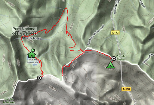 |
For explanation of
the gps-coordinates and other cartographic backgrounds: see my cartography page Start: 8.30, break: 13-13.45, finish: 18.30, net walking time: 9.15 According to the gp-tripteller: distance: 21,0 km Time moved: 6.59h Time standing still: 3.15h In total: 10.14h Total ascent: 1422m Maximum height: 2714m |
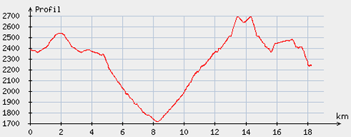 |
According
to visugpx - distance : 18.69 km - cum. elevation gain : 1335 m - cum. elevation loss : 1482 m - total elevation: 2817 - altitude maxi : 2691 m - altitude mini : 1718 m - altitude average : 2298 m |
 |
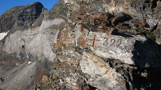
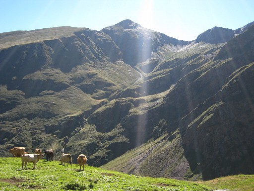
First
thing in the morning: back again to Port de Barroude and now I find
bm322 easily. |
 |
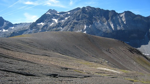
That larger rocky
outcrop with a metal pole sticking out, ± 200
meter to the west of the Port itself, consists of two little pics, the
bm situated just underneath the top of the second. |
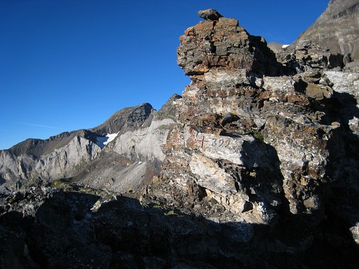 |
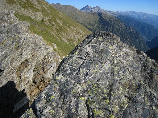
Bm322 I’m content, in the morning sun the pictures are much better then they would have been yesterdag. |
 |
Bm322 |
 |
Bm322 |
 |
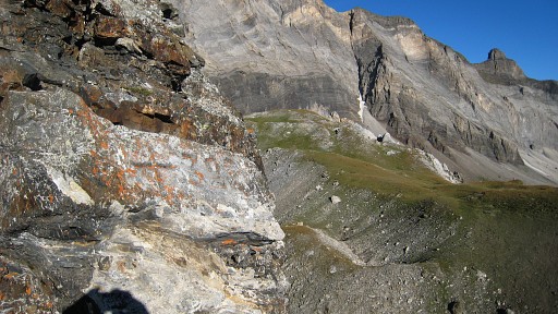
Back to the refuge (visible as a white spot beyond the lake), getting my backpack - thanks to the warden - and going down. |
 |
Going down , looking back |
 |
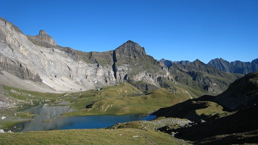
The whitish
mountain wall behind the refuge. |
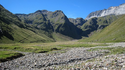 |
Descending untill the bottom of the valley and at the same level as the start of the trail up to ‘Le Vieux Port’ (the old pass), just on the other side and across the (now dry) stream. |
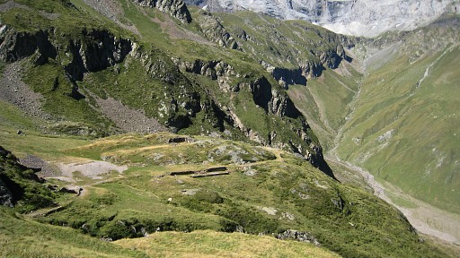 |
On my way up, I
notice the abandoned site of a farm or something else. Could be a nice
camping spot. |
 |
This is apparently
an european union funded trail. After a break higher up, I meet two older men who - to my astonishment - followed the borderridge between Port de Barroude and Port Vieux on a well path. That path is not on the maps and no one told me. |
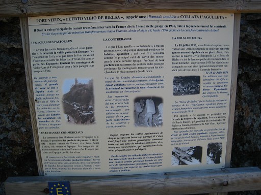 |
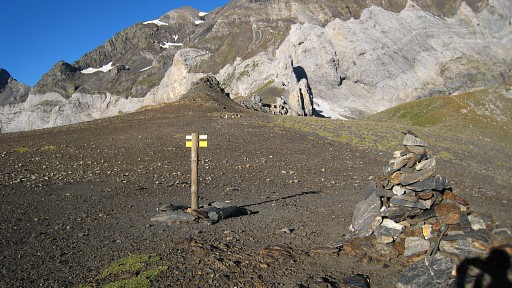
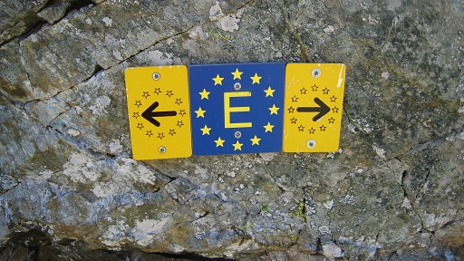
An interesting
information panel at the pass. Click here to see an enlarged version. It tell's us that this Pass ("the old pass of Bielsa") was the main route into Spain from the 18th century until the opening of the Bielsa Tunnel in 1976. In 1938 about 5000 spanish refugees used this pass to flee into France. |
|
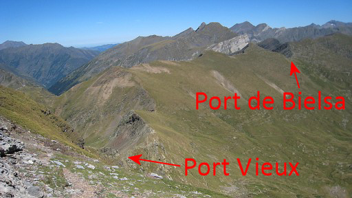
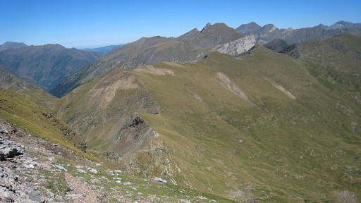
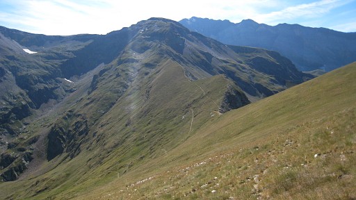
So from the Port
Vieux, I
walk along the borderridge back to allmost Port de Barroude. I want to gps-track it and to see of there are no dangerous parts or so. On this picture: I've climbed a bit and look back. Move the mouse over the picture to see where the Port Vieux and Port de Bielsa are. |
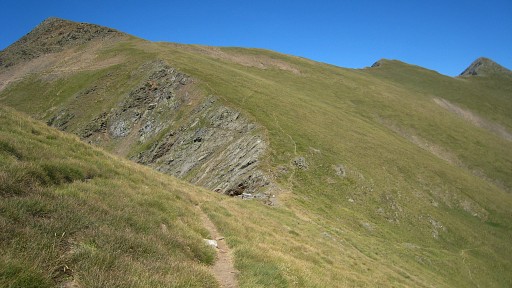
|
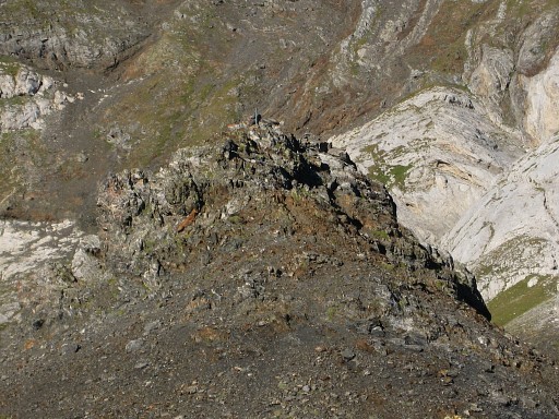
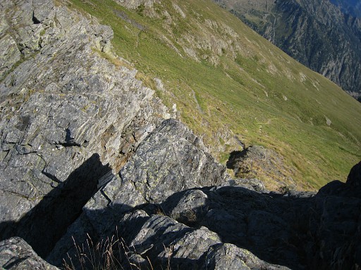
There's a clear
trail climbing to Pic de Port Vieux and descending to Port de Barroude.
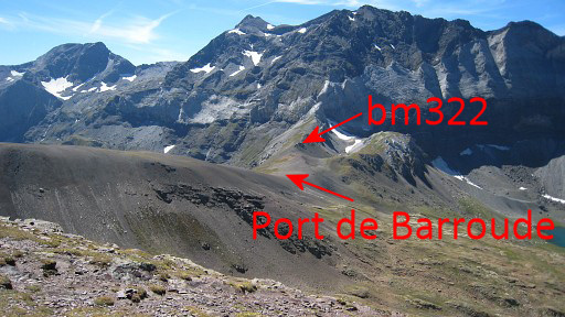
On this picture, taken probably from the Pic de Port Vieux and looking to the Port de Barroude in the distance. Move the mouse over the picture to see where the Port Barroude is and the rock with bm322. |
 |
Closer to the Port
de Barroude, you can see the trail going underneath the bend of the
ridge. The route from Port de Barroude to the Vieux Port takes about 1 ¼ hour, my trip via the valley ± 4 ½ hours! The “ridge-route” passes the summit of Pic de Port Vieux (2723m). |
 |
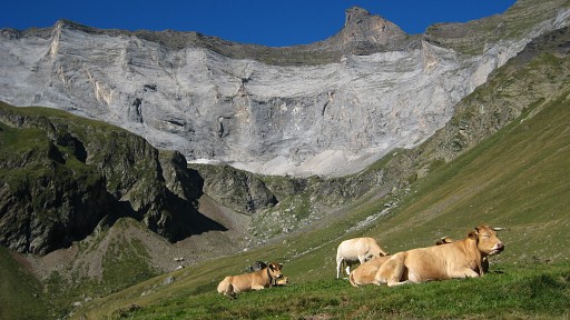
Back to the Port Vieux and then I simply cross the grassy slope in the direction of Port de Bielsa. |
 |
An
old customs office cabin (I suppose) close to the Port. In the distance: the Pic de Port Vieux. |
 |
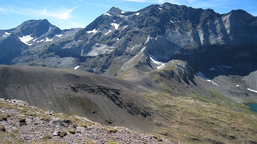
I
gradually climb along the grassy slope. This picture: looking back at
Port Vieux and the Pic de Port Vieux. Close to the Port de
Bielsa I need to descend to pass
underneath a rocky ridge. There’s no trail and all together it’s easier - I think - to take the trail from the Port Vieux downwards and the branch going up to Port de Bielsa. |
 |
By the way, I think
the whole trail
from the Port Vieux to Port de Bielsa is green/white waymarked. At Port de Bielsa, I need the Procès-Verbal to find, |
 |
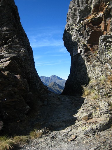
bm323, it’s on top
of
the western side of the corridor. It requires a little climbing from the French side. |
 |
Bm323 |
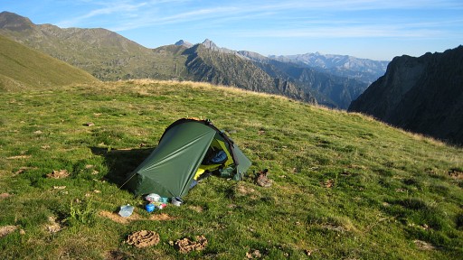 |
I descend on the
Spanish side untill I find water and a flat spot for my tent. Camp N42 43 44.5 E000 11 24.2 |