|
The
bordermarkers of the Pyrenees : all my trips
 |
|
| -
8 september
2010 - Into the karst-crevasses |
 |
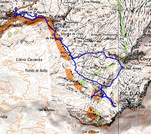 |
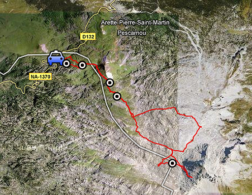
esfr-trip-track-20100908.kml (click to open in Google Earth or copy link to Google Maps; click right on this link to download gpx-version) Summary: part of a 3-days exploring trip around Arette La Pierre St-Martin.Third day: from bm262 to bm270 and a bit further, difficult terrain. Weather: overall cloudy and fresh, in the afternoon the clouds blown away, giving more overview |
 |
For explanation of
the gps-coordinates and other cartographic backgrounds: see my cartography page Start: 9.15, break: no, finish: 17.30, net walking time: 8.15 According to the gp-tripteller: Distance: 17,1 km Time moved: 5.57h Time standing still: 2.35h In total: 8.32h Total ascent: 989m Maximum height: 2145m |
 |
According
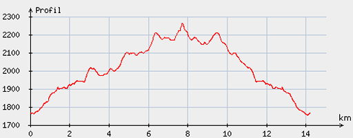
to visugpx - distance : 14.4 km - cum. elevation gain : 640 m - cum. elevation loss : 645 m - total elevation: 1285 m - altitude maxi : 2264 m - altitude mini : 1753 m - altitude average : 1972 m |
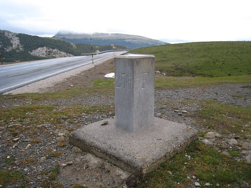 |
Another
daytrip from Arette La Pierre St. Martin. Target: bm270 and further. I
start near bm262. But first I drive to bm256, I had the impression that it had been changed since last year when I passed it on the day before yesterday. |
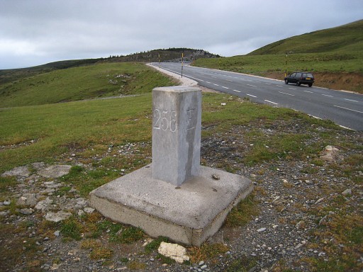 |
But on second sight
I believe it
hasn’t. |
 |
Parking my car
near bm262 en heading up the hill. This is a bordermarker in his own right. |
 |
Via bm263 |
 |
and bm264, both easily found with my gps, |
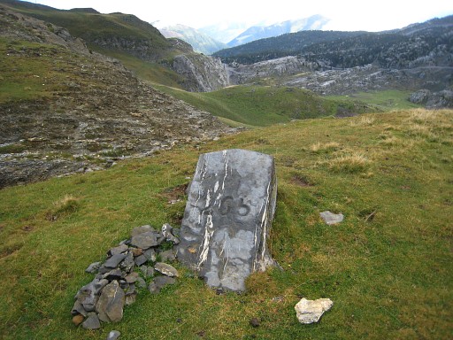 |
I walk to Col d’Arlas, pick up the yellow trail and continue to Col de Pescamou with bm265 |
 |
and further to Col
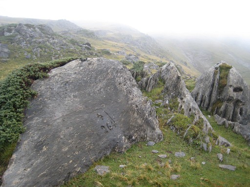
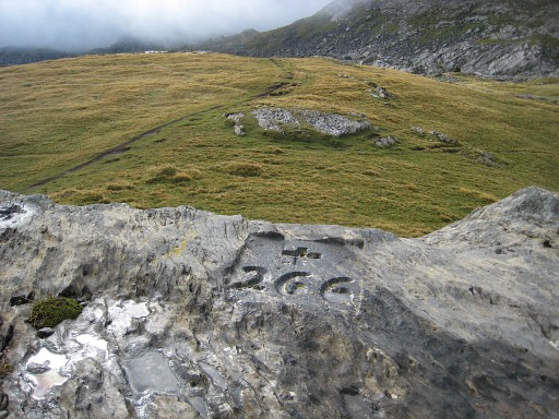
de Boticotch with bm266. |
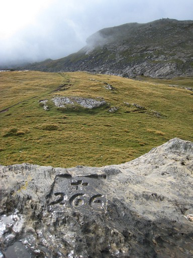 |
Bm266 |
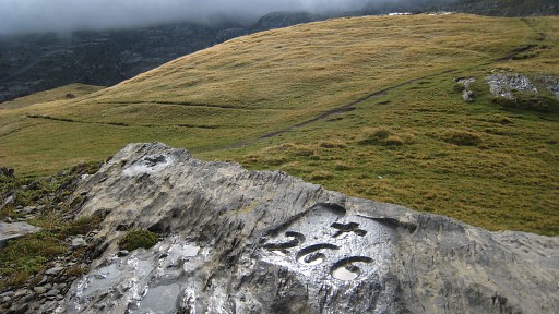 |
Bm266 |
 |
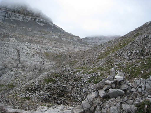
The yellow trail descends into the karst-crevasses and is - so I will learn later - a more eastern approach to Pic d’Anie. |
 |
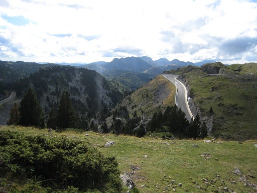
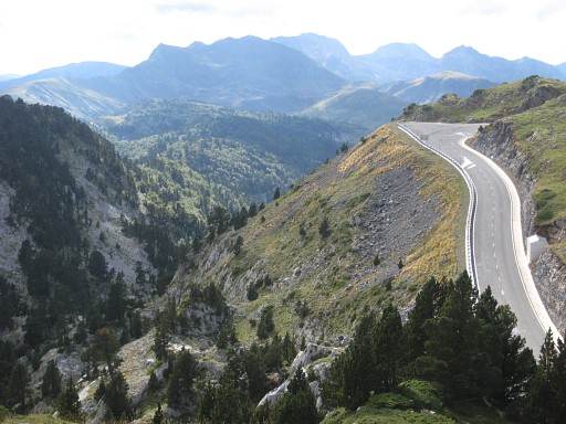
Heading to Pic du
Soum Couy |
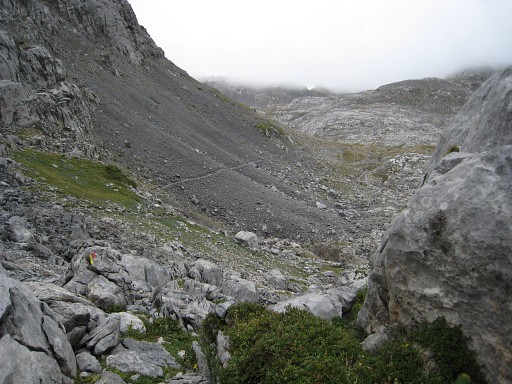 |
Looking ahead
to the trail at the slope of Pic du Soum Couy I keep following that trail untill approximately the ridge of the hill which is approximately the Col des Anies. |
 |
But at that point,
I'm getting too far away from the bm270-waypoint. I try a trail (only cairns-waymarked) in the direction of bm270 |
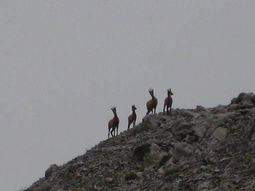 |
- while chamois
watch me - |
 |
that turns out to be a shortcut to a more western ‘red’ trail. |
 |
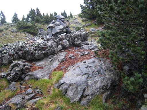
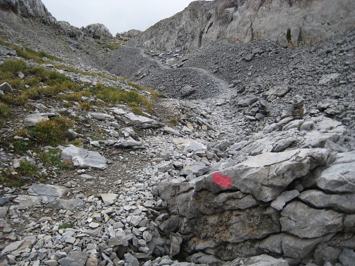
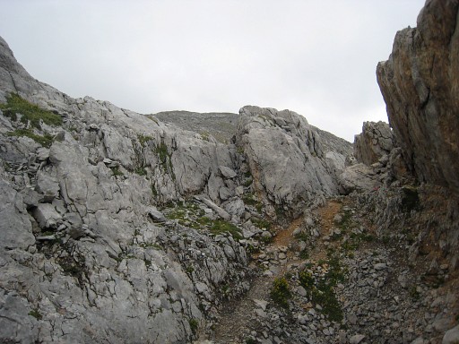
I follow that one
to the
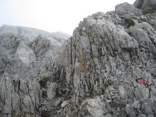
south. It descends into the karst-crevasses but leave it when bm270
gets further away on my gps. I climb through and over the crevasses in the direction of the waypoint. On a sort of plateau of tilted rock-layers, I then notice a cairn. It seems to be the highest point. |
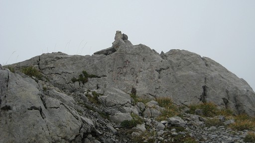 |
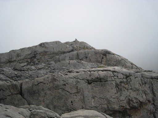
And it is bm270 ! |
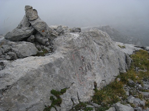 |
Bm270 |
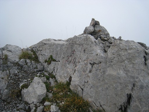 |
Bm270 |
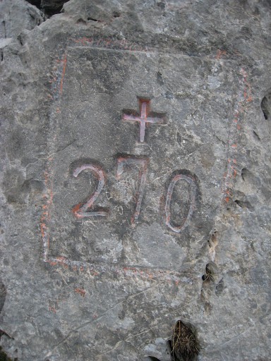 |
Bm270 |
 |
Meanwhile, the
clouds are blown away, giving more overview and a better orientation. I return to the red trail and continue that but it seems another trail to Pic d’Anie. |
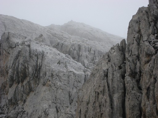 |
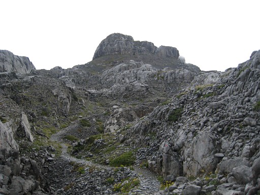
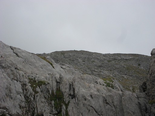
Back down the
trail and then trying to get to bm271. I
pass close to bm270 (highest point on this picture) but traversing the
crevassed plateau takes
far too long. I decide to stop and return. In 2013 Jaques Koleck wrote me how he in 2009 went straight - from bm270 - south in the direction of bm271bis: "it wasn't allways easy but it was amusing". |
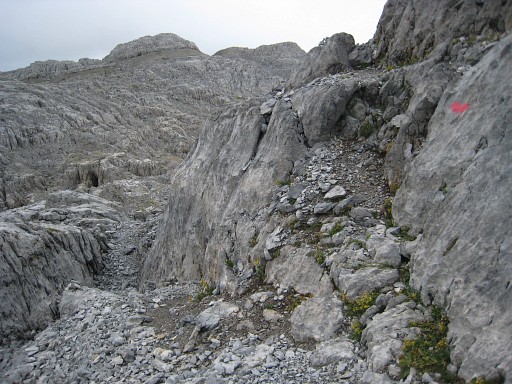 |
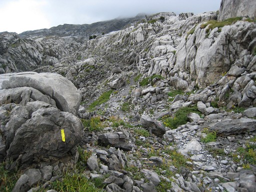
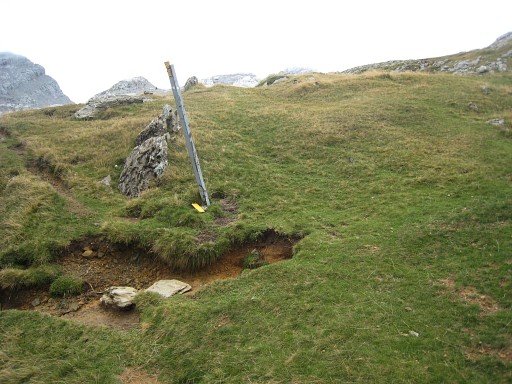
On my way back, I stumble upon a
cairns-waymarked trail that joins later the red trail, approximately
at this point. I believe you're looking in SW-direction on this picture. |
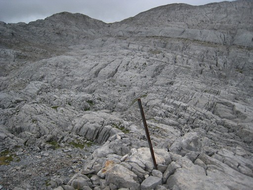 |
So: at entering that crevassed plateau from the north, there’s a
bifurcation: the red
trail bends to the left and descends into the crevasses, the
cairns-trail goes to the south-west. No idea where it leads to but it’s more or less in the direction of bm271. I'm not sure but I believe that this metal pole is at the bifurcation. |
 |
I return on the red
trail and see on the hillridge in the distance |
 |
a bordermarker, it
must be bm269 |
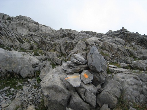 |
Further back on the red trail, red changes in fluorescent orange untill
the point where the yellow and red/orange trail parted earlier. |
 |
And that's here. There’s a metal pole with broken-off signs. So: the yellow trail bends at this point to the left and descends in the crevasses while the orange/red trail goes straight on. The latter is the better one (coming from Col de Pescamou) because it stays close to the bordermarkers. |
 |
Further on, looking
back in southern direction to that hill-ridge with bm267 |
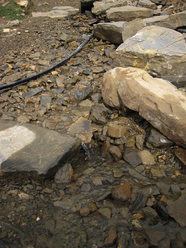 |
Walking back on the orange or sometimes violet trail, I pass once again
Col d'Arlas. There it strikes me that there's a source, the only one I've seen so far in this area. Water is scarce here, disappearing easily in the karst bottom. |
 |
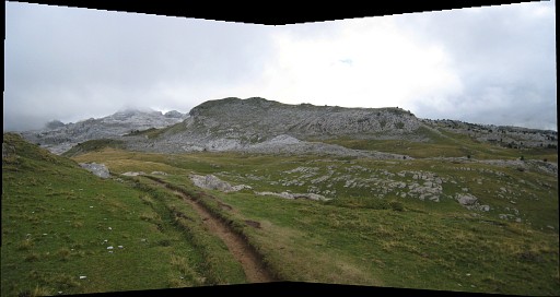
Continuing
the trail - now with yellow waymarks, if I remember
well - it
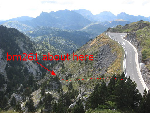
brings me to near bm262, along that empty house or cabin. This view is interesting. |
|
for it gives a
sort of bird's eye view of where bm261 is and how to approach it, as I found out yesterday. Move the mouse over the picture to see where. For a third night, I sleep in Refuge Jeandell. Every night they cook spaghetti. Pouring rain at night and the next morning. Too worse to continue in this area. So I return to Lourdes the next morning. |