|
The
bordermarkers of the Pyrenees : all my trips
 |
|
| -
18 august
2011 - Easy day |
 |
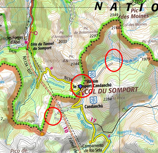 |
esfr-trip-track-20110818.kml (click to open this trip in Google Earth or copy link to Google Maps; click right on this link to download gpx-version) Summary: part of a 3-weeks trip to the Pyrénées to 'do' the ± 60 remaining bordermarkers. All done as daytrips from campings. Day 4: on a rainy transit-day from St-Etienne-de-Baigorry to Urdos, I visit Col de Somport. Weather: rainy |
 |
For
explanation of
the gps-coordinates and other cartographic backgrounds: see my cartography page |
 |
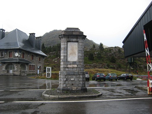
It rains to hard to do some ‘new’ bordermarkers.
But bm305 and bm305bis are on the very Col itself and that’s an easy
remake. |
 |
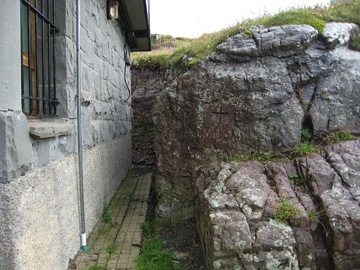
Bm305 |
 |
Bm305 |
 |
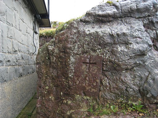
Bm305bis |
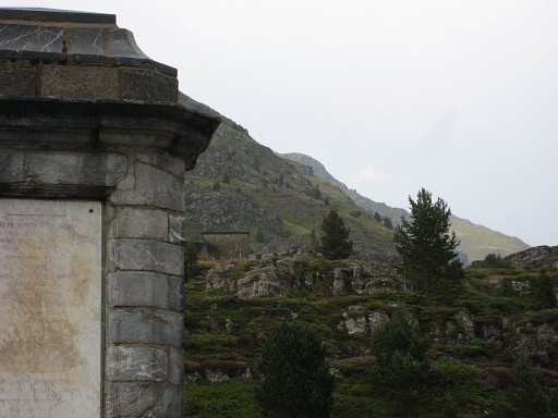 |
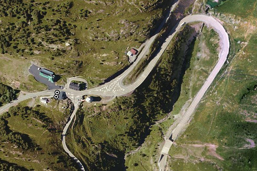
Bm305bis, zooming in to bm306 with that building nearby. |
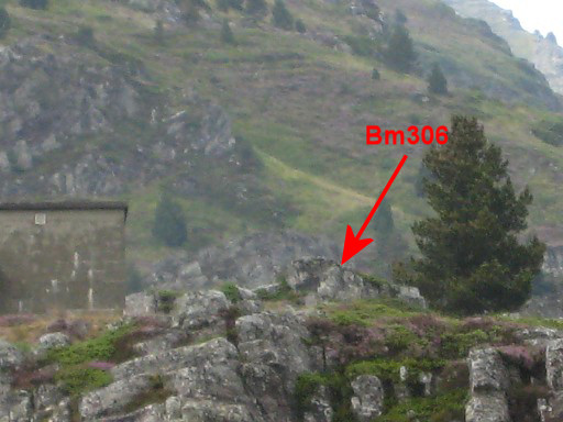 |
The building is useful in locating bm306. Then - also easy - a short drive to the Candanchu ski-station to see what business is still open and to spot any GR11-way-marks (in vain). |
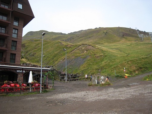 |
And then finishing with a bumpy drive to the other side: the Astun ski resort to see if
there’s any indication where the trail starts to Col des moines.
There’s none. I spot however the likely beginning (behind the last building on the upper row of buildings, at the east-side of a stream). That is confirmed by Ton Joosten in his HRP-guide. |
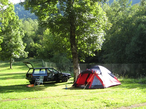 |
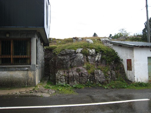
The camping in Urdos, my basecamp for the next 9 days. |