|
The
bordermarkers of the Pyrenees : all my trips
 |
|
| -
19 august
2011 - Chaotic terrain |
 |
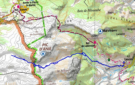 |
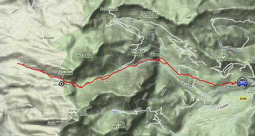
esfr-trip-track-20110819.kml (click to open this trip in Google Earth or copy link to Google Maps; click right on this link to download gpx-version) Summary: part of a 3-weeks trip to the Pyrénées to 'do' the ± 60 remaining bordermarkers. All done as daytrips from campings. Day 5: A trip to bm272 from Lescun, subtarget: finding a route from bm272 to bm271. Weather: splendid; blazing sun |
 |
For
explanation of
the gps-coordinates and other cartographic backgrounds: see my cartography page En route (±): 8.15-18.00 (9.45h) According to the gps-tripteller: Distance: 27,3 km Cum. elevation gain : 1525m Total elevation: 3050 m Maximum height: 2045m Time: 9.44h |
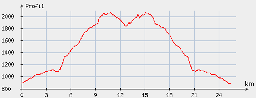 |
According
to visugpx - distance : 25,9km - cum. elevation gain : 1492m - cum. elevation loss : 1489m - total elevation: 2981m - altitude maxi : 2066m - altitude mini : 890m - altitude average : 1589m |
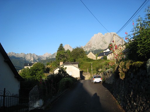 |
From my basecamp in Urdos, I drive to Lescun and hike |
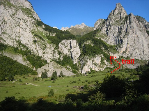 |
to Sanchése, a wide grassy area at
the foot of a waterfall. Perfect for a bivouac although camping is
forbidden. At the right of the waterfall starts a trail, climbing fast through a forest to |
 |
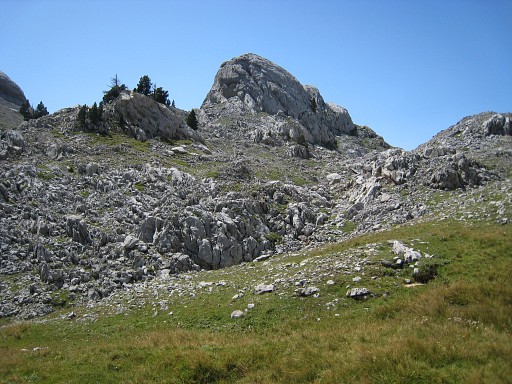
an open valley. The trail goes along a cabin and continues climbing to a next
level |
 |
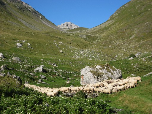
and to the end of the valley (Sources de Marmitou) where streams and grass
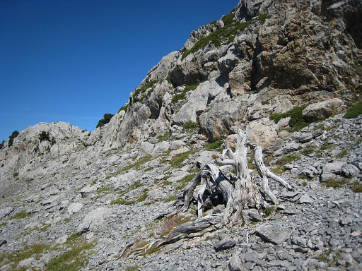
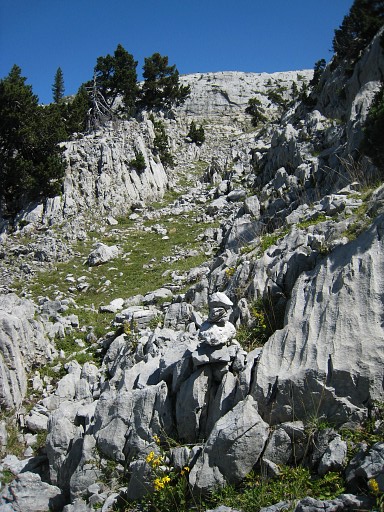
make another fine bivouac spot. While climbing along, it’s not obvious which pass to take, it prooves to be the one to the right. But first you have to traverse a rocky terrain, various cairn-trails will help you. Climbing to the pass is easy, whether on the trail or not. |
 |
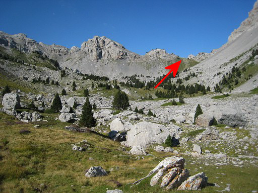
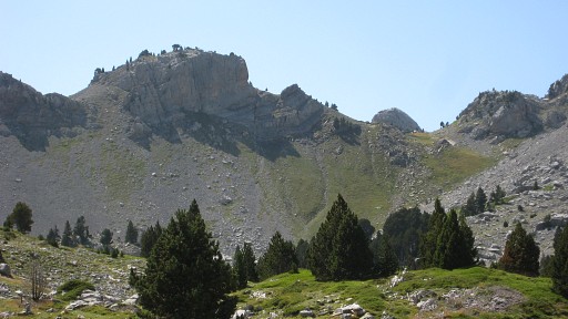
Beyond the pass (what seems the pass),
there is another grassy level. Also a nice bivouac spot, however
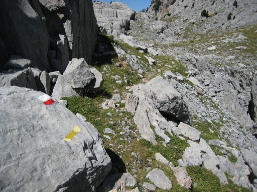
without fresh water. The real pass has yet to come but is a twin pass: one right, one left with a large rounded rockwall in between. The right one has a cairned and yellow waymarked trail, that one I will take on my way back. |
 |
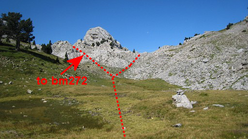
But the left one is where my gps points to bm272. There I find , with help of the Darrieu’s waypoints, bm272. |
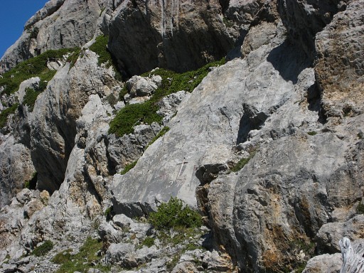 |
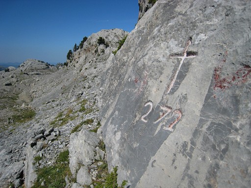
Bm272 It’s quite a large cross and not on the pass itself but a bit lower - so it seems - on the N-side of the (vague) trail. |
 |
Bm272 |
 |
Bm272, looking E |
 |
Bm272
|
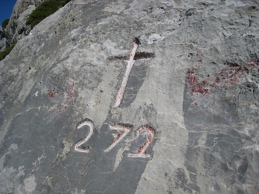 |
Bm272 Then I switch to the right pass by going back and rounding that rounded rockwall, mentioned before. My subtarget is finding a route to bm271 and 271bis. |
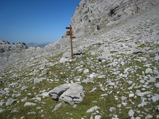 |
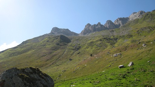
But I’m
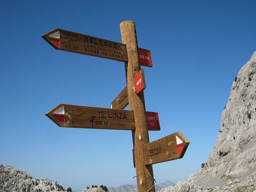
facing a giant rockwall to the North. I find a yellow trail which leads me westwards to this signpost. |
 |
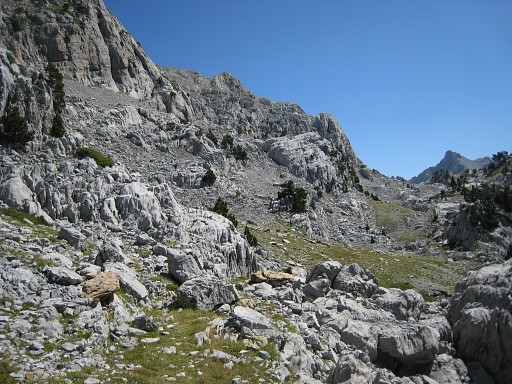
A lot of waymarked trails, making navigating easier in this terrain. This terrain - a karst plateau - is chaotic making orientation difficult. Without waymarked trails, wayfinding is tough and in bad weather dangerous. |
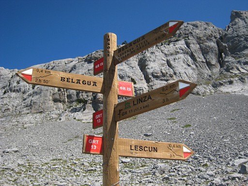 |
I will try the (direct) route to Belagua and see if there's a connection to bm271. |
 |
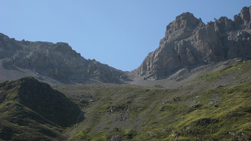
The yellow waymarks are joined by red/white ones after the waysign-post
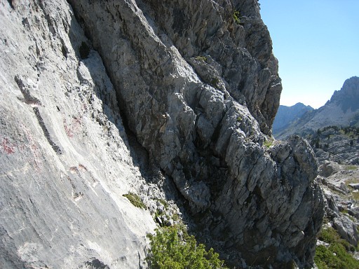
on the trail to Belagua. I follow that one for ± 2 km to see if there’s any walker’s access up that long and steep rockwall at the right. There’s none. |
 |
But thhe rockwall comes to an end and
lowers but access remains difficult and I see no path. This was one of two climbs to the ridge which I tried. It soon became too steep. |
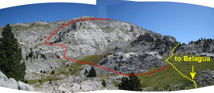 This is about where I stopped. Time is running out, I have to return.View-direction: NE. The steep rockwall is lowering and perhaps an access to bm271 is possible here via the red line. If you continue to Belagua, access to the ridge should be getting more easy, I think. |
|
 |
This was - to the left - the second of two climbs to the ridge which I tried. Also this one became soon too steep. This is difficult terrain to design an on-going route along the bordermarkers. |
 |
I'm returning, I've passed the col d'Anaye again and descended a while. This picture: looking back at that rounded rockwall. For bm272 - as said before - go left of it. |
 |
Now I've descended to
Sources de Marmitou. Looking back to the W, to the Col d'Anaye (at the
right of the ridge) where I came from. |
 |
Further on, this view to the SW (I believe) |
 |
With this zoom-in. Perhaps Col des Ourtets, I'm not sure. |
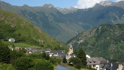 |
Almost back in Lescun PM: I was dressed/equipped in trailrunning-style, doing little stretches trailrunning. |
| previous
trip next
trip |
|