|
The
bordermarkers of the Pyrenees : all my trips
|
|
| - 2 september
2012 - Finishing yesterday's trip  previous
trip next
trip previous
trip next
trip 
|
 |
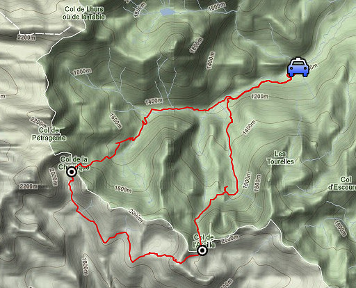 |
esfr-trip-track-20120902.kml (click to open this trip in Google Earth or copy link to Google Maps; click right on this link to download gpx-version) Summary: part of a 2˝-weeks-trip to the Pyrenees with a lot of targets, most of them reconnaisances of routes for the GRPdesBF. Day 8: in fact finishing yesterday's trip by trying a direct route from the lake of Ibon de Acherito to bm275. Weather: nice, sunny |
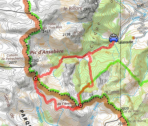 |
For
explanation of
the gps-coordinates and other cartographic backgrounds: cartography page Start: 9.00, no break: , finish: 16.45, net walking time: 7.45h According to the gps-tripteller: Gps-data not useful |
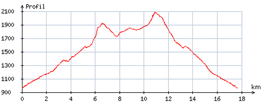 |
According
to visugpx - distance : 18,0 km - cum. elevation gain : 1355m - cum. elevation loss : 1374m - total elevation: 2729m - altitude maxi : 2088m - altitude mini : 960m - altitude average : 1471m |
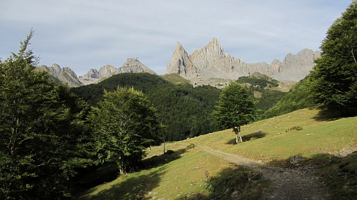 |
l parked my car at Pont Lamareich and walk in 2˝ hours to Col de la Chourique. This picture: on my way to cabanes d'Ansabčre, the weather is fine. |
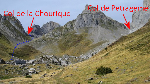 |
Close to the cabanes now. The blue line is my approximate route to Col de la Chourique. |
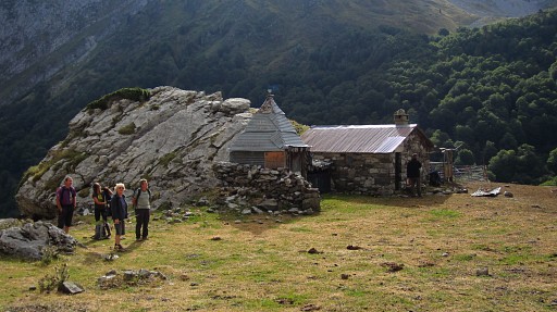 |
At Cabanes d’Ansabčre, one cabane is reserved for hikers. |
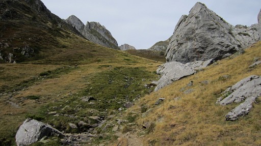 |
I
choose for the route to lac d’Ansabčre (left behind the cabanes). Then I climb from this giant pyramid-shaped boulder W, up the grass slope. |
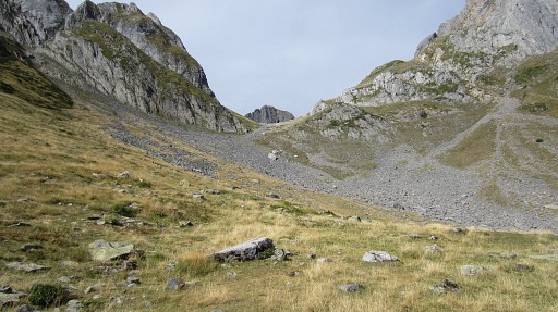 |
No trail however and climbing on grass
slopes is tough. Only higher on I get on a cairned trail that comes
from a branch from the trail to Col de Pétragčme. So you might better take at Cabanes d’Ansabčre the trail to ‘les Pics’ (at the right side of the cabanes) and look further uphill for a branch climbing SW to Col de la Chourique. This picture: approaching the Col de la Chourique. |
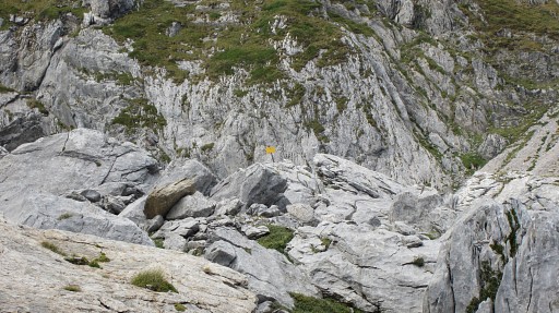 |
The yellow sign makes finding bm274 a lot easier. |
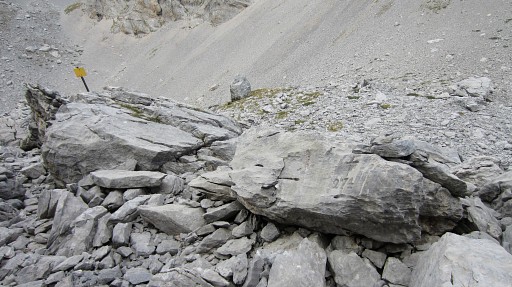 |
Bm274 |
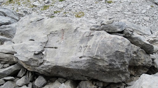 |
Bm274 |
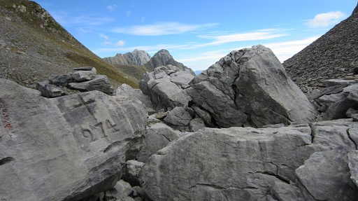 |
Bm274 |
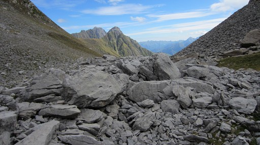 |
Bm274, looking E |
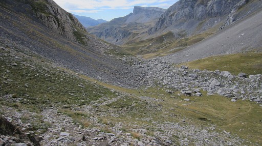 |
From Col de la Chourique descending into Spain along a cairned trail as I did yesterday. |
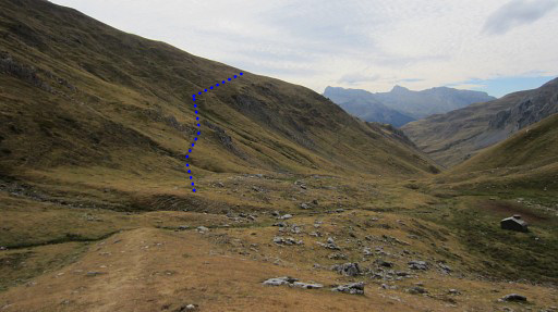 |
At the bottom of the valley (near the
cabin), I pick up the well visible trail (unwaymarked) which climbs SE
diagonally up the hillside. |
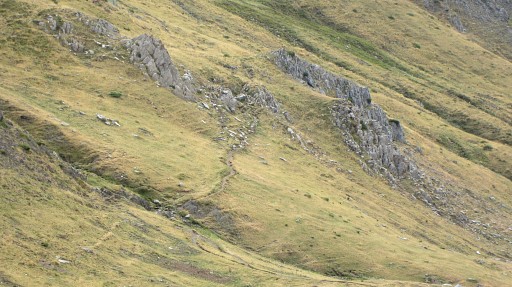 |
A zoom-in of that trail, well visible. |
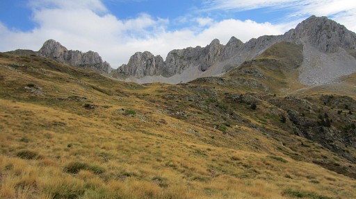 |
Higher on it will make a semicircle NE-SE around a valley. After completing the semicircle, the trail seems to vanish in the grass. The lake of Ibon de Acherito is not yet visible but nearby and the rock peaks behind the lake show you the direction. |
But let's show this route on Google Earth: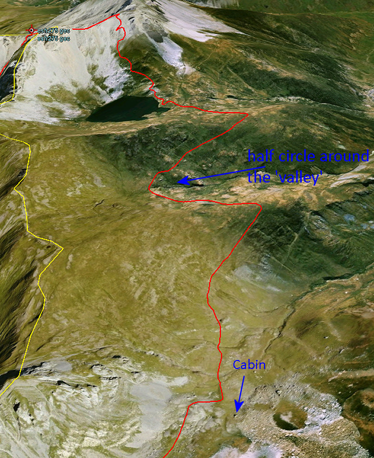 |
|
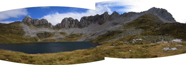
After a short climb E through the grass, you’ll arrive at the lake. |
|
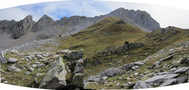 Then the route to bm275 is far more easier than I thought. This picture: looking forward to the green slopes to climb towards the rocky ridge. |
|
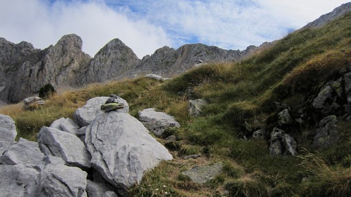 |
A cairned trail (in the upper part
there are various cairn-trails) leads you nicely - using the green hill
slopes up - |
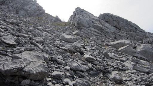 |
to the ridge |
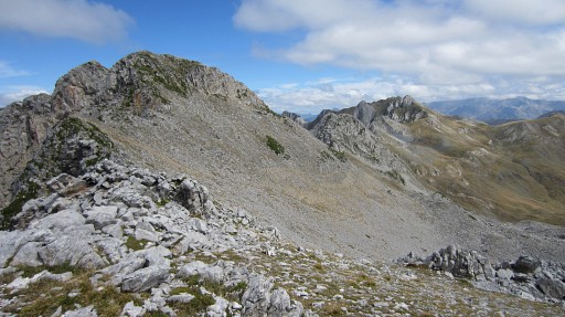 |
and from the ridge the trail continues to Col de Laraille with bm275. |
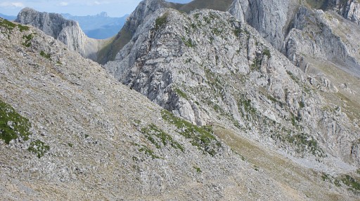 |
This zoom-in shows Col de Laraille.
|
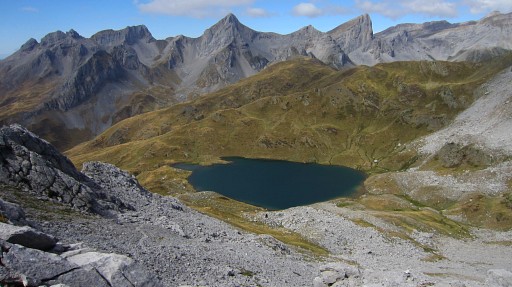 |
Looking back at the lake. |
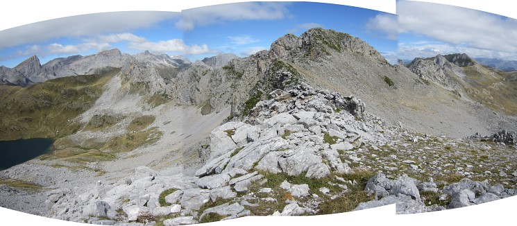
And this panorama - taken on the ridge - shows it all: left where I came from, right where I'm heading for. And now shown on Google Earth: 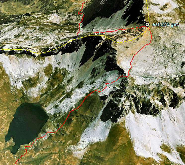 |
|
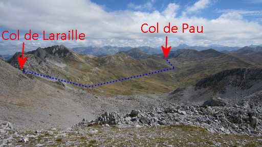 |
This is view along the valley to Col de Pau. From Col de Laraille it's a quite straightforward route to Col de Pau with bm276, although not waymarked for the most part of it. I did that on 20110823 |
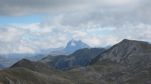 |
A zoom-in to Col de Pau, in the background the Pic du Midi. |
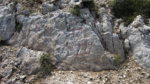 |
I have traversed the rocky hillside on a waymarked trail and have arrived at Col de Laraille. Bm275 doesn't look very professionally engraved and may require some searching. Now there was a cairn on top of it. |
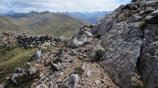 |
Bm275, looking E in the direction of Col de Pau |
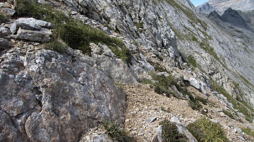 |
Bm275, looking W |
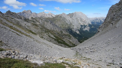 |
From Col de Laraille it’s a long - but very pleasant - descent. |
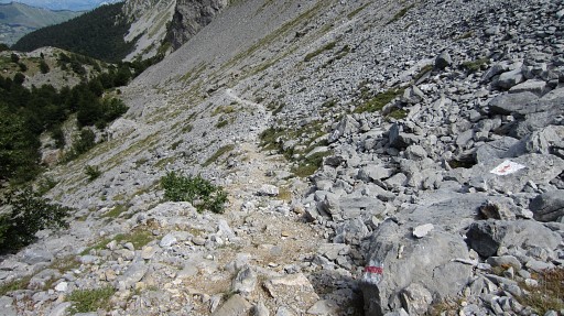 |
The ‘bordermarkers’ of the National
Park (white-red-white) help - besides the cairns - to get you down at
the dirtroad from Cabanes d’Ansabčre to Pont Lamareich |
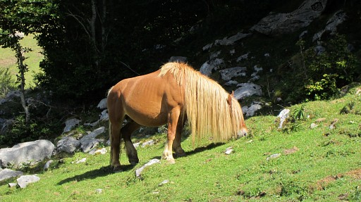 |
In between this hippy-horse. |
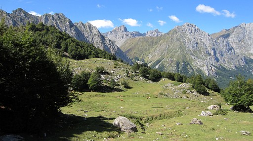 |
The views while descending were tremendous. |
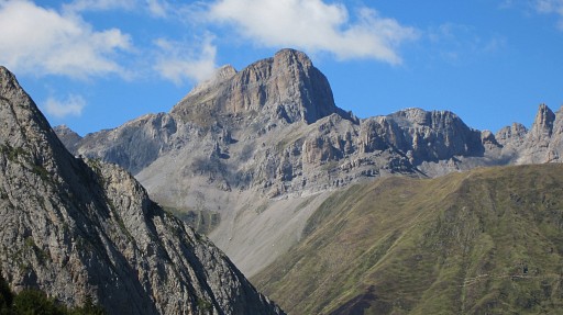 |
A zoom-in of the previous picture: we see the Table des Trois Rois with just behind it the Pic des Trois Rois. |
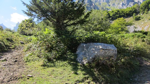 |
I have arrived at the junction of this trail to the dirtroad |
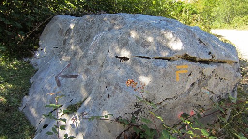 |
The trail to Col de Laraille is to the left, to the right is to Cabanes d’Ansabčre |
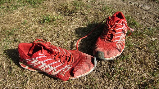 |
I'm back at the camping in Urdos and I have to part with my ultralight trail-shoes, worn and torn. It's a pleasure to walk on them, even in the high mountains. The sharp rocks of the karst-plateau of Arette however were a bit too much for them. But no worry, I took an extra pair with me. The next day I will drive to Lourdes. |
previous
trip next
trip  |
|
