|
The
bordermarkers of the Pyrenees : all my trips
|
|
| - 4 september
2012 - A fraudulent bordercross  previous
trip next
trip previous
trip next
trip 
|
 |
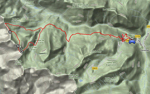 |
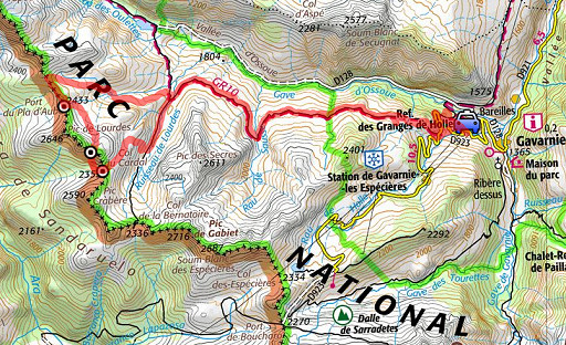
esfr-trip-track-20120904.kml (click to open this trip in Google Earth or copy link to Google Maps; click right on this link to download gpx-version) Summary: part of a 2½-weeks-trip to the Pyrenees with a lot of targets, most of them reconnaisances of routes for the GRPdesBF. Day 9: a circuit from Gavarnie to cover the fake bordermarker 316 and try an ongoing route from bm315 via this fake bm to bm316. Weather: cloudy in the morning, bright skies in the afternoon |
 |
For
explanation of
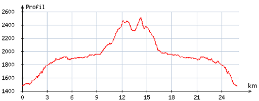
the gps-coordinates and other cartographic backgrounds: cartography page Start:9.15, break ¼h, finish: 18.30, net walking time: 9h According to the gps-tripteller: Distance: 27,2 km En route: 9.19h Total ascent: 1453m Maximum height: 2496m |
 |
According
to visugpx - distance : 26,3 km - cum. elevation gain : 1451m - cum. elevation loss : 1451m - total elevation: 2902m - altitude maxi : 2506m - altitude mini : 1478m - altitude average : 1929m |
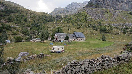 |
From Lourdes (my favourite Hotel d’Annecy) I drive to Gavarnie and park nearby Refuge La Holle. |
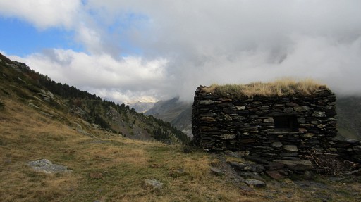 |
I pick up the GR10-trail (after some difficulty finding it) and follow it W until cabane de Lourdes. |
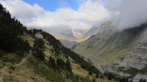 |
In the far distance, the Vignemale is visible. |
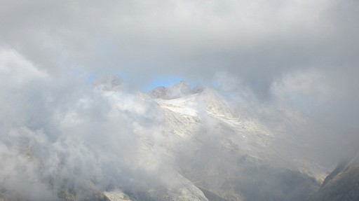 |
On this zoom-in the glaciers of the Vignemale. |
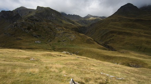 |
In the distance the Cabane de Lourdes. To the right of it, I will climb up the valley. |
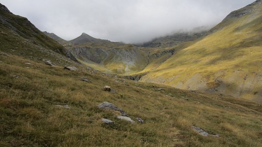 |
There are no trails and I climb W up the grassy slopes towards Port de Pla d’Aube with bm315. |
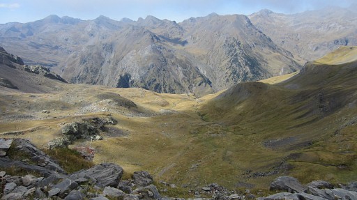 |
But I arrive ± 650m too far NNW of
that Port at the borderridge by some strange gps-dysfunction. This picture: looking into Spain from that spot. I have to go S along and under the ridge to reach |
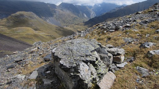 |
the real Port with bm315. |
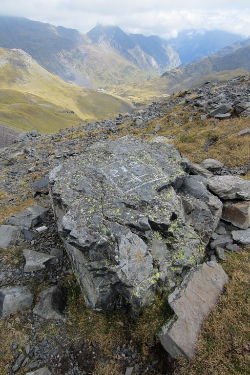 |
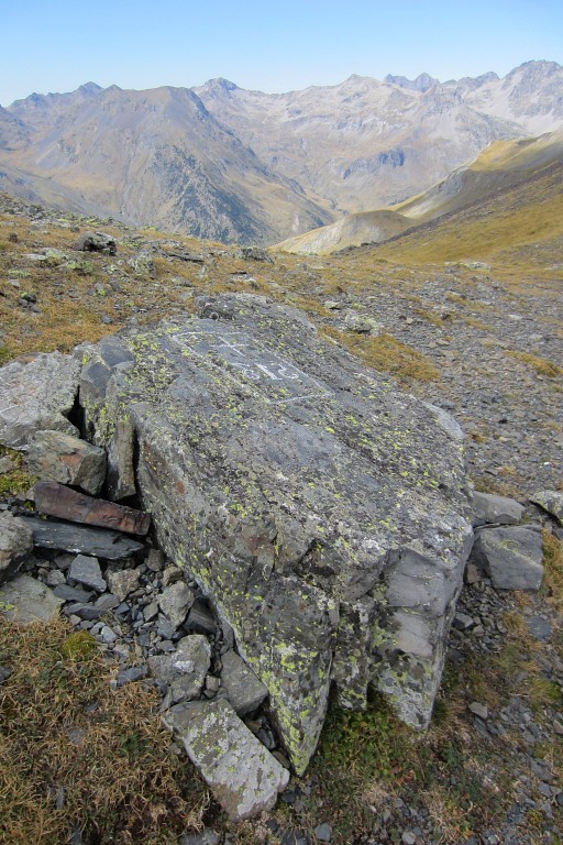
Bm315, looking into France |
 |
Bm315, looking into Spain |
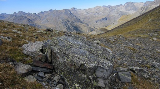 |
Bm315
|
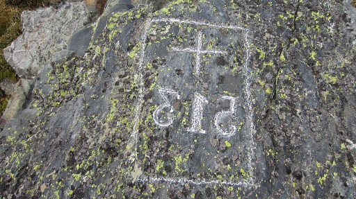 |
A
strange case of mirror writing,we see that more often. As if the
engravers couldn't write and didn't recognize the characters they had
to engrave. |
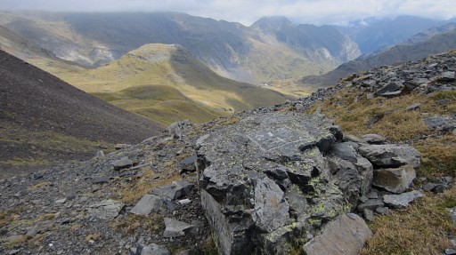 |
Bm315 |
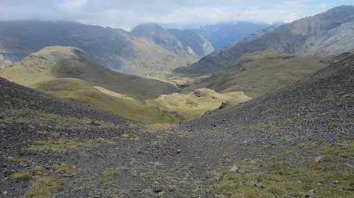 |
Then it’s a half ellipse to Col de Lourdes (a toponym not show on the IGN-maps). First a bit descending into France, |
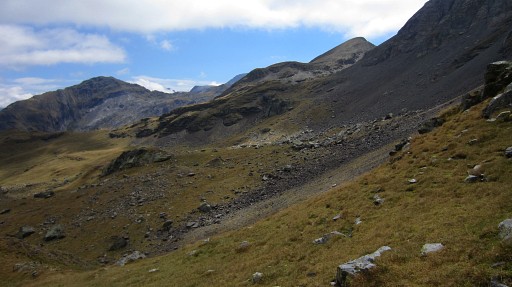 |
then bending to the right and traversing to Col de Lourdes, |
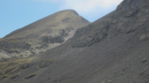 |
shown on this zoom-in. |
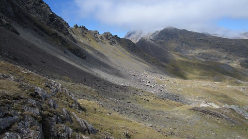 |
On my way to Col de Lourdes and looking back |
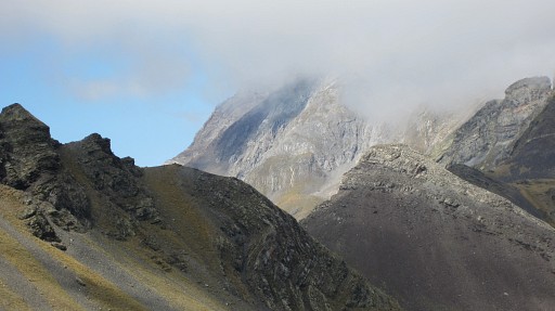 |
to - zoomin - to Port de Pla d'Aube |
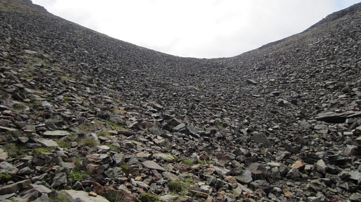 |
I am close now to Col de Lourdes. |
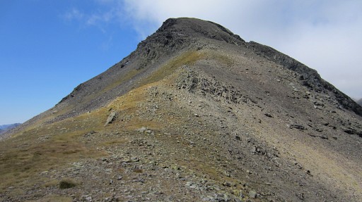 |
The fake bm316 is easily found on the N-side of the pass. |
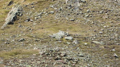 |
Zoomin of the previous picture. |
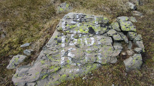 |
bm316fake. It’s only painted, not engraved. Who does the re-painting now and then, I wonder. |
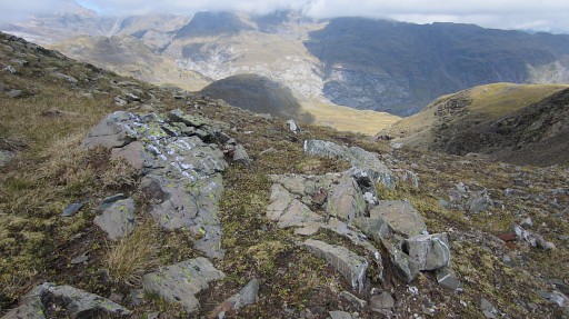 |
Bm316fake Probably painted by Spanish shepherds in an effort to legalize their border-crossing via this Col. The bordercrossing of spanish flocks was restricted to other cols. See also the curiosities-page. |
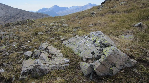 |
bm315fake |
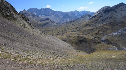 |
Then the next curve (S, then E) is
in Spain to Col du Cardal with the real bm316. That curve is easier than I thought although the descent is quite steep. One hint: stick to the grass strips while descending. This picture: I've just started the descent. In the far distance: |
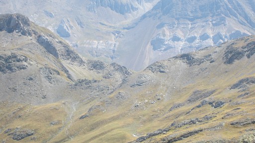 |
Col de la Bernatoire where bm417 is. |
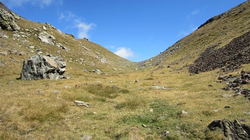 |
Approaching Col du Cardal. |
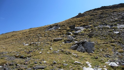 |
At the Col is up the hillside: |
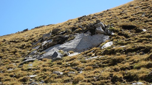 |
bm316 |
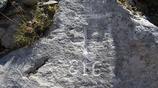 |
Bm316, the 3 is in mirror writing |
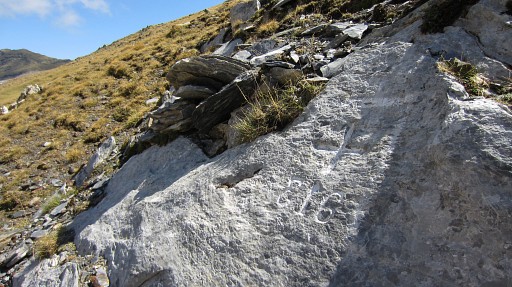 |
Bm316 |
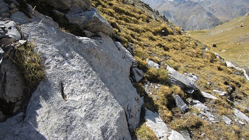 |
Bm316, looking into Spain. |
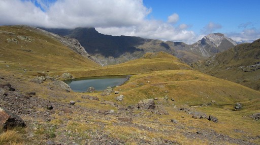 |
From bm316 descending back into France
to Lac du Cardal. That’s a nice bivouac spot with streaming water from
the lake to down below. Parallel to that stream I descend to the trail that leads to Col de Bernatoire. |
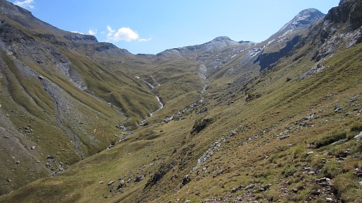 |
It’s a bit of wayfinding in the last steep part of this descent. |
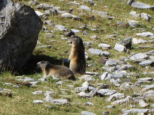 |
I spot a lot of marmottes. |
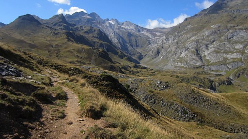 |
I'm back at the GR10 and look again towards the Vignemale. |
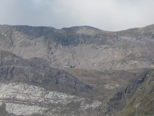 |
With this zoomin, I can even spot the refuge de Bayssellance |
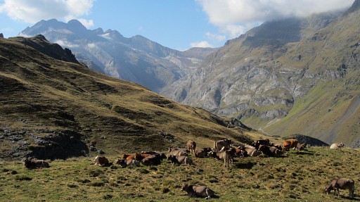 |
Then along the GR10 back to my car which is a long & long journey. This is another view back. |
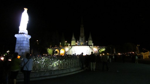 |
Then returning to Lourdes to my hotel and visiting at night the candles procession. |
 previous
trip next
trip previous
trip next
trip 
|
|
