|
The
bordermarkers of the Pyrenees : all my trips
|
|
| - 7 september
2012 - Bm330 = Bm330bis  previous
trip next
trip previous
trip next
trip 
|
 |
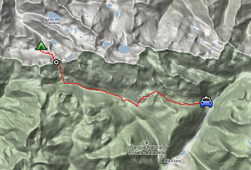 |
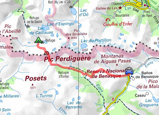
esfr-trip-track-20120907.kml (click to open this trip in Google Earth or copy link to Google Maps; click right on this link to download gpx-version) Summary: part of a 2½-weeks-trip to the Pyrenees with a lot of targets, most of them reconnaisances of routes for the GRPdesBF. Day 12: crossing the Port de Clarabide into Spain and trying a more direct route to Baños de Benasque. Weather: sunny & hot |
 |
For
explanation of
the gps-coordinates and other cartographic backgrounds: esfr-l-miscellania-cartography.html Start: 8.00 , break: 12.45-13.30, finish: 18.30, net walking time: 9.45h According to the gp-tripteller: Distance: 22,5 km En route: 10.25h Total ascent: 1202m Maximum height: 2573m |
 |
According
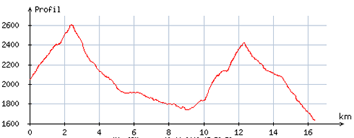
to visugpx - distance : 16,8 km - cum. elevation gain : 1227m - cum. elevation loss : 1635m - total elevation: 2862m - altitude maxi : 2607m - altitude mini : 1633m - altitude average : 2150m |
 |
From my camping spot near Cabane Prat Casaneuve, I climb uphill like I descended more or less on 20100902 and 20100904. This picture: the first part of my ascent. |
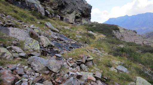 |
Although there are some cairns like this one on my way up, only much higher there is consistent and reliable cairn-waymarking. This picture is a kind of zoom-in from the previous. After the passage over the 'shoulder' |
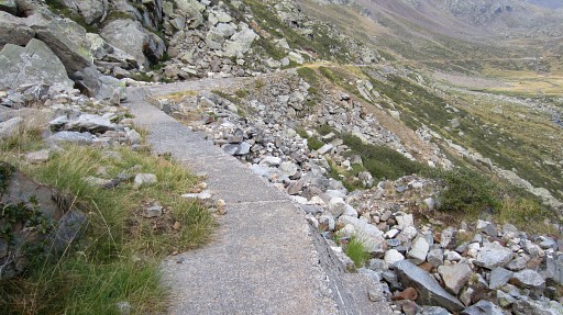 |
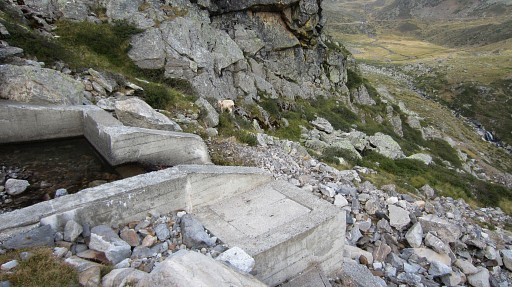
you will get at this peculiar concrete
watertransport-system. As you can see, it extends (better:
originates from) to ± 1km to the W. It starts at a small barrage
(visible on Google Earth) and it probably continues underground. At this point I climb SE uphill along a stream. My general directions: climb along the stream on its N-side, use whenever possible the grassy strips and spots. |
 |
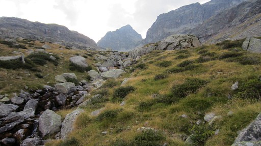
A bit higher, I pass this concrete construction. |
 |
A lot higher, you will approach |
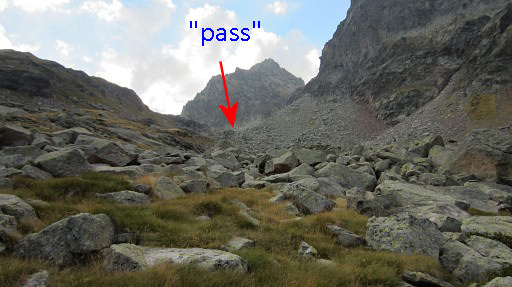 |
a sort of pass, south of a rounded green hilltop. |
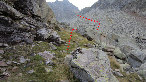 |
That’s probably where the trail coming
from Lac de Pouchergues arrives on its way to Port de Clarabide.
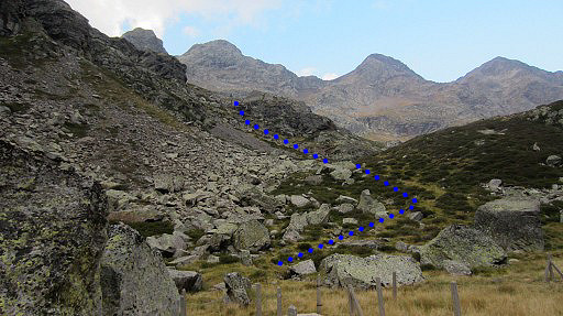
Around here pick up the cairns-trail which first brings you to the other side of the rockfall-valley. The red line is a rough indication of the trail. |
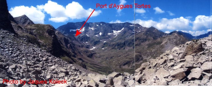 But first this picture of Jacques Koleck, received in 2013, taken from approximately the previous spot. We are looking west and at the end of the valley of Aygues Tortes you can climb to Port d'Aygues Tortes and descend into Spain. That borderpass is the original spot of bm330 but that is a discovery made only 1 week later by Jean-Paul Laborie. See hereunder. |
|
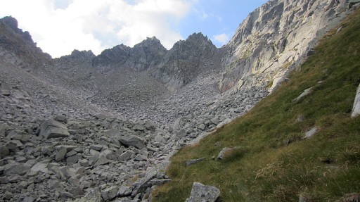 |
Then the trail climbs further on grass-strips between rockwall and rockfall. |
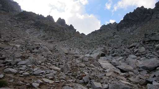 |
You’ll arrive at this sandy bottom of the upper valley. That’s where the final ascent starts. BUT don’t climb to the ‘pass’ to the right which seems the obvious pass but isn’t. It’s the next one, more or less straight on from that sandy bottom. There are cairns (partly) to help you. |
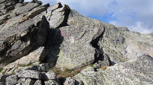 |
At Port de Clarabide, at it’s W-side, bm330 is very visible. However: a few weeks later - back at home - I wil learn that this bm330 should be considered as bm330bis! |
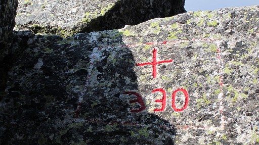 |
This bordercross was engraved in 2003 when the original engraving of bm330 was
unfindable at the Port. But on 14 september 2012 - exact 1 week later than today - Jean-Paul Laborie, “délégué à l'abornement” of the Pyrenean bordercommittee, will discover the original bm330 on the Port d’Aigues Tortes, 3,5 km to the west. Read the full story of this amazing discovery on the curiosities-page. |
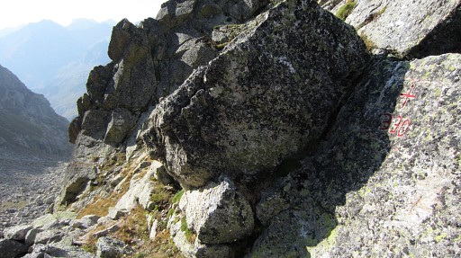 |
Jean-Paul now wants to rebaptize the
bm330 on Port de Clarabide to bm330bis. And I changed it already on my site and in the waypoint-datafiles. |
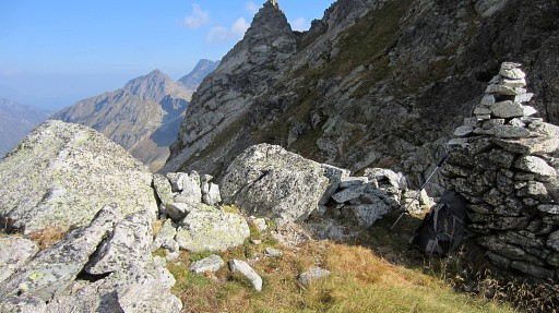 |
On this pass, there's a square - and partly walled - enclosure. You could even bivouac here if you bring enough water. |
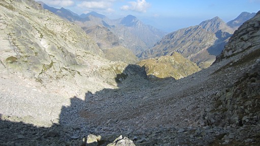 |
Looking back into France. |
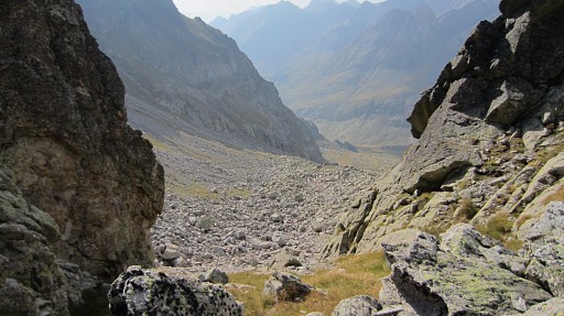 |
Then descending into
Spain: first on the grass slope, then across the rockfall and
then pick up the cairns-trail which leads downwards through the E-side
of the rockfall. |
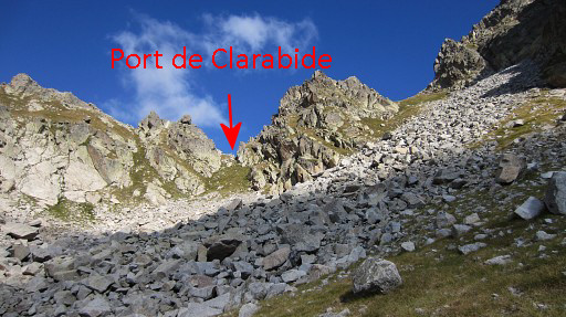 |
Looking back at Port de Clarabide. |
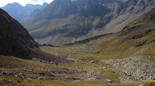 |
The rest of the descent is straightforward, cairn-trail or not. |
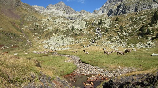 |
And a last view back to Port de Clarabide with |
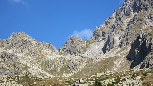 |
this zoomin. |
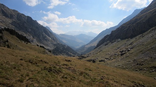 |
Having arrived on the GR11-trail, I proceed E. |
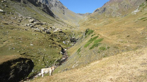 |
But first this view behind to Puerto de Chistau where the GR11-trail comes from. |
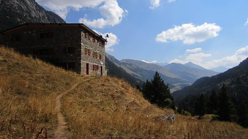 |
After ± 2,5 km I reach Refugio de Estos and take a lunch-break. |
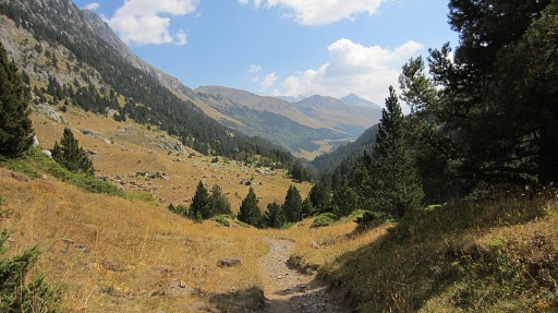 |
The afternoon was spent on trying a
shortcut to Banõs de Benasque as an alternative for the easy but longer
detour SE->NE along the GR11. First ± 2,5km further along the GR11 until Cabane del Turmo. |
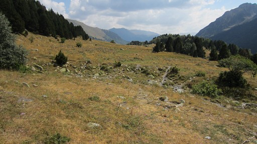 |
There I leave the GR11 and cross the
stream and head E on a trail for the ruines of Cuartel Militar, already
visible from the cabane. Beyond the ruines, I soon reach a stream (now dry, higher up still running). That's here. |
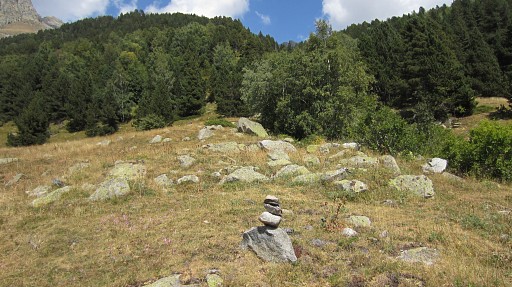 |
Just before the bed of the stream, a ‘cairned’ trail starts, winding NE steeply in the forest, parallel to the stream. |
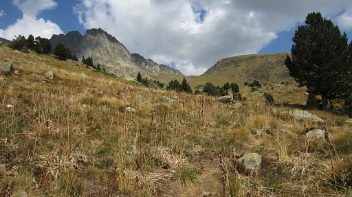 |
Then it reaches the upper open part,
an open ‘valley’. The trail itself heads to the summit of Perdigueret,
I was told by an walker passing by. There’s no trail visible going to Cuello de Perdigueret so I just head straight for that pass, a tough climb through the grass. |
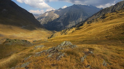 |
On the other side, there are
cairns for a while but not the distinct trail I expected to Cabane de
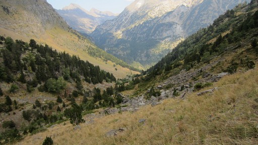
Lliterola. I follow the S-side of the valley in a long descent (not difficult) |
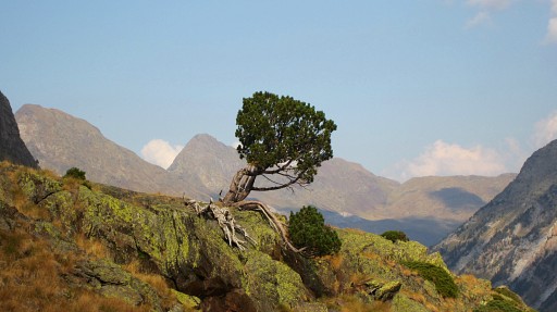 |
In between, a beautiful tree, |
 |
I'm getting lower and lower |
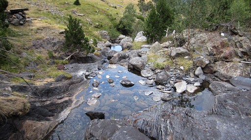 |
until the ‘trail’ approaches the stream and I can cross it. |
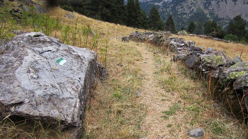 |
On the other side - a bit higher -
there's this green/white trail. It's a trail from the road up along
Cabane de Lliterola to the lake of Ibonet de Lliterola. Looking back, it would have been better - after passing Cuello de Perdigueret - to descend to the N-side of the valley. That would have brought me to Cabane de Lliterola and then to this green/white trail. |
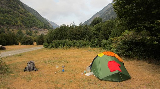 |
Then a last zigzag descent through the forest and I reach the road. A Spaniard gives me a
hitch to a camping, 3km to the S. That was - afterwards - not necessary, there is a camping 300m to the NE and plenty of bivouac possibilities near the river Rio Esera. Conclusion: it’s doubtful if this shortcut is worth the effort, the detour along the GR11 is longer but probably equally fast. |
 previous
trip next
trip previous
trip next
trip 
|
|
