|
The
bordermarkers of the Pyrenees : all my trips
 |
|
| - wednesday 5 june
2013 - Swiping a bordermarker |
 |
|
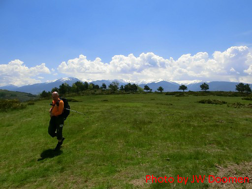
Summary: a seven-days trip with Jan-Willem with a lot of targets in the Basque country and around Llivia. Day 6: Three (in fact 4) trips in one day. Our basecamp is camping Las Closas in Err. Weather: The morning is splendid like yesterday. In the afternoon: again rain and thunder. |
 |
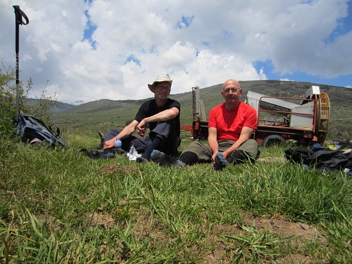
We start our day with fried sardines |
 |
on fresly baked bread from the local 'boulanger'. |
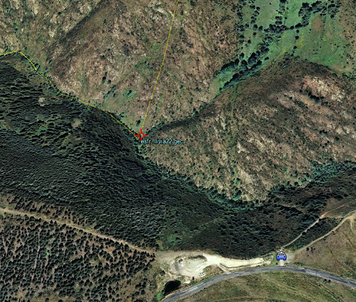 |
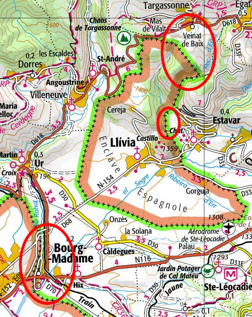
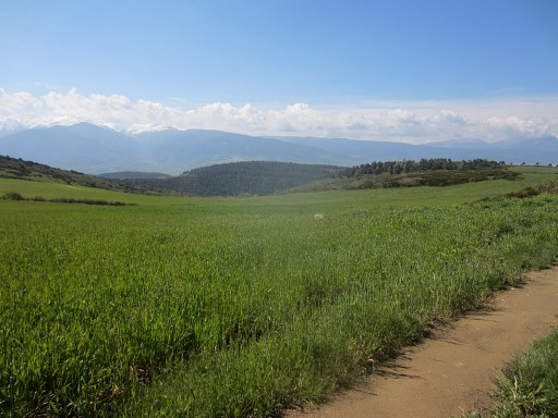
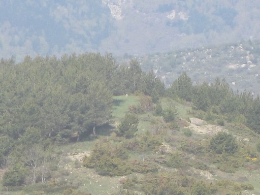
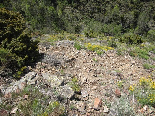
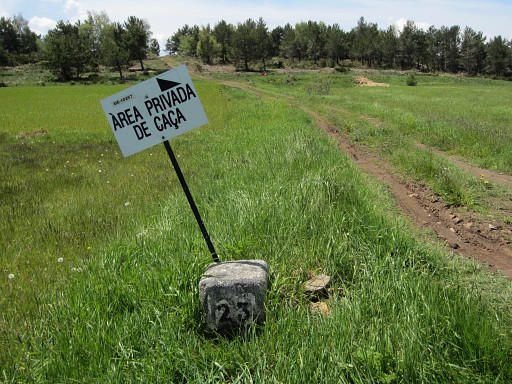
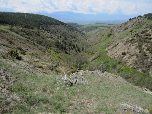
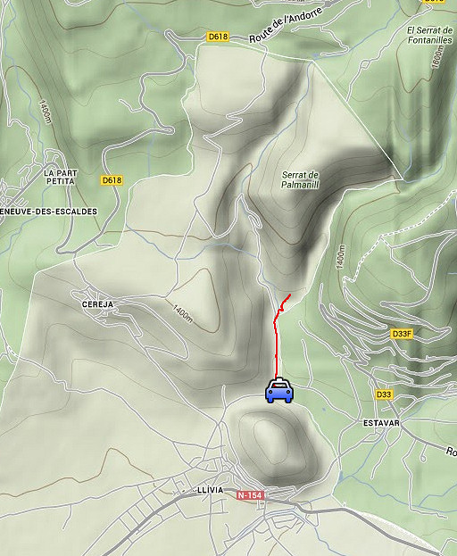
Trip 0 We drive to Targasonne but between Estavar and Égat we make a stop. You can see on this Google Earth-print where we parked our car. I make a few pictures in the directions of bm22. Note the yellow borderline ánd the strip of meadows which descend towards a sort of ravine. That ravine is the access to bm22. |
 |
This is the overall view. |
 |
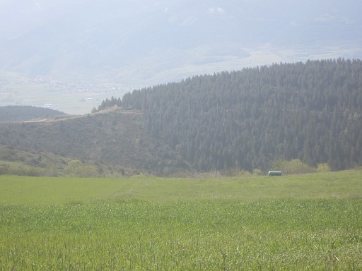
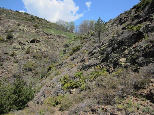
On this zoom-in we can see the meadows which stretch downhill until a certain point. Just below the lowest point of the meadows, there's a small cascade (not visible on this picture). |
 |
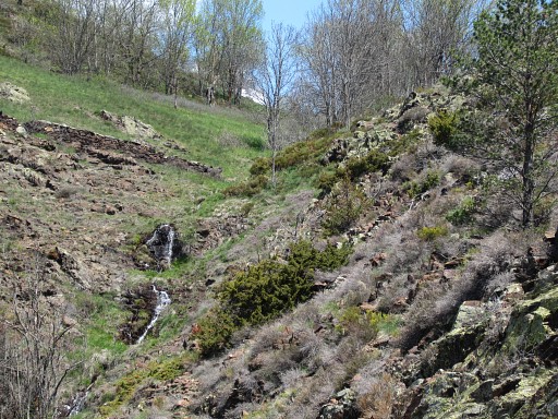
From the meadows there's a stream descending steeply into the vally |
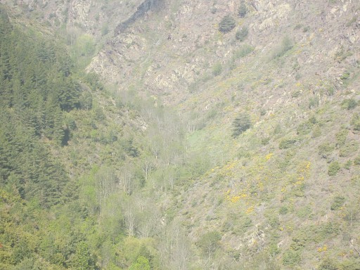 |
and merges with another - larger -stream. Bm22 is at that junction. |
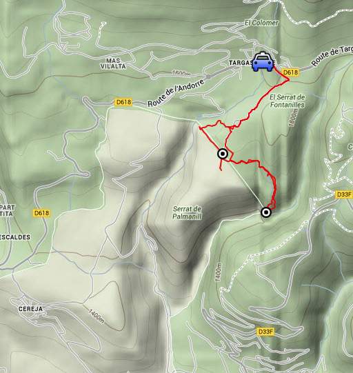 |
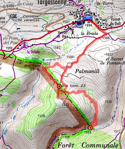
Trip 1 Trip from Targasonne to bm22 and bm23, partly to renew pictures and gps-coordinates but also to explore direct routes from bm22 to bm23 to bm24. |
 |
esfr-trip-track-20130605-trip1.kml (click to open this trip in Google Earth or copy link to Google Maps; click right on this link to download gpx-version) For explanation of the gps-coordinates and other cartographic backgrounds: cartography page |
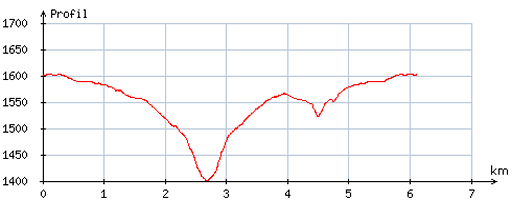 |
According
to visugpx - distance : 6,2 km - cum. elevation gain : 229 m - cum. elevation loss : 237 m - total elevation: 466 m - altitude maxi : 1603 m - altitude mini : 1400 m - altitude average : 1546 m |
 |
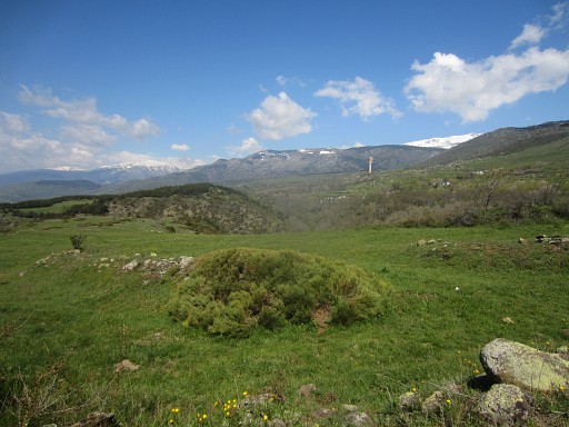
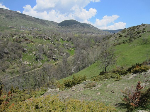
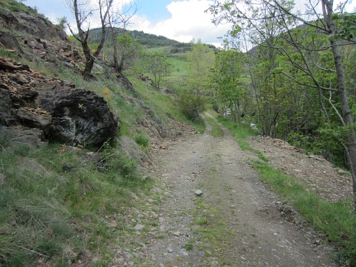
We park the car in Targasonne and take the dirtroad to bm23. It brings us to a sort of plateau. We're looking SE, that's where we have to go to descend to bm22. |
 |
This is a zoom-in, we can see the 'pass' at the other side of the valley where we parked our car for the first pictures . |
 |
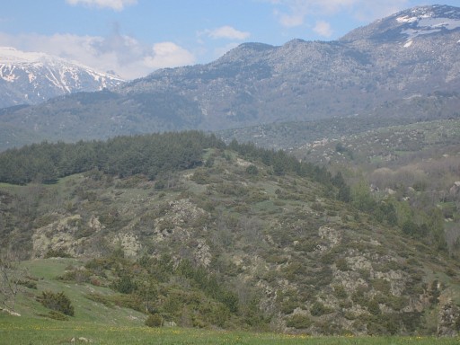
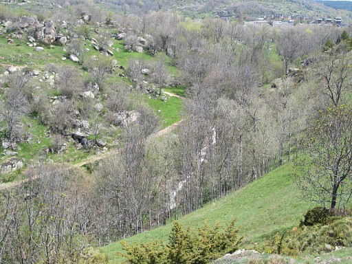
This is view to the W |
 |
with this zoom-in of the hilltop |
 |
where we even can spot bm25 |
 |
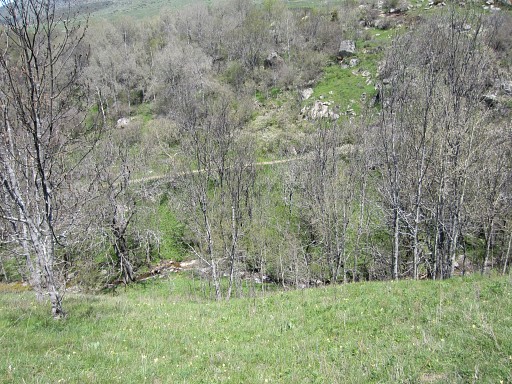
This seems the same view W |
 |
but
the target is - on this zoom-in -this dirtroad which descends to the
sewage installation in the valley. Bm24 is ± 30m to the SW of this
installation. |
 |
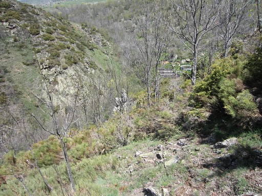
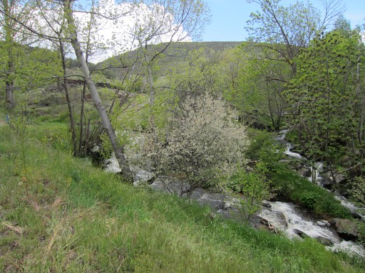
But first to bm22. We descend SSE down several meadows until the lowest point of the lowest meadow. The stream has meanwhile appeared at our right hand and becomes a small cascade just below that lowest point. Then it's carefully descending along the stream. Jan-Willem suffers from vertigo and stays behind. It's becomes a quite steep ravine until bm22 |
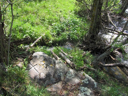 |
where the stream merges with another - larger - stream coming from the E. |
 |
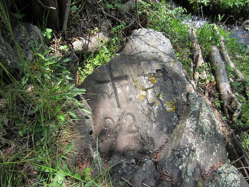
Bm22 is on the NW-corner of this confluence. |
 |
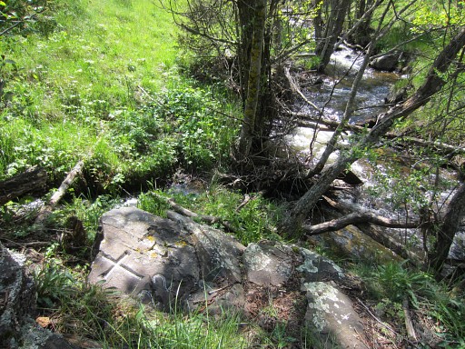
By
the way: from the confluence there's a grassy strip visible at the
S-bank of the larger stream, extending to the W. Is that a possible access route along the borderriver? This picture: looking W along the valley with the borderriver |
 |
with this zoom-in. |
 |
Climbing
back to the cascade is easier by climbing the rocky hillside NE of the
confluence and not uphill along the stream. There are cattle
trails which help you on your way back. This picture: I have already climbed a bit back and look back at the valley where I came from. |
 |
I approach the meadows and can already see the cascade. |
 |
From
the cascade, we climb back throught the various meadows. After a while a kind of dirtroad emerges which brings you finally on the plateau to a T-junction with another dirtroad. |
 |
We first go 15om S to see where the dirtroad leads to. Well: that's a large field covering the top of the hill, |
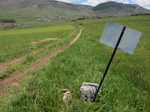 |
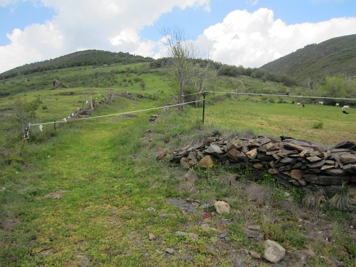
We return to the junction and bm23 is 35 meters to the N. |
 |
Bm23 |
 |
From bm23, we want to investigate a direct route to bm24. This picture: looking in the direction of the valley where bm24 is located. |
 |
A really straight route NW to bm24 becomes perhaps too steep but in any case too troublesome with all that brem. |
 |
This picture: another - more gentle - descent into the valley seems possible more to the S. That is: from bm23 going straight W. But once in the valley you have to struggle (?) 300m N along the stream until bm24. |
 |
But when going first N from bm23, you'll get to a more gentle and non-rocky descent to the stream. |
 |
Zoom-in from previous picture. |
 |
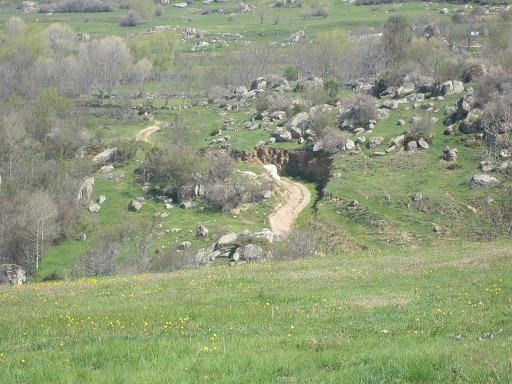
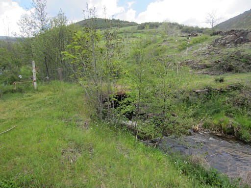
You
have to cross the stream to reach the dirtroad which brings you to a
sewage-installation. Bm24 is ± 30m SW of this installation. |
 |
But we don't cross the stream, we know enough and return - after a lunchbreak - to the car. |
|
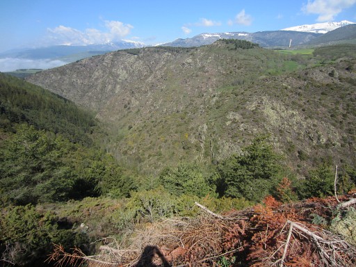
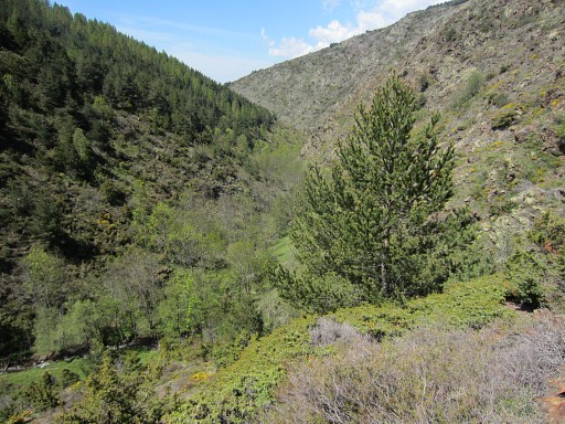
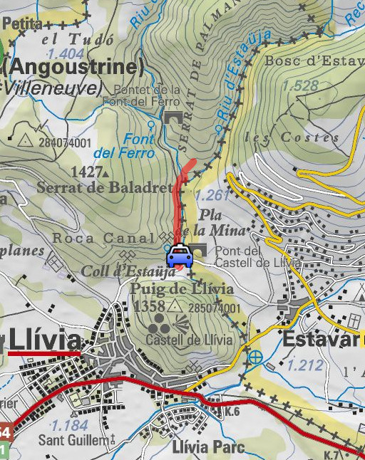
Trip 2 We drive to the 'pass' N of the hill-top of the castle of Llivia. We were here yesterday. We want to see if it's possible to go along the real border-river until bm22. Yesterday we followed the wrong stream. |
 |
esfr-trip-track-20130605-trip2.kml (click to open this trip in Google Earth or copy link to Google Maps; click right on this link to download gpx-version) For explanation of the gps-coordinates and other cartographic backgrounds: cartography page |
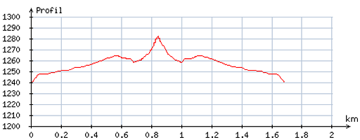 |
According
to visugpx - distance : 1,7 km - cum. elevation gain : 31 m - cum. elevation loss : 32 m - total elevation: 63 m - altitude maxi : 1282 m - altitude mini : 1240 m - altitude average : 1258 m |
 |
We start again on the yellow trail (like yesterday) but leave it when there's a branch of the dirtroad to the right. |
 |
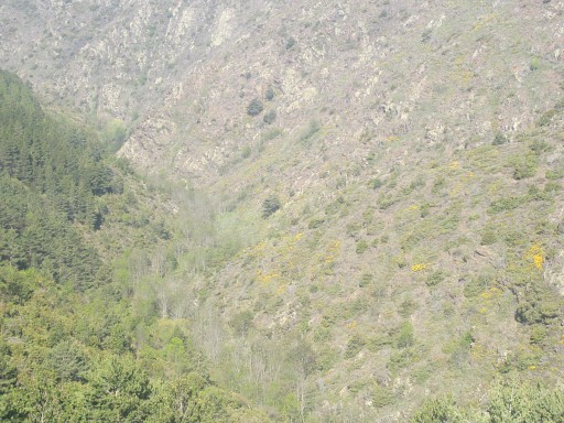
It
brings us to the confluence of 2 streams. The one coming from the right is the borderstream and leading to bm22. That's our lesson from yesterday. |
 |
Luckily there's a bridge over the left stream |
 |
and
then there's a horse-meadow to tackle. However: you can go around it (W
and N) and reach the borderriver again and possibly proceed to bm22. However: a thunderstorm starts. It's wiser to stop and we return to the car |
| But let's draw that direct route on Google Earth -> that's the yellow line. From the bridge, that would be ± 1,7km and ± 150m climbing. That seems feasible but the proof of the pudding is in the eating. The valley could be too narrow and/or steep at certain points, we don't know. If feasible, I think it would take one hour. An alternative would be - from the bridge - climbing the hill to the N (along a trail visible on GE) and proceed NE and then descend to bm22 -> the red route. That would take (from the bridge): ± 2,8km and ± 350m climbing & 200m descending (550m total elevation). That would take ± 2 hours, I guess. 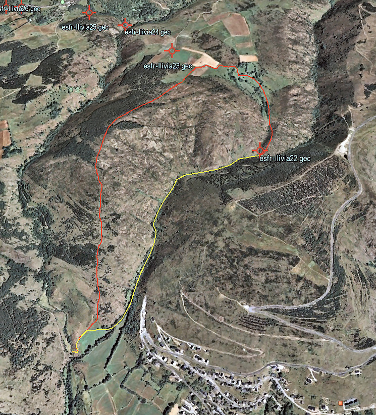 |
|
 |
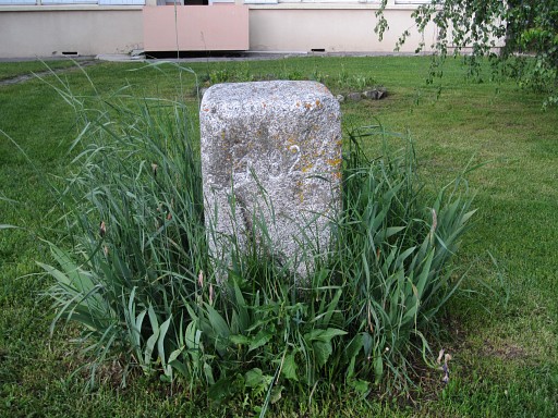
Trip 3 Exploring the 481, 482 and 478 bordermarkers in Bourg-Madame. |
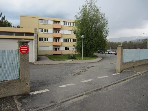 |
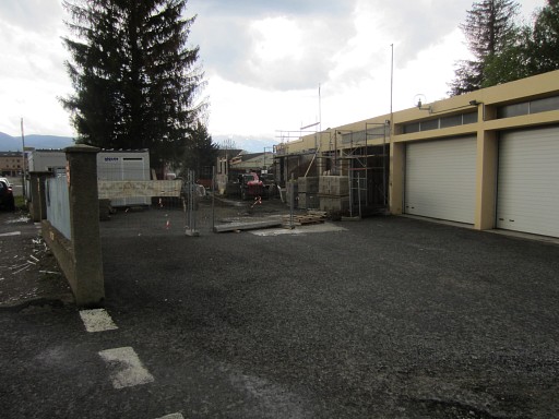
It's still raining and thundering. We find the original ones (from the French side of the border) at the premises of an apartment-building, named "Cité des Douanes' in the Rue des Narcissus. It was Miguel Martin who informed me that they still existed and sent pictures. The complex looks like living quarters and not like an office. |
 |
Bm482fr stands in front of the building |
 |
Bm482fr |
 |
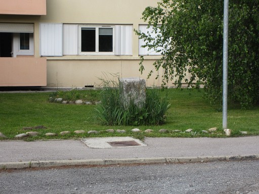
The third digit is hard to read, is this 481 or 482? We don't know yet. We first try to search the other bm (481 or 482) which should be on the same premises. |
 |
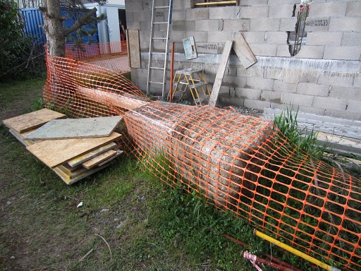
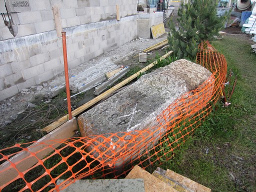
But that one is difficult to find. It turns out to lay aside of this building in construction. |
 |
That gives us a chance to see |
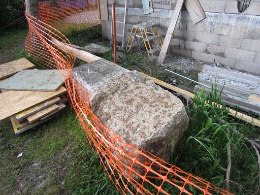 |
the huge rough base of the bm. |
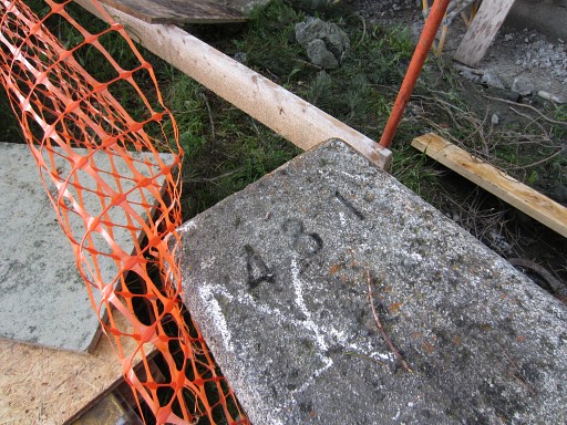 |
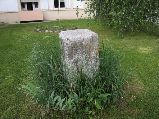
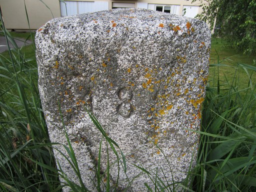
And this is definitely no. 481 |
 |
Bm481fr |
 |
So we can identify the first one as bm482fr |
 |
Then to the original spots where two bronze-like plates in the tarmac have replaced the originals ones. This is the spot of 482 |
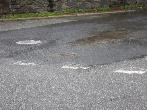 |
Zoom-in: bm482fr |
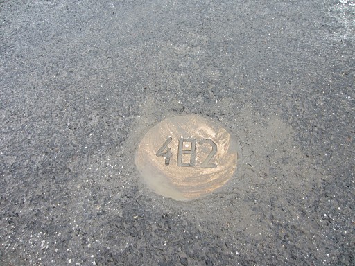 |
bm482fr |
 |
Bm482fr |
 |
Bm482fr |
 |
I
know that the 481fr-plate has been covered by an new layer of tarmac in
2012 (information of Miguel Martin). But now a hole has been made in the tarmac |
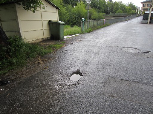 |
Seen from the other side. However, the rain has filled the hole and we can't see if there's a bronze plate 481 at the bottom. |
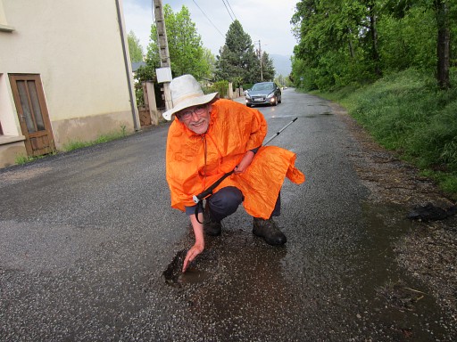 |
But Jan-Willem has an Ipad and is experienced in 'swiping'. That's how he drains the hole, the clever boy. |
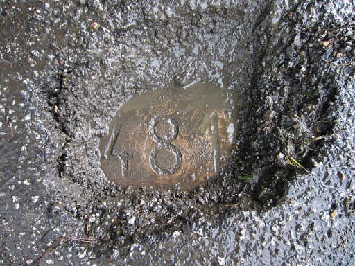 |
Bm481fr |
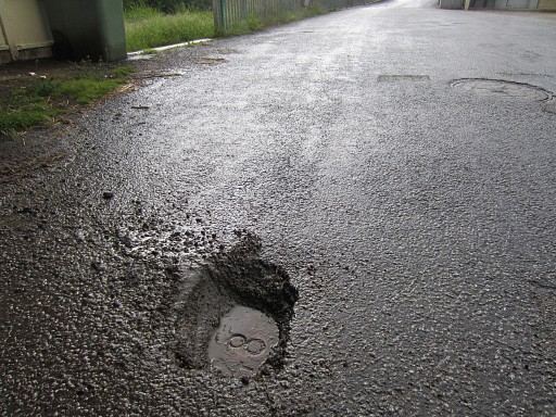 |
Bm481fr |
 |
Then a walk from the borderbridge to a side-road of the
street between Bourg-Madame and Puigcerda. It's actually a dirtroad with allotments (private vegetable gardens) left and right. I want to see if it gives access to the meadow where bm482es is located. |
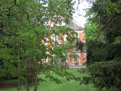 |
This is the mysterious villa, just SW of the bridge. In its garden is hidden between the bushes bm481es. The villa seems inhabited since years. If I become a millionaire, I will buy it and will have my own bordermarker in my own garden. |
 |
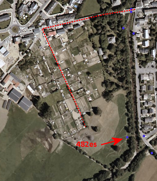
Back to the sideoroad: it does indeed give access to the meadow where bm482es should stand at the far end of this picture. There are cows in the meadow and that's why we return |
 |
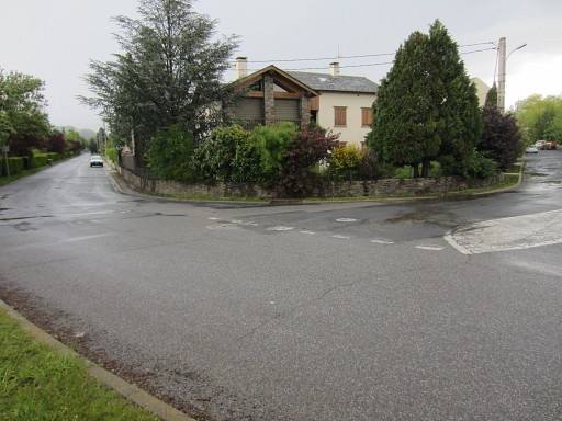
View of this sideroad/dirtroad, taken from the main road. It's an alternative to crossing the river between bm482fr and 482es, only possible when the water level is low. There might be another alternative: the path from the 'borderbridge' along the Spanish bank of the river. I don't know how far it's walkable. |
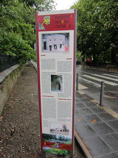 |
At the borderbridge this information panel. |
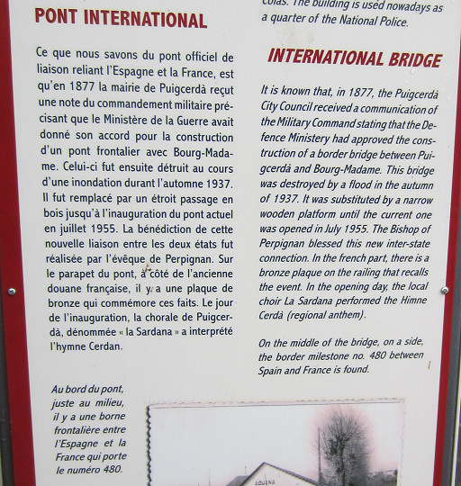 |
And this is interesting for us. |
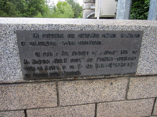 |
This is the bronze plaque, mentioned above. |
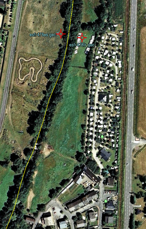 |
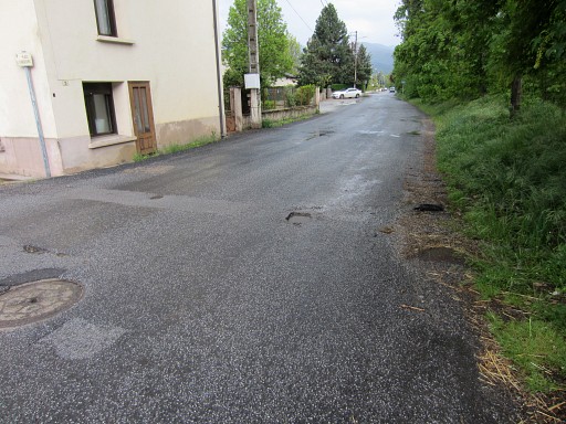
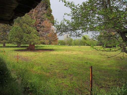
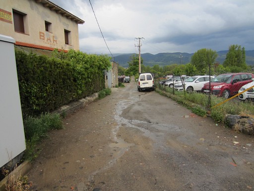
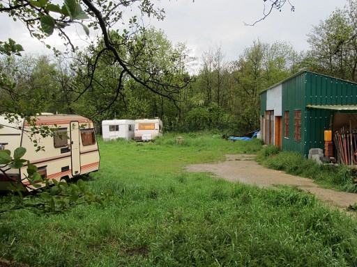
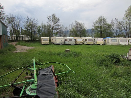
Then our last target: bm478fr, mainly underground when I last saw it in 2005. It's located in a meadow which is now used as a storage field for caravans. There's a camping on the other side of the dirtroad. |
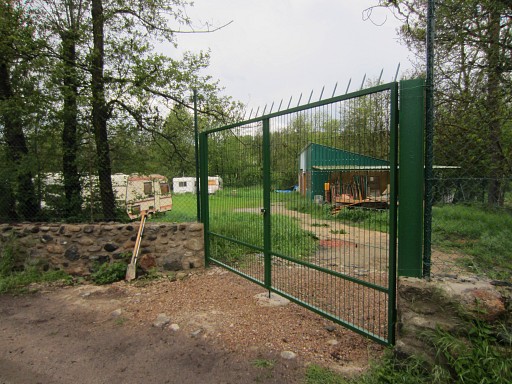 |
We take a shovel with us. But the field is now completely fenced and not accessible |
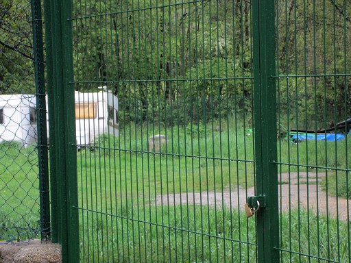 |
But bm478fr is visible throught the fence. And it's well above the ground! In 2005 it was allmost buried. |
 |
Bm478fr, picture taken through the fence |
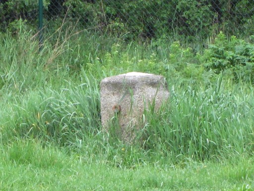 |
Bm478fr: zoom-in |
 |
Bm478fr The best pictures can be made from behind the fence at the riverside (go around the fence at the right). |
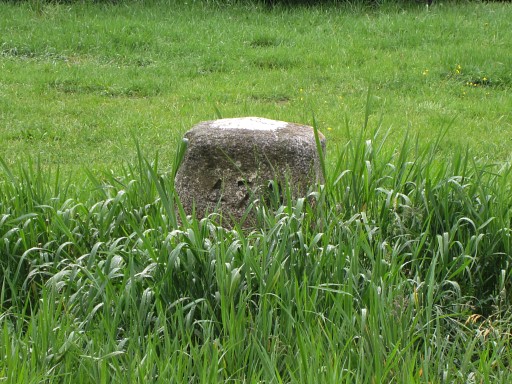 |
Bm478fr, zoom-in |
 |
We return to to our camping, it's still raining .... |
| previous
trip next
trip |
|