|
The
bordermarkers of the Pyrenees : all my trips
|
|
| - thursday 22 august
2013 - Slow walking  previous
trip next
trip previous
trip next
trip 
|
 |
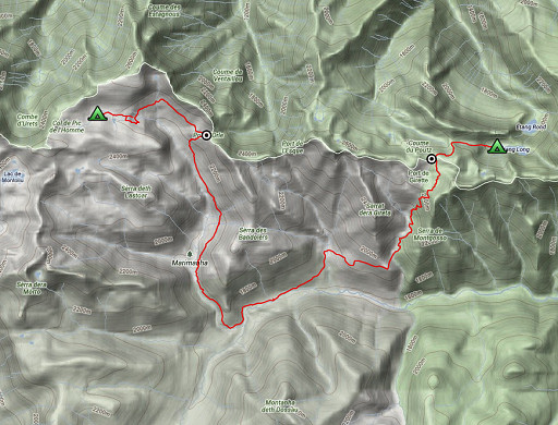 |
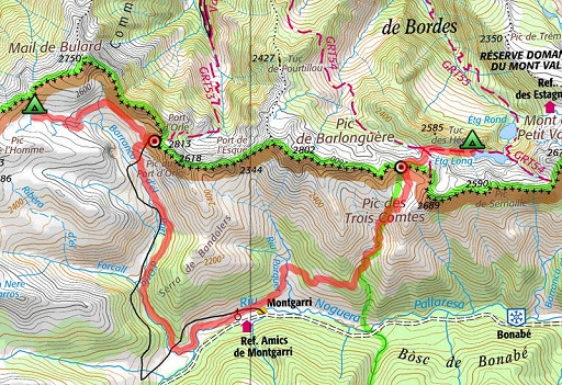
esfr-trip-track-20120822.kml (click to open this trip in Google Earth or copy link to Google Maps; click right on this link to download gpx-version) Summary: part of a 12-days trip to the Pyrenees with a lot of targets from the Ariège mountains to the Basque country. Day 2: second day of a 6-days hike following the Ariège borderridge from bm418 to 425, today covering bm420 and 420bis via Montgarri Weather: full sunshine, cloudy in the afternoon with thundering in the distance |
 |
For
explanation of
the gps-coordinates and other cartographic backgrounds: cartography-page Start:8.45, break: 12.45-14; , finish: 18.30, net walking time: 8.30h According to the gps-tripteller: Distance: 21,9 km Total ascent: 933m Maximum height: 2505m |
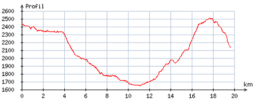 |
According
to visugpx - distance : 20,0 km - cum. elevation gain : 947m - cum. elevation loss : 1247m - total elevation: 2194m - altitude maxi : 2511m - altitude mini : 1649m - altitude average : 2088m |
 |
From
my bivouac-place, I pick up the stream again. There are
some red/white waymarkings but following the stream
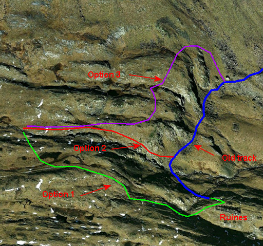
will do. When the stream enters a sort of canyon, you have three choices to reach an old railway-track which leads you to Port d'Orle: 1. turn right, go over the hillridge, a small stream appears and follow that one to the ruins of a mining building. From there the old railway-track takes you with a curve to Port d’Orle 2. keep following the stream, which becomes a cascade: descending there I found too steep for me 3. go left, follow the edge of the rocky and steep hillside and descend when it gets more gentle and grassy to the track. |
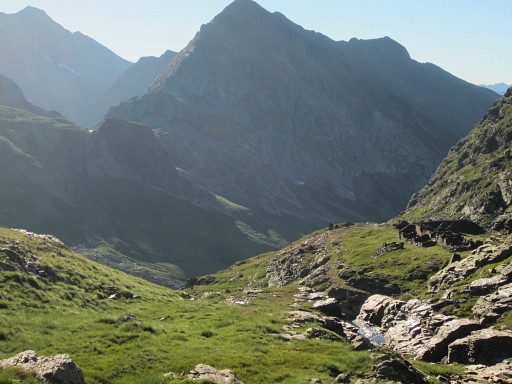 |
This is option 2 which I tried first. I keep following the stream. |
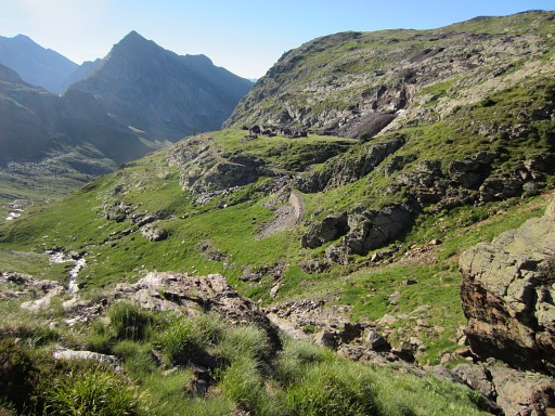 |
From here - where the cascade begins - I found it too steep to descend to the railway-track. |
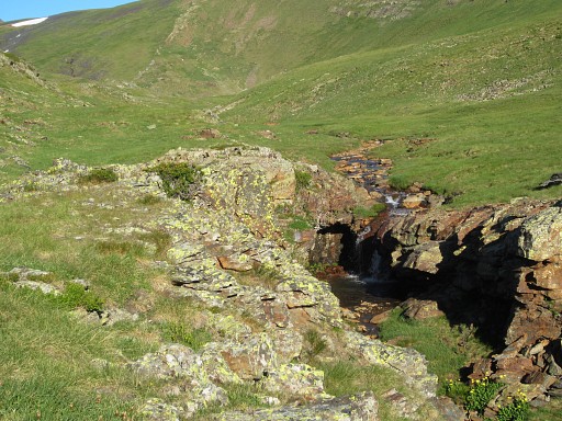 |
So I returned and where the stream enters a sort of canyon, I went S and crossed a hill-ridge. This is option 1. |
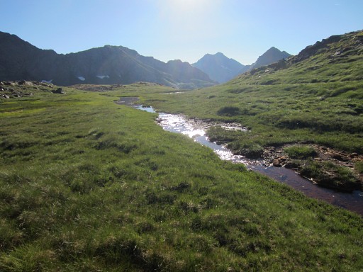 |
On the other side of the hillridge there's another stream: this one. Along this stream, I walk E towards the ruines. |
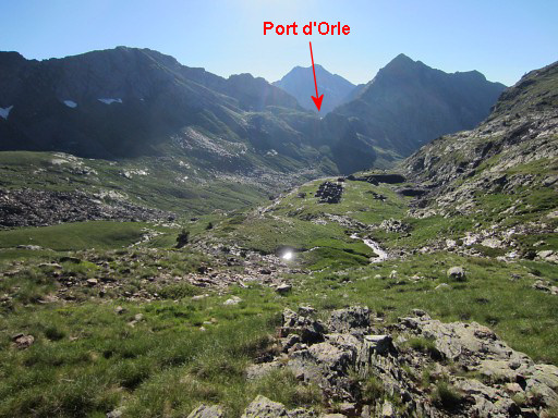 |
Now the ruines come in sight and also Port d'Orle is well visible. |
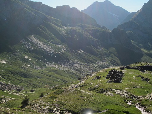 |
Zoom-in of the previous picture |
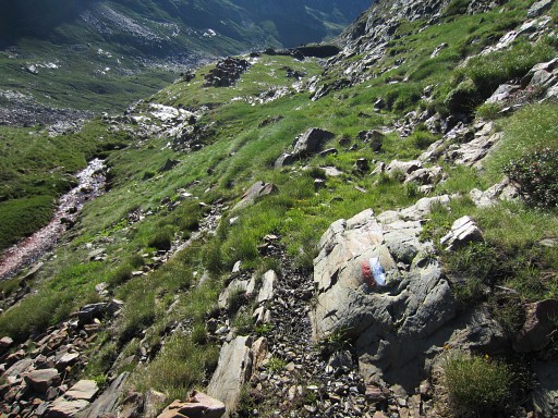 |
It takes some descending to get to the ruines. Some red/white waymarks have appeared. |
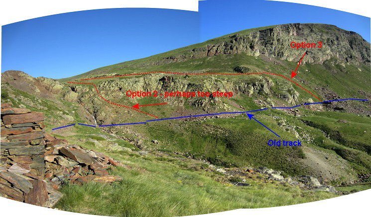 I have arrived at the ruines and this panorama is taken from them. It shows the two other access routes to the old railway-track. If you have no interest in industrial archeology, I would advise option 3. |
|
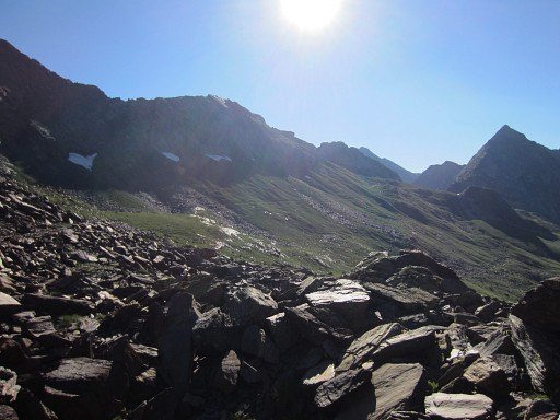 |
Now I'm on the old & derelict railway-track
|
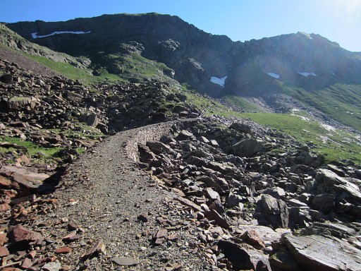 |
which is well recognizable on this picture. |
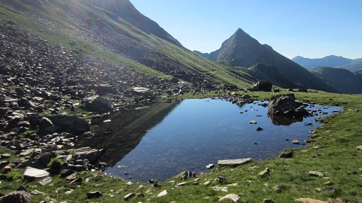 |
Port d'Orle is getting closer |
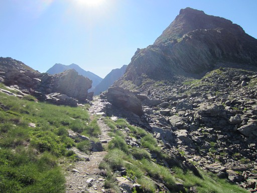 |
and closer. You can already spot a large cairn |
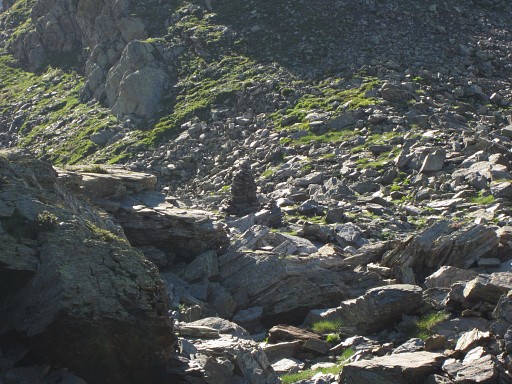 |
on the Port itself. |
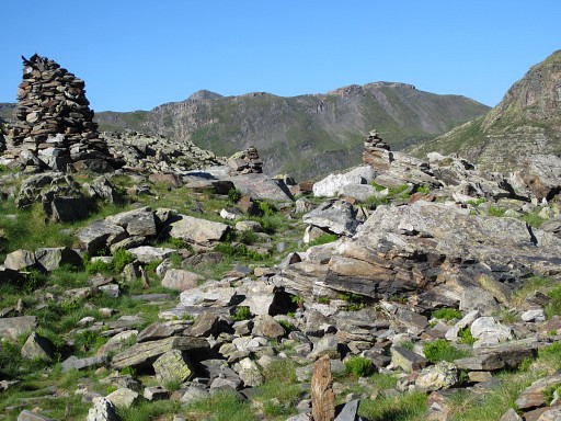 |
That cairn is close to |
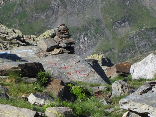 |
bm420 |
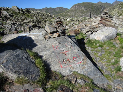 |
So bm420 can't be missed with so much cairns around it. |
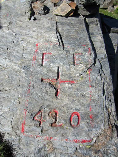 |
Bm420
|
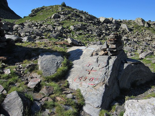 |
Bm420 |
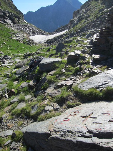 |
Bm420, looking E (towards France) |
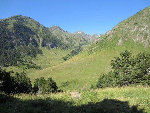 |
From Port d’Orle, a red/white trail
(though not abundantly waymarked) takes you down the valley and brings
me in 2½h to the nice pilgrimage-hamlet of Montgarri. |
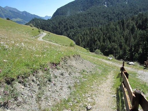 |
I arrive at a dirtroad |
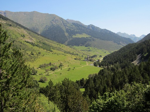 |
which brings me nicely to Montgarri with his church. |
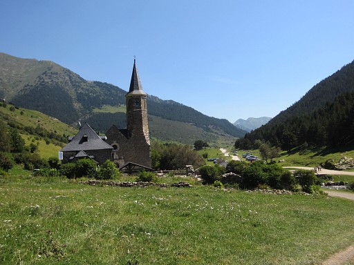 |
In Montarri I take a break with a bocadillo de queso and a coffee. And take my chance to make a cellphone-call to my 'copine'. |
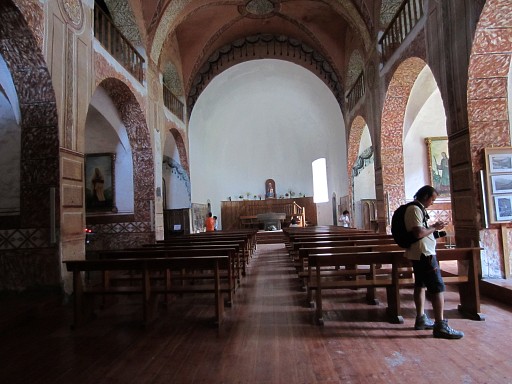 |
And finish my break by visiting the church. |
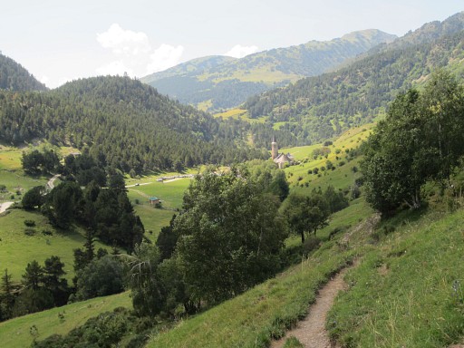 |
Then - it’s still hot - on the GRT-trail (Grande Randonnée Transfrontalière) which is well waymarked in 3½h to bm420bis. This picture: looking back at Montgarri. |
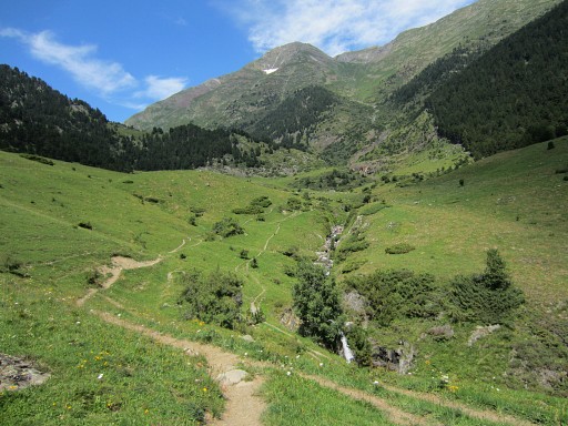 |
Further on the trail passes a stream and bends back |
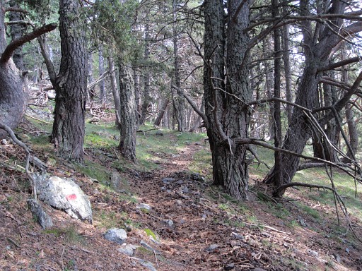 |
and climbs into a forest. |
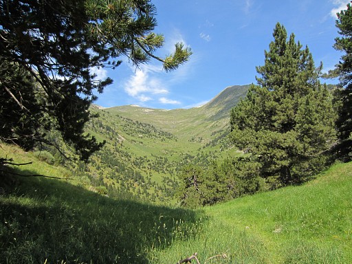 |
Then, the forest is left behind and I see the ascent yet to do before me. Climbing is still tiring but deliberately slow walking helps. |
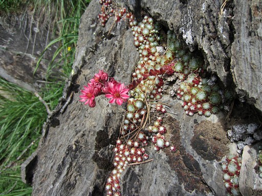 |
A bit of nature |
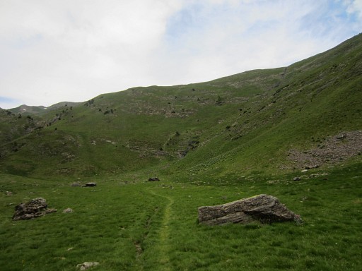 |
NB: at the foot of the final climb, there’s a grassy plain, fit for a bivouac. |
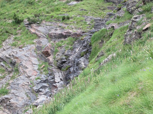 |
There is a tiny stream/cascade at the hillside. |
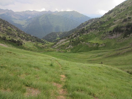 |
Looking back, enough space for a bivouac. |
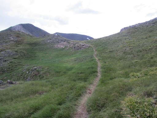 |
This picture: approaching the ridge of the bassin of the "Renadge d’en Haut". This col is called "Port de la Girette". |
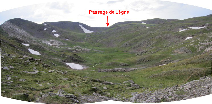 When arriving at the edge of the ‘bowl’ of the Renadge d’en Haut, you can see the pass of the Passage de Lègne at the far end. I expected to be able to see the contour of bm420bis but no. By the way: the red/white route through the ‘bowl’ is a bit confusing. At one point, there were two of them. |
|
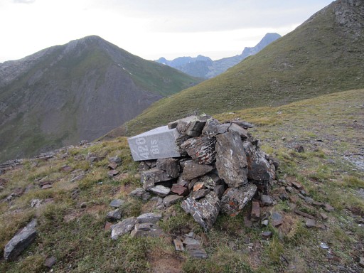 |
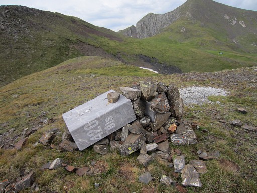
At the col of Passage de Lègne, you have to climb 50m uphill to the W to reach bm420bis. When I arrive at bm420bis, I see why I couldn't see its contour from far: it has been broken in two, with brute force. |
 |
Bm420bis |
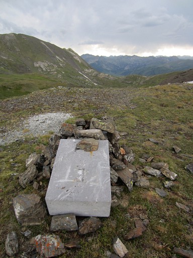 |
Bm420bis |
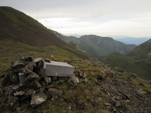 |
Bm420bis |
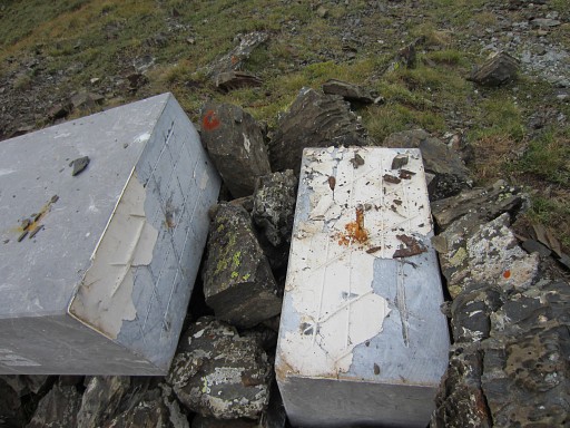 |
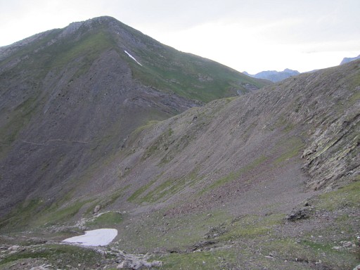
Bm420bis. You can see that this pillar was made of two pieces, 'glued' together. |
 |
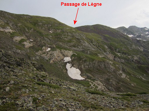
This picture: from Passage de Lègne looking NE to Port de Barlonguère. The red/white waymarks will take me there. |
 |
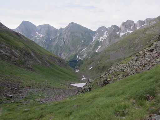
On my way to Port de Barlonguère, looking back to the Passage de Lègne. |
 |
And then descending E to Étang Long |
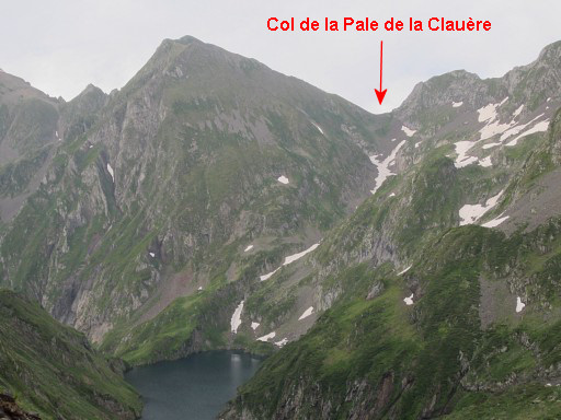 |
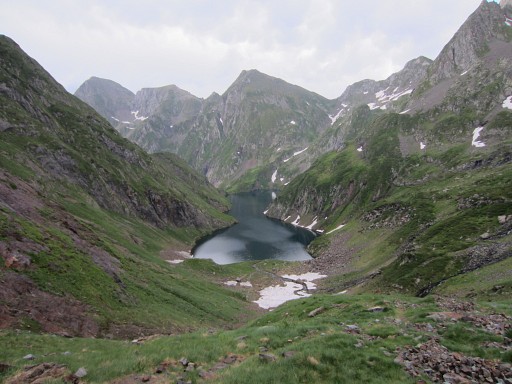
I can already see the valley up to Col
de la Pale de la Clauère - my goal for tomorrow morning - partly
filled with …. snow. That could be a problem tomorrow, it worries me. There’s still a lot of snow left in the Pyrenees due to the enormous snowfall of last winter. |
 |
Approaching the lake |
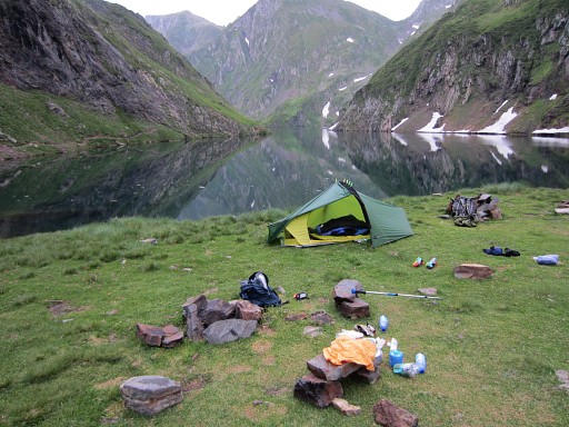 |
where a perfect bivouac-spot waits for
me at the edge of it. Despite the long day, I feel fit in the evening. I’ve recovered from the exhausting day of yesterday,. |
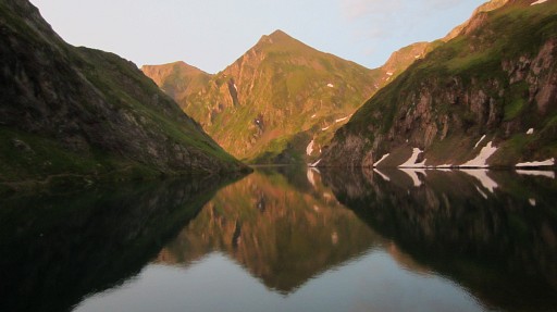 |
Sunset. |
 previous
trip next
trip previous
trip next
trip 
|
|
