|
The
bordermarkers of the Pyrenees : all my trips
 |
|
| - wednesday 21 august
2013 - Exhausted |
 |
 |
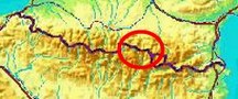
esfr-trip-track-20120821.kml (click to open this trip in Google Earth or copy link to Google Maps; click right on this link to download gpx-version) Summary: part of a 12-days trip to the Pyrenees with a lot of targets from the Ariège mountains to the Basque country Day 1: first day of a 6-days hike following the Ariège borderridge from bm418 to bm425, today starting at Eylie, climbing to Port de la Hourquette and then proceeding to the east. Weather: full sun all day, very hot |
 |
For
explanation of
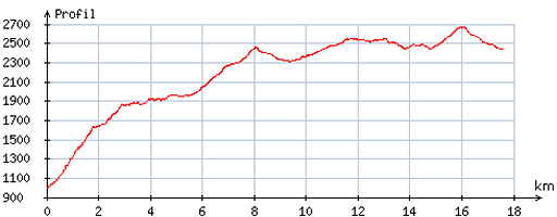
the gps-coordinates and other cartographic backgrounds: cartography-page Start:7.30, no break; , finish: 17.30, net walking time: 10h According to the gps-tripteller: Distance: 19,7 km Total ascent: 1889m Maximum height: 2681m |
 |
According
to visugpx - distance : 18,0 km - cum. elevation gain : 2020m - cum. elevation loss : 571m - total elevation: 2591m - altitude maxi : 2674m - altitude mini : 996m - altitude average : 2212m |
 |
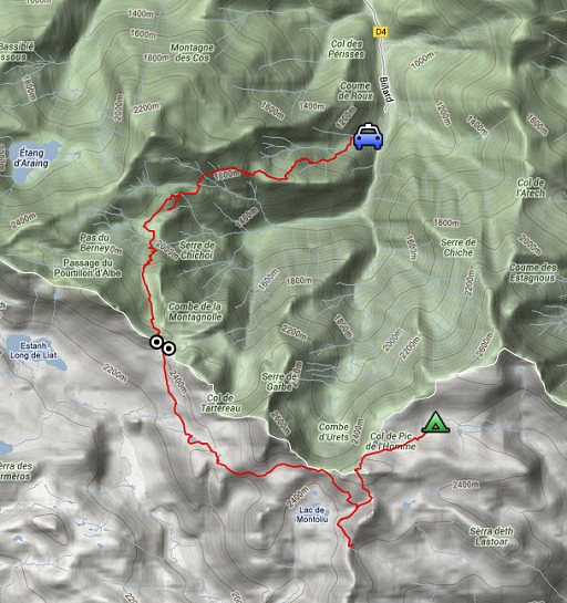
The previous day I drove from northern France to Saint-Girons. Charles and Josette Darrieu - where I spent the night - where so kind to drop me ± 7.30 in Eylie. Then it’s a long, long and often steep climb to Port de Hourquette (± 1500m, ± 4½h). |
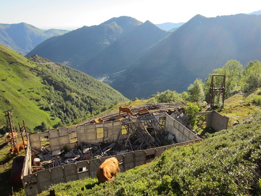 |
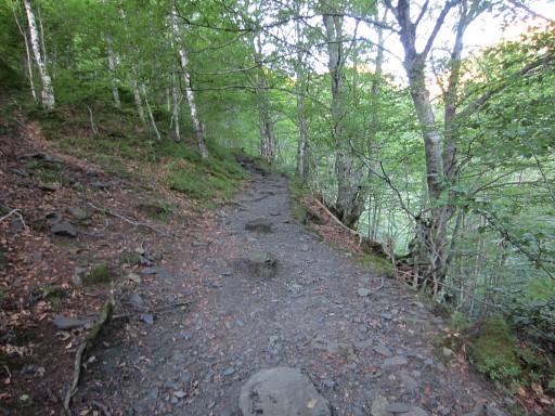
Following the GR10-trail, I pass old derelict mining-buildings like these and |
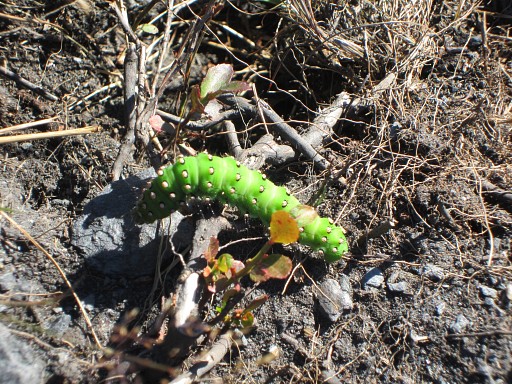 |
and keep an eye on the small wonders of nature. |
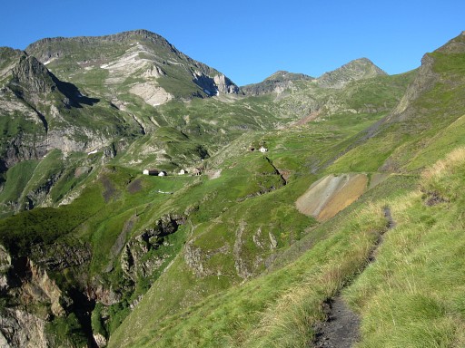 |
The GR10 brings me to a sort of hamlet, seen here in the distance. |
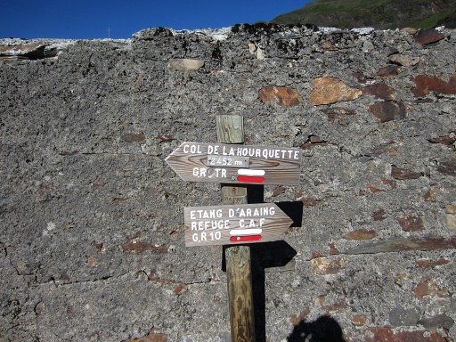 |
Shortly after the hamlet there’s a bifurcation. The trail to Port de Hourquette - a GR Transfrontalière and also red/white waymarked - is going left. This GR Transfrontalière is part of a crossborder network of GR's, described in the topoguide “Par-delà les frontières d’Ariège-Pyrénées vers l’Andorre et la Catalogne” |
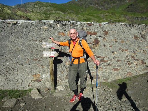 |
I still look a bit bleak, within two days I'll be lot more sun-tanned. |
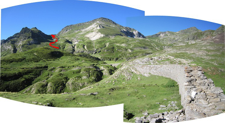 The trail passes over this wall. In the distance, the access to Port de Hourquette is already visible. |
|
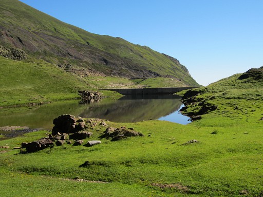 |
But first I arrive at this small lake (nice bivouac-spot) and then the actual ascent starts. |
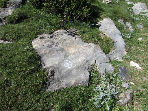 |
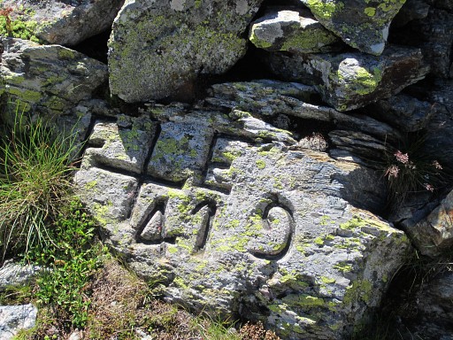
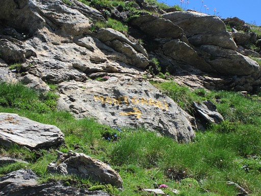
I stumble upon this curious engraving |
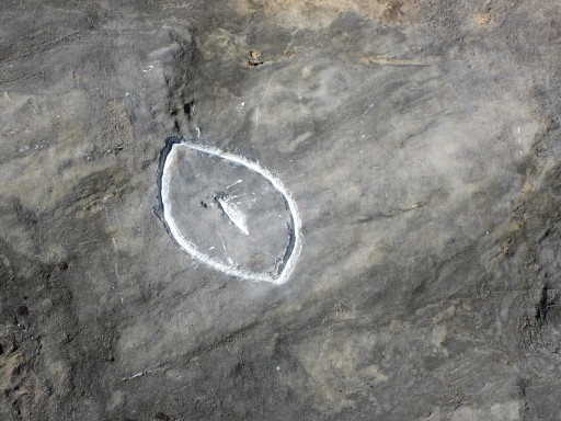 |
Who knows its meaning? On day 4 I will see an identical engraving. |
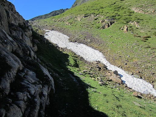 |
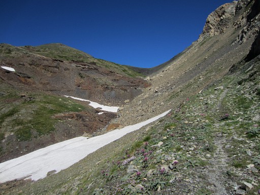
There's still some snow left here and there. |
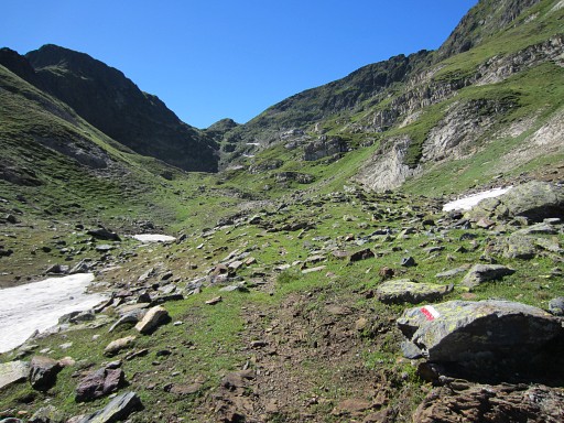 |
The Port de Hourquette comes in sight in the far distance. |
 |
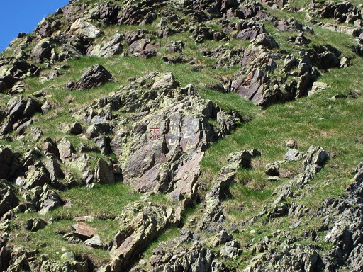
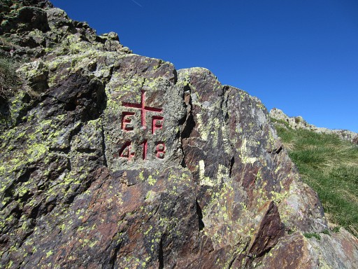
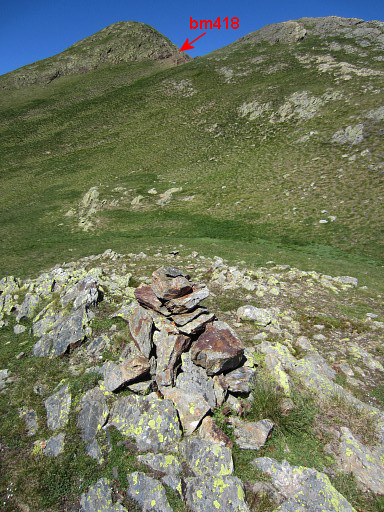
At Port de Hourquette, bm418 is well visible high on the W-side of the pass. This picture: looking in that direction. |
 |
Bm418 |
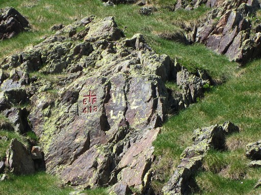 |
Bm418 |
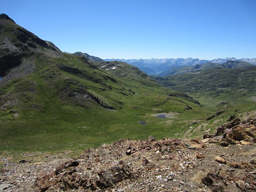 |
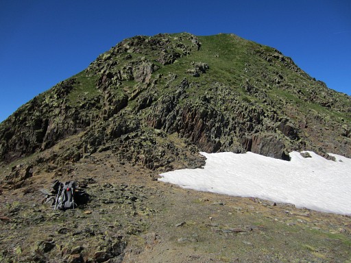
A view to the S from the Port. I'm curious where to proceed after doing bm418 & 419 |
 |
And that's where you see a sort of rift or gorge in the terrrain, extending to the SE |
 |
Bm418 |
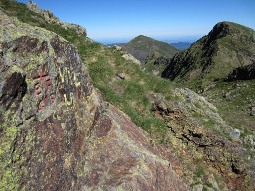 |
Bm418m looking N |
 |
Bm418, looking S |
 |
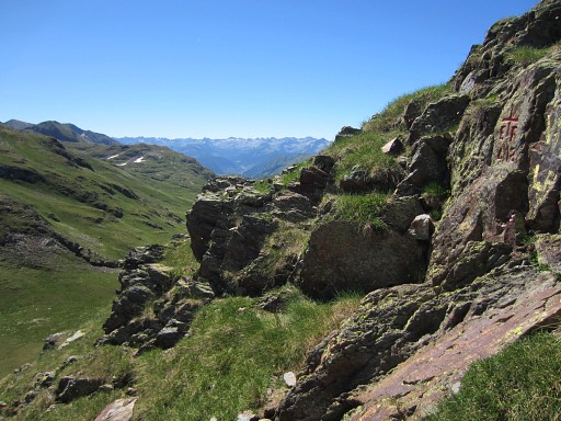
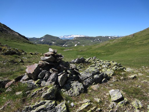
Bm419 is not far away, ± 200m to the SE on a small mound on a sort of pass. |
 |
Zoom-in of the previous picture. |
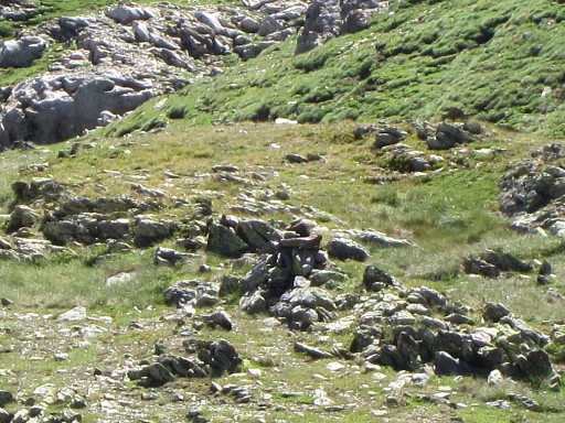 |
And on this extra zoom-in, you can see the cairn above bm419 |
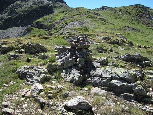 |
Bm419 |
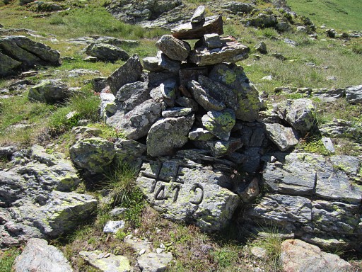 |
Bm419 |
 |
Bm419 |
 |
Bm419 |
 |
The backside of bm419, looking NW to Port de Hourquette. |
 |
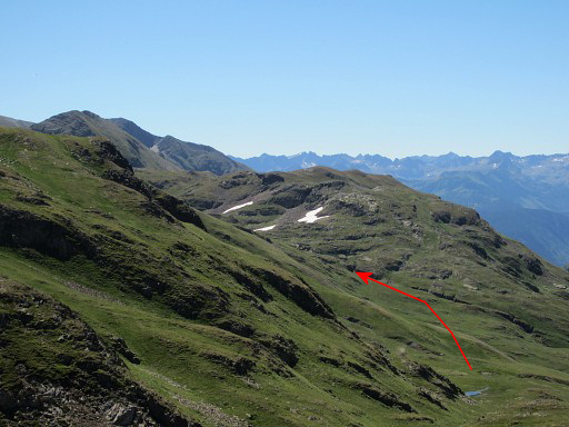
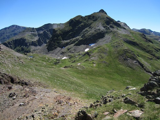
From bm419 onwards, it’s a bit wayfinding. But - as said before - from the Port you could already spot to the S a sort of rift or gorge, stretching SE. That’s my direction. |
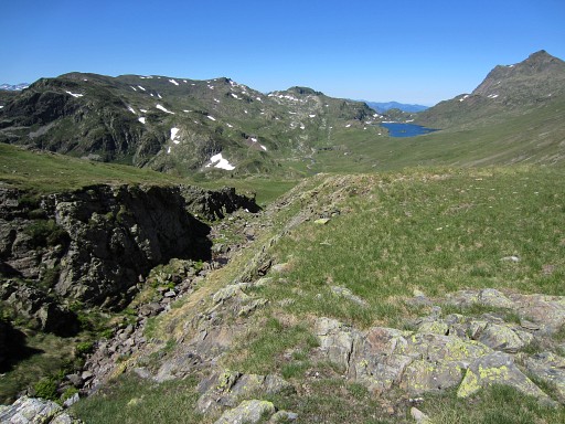 |
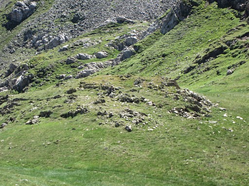
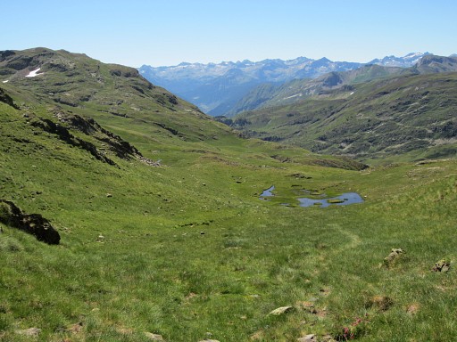
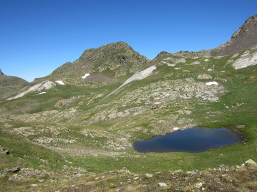
I’ve reached that ridge and while looking back I can see the lake of Estanh Long de Liat in the far distance. I climb SE along the rift and pass along three successive small lakes. |
 |
Apparently, this is the first one. There's no trail but later I will discover that there is a waymarked trail ± 50m N of this lake. I will pick it up after the third lake. |
 |
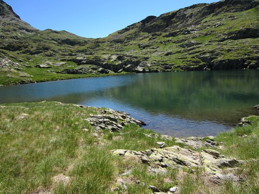
And this the second lake, a bit smaller. |
 |
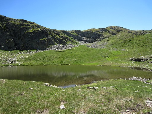
After the third lake, suddenly a decent red/white-waymarked trail appears that will take me further. |
 |
That trail - so I will learn much later on Google Earth and Topo
Pirineos - could have been picked up much earlier. It passes ± 50m above the first lake and then - after a curve - bends back to the third lake where I found it. This picture: looking back at the third lake. |
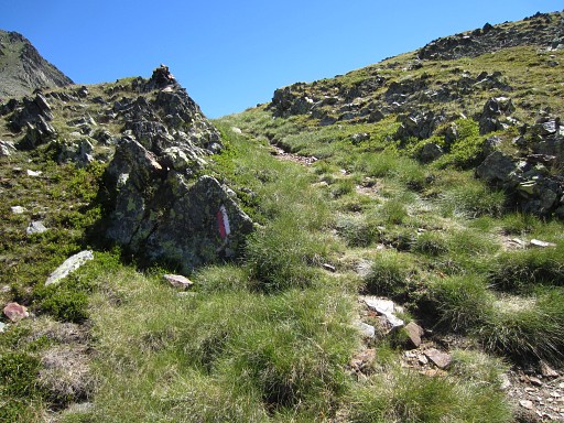 |
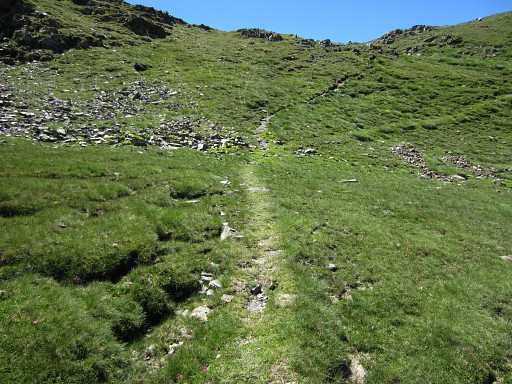
I just follow the red/white trail which is on none of my maps. |
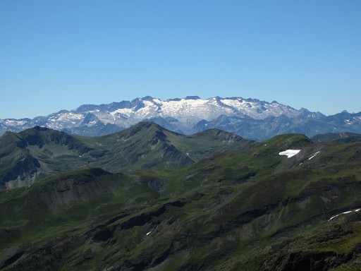 |
In the far distance to the SW, I can spot the Pic d'Aneto (I think) |
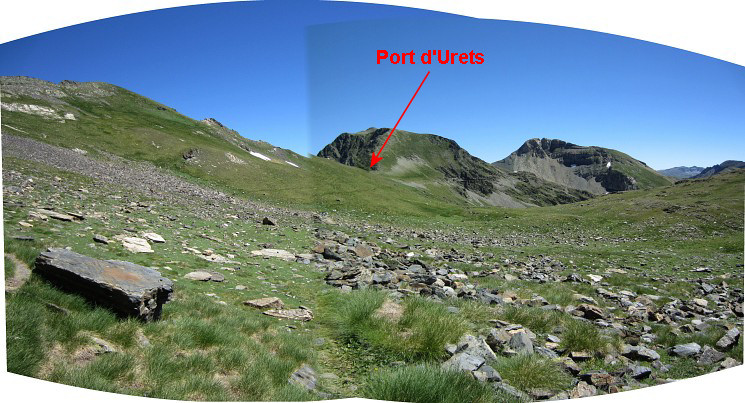 The red/white trail brings me - to my surprise - to Port d’Urets |
|
 |
This is a zoom-in of the previous pictures. The red route is the route I will follow. But I should have taken the blue one which is lot shorter. See further on. |
 |
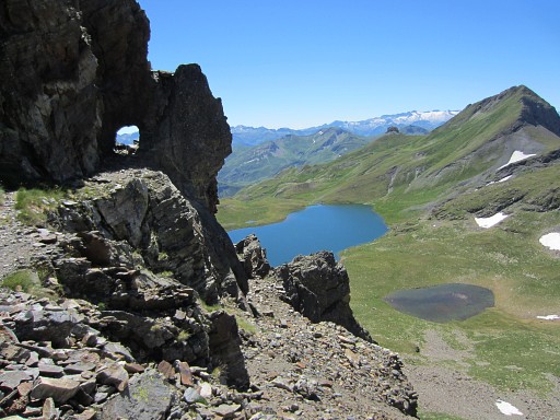
I keep high above the Lac de Montollu. |
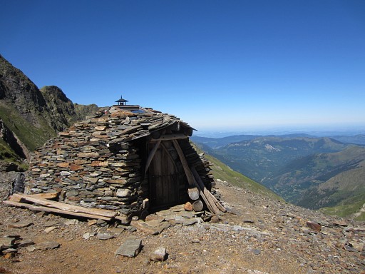 |
On Port d'Urets there's this nice cabin (but you have to bring water). |
 |
Then further along a derelict mining railroadtrack, including this small tunnel. |
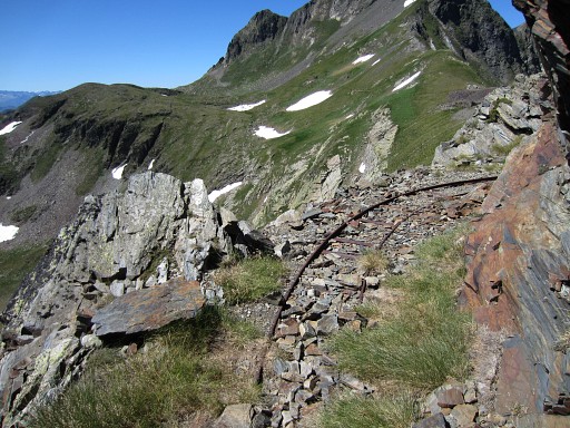 |
and here and there remnants of the railway-track |
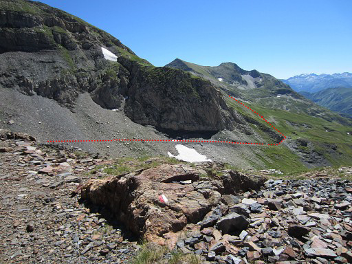 |
Waymarking is not perfect but is still red/white. The trail take me to the E-side of the lake where I will climb a sort of pass (red dotted line). There I will discover I'm wrong. |
 |
At the E-side of the lake, looking back with Port d'Urets very visible |
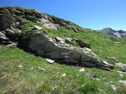 |
Now I see that I've been on the GR211-trail which is apparently a circular route from Vielha. See this webpage |
 |
I try a yellow route to Montgarri. |
 |
which take me to a sort of pass but that is definitely not the Colhade Nera and that was my goal. I study my maps and realize I'm wrong and have to return. |
 |
Back to the NE-corner of the lake. That's wher I have to climb towards the pass of Colhade Nera |
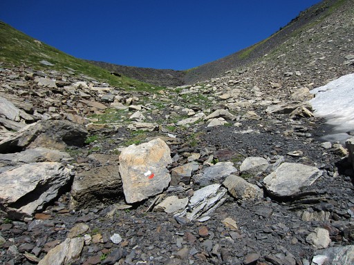 |
on a trail which is also red/white waymarked. |
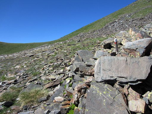 |
This
trail brings you almost to the pass itself but then climbs NW to
another col (2695m). It takes me a lot of effort to climb that last
climb, panting heavily after every 10 or so steps. It seems afterwards easier to descend from the Colhade Nera to the lake at the other side (Estany Nere d'et Forcall, giving the opportunity to get fresh water and to bivouac) and then make a S-shaped curve to the N, climbing to and descending from the hillridge N of the lake. But there's even a better solution, starting from Port d'Urets. See further on. |
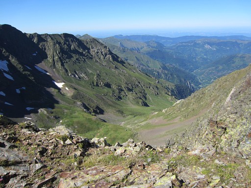 |
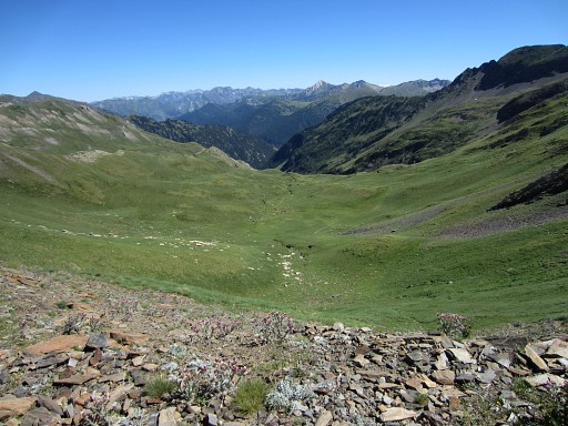
This picture: I have reached the
borderridge and look N into the valley. About 75m to the NEE, is the
2695m-col which gives access to the next vally. |
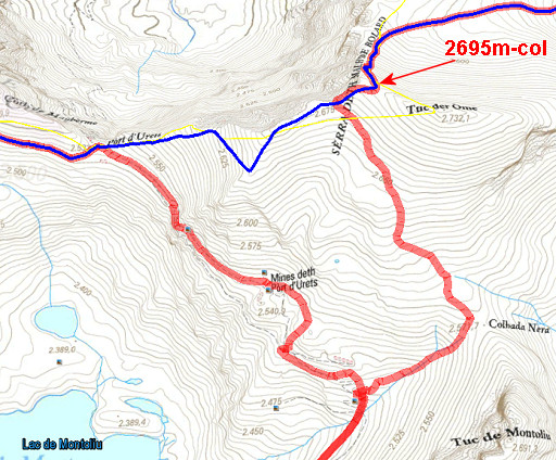 |
But - much later - I will learn that there’s a perfect shortcut between
Port d’Urets and that 2695m-col. It’s described in the topoguide “Par-delà les frontières d’Ariège-Pyrénées vers l’Andorre et la Catalogne” and it’s partly visible on Google Earth and on Topo Pirineos. From Port d’Urets, a trail climbs E up the ridge. After 150m elevation and ± ½h of walking, you’ll reach the 2695m-col. On this map: - blue = shortcut - red = my route today |
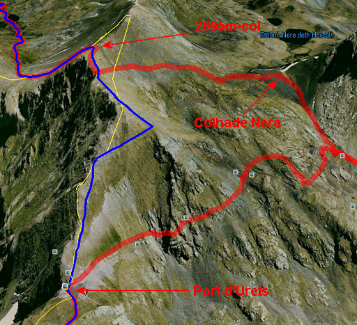 |
And the same shortcut seen on Google Earth, looking E. |
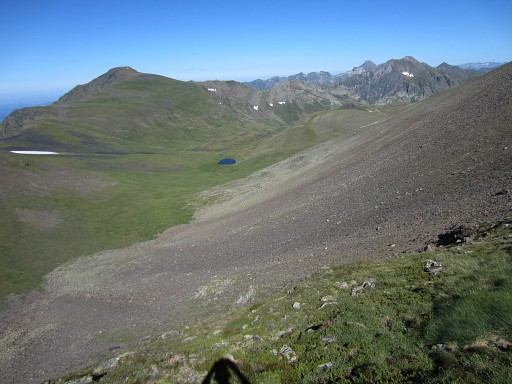 |
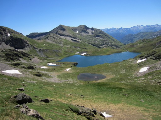
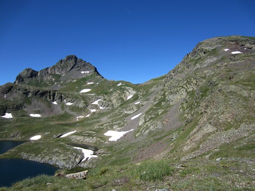
From the 2695m-col, a valley unfolds to the NE with a small lake well visible. |
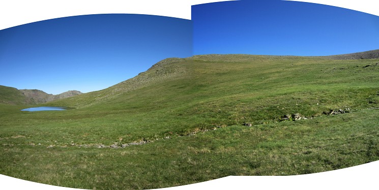 I descend into the valley towards the lake. By the way: nice bivouac-opportunities around the lake. This panorama-picture: to the right we see the hill-ridge which gives acces to the valley with the lake of Estany Nere d'et Forcall |
|
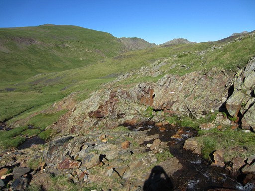 |
From the lake, I follow the stream which springs from it. Now and then there are red/white waymarks. But navigating is easy: just follow the river. |
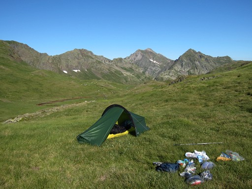 |
I pitch my tent further on, more or less exhausted. At 20.30 I’m fast asleep. |