|
The
bordermarkers of the Pyrenees : all my trips
|
|
| - sunday 25 august
2013 - The sun is back  previous
trip next
trip previous
trip next
trip 
|
 |
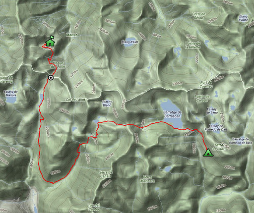 |
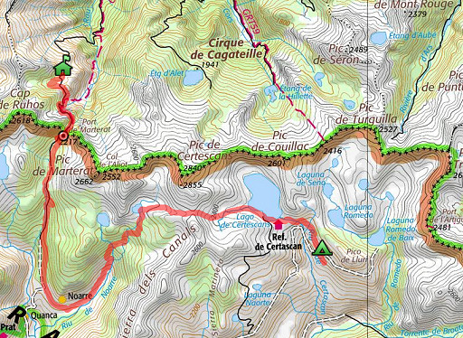
esfr-trip-track-20120825.kml (click to open this trip in Google Earth or copy link to Google Maps; click right on this link to download gpx-version) Summary: part of a 12-days trip to the Pyrenees with a lot of targets from the Ariège mountains to the Basque country Day 5: fifth day of a 6-days hike following the Ariège-borderridge from bm418 to 425, today from cabane de Crusous crossing the Port de Marterat and continuing - via the hamlet of Noarre - to a bit beyond the Refugio de Certascan Weather: still foggy in France, as soon as I enter Spain: brilliant weather |
 |
For
explanation of
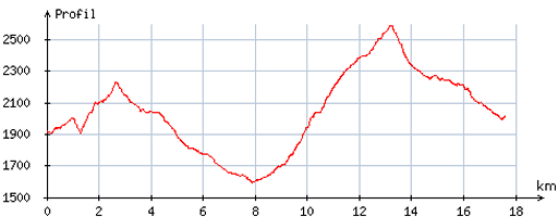
the gps-coordinates and other cartographic backgrounds: cartography-page Start:8.30, break: 1/2h, finish: 18.15, net walking time: 9.15h According to the gps-tripteller: Distance: 19,8 km Total ascent: 1451m Maximum height: 2581m |
 |
According
to visugpx - distance : 18,0 km - cum. elevation gain : 1452m - cum. elevation loss : 1364m - total elevation: 2816m - altitude maxi : 2592m - altitude mini : 1594m - altitude average : 2057m |
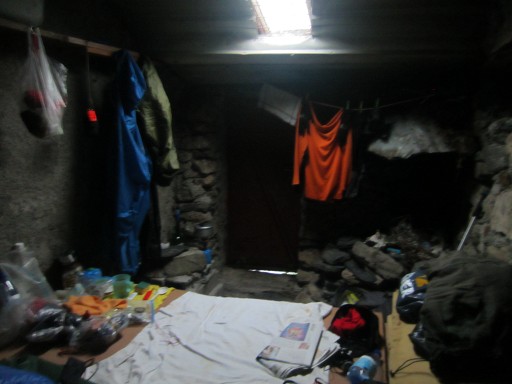 |
I had a good night's sleep in Cabane de Crusous. |
 |
From
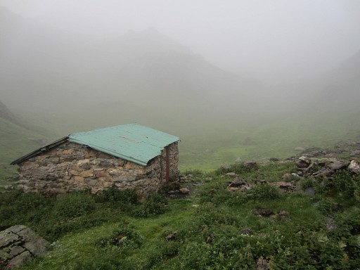
the cabane de Crusous - it’s still foggy - it takes a while to find the
yellow waymarked trail which leads to the path that climbs to Port de
Marterat. This picture: taken from behind the cabin and looking to where I have to go. |
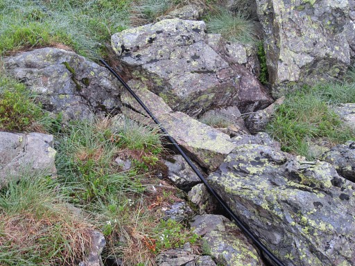 |
There are two hints to get out of this valley and proceed to Port de Marterat. 1. follow the black water hose which extends from the cabane for hundreds of meters to the SWW until it crosses the yellow trail |
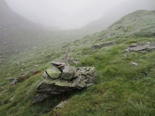 |
2.
the yellow trail climbs from the valley to a sort of pass before
descending to the path which climbs to Port de Marterat. That pass
should be well recognizable as such from the valley (but now obscured
by the fog). |
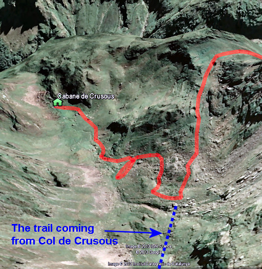 |
So let's project my route on Google Earth (in red). |
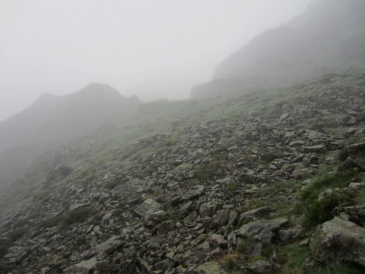 |
Getting closer to the pass |
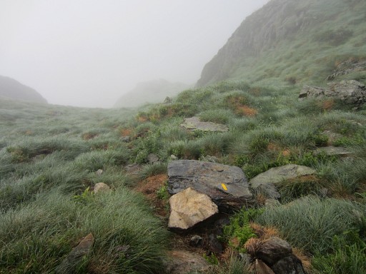 |
Note the yellow waymark, I'm already descending |
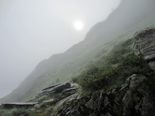 |
to the red/white waymarked trail to Port de Marterat, wayfinding is easy. Later on - when I get around a last ridge - the sun appears through the fog. |
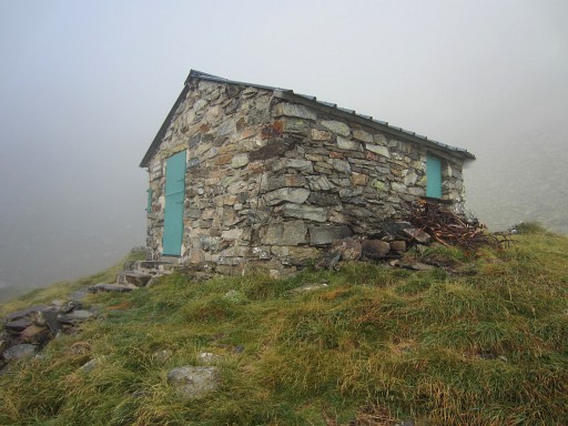 |
Shortly before the Port, there’s a
comfortable cabane. The water - however - has to be taken from a source
10 minutes in the direction where I came from. So - if you plan to
sleep in the cabane - collect your water earlier along the trail. |
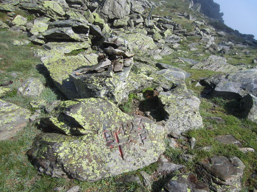 |
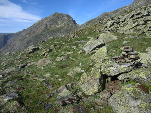
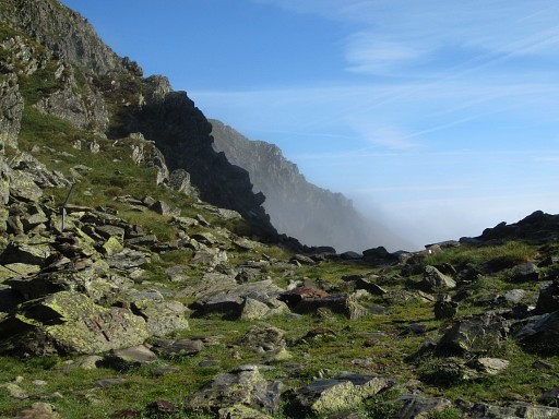
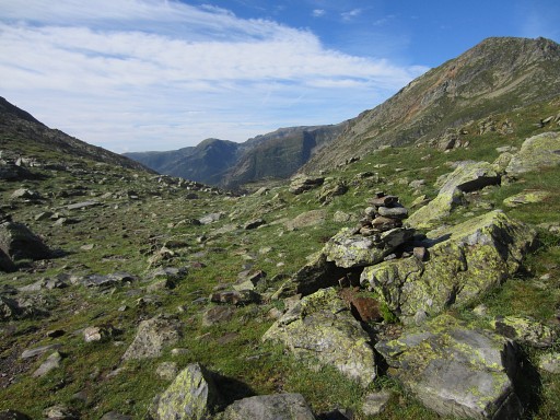
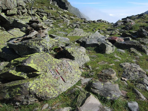
At the Port de Marterat, the fog disappears and the rest of the day I enjoy full sunshine. Bm423 |
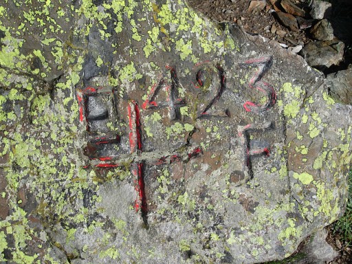 |
Bm423 |
 |
Bm423 |
 |
Bm423 |
 |
Bm423 |
 |
Bm423 |
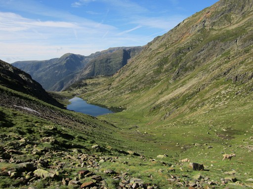 |
Then descending to Noarre in ± 2h |
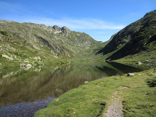 |
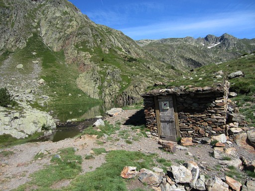
along this lake |
 |
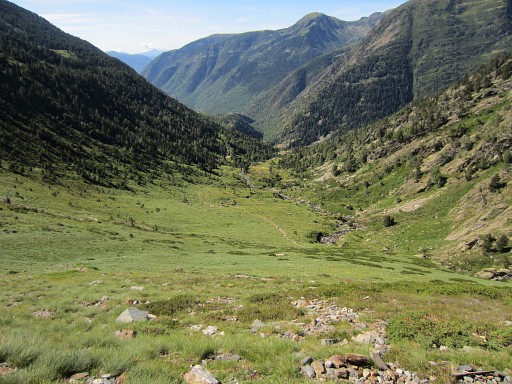
and this basic cabin |
 |
And so I descend into the valley and
|
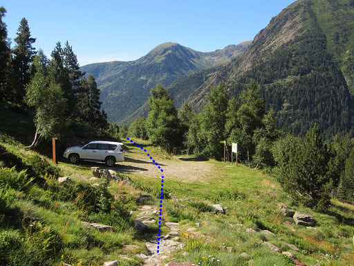 |
finally I reach this parking. Then straight on (on the grassy dirtroad) |
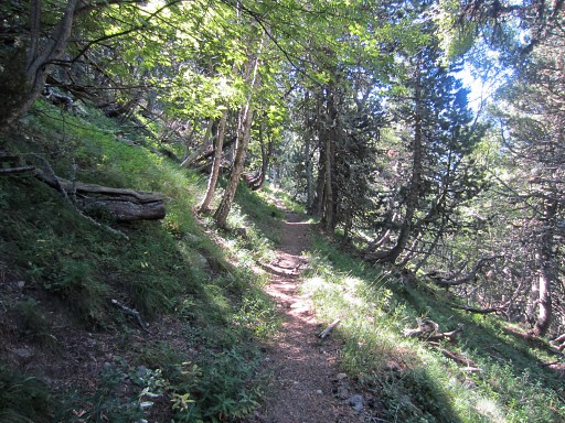 |
which becomes a trail through the forest. |
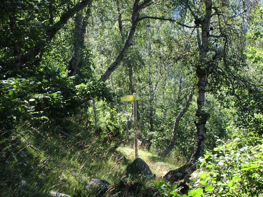 |
and reaches a dirtroad with this signpost. I go left. |
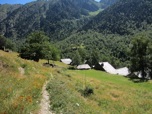 |
and end up in Noarre. A short lunchbreak |
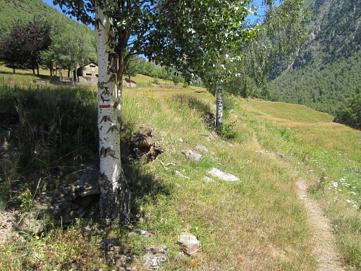 |
and then going on towards Col de Certascan. I will climb to Coll de Certascan in ± 3h. The trail is red/white waymarked (later also green) and is generally well to follow. |
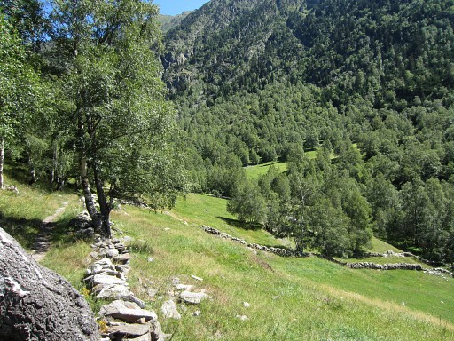 |
Near Noarre - along the river - there are lots of bivouac-spots. |
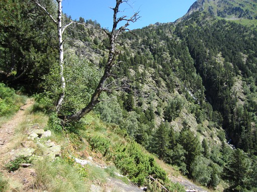 |
The trail climbs and climbs and |
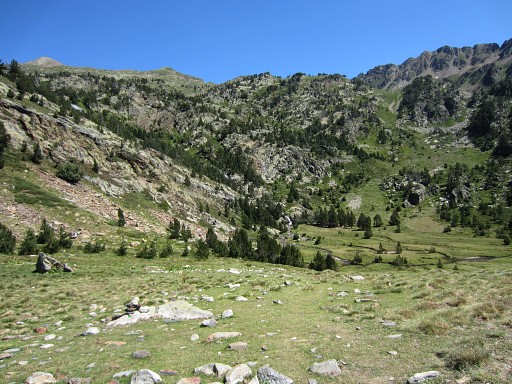 |
passes various lakes and flat areas which offer more bivouac opportunities. |
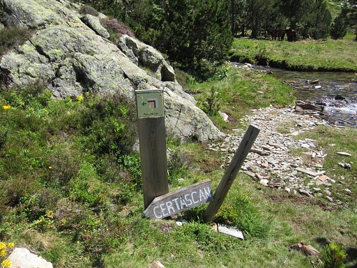 |
The waymarking is well. |
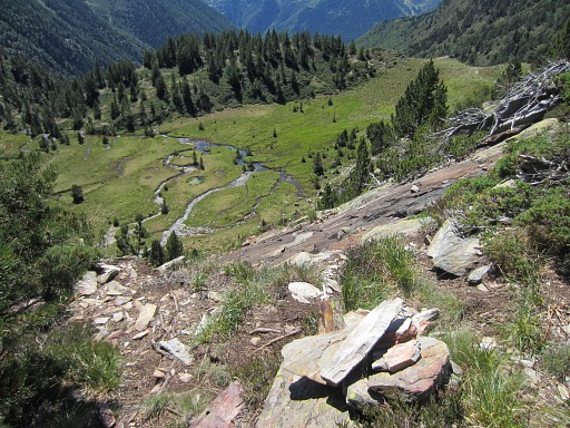 |
There's one rocky hillside to tackle but that offers no real challenge. |
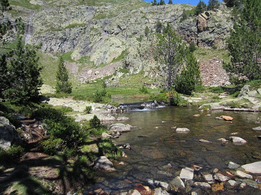 |
And so I go on along nice lakes. This one is the lake of "Aiguamolls de Guerossos" Much later - after these trips - I discover on Google Earth a possible shortcut between Port de Marterat and this lake via the lake of Estany de Flamisella. |
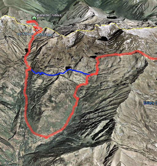 |
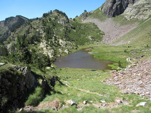
Let's show it on Google Earth. This shortcut is based on trails which I can see on GE but could be well cattle trails. The shortcut (blue line) is 2,5 km long, climbs 350m and descends 141m which would give a theoretical walking time (Naismith's rule) of 1.20h (!) It seems quite posssible and is much shorter than my route via Noarre of today. Who is going to try this shortcut? Check it yourself on Google Earth: shortcut.kml |
 |
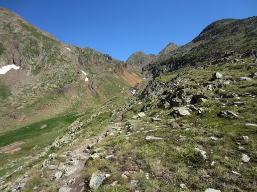
I get higher and higher, |
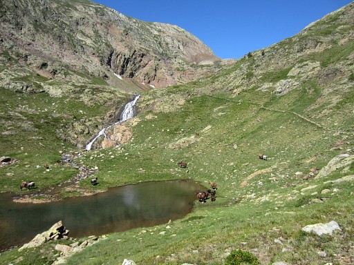 |
via various lakes on increasing levels, |
 |
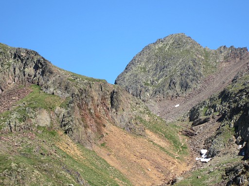
and then the Col du Certascan comes finally in sight |
 |
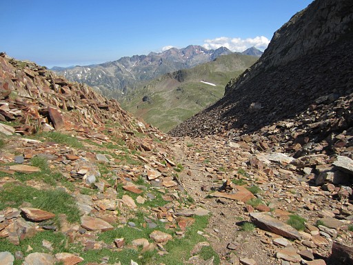
and gets closer. |
 |
Now I'm on the Col itself. |
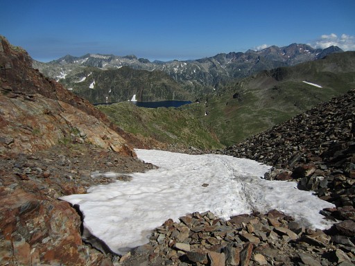 |
Descending from the Coll de Certascan is not so easy and also later the rocky path makes quick progression not possible. This picture: the lake of Certascan in the far distance |
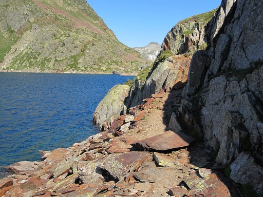 |
After the descent and traversing a grassy plain, the red/white trail passes the lake |
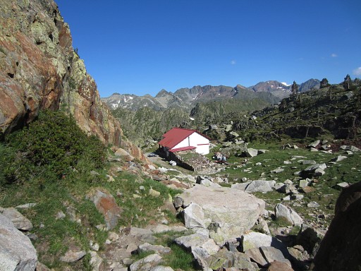 |
and passes the Refuge de Certascan |
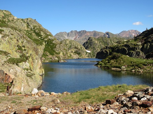 |
and then passes along a smaller lake. |
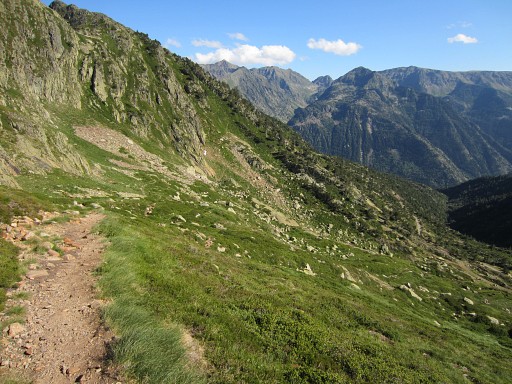 |
And then the trail descends |
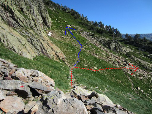 |
And here I took a wrong direction: a red/white trail (the red line) going S instead of a
zigzag-branch climbing E: that's the blue line Quite stupid. |
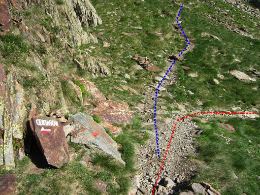 |
That bifurcation in more detail. |
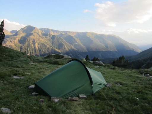 |
When I discover my misstake - ± 750m from the bifurcation - I stop and pitch my tent. It’s getting late. |
 previous
trip next
trip previous
trip next
trip 
|
|
