|
The
bordermarkers of the Pyrenees : all my trips
|
|
| - monday 26 august
2013 - An endless descent  previous
trip next
trip previous
trip next
trip 
|
 |
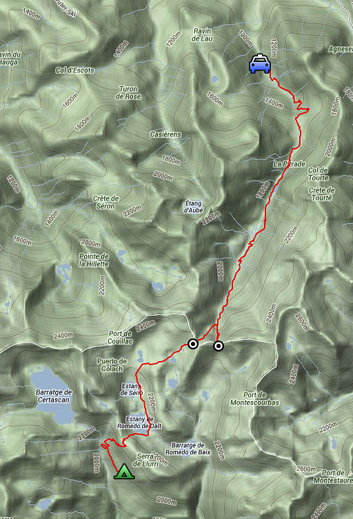 |
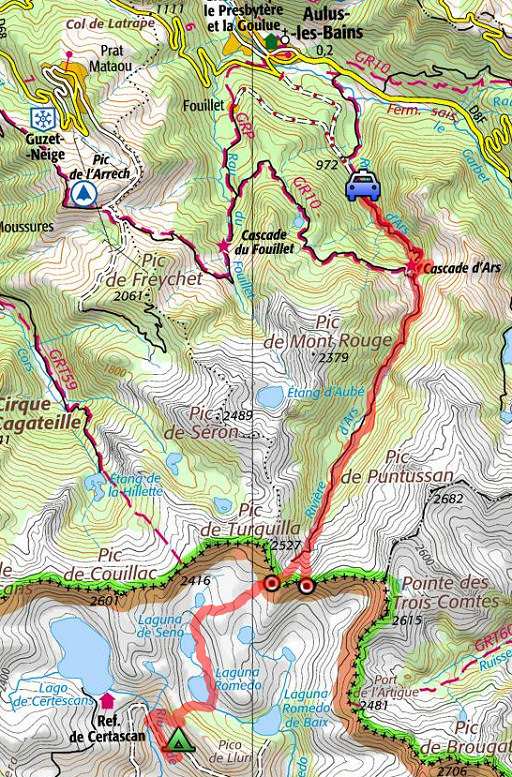
esfr-trip-track-20120826.kml (click to open this trip in Google Earth or copy link to Google Maps; click right on this link to download gpx-version) Summary: part of a 12-days trip to the Pyrenees with a lot of targets from the Ariège mountains to the Basque country Day 6: sixth day of a 6-days hike following the Ariège-borderridge from bm418 to 425, today visiting bm424 and 425 and then a very long and difficult descent towards Aulus-les-Bains Weather: sunny in Spain, drizzle & fog in France |
 |
For
explanation of
the gps-coordinates and other cartographic backgrounds: cartography-page Start: 8.00, no break, finish: 19.15 , net walking time: 11.15h According to the gps-tripteller: Distance: ?km Total ascent: ?m Maximum height: 2358m |
 |
According
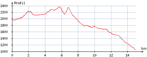
to visugpx According to visugpx - distance : 15,5 km - cum. elevation gain : 791m - cum. elevation loss : 1740m - total elevation: 2531m - altitude maxi : 2367m - altitude mini : 1059m - altitude average : 2016 m |
 |
From my bivouac-spot, I walk back - partly on the dirtroad - to where I went wrong yesterday. That point is easy to find. A bit beyond the sign - pointing to Refugio de Certascan - (in the other direction) |
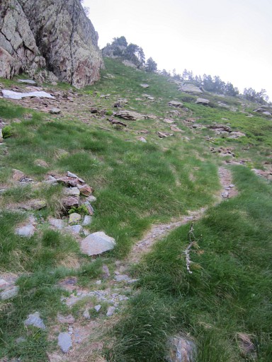 |
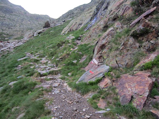
the trail has a branch to the left (also red/white
waymarked). See also yesterday. This picture: the beginning of the branch which |
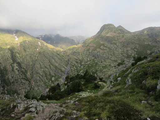 |
climbs in lacelets to a pass. From that pass, this view NWW |
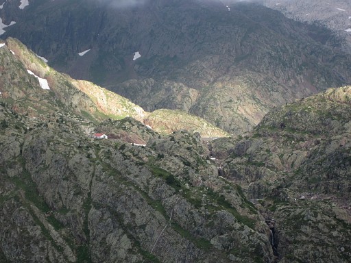 |
towards the Refuge de Certascan. |
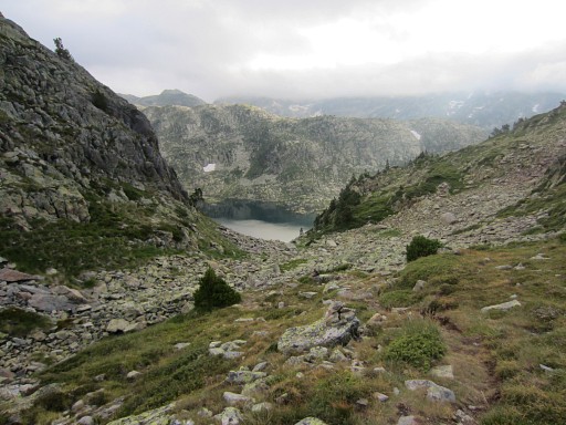 |
Then descending to the lake of Estany de Romedo de Dalt. |
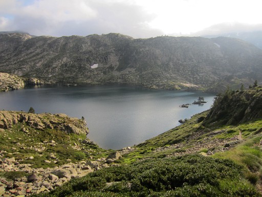 |
I will - later - go past the other side of this lake but |
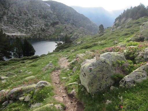 |
first to its SE-corner. |
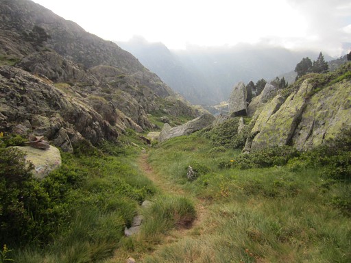 |
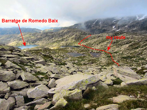
At that corner, you can see NEE in the far distance the lake of Barratge de Romedo de Baix |
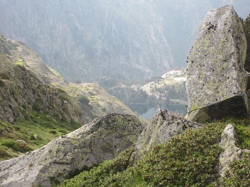 |
Zoom-in of the previous picture. |
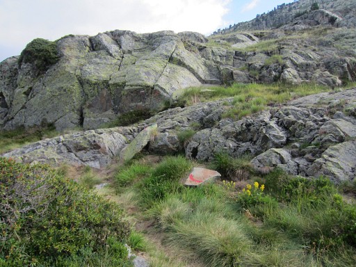 |
At the SE-corner of the lake is a
bifurcation of the trail - straight on = the descent to the lake of Barratge de Romedo de Baix - to the left is my route towards bm424: it's a continuation of the red/white trail and together with green and red waymarks, they are sufficient to lead me from the first lake to the third. |
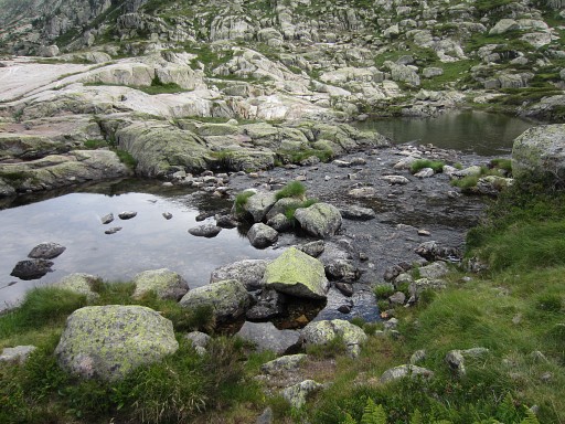 |
There are some bivouac-possibilities along this lake and the two next ones. |
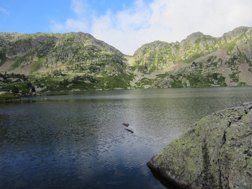 |
This is still the first lake, now looking back SW to |
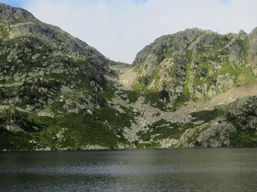 |
the pass which I have crossed earlier. |
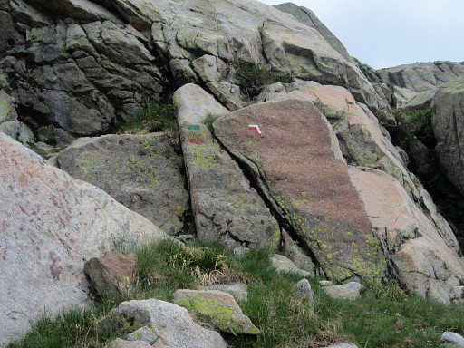 |
As you can see, there are enough waymarks to lead you along the three successive lakes. |
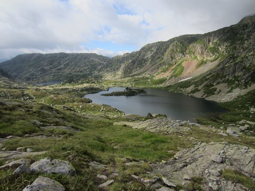 |
Now I have passed the second lake and look back. |
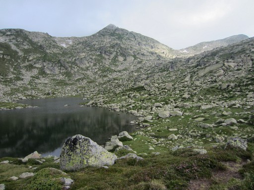 |
At the third lake, the red/white trail
climbs first up a valley to the E and then bends away N to cross the
border at an unnamed pass. |
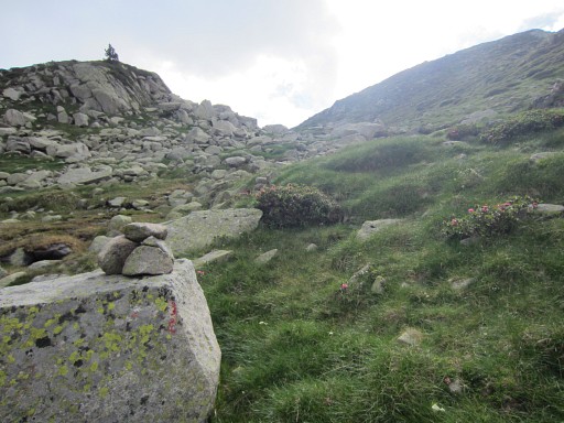 |
At this point - where the trail bends
N (= to the left at this picture) - I leave the trail and keep heading
E (=straight ahead on this picture) |
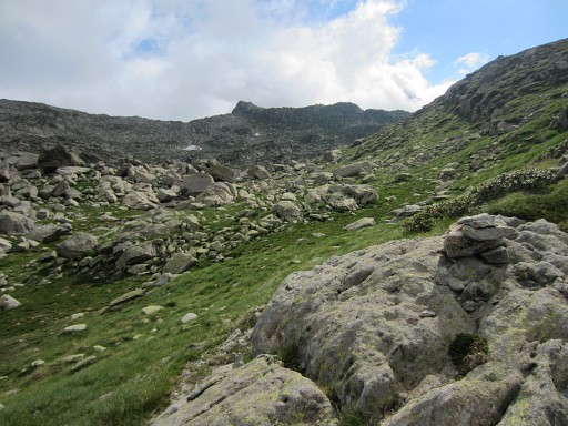 |
and climb in ± 200m to a sort of pass. Close to that pass, the Port de Sounou (bm424) is already visible in the distance. Note: on the Spanish maps this pass is named: Port de Guiló. |
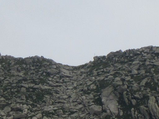 |
Zoom-in of Port de Sounou. Note the metal stick at the right of the Port. |
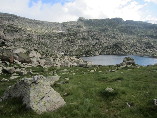 |
From that pass, I first have to descend to a small lake. I pass the lake at its left side |
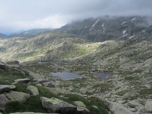 |
and keep progressing NEE amidst the rocks and boulders towards the Port. After passing these two tiny lakes (I'm looking back), |
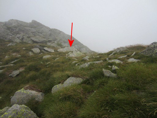 |
I reach the Port de Sounou with bm424. |
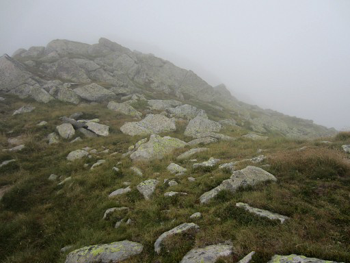 |
Bm424 might be difficult to recognize as it was for me the first time on 24 august 2007. So let's zoom-in |
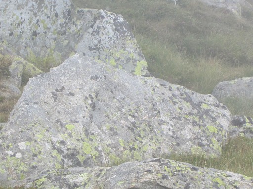 |
and zoom-in |
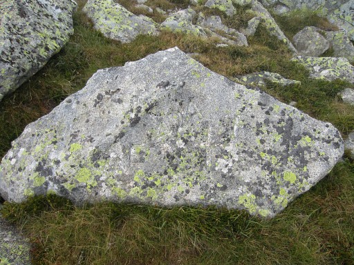 |
The engravings are not easy to recognize from distance. |
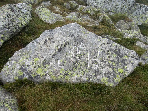 |
But with chalk they prove to be still fine. |
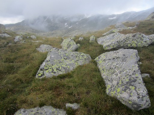 |
Bm424 |
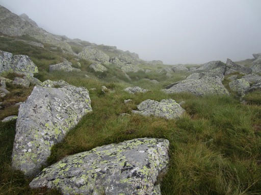 |
Bm424 |
 |
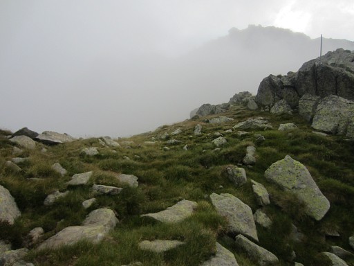
And looking back SW from the pass. |
 |
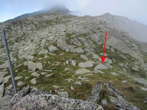
The metal pole is a landmark of this borderpass, recognizable from far away |
 |
Two last picture of |
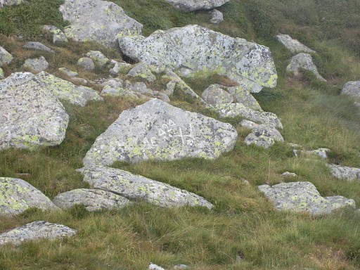 |
the location of bm424. |
 |
My plan is to descend into
France and climb back in the next valley to bm425. I estimated that it
would take me one hour to do so but it was 2 hours. But there's a far easier way to do bm424 and 425 in one go. Just traverse on the Spanish mountain-slope from one to another. It was Charles Darrieu who told me the next day of this option. That's how he did it himself in 2006 and he provided the gps-file of his route. I thought that it would be too steep this way but no. |
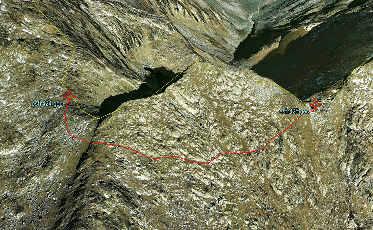 The Darrieu's shortcut shown on Google Earth. The distance is ± 700m with little elevation gain and loss. It still took the Darrieu's about one hour to do this shortcut so progress is slow. But check it yourself on Google Earth with this link: Shortcut bm424-425 |
|
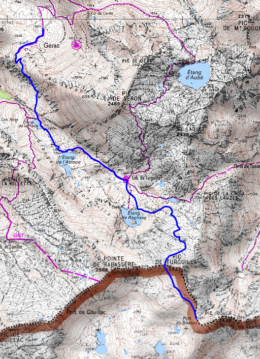 |
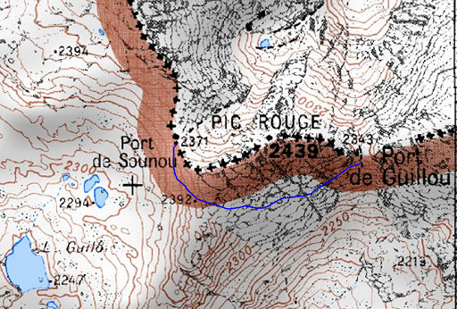
And there's another option mentioned by Charles Darrieu. It seems obvious to follow the very long valley of the Ars-river to Aulus-les-Bains as an access or exit route from bm424-425. But from the ski station of Guzet-Neige, there's a (dirt)road to the S. From it's most southern point (where you can park your car) you can follow a trail towards the borderridge and then you are close to bm424. From bm424 to the parking would take you ± 2.15h (involving 5,8km, 211m elevation gain and 761m elevation loss). It's the blue trail on this map. Check it yourself on Google Earth with this link: Route Guzet-Neige to bm424 |
 |
But I'm not aware of
these options now and will descend into France, climb to bm425 and then
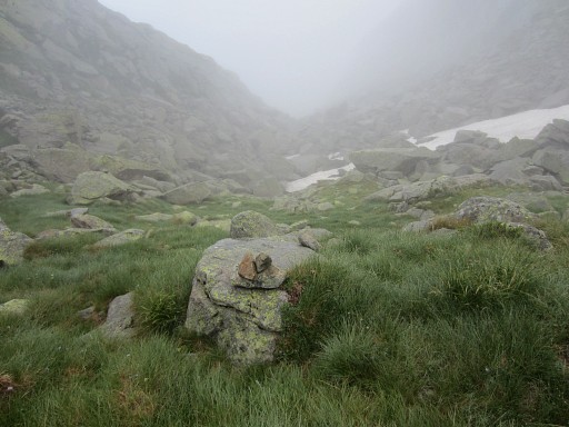
descend back towards Aulus-les-Bains. From bm424, it’s a long and careful descent into the ravine |
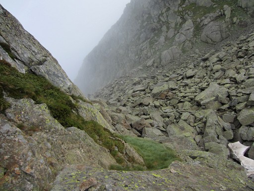 |
which is essentially one large rockfall (apart from the beginning when there’s a grassy strip to the left to descend along). |
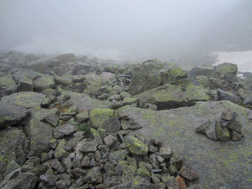 |
It's waymarked by cairns. |
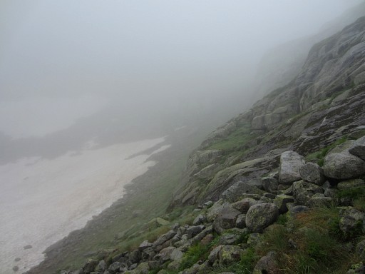 |
It takes me ± 1 hour to descend to the
confluence with the ravine coming from Port de Guillou (bm425, note:
on the Spanish maps this pass is named: Port d'Aulús). |
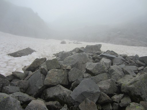 |
At the confluence, it’s 12 o'clock and I decide to climb
to bm425 and back which will take me 1.45h. It proves to be a hazardous trip, due to the wet & steep rockfall, the leftover snowfields and the lack of a trail (though there are some cairns). |
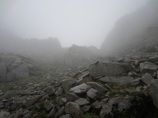 |
When reaching the large boulder in the
middle of the Port, there are two access-routes on either side of the boulder to the Port. Choose the left one (E-side). That one is easier. |
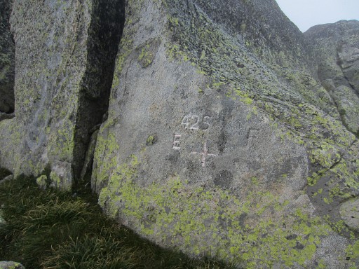 |
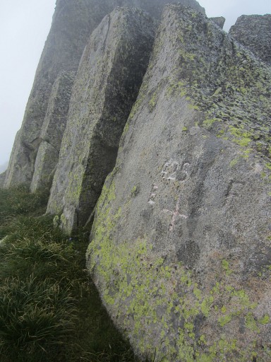
Bm425 |
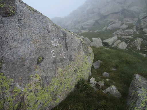 |
Bm425 |
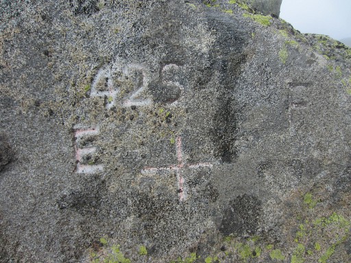 |
Bm425 |
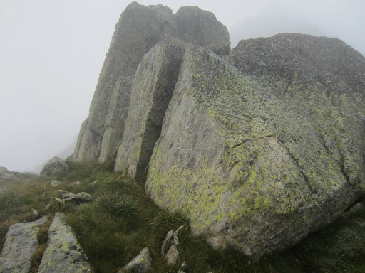 |
Bm425 |
 |
Bm425 |
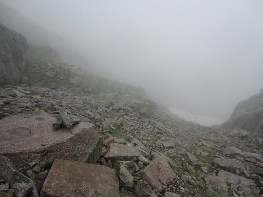 |
I'm on my way back, there are too few cairns to be helpful. |
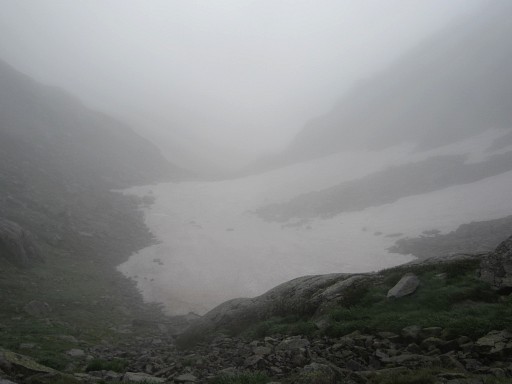 |
I’m glad when I’m back at the
confluence of the two ravines. About these two ravines: when coming from the north, the one to bm425 imposes as (an extension of) the main valley while the one to bm424 is a branch of it. |
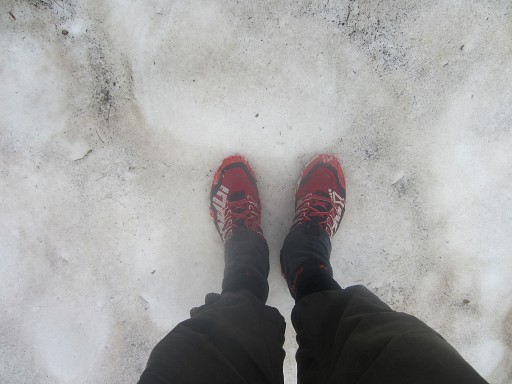 |
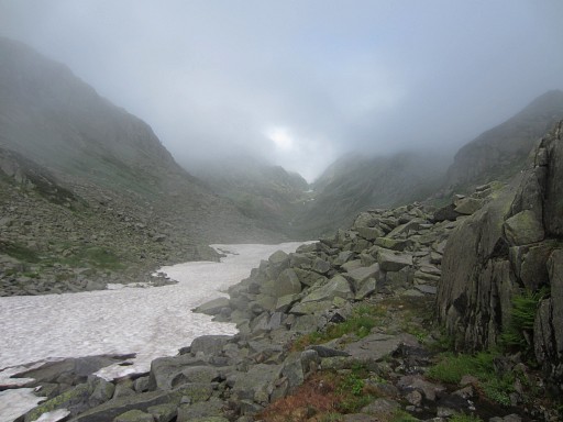
I’m looking forward to a nice & easy descent to Aulus-les-Bains but it’s the opposite. There's still much snow left |
 |
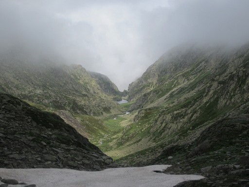
and the valley is very long |
 |
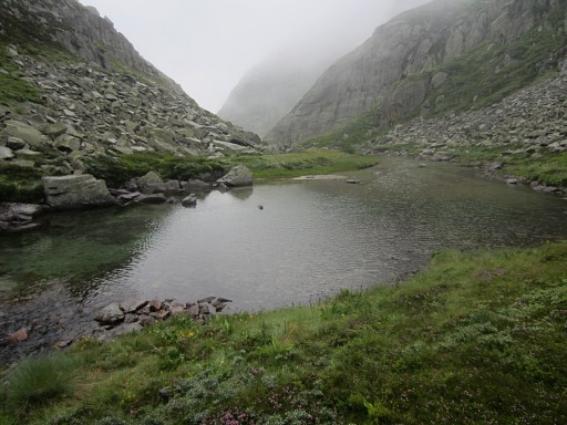
In the drizzle and by the absence of a
real trail for a long time (though there is some cairn-waymarking but not
consistent), descending is a slow and careful process in this very long
valley. From bm425 to beyond the Cascade d’Ars, it took me 6 hours, my longest descent ever for ± 8km and ± 1300m elevation loss. |
 |
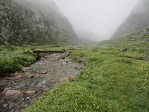
The long grass hides holes and the rocky descents to lower levels of the valley are tricky. |
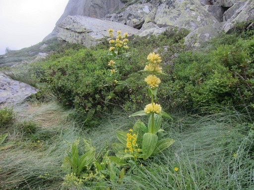 |
But the great yellow Gentian is still flowering |
 |
Then I start to see traces of the civilized world: a bridge |
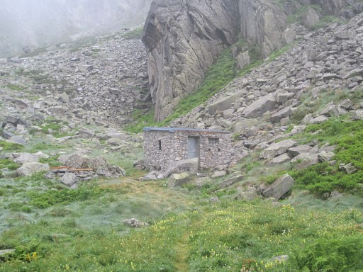 |
and a cabin just south of the lake of Hille de l'étang. |
 |
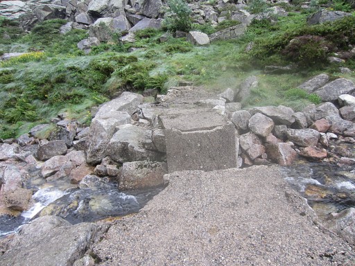
Yellow waymarks appear. |
 |
But this bridge is broken. |
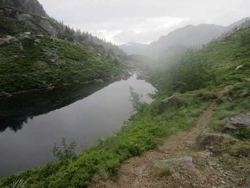 |
Then the trail gets more distinct and the weather less foggy. |
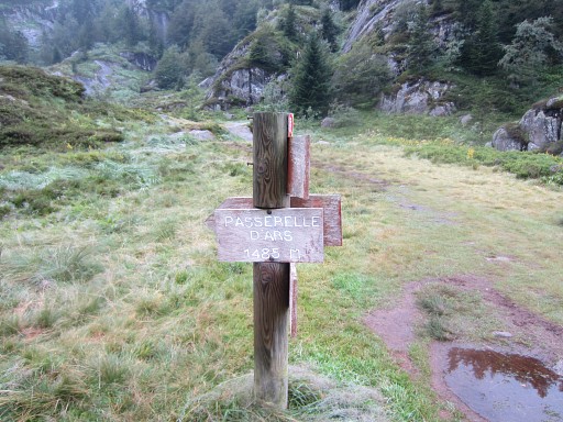 |
Finally at Passerelle d'Ars above the cascade d'Ars. It still takes some descent on a rocky path (GR10-trail) to |
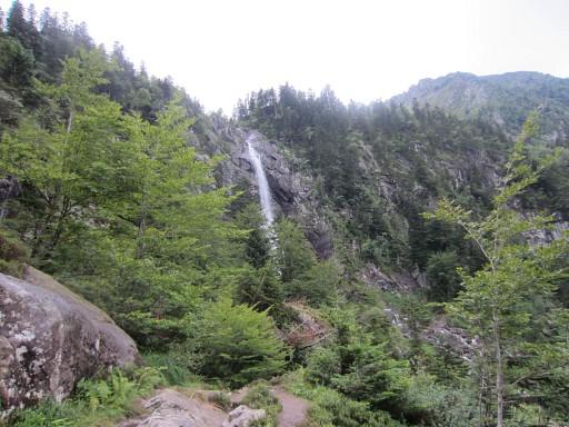 |
get past the famous Cascade d'Ars. But then- at the end of a forester's road - Charles and Josette Darrieu are waiting for me as angels at the gate of heaven. They take me home and treat and spoil me that night as if I’m a king, returned from a long and dangerous quest. |
 previous
trip next
trip previous
trip next
trip 
|
|
