|
The
bordermarkers of the Pyrenees : all my trips
 |
|||||||||||||||||||||||||||||||
| - wednesday 28 august
2013 - Port de la Pez |
 |
||||||||||||||||||||||||||||||
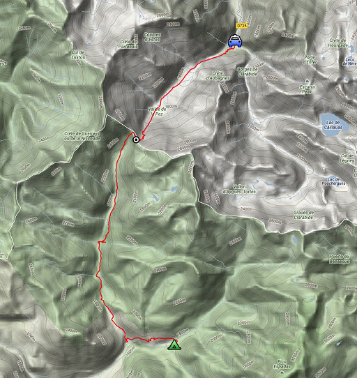 |
esfr-trip-track-20120828.kml (click to open this trip in Google Earth or copy link to Google Maps; click right on this link to download gpx-version) Summary: part of a 12-days trip to the Pyrenees with a lot of targets from the Ariège mountains to the Basque country Day 7: first day of a 2-days circuit from Pont du Prat visiting bm329 and the original bm330, today crossing Port de la Pez (bm329) and finishing beyond Refugio de Viadós. Weather: foggy on the French side, sunny/cloudy in Spain, in the late afternoon some rain. |
||||||||||||||||||||||||||||||
 |
For
explanation of
the gps-coordinates and other cartographic backgrounds: cartography-page Start: 9.00, no break, finish: 18.00 , net walking time: 9h According to the gps-tripteller: Distance: 21,4 km Total ascent: 1517m Maximum height: 2438m |
||||||||||||||||||||||||||||||
 |
This map is more detailed but lacks a strip in Spain. |
||||||||||||||||||||||||||||||
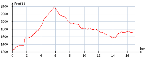 |
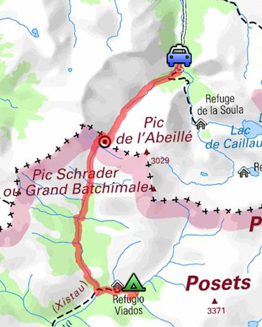
According
to visugpx - distance : 17,0 km - cum. elevation gain : 1386m - cum. elevation loss : 915m - total elevation: 2301m - altitude maxi : 2386m - altitude mini : 1241m - altitude average : 1755m |
||||||||||||||||||||||||||||||
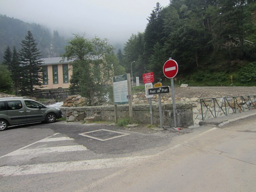 |
Yesterday
I left the hospitable Darrieu’s and spent an afternoon of recuperation
and reorganisation on the camping in Loudervielle. Today on the road again for a 2-days circuit. I leave my car at Pont du Prat |
||||||||||||||||||||||||||||||
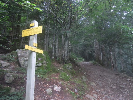 |
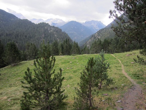
and follow the trail uphill through the forest |
||||||||||||||||||||||||||||||
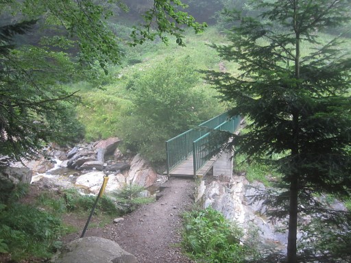 |
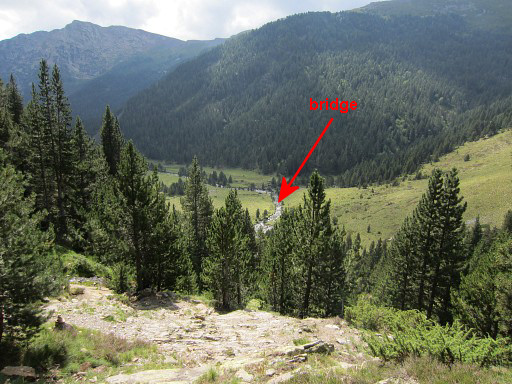
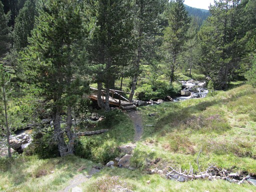
and after crossing this bridge |
||||||||||||||||||||||||||||||
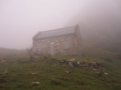 |
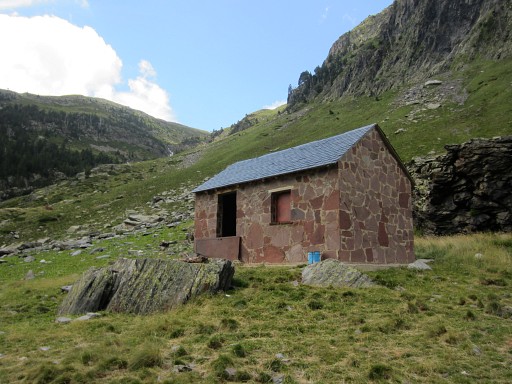
enter a world of fog and silence. This is a shepherd's cabin. It will take me 3½h to reach Port de la Pez (from Pont du Prat) |
||||||||||||||||||||||||||||||
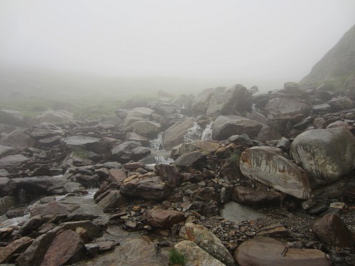 |
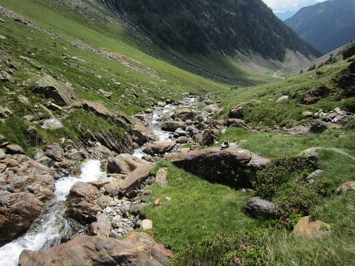
Part of the route uphill is along this stream. |
||||||||||||||||||||||||||||||
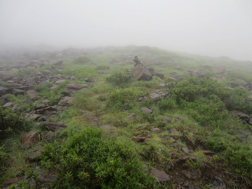 |
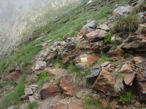
The trail is waymarked with cairns and (old) yellow waymarks. |
||||||||||||||||||||||||||||||
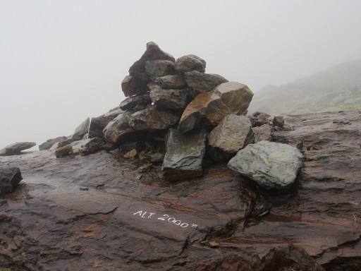 |
Never seen before: the altitude painted on a rock. |
||||||||||||||||||||||||||||||
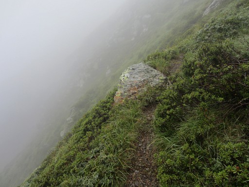 |
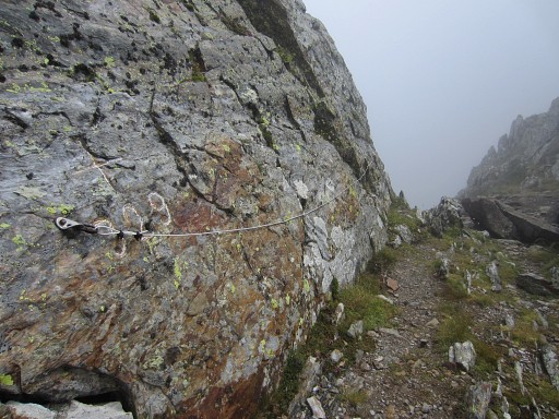
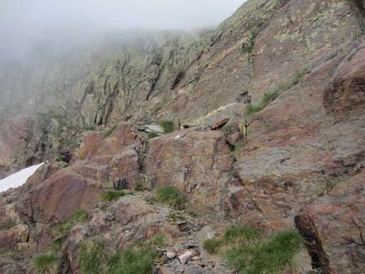
During the last hour the trail - though
in good shape - is often narrow at the steep mountainside. I didn't like it. You should not suffer from vertigo here. Take care. |
||||||||||||||||||||||||||||||
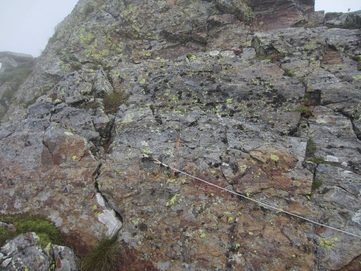 |
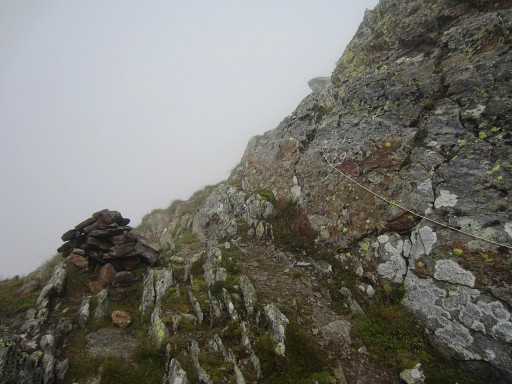
Finally at Port de la Pez. Bm329 is not easy to see. |
||||||||||||||||||||||||||||||
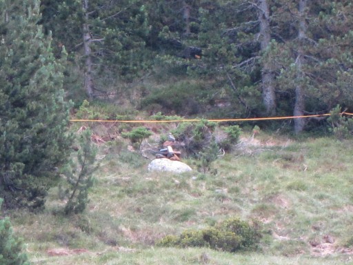
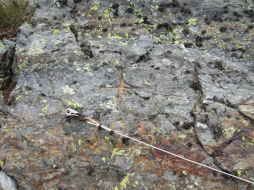 |
Bm329 is behind the cord.
|
||||||||||||||||||||||||||||||
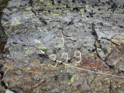 |
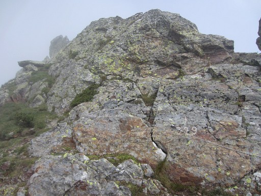
Bm329, now with chalk |
||||||||||||||||||||||||||||||
 |
Bm329, looking towards France | ||||||||||||||||||||||||||||||
 |
Bm329, looking towards Spain |
||||||||||||||||||||||||||||||
 |
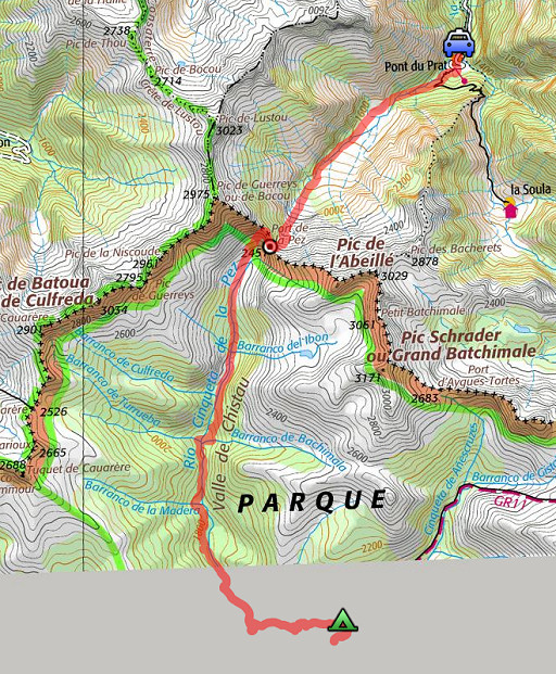
Bm329 Port de la Pez is in fact part of a long and more or less horizontal ridge. You have to follow the ridge (on a trail underneath it) for ± 250m to the NNW before it starts to descend S. |
||||||||||||||||||||||||||||||
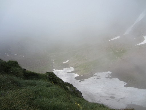 |
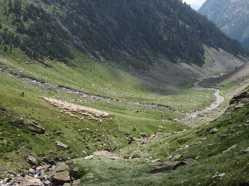
Also here still a lot of snow left in the upper valley. |
||||||||||||||||||||||||||||||
 |
Once in Spain, the weather clears up quickly and the trail down into the valley is well waymarked in white/yellow. |
||||||||||||||||||||||||||||||
 |
A little bit of scrambling is needed to descend from this rocky part. Nothing special now but my remembrance of 2 sept 2010 was more impressing. |
||||||||||||||||||||||||||||||
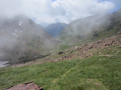 |
The valley towards Viadós before me. |
||||||||||||||||||||||||||||||
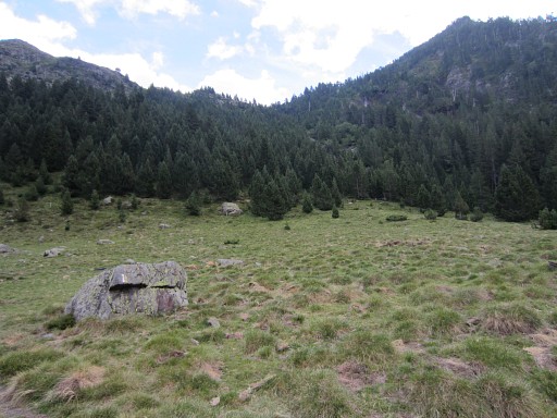
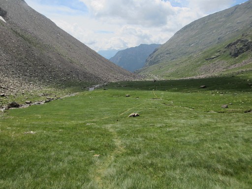 |
This flat grassy plain offers nice bivouac-opportunities. |
||||||||||||||||||||||||||||||
 |
Later the trail crosses a stream but I found it too tricky to cross it there. |
||||||||||||||||||||||||||||||
 |
But you can also easily descend on the right side of the stream |
||||||||||||||||||||||||||||||
 |
until a simple bridge, just beyond this cabane (not suitable for an overnight's stay) |
||||||||||||||||||||||||||||||
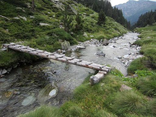 |
which will take you back at the trail, left from the stream. |
||||||||||||||||||||||||||||||
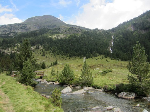
 |
After a descent in a forest, you’ll arrive at a flat grassy part with a bridge. This picture: the flat grassy part seen from above. The bridge gives access - to the right - to the valley leading up to Port de Caurère with bm328. |
||||||||||||||||||||||||||||||
 |
On the opposite of that valley,
there is a valley which climbs to the “Señal de Viadós”, a pass
which gives access to the valley of d’Aygues Tortes. |
||||||||||||||||||||||||||||||
 |
I see cairns which mark the beginning of the trail towards Señal de Viadós. From that ‘“señal’ you might traverse directly to Port d’Aigues Tortes, staying more or less at the same altitude. On the Topo Pirineos-map, we
see a track doing that traverse. |
||||||||||||||||||||||||||||||
 |
This picture: on the other side of the bridge, looking E towards the valley climbing to Señal de Viadós From here (the bridge) a roundtrip to bm329 would take ± 3h. In a on-going route along all bordermarkers it’s inevitable that in the range 428-330bis, there’s such a back-and -forth trip. And how to get from here (the bridge) to bm330? Well, in fact there are 3 options: |
||||||||||||||||||||||||||||||
1. climb to Señal de Viadós and traverse to bm330 -> the blue/pink route 2. climb to Señal de Viadós, descend to the Cabaña de Añes Cruces and climb to bm330 -> the blue route 3. descend to Viadós, climb to Cabaña de Añes Cruces and proceed to bm330 -> the red/blue route 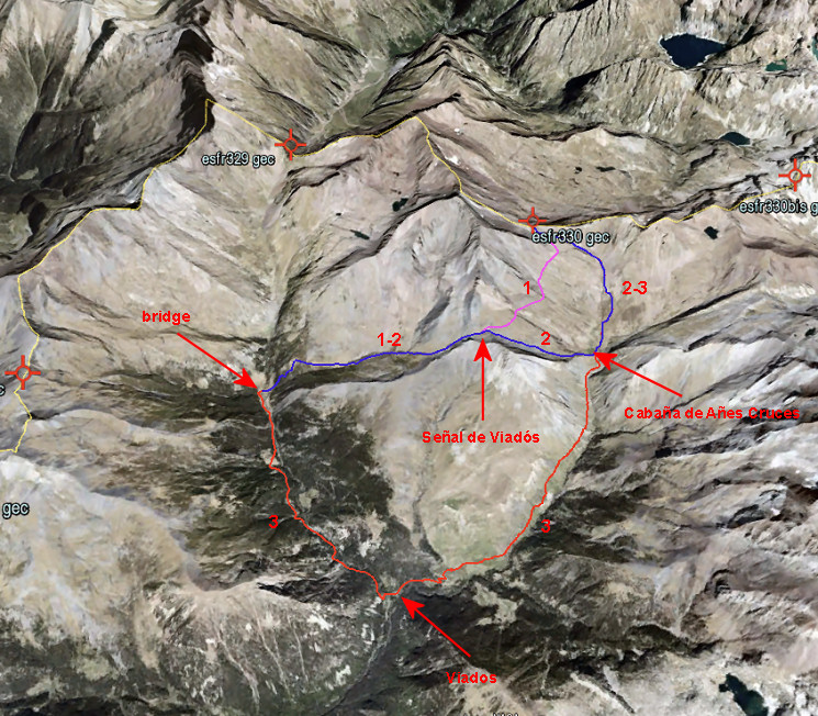 Let’s put their data in a table: |
|||||||||||||||||||||||||||||||
|
Considering that option 1
probably will take more time than scheduled because of the traverse on
the hillside and option 3 is likely to be faster because most of
it is on easy paths, there isn’t that much difference. Option 3 takes
you along the camping and refugio of Viadós. My advice: if you want the fastest connection -> try option 1, otherwise choose option 3. |
||||||||||||||||||||||||||||||
 |
But it’s already 3 pm and the weather
is instable. It will take - I estimate - at least 4 hours to do the
Señal de Viadós-crossing & traversing to bm330 & descending to
the valley in France. So I decide to continue to Viadós. This picture: the second bridge, close to the other one, which |
||||||||||||||||||||||||||||||
 |
gives access to the trail towards Viados. |
||||||||||||||||||||||||||||||
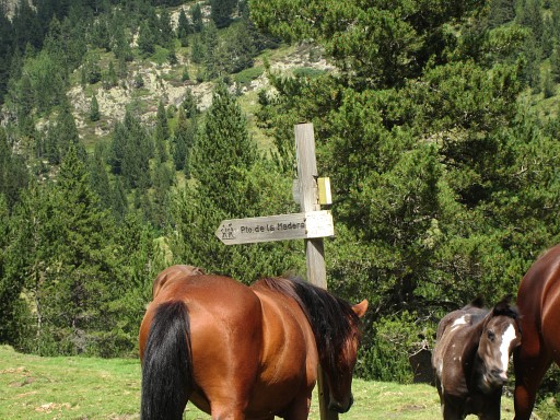 |
Puerto de la Madero is the Spanish name for Port de Caurère (bm328) | ||||||||||||||||||||||||||||||
 |
I continue to Viadós along the green/white trail which brings me in 1½h | ||||||||||||||||||||||||||||||
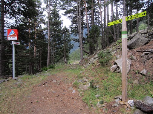 |
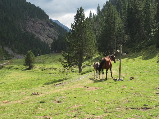
along these way-signs |
||||||||||||||||||||||||||||||
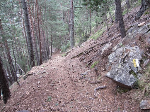 |
through this forest |
||||||||||||||||||||||||||||||
 |
to a deserted campground (behind the building), apparently only in use when there are large pilgrimages to |
||||||||||||||||||||||||||||||
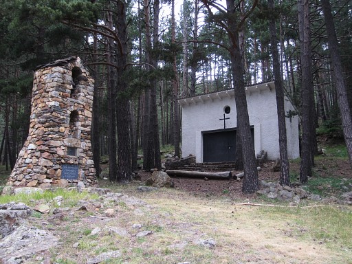 |
this chapel 'de la Virgen Blanca'. |
||||||||||||||||||||||||||||||
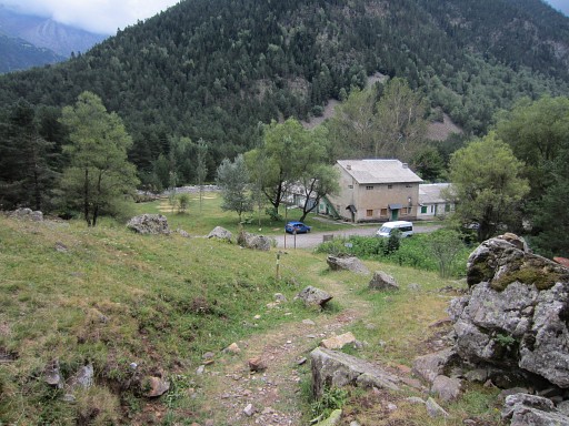
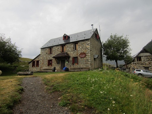
 |
A bit further on - having picked up the GR11 - there's a real camping (behing this building). Meanwhile it has started raining now and then. |
||||||||||||||||||||||||||||||
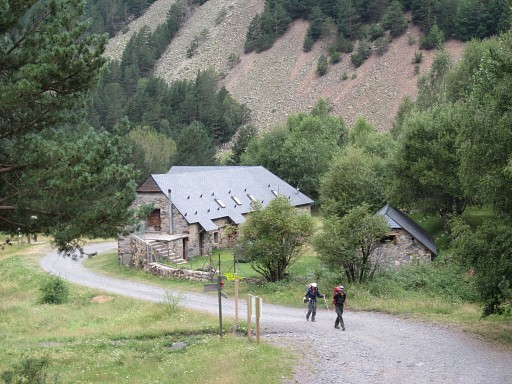
 |
I continue to the Refugio de Viadós but that looked quite crowded |
||||||||||||||||||||||||||||||
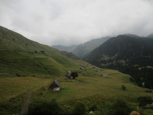 |
and I walk further to find a bivouac-spot somewhere along the route. I prefer peace & privacy. |
||||||||||||||||||||||||||||||
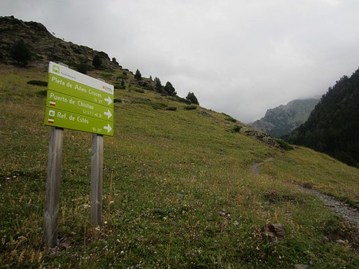 |
The waymarking is perfect here but the different names in Spanish can be confusing. Puerto de Añes Cruces = Port d'Aygues-Tortes (bm330) |
||||||||||||||||||||||||||||||
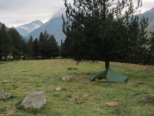 |
I take a branch of the GR11, cross a bridge and find this bivouac-spot. |
||||||||||||||||||||||||||||||