|
The
bordermarkers of the Pyrenees : all my trips
 |
|
| - monday 2 september
2013 - Finding bm251-cross |
 |
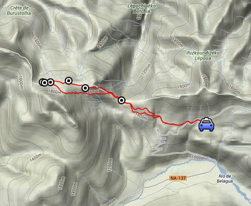 |
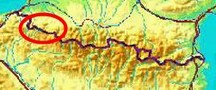
esfr-trip-track-20120902.kml (click to open this trip in Google Earth or copy link to Google Maps; click right on this link to download gpx-version) Summary: part of a 12-days trip to the Pyrenees with a lot of targets from the Ariège mountains to the Basque country. Day 11: from Belagua a roundtrip to bm251-cross Weather: sunny |
 |
For
explanation of
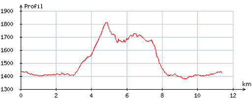
the gps-coordinates and other cartographic backgrounds: see the cartography-page Start: 11.15, no break, finish: 15.30 , net walking time: 4.15h According to the gps-tripteller: Distance: 12,0 km Total ascent: ?m Maximum height: 1790m |
 |
According
to visugpx - distance : 11,6 km - cum. elevation gain : 543m - cum. elevation loss : 543m - total elevation: 1086m - altitude maxi : 1811m - altitude mini : 1377m - altitude average : 1546m |
 |
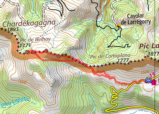
On 6 sept 2010, I found the small pillar bm251. Apparently, the bm251-cross was unfindable and
considered to be lost. But the original cross 251 still exists and is
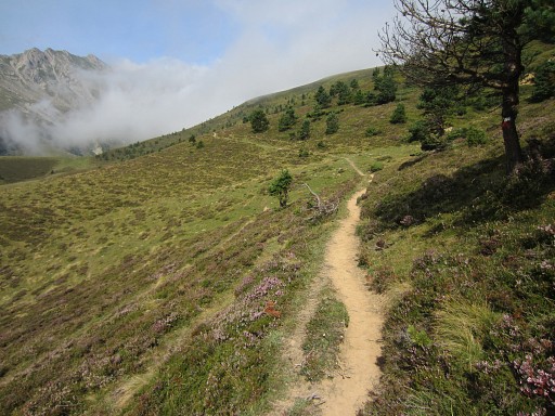
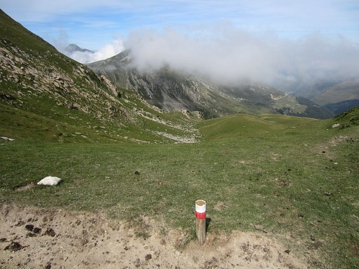
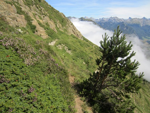
located 55m to the SEE. Until last year, I didn’t know of its existence. Jacques Koleck informed me of it and also Charles and Josette Darrieu provided photographic evidence. In the morning I drive from the camping in Lescun to the parking of the since long closed Refugio Belagua. From there, I follow the red/white trail to the NWW |
 |
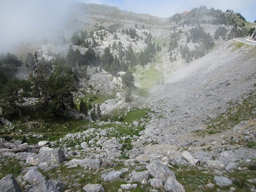
which brings me easily to the Port d’Ourdayté. Beneath that Port on the Spanish side is this valley where I once camped for the night. |
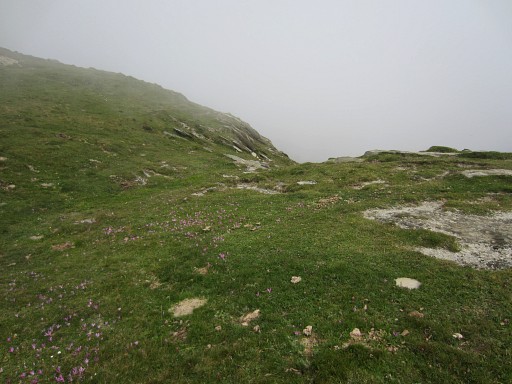 |
At Port d’Ourdayté I check once again the site for any remnants of the lost bm255: there are none. |
 |
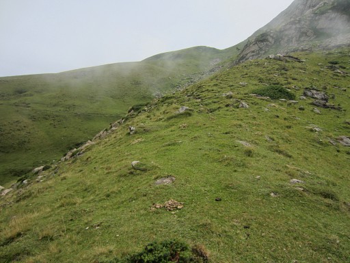
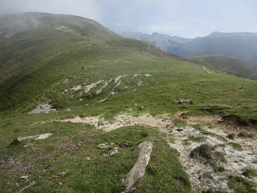
Then the red/white-trail climbs to a sort of pass, |
 |
passing underneath the Port de la Bimbaleta. |
 |
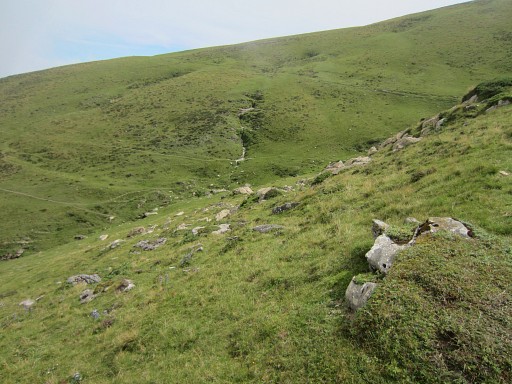
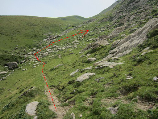
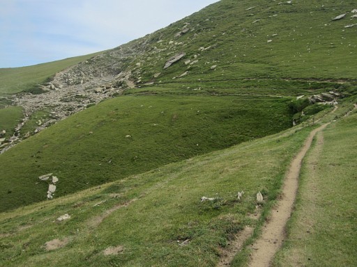
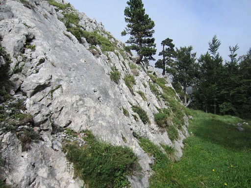
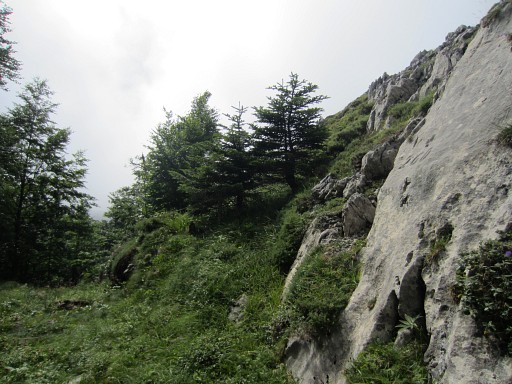
That col opens to a valley. The col is on the watershed but between bm250 and bm254, the borderline has left temporarily the watershed. I don't know why. The bordermarkers 251-253 are on the hillside, not on the ridge. I descend along the trail |
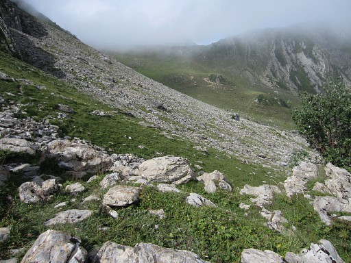 |
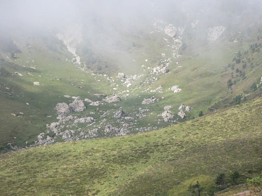
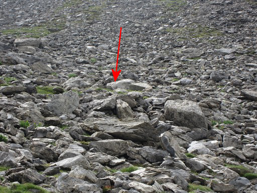
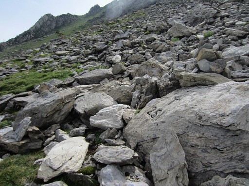
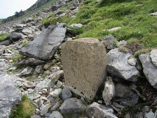
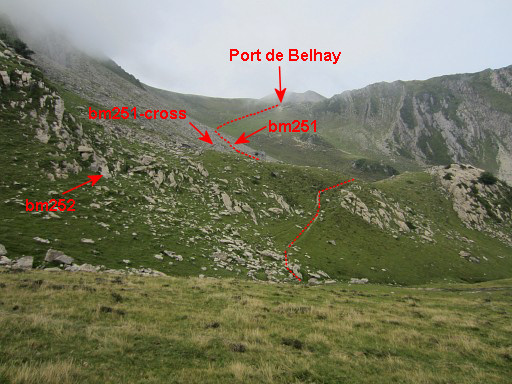
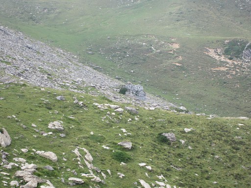
After ± 500m of descending I pass over a ridge and I see the the rockfall where the bm251-cross should be. |
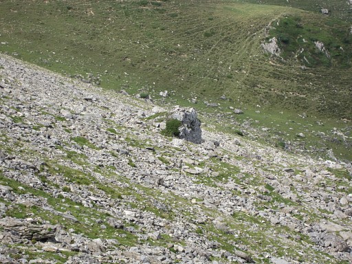 |
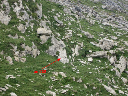
Zoom-in I have several pictures with me from the Darrieua’s and Jacques Koleck and I immediately recognize the rocky outcrop, close to where bm251-cross is located. |
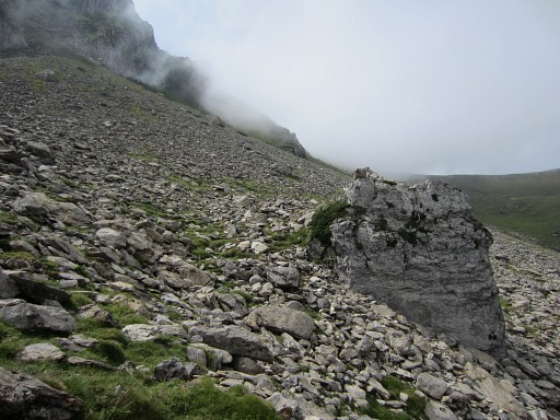 |
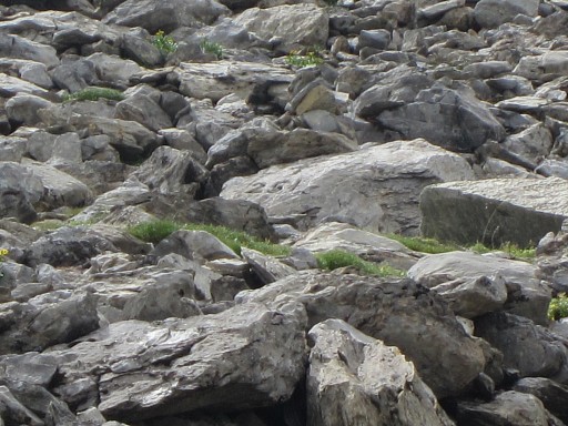
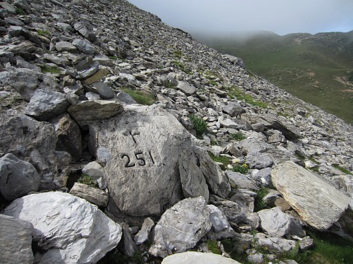
And from there, it’s easy to find bm251-cross. In fact it’s ± 35m SSE uphill from that outcrop and in between is the cairn-waymarked trail that passes along bm251-pillar from W to E. |
 |
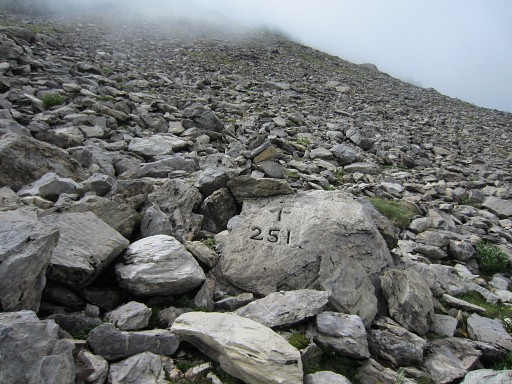
Zoom-in towards bm251-cross |
 |
Bm251-cross
|
 |
Another sequence of pictures, now including the rocky outcrop as starting point. |
 |
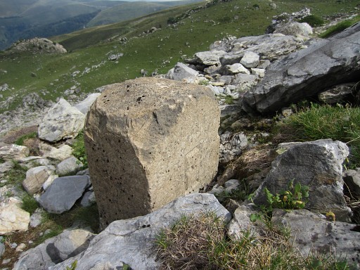
Bm251-cross |
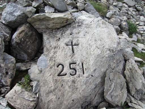 |
Bm251-cross |
 |
Bm251-cross, looking E |
 |
Bm251-cross, looking W |
 |
Bm251-cross, looking to the rocky outcrop |
 |
Then to bm251, we're looking towards Port de Belhay |
 |
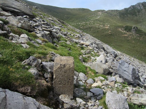
Bm251 |
 |
Bm251 |
 |
How to get from bm251 to bm251-cross? From bm251-pillar, you should continue E on the trail and after ± 45m (with the rocky outcrop at your left hand) climb SSE for ± 20m. Then it's time to return, now via bm252-254 |
 |
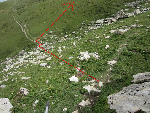
Directions for getting to bm252 from
bm251-cross: descend back to the trail, continue on that cairns-waymarked trail eastwards until it has climbed (after 125m) a grassy ridge (and the trail has become vague). |
 |
Turn right and |
 |
a trail will appear that descends slowly SE until its bends sharply. At that point, climb 30m |
 |
to the SSW to bm252. |
 |
Bm252 |
 |
Bm252 Then back to that bend of the trail. From that point, leave the trail and climb ± 300m E up the green slope until |
 |
I'm climbing E and look back |
 |
|
 |
And a zoom-in to the rocky outcrop. |
 |
Then you reach another - worn-out -bend of trails on the hillside. From that bend follow the dominant trail. |
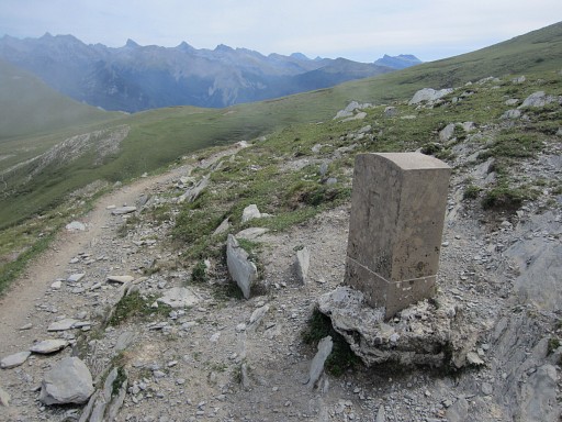 |
Just beyond the next bend, bm253 appears |
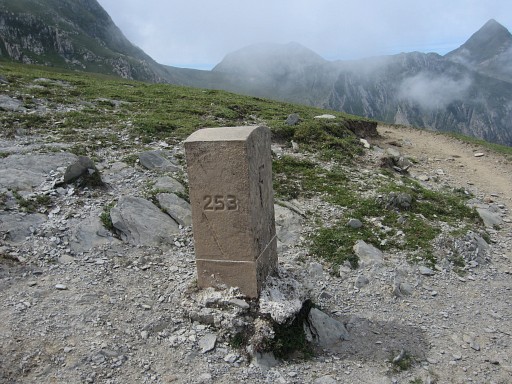 |
Bm253 |
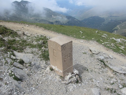 |
Bm253 |
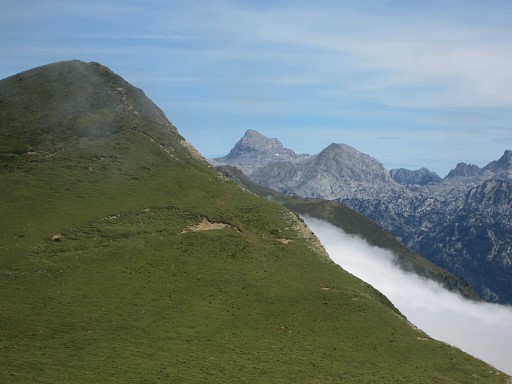 |
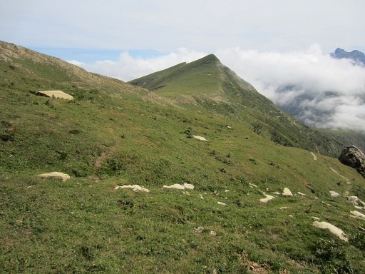
In the far distance, I can see Pic d'Anie. |
 |
Then the trail heads SEE towards Port de la Bimbaleta with bm254. |
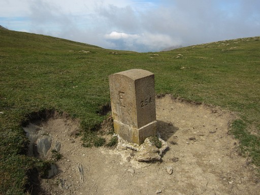 |
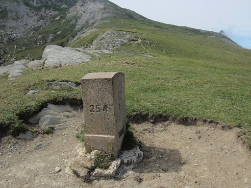
Bm254 |
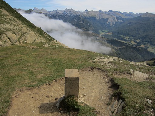 |
Bm254 |
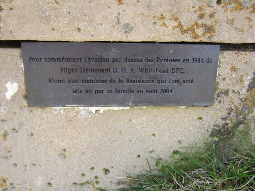 |
Bm254, little plaque remembering and thanking for the escape of a pilot in WWII to Spain. |
 |
Then SEE along the hillside on a cattle-trail, gradually descending to Port d’Ourdayté. |
 |
Port d’Ourdayté Then picking-up again the red/white trail towards Belagua (which I loose at a certain point but all trails seem to go SEE). |
 |
Back at Belagua, far away Pic d'Anie |
 |
When driving back to Col de la Pierre St-Martin, I ‘do’ bm256, |
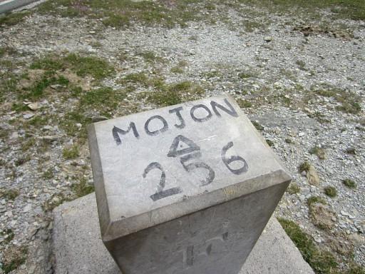 |
Bm256 |
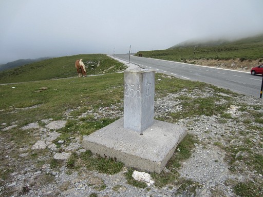 |
Bm256 |
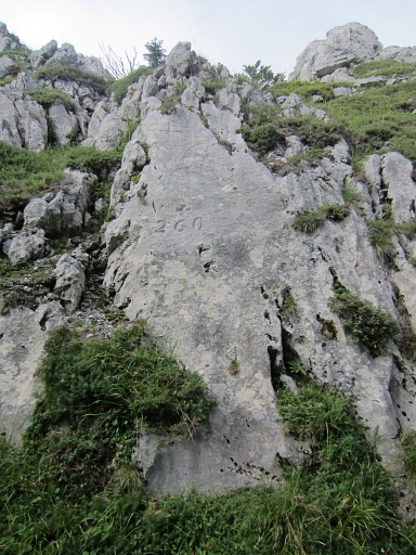 |
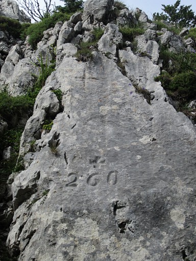
And bm260 |
 |
Bm260 |
 |
Bm260 |
 |
Bm260 |
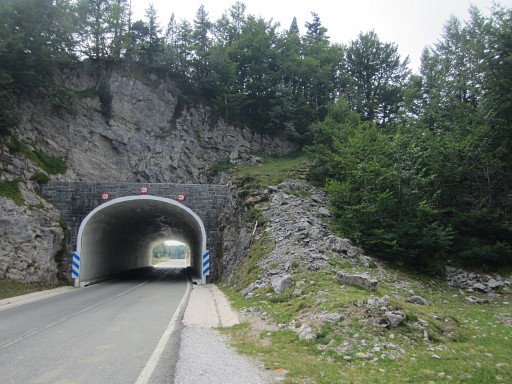 |
Bm260 can be easily reached from the E-side of this tunnel. |
 |
I
also do a little check on a possible shortcut to bm261: leaving the
road and descending in the valley on the borderline itself. But that seems not worth the effort of descending and climbing in that rocky terrain instead of continuing on the road. But I'm not sure. Maybe next year a real survey. |
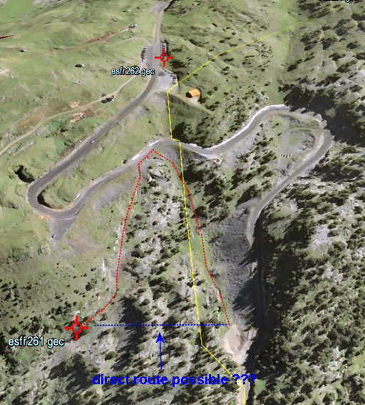 |
Let's show in a greater perspective on Google Earth what I mean. The red route is what I had in mind, the blue route a possible direct route. |
 |
Then finally bm262. |
 |
Bm262 |
 |
Bm262 |
 |
A
second check is just beyond bm262 at the end of the parking-strip:
there’s an obvious starting point for walking E into the green hills
towards Col d’Arlas but I see no waymarks. Then driving to the camping municipal of St-Étienne-de-Baïgorry, my basecamp for tomorrow. |