|
The
bordermarkers of the Pyrenees : all my trips
|
|
| - sunday 1 september
2013 - Testing the shortcut 271-272  previous
trip next
trip previous
trip next
trip 
|
 |
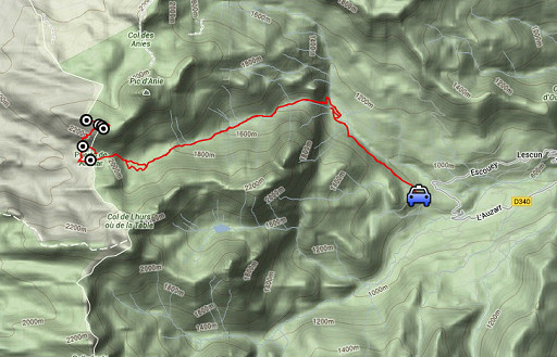 |
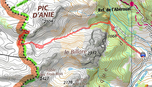
esfr-trip-track-20120901.kml (click to open this trip in Google Earth or copy link to Google Maps; click right on this link to download gpx-version) Summary: part of a 12-days trip to the Pyrenees with a lot of targets from the Ariège mountains to the Basque country Day 10: from Col d’Anaye trying the steep trail up to bm271. Basecamp =campin in Lescun. Weather: splendid, ‘grand beau’ as they put it in French |
 |
For
explanation of
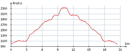
the gps-coordinates and other cartographic backgrounds: see the cartography-page Start: 7.30, break 1/2h; , finish: 17.15, net walking time: 9.15h According to the gps-tripteller: Distance: 22,1 km Total ascent:1520 m Maximum height: 2337m |
 |
According
to visugpx - distance : 20,9 km - cum. elevation gain : 1446m - cum. elevation loss : 1444m - total elevation: 2890m - altitude maxi : 2337m - altitude mini : 989m - altitude average : 1664m |
 |
Once
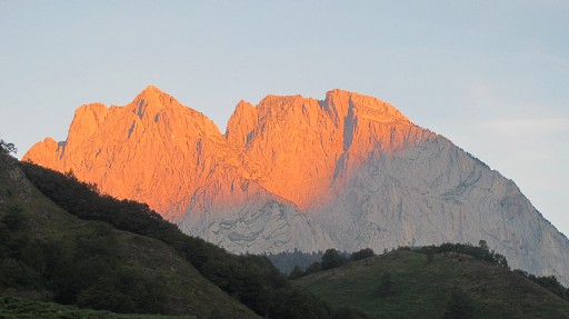
again to Col d’Anaye, now to investigate/explore routes, especially the
direct trail that descends from the ridge to the Col, thus linking
bm271 and 272. Charles and Josette Darrieu had told me of this direct route which is shown on Topo Pirineos. They had climbed the first part but had too little time to continue to the ridge. |
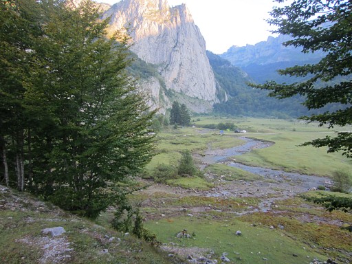 |
Early
start. From a parking I walk on a dirtroad to the grassy plain of
Sanchèse. In fact Sanchès is accessible by an ordinary car and makes a perfect (bivouac spot (though forbidden but which many people neglect) . |
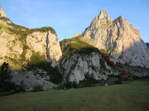 |
From Sanchèse, a trail climbs up to the |
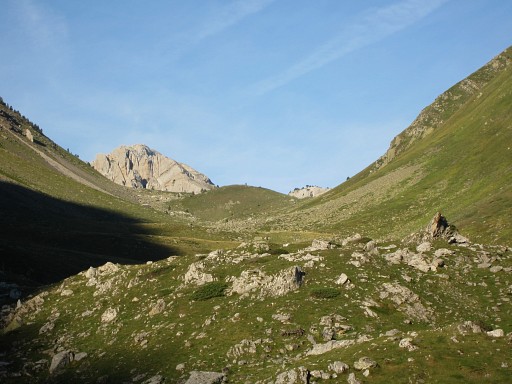 |
upper valley where I continue and climb towards Col d’Anaye. |
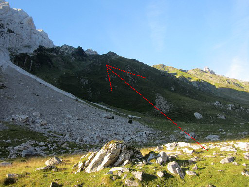 |
This is at the beginning of the valley. A cairns-waymarked trail branches off to the left and climbs to the ridge left and is the access route to the summit of Le Billare. |
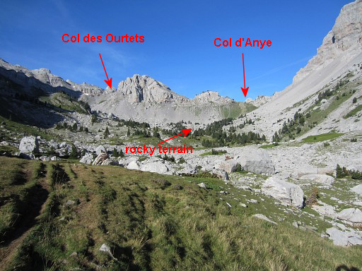 |
Getting closer to Col d'Anaye (and Col des Ourtets). At the foot of Col d'Anaye you have to traverse a rocky terrain with boulders. Cairns will lead you through it. |
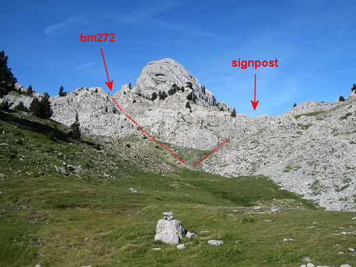 |
After the rocky traverse, I climb to this flat area. The Col d'Anaye lies ahead but consists in fact of two colls. To the left is where bm272 is situated. The right col brings you along a yellow waymarked trail to the signpost. That signpost is at the start of the climb to bm271. I want to check if it’s easy to reach - when continuing past bm272 - the red/white trail of the GR12/GRT13 and then follow it northwards to the signpost. So I go left where |
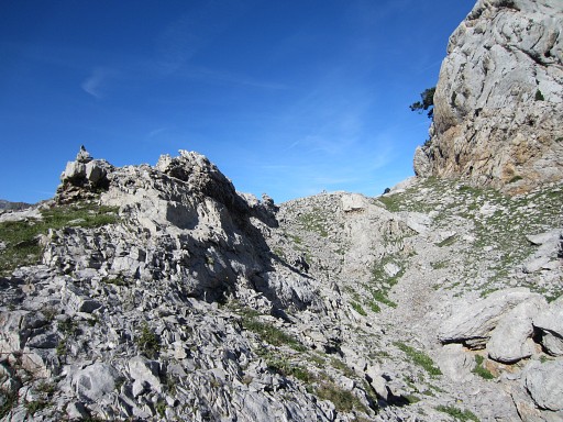 |
a cairns-waymarked trail brings me close to the real pass where |
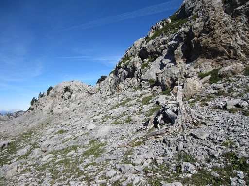 |
a dead tree marks the spot where to find |
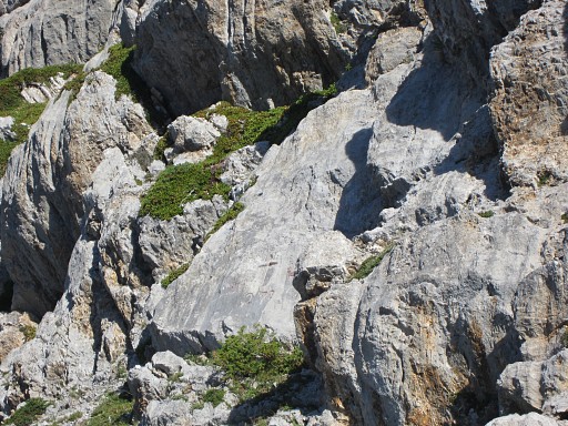 |
- zoom-in - bm272. |
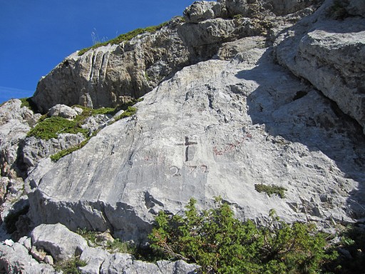 |
Bm272
|
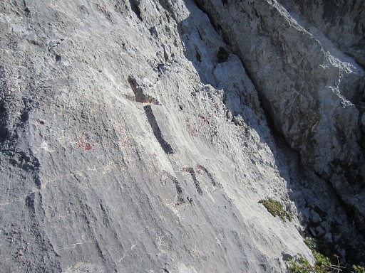 |
Bm272 |
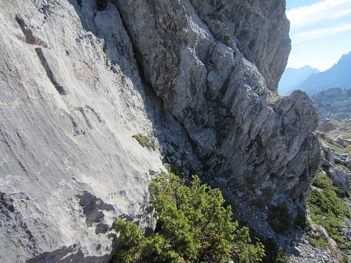 |
Bm272, looking to France |
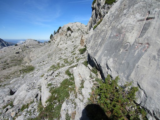 |
Bm272, looking west where I will continue. |
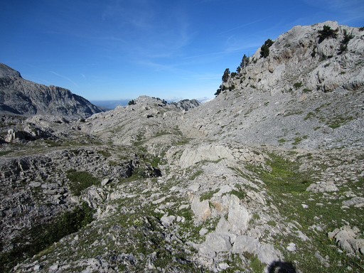 |
It's easy to continue W. |
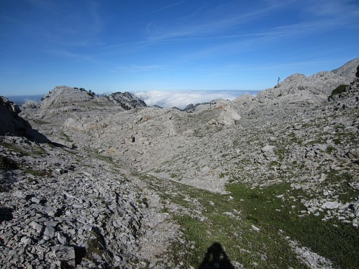 |
After ± 175m, you will spot on the rocks ahead |
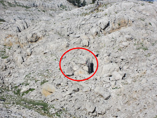 |
the red/white waymarks of the GR12/GRT13. |
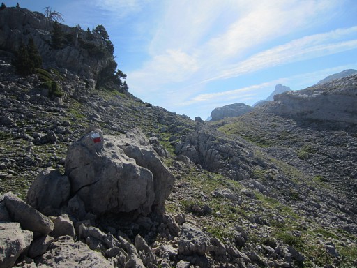 |
This picture: having reached the red/white trail and looking back where I come from. |
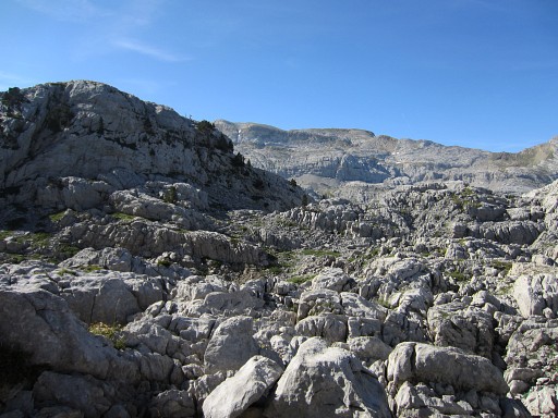 |
The red/white-trail is hardly a trail,
the waymarks just lead you through the rough and sharp karst-rocks.
From bm272 to the signpost takes ± 20 minutes. This picture: on my way, in the distance the ridge to climb. |
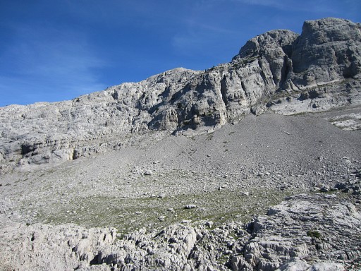 |
Now: closer to the signpost and the ridge |
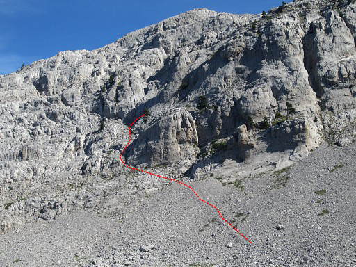 |
and the beginning of the trail leading up the ridge becomes visible. |
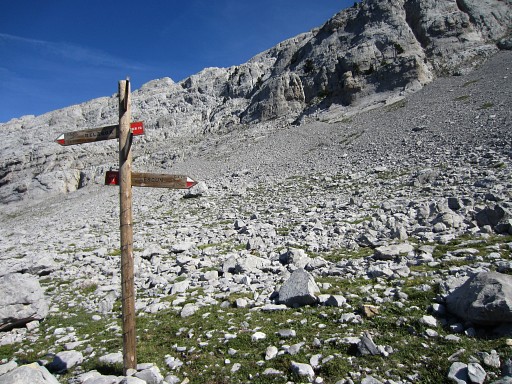 |
So close to the signpost
starts the well cairns-waymarked trail up the steep mountainside. It will take me ± 1.15h to reach the ridge (including a detour beneath the ridge, directly to the ridge will take ± 1h). |
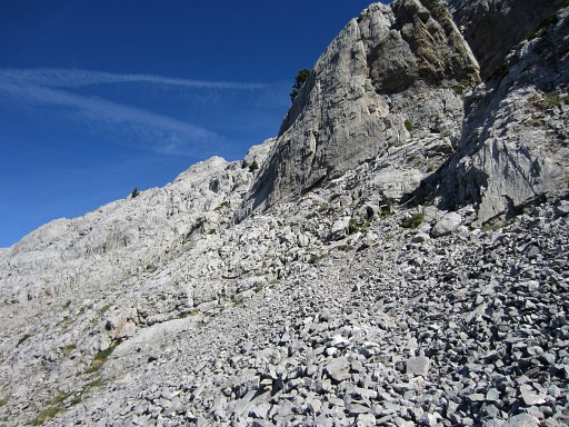 |
As you can see, there's a lot of loose rocks/pebbles/grail |
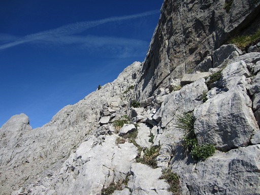 |
There are enough cairns to guide you uphill. |
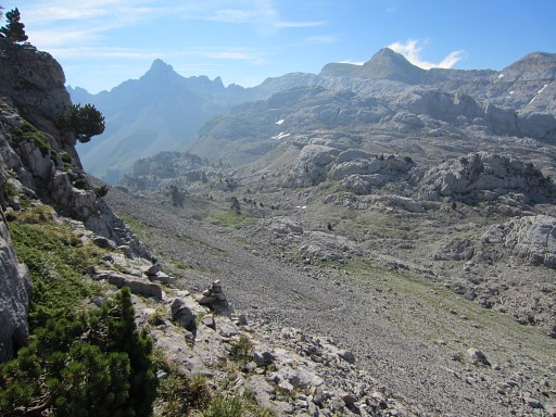 |
Looking back |
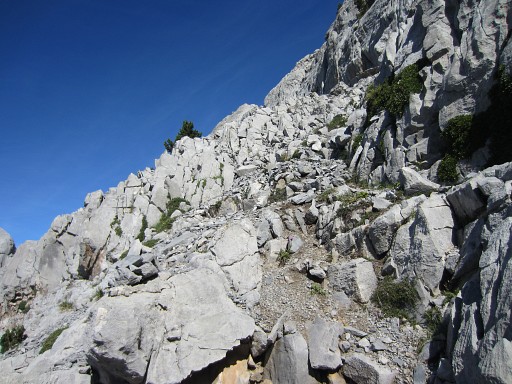 |
In parts, the trail is steep. |
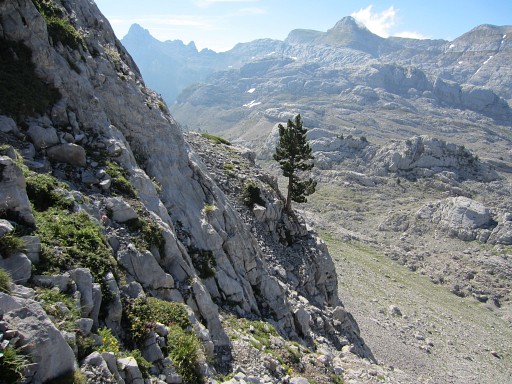 |
Now I'm a bit higher and shortly after this spot is |
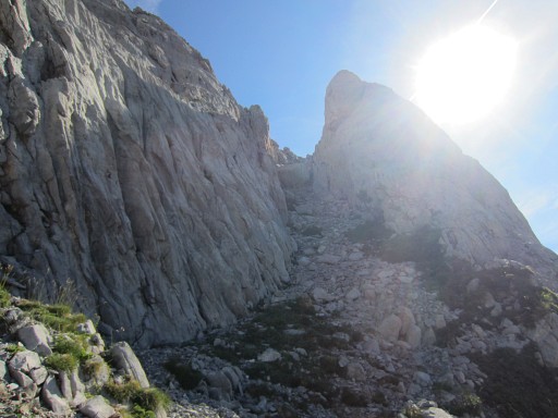 |
this steep gully/chimney to climb. In the middle is a nasty narrow breach to climb through. |
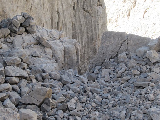 |
I just climbed that breach and look back. At this moment, I doubt if I it's wise to descend back along this route afterwards. |
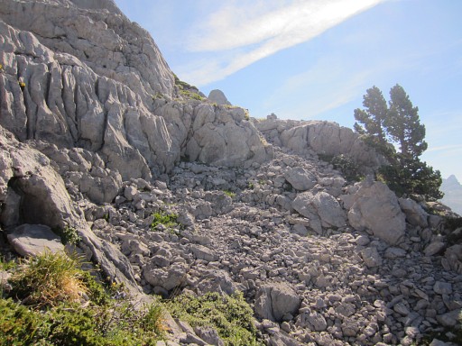 |
Higher up, the trail becomes easier, |
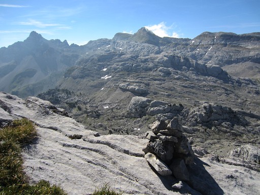 |
and reaches a sort of plateau. Nice view - looking S - towards |
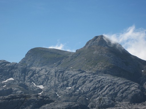 |
the Table and Pic des Trois Rois |
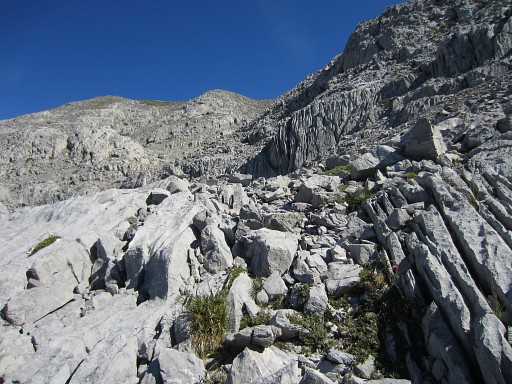 |
Finally the Añalarra-ridge comes in sight. |
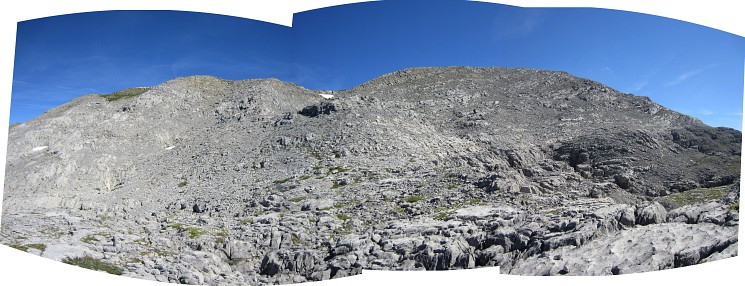 Note the two 'heads' or hilltops of this ridge |
|
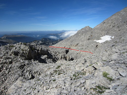 |
There's still some climbing to do but now I look back with in red my approximate route. But then the cairns suddenly disappear or I loose them. |
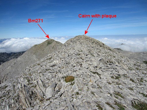 |
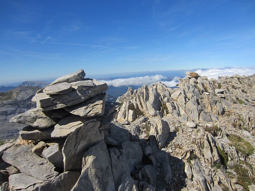
Instead of climbing directly N to the ridge, I do a E->NE-detour. This picture: I have reached to ridge at its eastern end and look to the NWW. This is approximately the spot where bm271bis should have been according to the French IGN-maps. But that map says: "détruite" (=ruined) You can see two hilltops ahead. The first is where a large cairn is built with an iron plaque besides it. The second one is where bm271 is. |
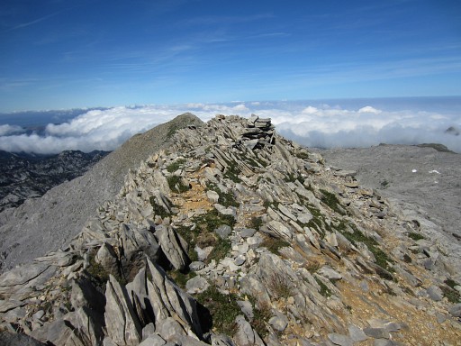 |
The cairn on the first hilltop. |
 |
with 1-2m beyond it |
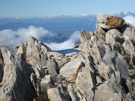 |
this plaque |
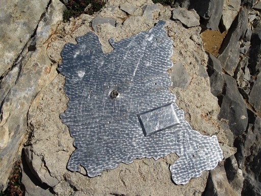 |
which is a map of Navarra with this inscription: G.M. Sangüesa Monte Añelarra Altitud 2345 m 28-6-1981 Pelegrin Angel Serrano wrote me that it is a non-official plaque of the "Grupo de Montaña Sangüesa", apparently a mountaineers-club. |
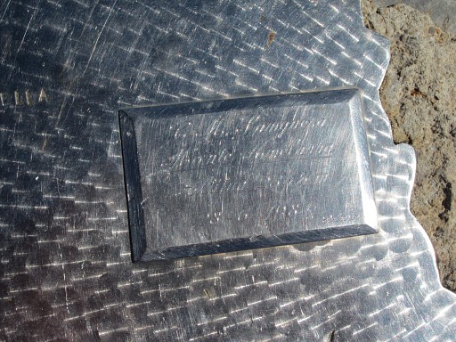 |
Sangüesa is a village near Javier known of the castle of the "Patrón de
Navarra". A mini-copy of that castle can be found on the summit of the Table des Trois Rois (see this page) So: this is no official geodetic marker, The inscription only says that this is the (summit) of Monte Añelarra and it's indeed the highest point of the Añelarra-ridge (according to the French and Spanish topographical maps) |
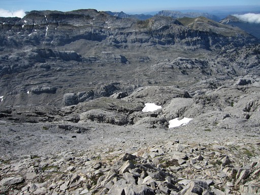 |
I continue NWW over the ridge and look S down the ridge, approximately from the 'saddle' between the two hilltops. The two snowfields: that will be my direction in my descent back to Col d'Anaye. See further on. |
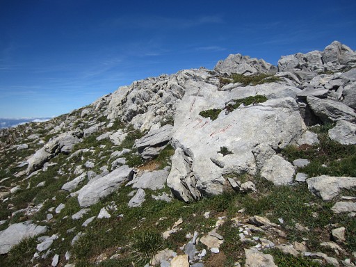 |
But first to the western summit with bm271 just beneath it on the S-side of the ridge. |
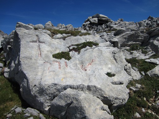 |
Bm271 |
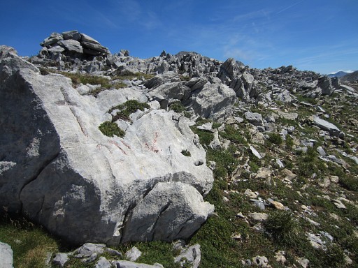 |
Bm271, you can see the cairn at the ridge above bm271. |
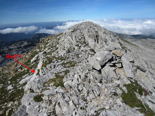 |
Now standing in front of the cairn. From here you can spot bm271. |
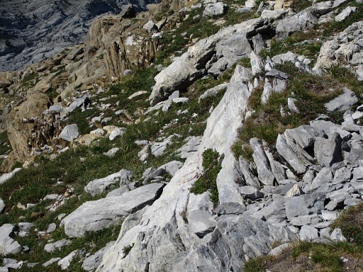 |
Zoom-in of previous picture. Bm271 |
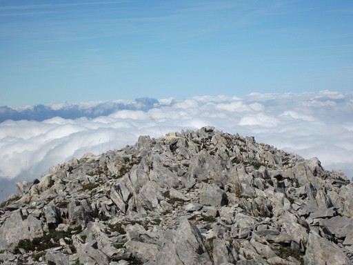 |
From the cairn we can spot another marker, a few meters to the east |
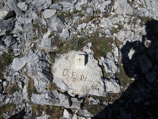 |
It's a geodetic marker. D.F.N. is the abbreviation of Diputación Foral
de Navarra, let's say the government of Navarra. So: they consider (I suppose) this very spot to be the exact place where the straight borderline coming from bm270 nods off 90 degrees and follows the ridge NNE to (the destroyed) bm271bis. |
But where is (was) bm271bis located? Let's show all the data on Google Earth. The blue line is the borderline.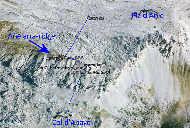 The Añelarra-ridge has two summits. Bm271 is at the western summit and nowadays we find a geodesic marker of Navarra, close to it (with D.F.N. on it = Diputación Foral de Navarra). That makes sense. The second summit is at ± 240m to the east and could make a logical location for bm271bis. Here we find today an iron plaque with the contour of Navarra and a large cairn. But the topographical and historical evidence is different! The original treaty only says that bm271bis is 360 meters from bm271 on the same ridge. But we have to acknowledge that the distances between the previous bordermarkers 262-271 – as mentioned in the treaty – are often unreliable. The location of bm271bis on the IGN-maps (though "détruite") is however ± 310m from bm271 when following the ridge. And that position makes more sense. The ridge descends and then bends slowly E in the direction of Pic d’Anie. It’s a logical/natural place for the borderline to leave the ridge and bend southwards and descend towards Col d’Anaye. Let’s zoom in: |
|
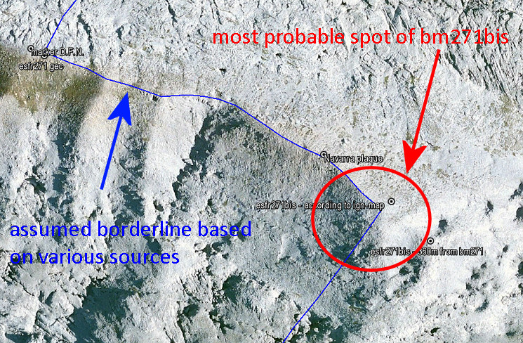 I have to return and do a new search, now focussed on the lower half of the red circle. The upper half and center of the circle, I searched thoroughly on 29 august 2012. Check these data for yourself on Google Earth with this kml-file |
|
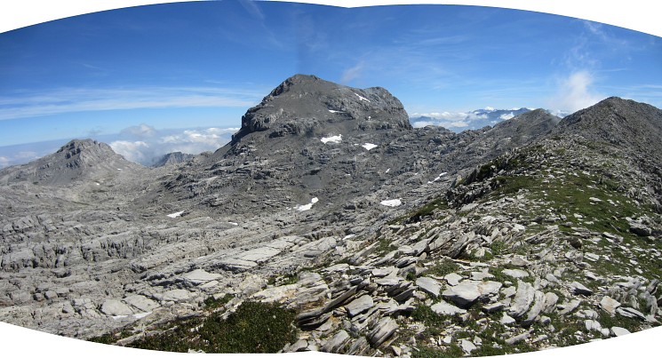 A nice panorama, looking to the E, with the magnificent Pic d'Anie. |
|
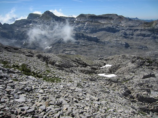 |
Then descendign back. In the
saddle between both hilltops, I search for a route back. There are no cairns but the direction down is obvious (S) and |
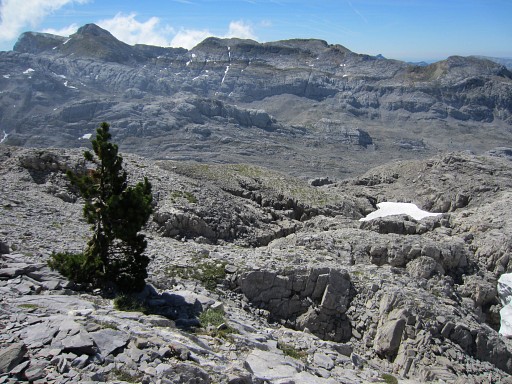 |
there’s a solitary tree as a landmark to descend to. |
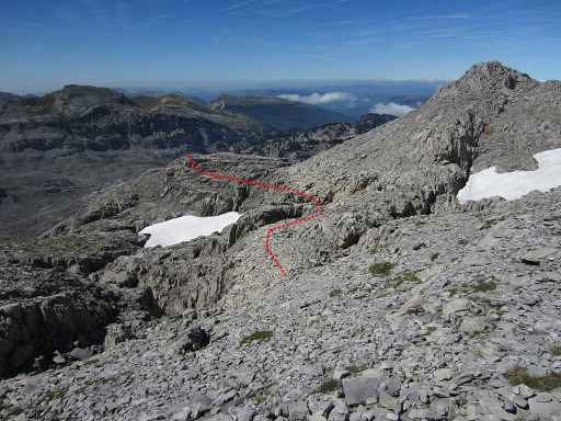 |
From there the cairns of the trail become visible again and the red line shows approximately the trail from here. |
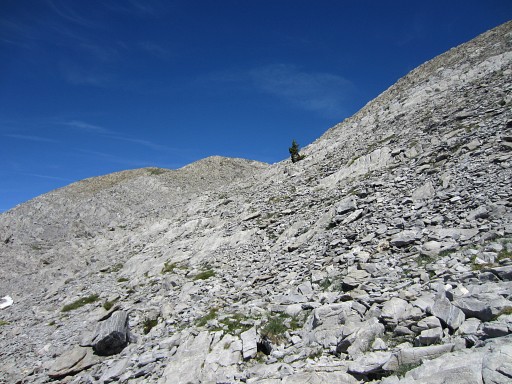 |
Looking back to the solitary tree. |
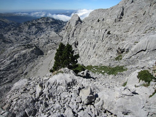 |
To my surprise, the descent is easier than I thought cq feared and takes ± 1h.
|
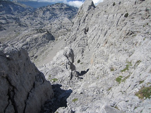 |
You have to be careful in places because of the loose grail but by
using my hands and walking stick, I didn’t feel uneasy or unsafe. This picture: the gully with its breach comes in sight. |
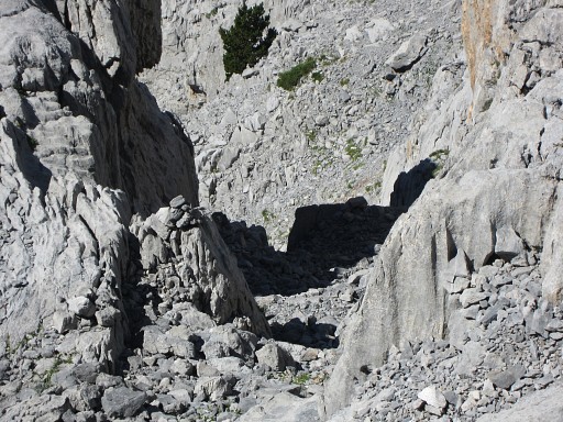 |
The narrow breach is no problem (but you shouldn’t be too fat and large backpacks have to be passed separately). I suggest to call this breach "la brèche d'Eef", a modest but everlasting testimony of my dwellings through the Pyrenees :-) |
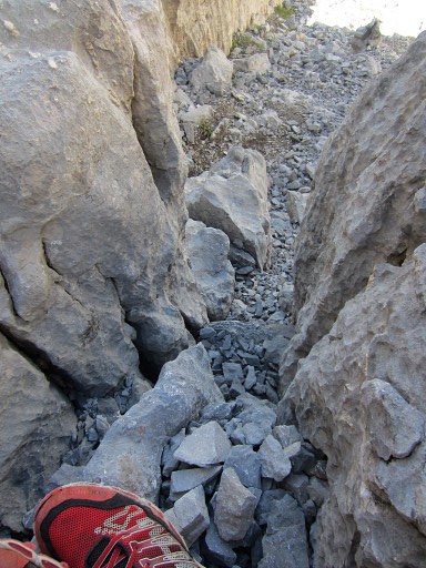 |
There are natural 'steps' to help you down this breach. |
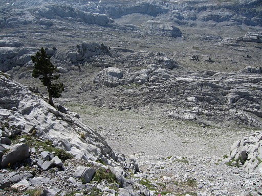 |
The last part of the descent comes in sight. |
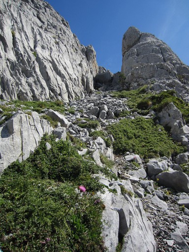 |
A last view back, up the gully with its breach |
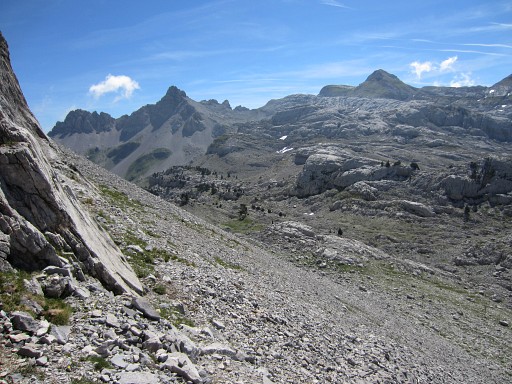 |
and then descending to the foot of the ridge and to the trail with the signpost. |
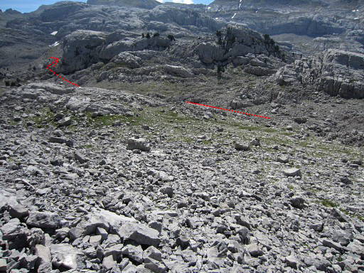 |
I wondered if there would be another alternative to reach bm272: around that giant rock. Bm272 is at the backside of that rock formation. |
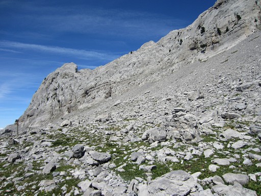 |
But first this view back. I'm at the yellow trail, to the left is the signpost. Back at the signpost a nice break in the silence and sun. |
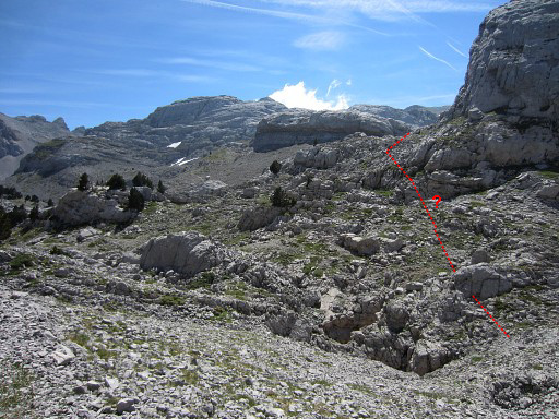 |
Then I do a short survey of the alternative access to bm272 around that giant rock. But I see that the terrain is rough and it's obvious that this has no advantage to |
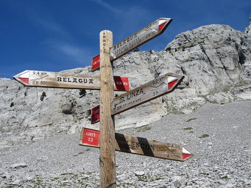 |
the trail I followed in the morning. So I return to the signpost and pick up the Belagua/Linza direction (=S) |
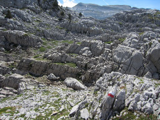 |
through the rough karst terrain |
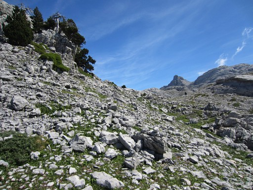 |
After ± 300m you'll arrive here (looking E). Leave the red/white trail and go left (=E) |
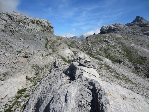 |
and follow some cairns to
bm272 (± 250m). That will take (signpost to bm272) ± 20 minutes. |
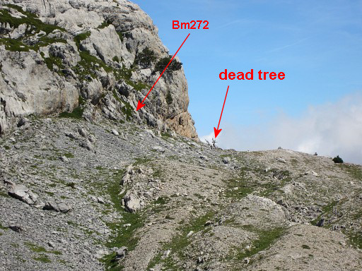 |
Spot the dead tree, bm272 is close. |
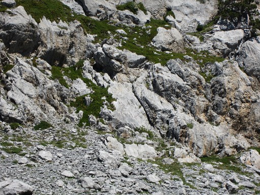 |
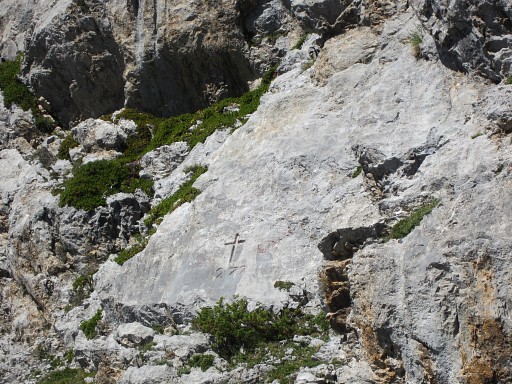
Bm272 |
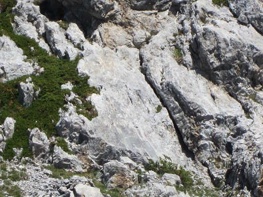 |
Bm272 |
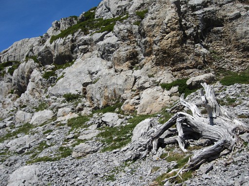 |
Bm72, the dead tree in front |
 |
Bm272 |
And
now it's time to put all this surveying of the route between bm271 and
272 in a greater perspective on this Google Earth-map: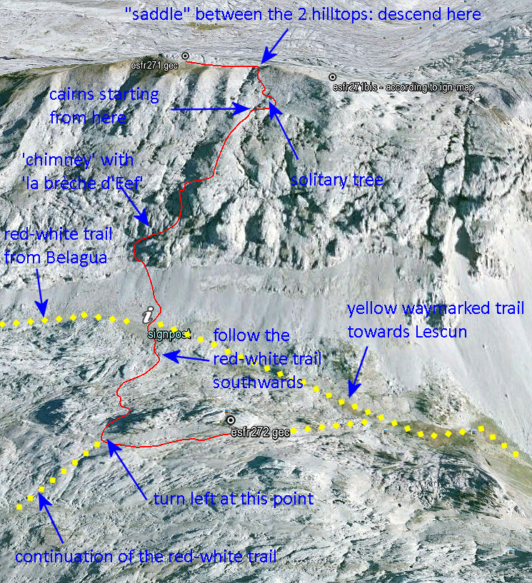 |
|
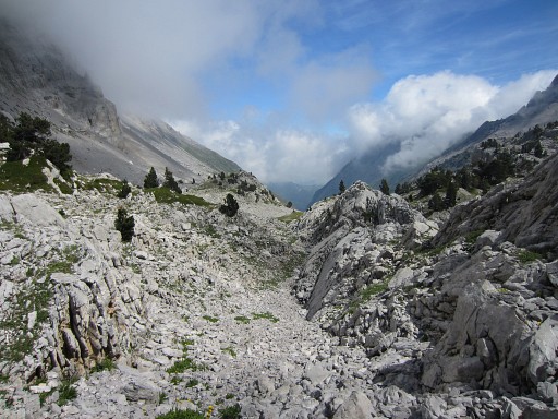 |
Enough for today, I continue E and descend to the valley. |
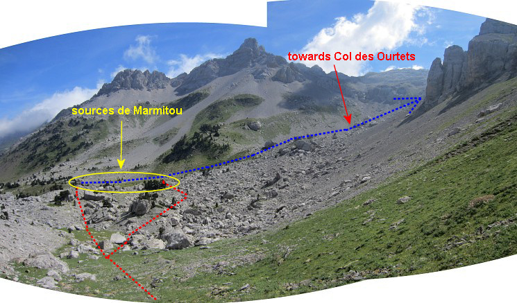 When reaching the rocky area which you have to traverse to get to the Sources de Marmitou, you have two cairn-waymarked routes to choose from. Take the left one, that one is shorter. The Sources de Marmitou offer fresh water and bivouac-opportunities. From the Sources, you can climb to Col des Ourtets and continue to the Table and Pic des Trois Rois. I return to Sanchèse and my car. |
|
However, there's one question left. If you are on Col d'Anaye - having visited
bm272 - and want to proceed to the Table des Trois Rois, isn't there a
shorter/faster route than descending to the Sources de Marmitou and
climbing to Col des Ourtets? Well, there seems one when looking at Google Earth and Topo Pirineos: the red trail. Check them for yourself on Google Earth with this kml-file.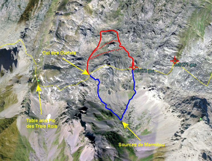 The red route picks up the GR12/GRT13-trail to Belagua/Linza and leaves that trail after ± 1km to bend to the left towards Col des Ourtets. There's -as far as I know - no trail on that second part. Data: 2,6km; elevation gain/loss: 201/116m; estimated time (Naismith's rule): 1.05h. A shorter & faster red route might be possible (the red dotted lines) but only a survey in the terrain can tell this. The blue route descends along a trail to Sources de Marmitou (fresh water and bivouac-spots) and climbs on a well trail to Col des Ourtets. Data: 2,3km; elevation gain/loss: 310/225m; estimated time (Naismith's rule): 1.17h My advice: for now: choose the blue route: it offers well waymarked trails, water supplies, bivouac-spots and more safety. A red shortcut could be faster but needs a survey first. Maybe next year. BUT: Jacques Koleck reported me in jan. 2014 that he - to get from bm272 to Col des Ourtets - simply followed the approximate borderline "sans problème" ........ |
|
 previous
trip next
trip previous
trip next
trip 
|
|
