|
The
bordermarkers of the Pyrenees : all my trips
|
|
| -
thursday 10 april
2014 - Over the Comanegra  previous
trip next
trip previous
trip next
trip  |
 |
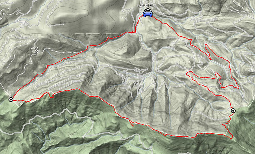 |
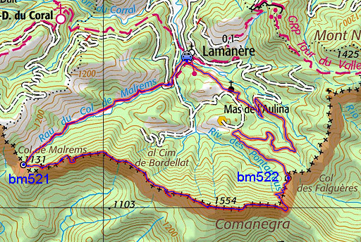
esfr-trip-track-20140410.kml (click to open this trip in Google Earth or copy link to Google Maps; click right on this link to download gpx-version) Summary: part of a 6-days trip to the Eastern Pyrenees, exploring routes between bm521 and bm545. Basecamp: the camping municipal in St-Laurent-de-Cerdans. Day 2: a roundtrip from Lamanère to re-walk and gps-track the route from bm521 to bm523 Weather: sunny, nice temperature |
 |
For
explanation of
the gps-coordinates and other cartographic backgrounds: see the cartography-page Start:10h, break: 13.45-14.15, finish: 17.30, net walking time: 7h According to the gps-tripteller: Distance: 20,1 km Total ascent: 906m Total denivellation: 1812m Maximum height: 1556m Total time: 7.29h |
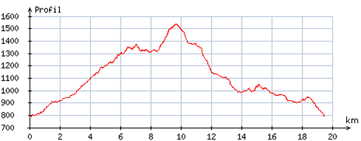 |
According
to visugpx - distance : 19.7 km - cum. elevation gain : 927m - cum. elevation loss : 927m - total elevation: 1854m - altitude maxi : 1538m - altitude mini : 789m - altitude average : 1178m |
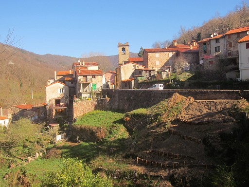 |
Starting-point: the pretty village of Lamanère. I walk up the winding road which leaves the village at the S. |
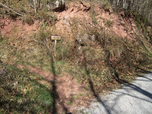 |
The waysigns to Col de Malrems (bm521) are easy to find. |
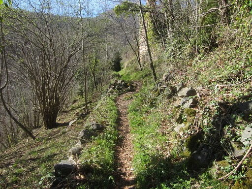 |
Then it's an easy walk (±1h) to the Col on a well track. |
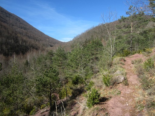 |
Col de Malrems already visible |
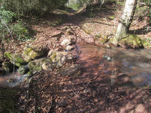 |
In the beginning I pass some streams, higher up: none or dry. |
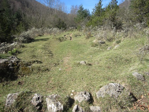 |
This could be a bivouac-spot, it's ± 2km (denivellation -250m) from the Col. Note: at the Col de Malrems there's enough flat space to camp there (Jan-Willem and I did that on 21 april 2007 but there's no water there. By the way, from this spot you have to descend probably further to find a stream. |
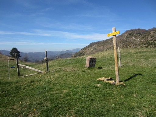 |
Having arrived at Col de Malrems with bm521 |
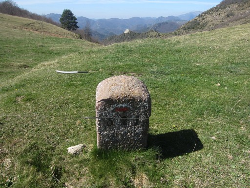 |
Bm521 |
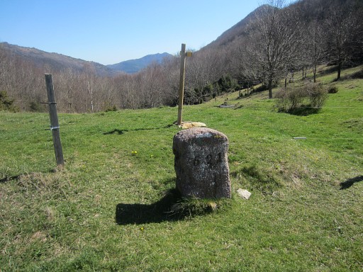 |
Bm521 |
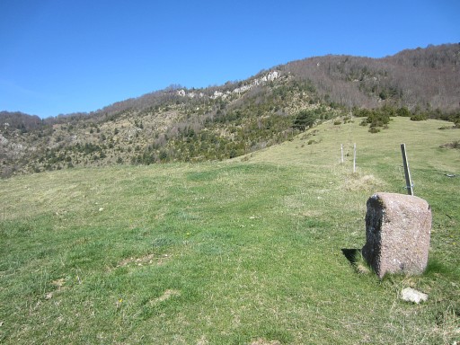 |
Bm521, looking NW |
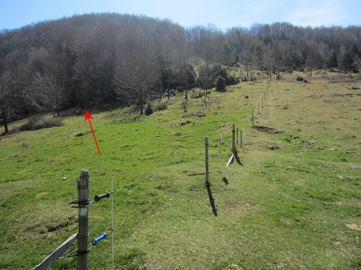 |
Looking SE from bm521 From Col de Malrems, the trail along the borderridge eastwards starts at the French side, SE from bm521 |
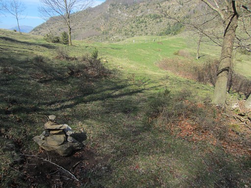 |
Soon you'll reach this cairn. In the distance Col de Malrems and bm521 where we came from. |
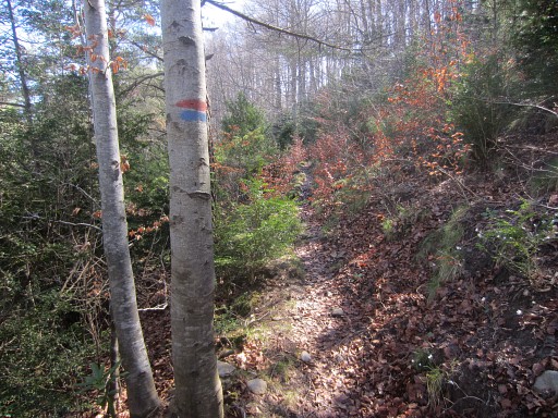 |
Now
and then, the trail is waymarked with red/blue waymarks and |
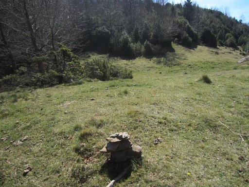 |
also cairns. |
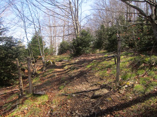 |
In general, wayfinding is no problem. |
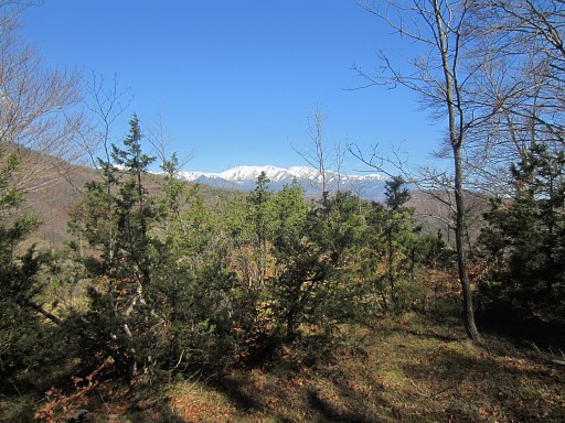 |
A large part of the trail is
underneath the ridge on the French side. This picture: looking at the Canigou (I think), still snowcapped. |
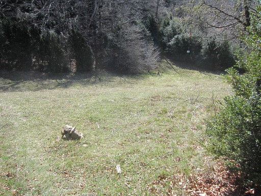 |
Another grassy passage with cairns to help you. |
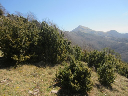 |
Then
the hilltop of Comanegra comes in sight |
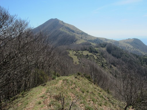 |
as a peak with grassy hillsides
at the S and forested at the N-side. |
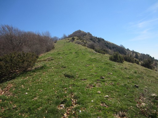 |
When coming closer to the Comanegra, the
waymarked trail however crosses the ridge and enters into Spain. It seems as if it will traverse underneath the Comanegra. |
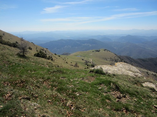 |
In fact it descends to the road down below |
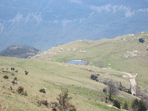 |
with this waterbassin. Well, don't do this. Keep to the ridge and climb directly along the ridge towards the Comanegra. |
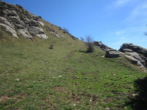 |
New trails will appear and lead you along and underneath the subpeaks of the Comanegra |
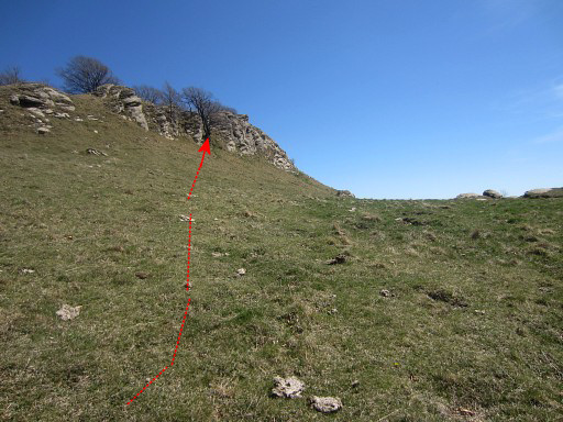 |
until the final climb to the real summit of Comanegra. |
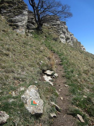 |
A green/orange-waymarked trail appears and takes you to the ridge |
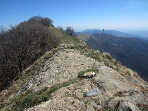 |
and brings you further on |
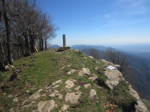 |
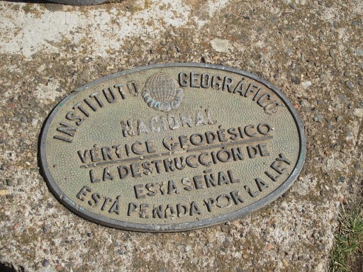
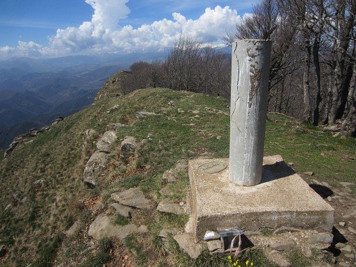
to the real Comanegra with its geodesic pillar. |
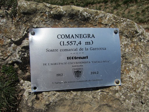 |
and this plaque as a proof. |
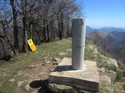 |
The geodesic pillar |
 |
is a nice spot for a break. |
 |
At its base |
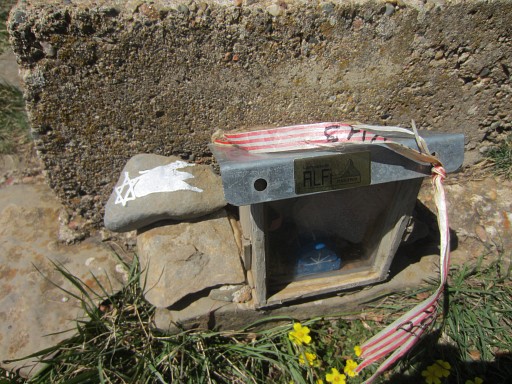 |
this funny little puppet cabin, |
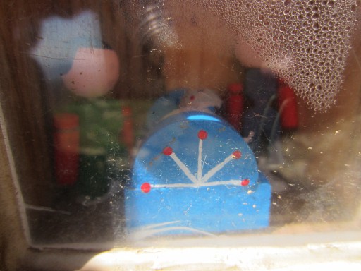 |
Meaning? |
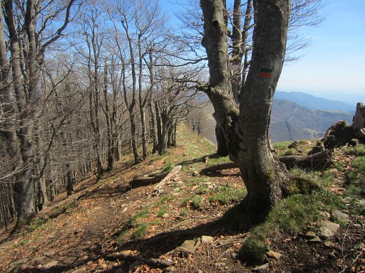 |
Then
continuing on the green/orange trail |
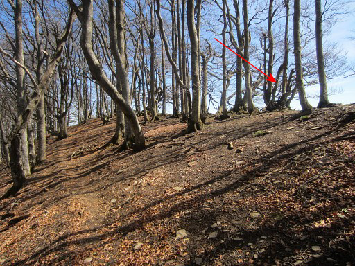 |
which passes underneath |
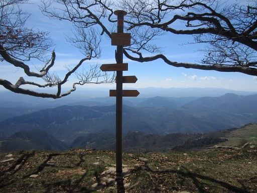 |
this information post which |
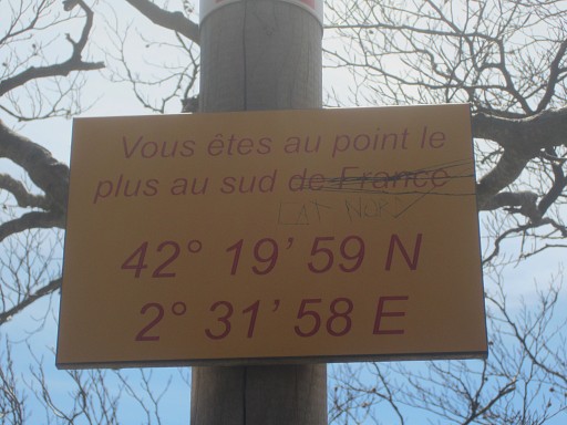 |
tells us that this is the most southern point of France! |
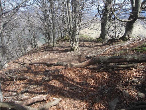 |
I think I remember this spot. On 22 april 2007 Jan-Willem and I didn't keep to the ridge but descended to the road and water-bassin. But then we had to undertake a very tough & steep climb to get on the ridge back again. At this horizontal tree we recuperated. |
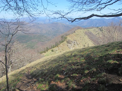 |
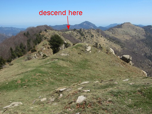
Then the trail descends considerably to a lower level of the ridge. I know that at a certain point on the ridge I have to bend left and decend to the N. Afterwards, I can establish on these pictures (combining the next pictures and Google Earth) where to descend. |
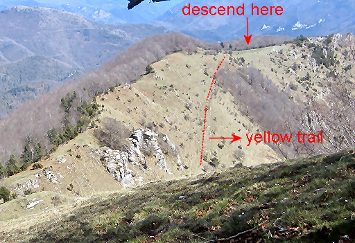 |
Let's zoom-in to the crucial part: |
 |
I'm now at the lower ridge. |
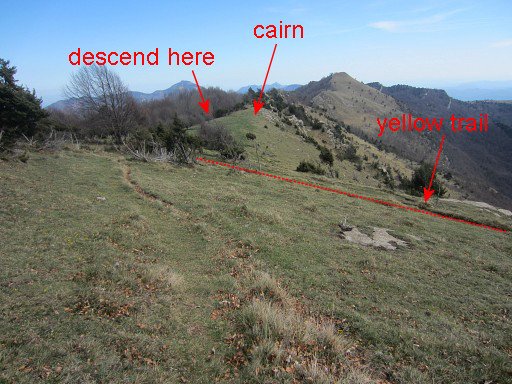 |
While continuing along the ridge, for me it's still the big question: where to bend N and descend in the direction of bm522? |
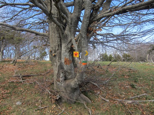 |
Well, even without the pictures above it's not difficult: suddenly yellow waymarks appear. That's when a trail coming from the W merges with our green/orange trail |
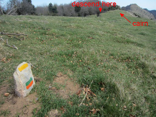 |
melting together for a while |
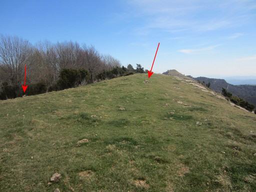 |
Then, some
75m further on, cairns direct you to the left side of the ridge |
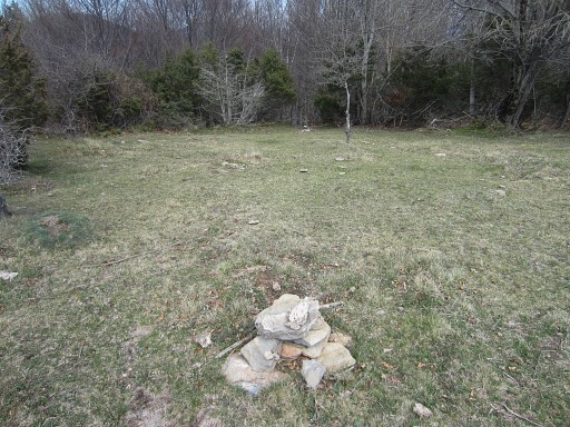 |
Without these cairns, it would't be obvious where to bend left and descend into the forest. |
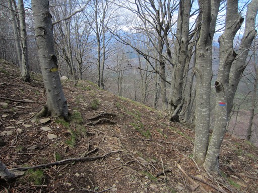 |
where
the yellow trail descends. Soon also red/blue waymarks appear and become dominant. The trail descends NNW along the forested hillside, then descends further in large lacelets, |
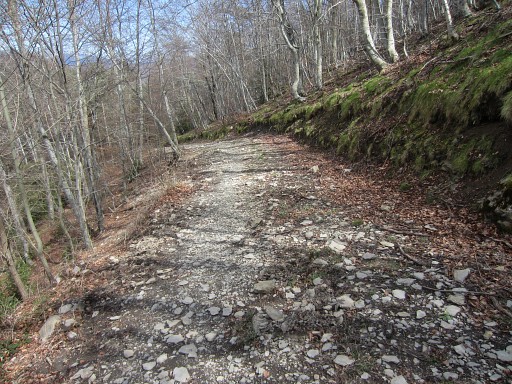 |
becoming broader and |
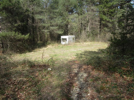 |
ending at a dirtroad with this caravan. |
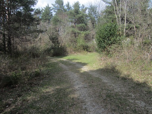 |
Go
right and after 150m, there's a grassy open space to your right.
You have to enter it (as the yellow and red/blue waymarks do). |
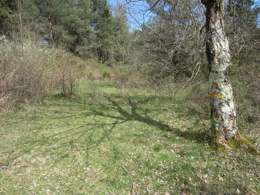 |
Note the yellow waymark on the tree |
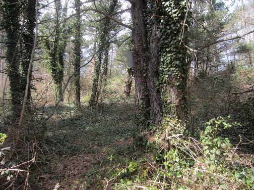 |
Then go left on a path through the forest which brings you |
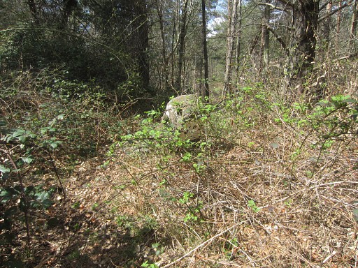 |
in 40m to bm522 |
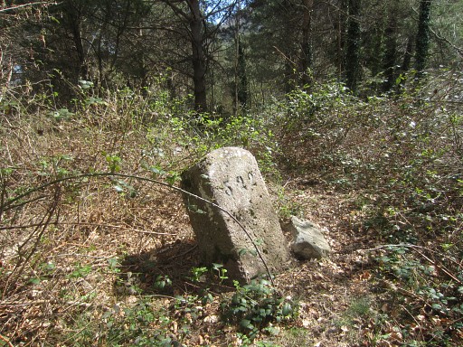 |
Bm522 |
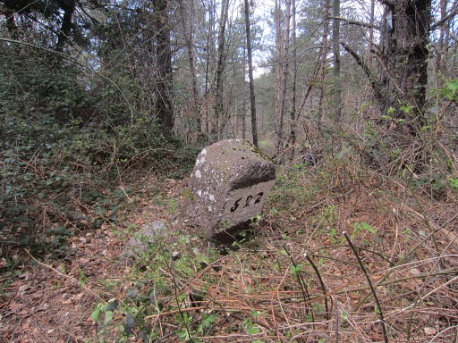 |
Bm522 after some cleaning/cutting up |
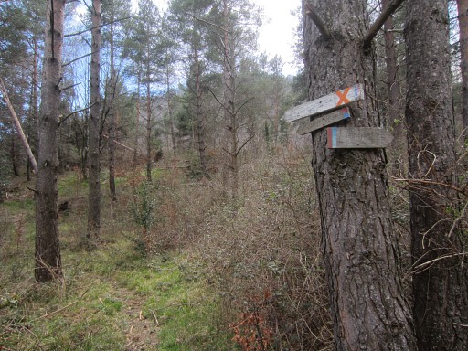 |
A bit further, the path arrives at a rectangular open grassy space. There are some signs at this point (we're looking back in the direction of bm522) |
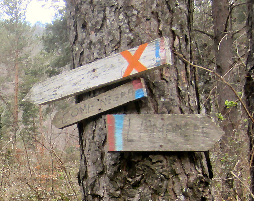 |
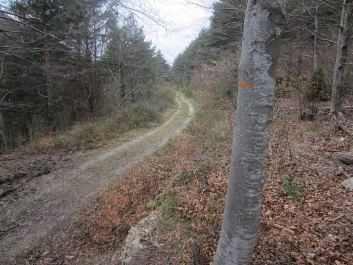
Let's zoom in: the red/blue trail is apparently a trail between Lamanère and Comanegra. |
 |
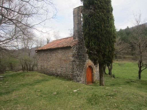
I decide to return to Lamanère. To continue to bm523 and then go back to Lamanère will take too long, I think. |
 |
But
the descent to Lamanère takes me more time (2h) than I expected. A more direct route seems blocked by private roads and wayfinding is not easy on these winding mountainroads. The gps-maps on my smartphone are again very helpful. Back in St-Laurent-de-Cerdans, I treat myself with a pizza. |
 previous
trip next
trip previous
trip next
trip  |
|
