|
The
bordermarkers of the Pyrenees : all my trips
|
|
| - monday 20 april
2015 - Spring over the Cerdagne  previous
trip next
trip previous
trip next
trip  |
 |
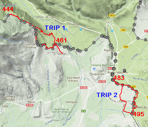 |
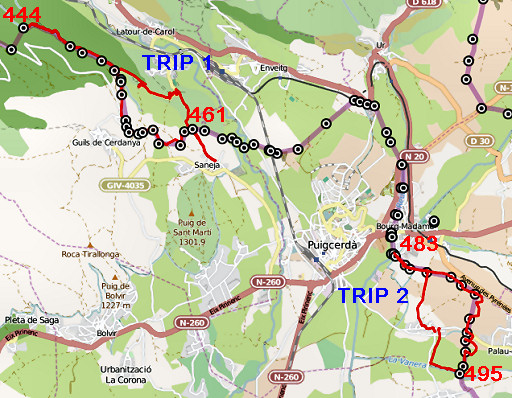
Summary: the second of four daytrips around Puigcerda, re-doing the
444 to 505 bordermarkers to check coordinates and wayfinding. Today: doing two roundtrips. The first from Saneja covering bm444 t0 bm459 and the second from Agg, doing bm483-495. Weather: it's a nice sunny day, nature is blossoming but the vegetation is mostly still in winter's rest so the bordermarkers are more easy to find and to photograph. |
 |
For
explanation of
the gps-coordinates and other cartographic backgrounds: see the cartography-page The gps-tracks have not been manually corrected which explains the inaccuracy and misalignment at some points. |
|
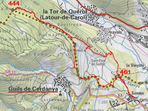
Trip 1: bm444-459 track-20150420-trip1.kml (click to open this trip in Google Earth or copy link to Google Maps; click right on this link to download gpx-version Started at 10.00, ended at 14.45 According to the gps: - distance : 12,3 km - total elevation: 640m - maximum height: 1531 - total time: 4.45 |
 |
I drive to Saneja and walk down the dirtroad
between bm460 en 461. Further on, an intended shortcut uphill to a tarmac road is fenced off.
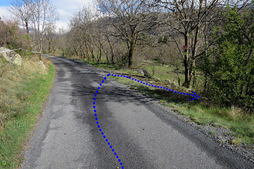
So I make the inevitable detour which is in fact no big deal. This picture: having arrived at the tarmac road and looking back to where a trail branches off to the right to proceed to Saneja. NB: the blue and red lines on the pictures: that's the 'official' course of the GRPdesBF but not necessarily how I walked today. |
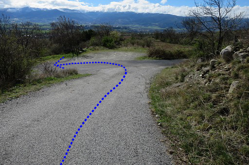 |
Then continuing on a winding road/dirtroad proceeding to bm444. This picture: looking back on one of the bends. Actually where a trail descends directly to a dirtroad (shortcut) but is not appropriate for the main route of the GRPdesBF because it is fenced off. |
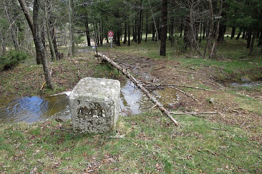 |
After traversing a forest, I arrive at bm444. |
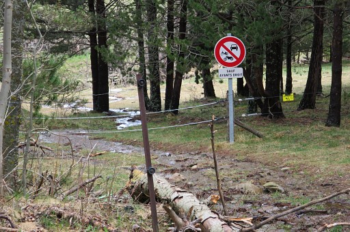 |
A new sturdy fence has appeared since my last visit. From bm444 you have to pass the gate and then go right along the fence towards bm445. |
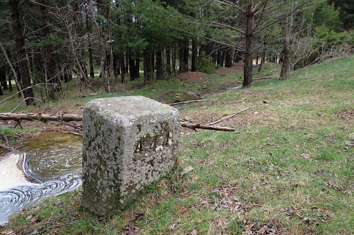 |
Bm444 |
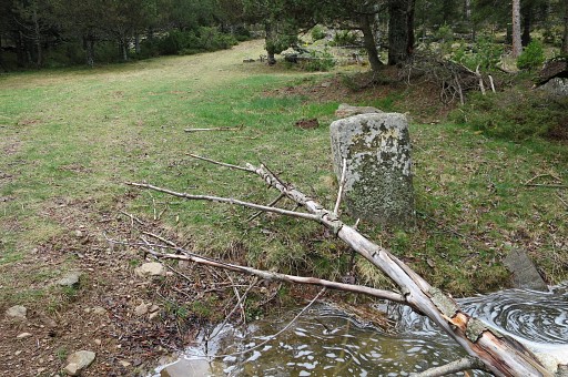 |
Bm444, looking S |
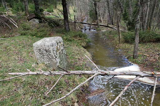 |
Bm444, looking W |
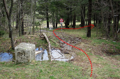 |
To go from bm444 to 445: pass through the fence-gate and go right, heading E along cq parallel to the stream & fence. Cattle trails help a little. |
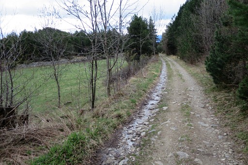 |
You will get to a dirtroad which further E (after 500m) arrives at this meadow to the left. |
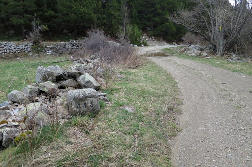 |
Bm445 is further on at the first bend where the dirtroad makes two bends. |
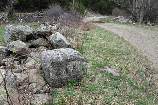 |
Bm445 |
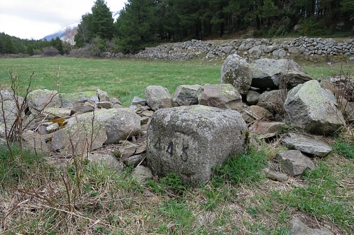 |
Bm445 |
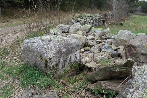 |
Bm445 |
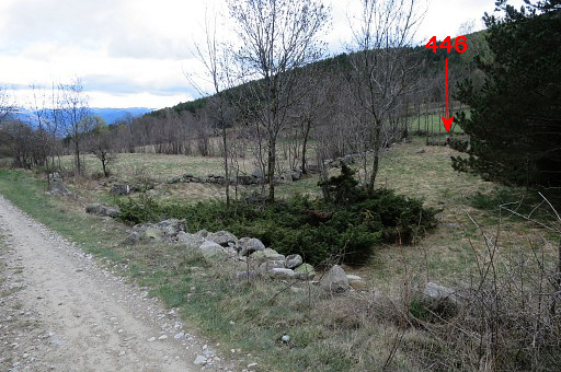 |
Then the dirtroad passes through a piece of forest and a meadow appears at your right hand. That's here. Bm446 is a short stretch from the dirtroad and in this season well visible from the dirtroad. |
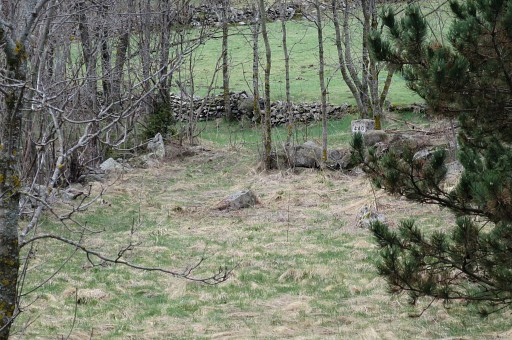 |
Zoom-in to bm446 |
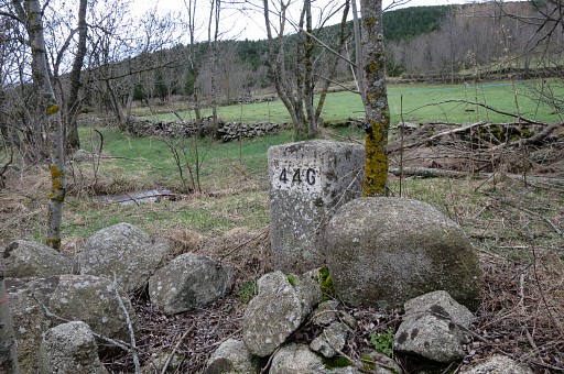 |
Bm446 |
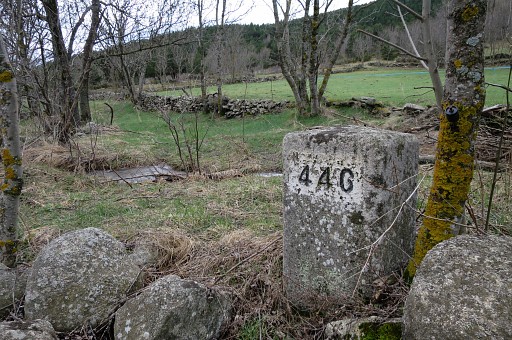 |
Bm446 |
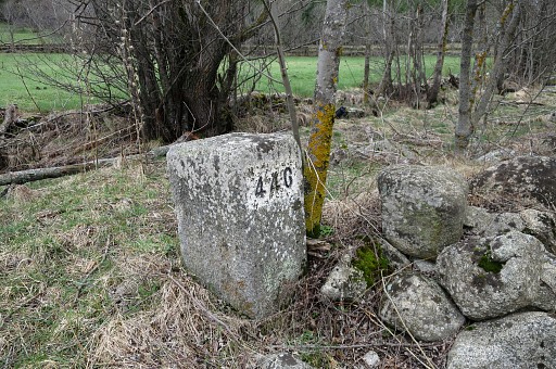 |
Bm446 |
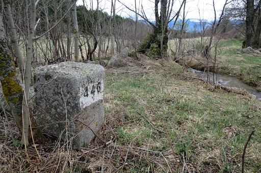 |
Bm446 I return to the dirtroad. |
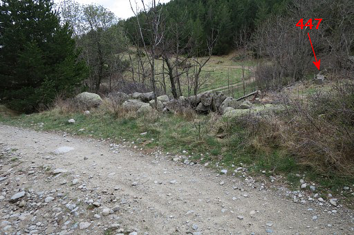 |
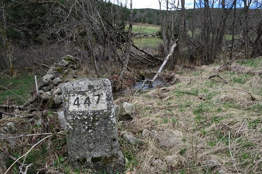
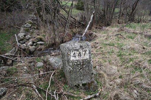
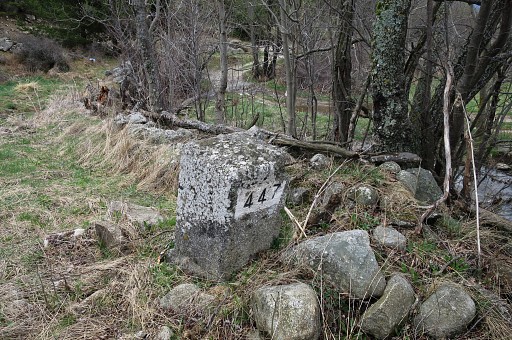
Bm447 is 400m further along the dirtroad, also at a little distance of the dirtroad. It's easy to locate: it's where a branch of the dirtroad goes right. Also bm447 is well visible from the dirtroad (in this season). |
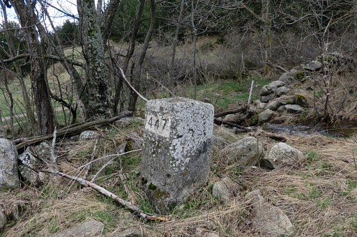 |
Bm447 |
 |
Bm447 |
 |
Bm447 |
 |
Bm447 Back to the dirtroad and continuing 25om until |
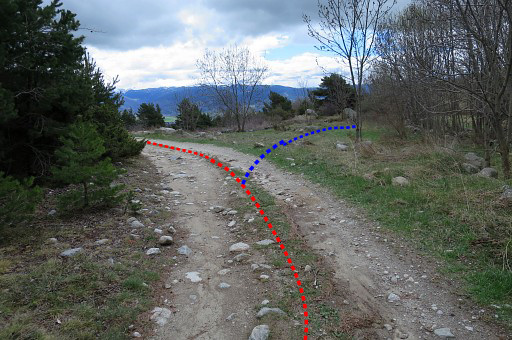 |
the dirtroad bends to the left. That's here. Bm449 is to the right but not visible from the dirtroad. |
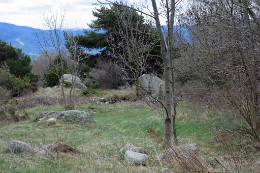 |
Let's zoom in and show where you can find bm449 |
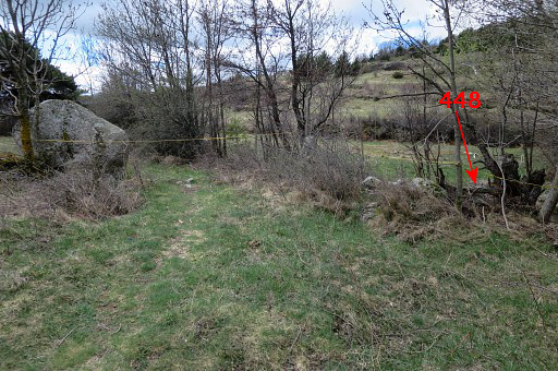 |
Now bm448 comes in view. |
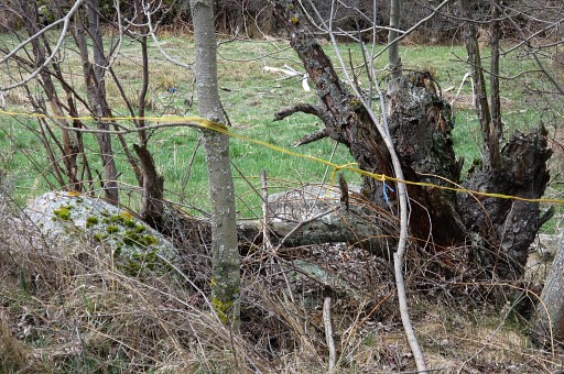 |
Zoom-in |
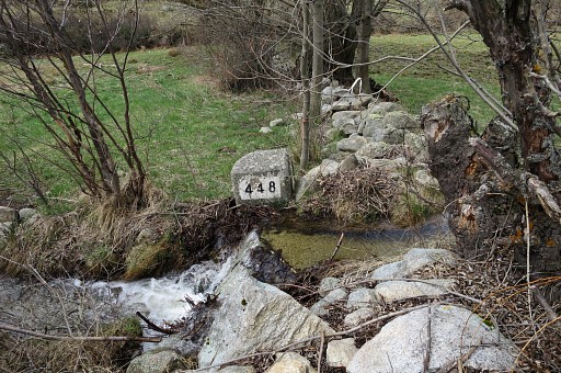 |
Bm448 stands at the other side of a stream. |
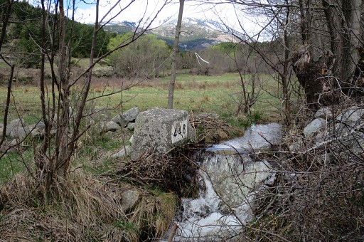 |
Bm444 |
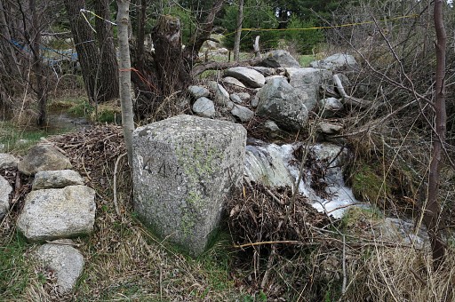 |
Bm448 |
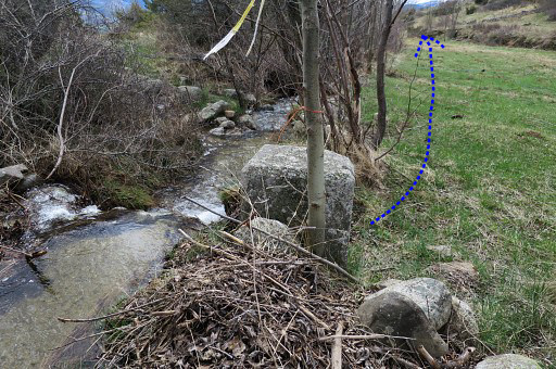 |
Bm448. Then along the stream at its W-side towards bm449. |
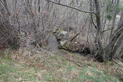 |
There's bush along the stream but where bm449 is, you can descend easily to it. It's about 200m from bm448. |
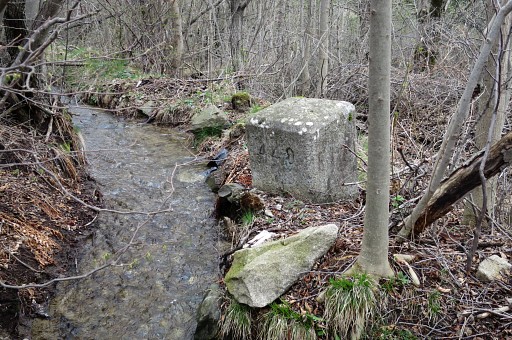 |
Bm449 |
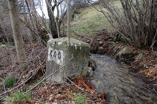 |
Bm449, looking uphill from where you can reach this bm. From bm449 it's a short climb S or better SSE (50m) to |
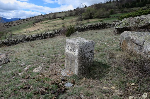 |
bm450. It might be a bit difficult to spot between the rocks lying in the field. |
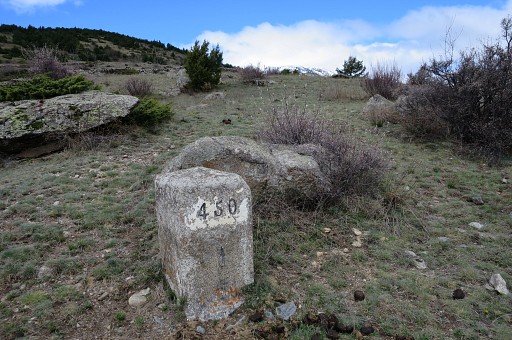 |
Bm450 |
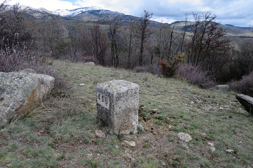 |
Bm450 |
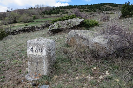 |
Bm450 |
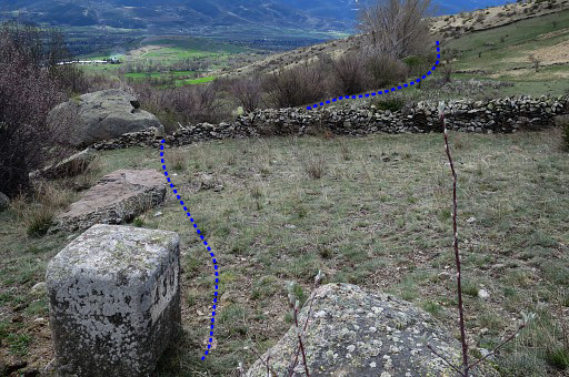 |
Bm450 I cross the stone wall and continue S on the W-side of the hedge (which is easier than on the E-side) to bm451 |
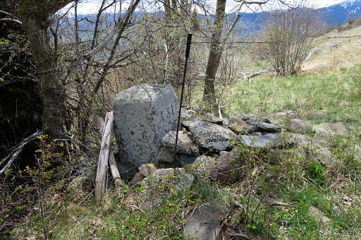 |
Bm451, in the corner of the next field (250m from bm450) |
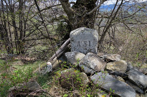 |
Bm451 |
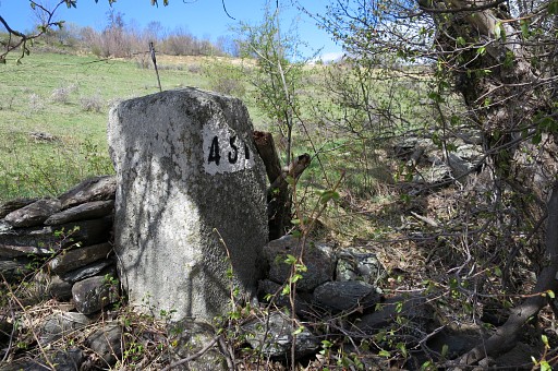 |
Bm451 |
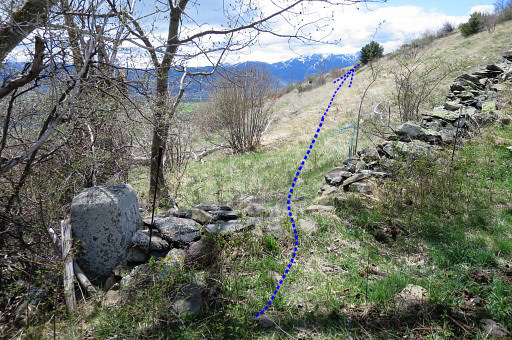 |
Bm451 From bm451 head S towards th big tree, visible on this picture, |
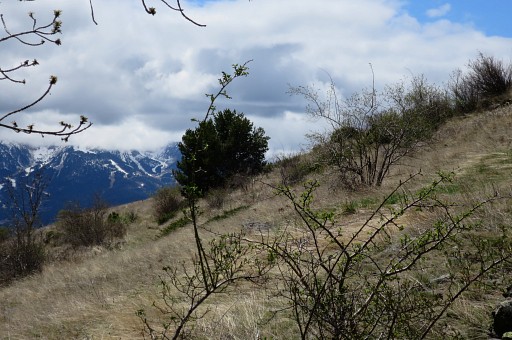 |
where a track appears at the left side of the tree which ends 200m further |
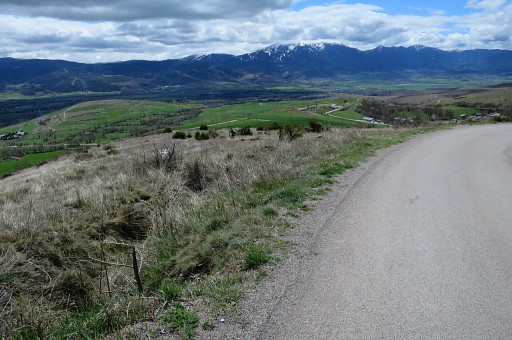 |
at a tarmac road where |
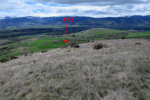 |
bm452 is SE in the field. |
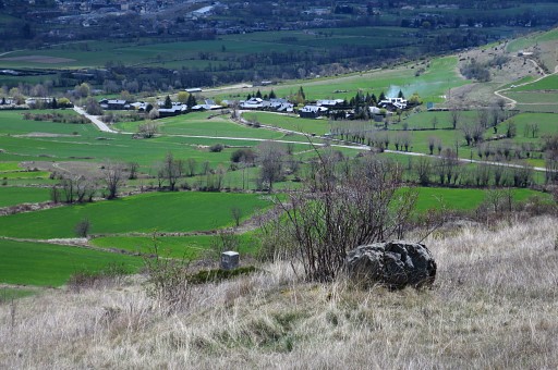 |
Zoom-in Head straight through the field to |
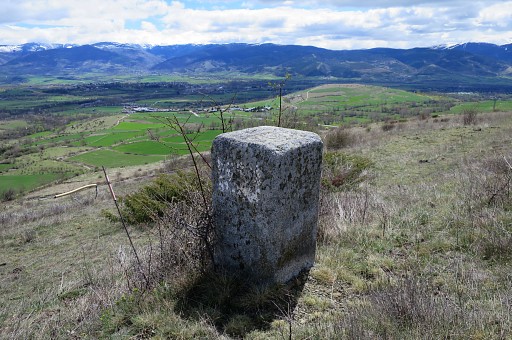 |
bm452 |
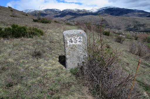 |
Bm452 |
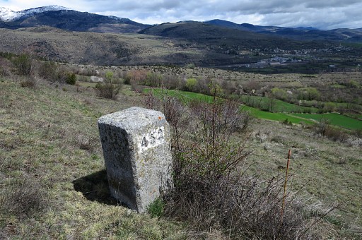 |
Bm452 |
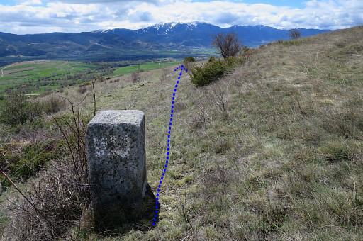 |
Bm452 Then along a fence going S towards bm453 |
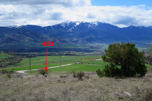 |
which becomes visible on this picture. |
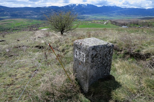 |
Bm453 |
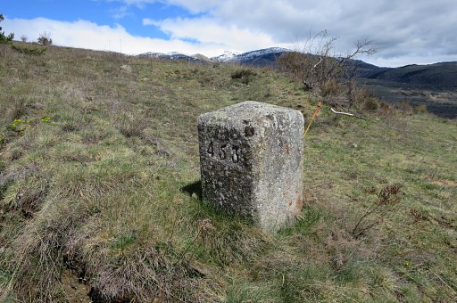 |
Bm453 |
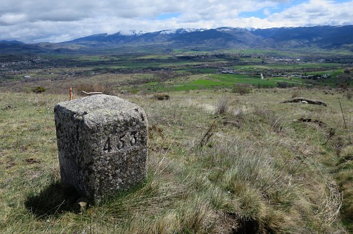 |
Bm453 |
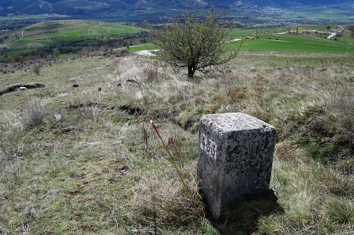 |
Bm453 Shortly afterwards I join the road again (visible aheda on this picture) |
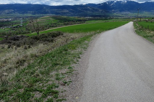 |
and on this road, I leave it immediately again to search for bm454 |
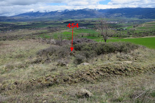 |
which is hidden in this bush and might be difficult to reach in summertime. Don't forget your pruning shears. |
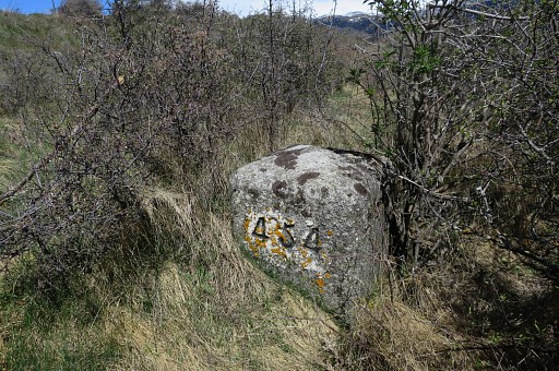 |
Bm454 |
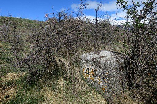 |
Bm454, you can spot the traffic sign along the road. Now the borderline descends E in a sort of ditch or trench, full with pricky undergrowth. So you'd better descend on the S-side along a field-edge. |
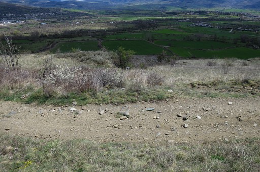 |
I pass this dirtroad |
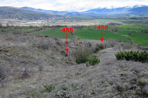 |
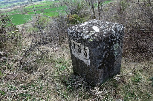
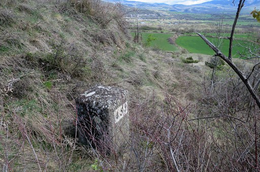
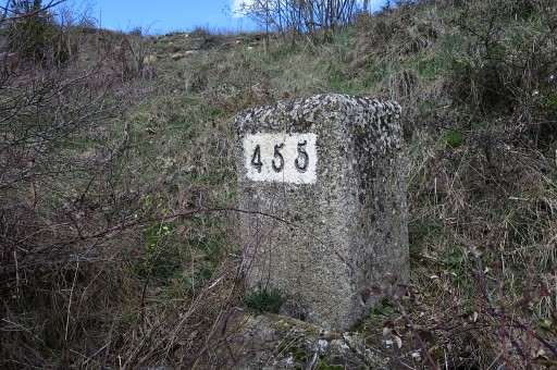
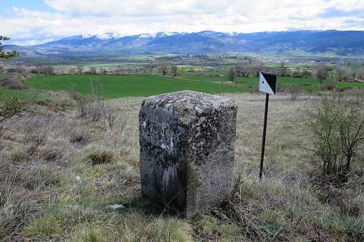
and find bm455 further in the ditch. Both bm455 and 456 are already visible on from this spot. |
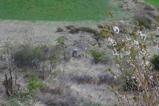 |
Zoom-in to bm456 |
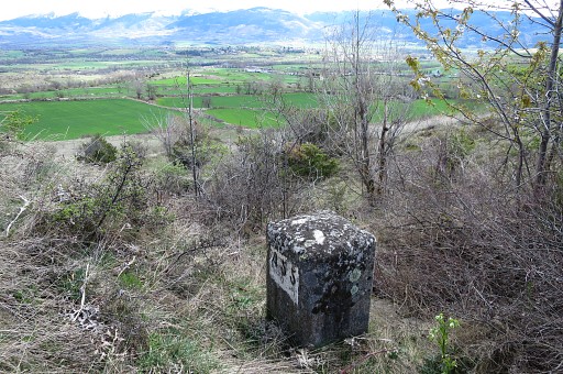 |
Bm455 |
 |
Bm455 |
 |
Bm455 |
 |
Bm455 Bm456 is not far away, 75m to the NEE. |
 |
Bm456 |
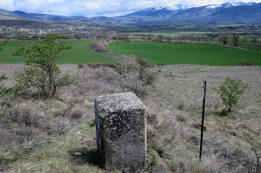 |
Bm456, looking forward |
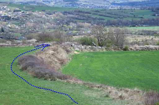 |
and zooming-in to the field to cross to get to bm457. You have to go NEE along the field hedge (= to the left of it) |
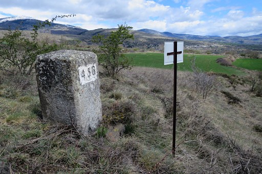 |
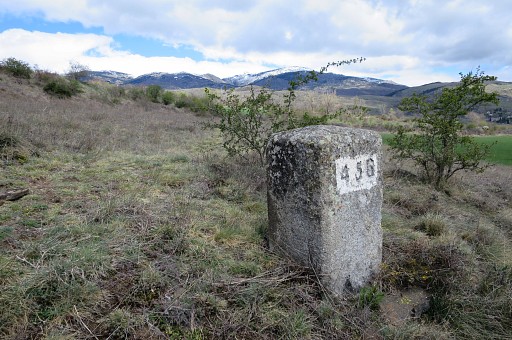
But first some more pictures of bm456. |
 |
Bm456 |
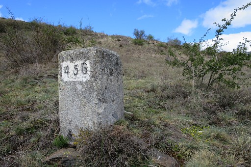 |
Bm456 Then I continue NEE to a field and go left along the field hedge to |
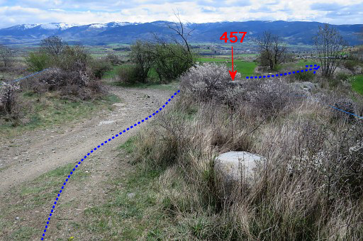 |
a dirtroad. This picture: having arrived at the dirtroad, bm457 is immediately to the right but hidden in the bush. |
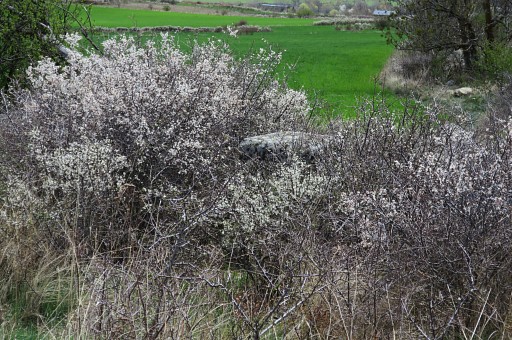 |
Zoom-in |
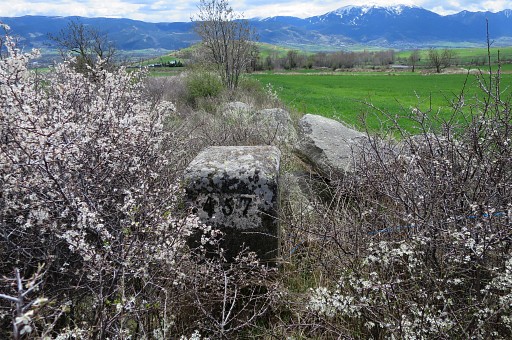 |
Bm457, looking S |
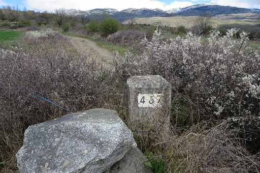 |
Bm457, looking N From here SSE along a field-edge to |
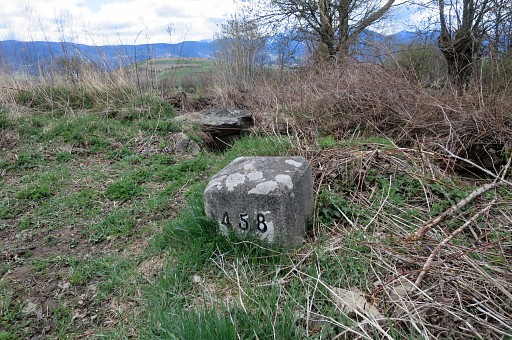 |
bm458 in the S-corner of the field. |
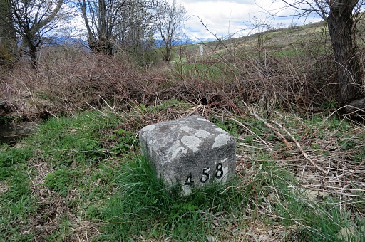 |
Bm458 |
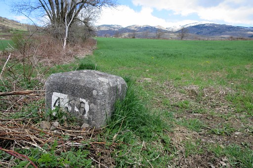 |
Bm458 Then 25m NNE, getting out of the field going NE-SE |
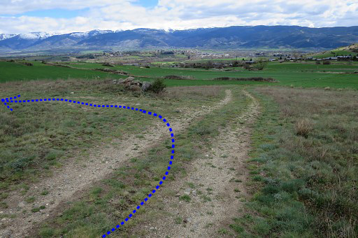 |
on a dirtroad and after 150m going left (that's here, be attentive not to miss it) |
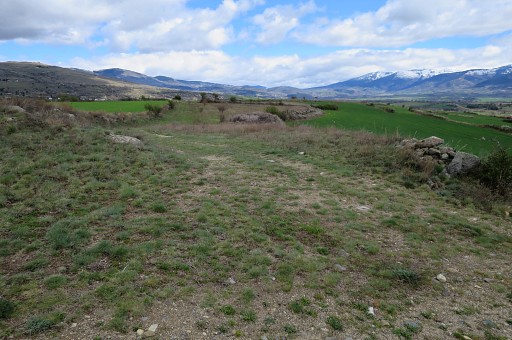 |
on a vaguer dirtroad to connect (after 150m) with a more distinct dirtroad. |
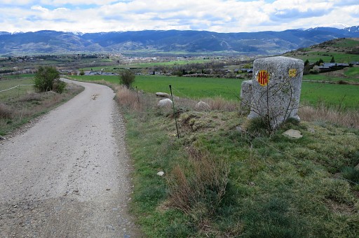 |
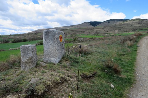
Then, bm459 is 125m to the right. |
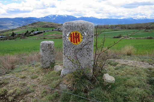 |
Bm459, with the catalonian flag painted over the number by separatists cq vandalists |
 |
Bm459 |
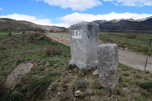 |
Bm459, backside |
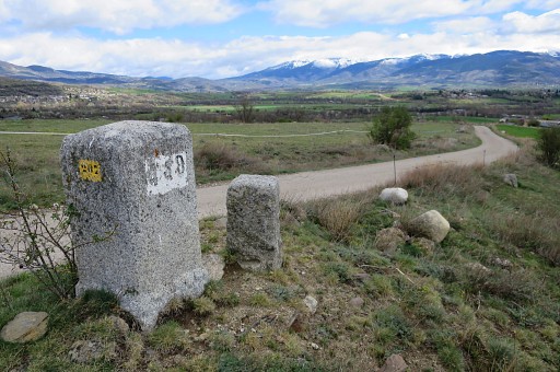 |
Bm459 |
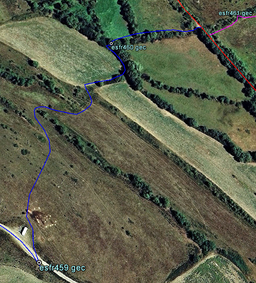 |
Now, from bm459, I cross the dirtroad and enter NNW a field. Getting to 560 is a bending descent through this field (this GE-map shows that well). |
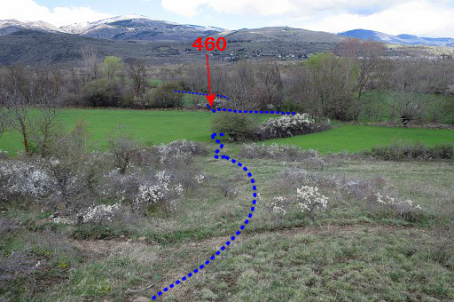 |
This picture: already descended and having made the first bend. In the distance I can already see the spot of bm460. |
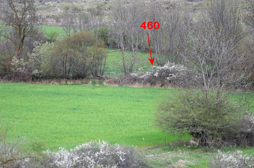 |
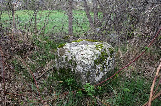
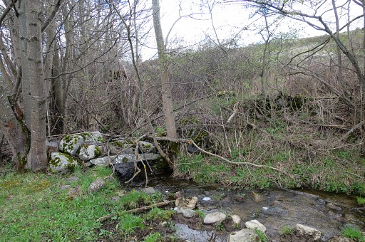
Bm460 is right at the division of two meadows |
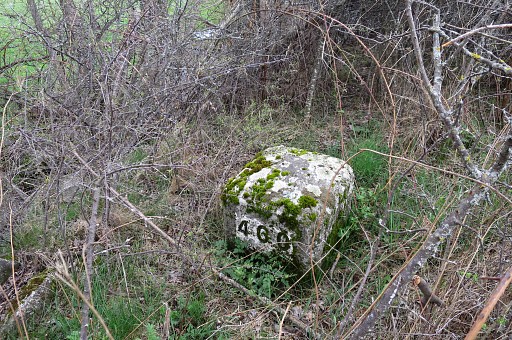 |
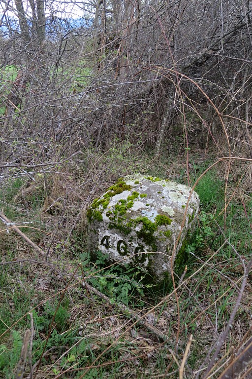
and hidden in the bush and probably difficult to reach in the summer. |
 |
Bm460 |
 |
Bm460 |
 |
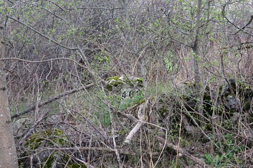
Bm460, seen from the meadow to the N. |
 |
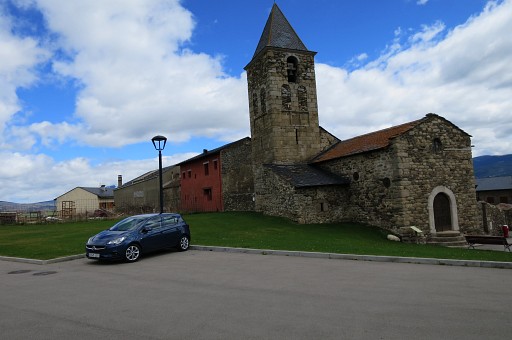
Zoom-in to bm460. Then proceed NEE on the N-side of the meadow-division (is easier than the S-side which I tried first) and reach the dirtroad between bm460 and 461. |
 |
On the dirtroad, I go right and return to Saneja where my (rented) opel corsa waits. Then driving to Agg for the second trip. |
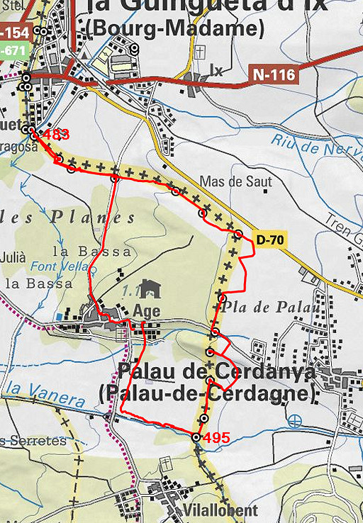 |
Trip 2: doing bm483-495 track-20150420-trip2.kml (click to open this trip in Google Earth or copy link to Google Maps; click right on this link to download gpx-version Started at 15.00, ended at 17.45 According to the gps: - distance : 8 km - total elevation: 134m - maximum height: 1183m - total time: 2.50h |
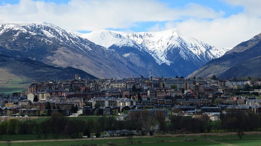 |
I park my car in the village of Agg and walk on a dirtroad to bm486. To the left this (telezoom) view of Puigcerda. |
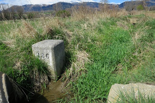 |
Bm486 is an easy find along the dirtroad |
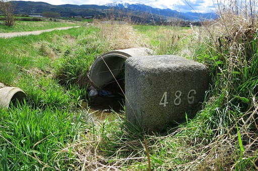 |
as this picture shows better but not as good as |
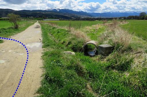 |
this one. From here I will go hence & forth to bm483 (passing bm485 and 484) which is an easy navigation along field-edges. NB: the blue lines on the pictures: that's the 'official' course of the variant of GRPdesBF along these set of bm's but not necessarily how I walked today. |
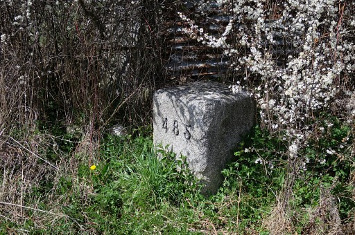 |
Bm485 |
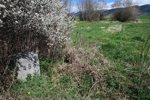 |
Bm485, looking back E |
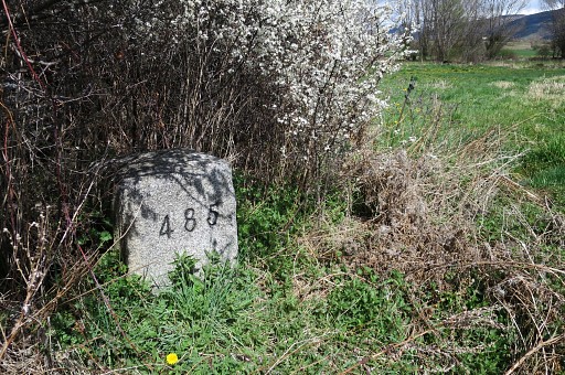 |
Bm485 |
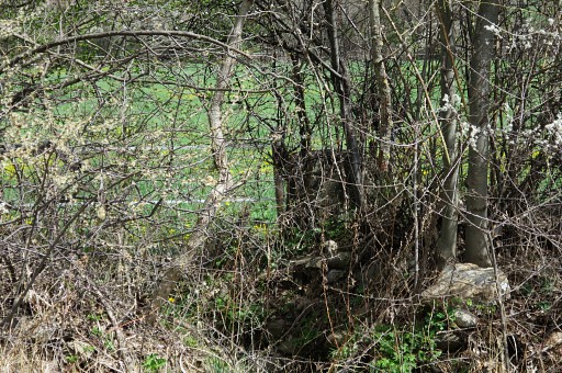 |
Bm484 is in the corner of a meadow but behind a hedge. |
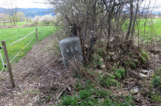 |
Bm484 might be hidden in summertime but its spot is very clear. |
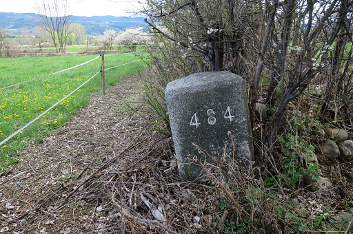 |
Bm484 |
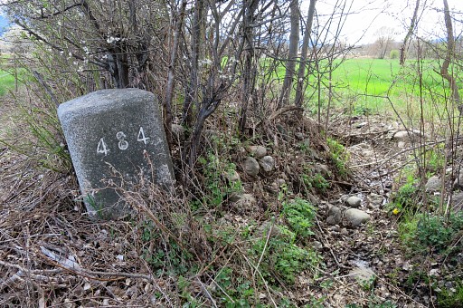 |
Bm484 |
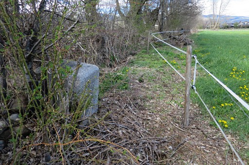 |
Bm484, looking N |
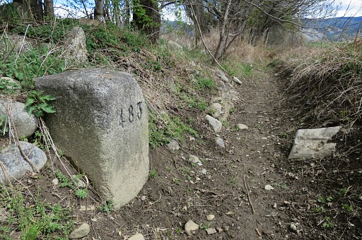 |
Then further NW along the field: bm483 (looking SE) |
 |
Bm483 |
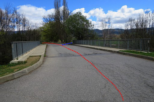 |
This is the bridge just NW of bm483. Coming from bm482-fr, you have to cross the bridge. The main route of the GRPdesBf |
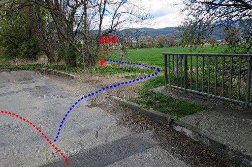 |
then turns left. The variant along bm484-495 (bm483 'belonging' to the main route because being in a 100m reach of it) starts to the right. |
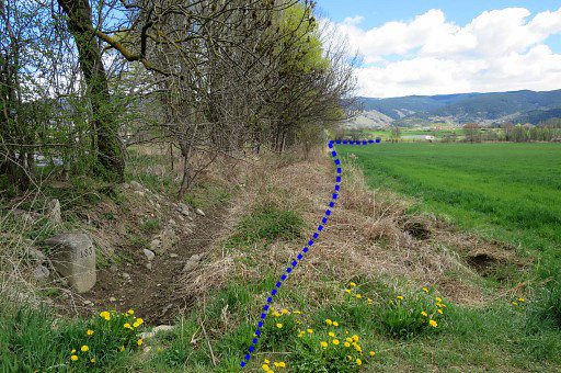 |
Bm483 is just 'around the corner'. |
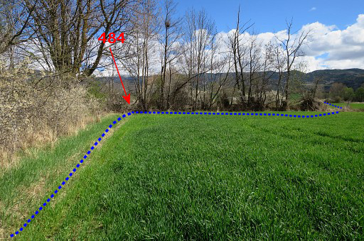 |
At the end of the field, the corner where bm484 can be found at the other side of the hedge. |
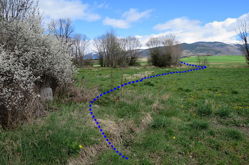 |
Passing again along bm485. |
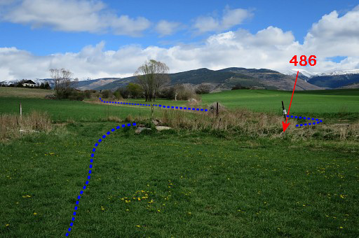 |
And - at the end of the meadow - returning at the dirtroad. From this stand of view, bm486 is hidden in the ditch. Then from bm486 to 487 which can be done best by taking first a track on the spanish side of the border. Then (after 100m) enter a French meadow, still going E. |
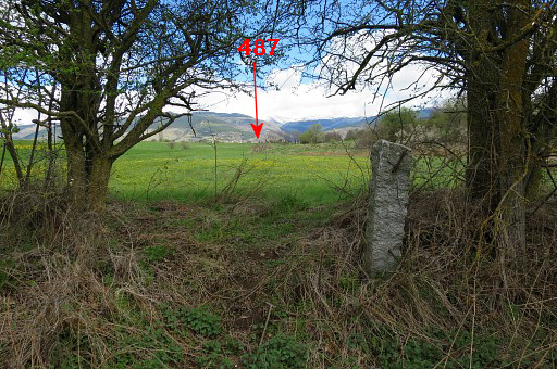 |
Traverse the meadow to the E, arriving at this 'gate'. From here you can already see the spot the spot of bm487. |
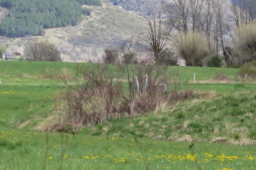 |
Zoom-in to bm487 |
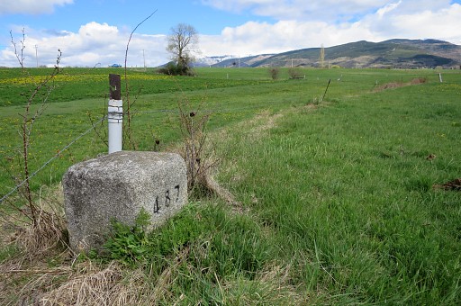 |
Bm487 |
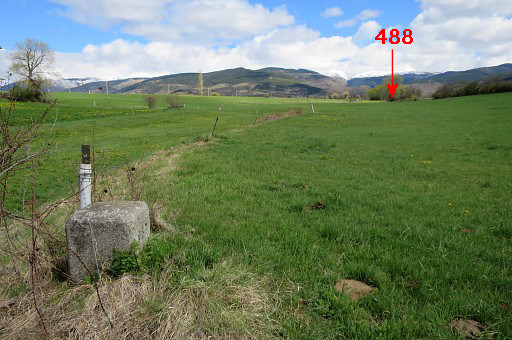 |
Bm487 You can spot bm488 already from here. |
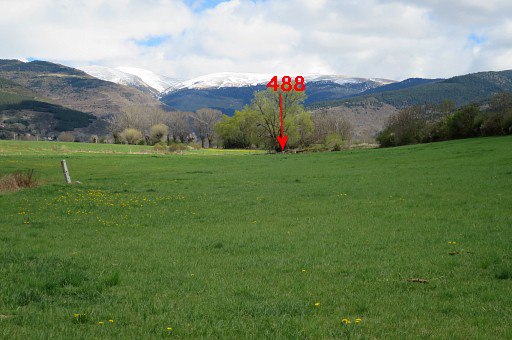 |
Zoom-in |
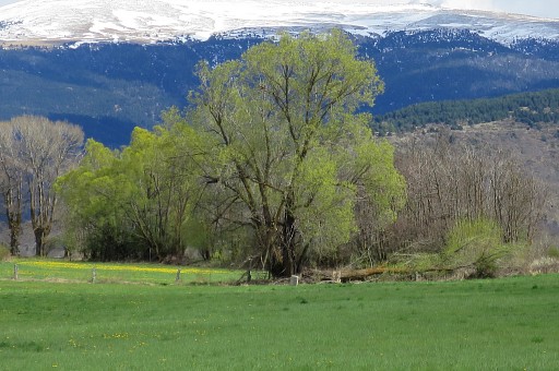 |
Further zoom-in to bm488 |
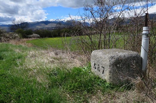 |
Bm487 |
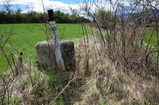 |
Bm487, looking back. Then onwards to |
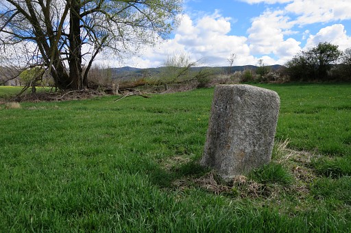 |
bm488 |
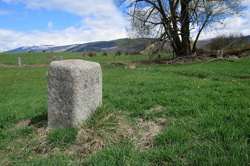 |
Bm488 |
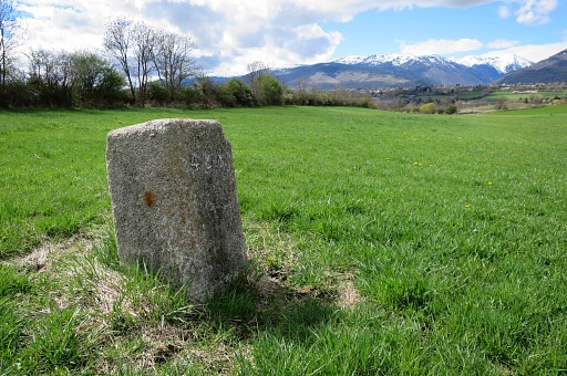 |
Bm488 |
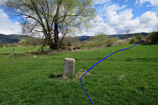 |
From bm488 switch to the spanish side via a 'corridor' in the hedge and |
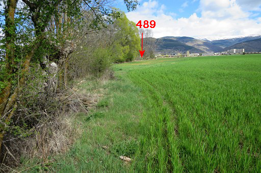 |
continue E along the field-edge and soon you will spot further on |
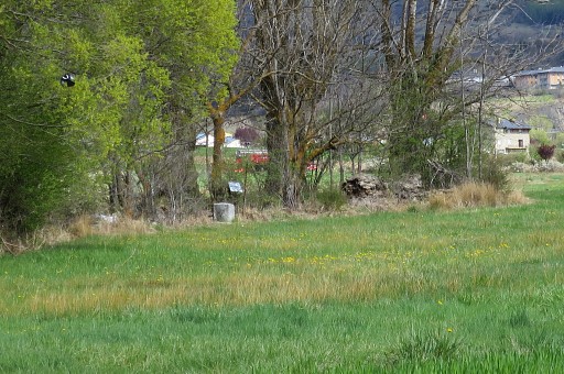 |
bm489. |
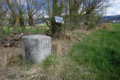 |
Bm489 |
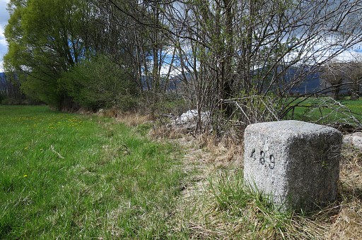 |
Bm489 |
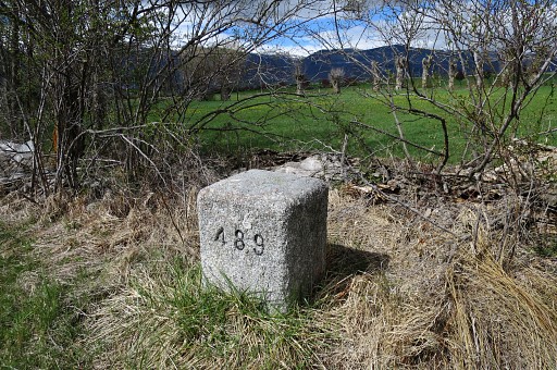 |
Bm489 |
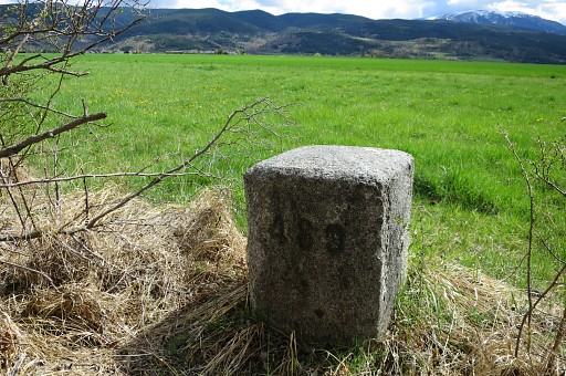 |
Bm489 |
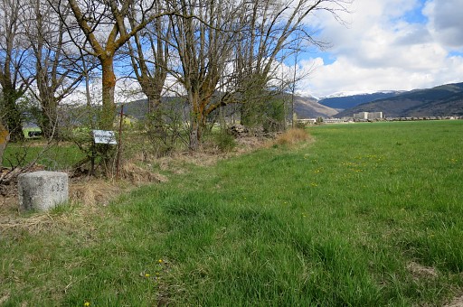 |
If the fields are
empty with crops, you might head directly S for ±500m to bm490 which
should be - in the case of empty fields - visible from far distance. |
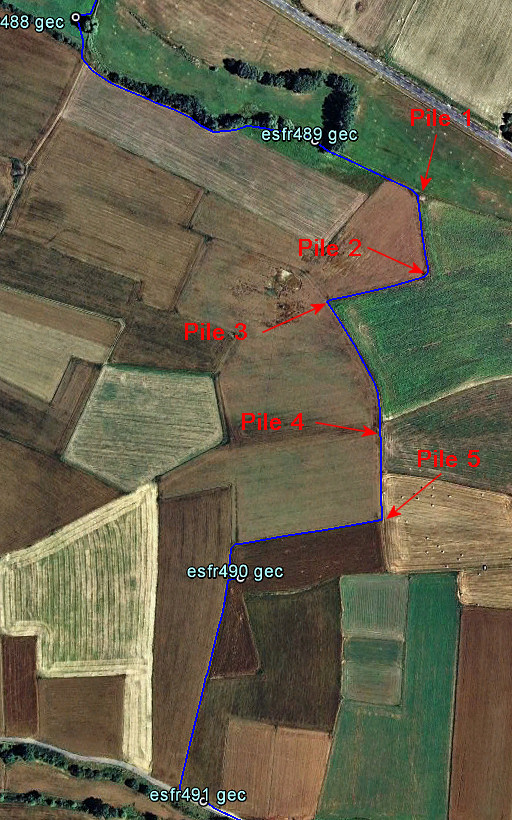 |
But
probably you have to follow the field-edges as this map shows to protect the crops. Luckily some stone-piles (see pictures) help you to navigate. |
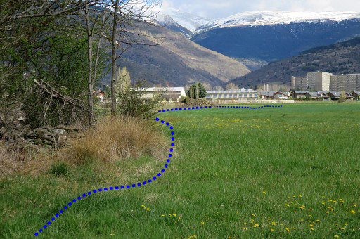 |
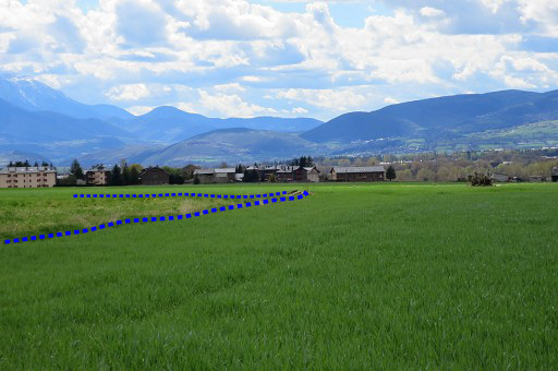
This picture: looking SEE to the first of them. |
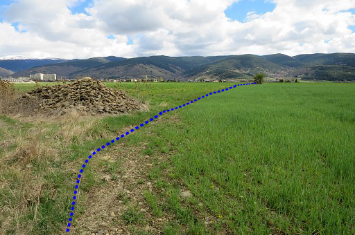 |
The first pile of stones with in the distance |
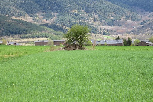 |
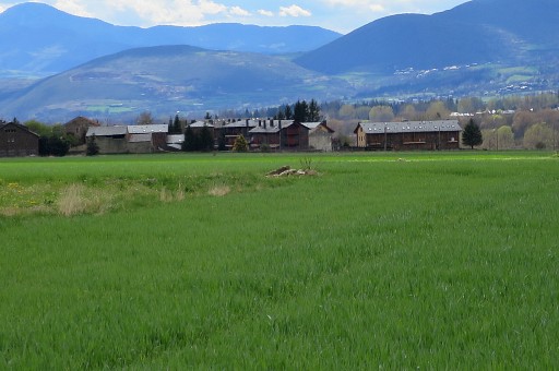
the second pile. Proceed along the field edges from one pile to another. |
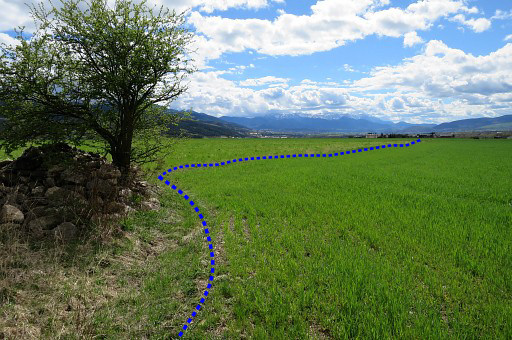 |
The second pile left and looking forward to |
 |
a third one but |
 |
a lot smaller. At the third pile, go left. |
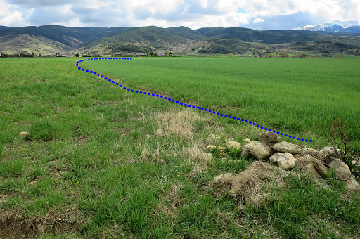 |
The third pile and looking in the direction to go. The field edge curves to the right in the distance and arrives |
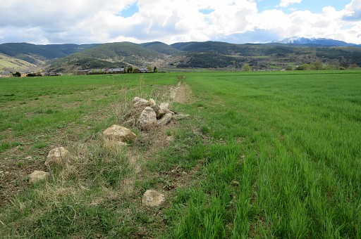 |
at this fourth pile of stones. Ahead is the last |
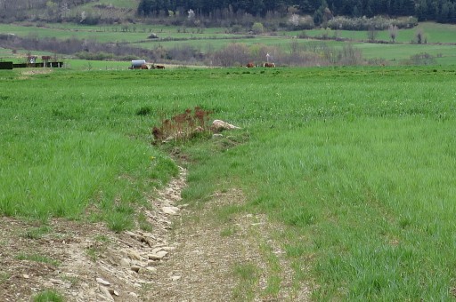 |
small pile of stones. |
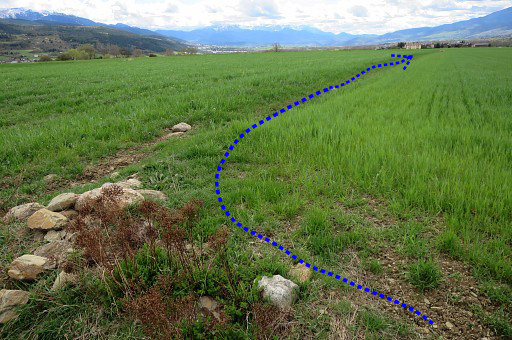 |
At this point turn right and walk 150m to the W between the two fields until the end of the left field. Then turn right |
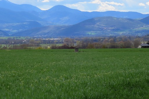 |
But bm490 could already be spotted to the left |
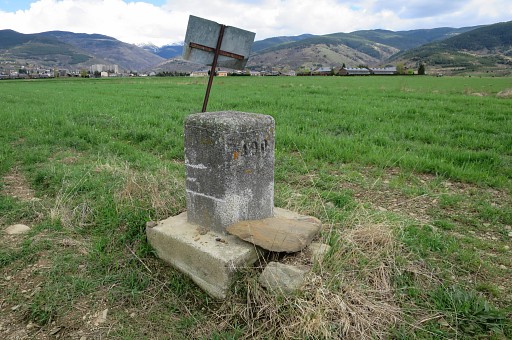 |
and its access is easy. |
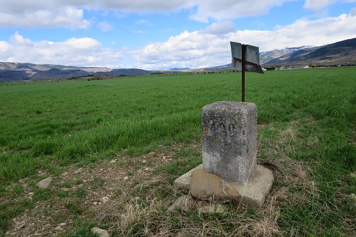 |
Bm490 |
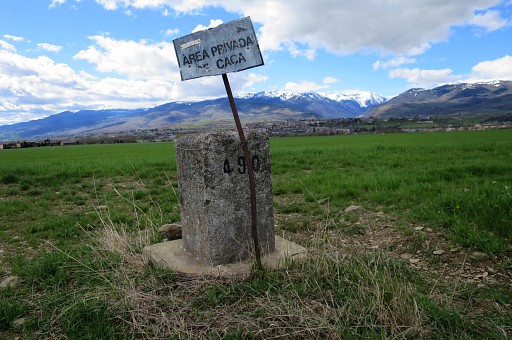 |
Bm490 |
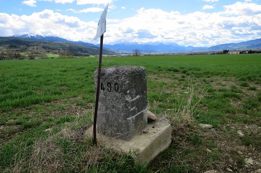 |
Bm490 |
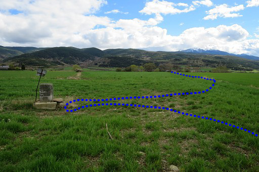 |
From 490 head SSW along the field-edge (as indicated) to the road with |
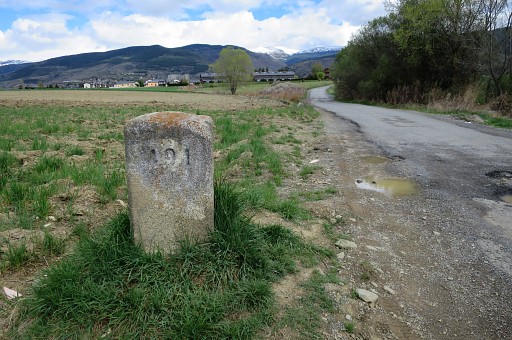 |
bm491 a bit to the left. |
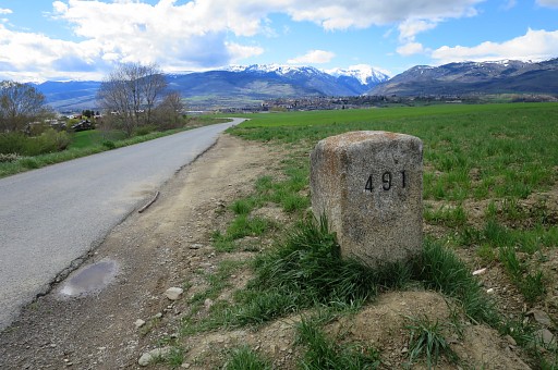 |
Bm491 |
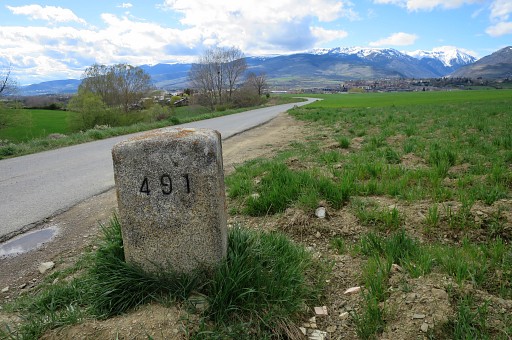 |
Bm491. On a dirtroad - branching off to the right 125 further E - it's easy descending |
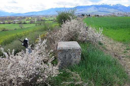 |
and reaching 492, going hence & forth along the field edge. |
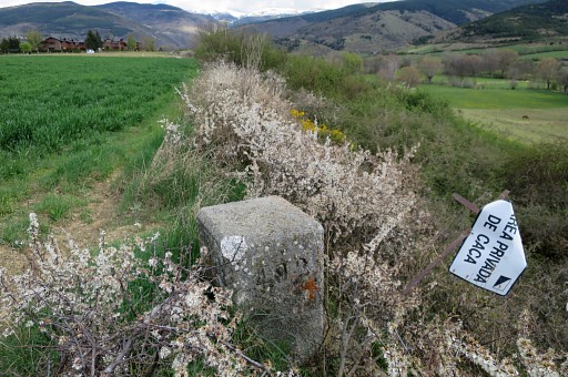 |
Bm492 |
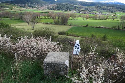 |
Bm492, looking forward to the spot of bm493. A direct raverse to bm493 is not possible because of a impenetrable strip of undergrowth ahead so I had to return to the dirtroad and descend further to the meadows which give acces to bm493. |
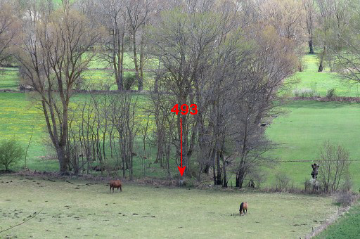 |
Zoom-in from previous picture. |
 |
I had to make a little detour to keep out the horse-meadow and reach bm493. |
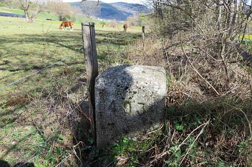 |
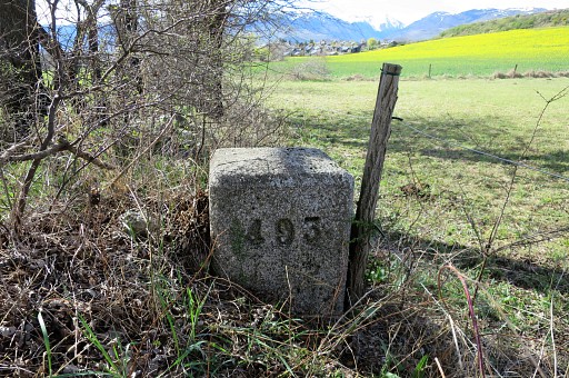
Bm493 |
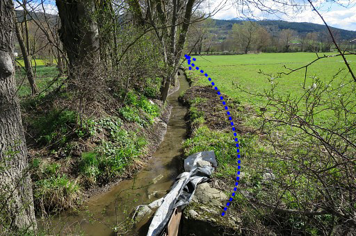 |
Then proceeding S along the field-edge (W-side) |
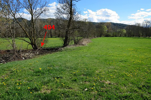 |
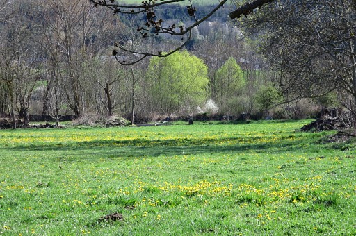
to bm494 which is here. |
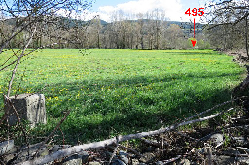 |
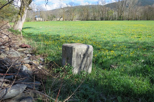
Bm494 From there bm495 is already visible S at the other end of the meadow. |
 |
Zoom-in to bm495 |
 |
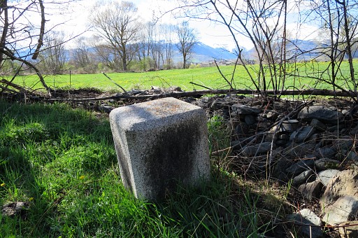
Bm494 |
 |
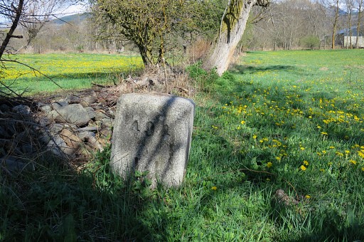
Bm494 |
 |
Bm494 Then crossing the field to |
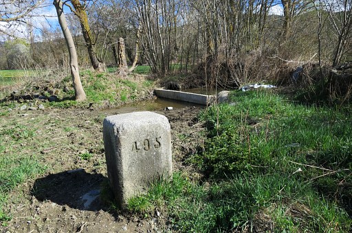 |
bm495 |
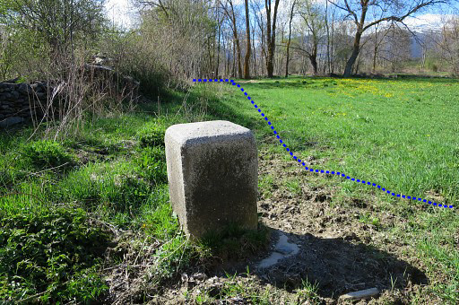 |
Bm495 The meadow exit is closeby from here. |
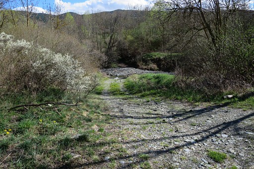 |
Then a surprise: I expected a bridge permitting to go S on a dirtroad and end up in Vilallobent. But there is no bridge. |
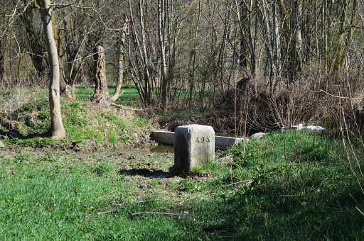 |
For some reason, I went back to bm495 for another picture. |
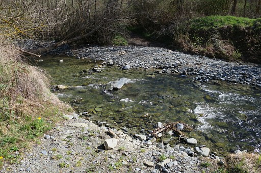 |
Now back at the passage over the stream. Apparently there have been floodings. In summertime you might easily cross this small river but not now. So not suitable for the GRPdesBF-main route. |
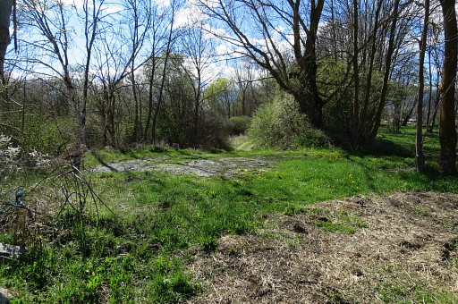 |
This is the exit of the meadow (with bm495), looking W. |
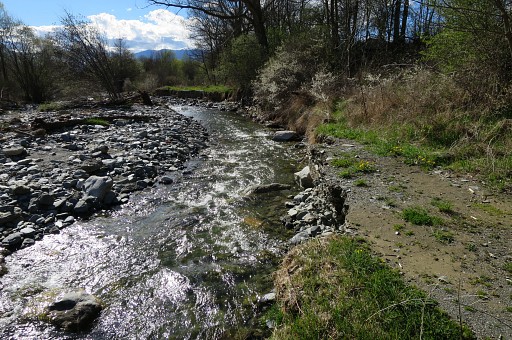 |
I go W on the dirtroad which partly has vanished by the floodings. At one point I had to take a tiny detour via a meadow to the right. |
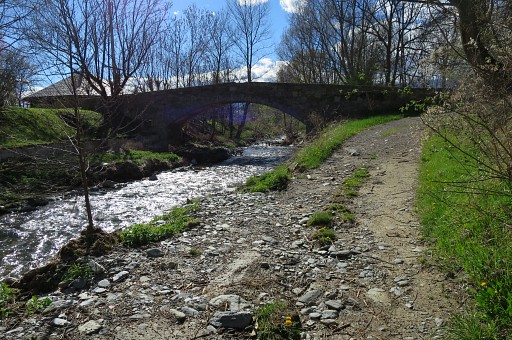 |
Here I arrive at the bridge and the tarmac road. Left is to Vilallobent and right is to Agg. I return to Agg and drive back to Puigcerdà, content of today. |
 previous
trip next
trip previous
trip next
trip  |
|
