|
The
bordermarkers of the Pyrenees : all my trips
|
|
| - tuesday 21 april
2015 - Up into the mountains  previous
trip next
trip previous
trip next
trip 
|
 |
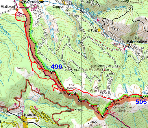 |
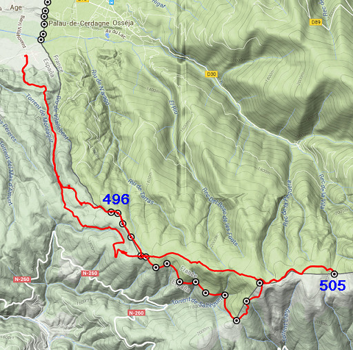
track-20150421.kml (click to open this trip in Google Earth or copy link to Google Maps; click right on this link to download gpx-version Summary: the third of four daytrips around Puigcerda, re-doing the 444 to 505 bordermarkers to check coordinates and wayfinding. Today: a long trip from the village of Vilallobent climbing the mountains and doing bm496 to 505. Most important goal: trying a new route to bm496. Conclusion: I have to make a variant of bm496-499 because wayfinding is not that easy as expected. Weather: sunny, pleasant |
 |
For
explanation of
the gps-coordinates and other cartographic backgrounds: see the cartography-page The gps-tracks have not been manually corrected which explains the inaccuracy and misalignment at some points. Started at 9.45, ended at 18.15 According to the gps: - distance : 29,9 km - total elevation: 2450m - maximum height: 2217m - total time: 8.30h |
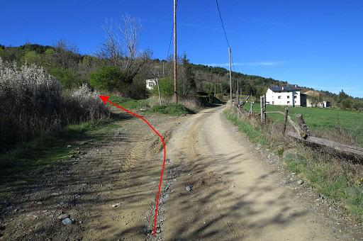 |
From Vilallobent I follow the GR11. The waymarks are not that abundant but with my directions you
should be able to find your way. And if you just follow the dirtroad up into the forest, it will also bring you to the plateau where bm500 and 501 are (but not along bm496-499). This picture: just outside Vilallobent where the Gr11 branches off the dirtroad on a trail climbing S. |
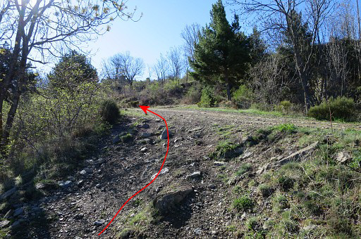 |
That trail is a shortcut (500m long) and joins at this point again with the dirtroad A bit further there's another minor GR11-shortcut but if you miss it (like I did), no problem. Just continue on the dirtroad. NB: the blue and red lines on the pictures: that's the 'official' course of the GRPdesBF but not necessarily how I walked today. |
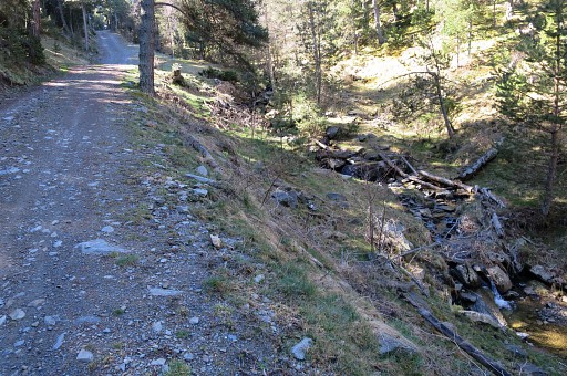 |
About 2,5 km further a stream appears at your right hand. This is a opportunity to fill your waterbottles but there will be more sources at the bm501-submarkers. Then - soon - the GR11 will leave the dirtroad on a track to this stream. |
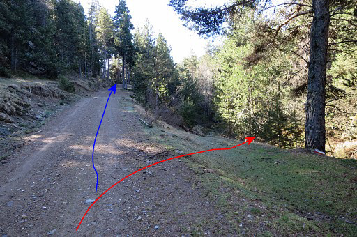 |
That's here. The conclusion of today
was that the route via bm496-499 better be a variant. This is the spot
where the main route and variant wil split. The GR11 (the main route) descends to a stream and continues SEE climbing along the stream to a crossroad of dirtroads. At that point a waysign shows how to continue to the SE. See further on for a picture of that spot. |
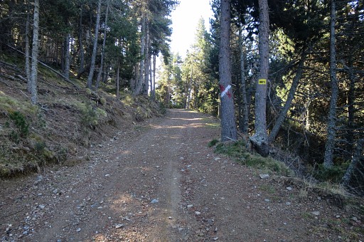 |
Zoom-in from previous picture. I continue on the dirtroad past this red/white cross. |
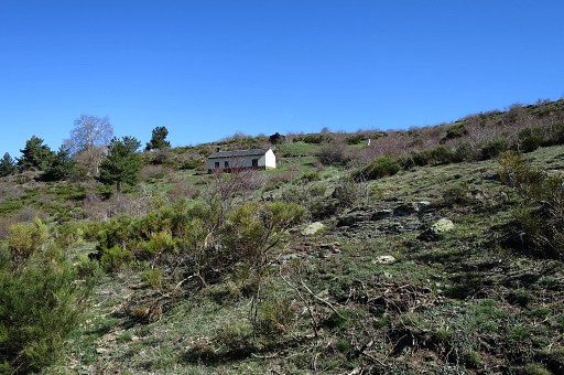 |
That dirtroad merges after 500m with another dirtroad. About there, there's a cabin to the left with |
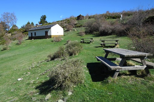 |
some picnic-tables and some flat space to camp (but no water nearby). The refuge-part was closed but |
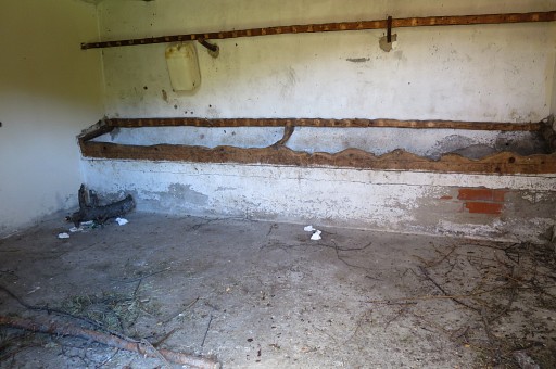 |
an emty room - apparently meant for cattle - could give shelter in bad weather. |
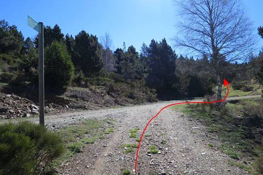 |
This is where the dirtroad joins the other one. |
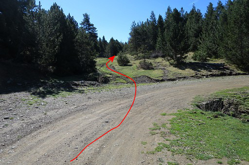 |
A little bit further - when the dirtroad
bends to the right - leave the dirtroad and enter |
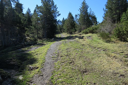 |
on a track SSE into the forest which |
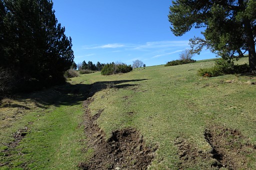 |
brings you soon to a large open space. Follow it along its E-side and |
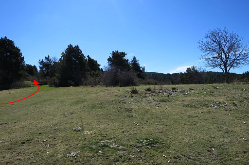 |
in the SE corner |
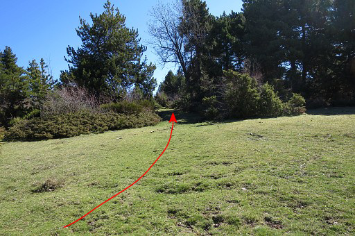 |
enter the forest and |
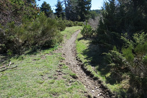 |
pick up a sort of (cattle-)trail. Now navigating is not that straightforward anymore. There's still a sort of track winding through the fir-trees but there are more of them. In any case, you have to go SEE (and not SE) and then you will inevitably arrive at |
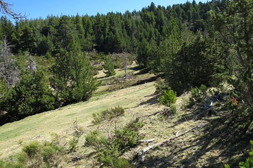 |
a sort of valley with possibly a stream, depending on the season. Distance from the open space to this valley is ± 500m. |
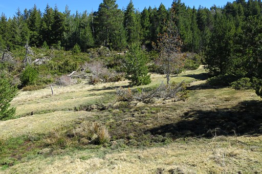 |
Most important feature (zoom-in of
previous picture): a (border)fence climbing SE or SEE which is the prove
that you have arrived at the border. |
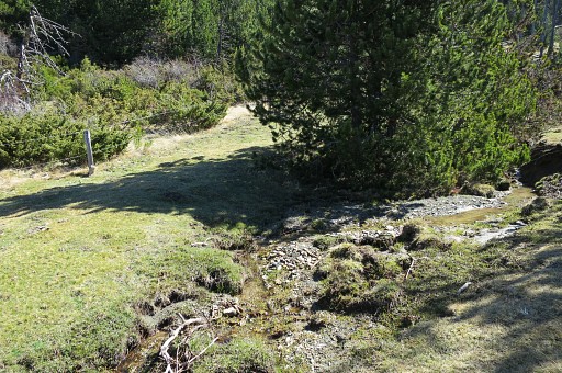 |
Now simply climb uphill parallel to
the fence. The bordermarkers bm496 to 499 are placed along the fence with a maximum distance of ± 10m from the fence. You can't miss them if you keep that in mind. |
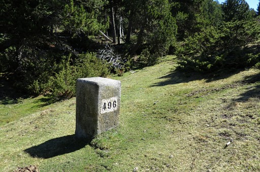 |
Bm496 |
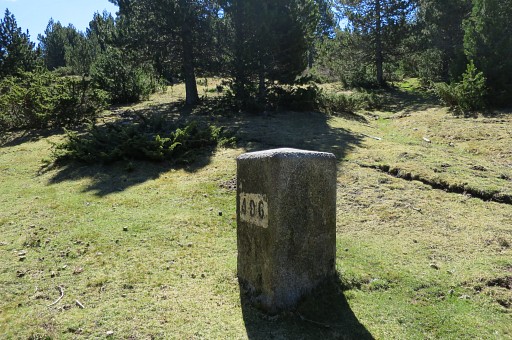 |
Bm496 |
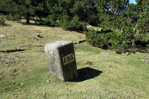 |
Bm496 |
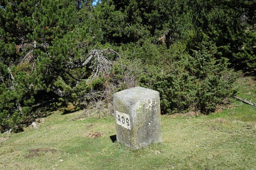 |
Bm496 |
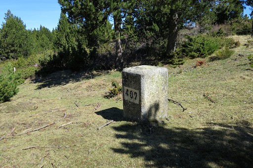 |
After 150m: bm497 |
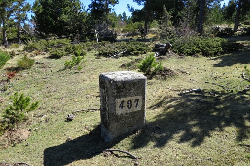 |
Bm497 |
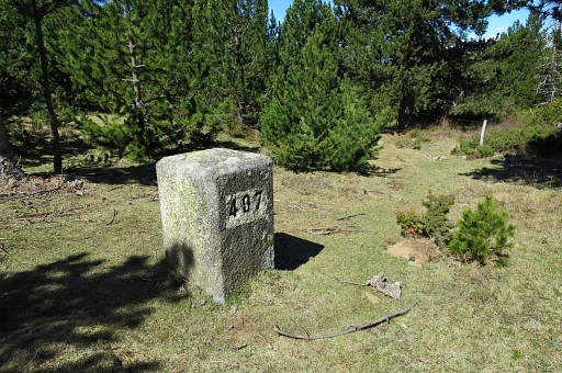 |
Bm497 |
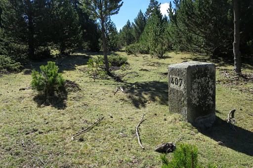 |
Bm497 |
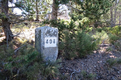 |
Then - after 350m - bm498. |
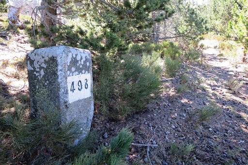 |
Bm498 |
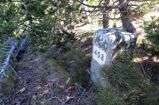 |
Bm498 |
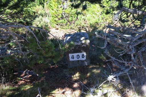 |
Bm498 |
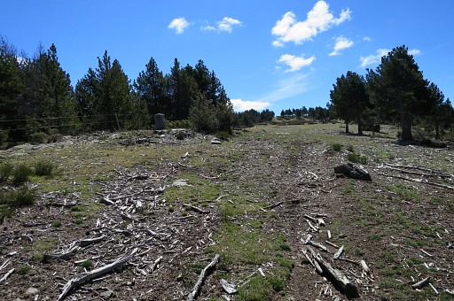 |
While proceeding SSE to bm499 it gets more open. |
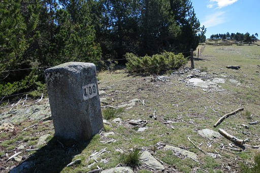 |
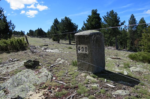
At 400m from bm498: bm499 |
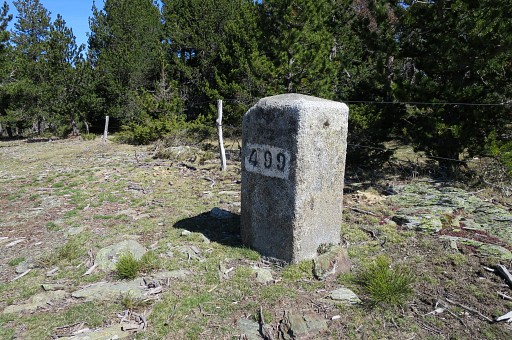 |
Bm499 |
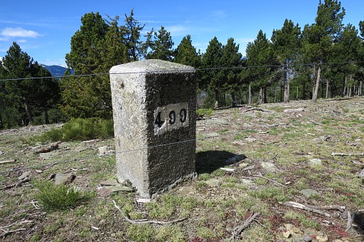 |
Bm499 |
 |
Bm499 |
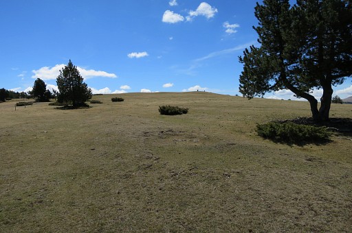 |
Finally I will arrive at the plateau with bm500 and 501 (150m to the SEE of mb500) and join the main route. This picture: you can spot bm500 already at the hilltop. |
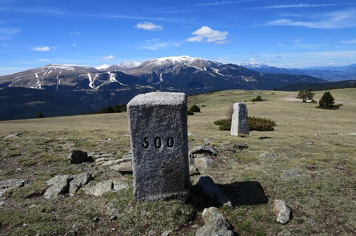 |
Bm500 |
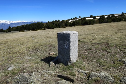 |
Bm500 |
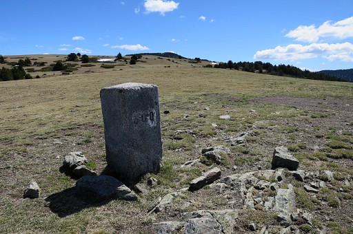 |
Bm500 |
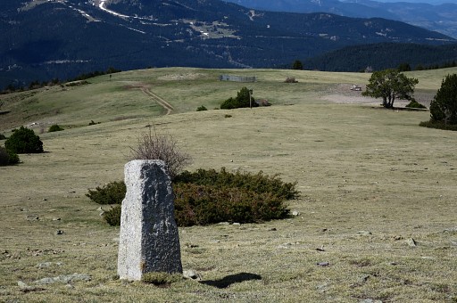 |
This is - I think - a communal marker. It's also a zoom-in to a |
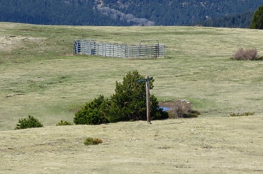 |
signpost. |
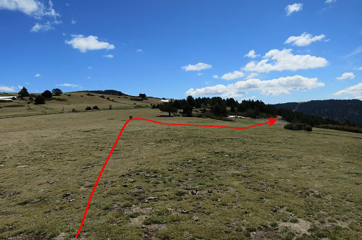 |
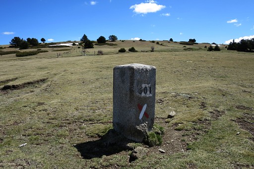
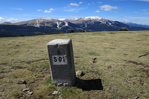
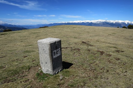
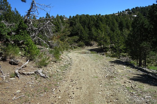
Bm501 is not far away: 150m to the SEE. On this picture you can see how to proceed to the bm501-submarkers. |
 |
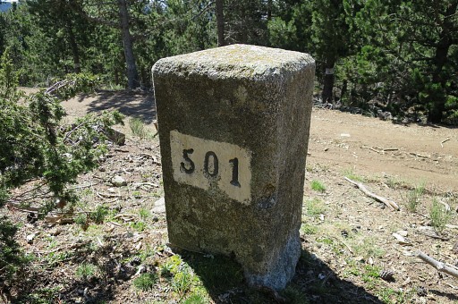
Bm501 |
 |
Bm501 |
 |
Bm501 |
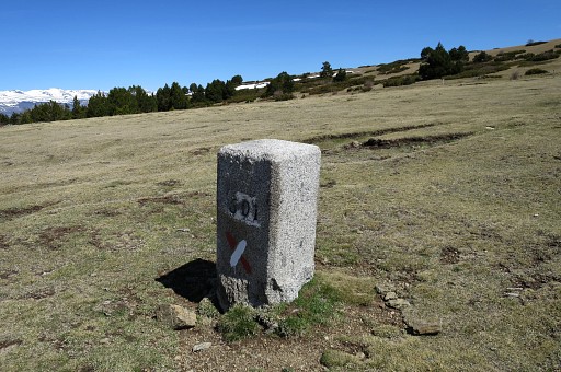 |
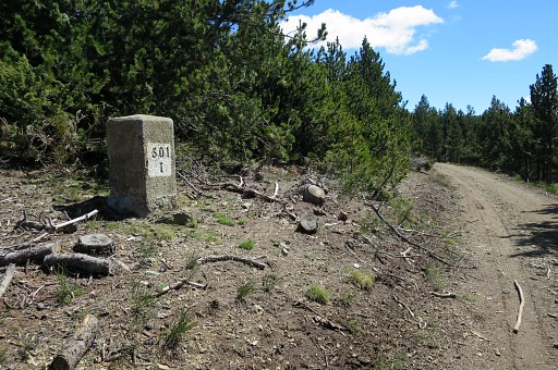
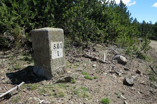
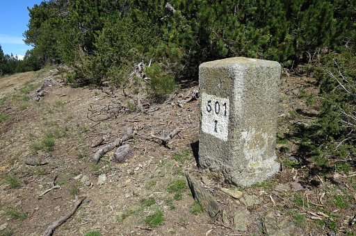
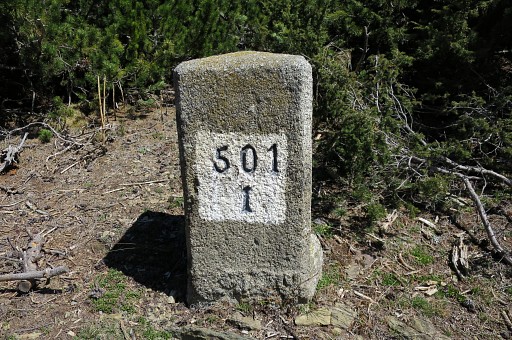
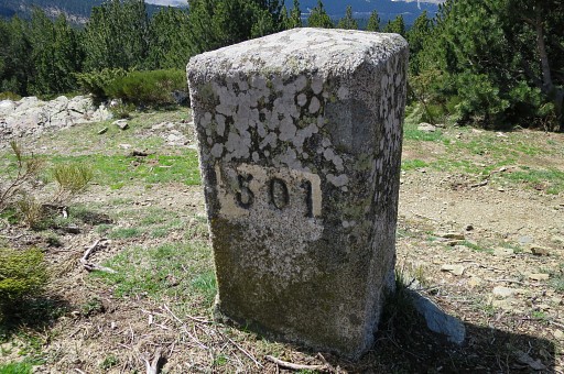
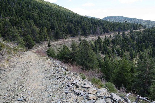
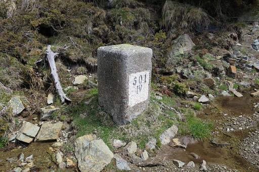
Bm501 Now the main route (and GR11) takes a dirtroad starting 15om SSE from bm501, following the contours of the mountain-slope and passing the submarkers bm501-I to 501-VI. At two of them (bm501-IV and bm501-VI) there are streams to collect water from. |
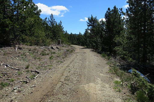 |
Bm501-I |
 |
Bm501-I |
 |
Bm501-I |
 |
Bm501-I |
 |
Bm501-I |
 |
Bm501-I (backside) |
 |
Bm501-II |
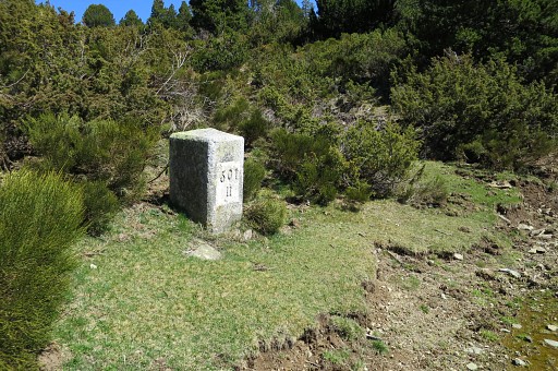 |
Bm501-II |
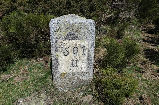 |
Bm501-II |
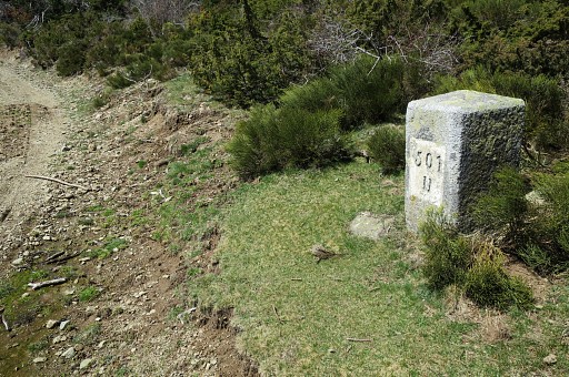 |
Bm501-II |
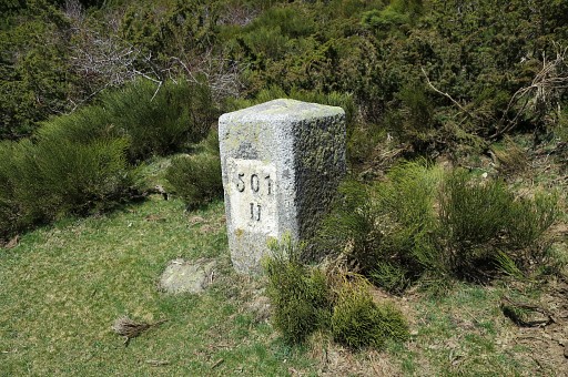 |
Bm501-II |
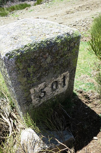 |
Bm501-II (backside) |
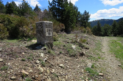 |
Bm501-III |
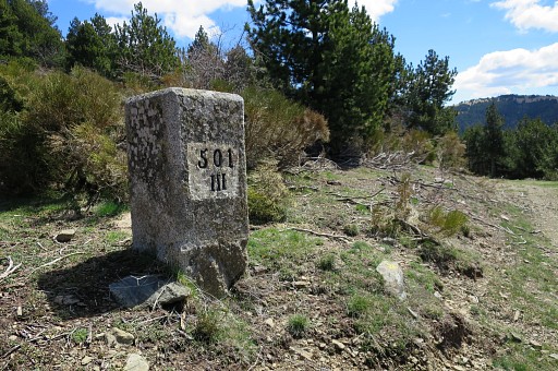 |
Bm501-III |
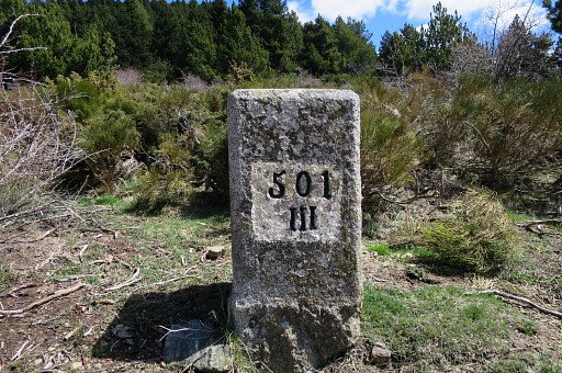 |
Bm501-III |
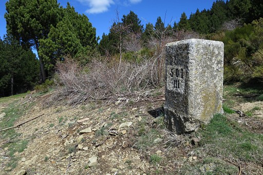 |
Bm501-III |
 |
Bm501-III |
 |
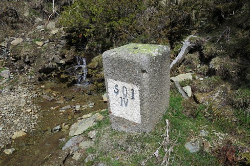
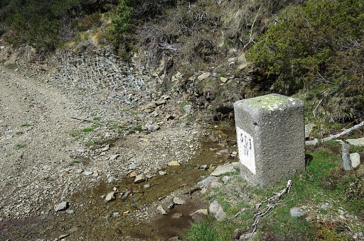
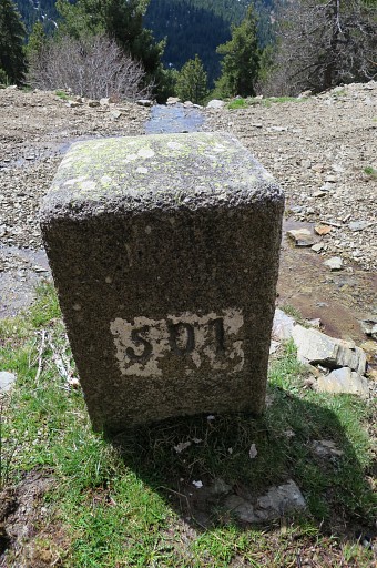
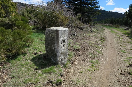
Bm501-IV |
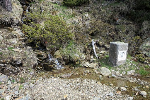 |
Bm501-IV Opportunity to refill your waterbottle. There's another one at bm501-VI but this one seems more reliable through the seasons. Note: when walking the GRPdesBF, the next source is in the second half of the next stage so you have to take your chance here. |
 |
Bm501-IV |
 |
Bm501-IV |
 |
Bm501-IV |
 |
Bm501-IV (backside) |
 |
Bm501-V |
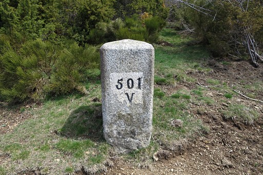 |
Bm501-V |
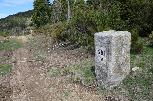 |
Bm501-V |
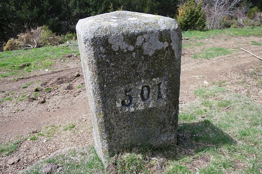 |
Bm501-V (backside) |
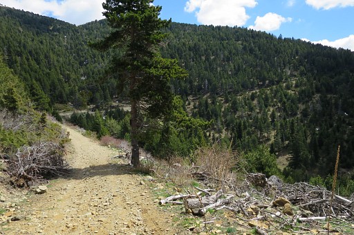 |
In the far distance |
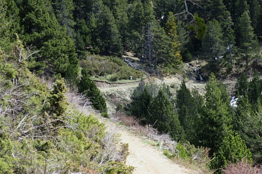 |
bm501-VI with streams on either side of it though they don't seem as continuous through the year as at bm501-IV |
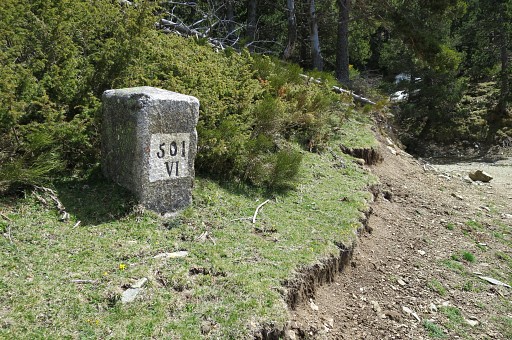 |
Bm501-VI |
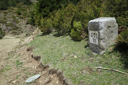 |
Bm501-VI |
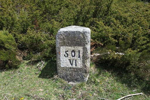 |
Bm501-VI |
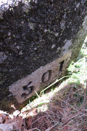 |
Bm501-VI (backside) |
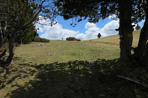 |
Finally the trail climbs to a pass (Coll de la Creu de Meians) |
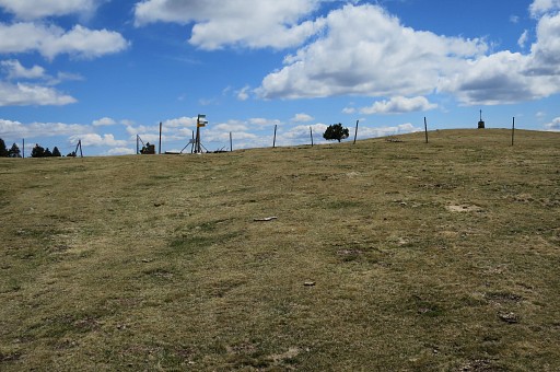 |
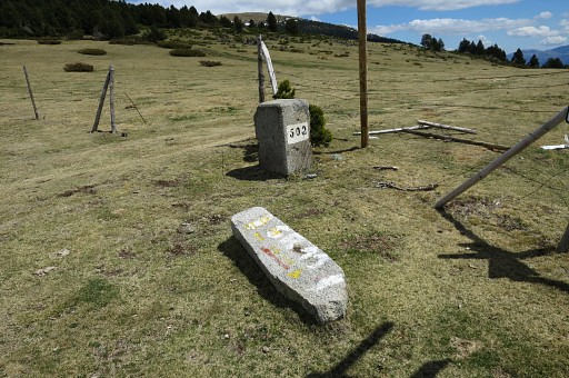
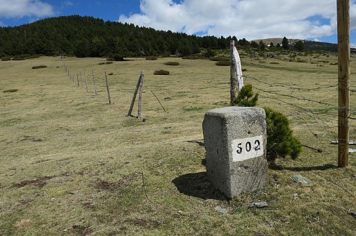
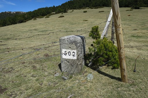
with bm502. |
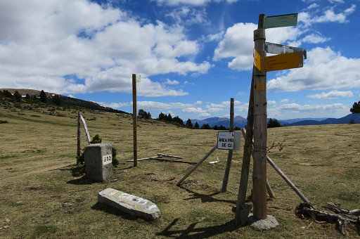 |
Bm502 |
 |
Bm502 |
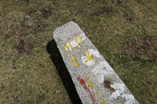 |
This must be some communal marker. |
 |
Bm502 |
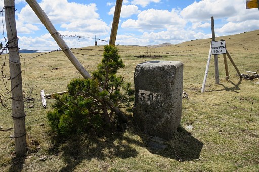 |
Bm502 |
 |
Bm502 |
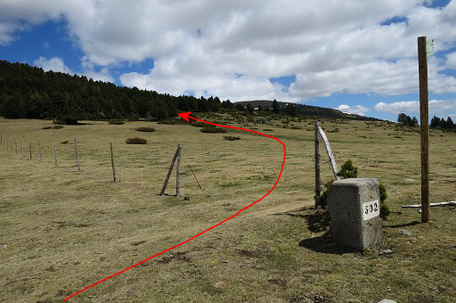 |
At the other side of the fence a dirtroad starts to climb NE uphill. |
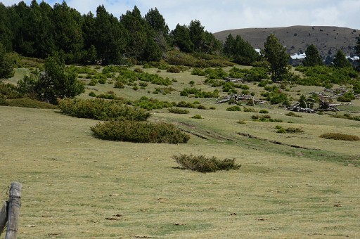 |
Zoom-in. The dirtroad climbs and winds NE-E through a forest. |
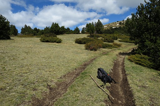 |
Higher up (± 1,5 km from bm502) you will spot the (border)fence again to the left, |
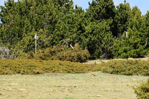 |
Zoom-in: you can see the (border)fence. That's about where |
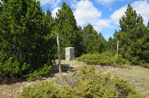 |
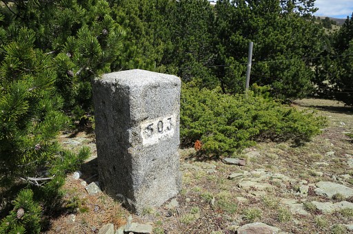
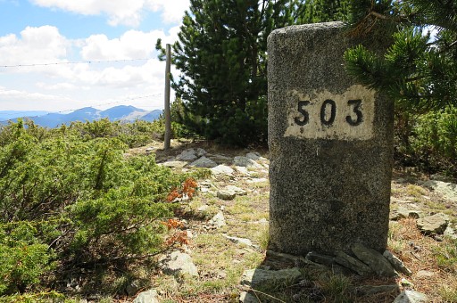
bm503 is at the other side of the fence but not visible from the dirtroad. |
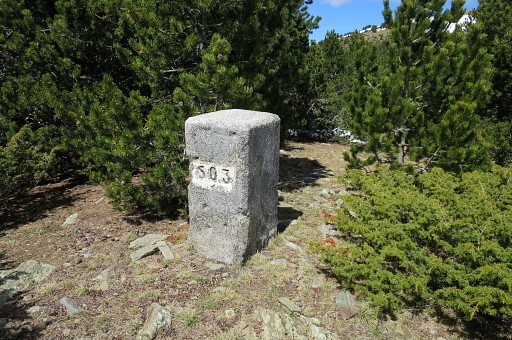 |
Bm503 |
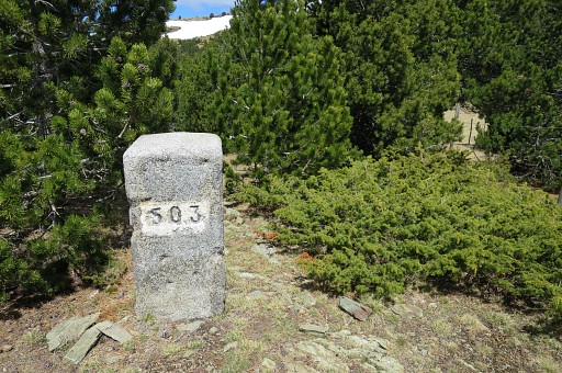 |
Bm503 |
 |
Bm503 |
 |
Bm503 |
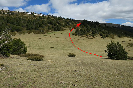 |
Return NE to the dirtroad which |
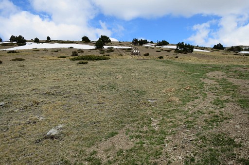 |
climbs further and higher on |
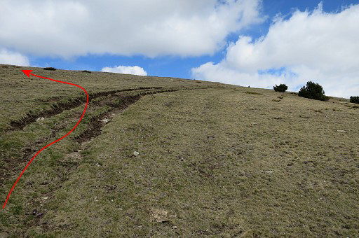 |
bends to the right (=NE) and that's about here. At this point I leave the dirtroad and climb NNW through the grass to the hilltop |
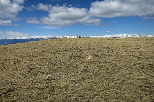 |
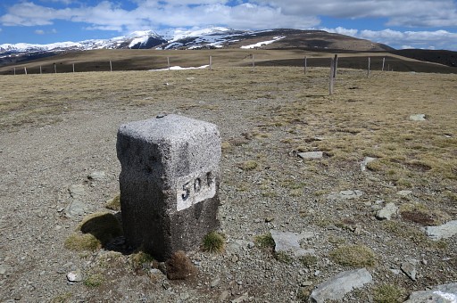
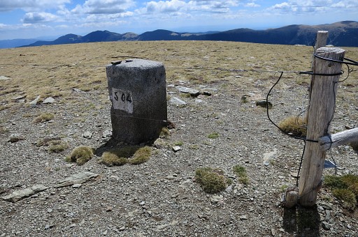
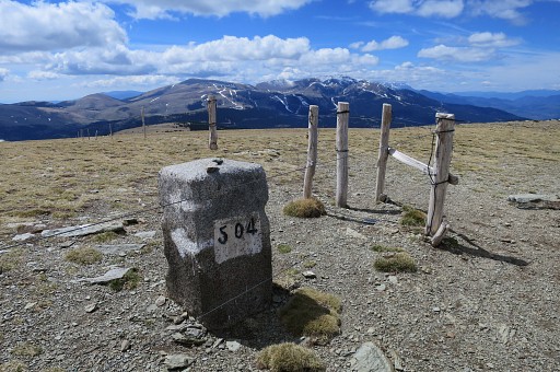
where bm504 |
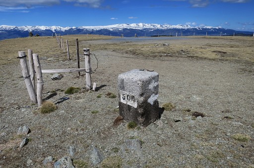 |
is standing at the corner of a parking. |
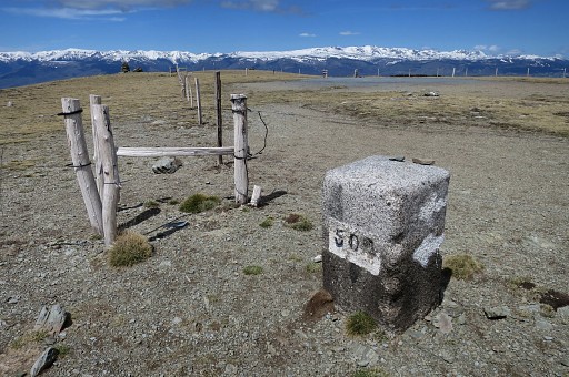 |
Bm504 |
 |
Bm504 |
 |
Bm504 |
 |
Bm504 |
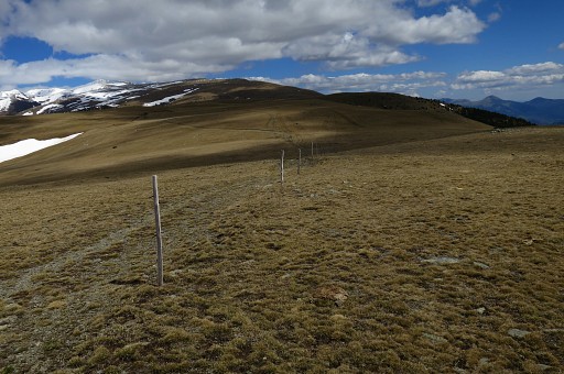 |
From bm504 I descend E along the borderfence and continue on a dirtroad. |
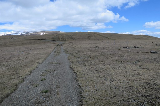 |
This dirtroad winds generally E and will bring me after 2km close to bm505. The dirtroad is easier than following the borderfence over the grassy hills. |
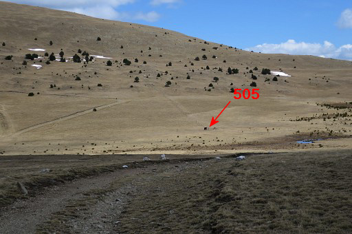 |
After 2km the 'valley' or pass in sight where bm505 is. |
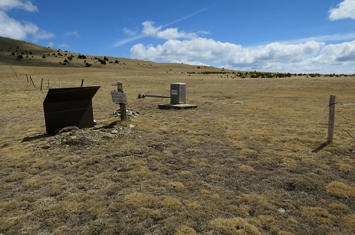 |
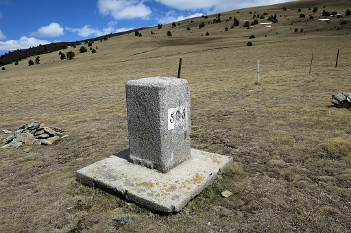
Bm505 |
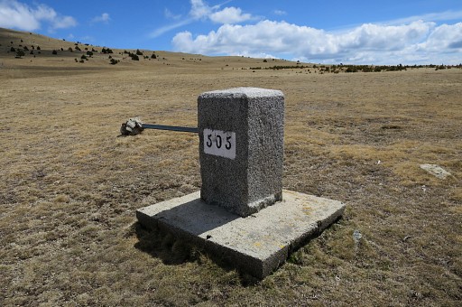 |
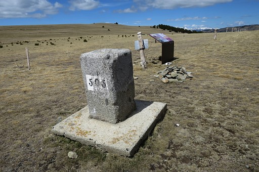
Bm505 |
 |
Bm505 |
 |
Bm505 |
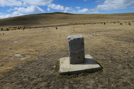 |
Bm505 |
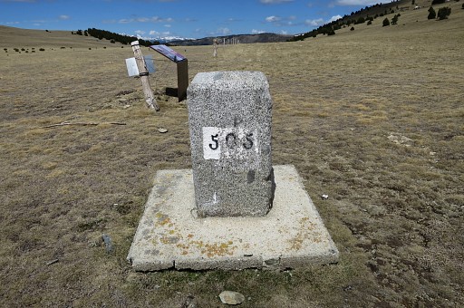 |
Bm505 |
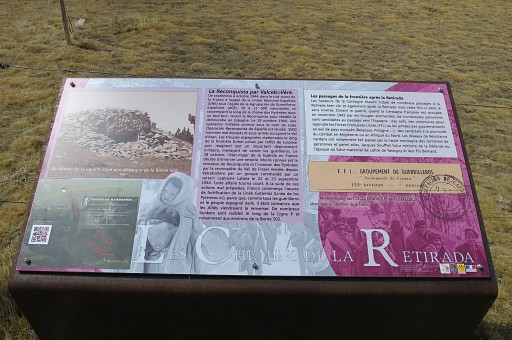 |
An information-panel about "la Retirada". Nowadays there are many of such information panels at borderpasses telling the story of the Spanish republican forces fleeing Spain after their defeat in the civil war and about WWII refugees fleeing to Spain. |
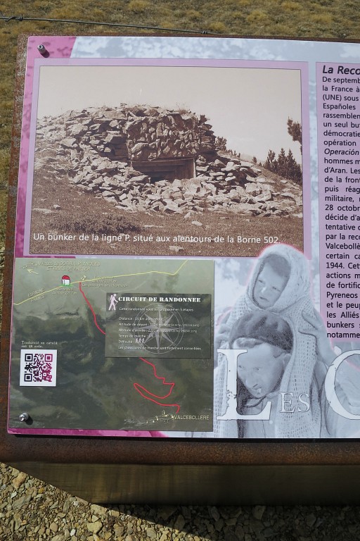 |
An interesting picture showing a sort of bunker in the vicinity of bm502. |
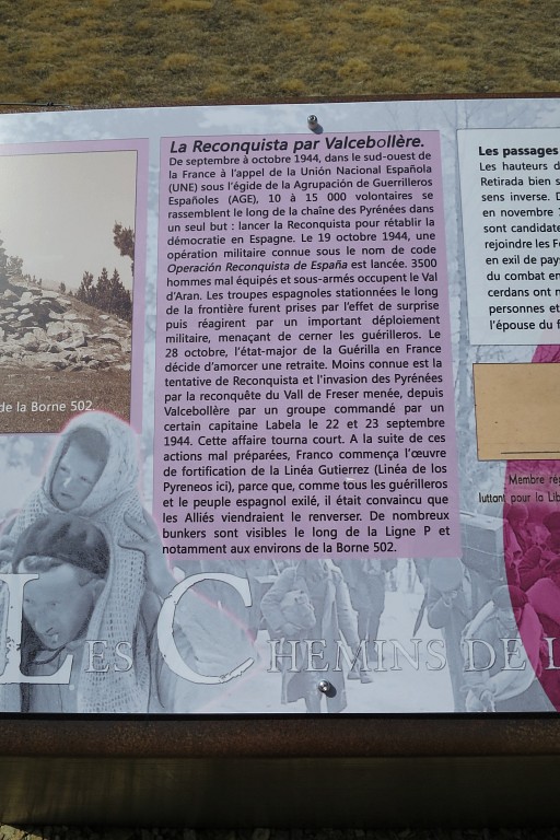 |
And the story of a Spanish revolt against the Franco-regime in 1944. |
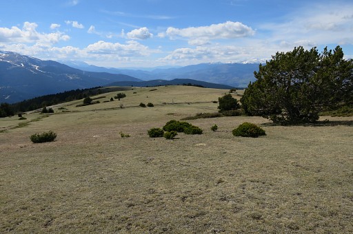 |
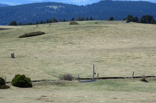
I return to bm504 and then take a shortcut NWW over the mountain-range, back to bm500. This picture: bm501 comes in sight. |
 |
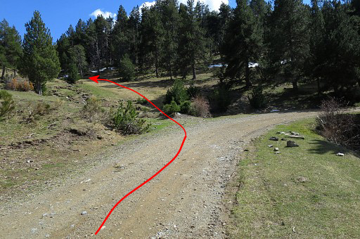
And on this zoom-in we can also spot bm500 on the hilltop. Then - beyond bm500 -a return to Vilallobent, trying to follow the GR11 which in this direction is not easy to find by lack of waymarks. Uphill it's easier to follow the GR11 and reach bm500. |
 |
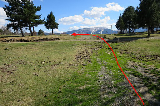
Anyway, I can't find the GR11 and I descend on the dirtroad. This picture somewhere along the dirtroad: looking back to where the GR11 leaves the dirtroad to climb on a track towards the plateau with bm500 and 501. As said the GR11-waymarks are almost absent on that plateau but a GR11-waysign and the easy to spot bm500 on the hilltop will confirm you are right. |
 |
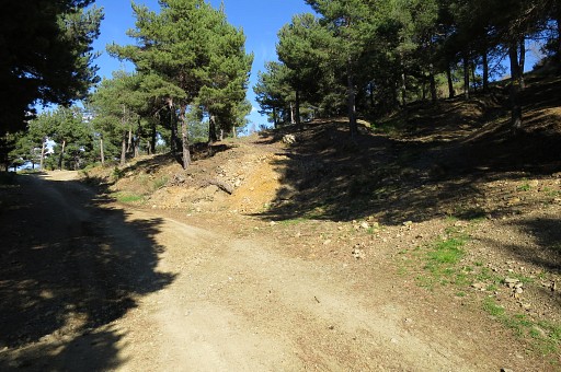
Further on, the GR11 leaves the
dirtroad at a crossroad of dirtroads. It will descend N along a small
stream and rejoin the dirtroad further on (it's in fact a shortcut of
the dirtroad) This picture: looking back to that crossroad of dirtroads where the GR11 emerges from the forest on its shortcut and will continue on the dirtroad. A waysign shows the right direction. |
 |
Then a long, long descent on the dirtroad. Getting closer to Vilallobent I discover another shortcut of the GR11 going uphill. That's here. I missed it going uphill and it hardly saves you time. The GRPdesBF will ignore this minor shortcut. Back in Vilallobent, I'm very tired after this long trip. |
 previous
trip next
trip previous
trip next
trip  |
|
