|
The
bordermarkers of the Pyrenees : all my trips
 |
|
| - tuesday 7 july
2015 - Help your fellowmen |
 |
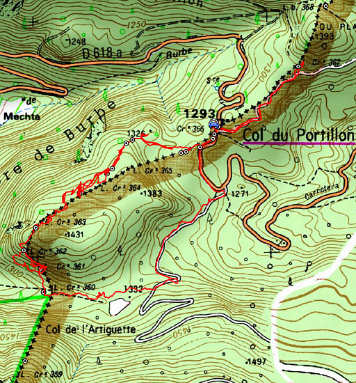 |
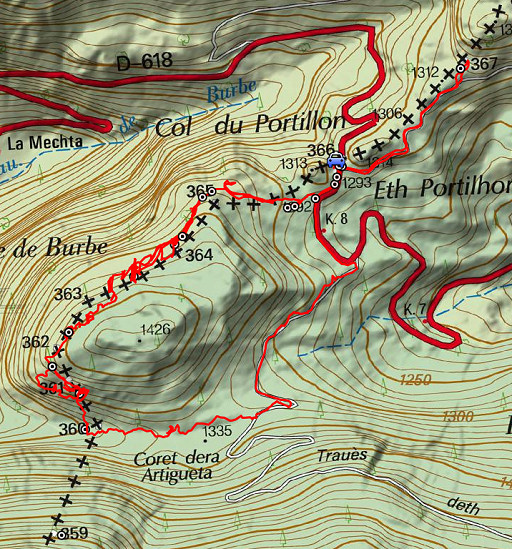
track-20150707.kml (click to open this trip in Google Earth or copy link to Google Maps; click right on this link to download gpx-version Summary: five days of exploring bordermarkers around Bossòst, together with Jan-Willem. Main targets: the unfindable bordermarkers 359, 364 and bm408III & IV. Today: from Col du Portillon doing bm360 to 367. Weather: sunny and warm |
 |
For
explanation of
the gps-coordinates and other cartographic backgrounds: see the cartography-page The gps-track has been partially corrected but there's still somes inaccuracy and misalignment at some points. Started at 12h, finish at 17h According to visugpx - distance : 8 km - cum. elevation gain : 330m - cum. elevation loss : 328m - total elevation: 658m - altitude maxi : 1408m - altitude mini : 1278m - altitude average : 1339m |
 |
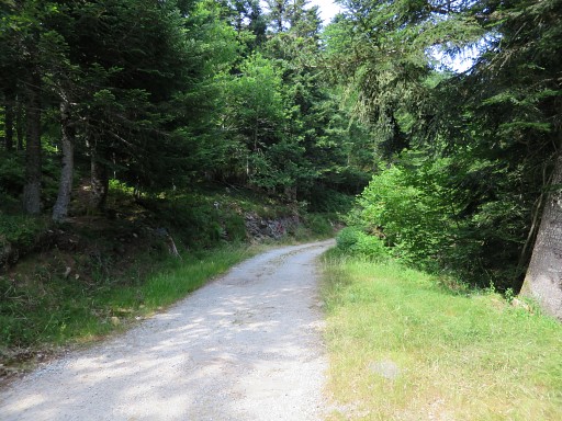
We park our car at Col du Portillon,
walk back a while into Spain and then take the dirtroad to the right
which climbs to Col de Barèges. After 750m, this is where you have to leave the dirtroad to go to bm360. The trail leads you along a smal stream: mainly to the right of it - a bit higher on dryer ground - then switches to the left side and back to the right side. |
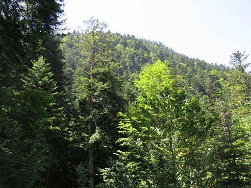 |
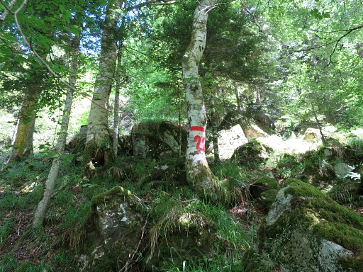
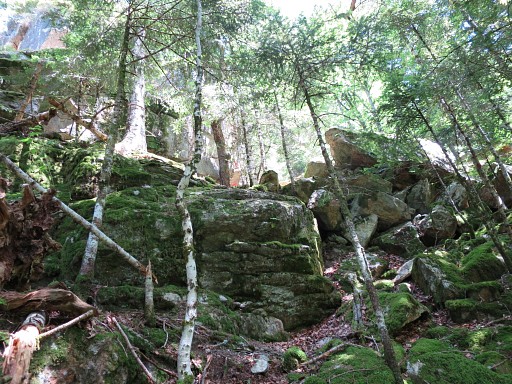
A view up the steep wooded hill towards bordercross 359 which has never been refound in its original state. Jean Sermet located the original spot halfway the steep slope but in my opinion the original bordercross 359 must have been engraved on top of the steep hillside. See this page for its intriguing story. |
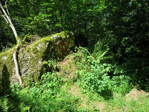 |
But now our goal is bm360, easy to find along the trail. |
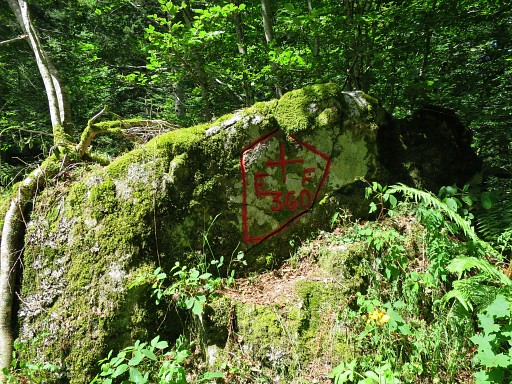 |
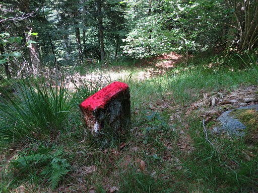
Bm360 |
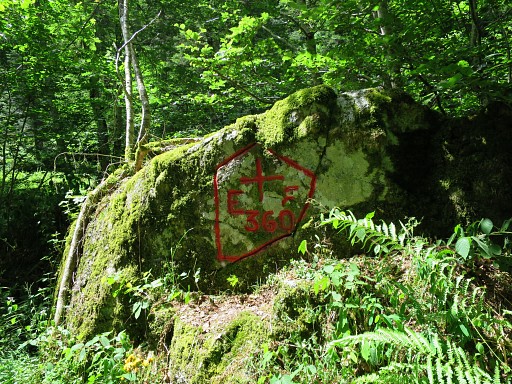 |
Bm360 |
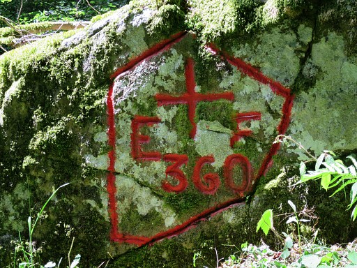 |
Bm360 |
 |
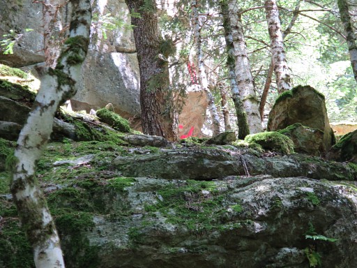
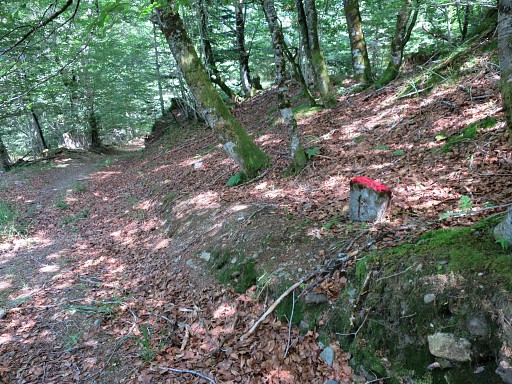
From bm360 to 361 is a climb from red stripes to red stripes on the trees which are the forester's bordermarkers. |
 |
At this picture, bordercross 361 can already be seen but more clearly on |
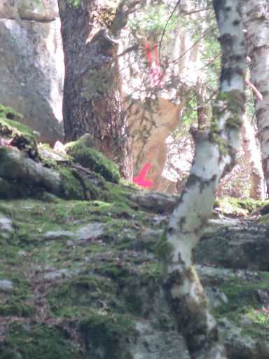 |
this zoom-in. |
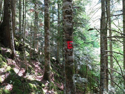 |
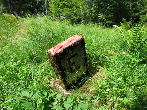
For the last part you have to make a half circle to the right, a direct route being too steep on the boulders. This picture: another forester's bordermarker (E=Espagne). |
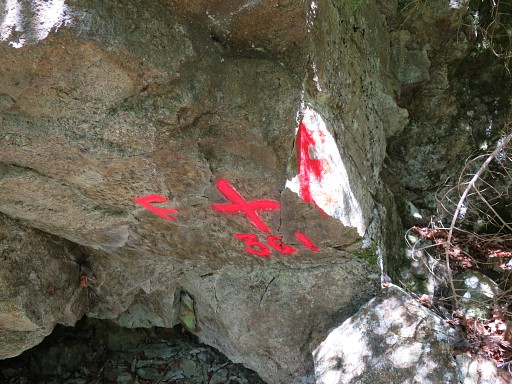 |
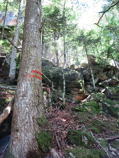
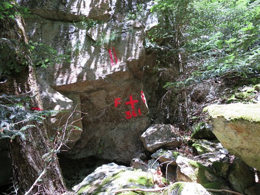
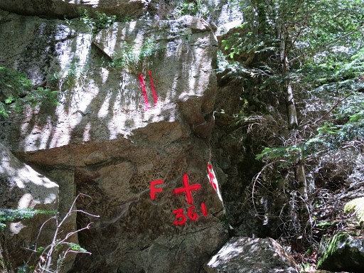
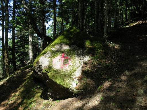
Bm361 This is not the original bordercross, that one has never been refound. In the fifties of the previous century, this one was engraved as a replacement. The description fits (= under an overhanging rock). |
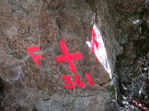 |
Bm361 |
 |
Bm361 |
 |
Bm361 |
 |
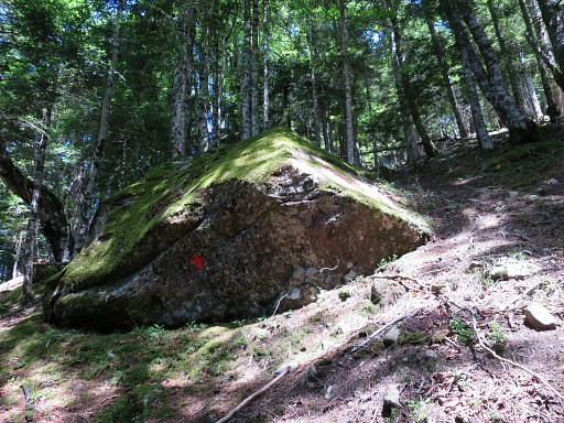
We continue to bm362 and look back |
 |
for another distant view of bm361. |
 |
From bm361 to 362 was not easy. After
traversing underneath the rockwall (of bm361), you should gradually
climb NW towards bm362. But fallen trees like this ones force you to go downhill first and then to climb back on the hillside to find the trees with double red stripes whichs mark the borderline.. Once refound, these stripes will bring you to bm362. . |
 |
Bm362 |
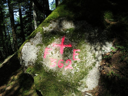 |
Bm362 |
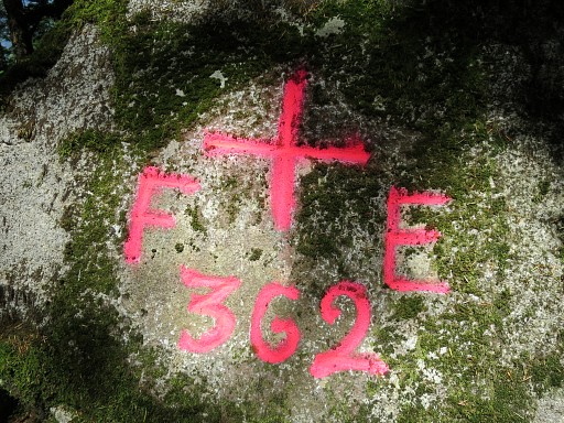 |
Bm362 |
 |
Bm362 |
 |
I try a route back to bm360 which brings me too high, if fact above the rockwall where bm361 is engraved underneath. I spot this red arrow but have no clue to its meaning. Back to bm362. |
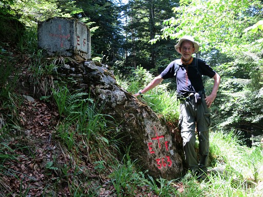 |
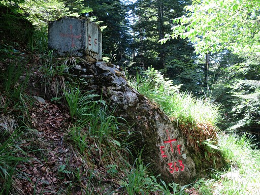
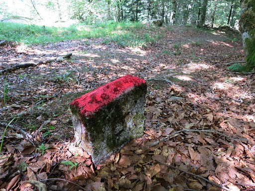
From bm262 to bm363 is easy: just follow the red stripes along a vague trail. Bm363 with Jan-Willem |
 |
Bm363 |
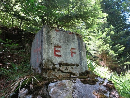 |
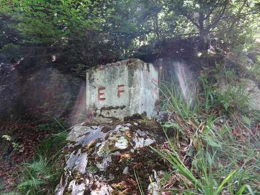
Bm363 The complimentary concrete marker on top (also at bm365) is of an unknown date. |
 |
Bm363 |
 |
Bm363 |
 |
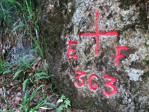
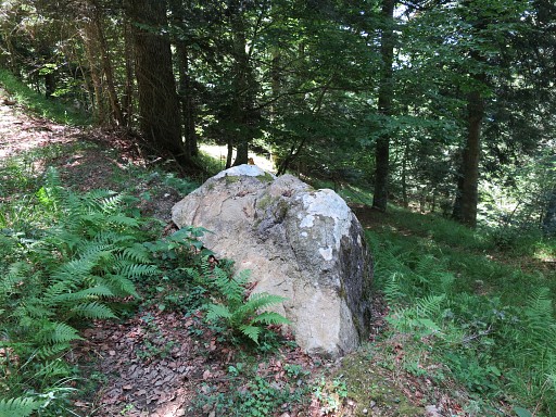
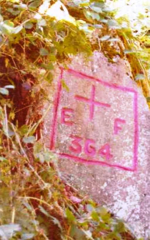
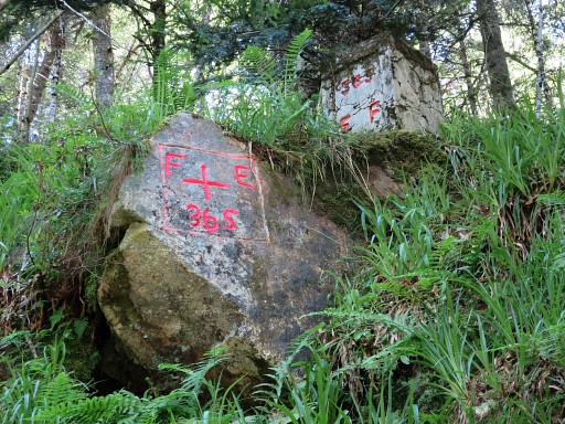
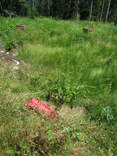
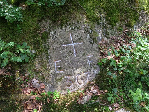
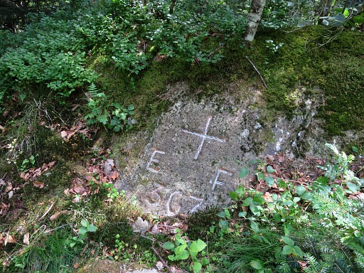
Bm364 has disappeared but we want to establish its original location. We measure from bm363 with our 40m cord the 243m along the trail. In between, we spot left of the trail, this rock with a red vertical line and E and F on either side of it. In fact most of the 'double stripes'-trees are left of the trail between bm363 and the probable spot of 364 |
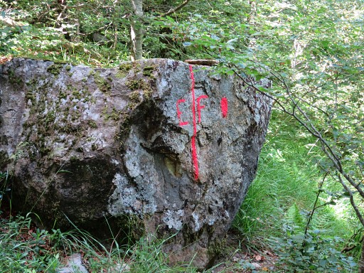 |
Zoom-in of previous picture. The treaty of 1863 tells us that the borderline followed - from bm360 to 366 - a "percée" made in the forest. That 'percée' can be translated in this context as a corridor through the forest. But that corridor of 1863 might have had a (slighly) different course than the trail/dirtroad of nowadays. |
 |
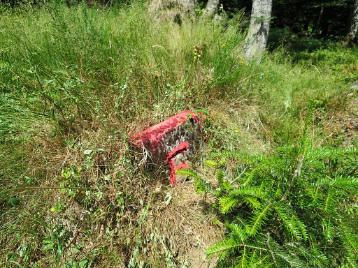
When measuring the
243m from bm363 and then the 143m back from bm365, we can establish the
probable spot of the disapeared bm364. And that's about here where a rock lies besides the forest road. |
 |
Jacques Koleck arrived with his own measuring at the same spot and he suggests that this rock was the original bm364. But there's no trace on the rock of a bordercross but that side may be buried. |
 |
Paco Nudels does show a picture of the original cross on this page. He got his picture from the "Archives de La Guardia Civil". Paco supposes that the rock has tumbled down when the forest road underneath was dug. |
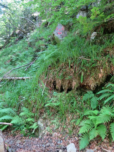 |
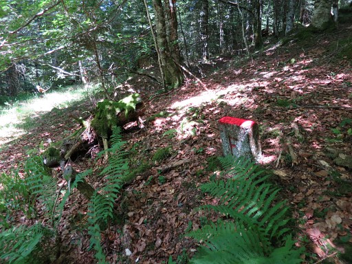
We continue to bm365 which you can miss easily, being engraved high above the forestroad. |
 |
Bm365 |
 |
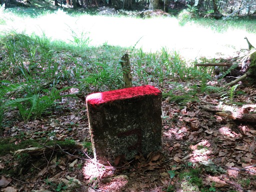
Bm365 The complimentary concrete marker on top (also at bm363) is of an unknown date. |
 |
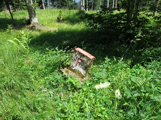
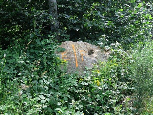
Beyond bm365 we continue on the forestroad and keep a special eye on the unnumbered submarkers between bm365 and 366. Until the tarmac road, they are on the right side of the forestroad. This is the first one, it has a F on the road's side and |
 |
an E (in mirror-writing) at the other side. We have no idea when they were placed nor how many. We will find 5 of them between bm365 and the tarmac road leading up to Col du Portillon. Along that tarmac road there are another 2 of them. Jacques Koleck found in 2010 alltogether 9 of them. For their waypoints: track-20150707.kml (click to open in Google Earth) or click right on this link to download the gpx-version. |
 |
The second one: F-side |
 |
The second one: the E-side (E in mirror-writing). So: the F-side is facing France, the E-side facing Spain. Further on - along the tarmac road - it will be in reverse. |
 |
The third one: the F-side |
 |
The third one: E-side |
 |
The fourth one: F-side |
 |
The fourth one: E-side |
 |
The fifth one: F-side |
 |
The fifth one: E-side |
 |
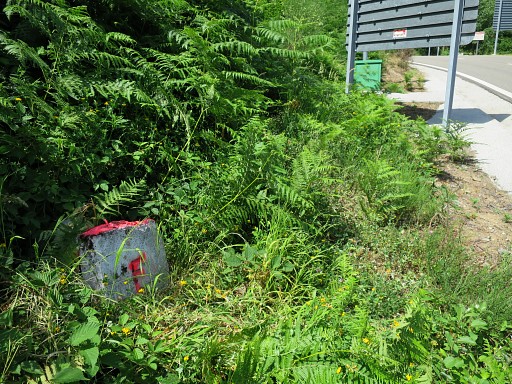
The forestroad ends at the tarmac road with |
 |
this triangular unnumbered bordermarker |
 |
This is the side where once 'FRANCE' was shown |
 |
with at the other side |
 |
"ESPANA" |
 |
The sixt submarker: F-side but now facing Spain. |
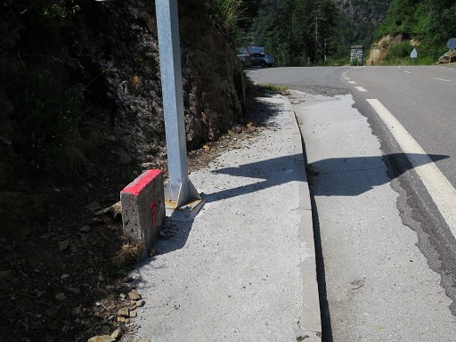 |
And the seventh one: F-side, also facing Spain. Right ahead - at the middle of Col du Portillon - there's another unnumbered bordermarker. It's similar to the triangular one before but now quadrangular. |
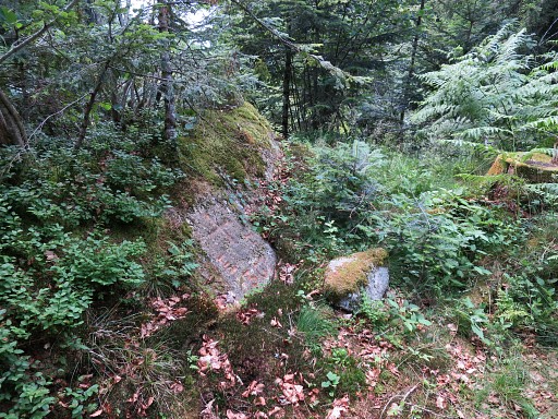 |
We finish our trip
with a visit of bm367 which I only did once so far. Even with a
gps-waypoint it's not an easy find on the forested hillridge. Directions: from the Col du Portillon follow the dirtroad which goes E-NE There are 3 successive open spots at the left side of the dirtroad: the first one after 250m, then after 100m a second one with a trail going left. Finally after 75m a third one with a forestroad going left. About 75m further, you can enter the forest on a path towards bm367. |
 |
Bm367 |
 |
Bm367 |
 |
Bm367 from some distance |
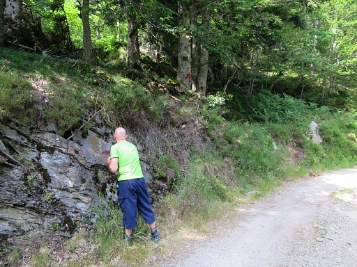 |
I decide to mark the route from the dirtroad to bm367 with paint and cairns. All in order to help you! |
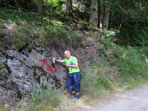 |
The results. Note the arrow on the tree in the background. |
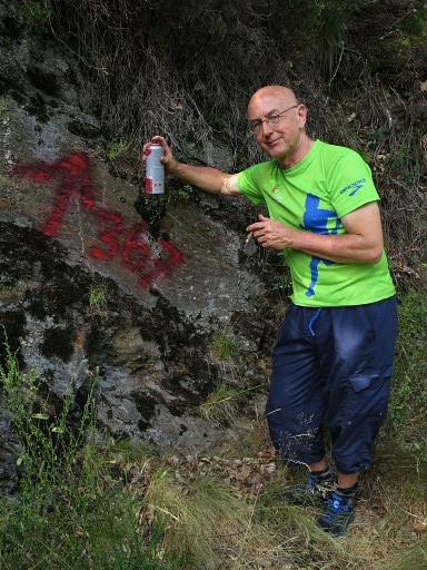 |
This waymarking is also a kind of tribute to Josette Darrieu – the wife
of Charles Darrieu – who sadly passed away in april of this year. She was the one who – in 2007 – discovered bordercross 367 under a layer of moss and earth. |
 |
This picure: back on the road and looking towards the spot where you have to enter the forest. |
 |
And this is a zoom-in from previous picture. |
 |
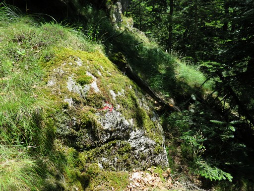
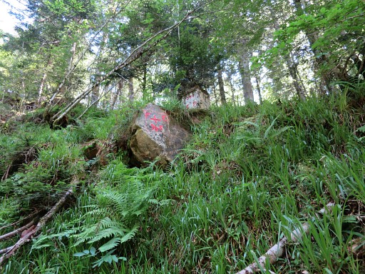
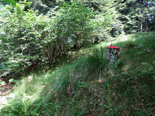
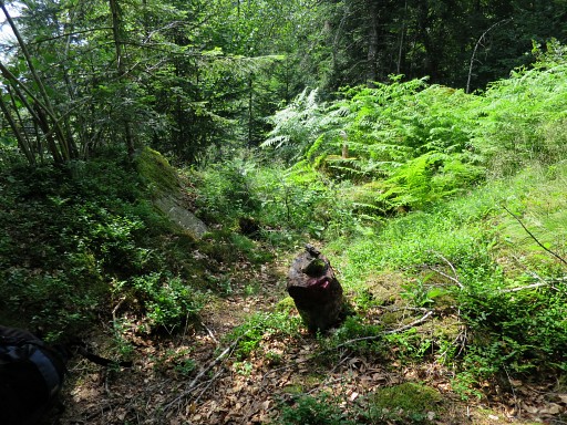
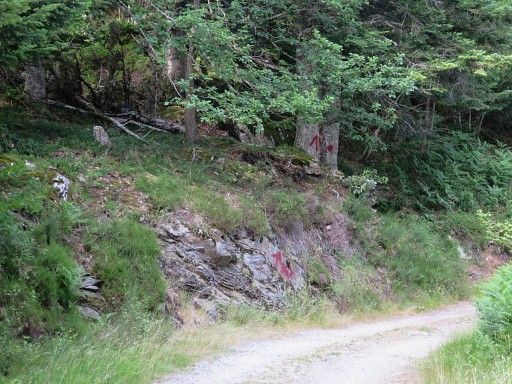
On our way back to Col du Portillon,
we spot this marker in the forest. There are more markers like this one
but usually the paint is red. |
| previous
trip next
trip |
|