|
The
bordermarkers of the Pyrenees : all my trips
 |
|
| - saturday 5 september
2015 - Cold and cloudy |
 |
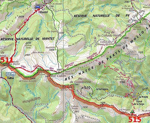 |
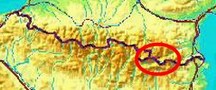
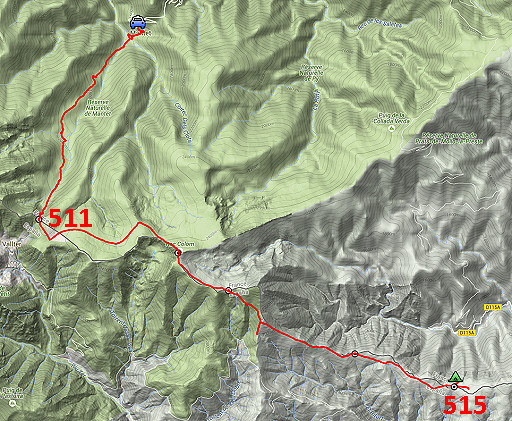
track-20150905.kml (click to open this trip in Google Earth or copy link to Google Maps; click right on this link to download gpx-version Summary: part of a 10-days trip to the Pyrenees, mainly meant as a reconnaissance for the GRPdesBf, starting with a two days roundtrip from Mantet re-doing bm511 to 517. Today: from Mantet to Porteille Mantet (bm511) and proceeding E along the borderridge to Col Pregon (bm515). Weather: on the mountain ridge: cloudy, foggy, cold |
 |
For
explanation of
the gps-coordinates and other cartographic backgrounds: see the cartography-page The gps-track has not been manually corrected which explains the inaccuracy and misalignment at some points. GPS - 24,7 km - max H = 2499m - elevation gain: 1224m - time: 9.48h Started at 9:45, no break , finish at 19:30 = 9.45 net walking time |
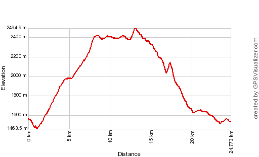 |
According to Gps-Track-Analyse - distance : 25,1 km - cum. elevation gain : 1604m - cum. elevation loss : 1646m - total elevation: 3250m - altitude maxi : 2495m - altitude mini : 1463m - altitude average : 1966m |
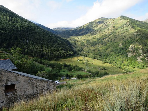 |
I arrived in Mantet in the morning after a long drive through the night from Holland. This picture: from the lovely village of Mantet looking towards the valley to climb to Porteille Mantet. The route is well way-marked. |
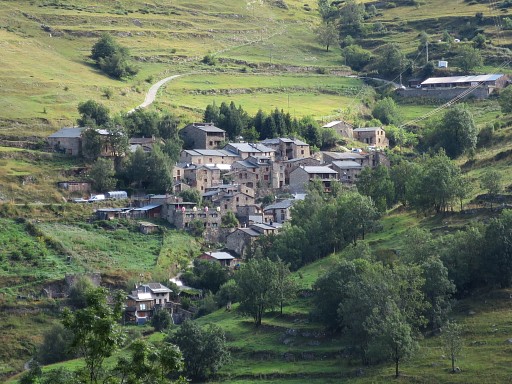 |
I'm on my way, looking back to Mantet. |
 |
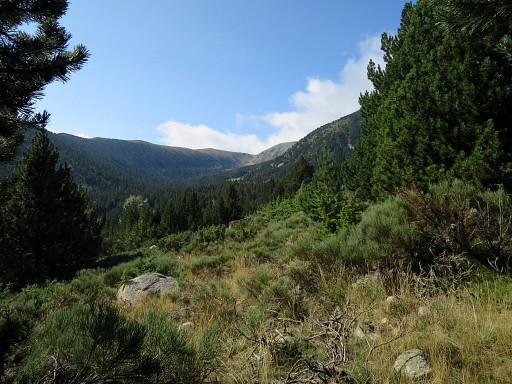
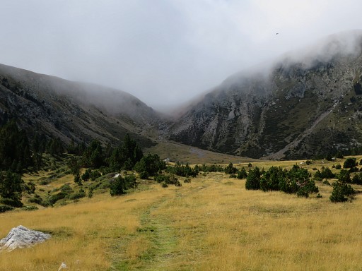
It's a long and steady climb, clouds drift in. |
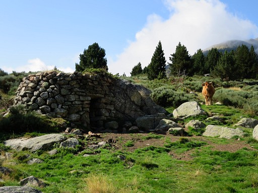 |
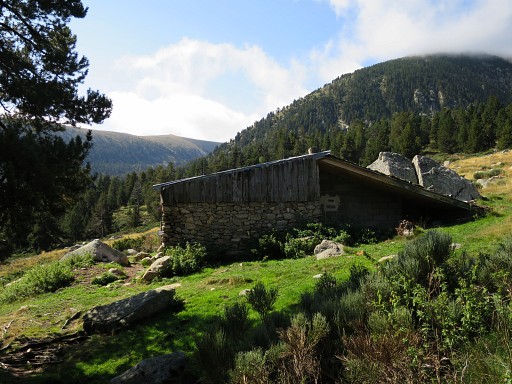
A simple shelter |
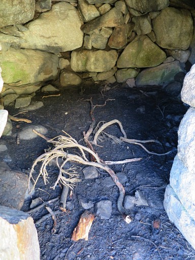 |
with no furniture whatsoever |
 |
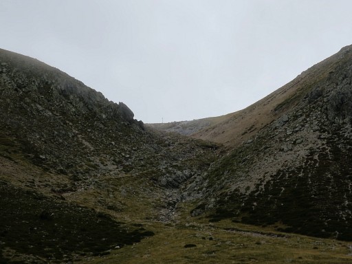
The Porteille Mantet becomes visible |
 |
Zoom-in |
 |
This is the spot where the GR10 branches off to the right. But I have to continue straight on. |
 |
Not much further is |
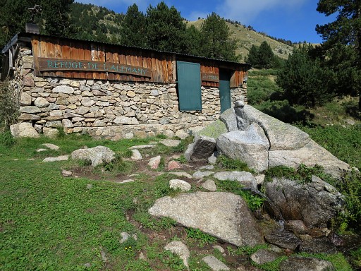 |
the nice Refuge de l'Alemany |
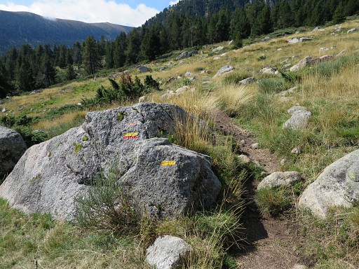 |
The waymarking has become yellow/red and yellow. |
 |
The Porteille Mantet getting closer. |
 |
The final part |
 |
With some streaming water available. |
 |
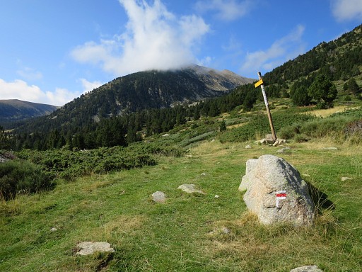
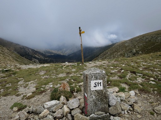
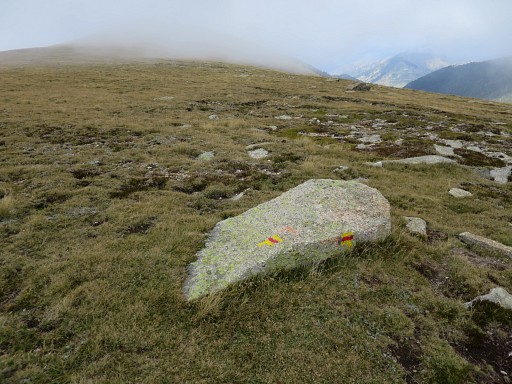
At the Porteille: bm511 appears. |
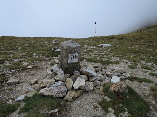 |
Bm511, looking S |
 |
Bm511, looking N |
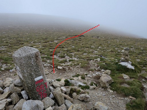 |
Bm511, you see the red/white waymarks of the cross-frontier GR-trail 76. Also (vague) the trail ahead S-SE to follow. |
 |
Bm511, looking N from where I came from. If you walk the GRPdesBF, a spot for bivouac (flat and with water) is not far downhill (± 30min) from here into France. |
 |
This is the trail to follow from bm511: yellow/red waymarked |
 |
but also red/white waymarked. |
 |
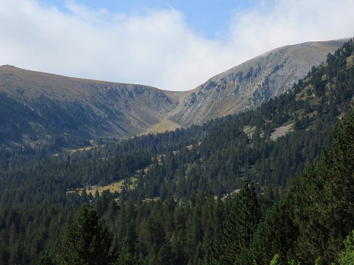
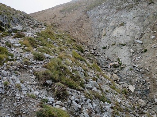
The trail goes underneath the ridge which is to the S and will |
 |
get back on the ridge further on. The waymarks bring me to |
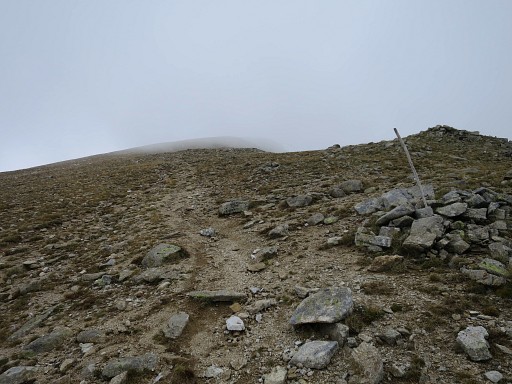 |
the foot of the climb to Roc Colom. Here I have to leave the painted waymarks |
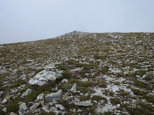 |
to climb - helped by cairns - to |
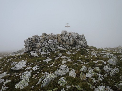 |
this small 'fortress' at the top of Roc Colom. |
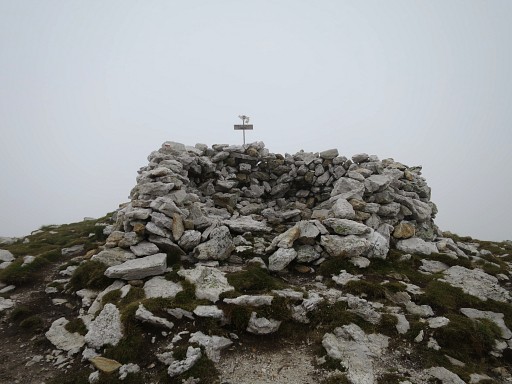 |
Roc Colom |
 |
Roc Colom |
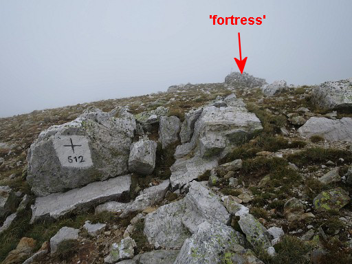 |
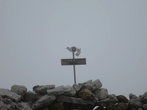
Bm512 is not far away: ± 25m SSW from the 'fortress'. You can spot that fortress from bm512. |
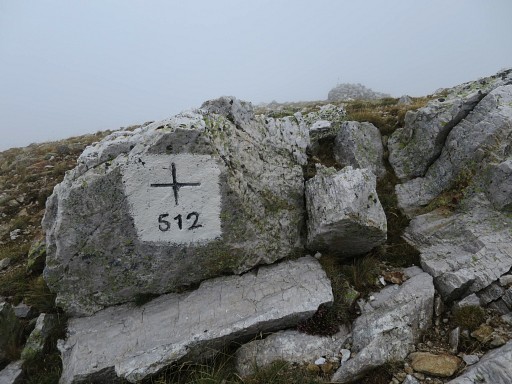 |
Bm512 |
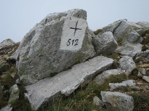 |
Bm512 |
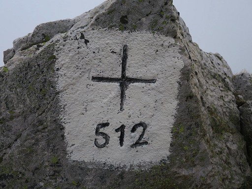 |
Bm512 |
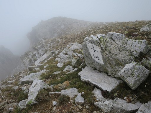 |
Bm512 |
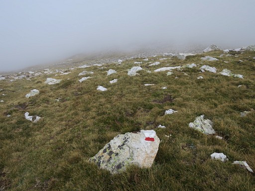 |
From Roc Colom, I descend at the other side S-SE and pick up again the waymarks |
 |
and continue along the ridge |
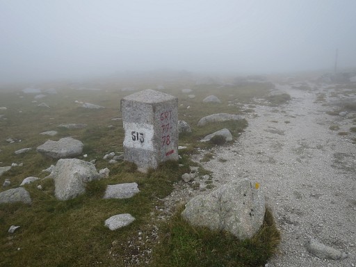 |
until I reach Col del Pall with bm513 |
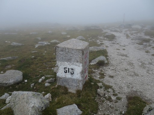 |
Bm513 |
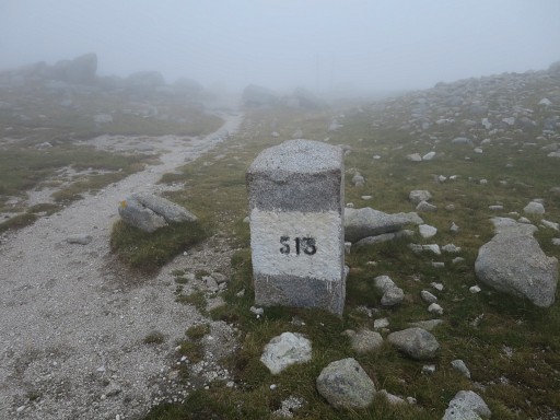 |
Bm513 |
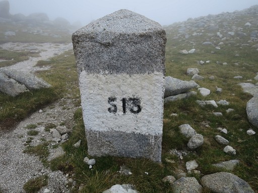 |
Bm513 |
 |
Bm513 |
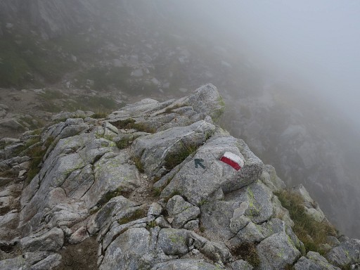 |
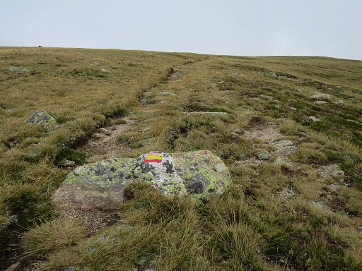
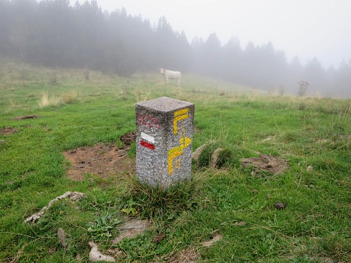
From bm513, I go SE on the trail and these waymarks will guide me SE underneath Pic de Costabonne. You will pass the only watersource on the GRPdesBF-trail between bm511 and 519. |
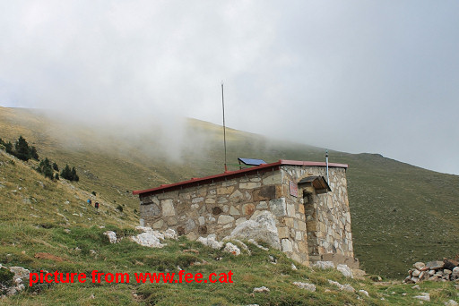 |
There's also a cabin ± 250m S of this trail: Refugi Costaboni. I didn't visit it but pictures on internet show a neat cabin with bunkbeds and there should be source behind the cabin. |
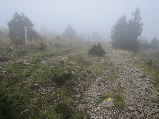 |
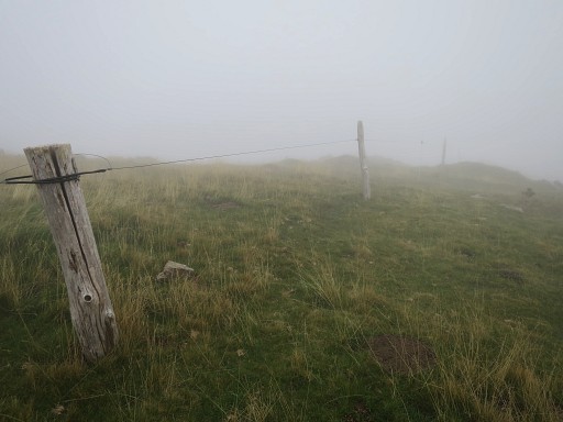
The trail underneath Pic de Costabonne will bring you - from bm513 - after 1,3 km to this fence. The main trail descends along the fence S into Spain. Spot the yellow waymarks. But this is wrong trail. I did try that trail downhill but it brought me further from the borderline. I returned and |
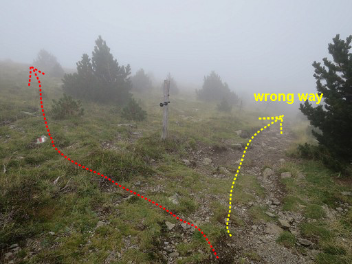 |
instead I crossed the fence and follow |
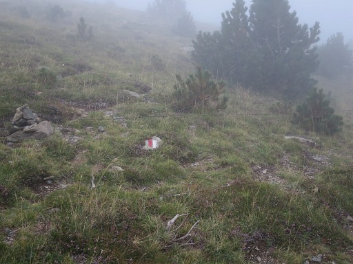 |
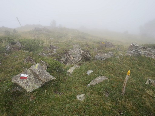
the red/white waymarks |
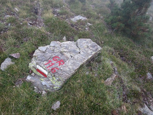 |
from this GR-variant |
 |
Those waymarks guide you - gradually descending - in ± 250m SEE to this second fence. Now I'm back at the borderline |
 |
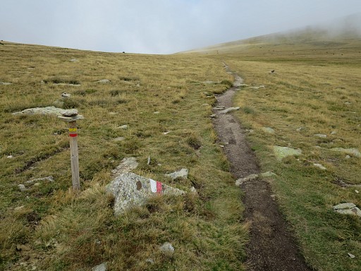
and all I have to do is continue along the red/white and yellow waymarks |
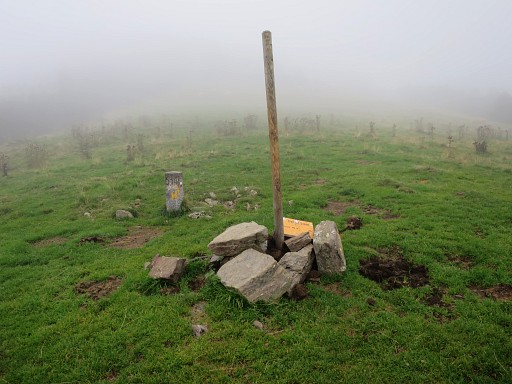 |
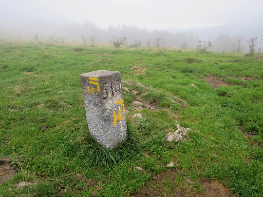
which bring me to bm514 |
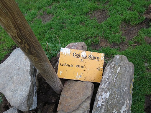 |
at Col de Siern. |
 |
Bm514 |
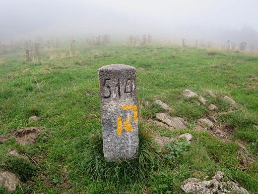 |
Bm514 |
 |
Bm514 |
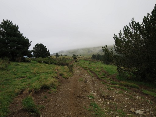 |
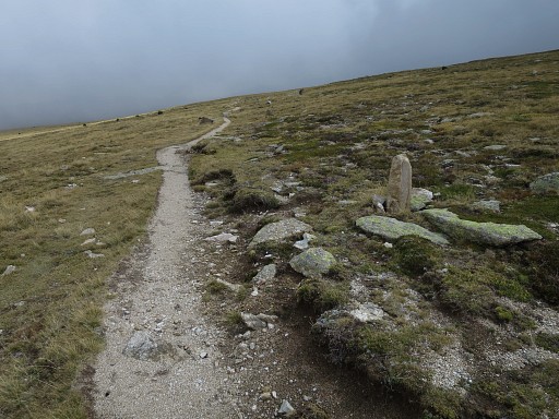
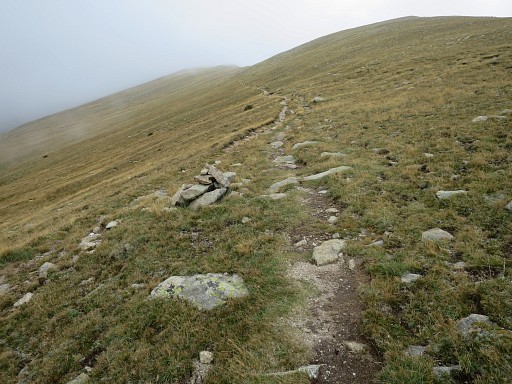
The trails get more distinct and the waymarks lead me further SEE along them to |
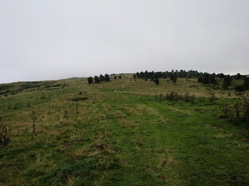 |
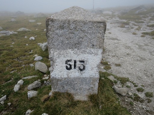
Col Pregon which you can spot in the distance with bm515 |
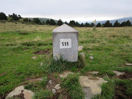 |
Bm515 |
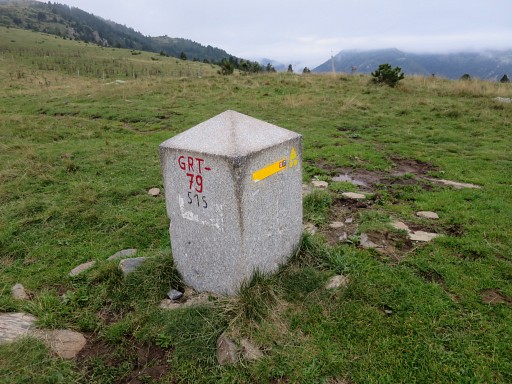 |
Bm515 |
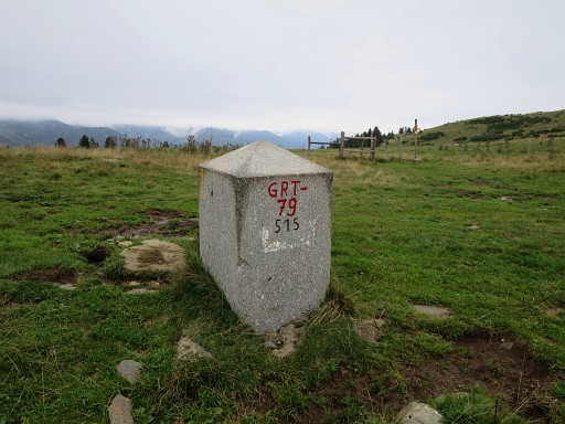 |
Bm515 |
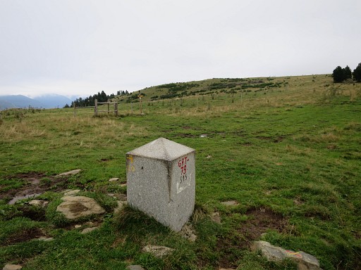 |
Bm515 |
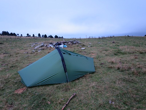 |
My bivouac for the night: just N of bm515. Finding water was not easy. From a swampy area 400m E a tiny but browny stream started. |