|
The
bordermarkers of the Pyrenees : all my trips
|
|
| - thursday 9 july
2015 - Along the Garonne  previous
trip next
trip previous
trip next
trip 
|
 |
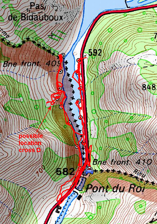 |
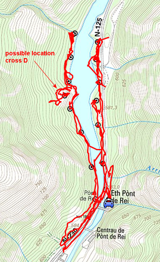
track-20150709.kml (click to open this trip in Google Earth or copy link to Google Maps; click right on this link to download gpx-version Summary: five days of exploring bordermarkers around Bossòst, together with Jan-Willem. Main targets: the unfindable bordermarkers 359, 364 and bm408III & IV. Today: from Pont du Roi once again doing the bm409 submarkers. Also: a search for cross D of the "Terrain indivis de Bidaubus". Weather: sunny & hot |
 |
For
explanation of
the gps-coordinates and other cartographic backgrounds: see the cartography-page The gps-track has not been manually corrected which explains the inaccuracy and misalignment at some points. Started at 9.30, finish at 12.45 According to visugpx - distance : 6,1 km - cum. elevation gain : 81m - cum. elevation loss : 97m - total elevation: 178m - altitude maxi : 620m - altitude mini : 576m - altitude average : 593m |
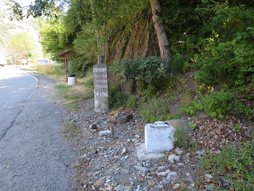 |
At Pont du Roi: bm410 with in front the damaged bm409-7fr. About the damaged one: see this blog-post |
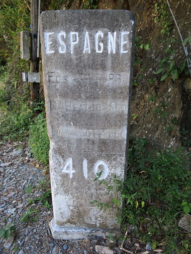 |
What surprises me: since my last visit on 20140905, the large letters have been repainted and the small ones cleaned. And this is not the only act of maintenance: all (sub)markers 409-410 have been cleaned and cleared since my last visits in 2014. |
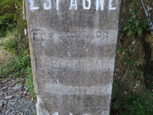 |
Close-up |
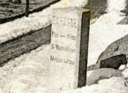 |
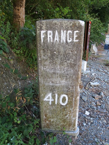
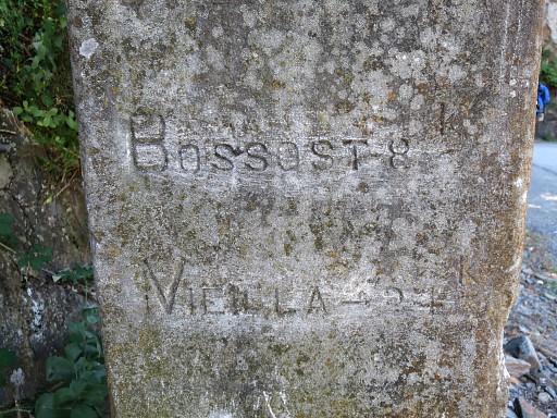
This is an old picture of the same marker when it was still a milestone. See this page. In the "Journal de la restauration de l'abornement de la Haute Garonne" by Jean Sermet (1957) we can read that the joint border-commission promoted this triangular milestone to the official bm410 by engraving the number 410. They couldn't find the original quadrangular bm410. |
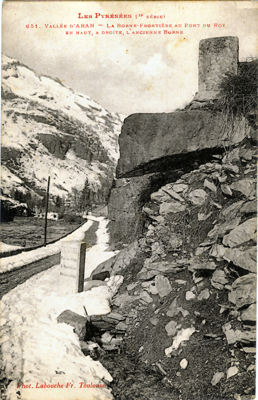 |
And that original and disappeared bm410 can be seen on an old postcard, provided by Charles Darrieu. |
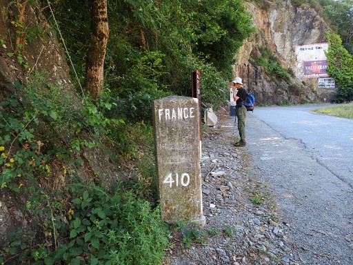 |
The other side of bm410 |
 |
Close-up |
 |
Close-up |
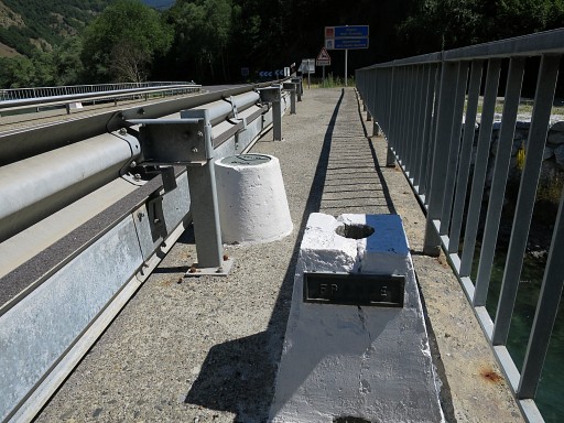 |
Then the unnumbered bordermarkers on the new bridge over the Garonne. The marker in front was meant to hold a flagpost (I think) |
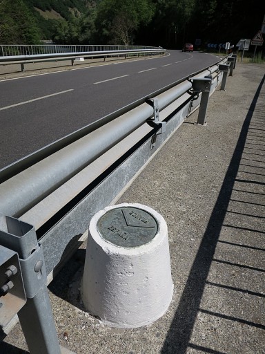 |
But this is the real one showing the borderline on a plaque. This marker was repaired in 2012: see this blog-post |
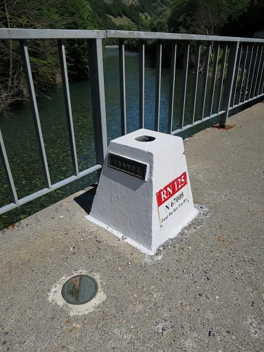 |
On the other side of the bridge a second plaque. |
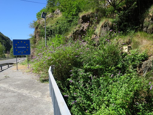 |
Bm409-7es, as seen from the bridge. |
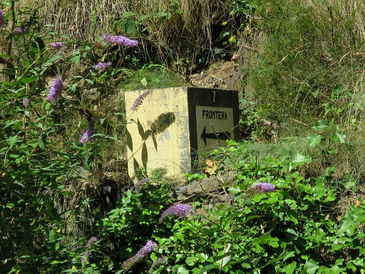 |
Close-up. This bm can't be reached from the bridge but |
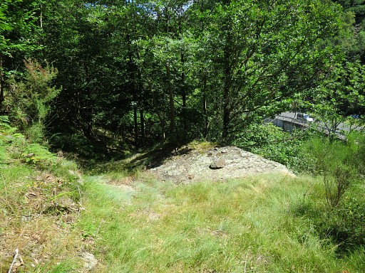 |
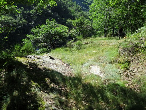
only from the trail at the Spanish side of the Garonne. It's a short walk along the road into Spain to get on that trail which then goes N along the river. At this point - looking N - where a cairn is made, you can descend to bm409-7fr. We will do that on the way back. |
 |
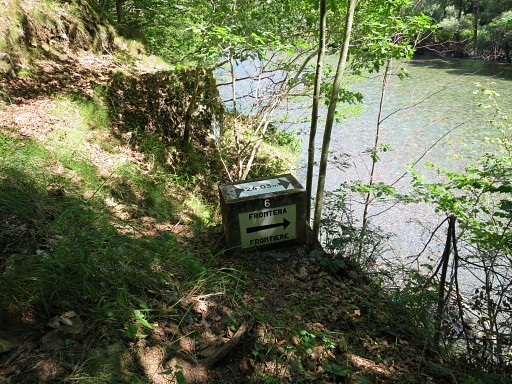
Same spot with same cairn, now looking S. |
 |
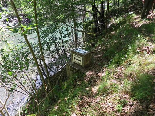
Along the trail: bm409-6es |
 |
Bm409-6es |
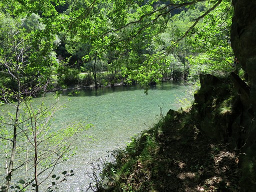 |
Then a view to the other side of the river where we can spot |
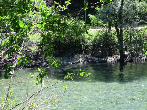 |
bm409-6fr which was underwater last year at 20140527 |
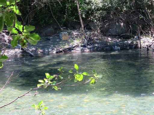 |
Bm409-6fr, zoom-in |
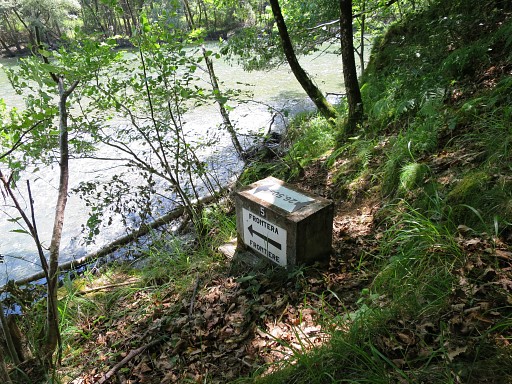 |
Bm409-5es, off the trail near the river. |
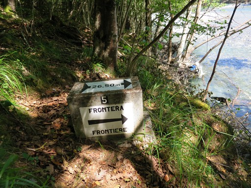 |
Bm409-5es |
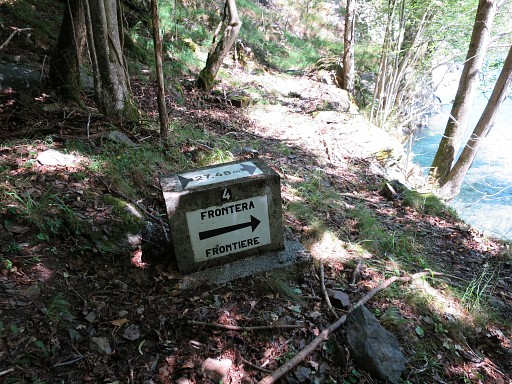 |
Bm409-4es, along the trail |
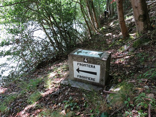 |
Bm409-4es |
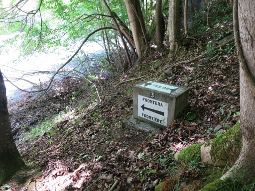 |
Bm409-3es, along the trail |
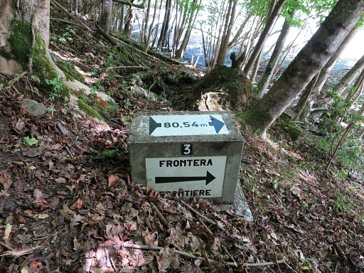 |
Bm409-3es |
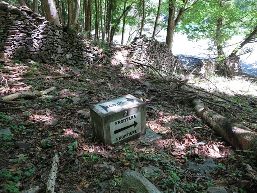 |
Bm409-2es, off the trail near the water |
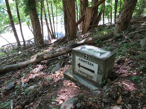 |
Bm409-2es |
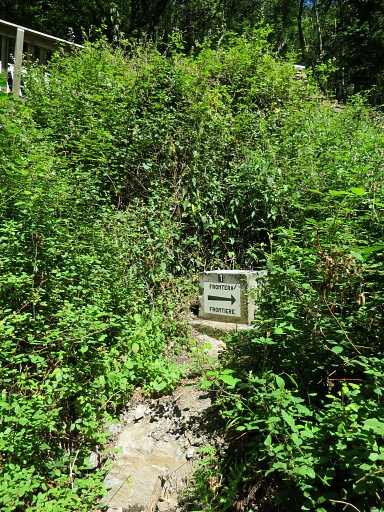 |
Bm409-1es, down below the bridge over the borderstream "ruisseau du terme". |
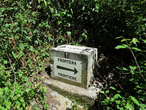 |
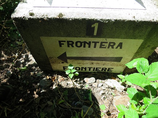
Bm409-1es |
 |
Bm409-1es |
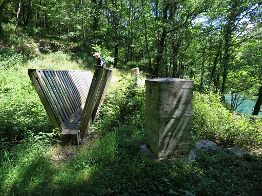 |
Bm410 with the bridge over the borderstream |
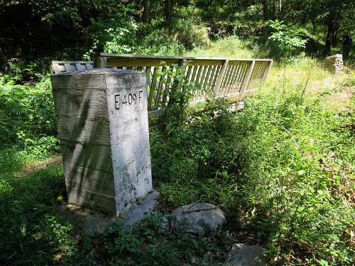 |
Bm410 |
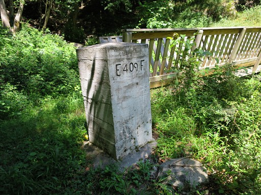 |
Bm410 with at its foot a concrete and mysterious round stone. See this page. |
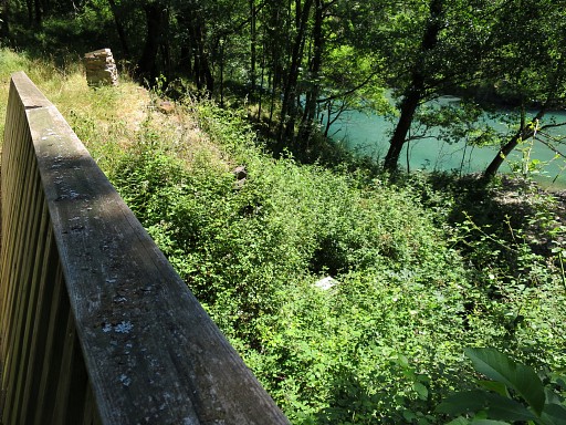 |
Bm409-1es as seen from the bridge. |
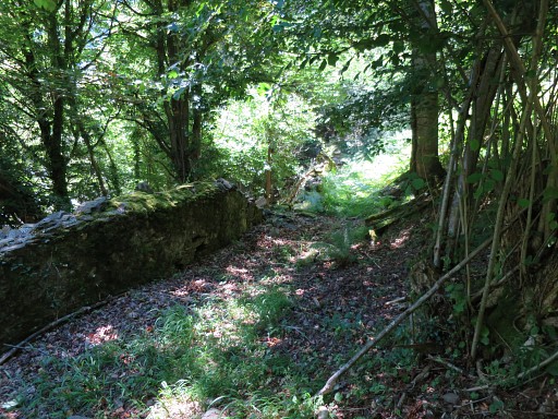 |
We return along the trail. This picture: the wall along the trail with |
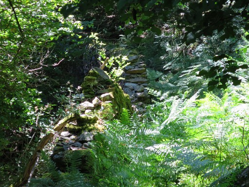 |
- zoomin - the breach in the wall where you can descend to bm409-2fr |
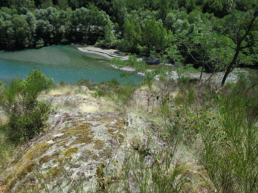 |
Then- a bit further - we climb the rocky hill along the trail. This is probably the spot of cross D of the undivided terrain of Bidaubus. For more information about this "terrain indivis" and its crosses: see this page. But we can't find any trace of a cross. |
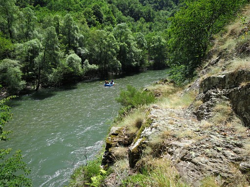 |
Back on the trail. Further on: rafters on the Garonne. |
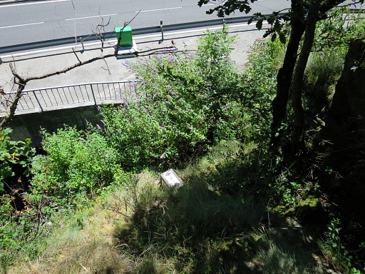 |
Now, I do descend to bm409-7es |
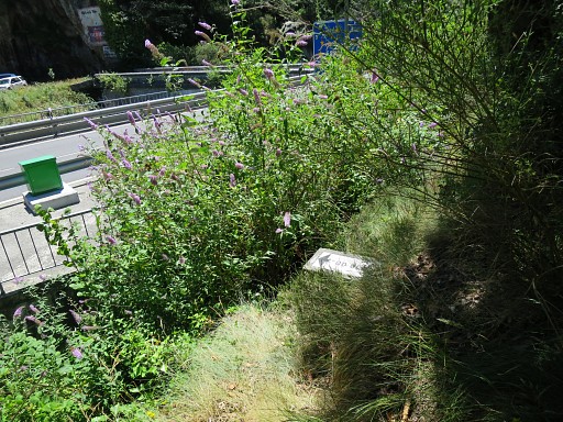 |
Bm409-7es, getting closer |
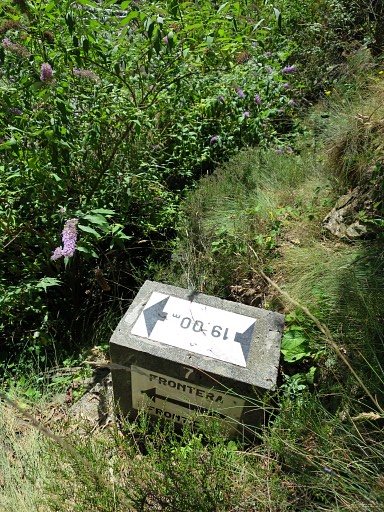 |
Bm409-7es |
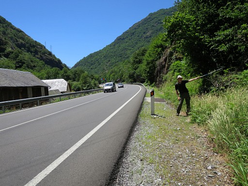 |
And back at the road, looking S. Jan-Willem stands and shows where the trail starts. |
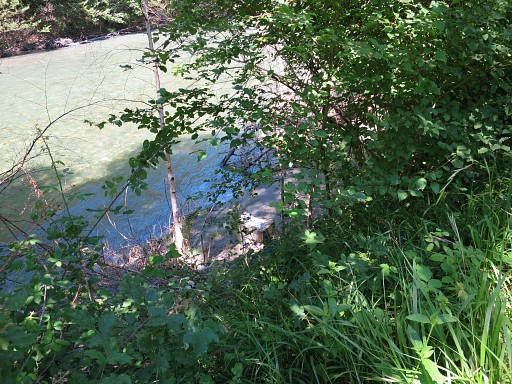 |
Then along the French riverside to re-do the six submarkers along the river (nr. 7 is located near bm410, see above). First bm409-6fr, seen from the road, which was underwater last year at 20140527 |
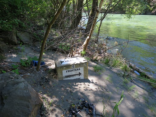 |
Bm409-6fr |
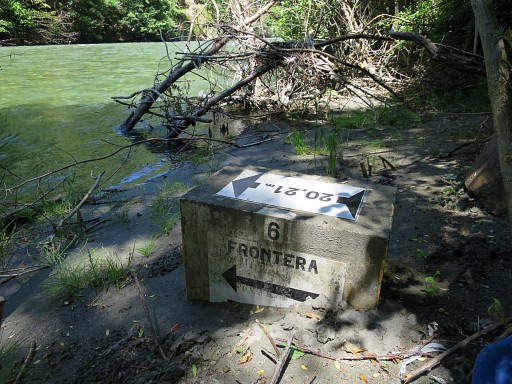 |
Bm409-6fr |
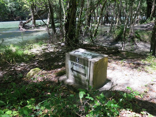 |
Bm409-5fr, just before a parking spot |
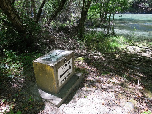 |
Bm409-5fr |
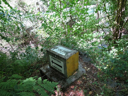 |
From the mentioned parking spot, one can reach bm409-4fr, taking a small footpath into the bush. |
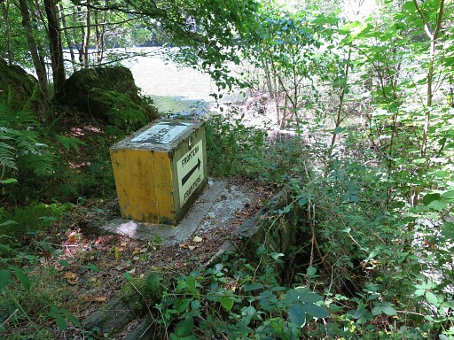 |
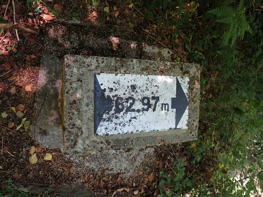
Bm409-4fr |
 |
Bm409-4fr |
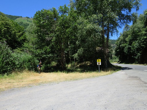 |
Jan-Willem shows where the footpath starts towards bm409-4fr |
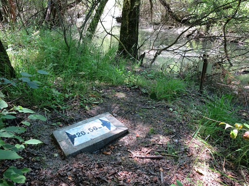 |
Further on: bm409-3fr which was covered by mud last year. |
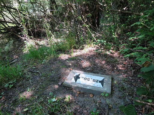 |
Bm409-3fr |
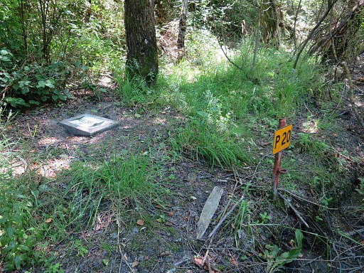 |
Bm409-3fr with the P20-pole which makes finding this marker more easy |
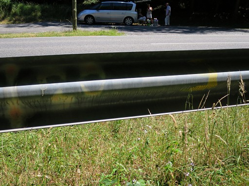 |
At the side-rail, there are indications painted where the submarkers are. Here we see: "P20" and "3" |
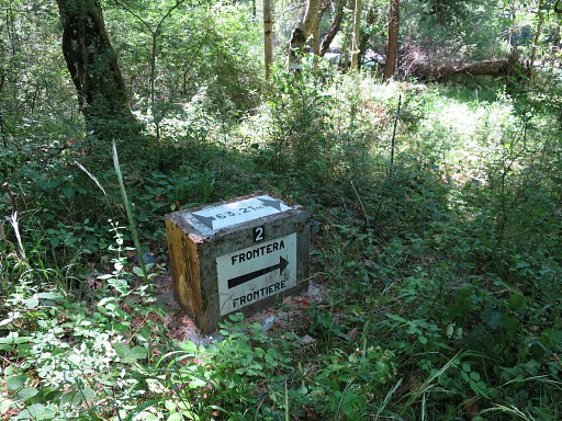 |
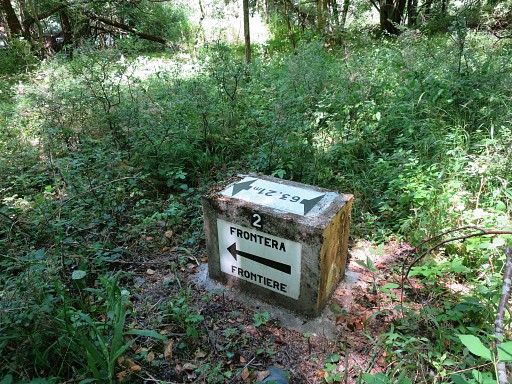
Further on: bm409-2fr |
 |
Bm409-2fr |
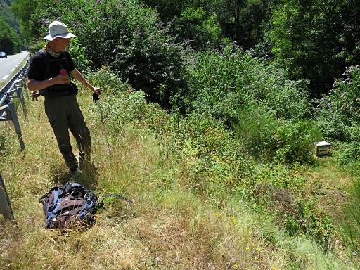 |
Bm409-1fr was difficult to spot from the road last year. Now it has been cleared from the undergrowth. |
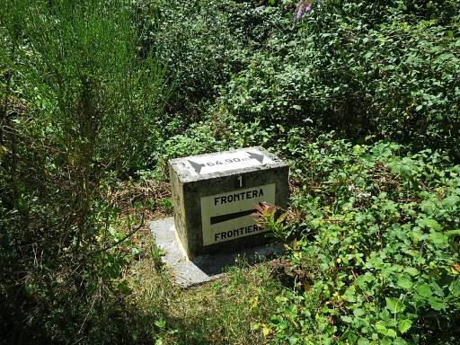 |
Bm409-1fr |
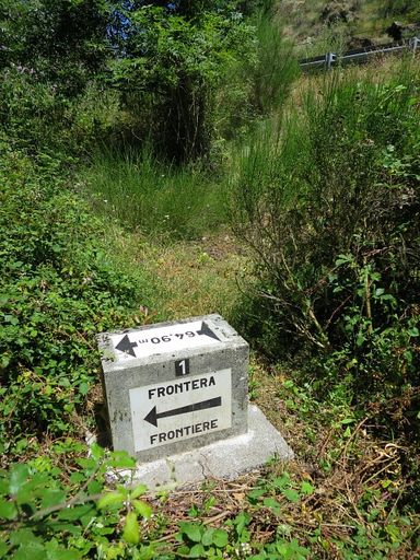 |
Bm409-1fr |
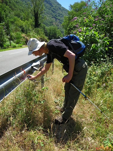 |
We repaint the indications on the siderail. |
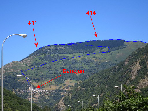 |
And then we finish our holiday with a well deserved paella-lunch in Les. From the terrace this view towards the mountain village of Canejan and the borderridge with bm411-414. The blue dotted line shows the tough variant of the GRPdesBF-stage 410-417 Next day, we will pay a visit to Charles Darrieu and then return home, driving in one go to Holland. |
 previous
trip next
trip previous
trip next
trip 
|
|
