|
The
bordermarkers of the Pyrenees : all my trips
 |
|
| - wednesday 9 september
2015 - Pla de Bouet revisited |
 |
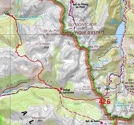 |
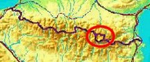
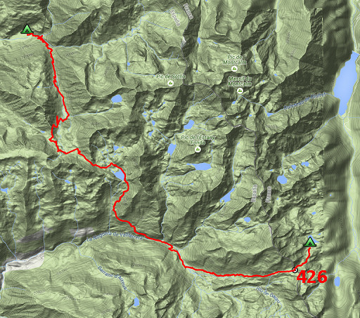
track-20150909.kml (click to open this trip in Google Earth or copy link to Google Maps; click right on this link to download gpx-version Summary: part of a 10-days trip to the Pyrenees, mainly meant as a reconnaissance for the GRPdesBf. This day is one of a week of backpacking from Guzet-Neige to Puigcerdà, traversing Andorra. Today: from Pla de Boavi climbing over Coll de Sellente and descending to Pla de Bouet. Then crossing the Port de Bouet (bm426) and making a bivouac a bit further. Weather: nice & sunny |
 |
For
explanation of
the gps-coordinates and other cartographic backgrounds: see the cartography-page The gps-track has not been manually corrected which explains the inaccuracy and misalignment at some points. GPS - 21,2 km - max H = 2409m - elevation gain: 1757m - time: 10:45h Started at 7:45, break 12-13h, finish at 18:30 = 9:45h net walking time |
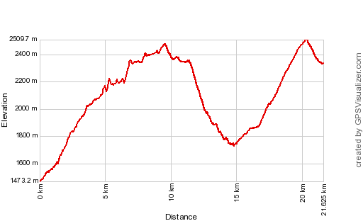 |
According to Gps-Track-Analyse - distance : 22.3 km - cum. elevation gain : 2589m - cum. elevation loss : 1729m - total elevation: 4318m - altitude maxi : 2510m - altitude mini : 1473m - altitude average : 2032m |
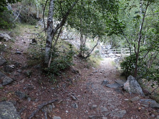 |
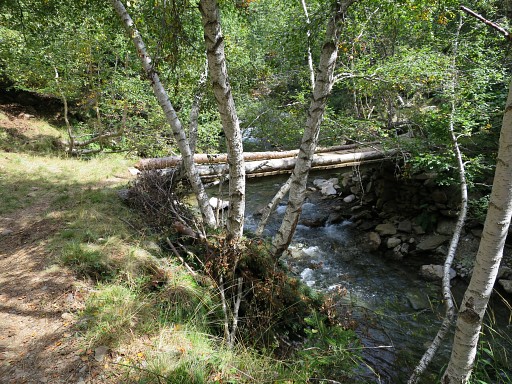
After breakfast and breaking up, back to the bridge. This picture: to the right the bridge to cross to continue S and to the left the trail where I came from yesterday. |
 |
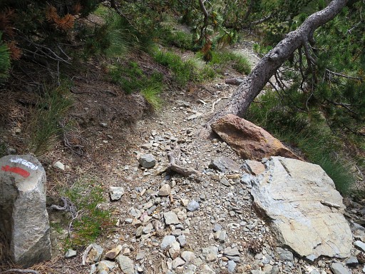
Red-white waymarks |
 |
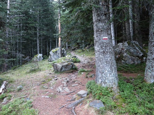
The trail climbs zigzag uphill and it seems a trail which was well built and maintained in former days. |
 |
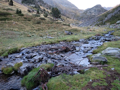
Then crossing the stream |
 |
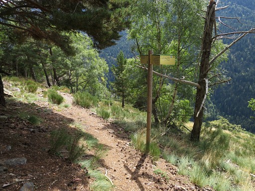
and continuing further uphill along this waysign. In general you have to be attentive not to loose the trail. |
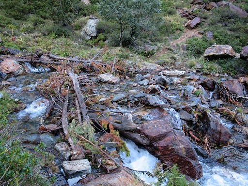 |
This is another crossing of the stream |
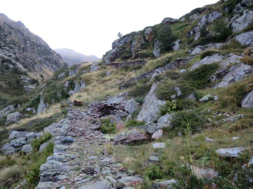 |
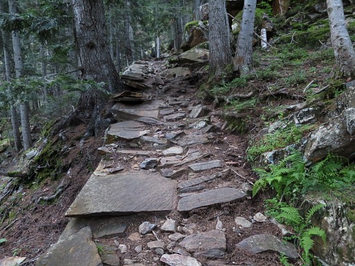
At some places there are remnants of well built paths. |
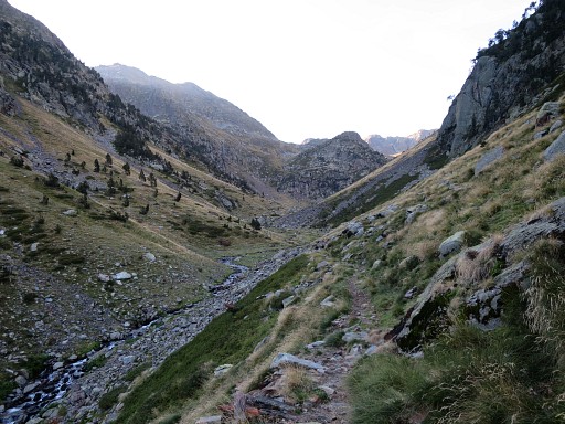 |
I am approaching the upper end of the valley |
 |
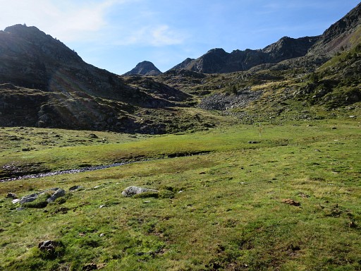
where the terrain gets flatter and a bivouac |
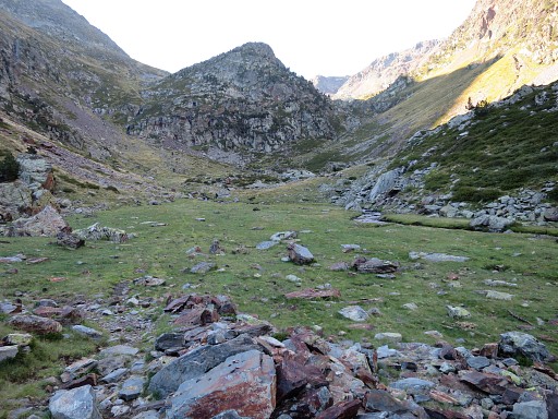 |
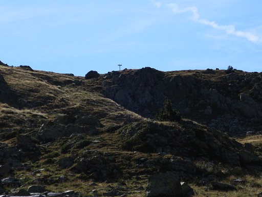
is no problem. About here the trail starts zigzagging uphill |
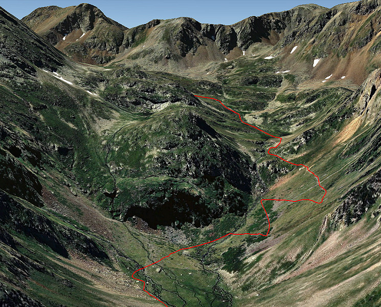 This Google screenshot shows it better. |
|
 |
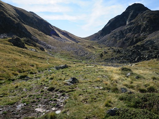
The trail now climbs to |
 |
a higher level, another appropriate spot for a bivouac. The trail is not obvious anymore but the direction is. |
 |
Via two other sub-cols and a tiny lake, |
 |
there's the final climb to Coll de Sellente which is alltogether further away then you might expect. |
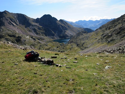 |
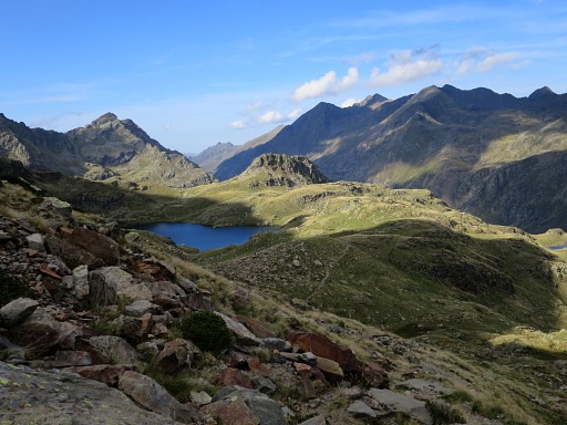
Now I am at the Coll, looking down at the lake of Estany de Baborte |
 |
with a well kept Refuge NW of the lake. It took me about 3,5h to get from Pla de Boavi to this refuge. If you don't need to visit the refuge, then you can head straight to the lake. |
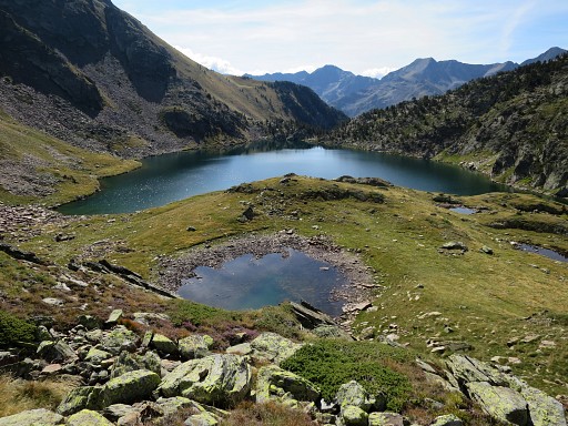 |
From the refuge, this view towards the lake which can be traversed via its left side. From this lake to Pla de Bouet is approx. 2.15h walking. |
 |
Red/white waymarks reappear |
 |
and after the lake it's descending to |
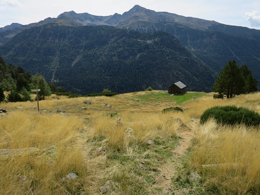 |
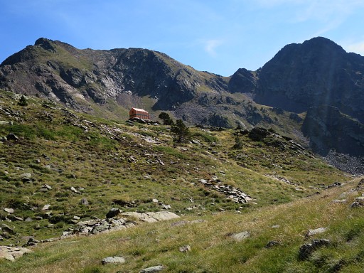
this cabin |
 |
This waypost is incomplete, we miss a sign towards Pla de Bouet. If you take the trail in front of the cabin, going SE, you won't go wrong. |
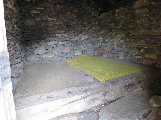 |
The cabin is simple. |
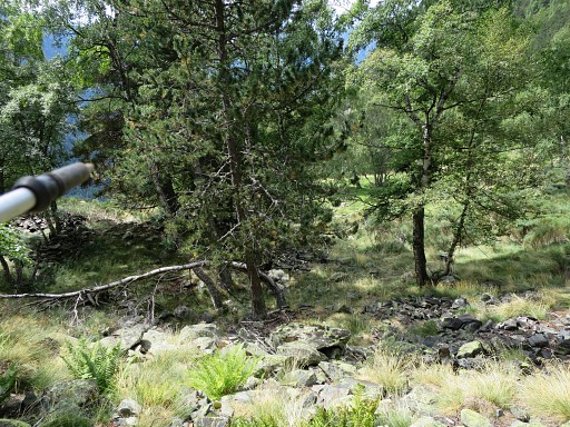 |
On my way down, some meadows to the right which might suit for a bivouac. |
 |
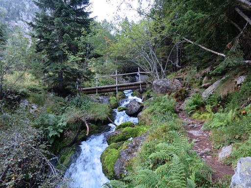
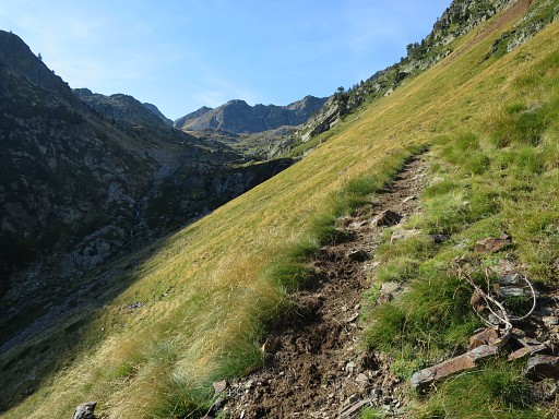
The trail continues, gradually downhill |
 |
until this bridge which brings me to the dirtroad |
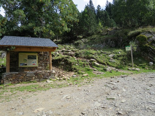 |
which brings me to a parking |
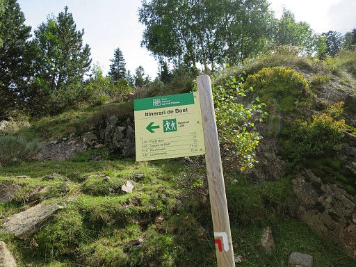 |
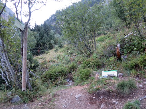
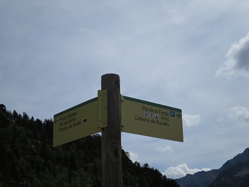
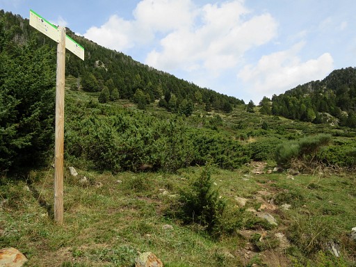
with this signpost, leading to Pla de Bouet. |
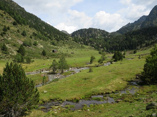 |
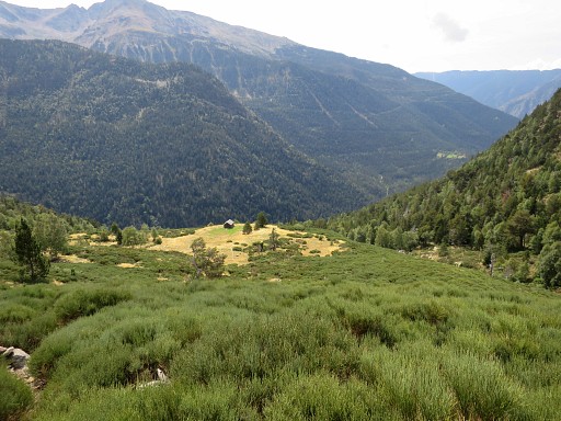
And this is Pla de Bouet (perfect for
a bivouac although the refugi de Val Ferrera is close) en the route
ahead to Port de Bouet. That will take me 2h (from Pla to Port) |
 |
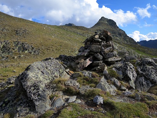
There are waymarks, like this signpost |
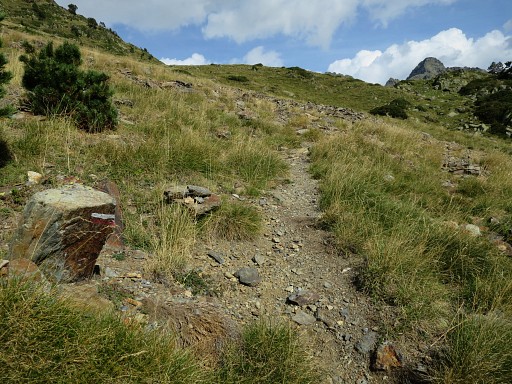 |
or painted waymarks |
 |
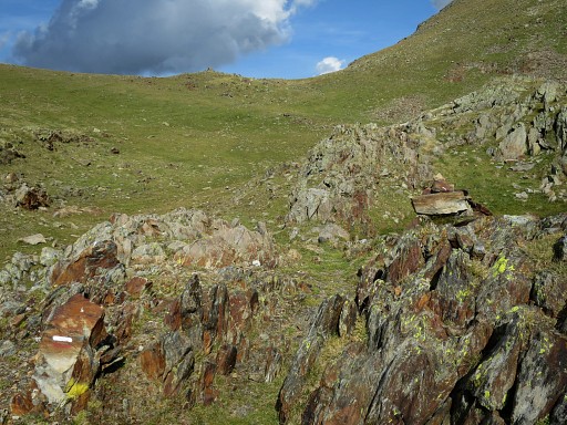
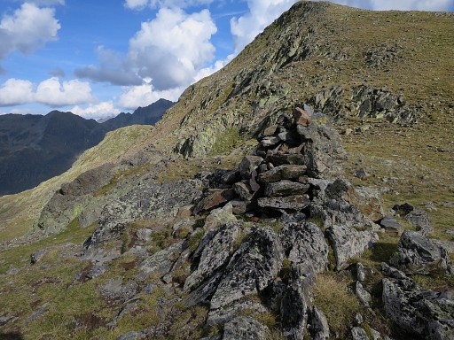
But for a large part, the trail is not that obvious but the direction is obvious and some cairns and painted waymarks will help you. |
 |
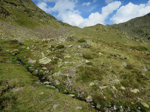
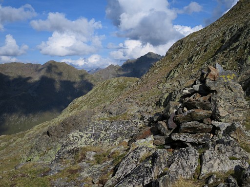
Getting closer to Port de Bouet |
 |
where bm426 is in the middle of the pass |
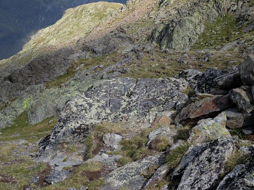 |
Bm426 |
 |
Bm426 |
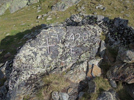 |
Bm426 Note the reverse engraved F and 6 |
 |
Bm426 |
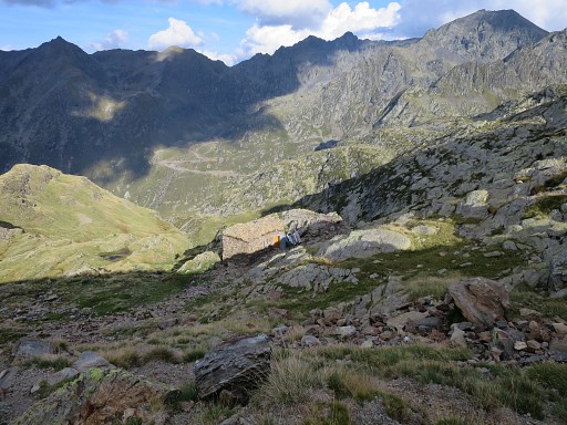 |
Then descending into France |
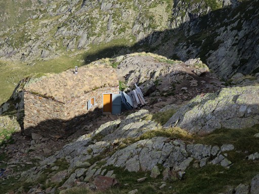 |
where a shepherd's cabin has been built in recent years. |
 |
The trail brings me along a small lake |
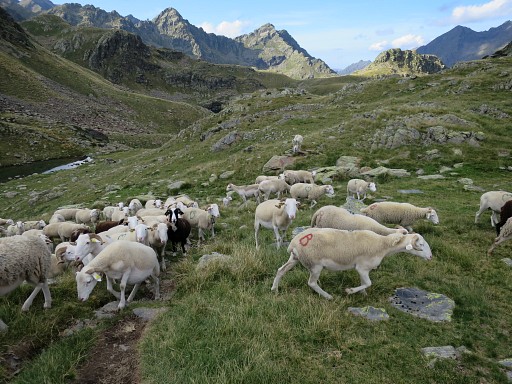 |
and through a herd of sheep to |
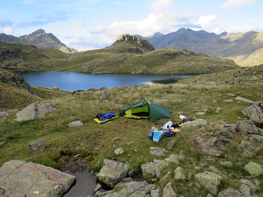 |
this larger lake, a perfect place to stop and pitch my tent. |