|
The
bordermarkers of the Pyrenees : all my trips
 |
|
| -
saturday 29 july
2017 - Exploring routes between bm225 and 227 |
 |
 |
Summary: part of 13 day-trips in
the Pyrenees, covering various
targets from the Basque country up to Llivia. Today: redoing bm222 to 227. Main goal is to test the variant via bm225 and 226 and the trail between a farmhouse and bm227 Weather: plendid |
 |
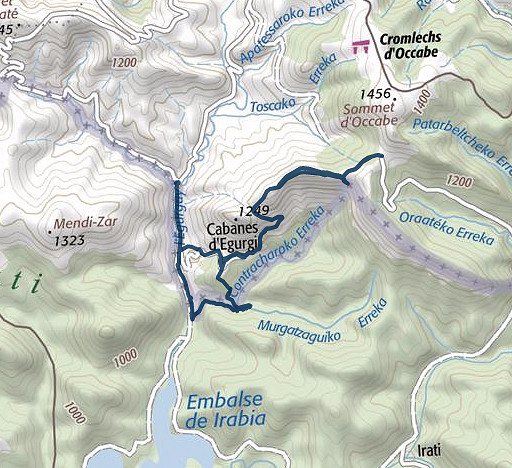
track-20170729.kml
(click to open this trip in Google Earth or copy link to Google Maps; click right on this link to download gpx-version). The gps-track has not been manually corrected which explains the inaccuracy and misalignment at some points. For cartographic backgrounds: see the cartography-page |
|
According
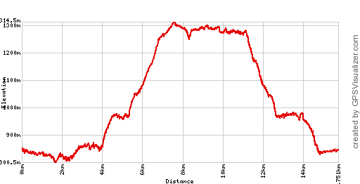
to Google Earth: 14,7km, max-height 1306m, min-height 829m, elevation:
+750m -751m Start 11:13 Finish 16:31 |
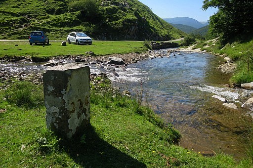
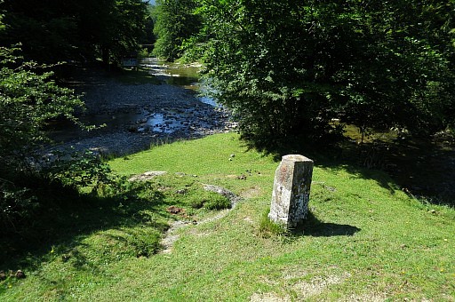
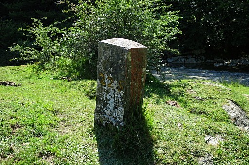
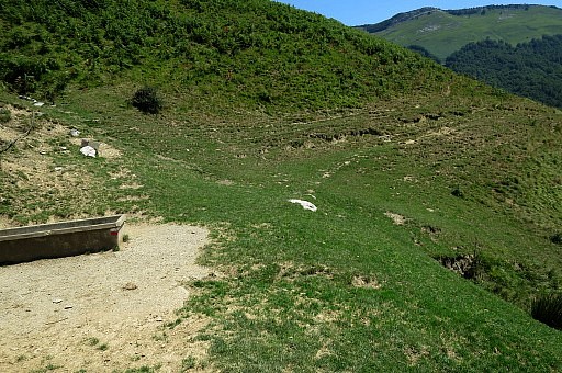
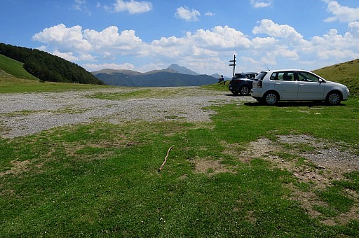
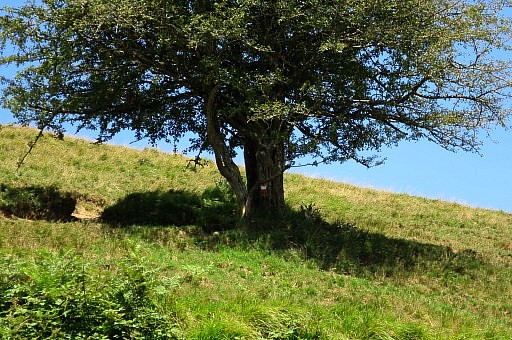
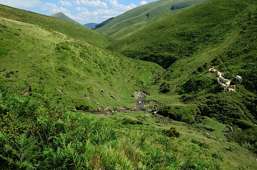
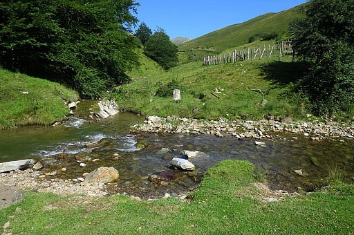 | I park my car at bm224 which stands at the confluence of two streams. |
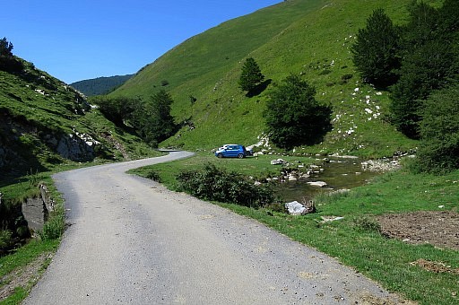 | A small detour |
 | to get close to bm224. |
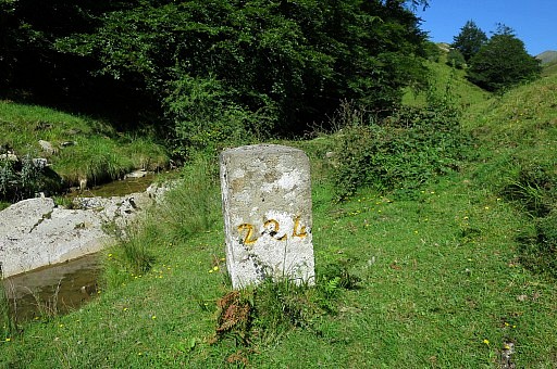
 | Bm224 |
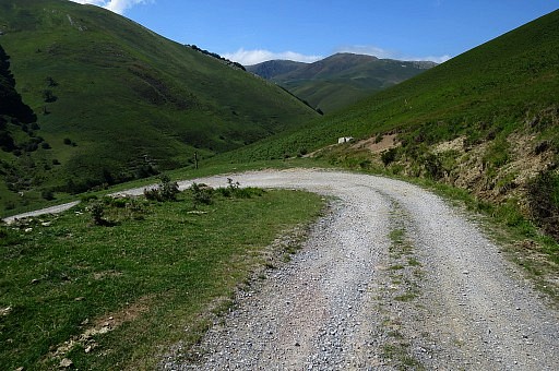
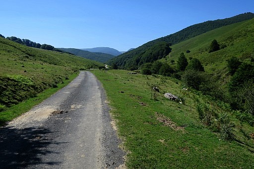 | Then an easy walk over the tarmac road to bm225. |
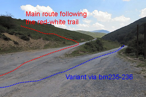
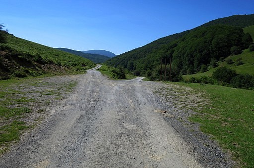 | At this bifurcation, take the right branch for the variant via bm225 and 226. The left branch is for the main route of the GRPdesBF. |
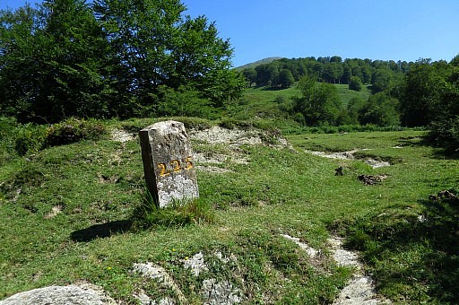
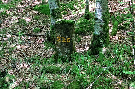
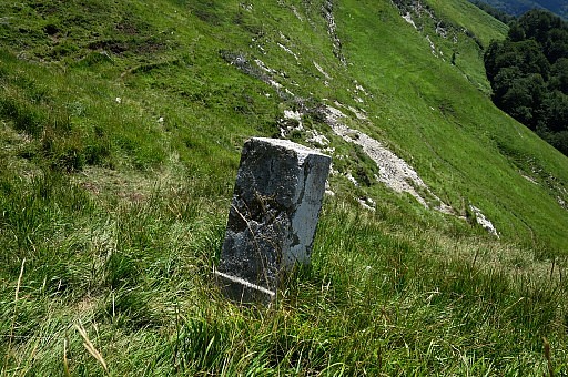
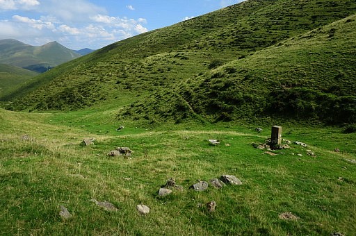
 | Arriving at the spot of bm225 |
 | Bm225 |
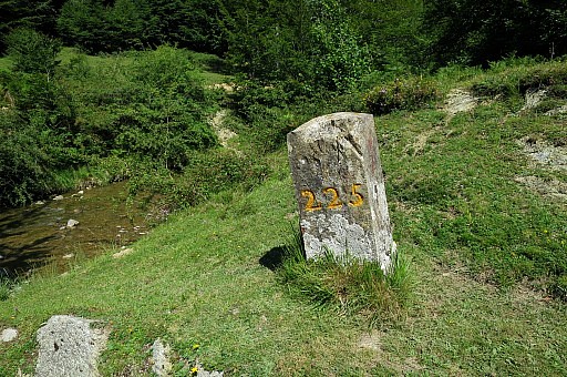 | Bm225 |
 | Bm225 |
 | Bm225 |
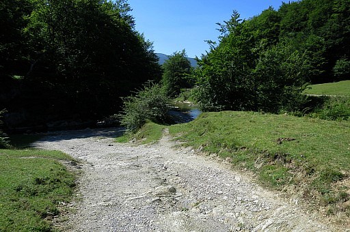
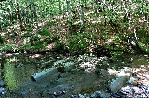
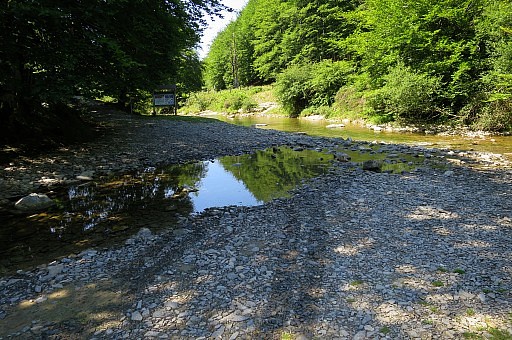 | Just beyond bm225, the crossing of the stream is easy. |
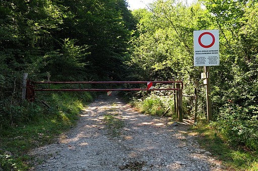 | About 100m further - after passing this barrier - turn sharp left |
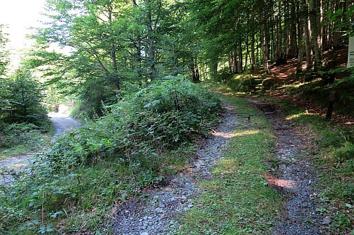 | on this forest road. |
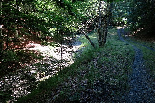 | About 1 km further on, the forest road lowers to the stream(bed) and you can cross it. The forest road/trail goes back along the stream to |
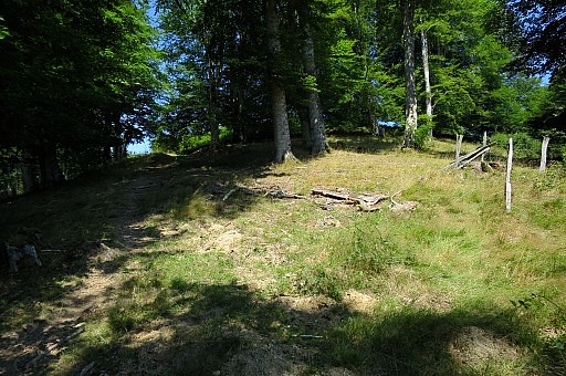
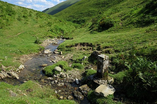
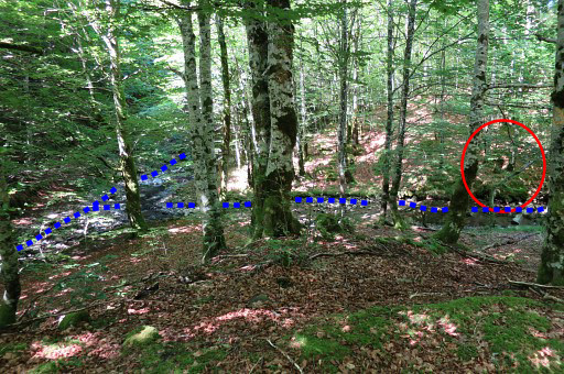 | where a smaller stream merges with the first one. You can spot that confluence earlier from the forestroad. Anyway, that's where bm226 stands. |
 | Close-up |
 | Cross the stream to get there. |
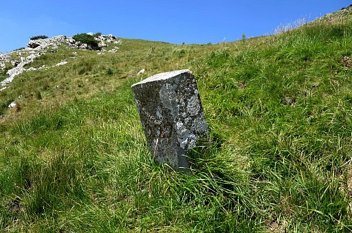
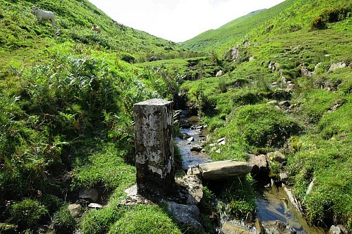
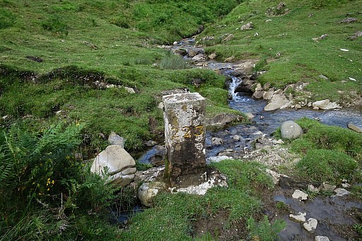
 | Bm226 |
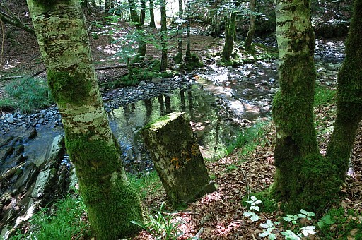 | Bm226 |
 | Bm226 |
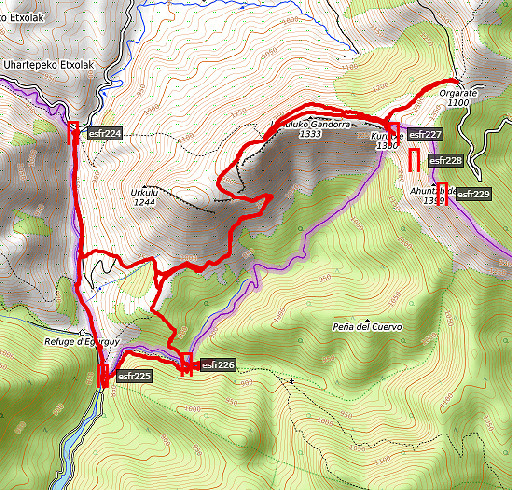
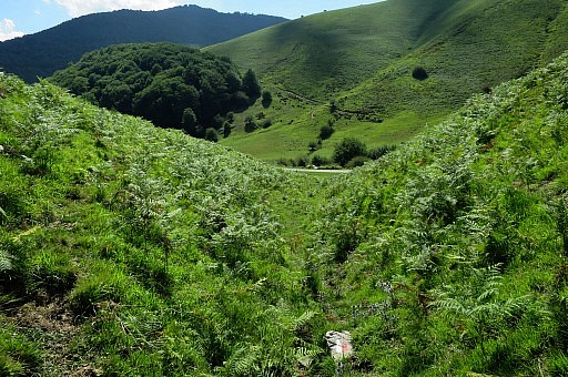
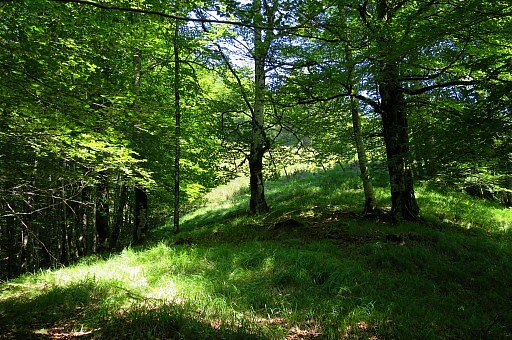 | From there I head NNW and soon |
 | an open space in the forest appears. Because it's a jungle of ferns I go left of it |
 | and climb on the hillridge in NW-direction. |
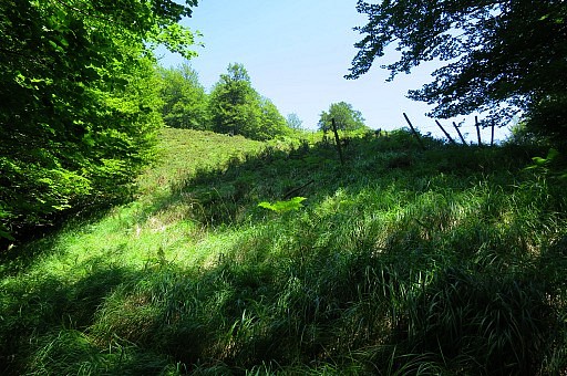
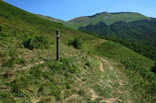
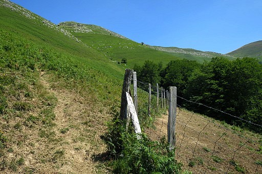
 | I arrive at a track/forestroad with a fence to the right of it. Follow the track (and fence) until you get in more open space. |
 | Keep going in NW-direction, leaving the fence when it bends to the right. That is here. |
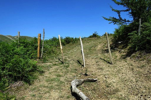 | Cross this gate and |
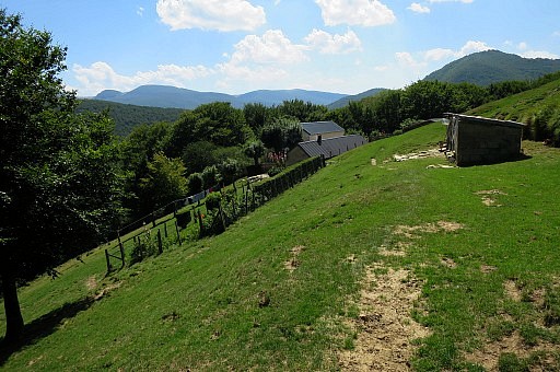
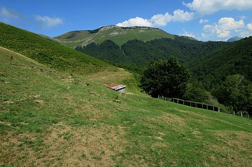
 | you will arrive at a road. That road leads to a farmhouse where the road ends. |
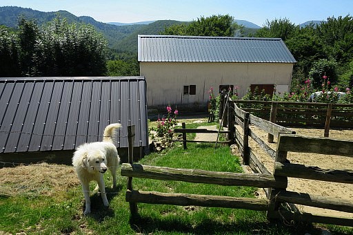 | The
farmer and his dogs are surprised to see me and the farmers tells me
that the trail is in fact a little bit higher above the farm . On my way back I will find out how the actual course of the red-white trail is. |
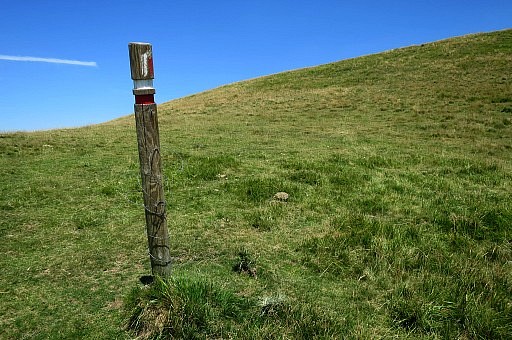
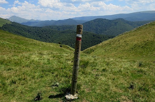
 | Anyway, above the farm there is a red/white trail which |
 | is very well waymarked. |
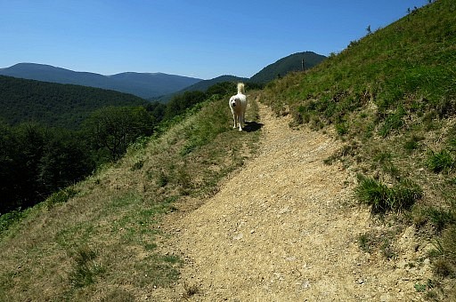 | The white dog keeps following me for a while. |
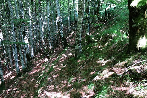
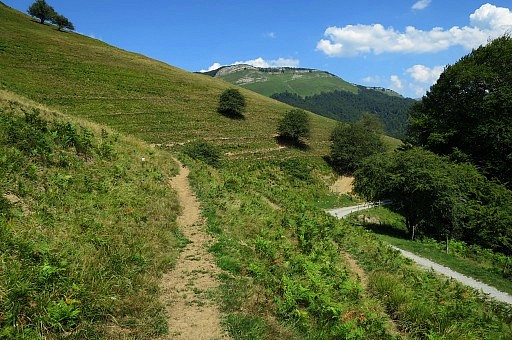
 | It's a tough climb up to the hill-ridge. |
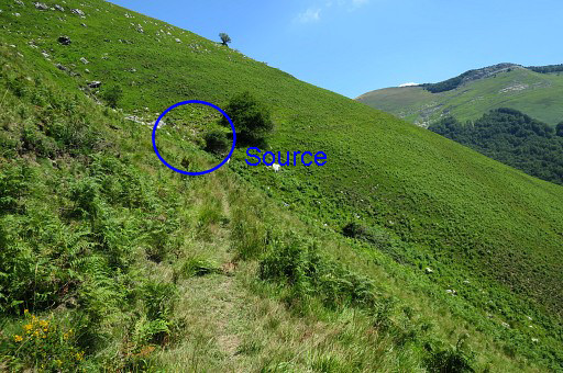 | In the beginning there is a stream/source. Take your chance here, the next one (on the GRPdesBF-route) is hours away. |
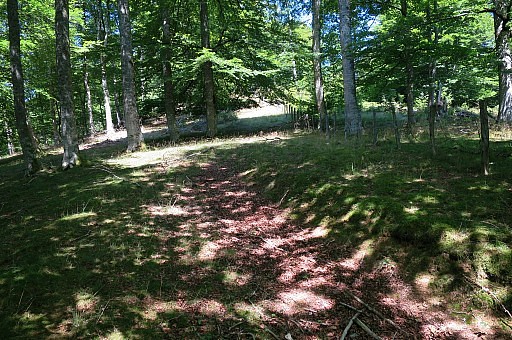
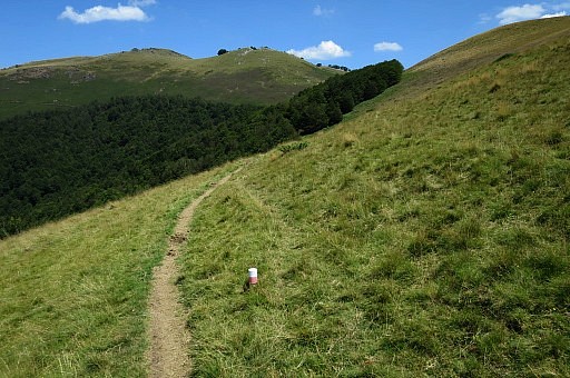
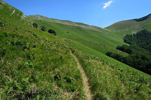 | Later on |
 | the trail winds back to climb to |
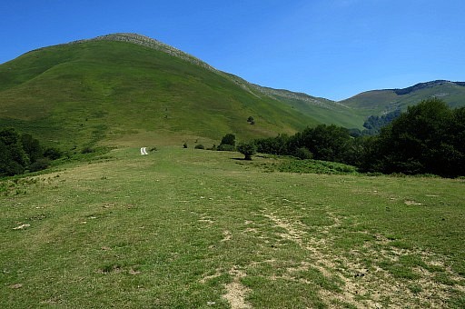
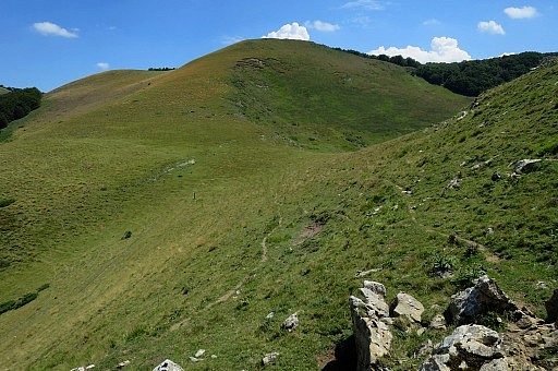
 | a pass on the hillridge. |
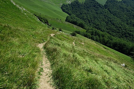
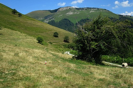
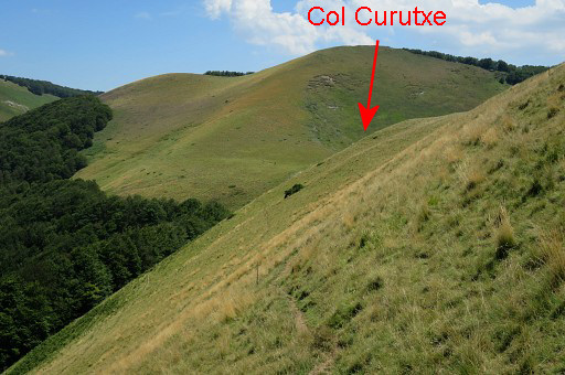 | From that pass you have to go underneath two hilltops and that's a more or less flat route to Col Curutxe with bm227. |
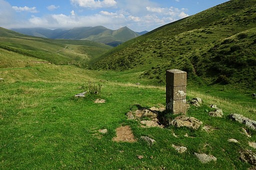
 | Col Curutxe |
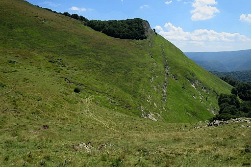 | Bm227 is not at the Col itself but stands lower at its souther slope |
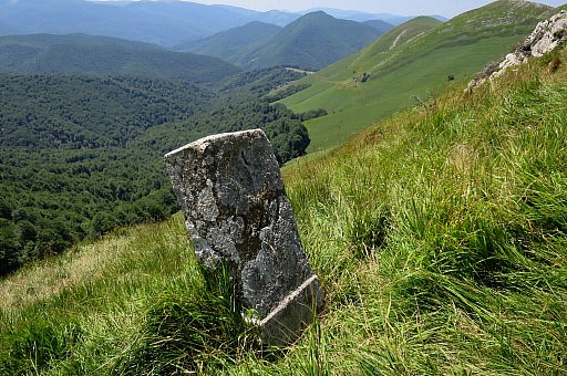
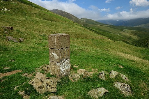
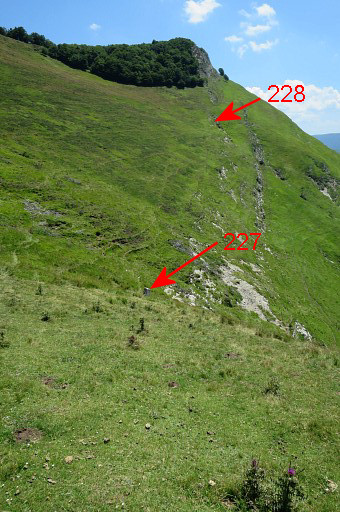 | Bm227 in sight |
 | Bm227 |
 | Bm227 |
 | Bm227 |
 | Bm227 |
 | Then I walk from Col Curutxe hence & forth |
 | to Col d'Oraate on the continuation of the red/white trail. |
 | I return along the hillside to the pass where I have to descend back to the farm. On my way to Col Curutxe - underneath the second hilltop - I had lost the red/white trail which was no problem because my cattle trail also brought me to Col Curutxe. On my way back I take the right trail. As said here, waymarking is extensive here, if you miss waymarks for a longer stretch: you're wrong. |
 | Back at the farm |
 | Beyond it, I search for the right course of the red/white trail. About 75 meters before the farm it seems to take the hillside left of the road and passes thus the farm a little above it, passing a hen house and then the waymarking becomes more extensive. |
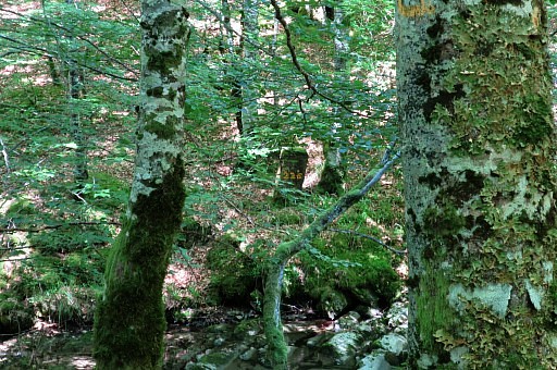
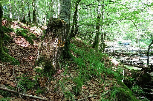
 | Red-white waymark on the tree |
 | I try the route above the farm hence & forth and while going back |
 | discover that the red-white trail keeps above the road. |
 | Note the red-white post in the grass |
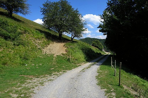
 | The trail is back at the road. At this bend you have go straight on. The red/white trail is essentially making 2 shortcuts of the winding dirtroad from farm to the main road in the valley |
 | The trail finally descends here to the main road. |
 | Now back at the bifurcation from above. For the main GRPdesBF-route you might as well take the road towards the farm and about 75 m before the farm climb the hillside left and then pass the farm above it. |
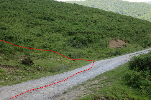 | Zoom-in to where the red-white trail leaves the road. |
 | Finally - with the car - I do bm223 and 222. From bm223 downstream to bm224, it could save you in theory much more distance if you would follow the stream downstream and pick up the road again later to reach bm224. But in 2009 that was not easy on the grassy steep banks. For the GRPdesBF I stick to the winding road. |
 | Bm223 |
 | Bm223 |
 | Bm223 |
 | Bm222 |
 | Bm222 |
 | Bm222 |
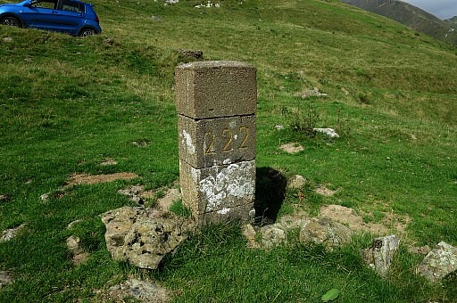 | Bm222 |
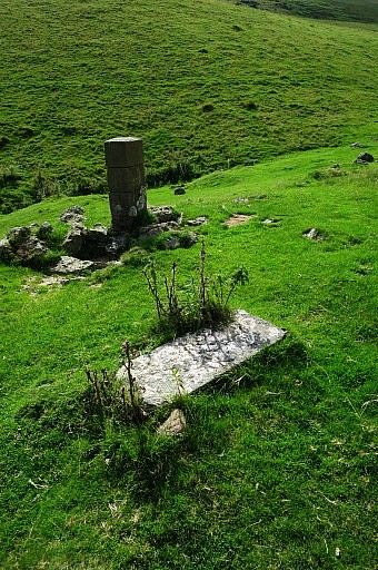 | Bm222 with the old bm lying n the grass. |
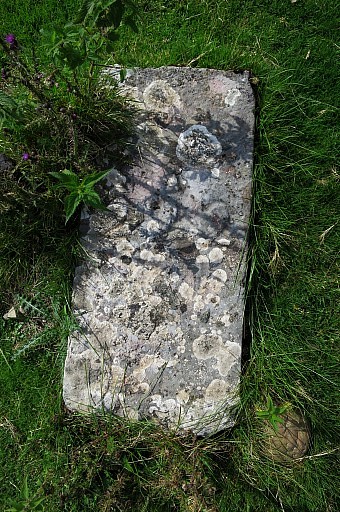 | Bm222, old marker, number still wel readable. From bm221 you might as well descend straight through the grass to 222, which saves you some meters. |
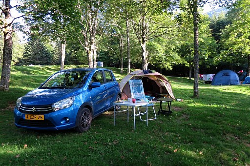 | I drive back to the free camping spot of yesterday but it's now occupied by a camper-van. On my way to the camping in Larrau I spot the Iraty-camping and that's where I stop and will stay for two nights. |