|
The
bordermarkers of the Pyrenees : all my trips
 |
|
| -
sunday 30 july
2017 - Pic d'Orhy revisited, last search for bm236 |
 |
 |
Summary: part of 13 day-trips in
the Pyrenees, covering various
targets from the Basque country up to Llivia. Today: Two trips from the Cayolar d'Ibarrondoa. A final search for bm236 and checking the variant from bm233 along bm234 and 234bis Weather: splendid |
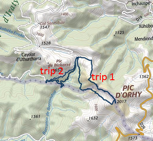
| Trip 1 | Bm235 and Pic d'Orhy |
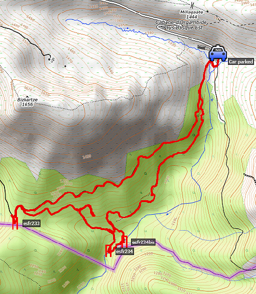
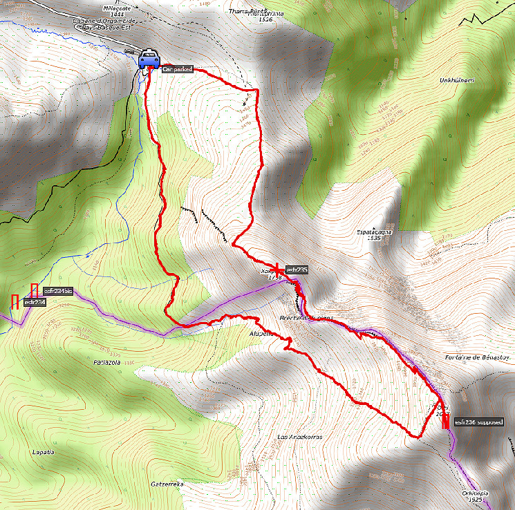 track-20170730-trip1.kml
(click to open this trip in Google Earth or copy link to Google Maps; click right on this link to download gpx-version). The gps-track has not been manually corrected which explains the inaccuracy and misalignment at some points. For cartographic backgrounds: see the cartography-page |
|
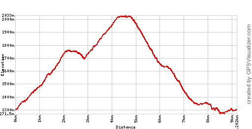 |
According to Google Earth:
8.3km, max-height 2002m, min-height 1287m, elevation: +903m -903m Start 9:08 Finish 13:04 |
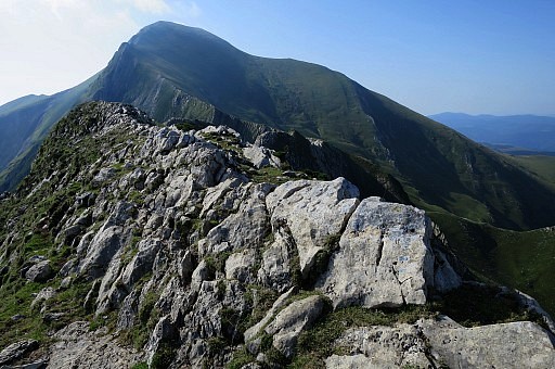
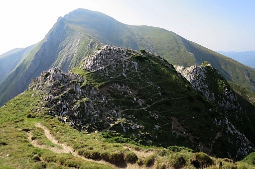
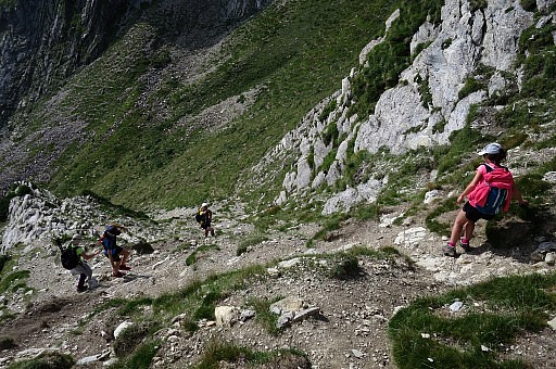
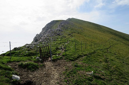
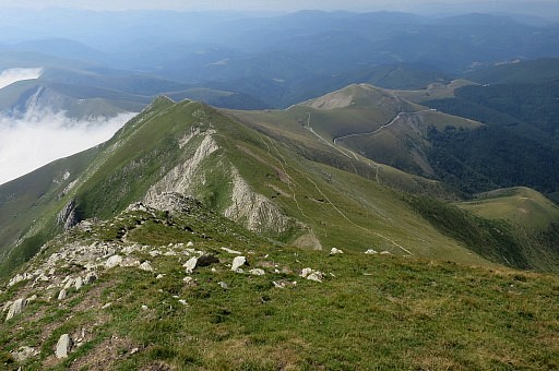
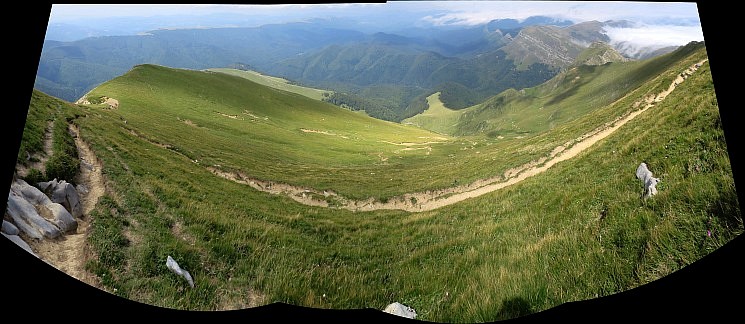
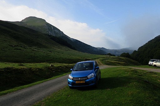 | To the left: the ridge to head for. |
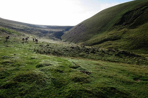 | First I climb to the ridge which leads to the Pic d'Orhy. In fact I do this for the third time. |
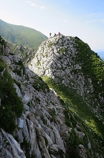
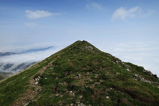
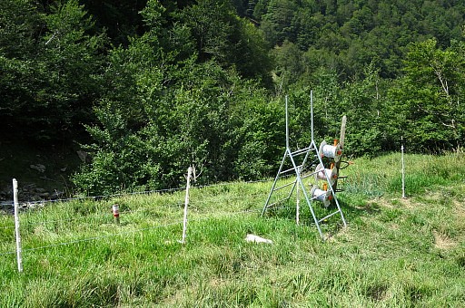
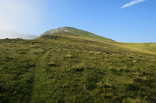 | At the ridge, climb along the wooden shacks, meant for shooting birds. Further on, the climb along the hill-ridge gets tougher. |
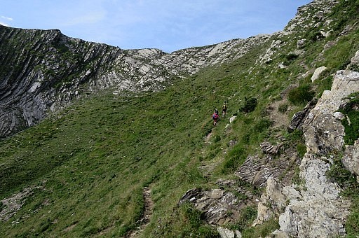
 | The ridge gets steeper and narrower but there a lot of sheep trails to help you. |
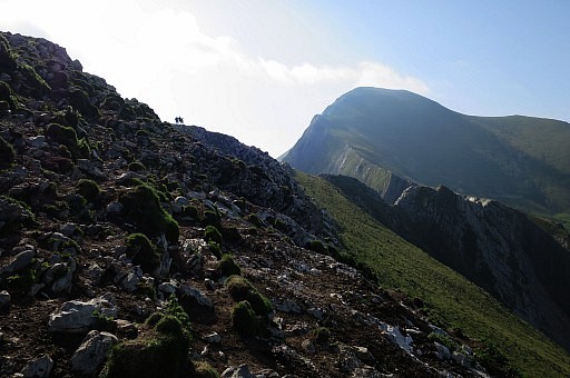
 | At the ridge with bm235 in sight |
 | Bm235 |
 | Bm235 |
 | Bm235 |
 | Bm235, looking back to the hilltop of Zazpigain. |
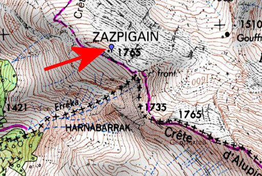 |
Bm235 is in fact on a wrong place (red arrow). It should have been where the IGN-maps shows it wrongly ("Cr' front.") . |
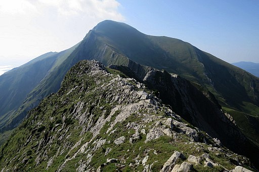
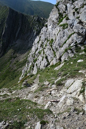
 | Beyond bm235 you have to decend to a sort of pass. But you need to traverse to a second pass beyond a rocky and steep hilltop, to steep to climb over. That traversing along the steep hillside (at the right side) scares me and I can't remember that from the two previous times. Be careful, especially in wet and windy weather. If you slip, there's only the abyss. |
 | The second pass comes in sight. That's where a |
 | a steep and slippery trail descends at the left side of the ridge. |
 | Be careful. |
 | Then easily climbing back to the ridge. |
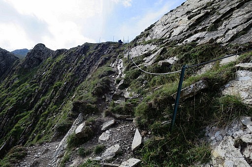 | A bit of help but I would have preferred it earlier. |
 | Looking back to the slippery trail downhill. |
 | From here it's just climbing on. |
 | Looking back |
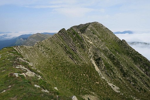
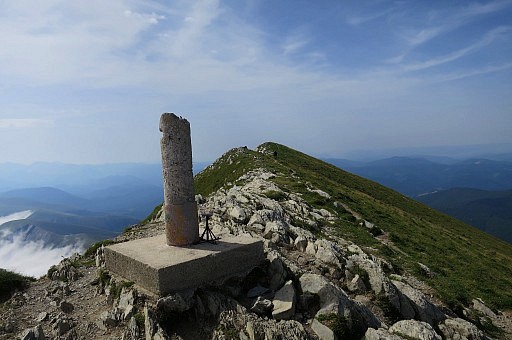 | Having arrived at the nothern end of the ridge of Pic d'Orhy. This top-ridge consists in fact of 3 sub-summits. This one (with the geodesic pillar) is the lowest. |
 | Looking back. |
 | I
do a check hence & forth the ridge but of course no bordercross. In
that sense it was destined to be useless. It has been searched numerous
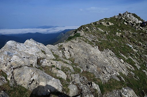
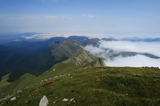
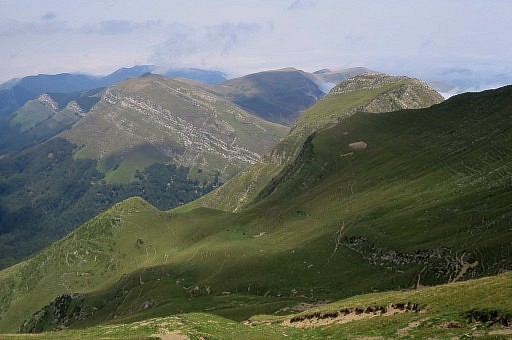
times by numerous bm-searchers. A view from the other side of the top ridge towards Port de Larrau. |
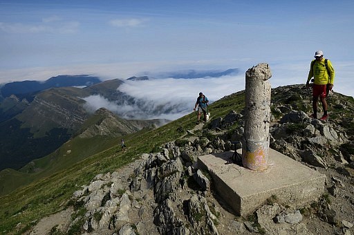
 | And looking back towards the geodesic pillar at the end of the ridge. The IGN-maps still locate the lost bordercross 236 in the middle of the ridge. |
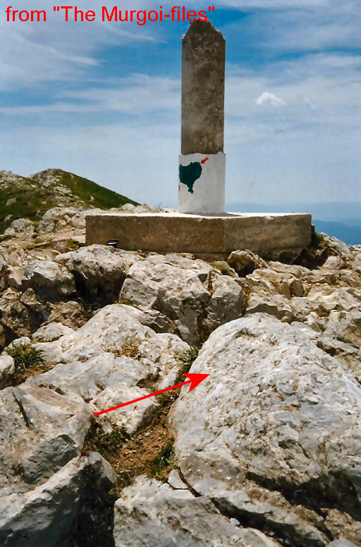 |
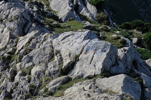
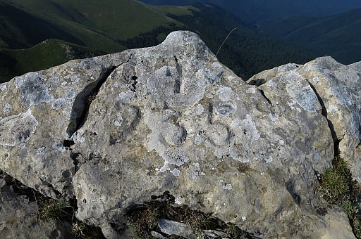
There is still a clue to check. Murgoi shows a picture of rectangular engraving on a rock close to the geodetical marker. |
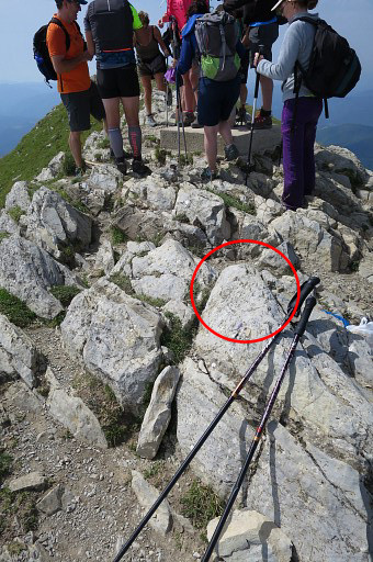 | I find it |
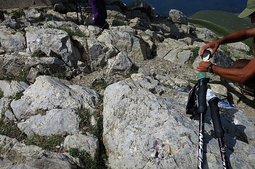 | but it is too small to be of any meaning related to
bordermarkers. |
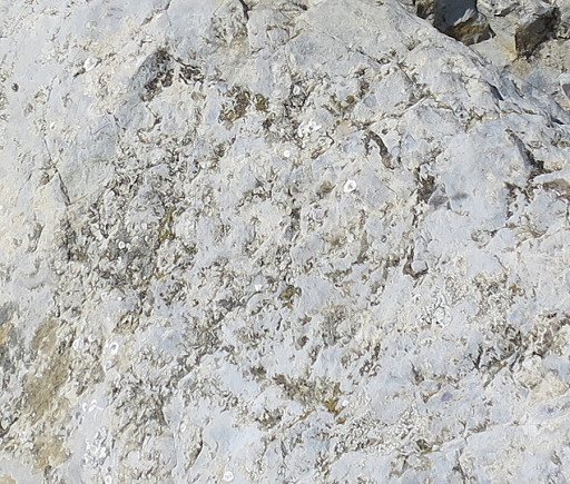 |
And the question is if it is indeed engraved or a natural feature. |
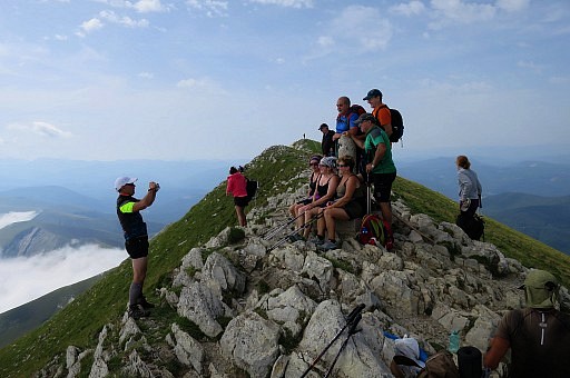 | Pic d'Orhy is a popular daytrip destination. |
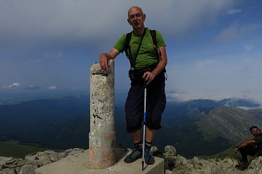 | Your sturdy bm-explorer. |
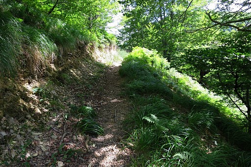
 I descend back to the car on a more easy route | |
 | which is in this direction. |
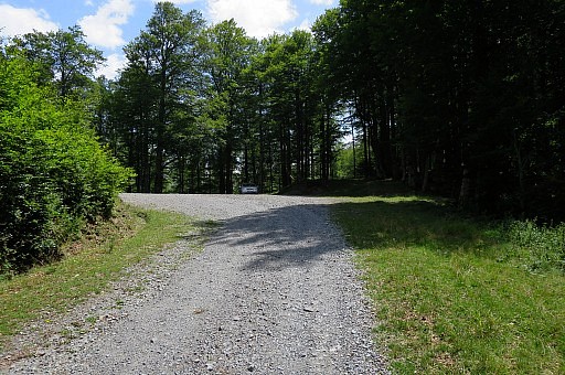
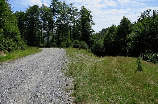
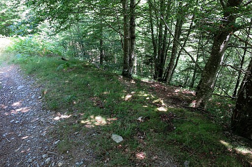
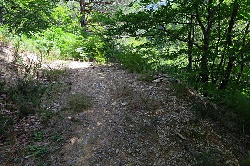
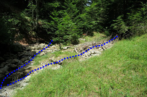
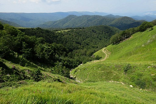 | Almost at the bottom of the valley where a dirtroad finishes at the borderline. The borderline is the streambed coming from the hillridge and descending into the forest to bm234bis. |
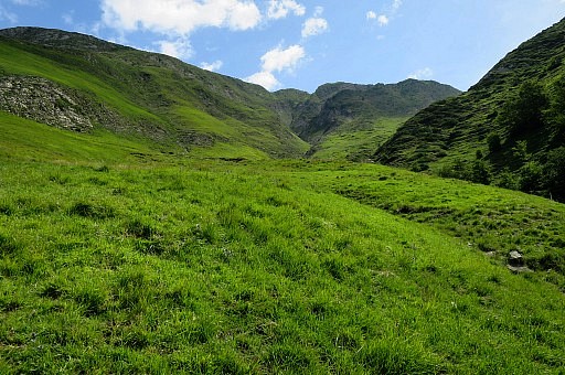 | Looking up the other side with the steep ravin climbing to the ridge. That is the course of the borderline. |
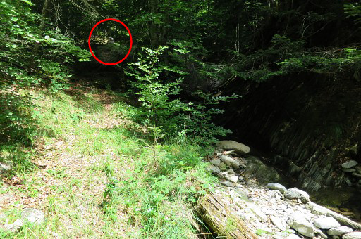
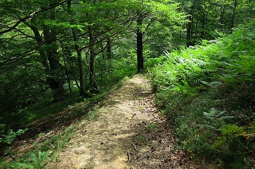
 | I discover that there is (new) trail (red-white waymarks) which goes underneath the Pic d'Orhy. |
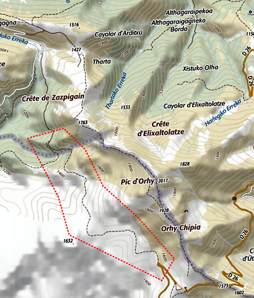 |
That is the trail in the red area. It could be a bad weather alternative, in that case skipping bm235 and Pic d'Orhy. Lunch at the car. |
| Trip 2 |
bm233 - 234bis |
 |
Trip 2 track-20170730-trip2.kml (click to open this trip in Google Earth or copy link to Google Maps; click right on this link to download gpx-version). According to Google Earth: 6,8km, max-height 1317m, min-height 1138m, elevation: +489m -490m Start 13:48 Finish 16:40 |
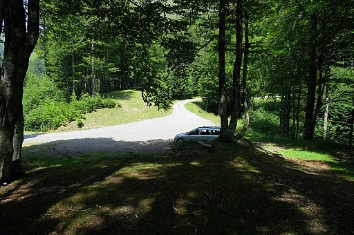
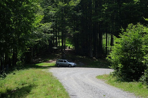 | An easy walk to bm233, already visible on this picture.
Note the bend in the road. NB: bivouac spots along the dirtroad with a source at the roadside not far away from the farm-buildings. |
 | That bend seen from the other side, that is how you will approach the bend with bm233 to the right. |
 | Bm233 |
 | Bm233 |
 | Bm233, looking to the road. |
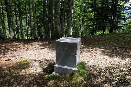 | Bm233 |
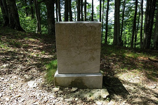 | Bm233 |
 | Bm233 |
 | I walk back to the road and go back. |
 | After 125 meter - after the first bend - leave the road and take the forestroad right, |
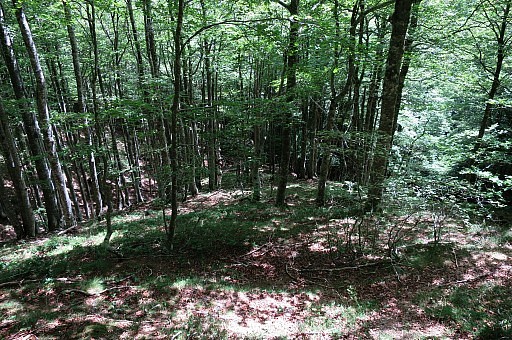
 | going down in the forest. |
 | Further on (± 500m) this bifurcation |
 | with a MTB-signpost. About here I return to find a better and directer way to descend through the forest to bm 234. Later on I will discover that the mtb-trail is perfect for getting to bm234. |
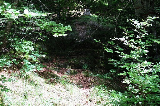
 | I return for a while and then descend here, I just go down in the forest, |
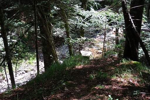
 | descending to |
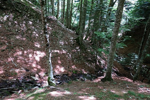 | this tiny stream which merges (at the right of the picture) with another stream(bed). That other stream is de borderline from bm233 to 234. |
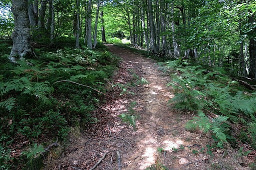
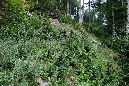
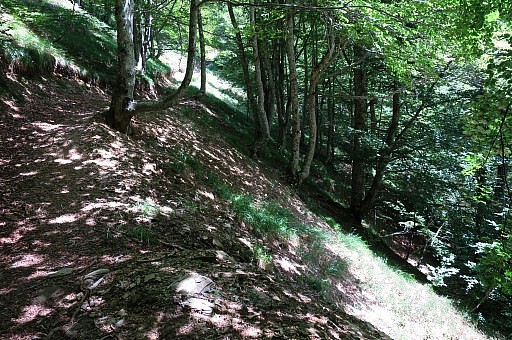 | I cross the stream and traverse above the borderstream to bm234. But I am surprised to come across this trail, gently climbing. |
 | I follow it to see where it goes. Later I will find that this is the continuation of the mtb-trail from above. |
 | At this point, the trail makes a bend to the left. I see on the map (on my smartphone) that I have to go right here, leaving the trail, to descend to bm234 |
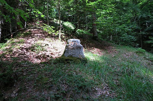
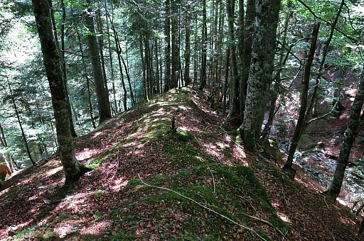 | which is an easy descent on this ridge towards |
 | bm234 already visible on this picture. Bm234 is at the end of the ridge but still ± 5m above the junction of the borderstream with another stream (Ibarrondoko Erreka) |
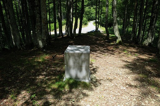
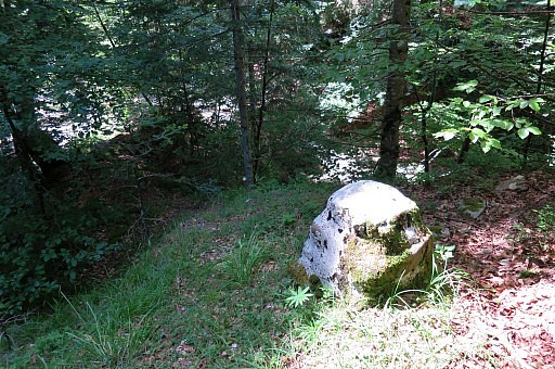
 | Bm234 |
 | Bm234, no engraving left if ever applied |
 | Bm234 |
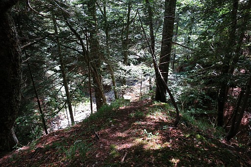
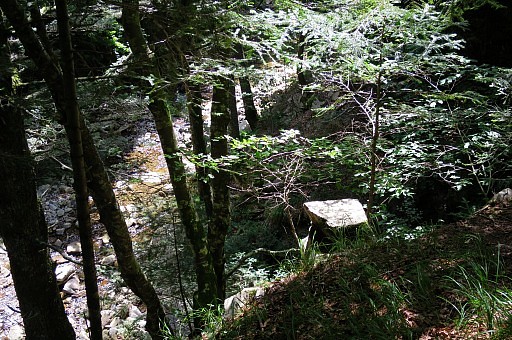 | Bm234 You can see down below the stream of Ibarrondoko Erreka |
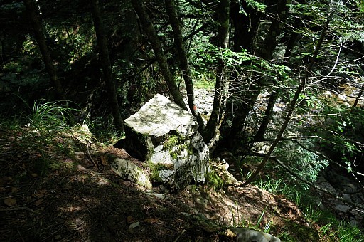
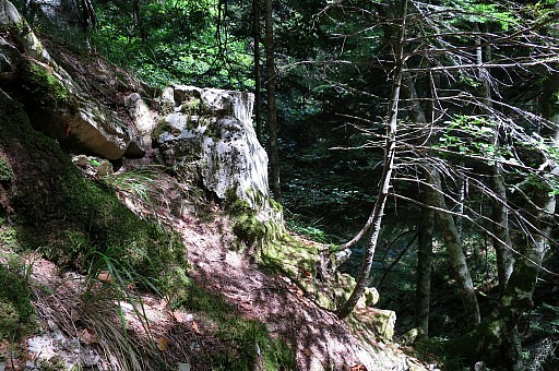
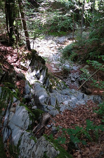 | The last part of the borderstream, is steep / cascade-like. It is dry now. You have to descend to the stream of Ibarrondoko Erreka to proceed to bm324bis. If this seems too steep for you (but it is well manageable), it is also possible to descend using trees on a trail-like descent. |
 This picture shows that
| |
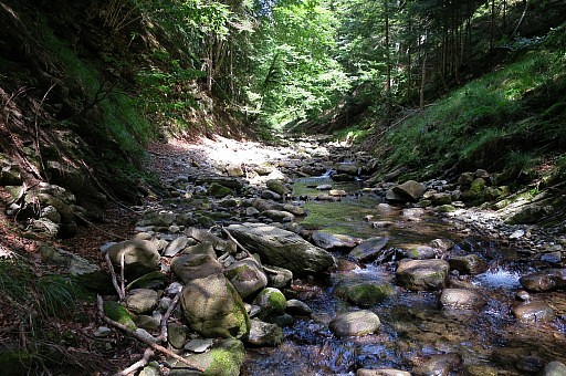 | At the stream, go left (NE), |
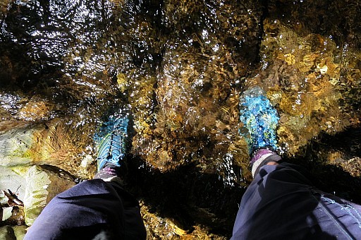 | shifting from one side to another when needed. With my trailrunning-shoes, I just step through the water when I have to cross the stream. |
 | After ± 125m, there's a junction with a (now dry) stream from the right. |
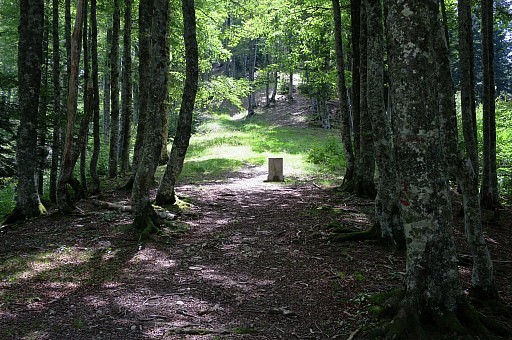
 | Bm234bis is a bit higher in the NE-corner of this junction |
 | Getting closer |
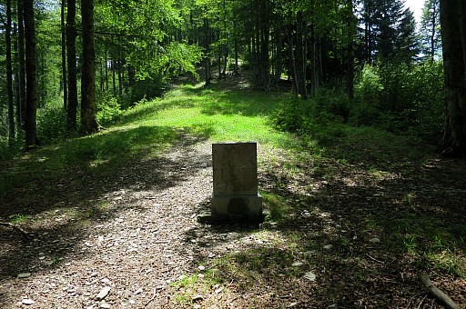
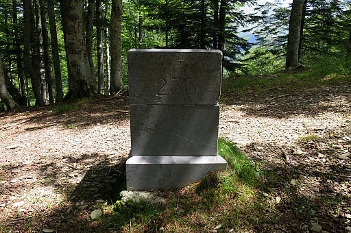
 | Bm234bis, looking the same as bm234 |
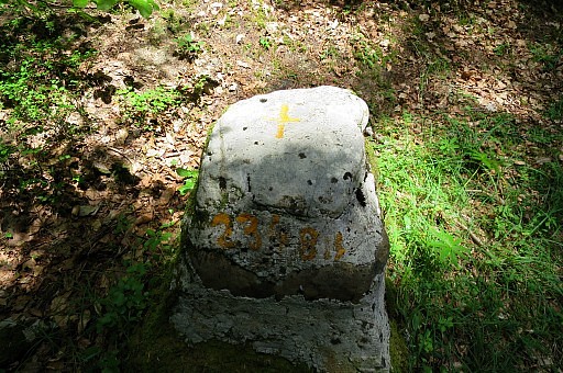 | Now we see a painting: 234 BIS |
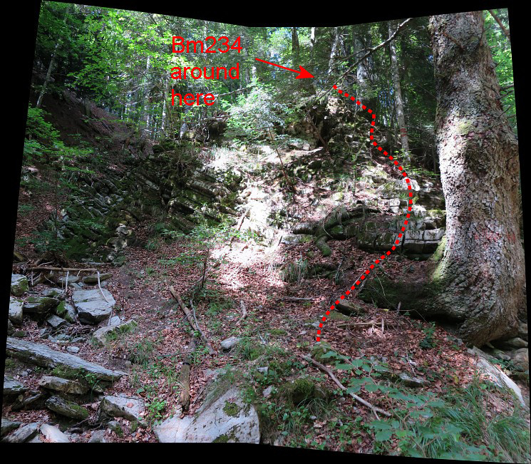
 | Bm234bis, looking down at the stream. I return to the main stream. About 10-20m further upstream the hillside left is not too steep anymore and I climb uphill NW and arrive to my surprise at |
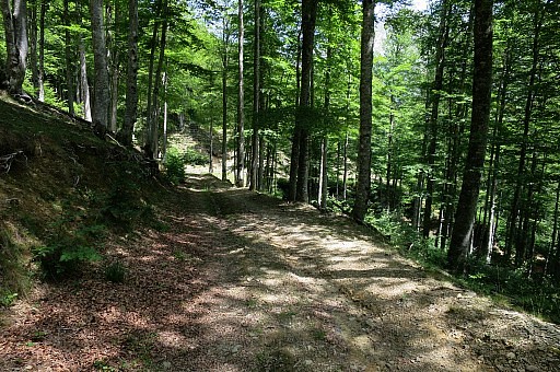
 | a well and used path |
 | I follow it uphill to see where it goes and discover that it a mtb-route. This picture: looking back downhill. |
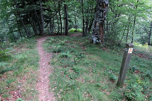
 | I walk it back and - to my surprise - it turns out to be the same trail as I encountered earlier. So this is a much more better access to bm234. At the black tree at the end (the MTB-route takes a turn to the right there) you should leave the trail and head straight to bm234 |
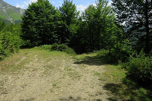
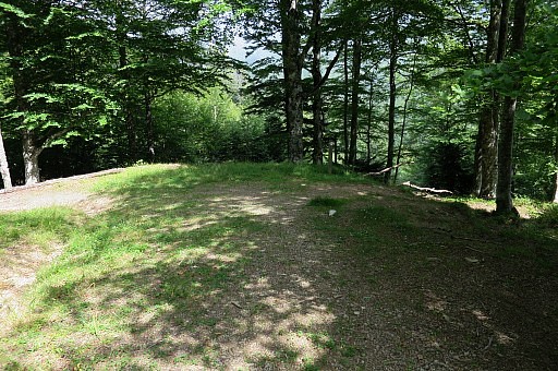 | At the other end of the mtb-trail, it arrives at this forest-road. |
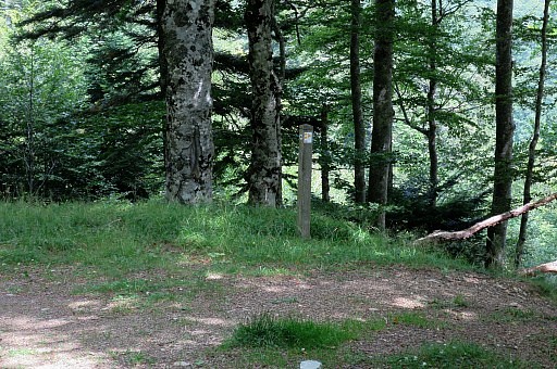 | with this signpost where the mtb-trail leaves the forest-road to go downhill. |
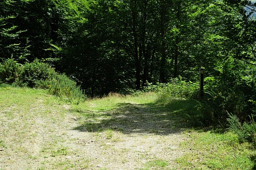
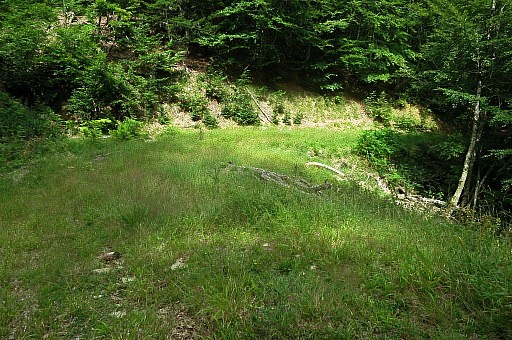 | I now continue on the forest road, which is getting grassy |
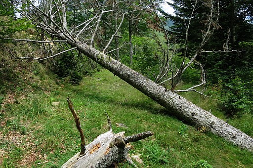 | and blocked further on. |
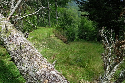 | Just beyond this fallen tree a bifurcation,take the left one |
 | to bend in a half circle to a higher level |
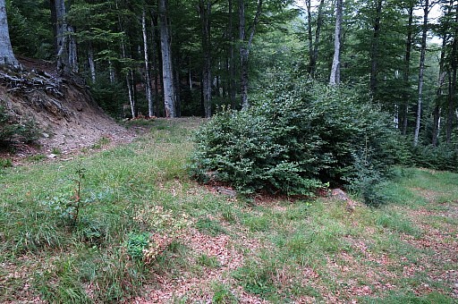
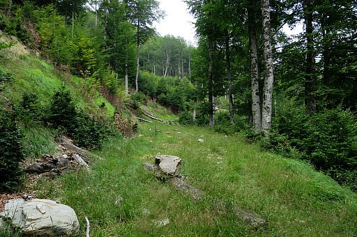 | Continuing, the trail gets narrower |
 | and is overgrown in places |
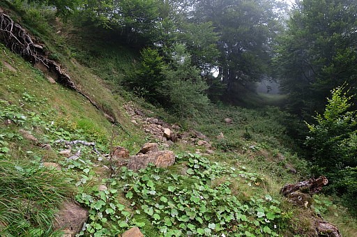 | because of landslides.. This picture: the last part before the junction with the road. Back to the car. |
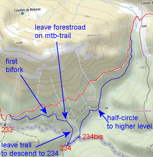 |
This reconnaissance results in another route of the GRPdesBF variant via bm234 and 234bis. From bm233 go 125m along the road, descend to the right on a forestroad. At the bifork after ± 500m take the right fork where the mtb-trail goes. Then - after ± 200m - the mtb-trail turns right and leaves the forestroad. Follow the trail downhill until it - after ± 125 meters - bends to the right. From that bend descend on a hillside/ridge in SSW direction to bm234. Descend from bm234 to the river below and follow it 125m upstream. At the NE-corner of the junction with a stream(bed) from the right is bm234bis. Continue 10-20m upstream along the river and then climb NNE to the forestroad and follow it NE |
| Further on there is a bifork: take the left one which makes a half-circle to the left and arrives at a higher forestroad. Proceed N over the grassy forestroad which gets narrower. There are a few landslides. Finally it arrives at the 'main' dirtroad, close to Cayolar d'Ibarrondoa. | |
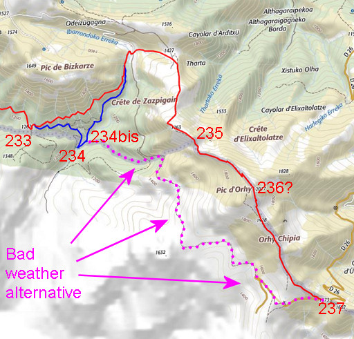 |
In bad weather you might skip the climb to Pic d'Orhy. There is a red-white trail going underneath at the W-side. In that case, you might already start that bad-weather alternative from bm234bis. Walk along the streambed (= is the borderline) uphill to the E. No trails but it's not difficult. When you arrive at the end of a dirtroad coming from the N, pick up the red-white trail which brings you to Port de Larrau (bm237). The day ends cloudy/foggy and it's a slow drive back over the mountain-road back to the Iraty-camping. In the evening rainy. |