|
The
bordermarkers of the Pyrenees : all my trips
|
|
| -
tuesday 1 august
2017 - Trailrunning to bm313  previous
trip
next
trip previous
trip
next
trip  |
 |
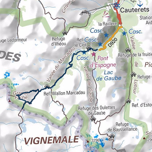 |
Summary: part of 13 day-trips in
the Pyrenees, covering various
targets from the Basque country up to Llivia. Today: from Pont d'Espagne a daytrip to Port de Macadau (bm313) via the ascent to Col de Fache. Weather: sunny |
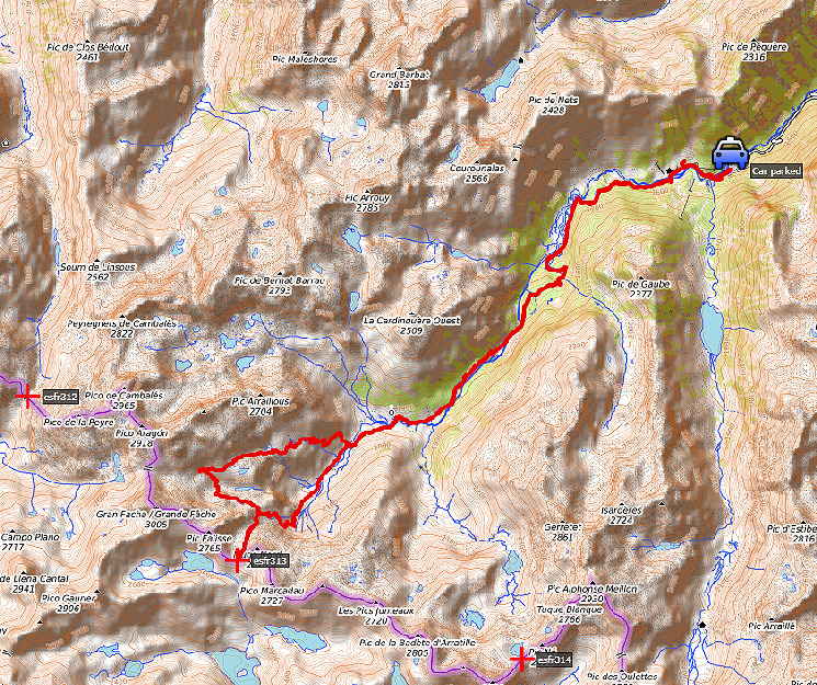 track-20170801.kml
(click to open this trip in Google Earth or copy link to Google Maps; click right on this link to download gpx-version). The gps-track has not been manually corrected which explains the inaccuracy and misalignment at some points. For cartographic backgrounds: see the cartography-page |
|
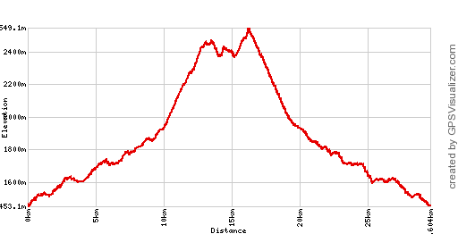 |
According to Google Earth:
27,0km, max-height 2542m, min-height 1465m, elevation: +1666m -1665m Start 8:44 Finish 16:17 |
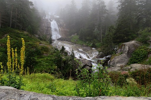 | Having parked my car at the large parking lot near Pont d'Espagne. From the Pont, this view of its famous waterfall. |
 | The
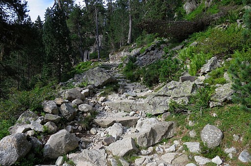
walk to Refuge Wallon takes 2,5h according to the signs. I have already decided to trail-run to Refuge Wallon and back to save time and as a last training for the Llivia-circuit which I intend to do in a few days. But trailrunning is tough uphill and not easy on trails like this. |
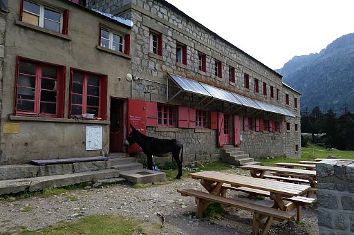 | Refuge Wallon. In the vicinity enough spots to bivouac. |
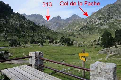 | From the terrace of the refuge this view ahead to the mountain ridge to climb to. From Refuge Wallon, I climb towards Col de la Fache until the point where the connection starts to the trail up to Port de Macadau (bm313) |
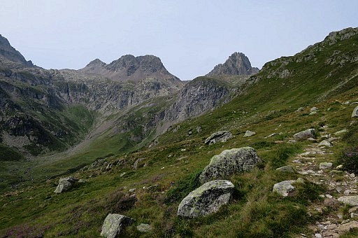 | Getting higher |
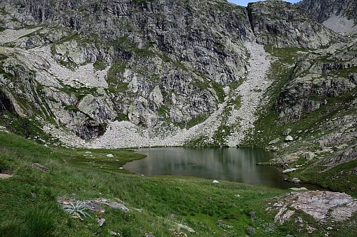 | and passing this unnamed lake at ± 2300m altitude. A bivouac should be possible here. |
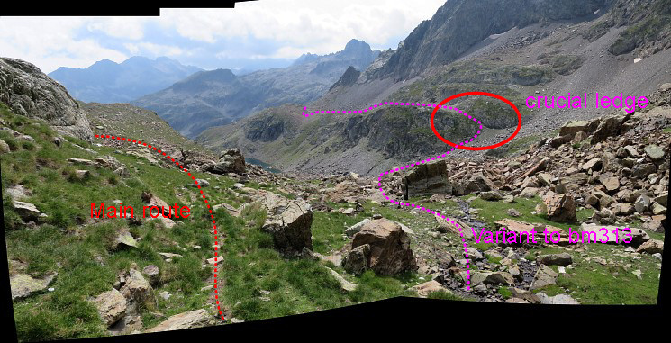 This is the point where - when coming from Col de la Fache - the GRPdesBF-trail splits.
The main route descends along the trail to Refuge de Wallon. But the variant to bm313 descends along a stream, crosses a rockfall, climbs along a ledge and then traverses to the trail which climbs from Refuge Wallon to Port de Macadau (bm313) | |
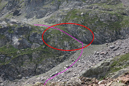 | You have to aim for this passage/ledge which is crucial. |
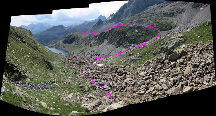 This picture: on my way downhill. Descend along the little stream until you are under the level of the ledge. | |
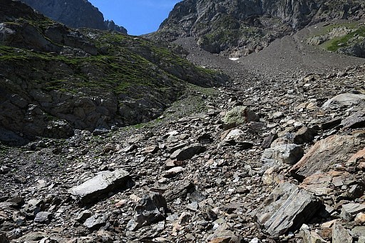 | Then the crossing of the rockfall is most easy. |
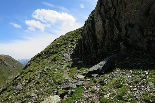 | This is the ledge to get on a sort of broad ridge. Note: there is a trail. It seems that the trail originates from the rockfall beneath Col de Fache but I can't spot any waymarks in that direction. And if they exist: my route is easier I think. |
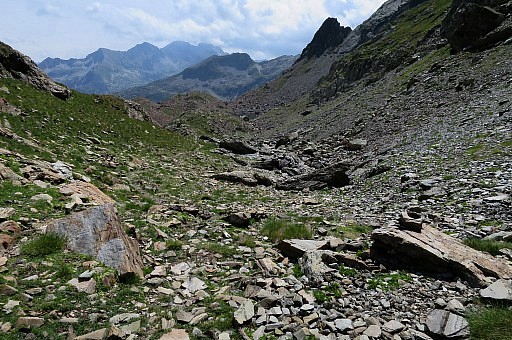 | On
the ridge itself the trail continues with many cairns. |
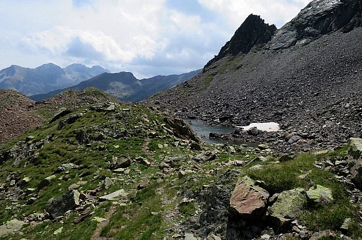 | A tiny lake might provide water. |
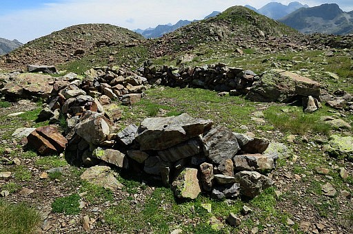 | And there is even a spot for a bivouac. |
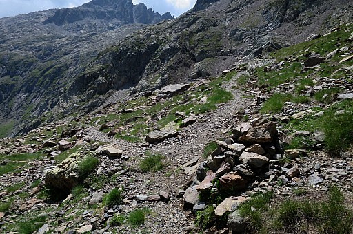 | This is the junction with the trail up to Port de Macadau. It takes me more time than in 2009: 45 minutes in stead of 30 minutes. From the junction with the path to Port de Macadau it's 20 minutes to the pass itself. Estimated time from Col de la Fache to Port de Macadau is 1,5h. |
 | Getting close to Port de Macadau. |
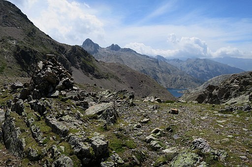 | At the Port: very windy but sunny. |
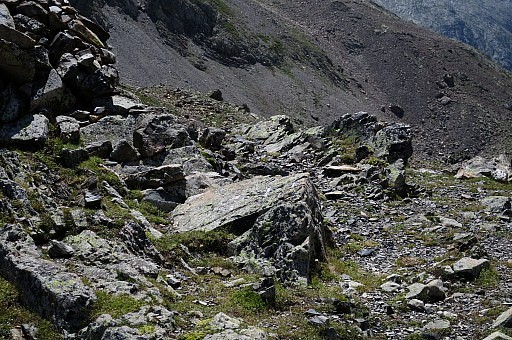 | This is the rock with bm313 |
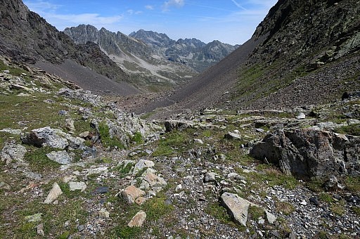 | The back of the rock, looking into France |
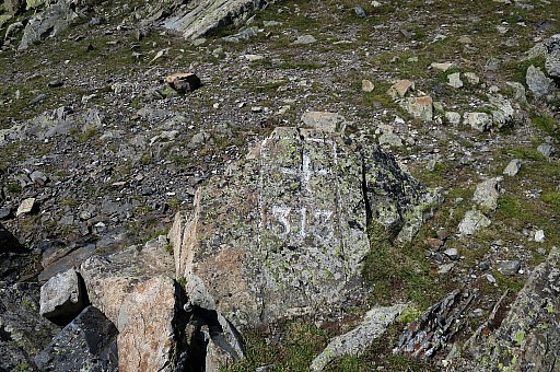 | Bm313 |
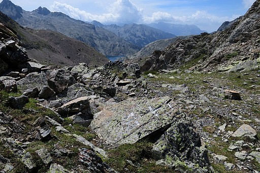 | Bm313 |
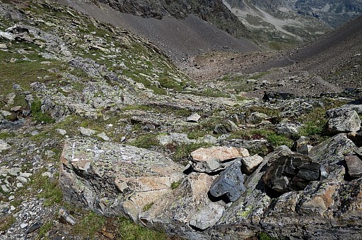 | Bm313 |
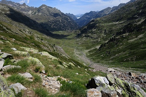 | Long
descent back to Refuge Wallon. When it gets flatter, I start trailrunning which is for a lot of parts not possible because of the uneven rocky paths. |
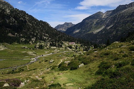 | Almost in the valley with Refuge Wallon. |
 | Back at Pont d'Espagne. It's been a long trip: about 30km from which 18km was done running. |
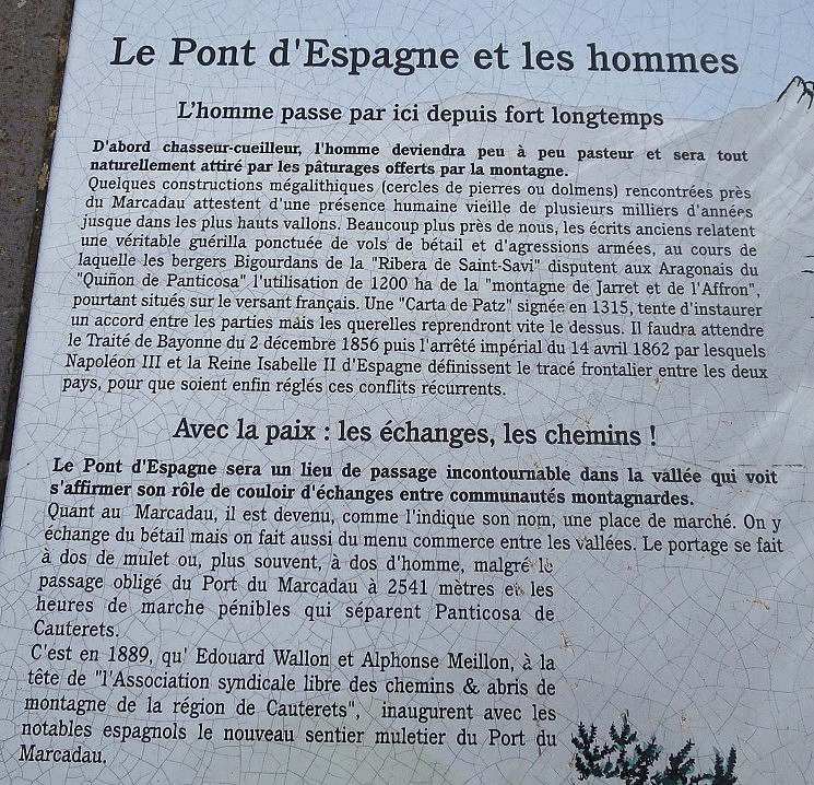 We read that Port de Macadau was an important pass for transportation of cattle and goods.
| |
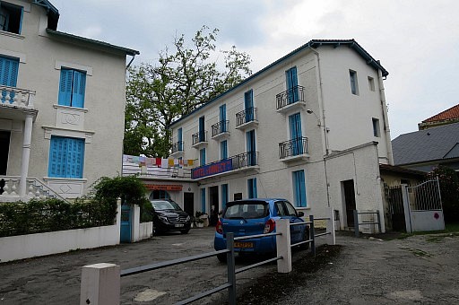 | My hotel in Lourdes: hotel d'Annecy |
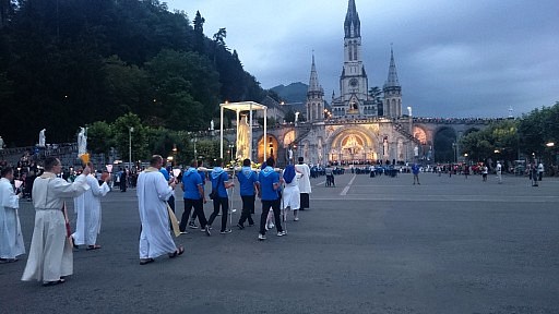 | In the evening I go downtown to see the candle procession and to have dinner. |
 previous
trip
next
trip previous
trip
next
trip  |
|
