|
The
bordermarkers of the Pyrenees : all my trips
 |
|
| - wednesday 30 may
2018 - Bm383-385 revisited |
 |
 |
Summary:
part of 6 day-trips in
the Pyrenees, near Bagnères-de-Luchon and in the Basque country, together with Jan-Willem Doomen Today: a trip redoing bm383-385, part of the project to visit every bordermarker at least twice. Basecamp: camping Las Espalias in Bossost. Weather: sunny but cloudy/chilly at the ridge |
 track-20180530.kml
(click to open this trip in Google Earth or copy link to Google Maps; click right on this link to download gpx-version). The gps-track has not been manually corrected which explains the inaccuracy and misalignment at some points. For cartographic backgrounds: see the cartography-page Gps-waypoints of all bordermarkers (most recent version): kml: esfr-bordermarkers-all-waypoints.kml gpx: esfr-bordermarkers-all-waypoints.gpx |
|
 |
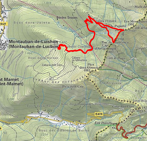
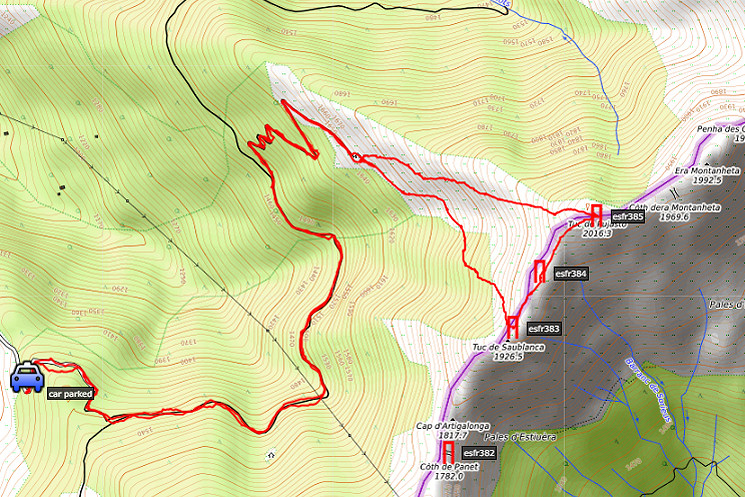
According to Google Earth: 11km, max-height 2012m, min-height 1425m, elevation: +961m -961m Start 10:42 Finish 15:42 |
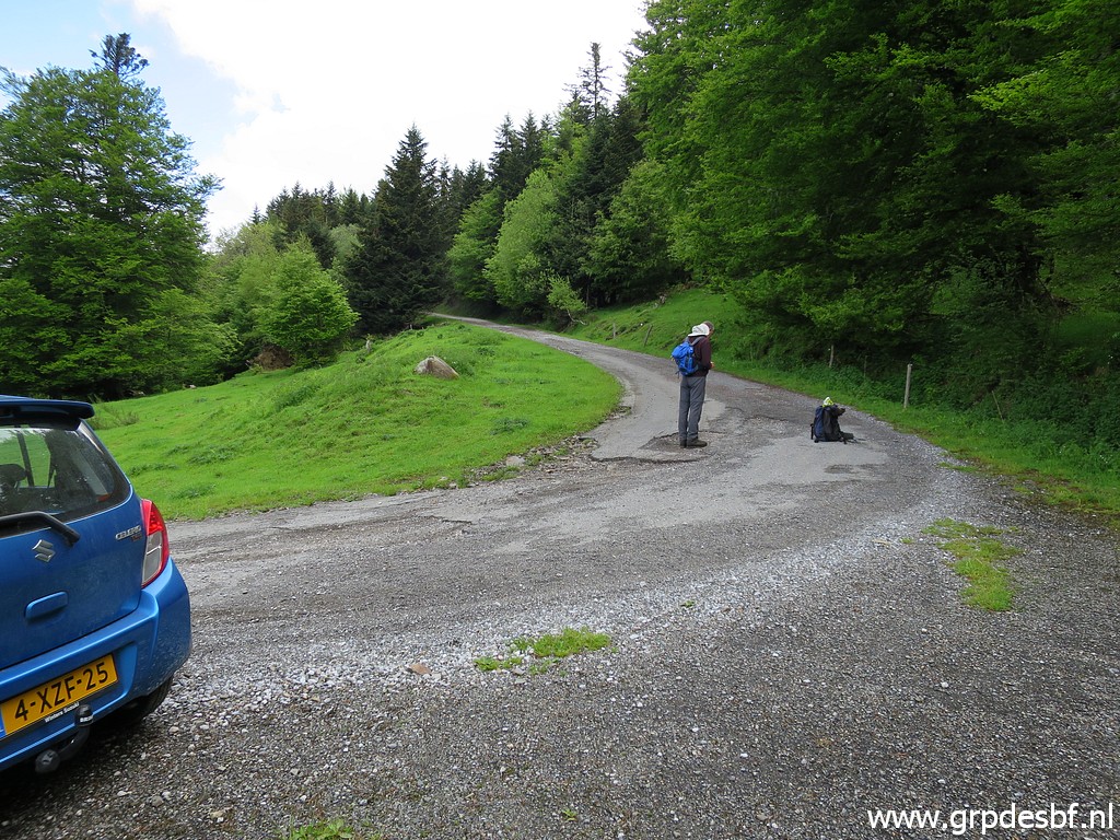 | First some shopping in Bagnères-de-Luchon for a new gas stove. We are able to drive - from Bagnères-de-Luchon - up the mountainside fairly high until this point. Further on the road seems to get too worse (but is not, you can drive further quite easily. click photo to enlarge |
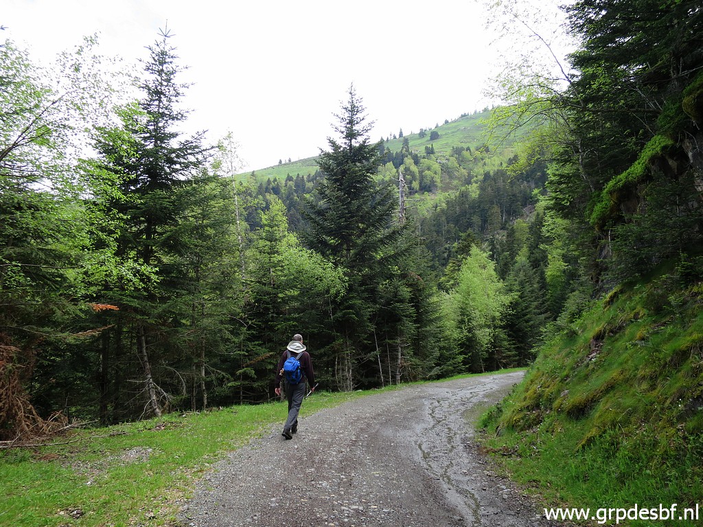 | It's still a long walk along this easy dirtroad before we take a winding sideroad climbing to a cabin (Cabane d'Estiouère). click photo to enlarge |
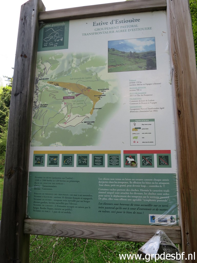 | Interesting
information board: it tells us that there is a international group of
10 shepherds that share a terrain which crosses the border at Col de
Panech (bm382). The terrain consist of 150 ha in France and 300 ha in Spain. Some basic information at this webpage. click photo to enlarge |
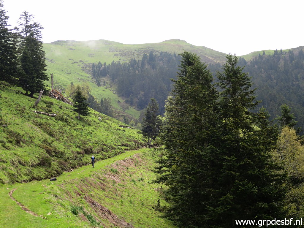 | The winding dirtroad ends at a shepherd's cabin, a trail continues beyond the cabin to a forest. click photo to enlarge |
 | In
between cabin and forest. We have to get to the ridge (= the
border)line which we'll manage to do by climbing through the forest
uphill. click photo to enlarge |
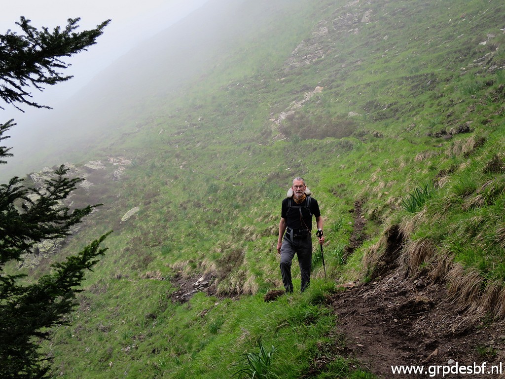 | It's tough climbing. click photo to enlarge |
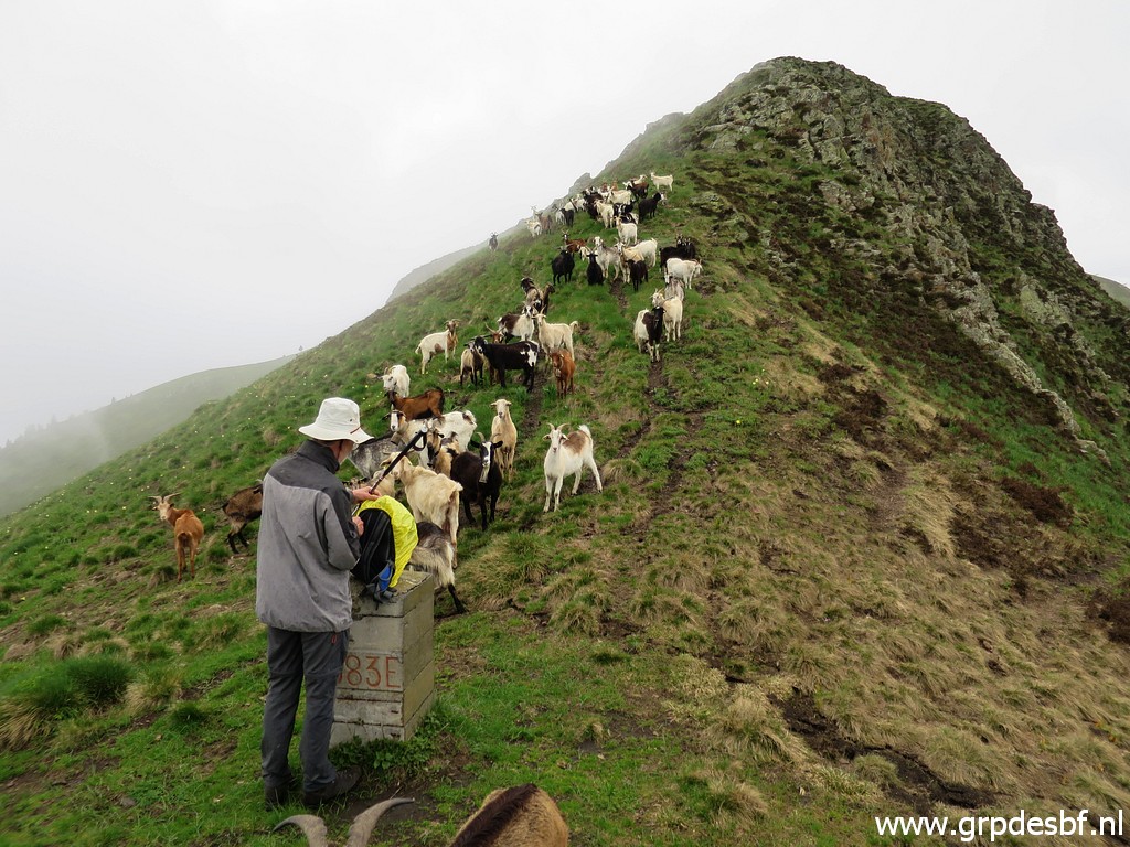 | Finally at the ridge, a friendly welcome by a flock of goats. click photo to enlarge |
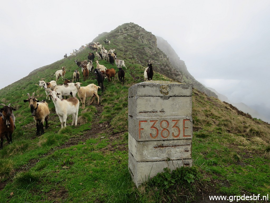 | Bm383 click photo to enlarge |
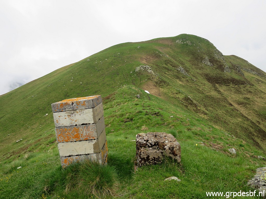 | We continue N to bm384. Besides bm384 the base of a former bordermarler. The current bordermarkers on this ridge date from the 1950-ies. The old (masonry) markers had disappeared and the French and Spanish government decided to replace them. But at some places we still see remnants of the original ones. click photo to enlarge |
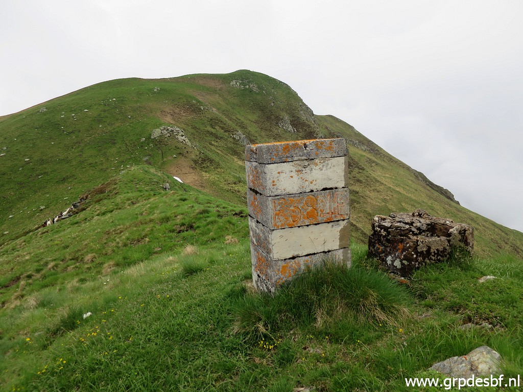 | Bm384 click photo to enlarge |
 | Bm384, backside click photo to enlarge |
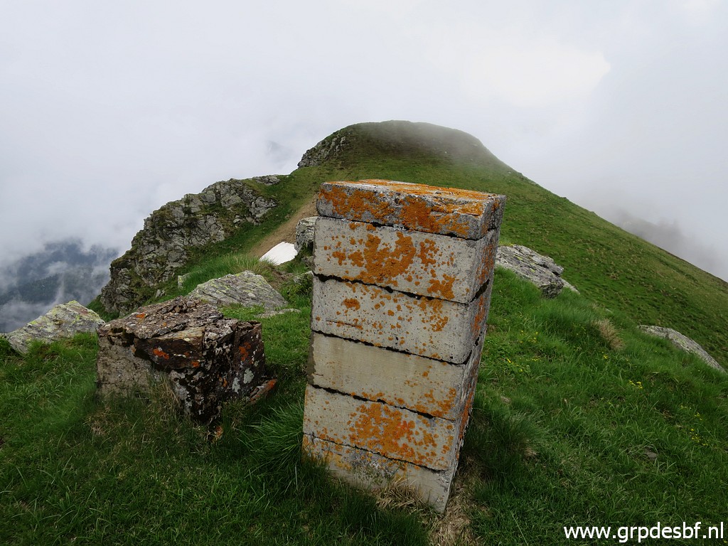
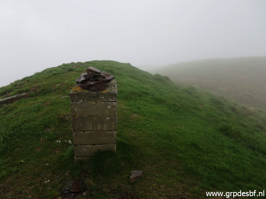 | It gets foggy. Bm385, backside click photo to enlarge |
 | A bit further is a geodetical marker. click photo to enlarge |
 | Bm385 click photo to enlarge |
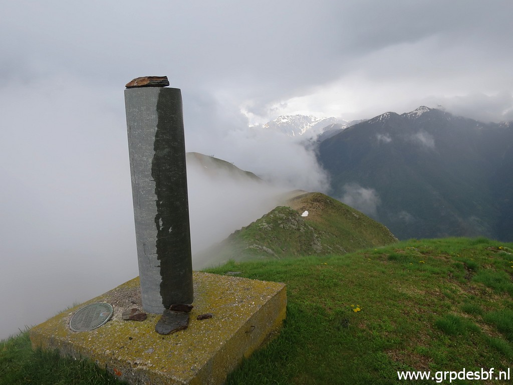 | The geodetical marker click photo to enlarge |
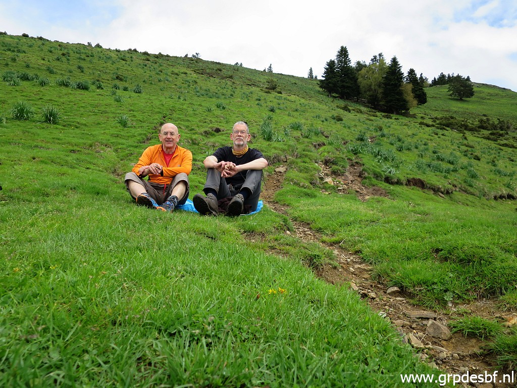 | We descend directly to the cabin where we take a rest. click photo to enlarge |
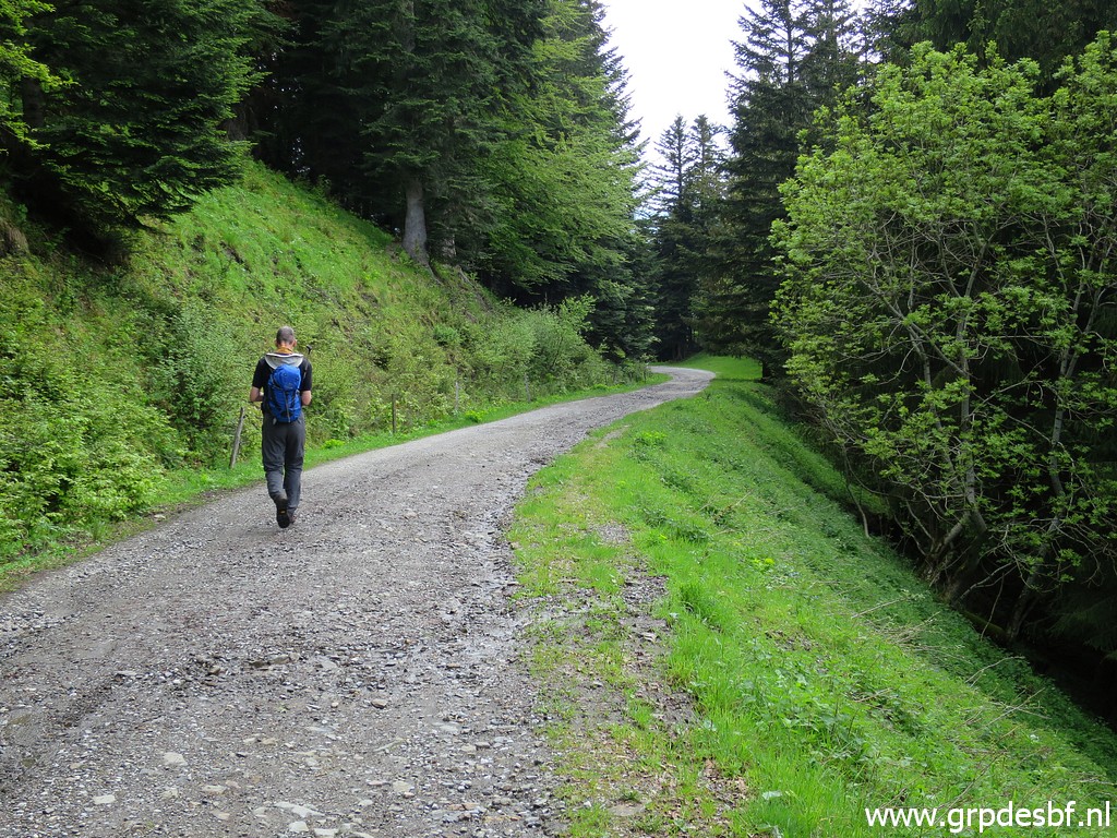 | And quietly we walk back click photo to enlarge |
 | to the car. click photo to enlarge |