|
The
bordermarkers of the Pyrenees : all my trips
 |
|
| -
thursday 23 august
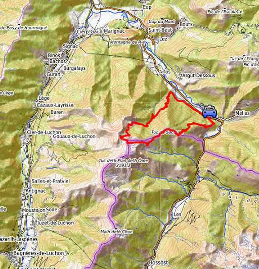
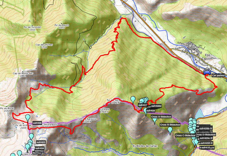
2018 - Hard trip: redoing bm408-IV to 406 |
 |
 |
Summary:
one of 8 solo daytrips in
the Pyrenees, in the area of Haute-Garonne near Bagnères-de-Luchon, in
order to redo the bordermarker-range no. 331 to 417. Today: climbing to cabane des Réchets, then via bm408 IV-I to bm408 and then along the borderridge from bm407 to 406, descending back on the GR10-trail. Much longer trip than expected. Weather: in general fine |
 track-20180823.kml
(click to open this trip in Google Earth or copy link to Google Maps; click right on this link to download gpx-version). The gps-track has not been manually corrected which explains the inaccuracy and misalignment at some points. For cartographic backgrounds: see the cartography-page Gps-waypoints of all bordermarkers (most recent version): kml: esfr-bordermarkers-all-waypoints.kml gpx: esfr-bordermarkers-all-waypoints.gpx |
|
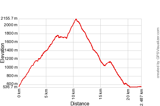 |
According to Garmin
Basecamp: Distance: 22,5 km Max-height: 2156m Min-height: 537m Elevation: +2597m -2597m Total elevation: 5194m Start 8:32 Finish 20:39 Total time: 12:07 |
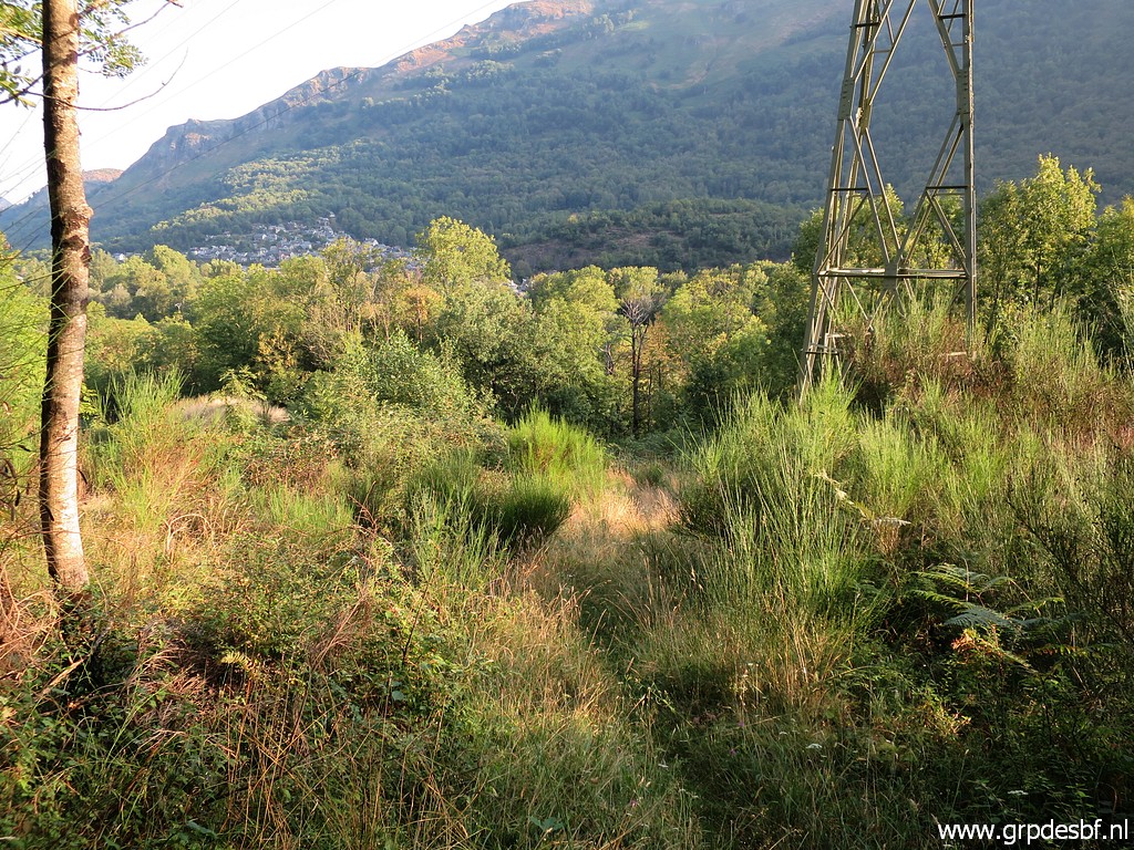 | Another climb up to Cabane des Réchets - done many times before - taking ± 1,5 hours. This picture: in the beginning, passing under the high-voltage line. click photo to enlarge |
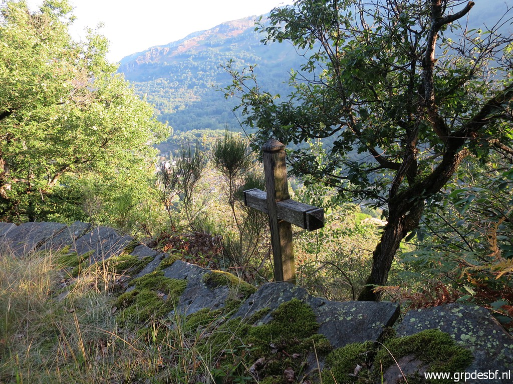 | Last
year I heard from Michel Molia the story behind this cross. A couple passed on this point, finding a coat or so from someone. While trying to hang it more visible on a tree branch, one of them leaned too far and fell to his or her death. click photo to enlarge |
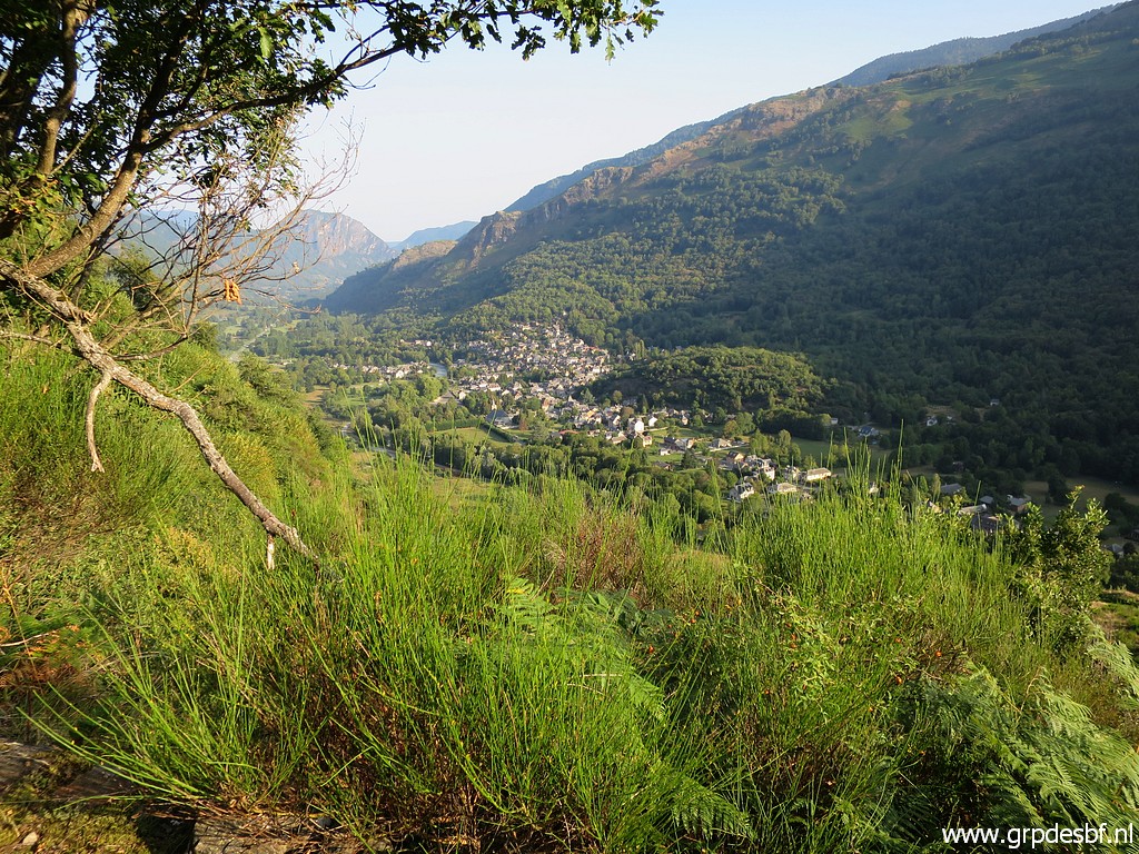 | Looking back to Fos. click photo to enlarge |
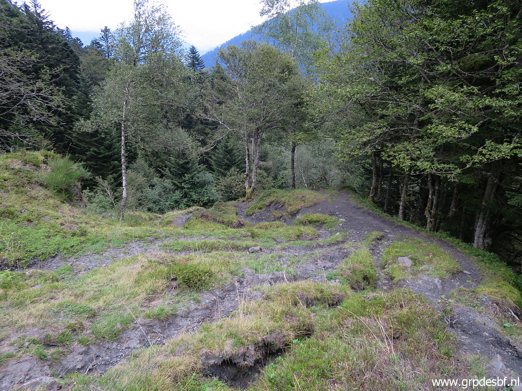
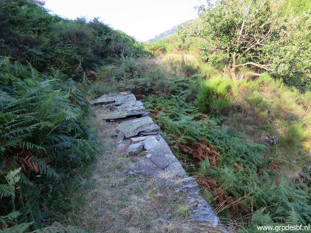 | Part of the trail, showing that in the old days it was a much used and thus maintained and ameliorated trail. Nowadays the trail gets overgrown in this part (the bend to Col Carrech) with fern in summertime. click photo to enlarge |
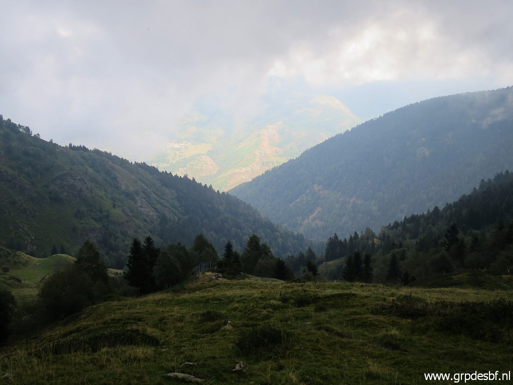
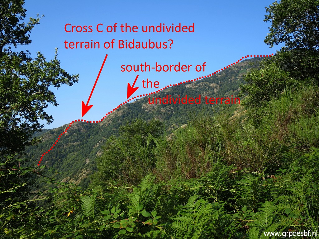 | From about Col Carrech this view to the ridge to the south-west. click photo to enlarge |
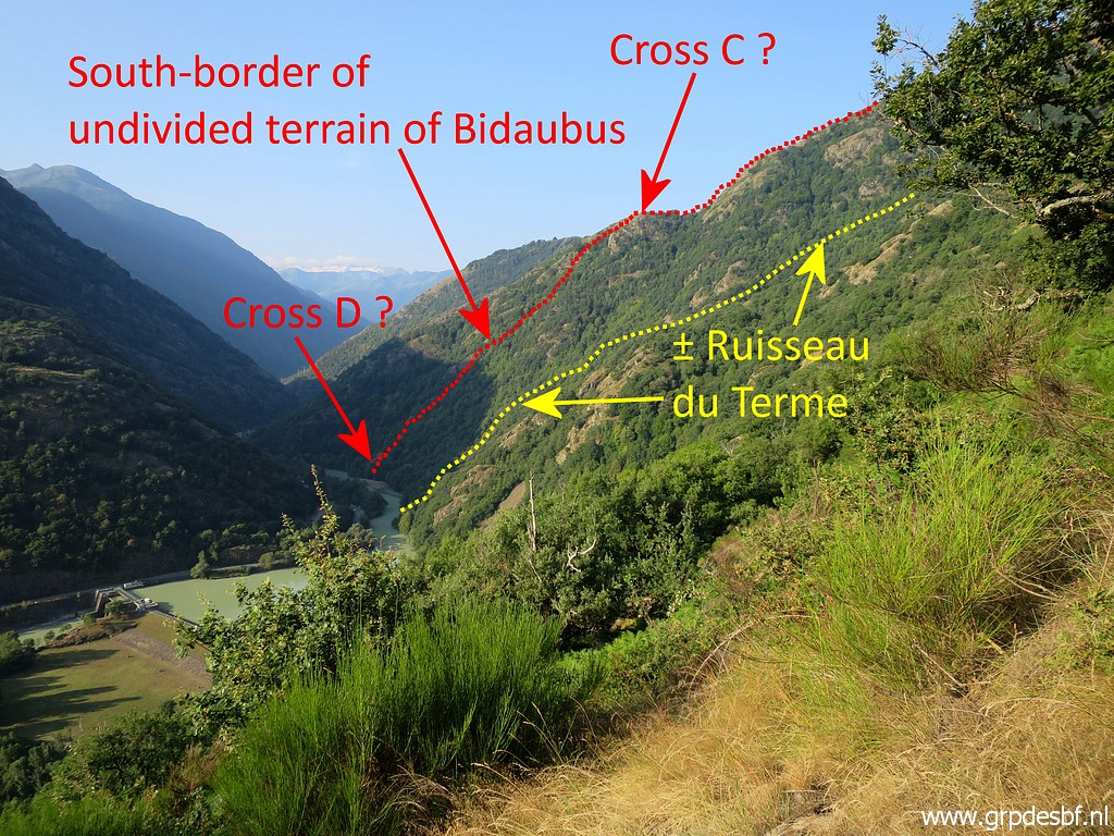 | Another view to that same ridge. See this page for more information on the undivided terrain of Bidaubus. click photo to enlarge |
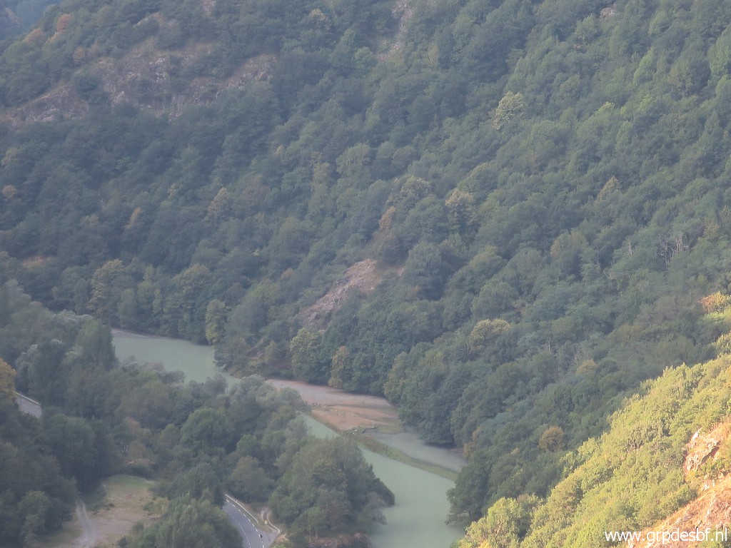 | Zoom-in to the approximate spot where the Ruisseau du Terme merges with the Garonne. click photo to enlarge |
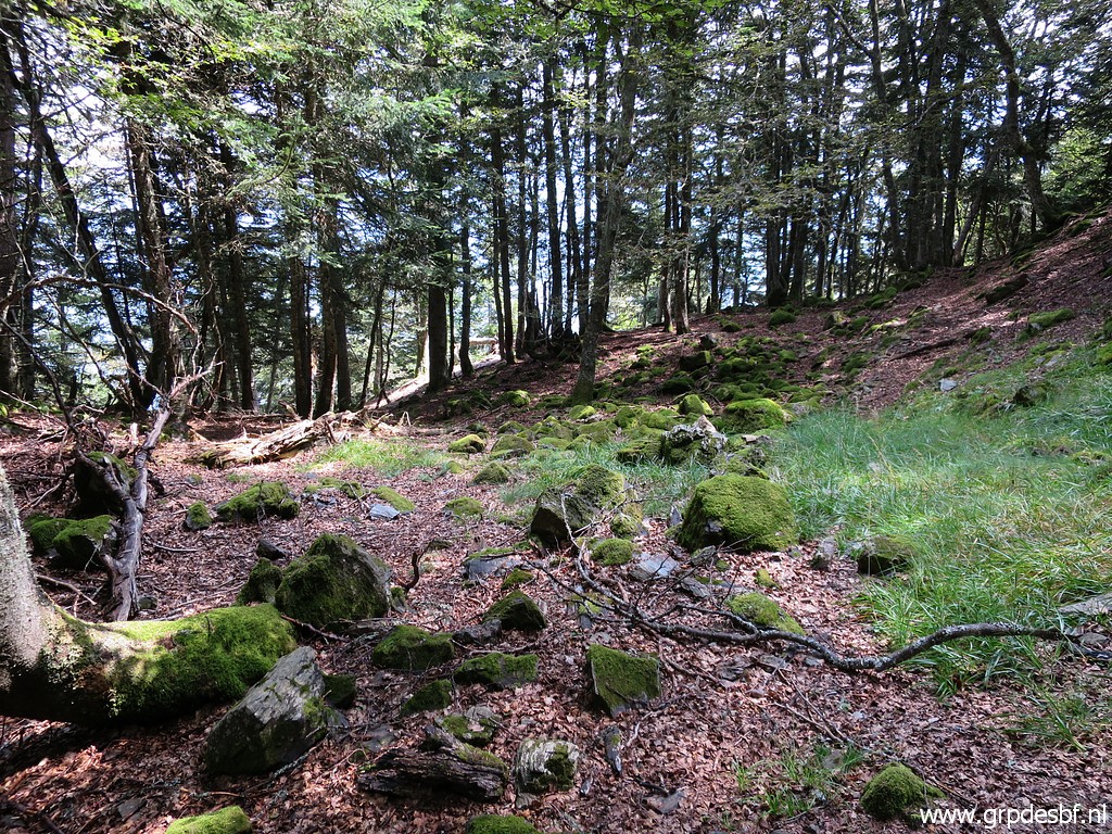
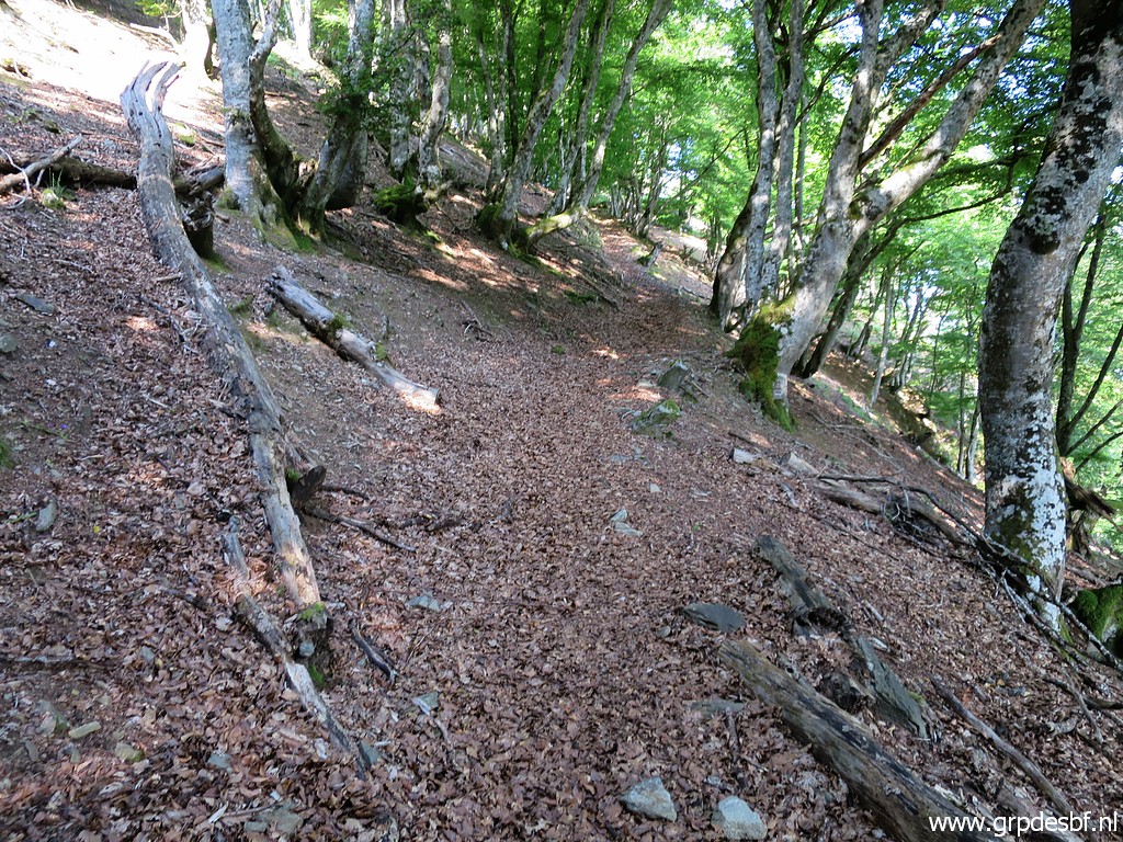 | Continuing in the beech forest. click photo to enlarge |
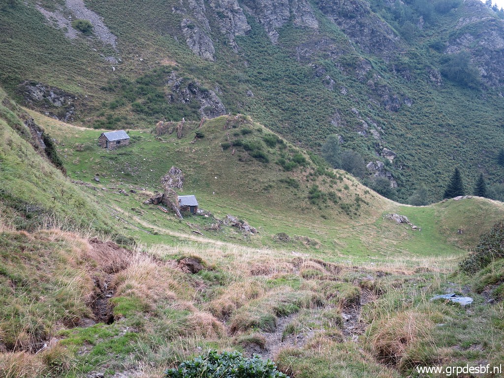
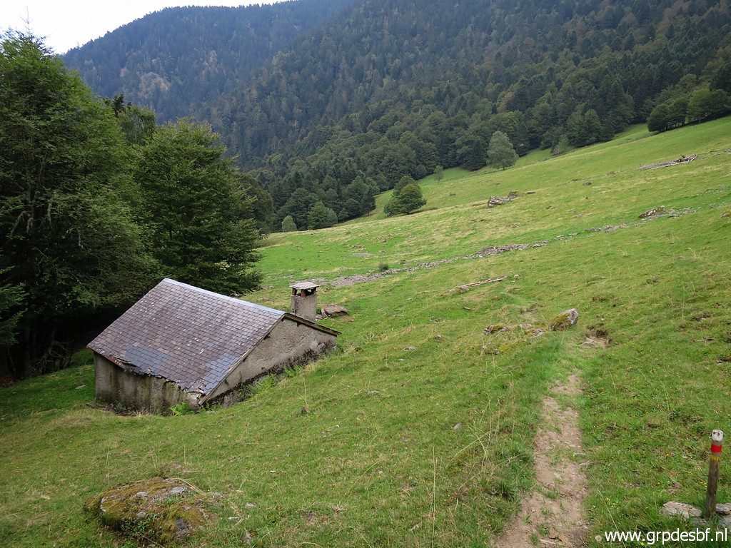
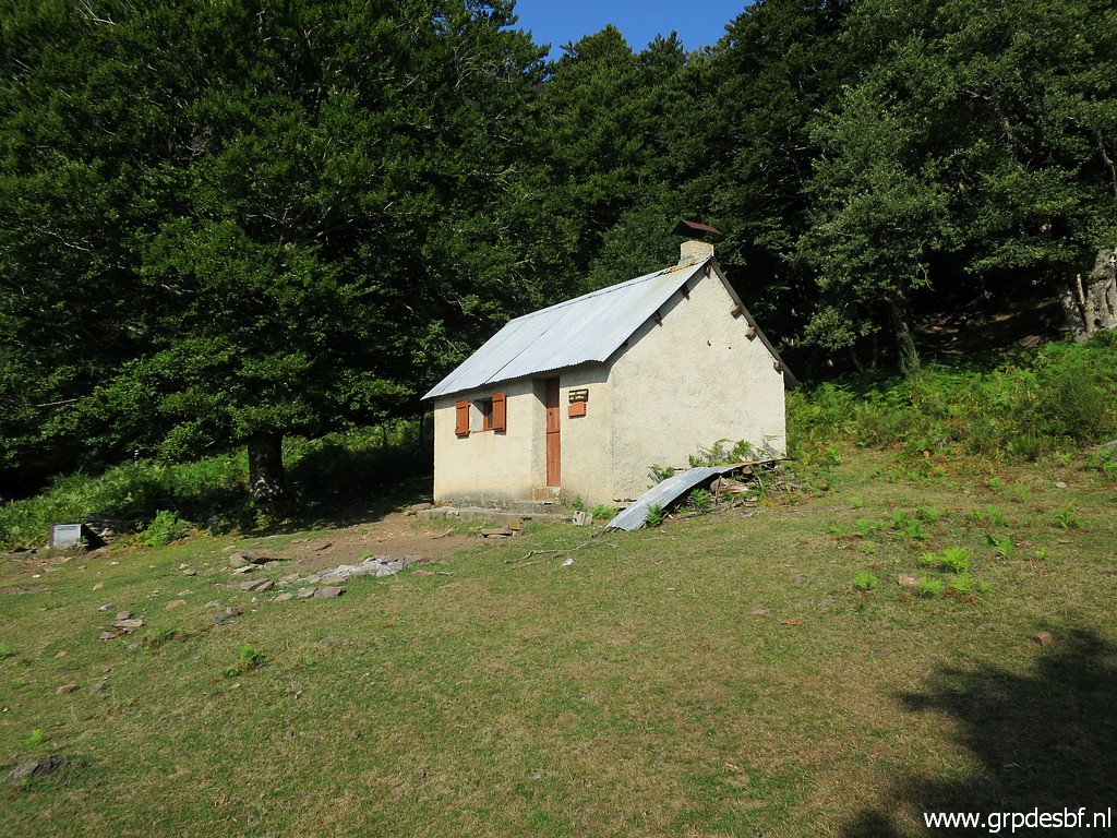 | Arriving at cabane des Réchets, a fine cabane with a splendid view. click photo to enlarge |
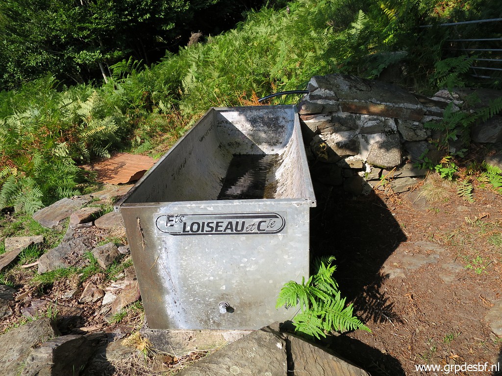 | This watertrunk is empty, the hose having become disfunctional since a few years. But no problem, there is a stream cq source about 200m to the SW-SWW. click photo to enlarge |
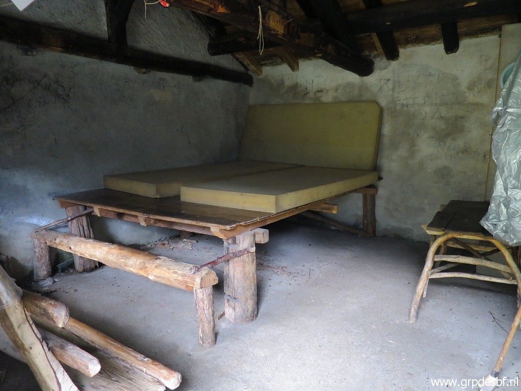
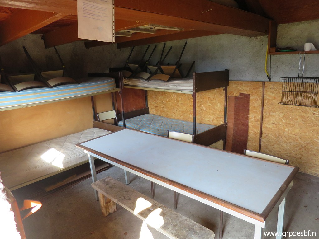 | The tidy cabane from the inside. click photo to enlarge |
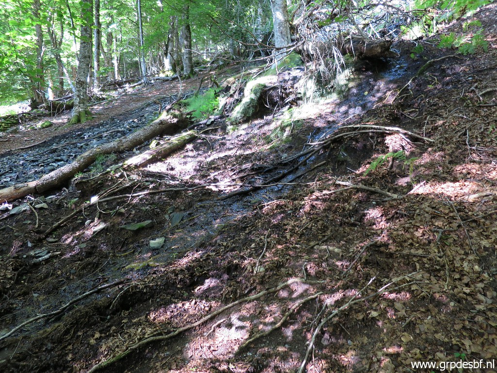 | I continue in the direction of bm408IV and come - after ± 150 SW - across this tiny stream. I follow it upstream - waypointing it in my gps - click photo to enlarge |
 | and end up at this source of the stream which is 200m SWW of the cabane. click photo to enlarge |
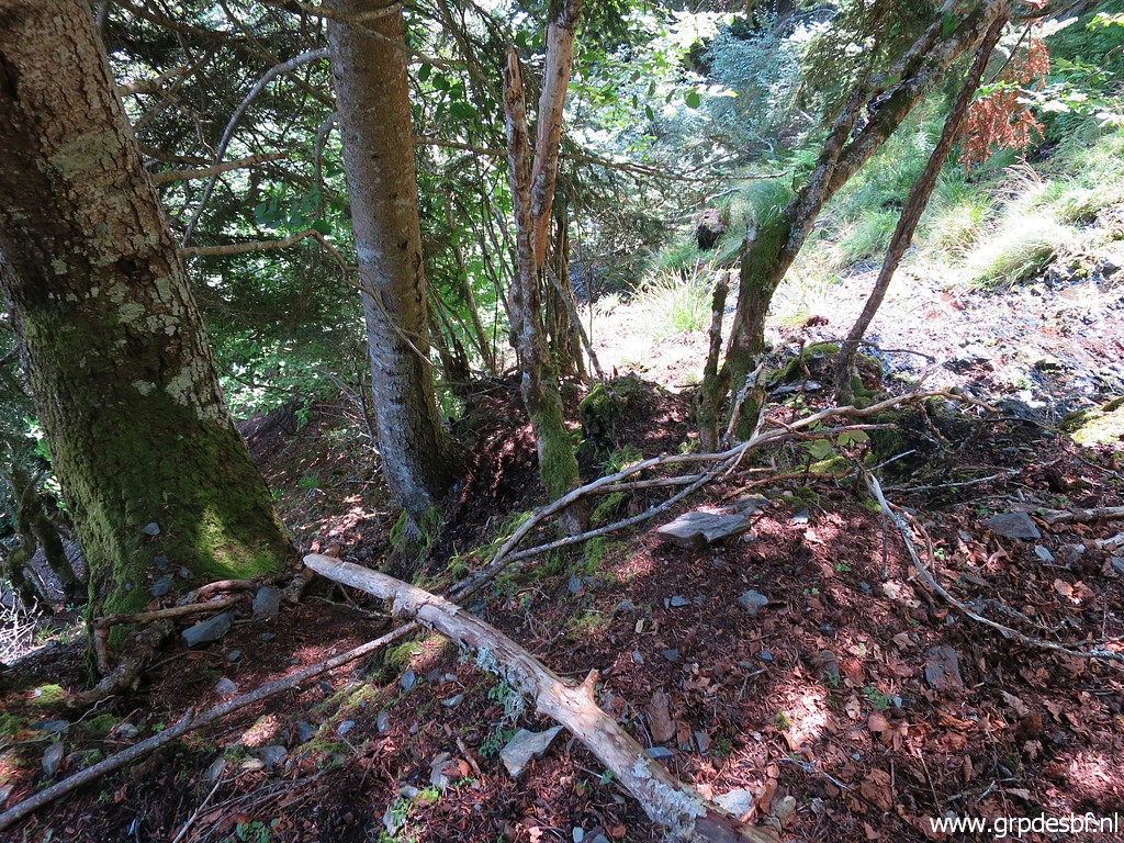
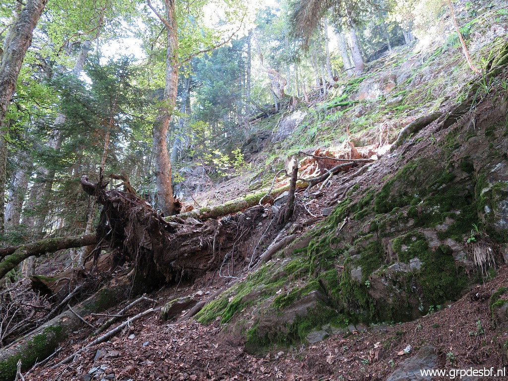
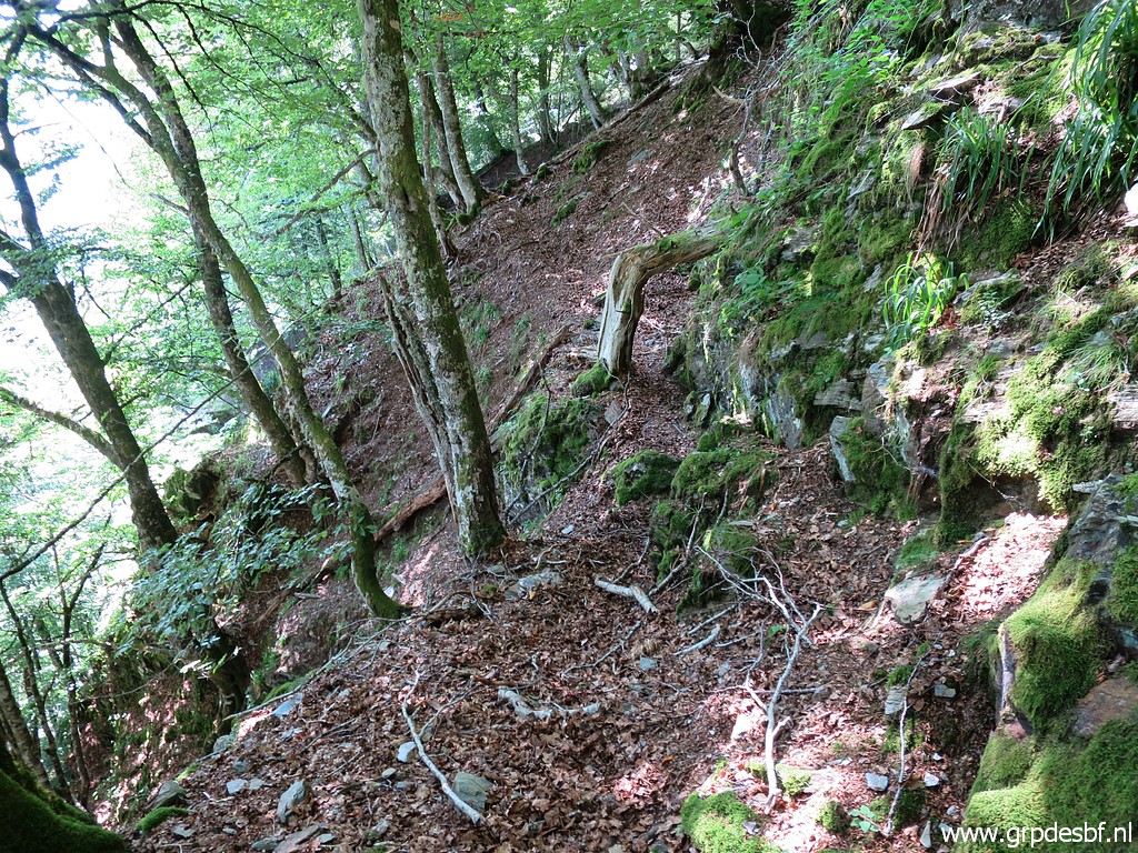 | I climb through the forest in the direction of bm408IV, it's a steep hillside to climb. But there is vague trail here - found before on other trips - with the bended tree-trunk which you need to pass underneath. click photo to enlarge |
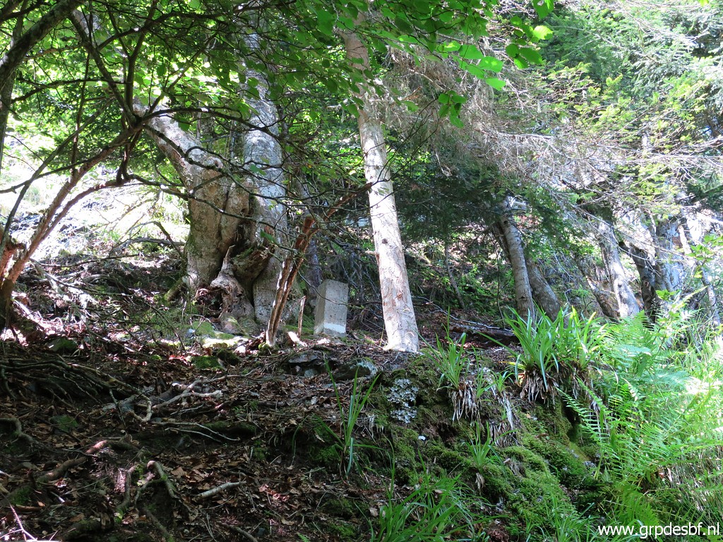
 | Having arrived at the tilted 'plateau' where bm408IV is to be found higher on. Below bm408IV starts at a source a tiny stream which click photo to enlarge |
 | disappears in the deep beyond this edge as a sort of cascade. The question is if this stream has a continuation at the bottom of this cliff. It doesn't matter anymore in the bm408-submarkers discussion but I'm curious. Reason enough for a next visit next year. click photo to enlarge |
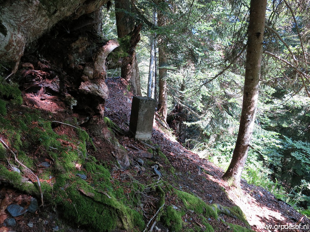
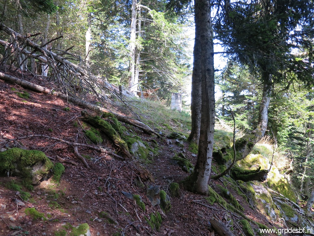
 | I climb towards bm408IV click photo to enlarge |
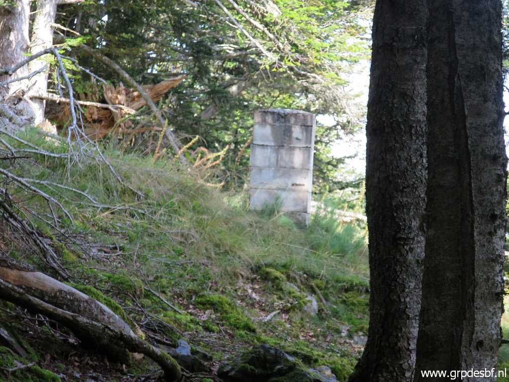
 | which is (zoom-in) behind this tree. click photo to enlarge |
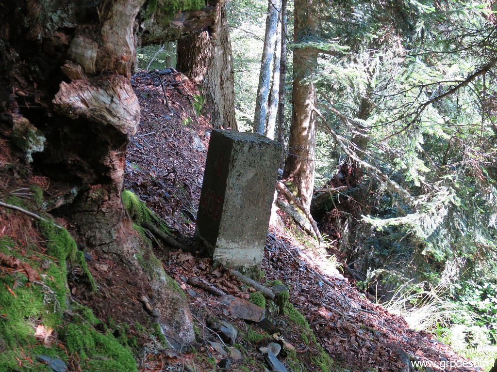
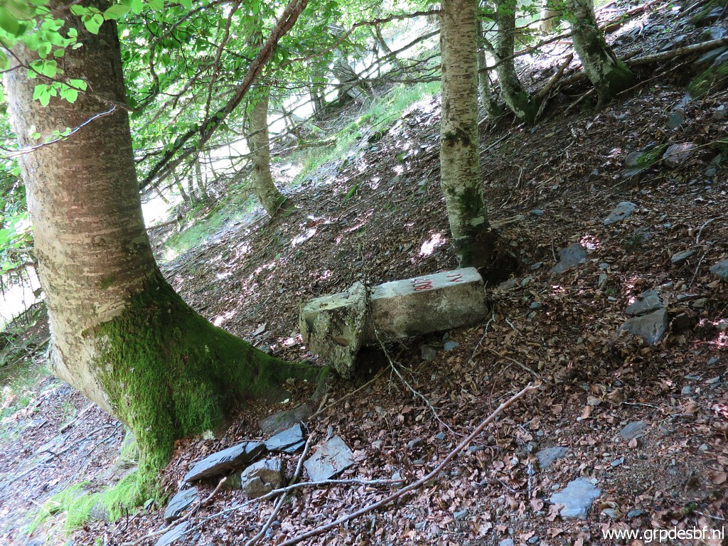 | It was found last year by Xabi Molia, the son of Michel Molia in an epic trip on 31 may 2018 to find the lost bm408III and 408IV. click photo to enlarge |
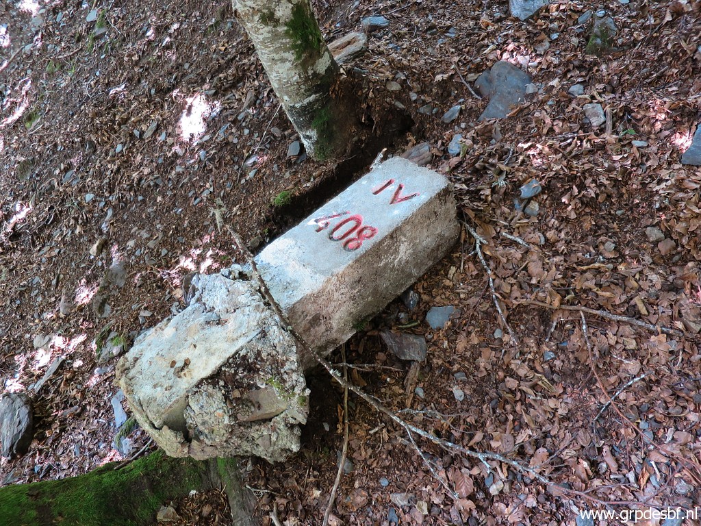 | I'm back for new and better pictures. click photo to enlarge |
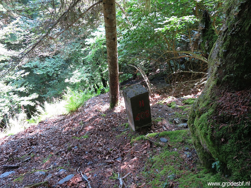
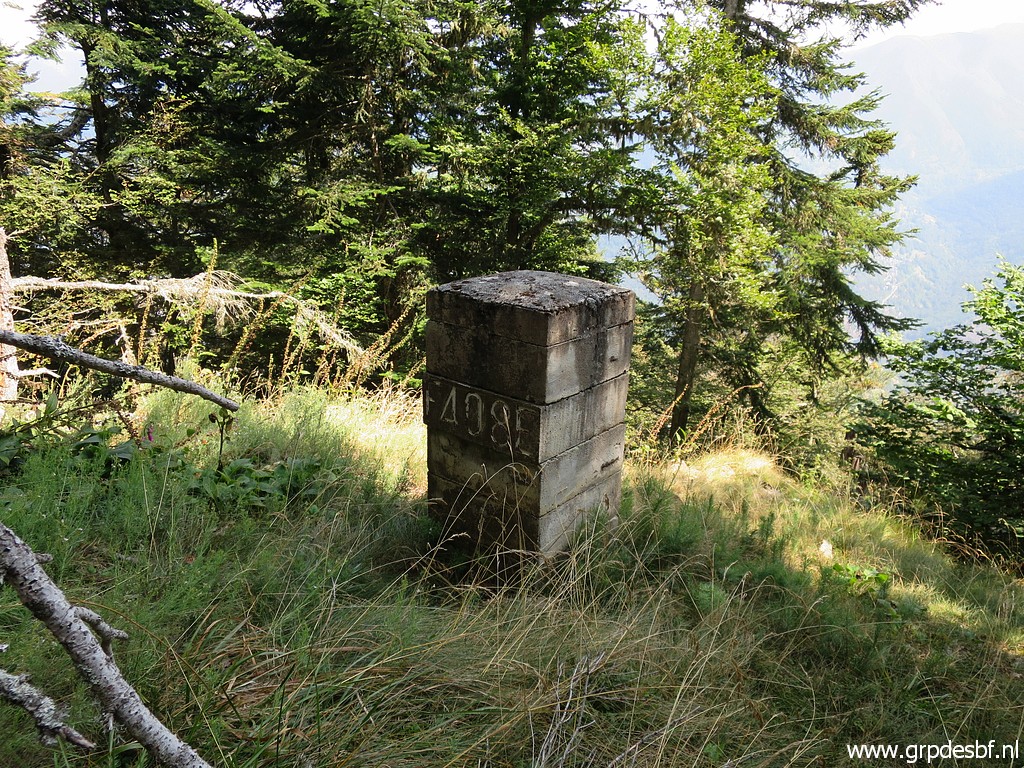
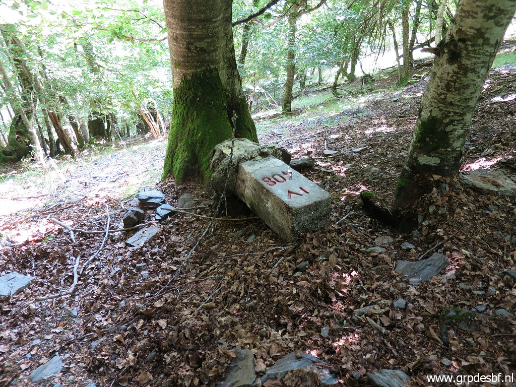 | Bm408IV click photo to enlarge |
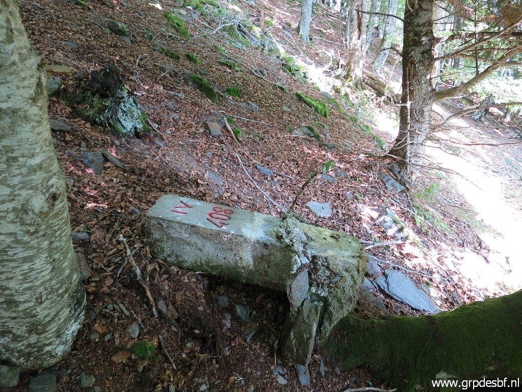 | Bm408IV click photo to enlarge |
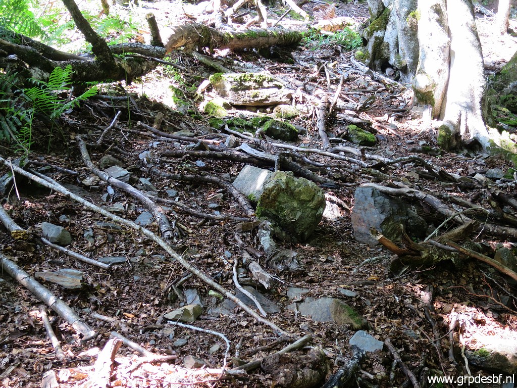
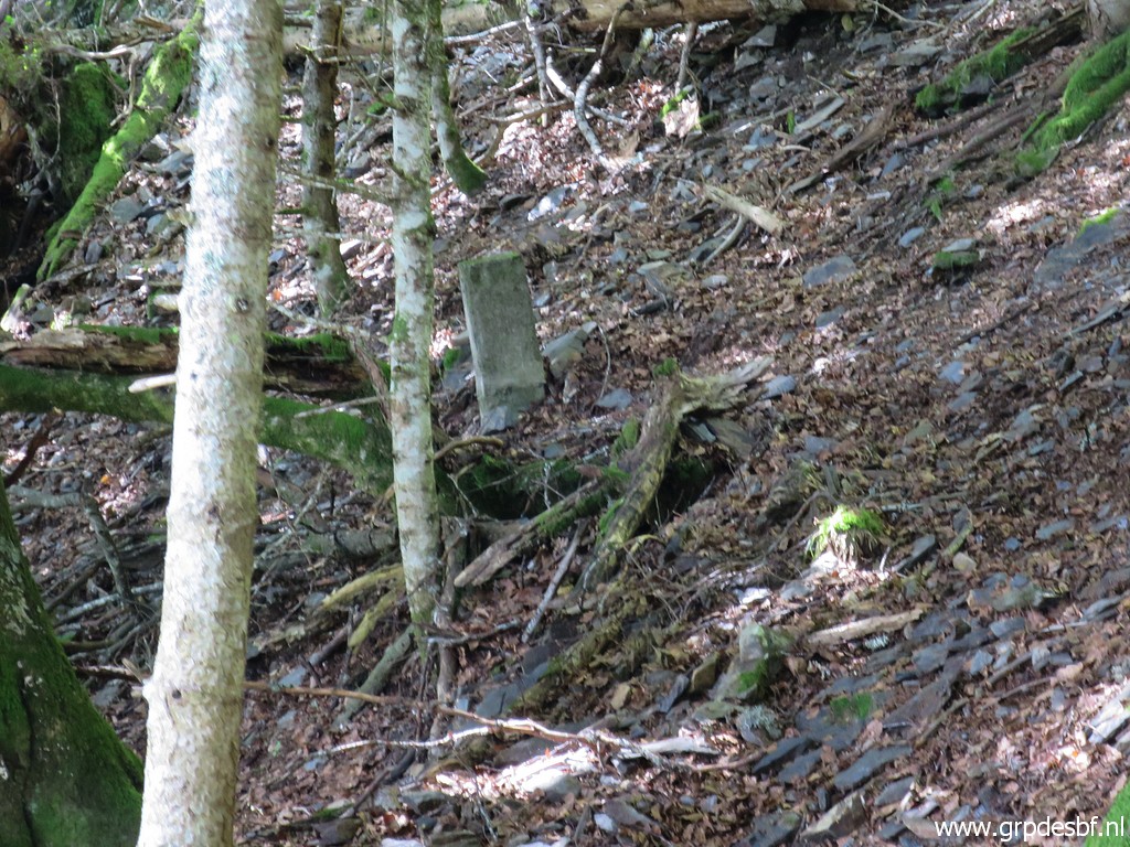
 | Then I climb to bm408III click photo to enlarge |
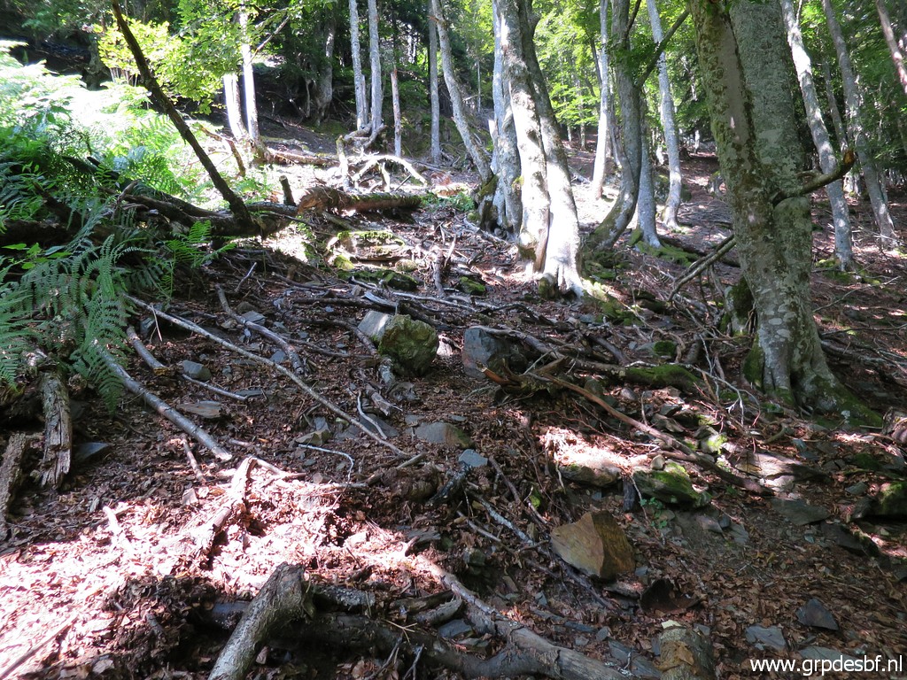
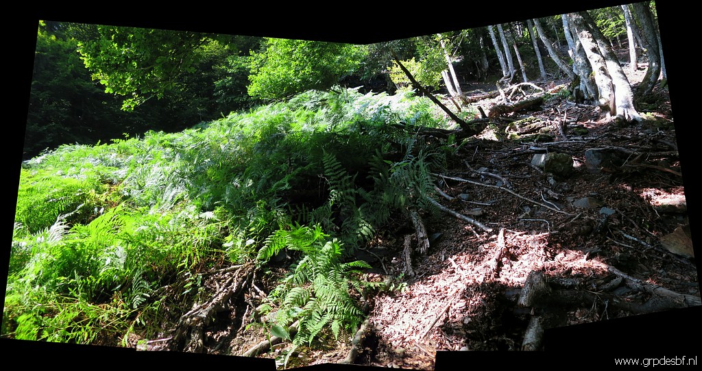 | which is at the north-side of a field of fern covering the lower part of the small stream which starts at bm408I. click photo to enlarge |
 | Bm408III click photo to enlarge |
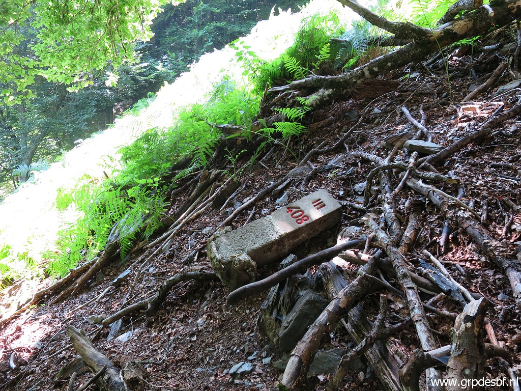 | Bm408III click photo to enlarge |
 | Bm408III click photo to enlarge |
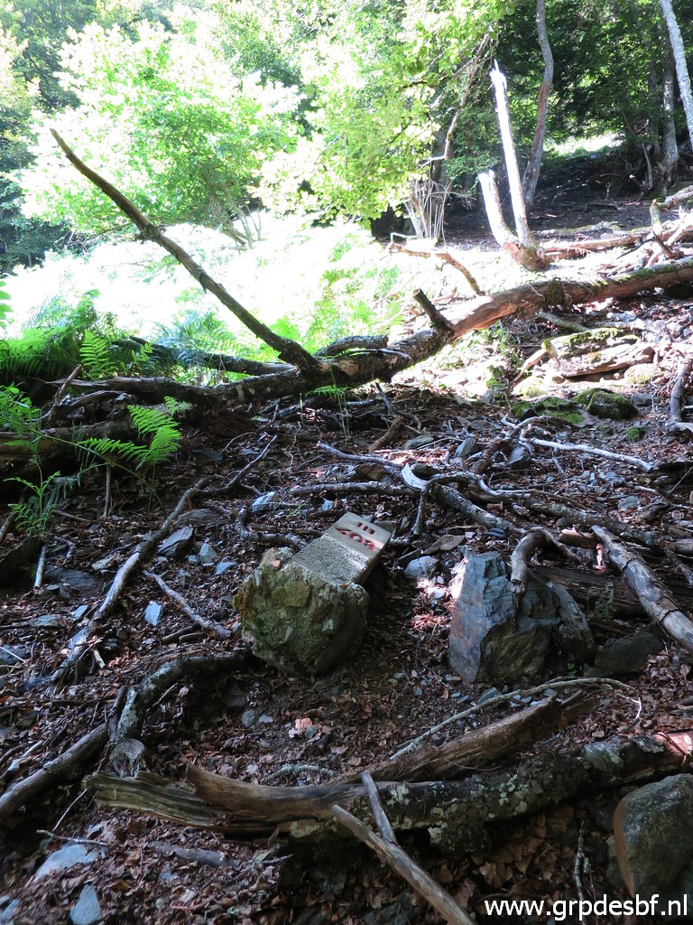 | Bm408III click photo to enlarge |
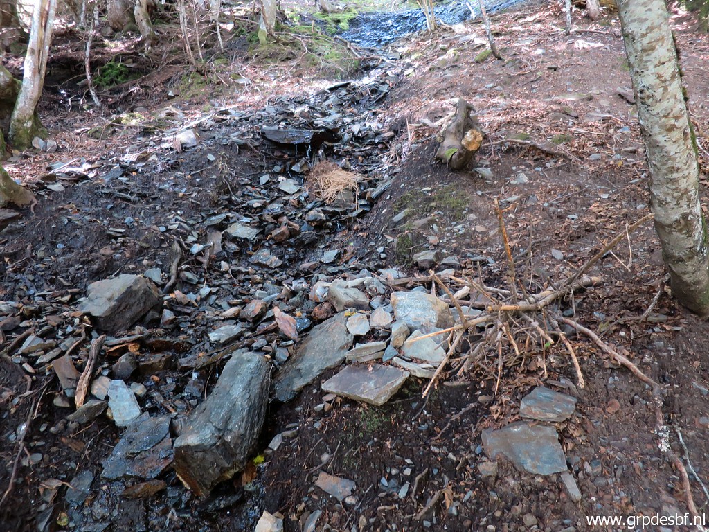 | That stream is only - now in august - runnig in the upper part. click photo to enlarge |
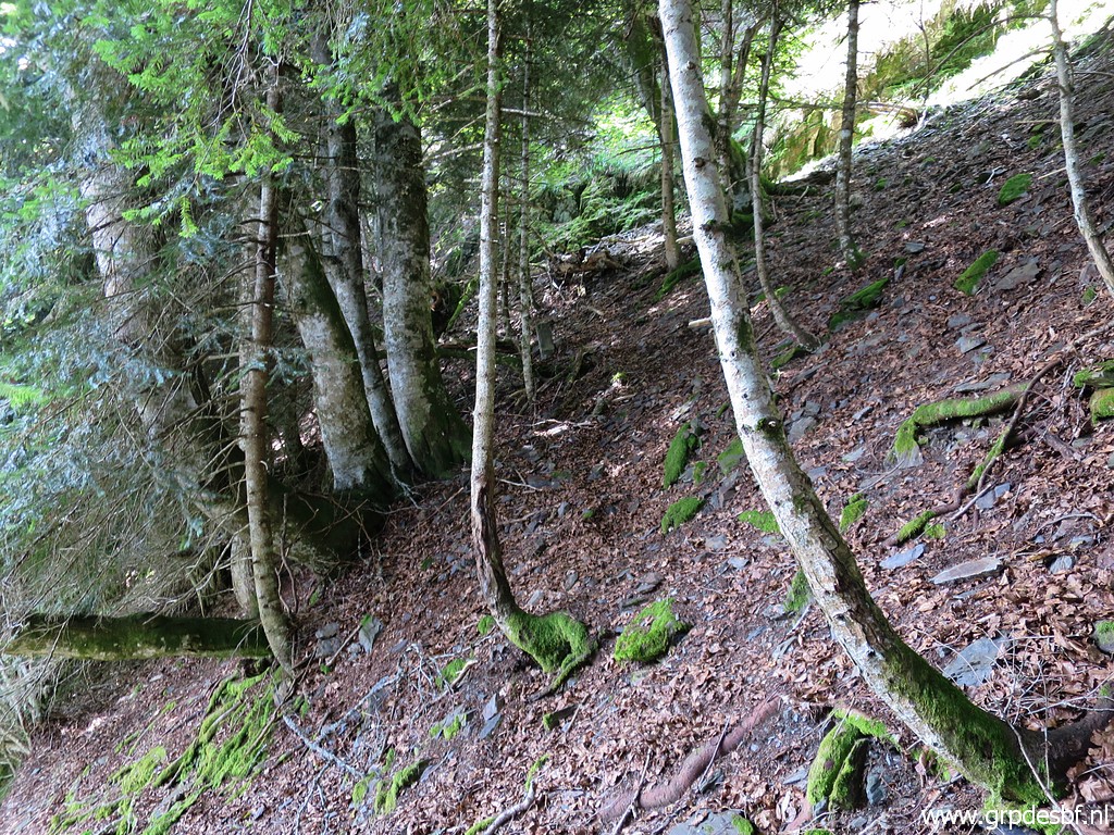
 | I climb towards bm408II, the slope is rapidly getting steeper. click photo to enlarge |
 | Bm408II (zoom-in) click photo to enlarge |
 | Bm408II click photo to enlarge |
 | Bm408II click photo to enlarge |
 | Bm408II click photo to enlarge |
 | Bm408II click photo to enlarge |
 | I continue climbing uphill which becomes even more difficult on this very steep hillside. Be careful, better not to be alone. click photo to enlarge |
 | Finally I reach the upper part where it gets less steep, to my relief. That's where - at the beginning of the cascade-like stream - I find click photo to enlarge |
 | Bm408I click photo to enlarge |
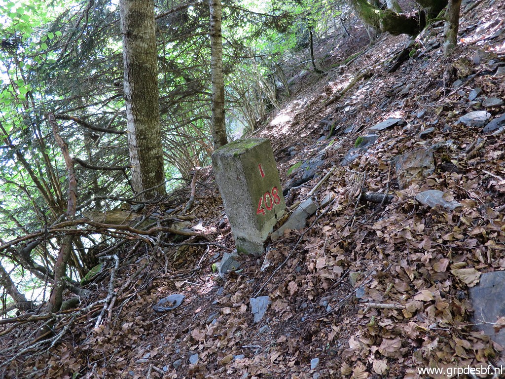 | Bm408I click photo to enlarge |
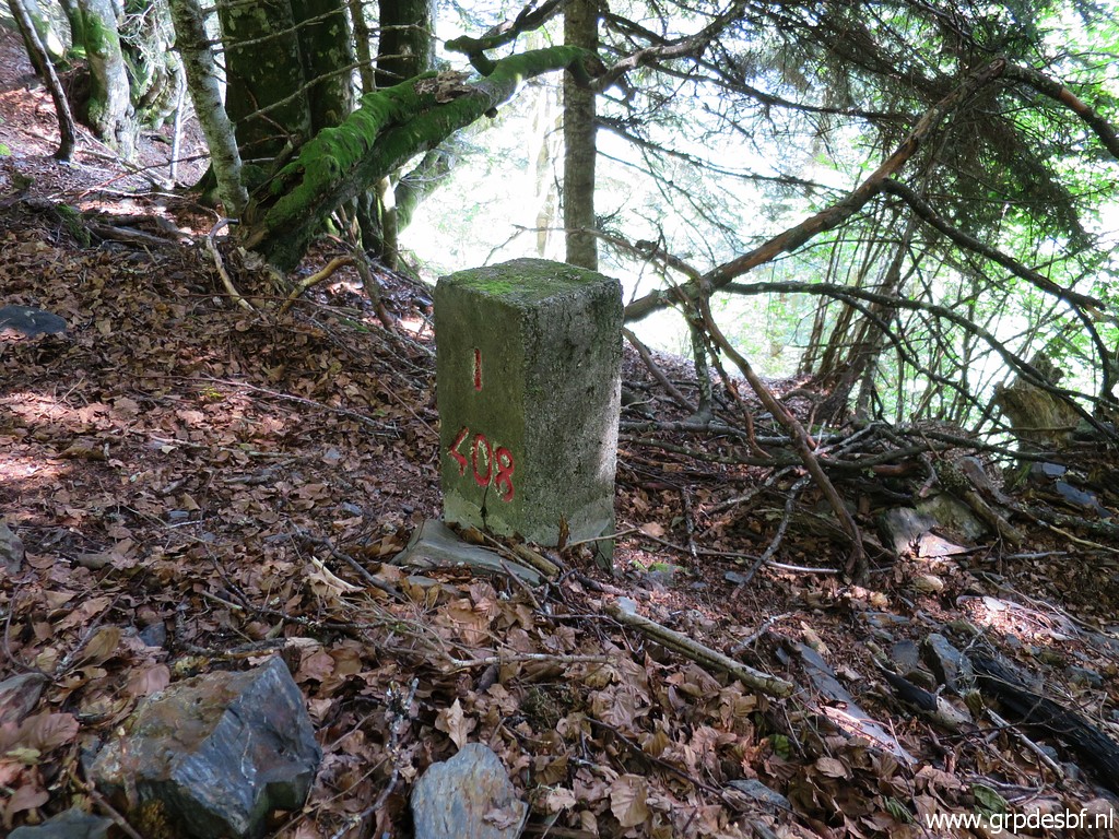 | Bm408I click photo to enlarge |
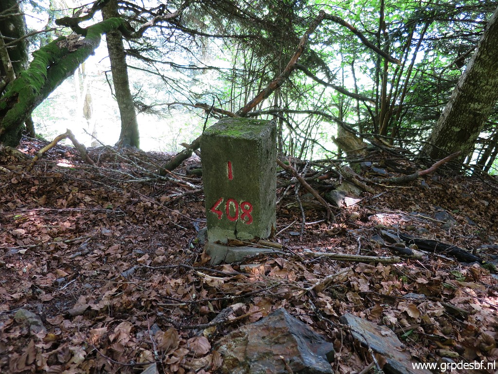 | Bm408I click photo to enlarge |
 | Bm408I click photo to enlarge |
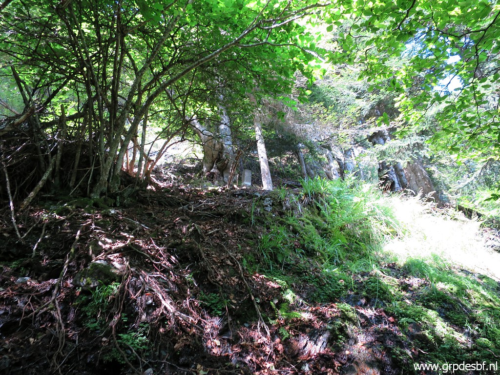
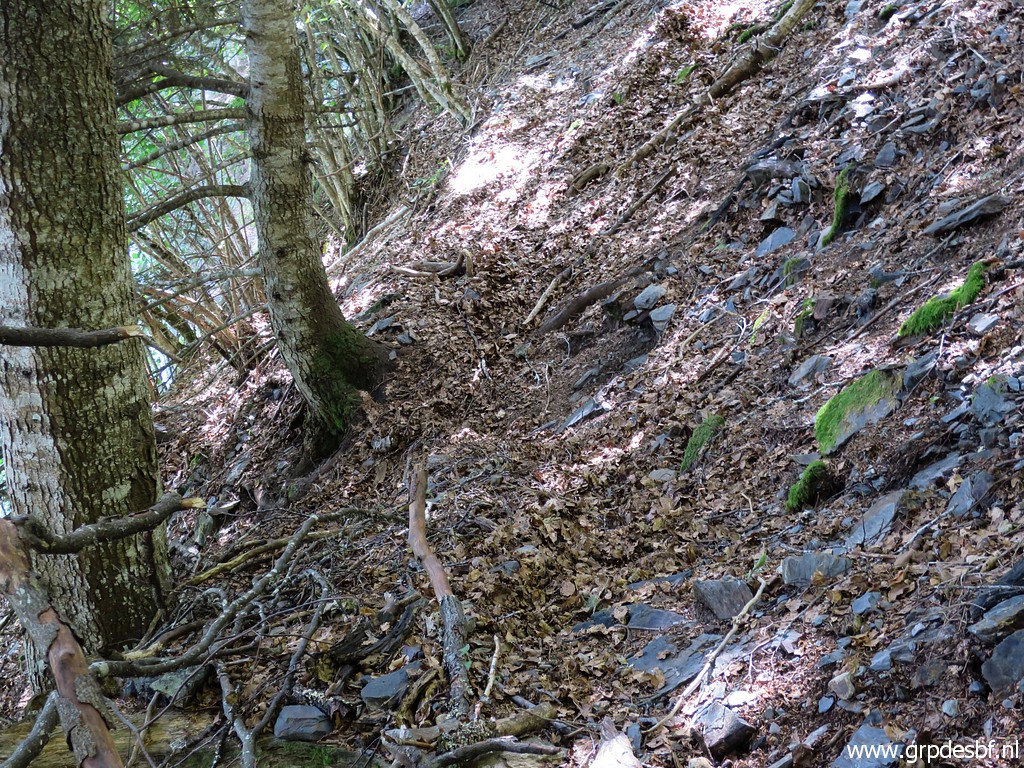 | At this edge of the 'precipice', there is a sort of trail going south. I suppose it's a game trail. click photo to enlarge |
 | Then (from bm408I) climbing up - less steep - finding my way around rocky steep parts in the direction of bm408 click photo to enlarge |
 | and in this case with a bend arriving SE of bm408. From bm408I it's better to start climbing early, in fact before a steep rockface cq outcrop. click photo to enlarge |
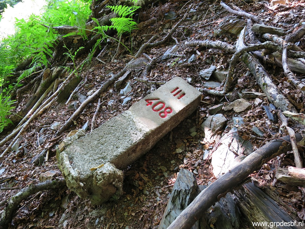
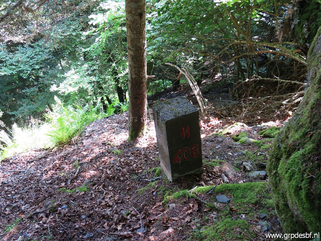
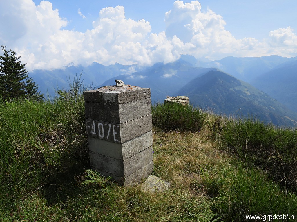
 | Bm408 (zoom-in) click photo to enlarge |
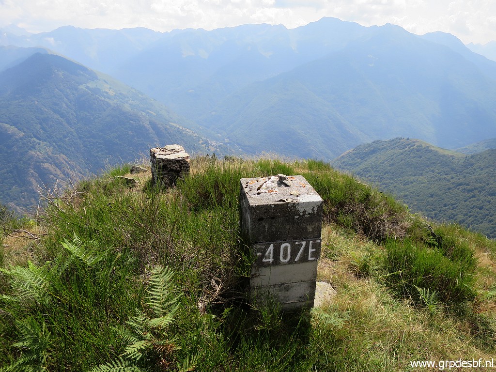
 | Bm408 click photo to enlarge |
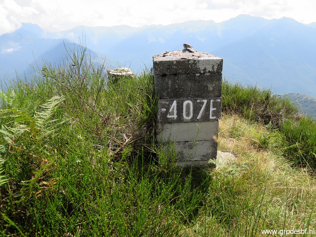
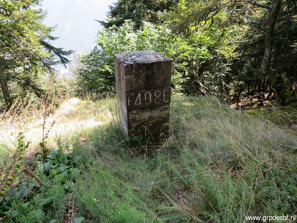 | Bm408 click photo to enlarge |
 | Bm408 click photo to enlarge |
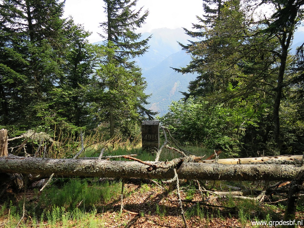
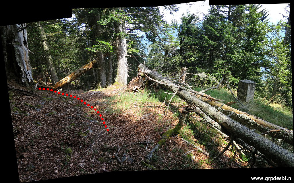 | Bm408 This pictures shows what is the best way to descend to bm408I downhill. click photo to enlarge |
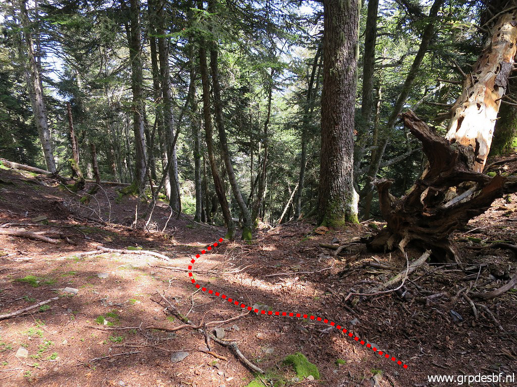 | So: about 15-20m to the north of bm408 a descent is more easy. click photo to enlarge |
 | Climbing from bm408 to the ridge, looking back. click photo to enlarge |
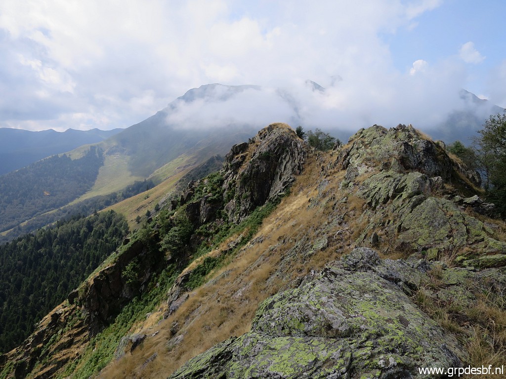
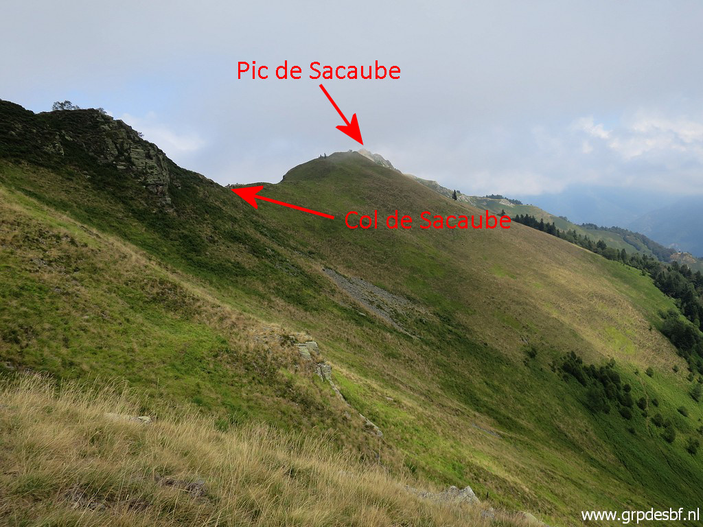
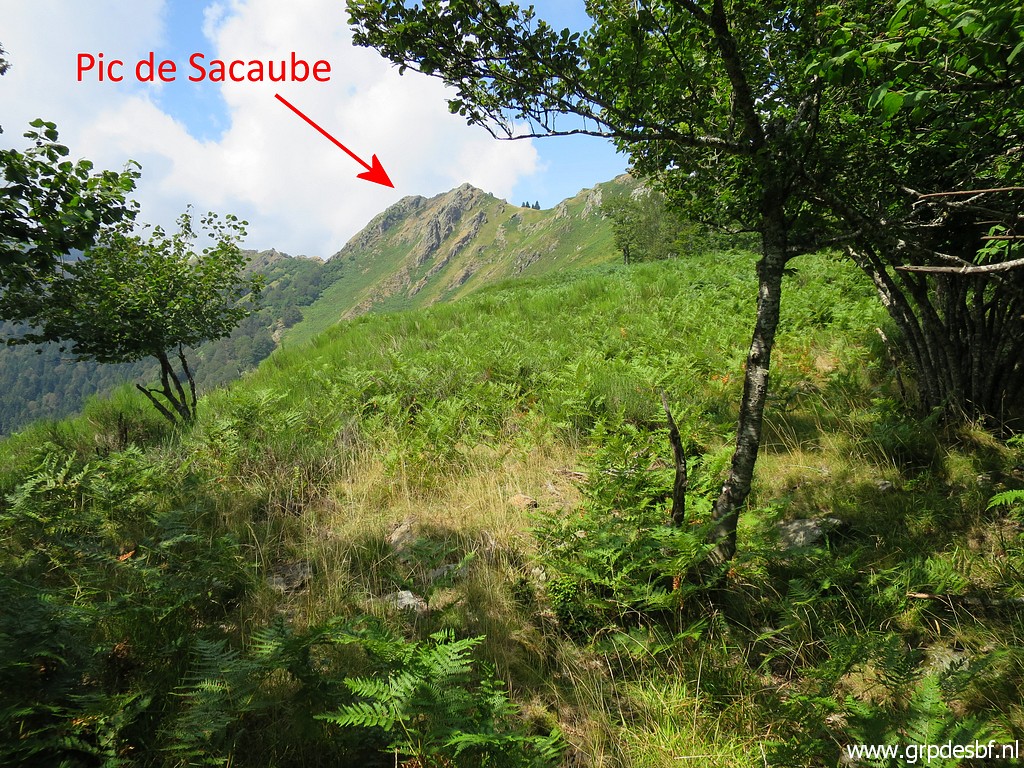 | Having arrived at the ridge with to the NW Pic de Sacaube. click photo to enlarge |
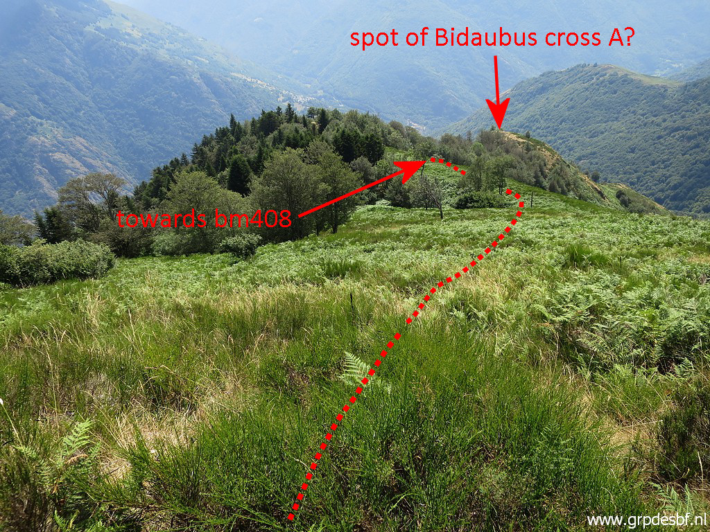
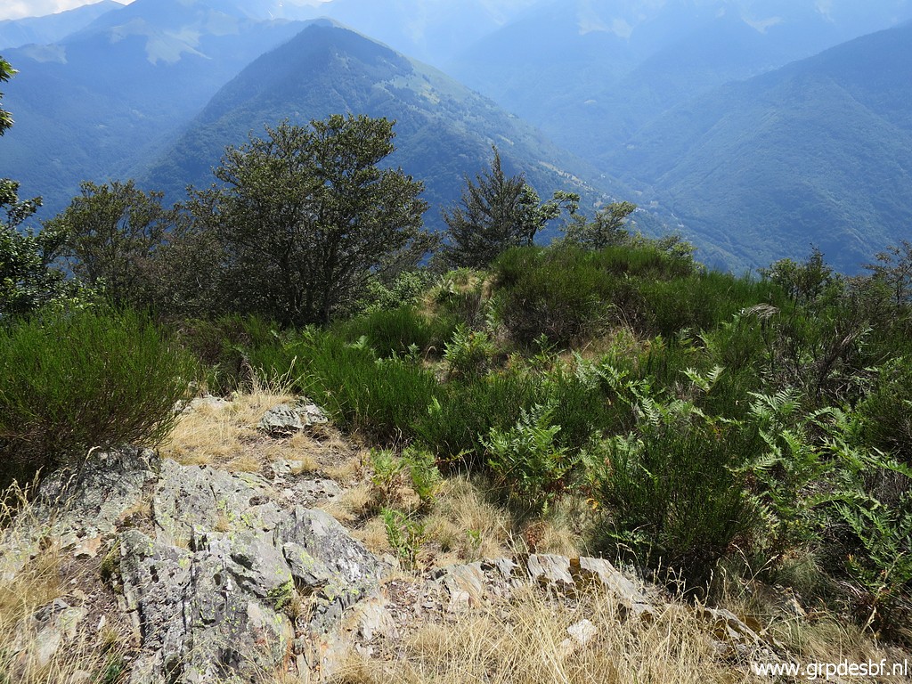 | Lookin
the other way. I skip a search for the Bidaubus cross A downhill to the
SE because of the undergrowth this time of the year. click photo to enlarge |
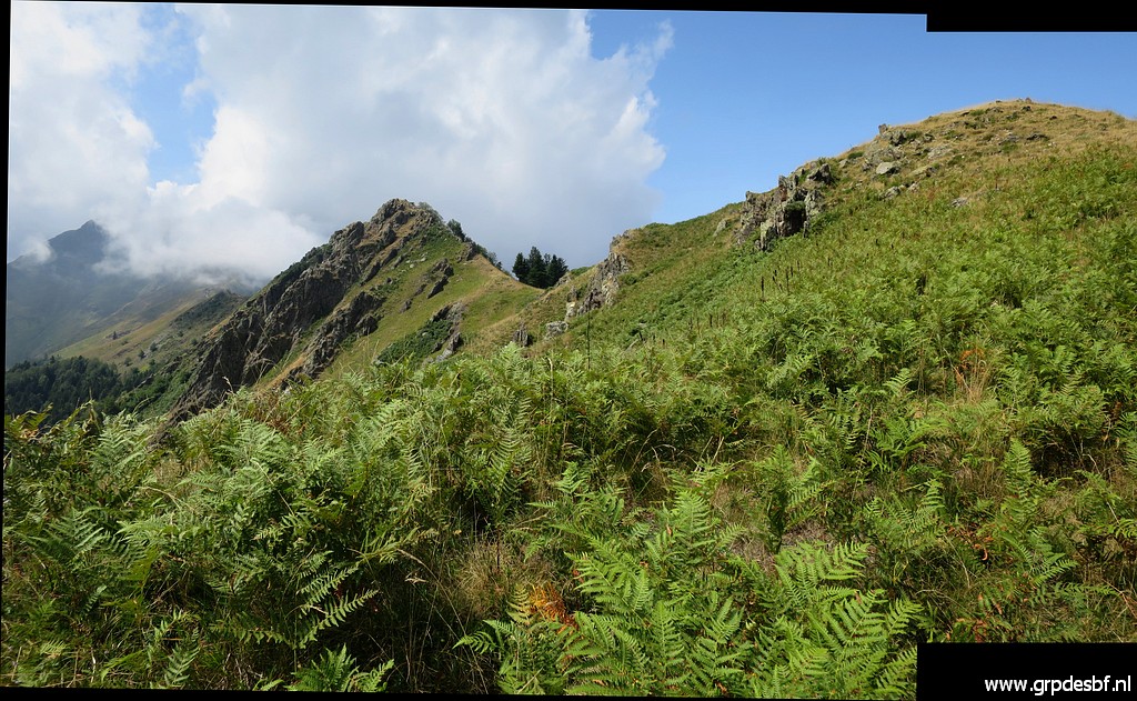
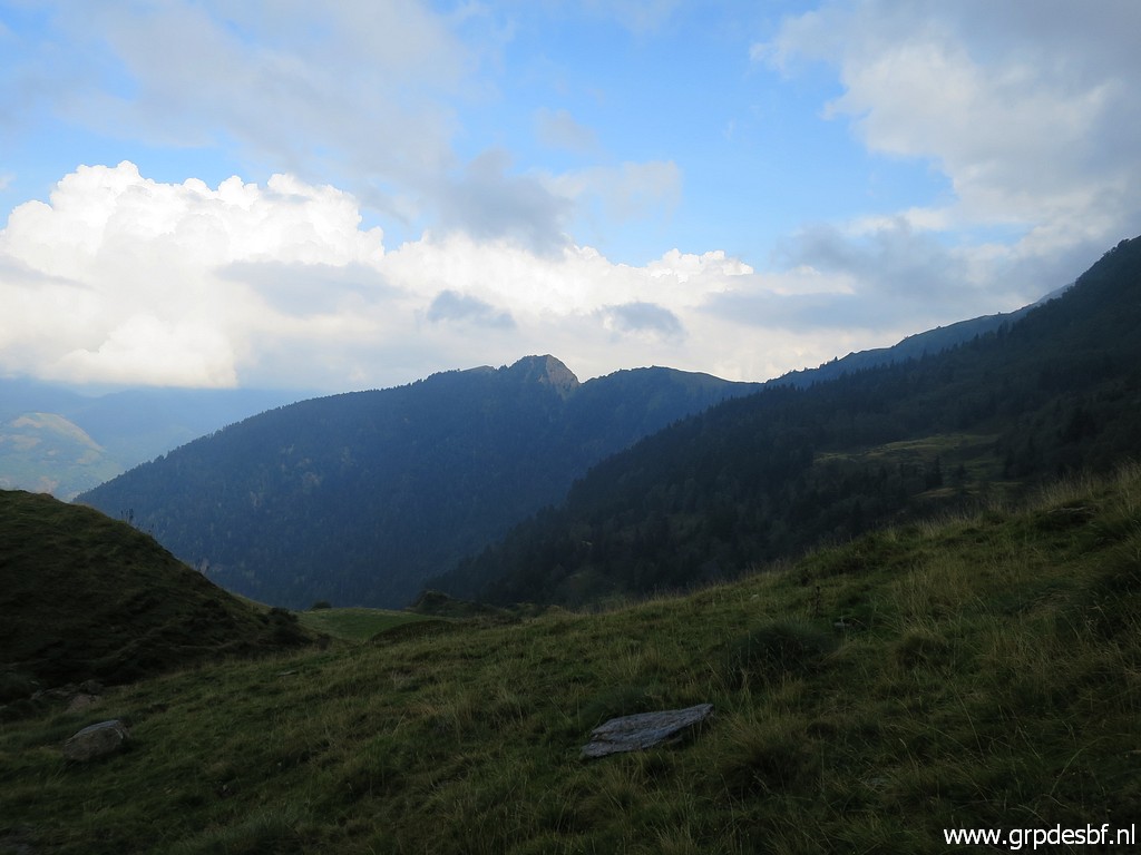
 | Instead I continue uphill towards Pic de Sacaube. The fern makes walking tough. Although the distance to bm406 is ± 3km as the crow flies, it will take me 3 hours. This picture: looking back with the route to take to get to bm408. click photo to enlarge |
 | Arriving at bm407 click photo to enlarge |
 | Bm407 click photo to enlarge |
 | Bm407 click photo to enlarge |
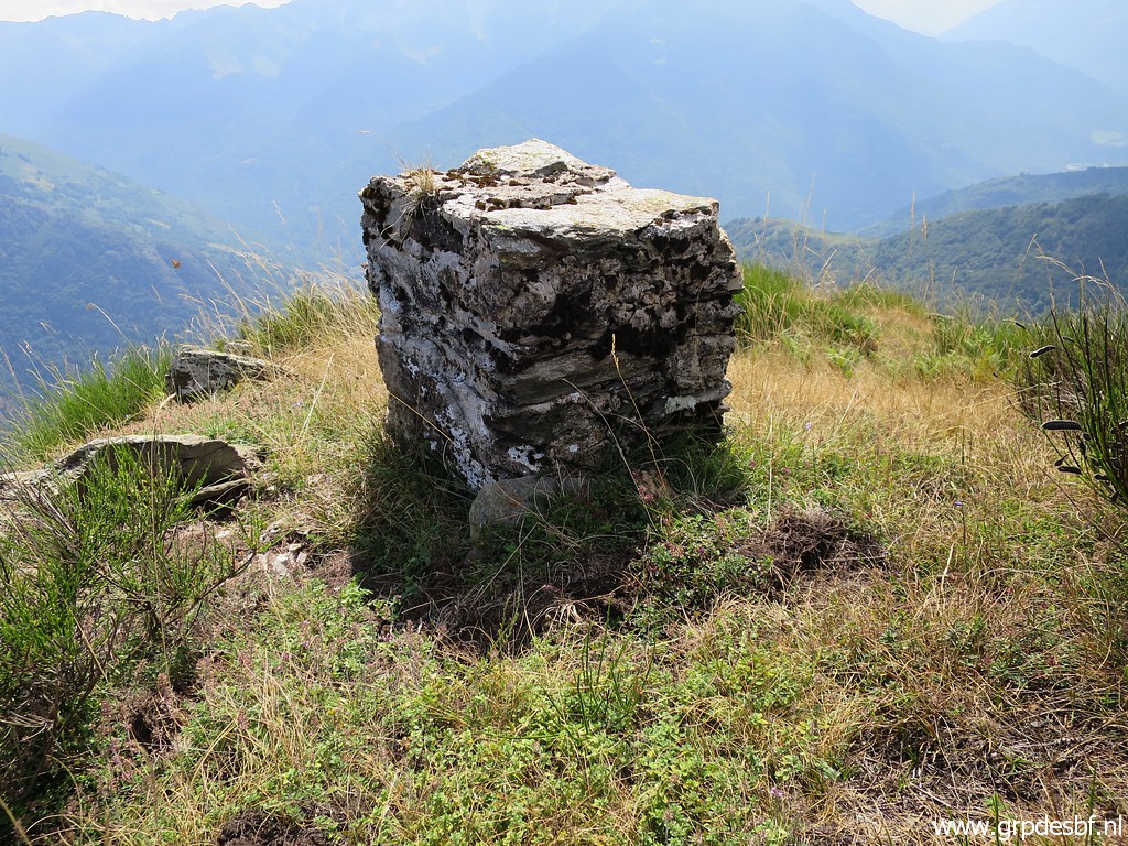 | Bm407 but now the former marker, built in the 1860-ies. The new bm407 was constructed in the 1950-ies when all former markers (most of them having disappeard completely long before) from bm333 to 417 where replaced. click photo to enlarge |
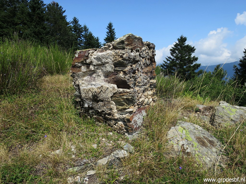 | There are a few other remnants left along the ridge between bm376 and 406 but this is by far the best preserved old marker. click photo to enlarge |
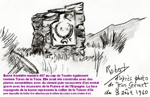 |
This is drawing of Robert
Darrieumerlou of a picture by Jean Sermet from 1960 showing the Spanish
weapon which was then still present. It represents the 'collier de la Toison d'Or' with a ram hanging from a gold collar. This drawing is to be found on Robert's extensive website on this page. |
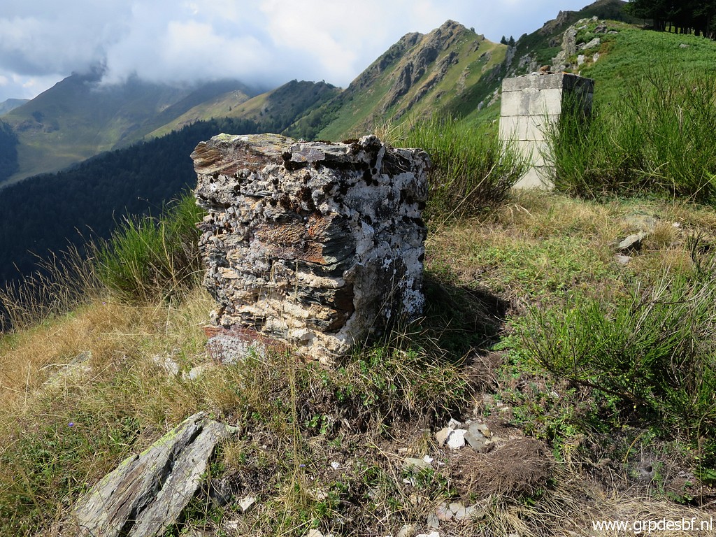 | Bm407 click photo to enlarge |
 | I head towards Pic de Sacaube. click photo to enlarge |
 | At the ridge there is a sort of trail. click photo to enlarge |
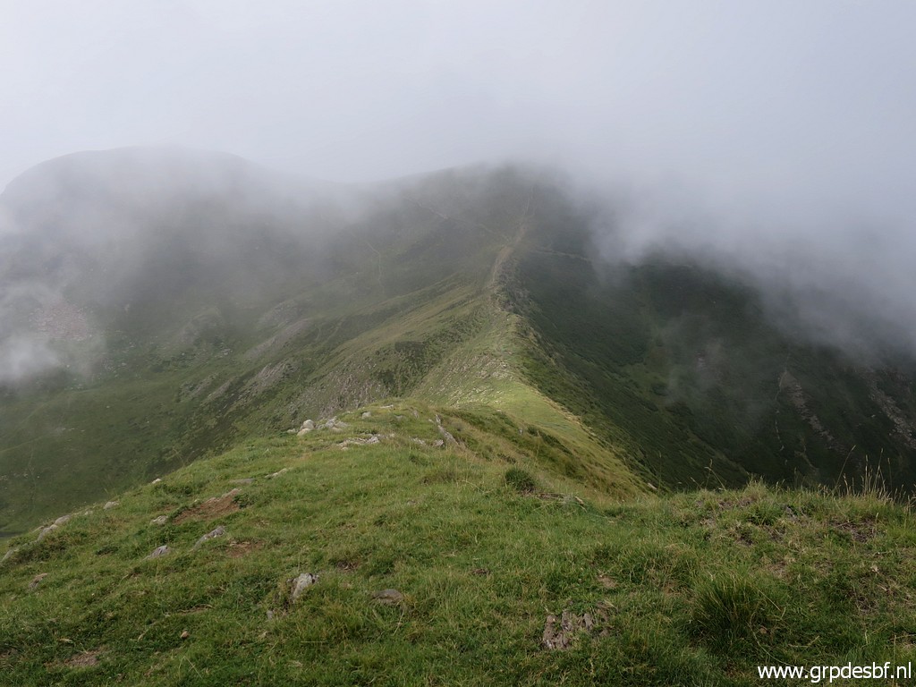
 | Getting along the ridge, clouds are drifting in. click photo to enlarge |
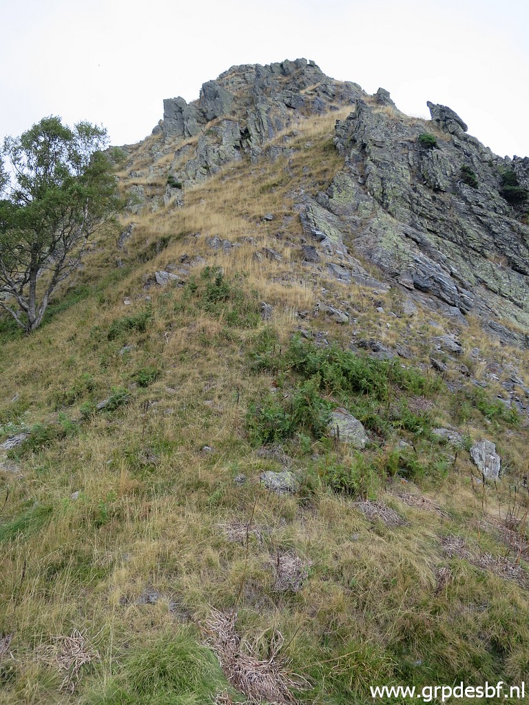
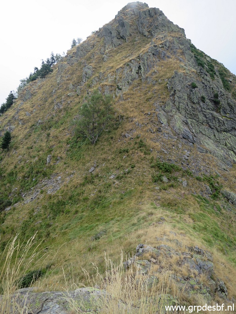
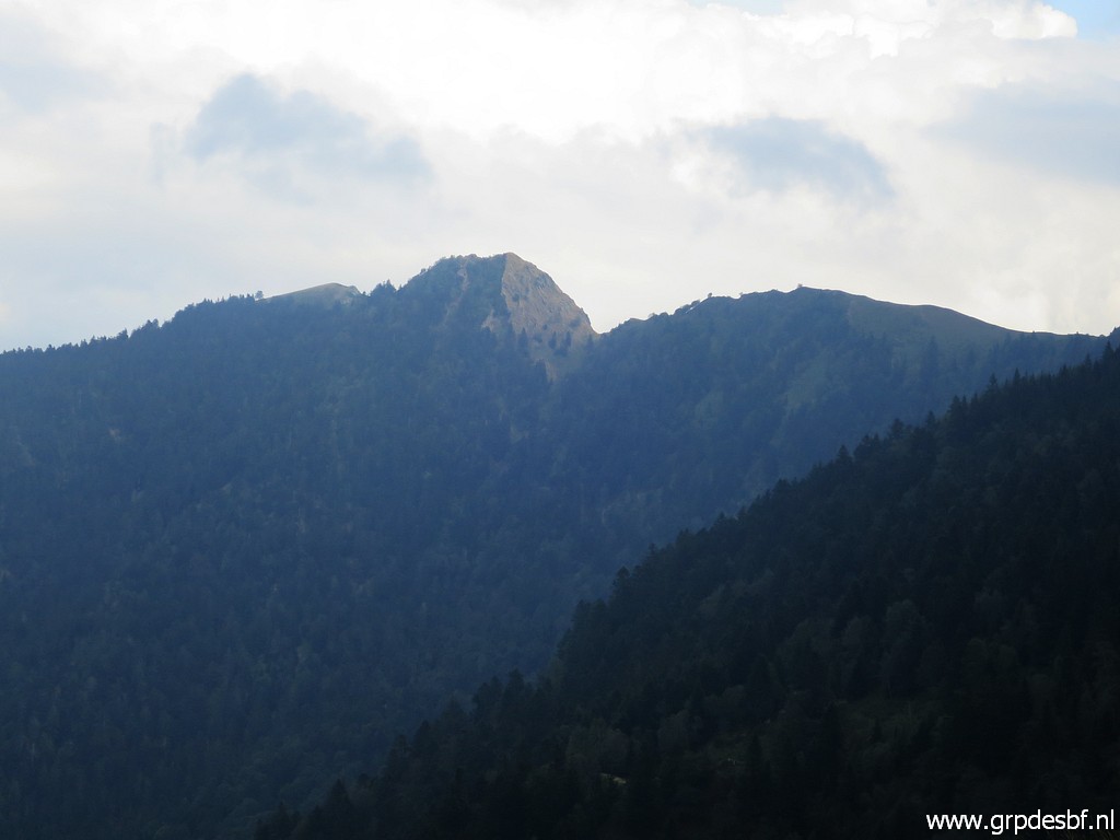
 | Having arrived at the Pic itself with a view of the steep descent to tackle. click photo to enlarge |
 | A wider perspective: the field in the depth to the right is where I will pass after descending from the Col d'Esclot d'Aou. But that is still a long and tough way to go. click photo to enlarge |
 | I descend at the south side of the ridge, that seems the most safe route. This picture: having descended and looking back uphill. click photo to enlarge |
 | About the same view. It seems that a more straightforward climbing is possible. click photo to enlarge |
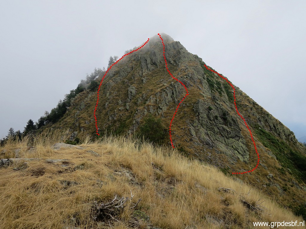 | But now the Pic in a more comprehensive view. I drew 3 possible routes to climb the Pic but I took the right one (south side) click photo to enlarge |
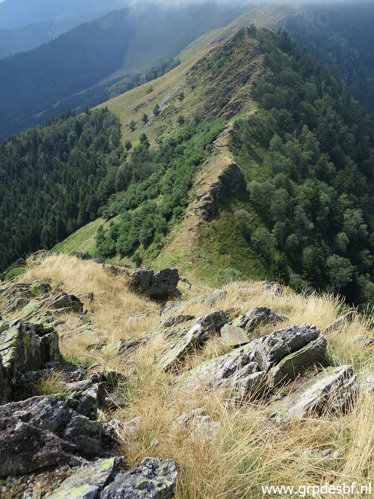
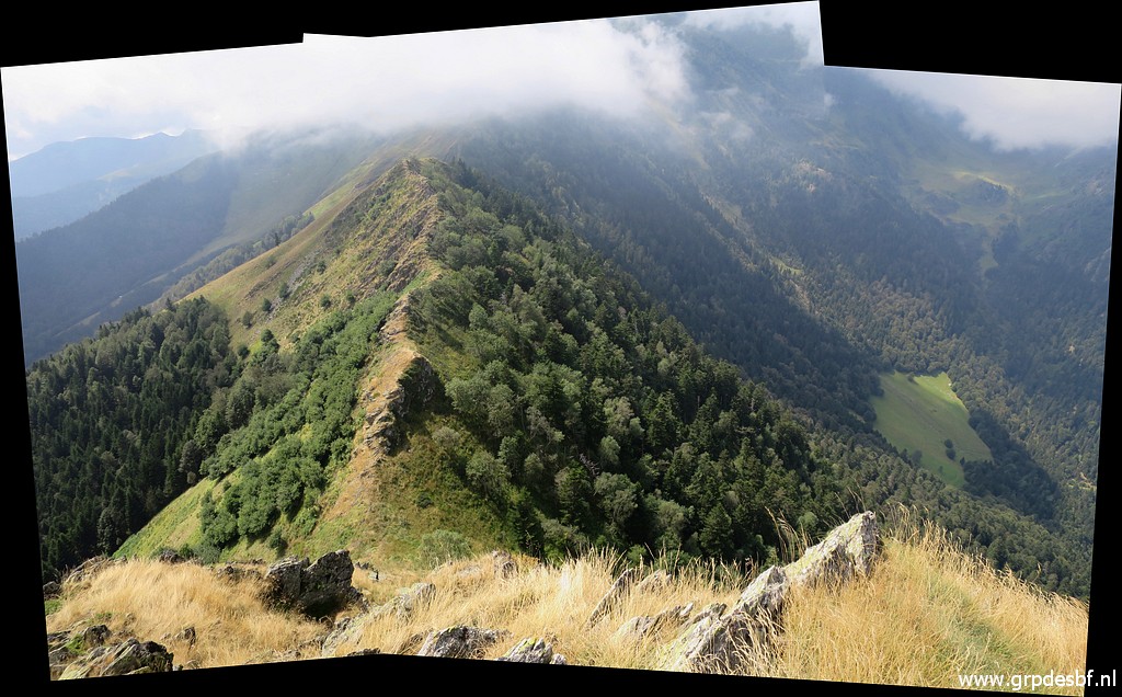
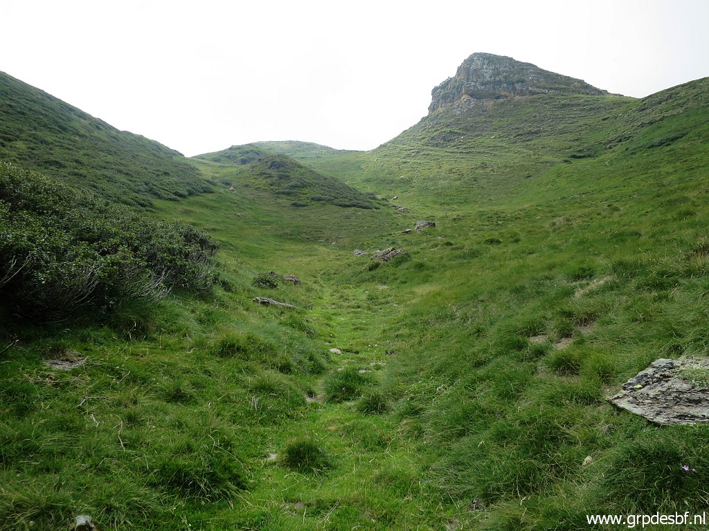
 | Getting along the ridge, sometimes descending a bit when the ridge get too sharp. click photo to enlarge |
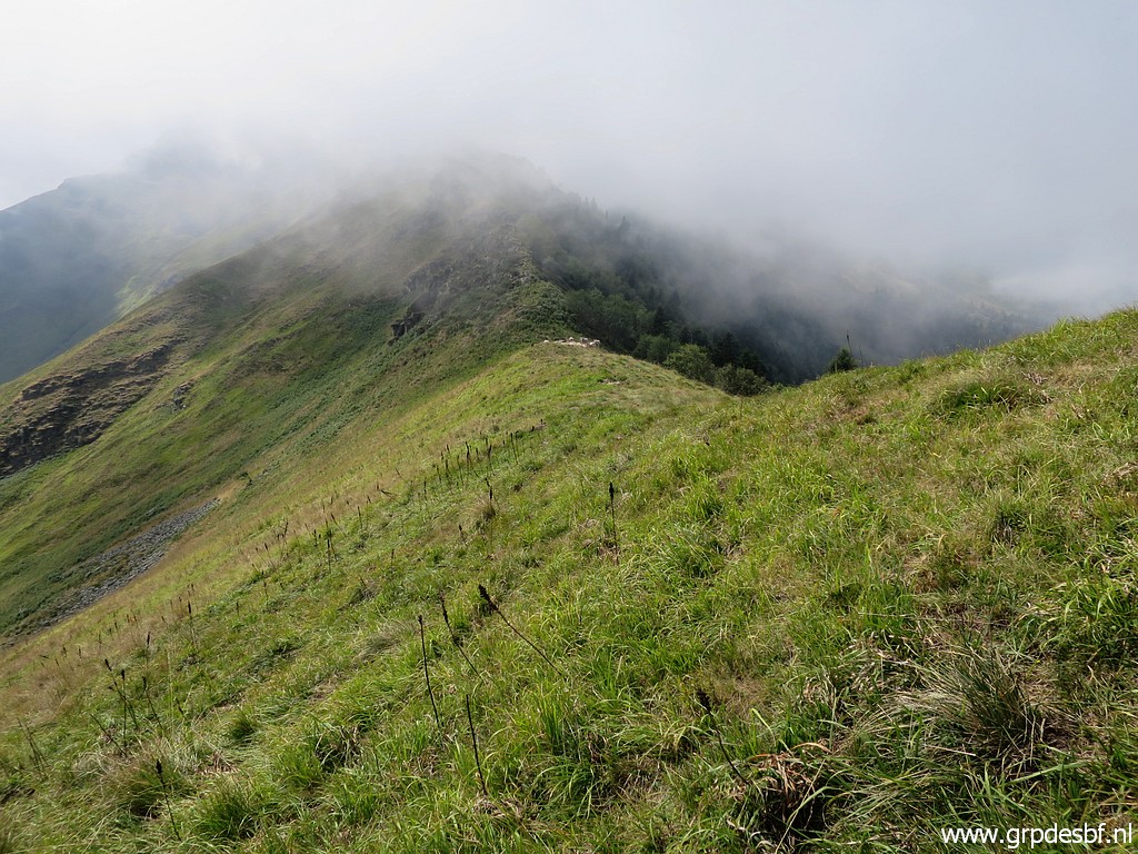 | The ridge gets flatter and the Col de Sacaube comes in sight click photo to enlarge |
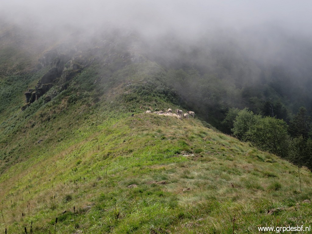 | with a herd of cows peacefully resting. click photo to enlarge |
 | To
circumvent the next rocky part of the ridge, I descend and eventually
take a route more south than needed. I should have sticked more to the
ridge. This picture: looking back. click photo to enlarge |
 | It means that I descend to much and have to climb again towards the ridge click photo to enlarge |
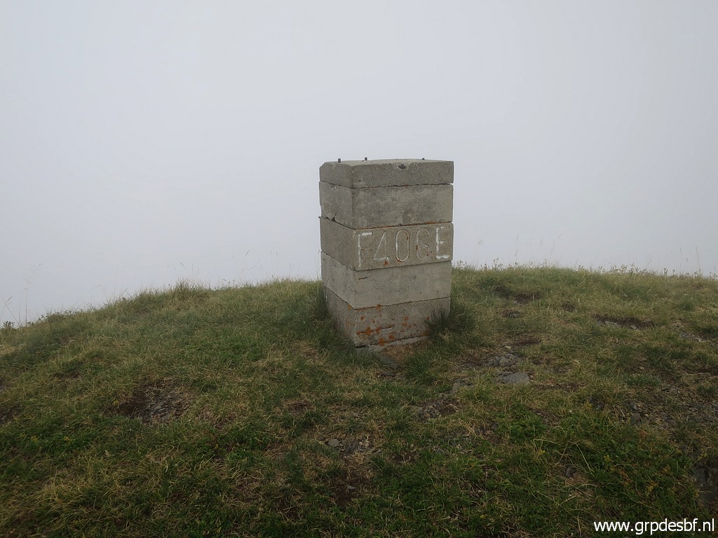 | and to the hilltop with bm406 click photo to enlarge |
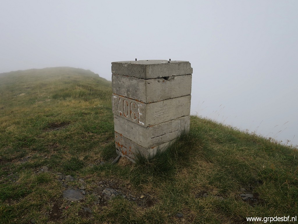 | Bm406 I haven't had a coffeebreak so far (and lost my hartkeks-crackers) but it's already 16:30. I decide to continue. click photo to enlarge |
 | From bm406, I descend along the ridge to the west towards Col d'Esclot d'Aou click photo to enlarge |
 | and joining the GR10. click photo to enlarge |
 | This is a bit further than Col d'Esclot d'Aou and that's where the GR10 descends. It will take me 3,5 hours to descend to the the valley. click photo to enlarge |
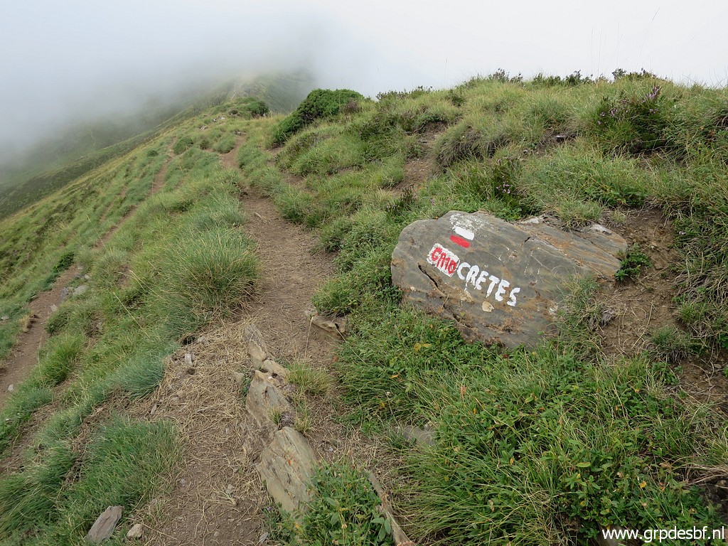
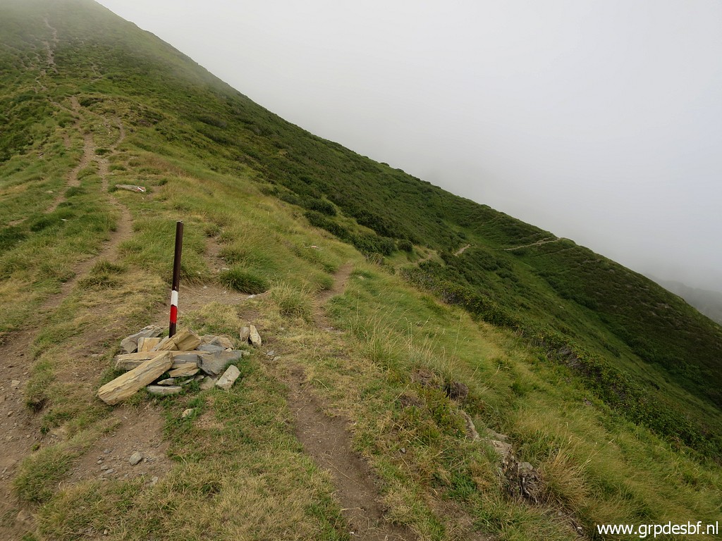
 | Wayfinding gets easy now: just following the GR10-waymarks. click photo to enlarge |
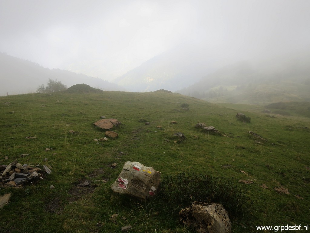 | It has gotten foggy click photo to enlarge |
 | with sometimes better views. click photo to enlarge |
 | This is a view (I think) of Col de Sacaube click photo to enlarge |
 | which seems steeper on this zoom-in than in reality. click photo to enlarge |
 | These are the Cabanes des Courraux, one of them is a hiker's cabin. click photo to enlarge |
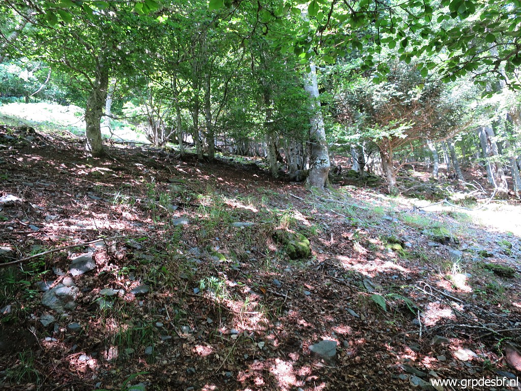
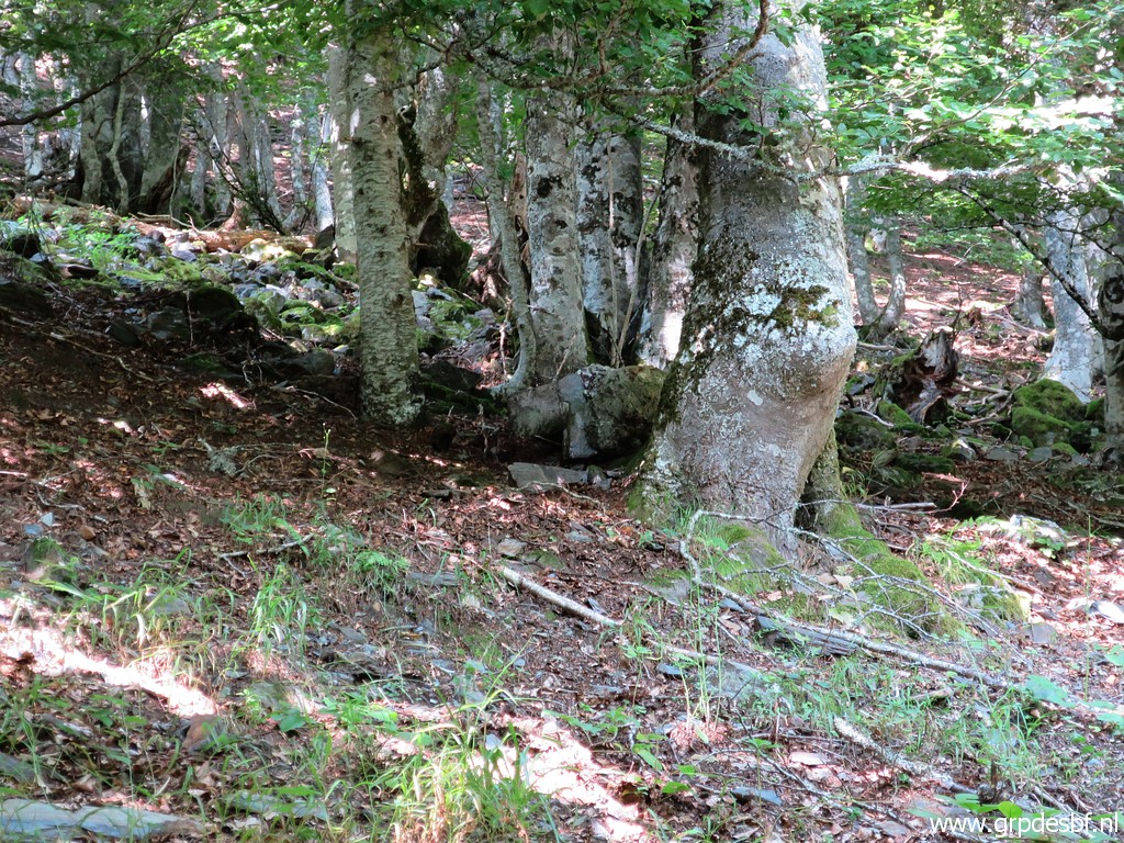
 | I enter the forest click photo to enlarge |
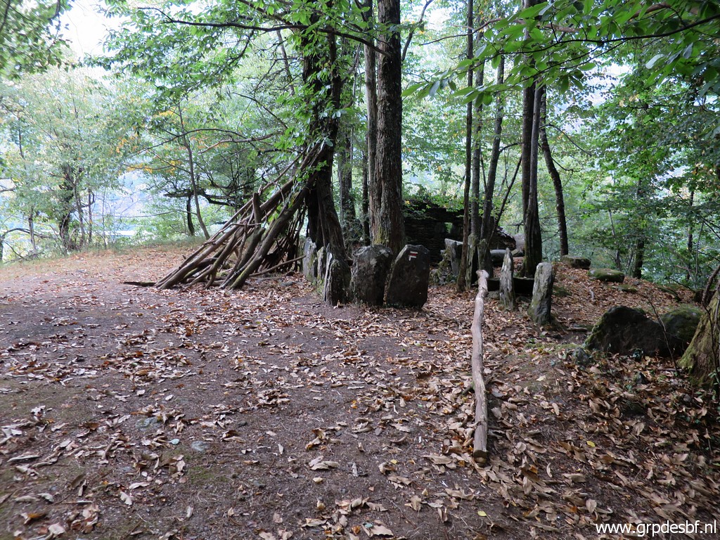
 | and traverse a meadow with cabane d'Artigue click photo to enlarge |
 | with a basic interior. I can't remember seeing a source or stream nearby or any sign pointing to it. So: if this is your planned overnight accomodation, then look out for any source or stream when descending from Col d'Esclot d'Aou. click photo to enlarge |
 | I end up at his gate click photo to enlarge |
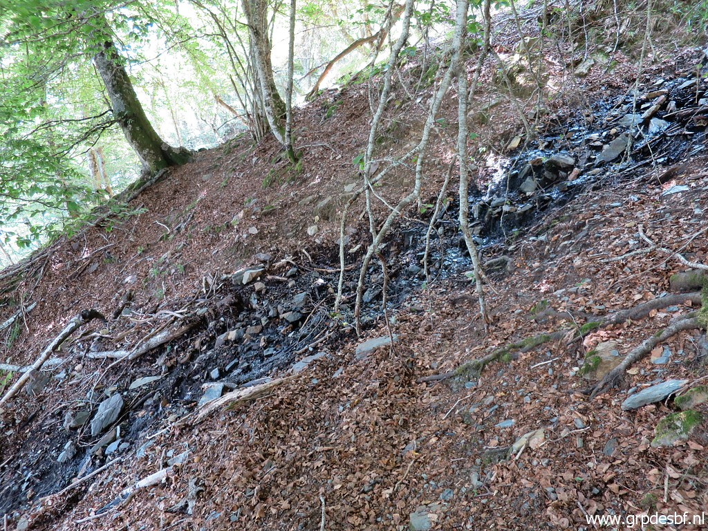
 | and will arrive at this mountain road. Soon I will be surprised: the GR10 takes another route than years before. Instead of a direct and steep descent along the ruisseau de Palarquère to the bottom, click photo to enlarge |
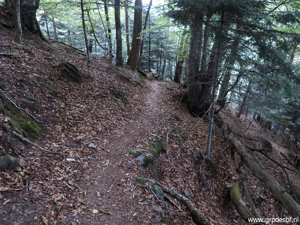 | it descends east of the ruisseau in countless and effortless lacelets down a beautiful beech-forest hillside click photo to enlarge |
 | with in the lower part remnants of walls click photo to enlarge |
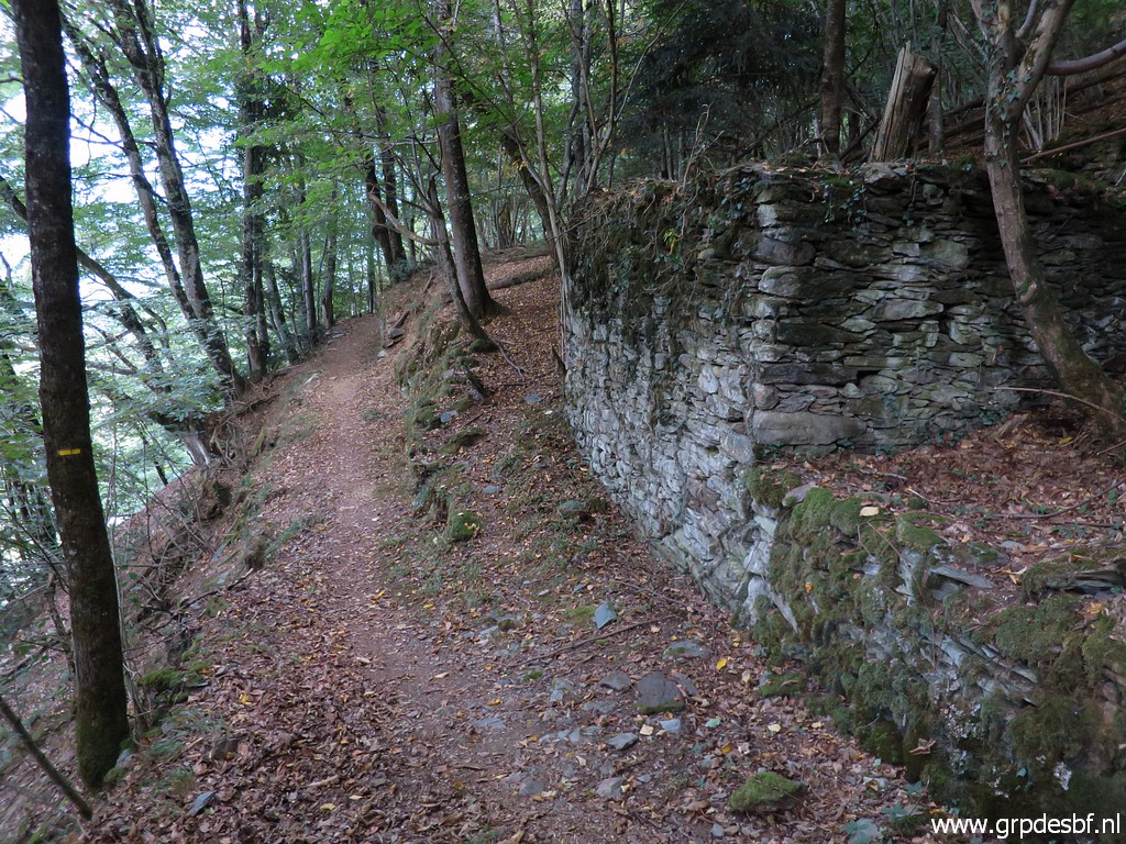 | and barns. click photo to enlarge |
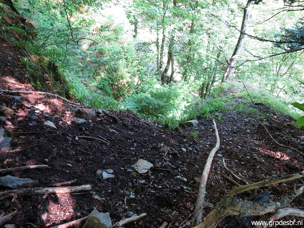
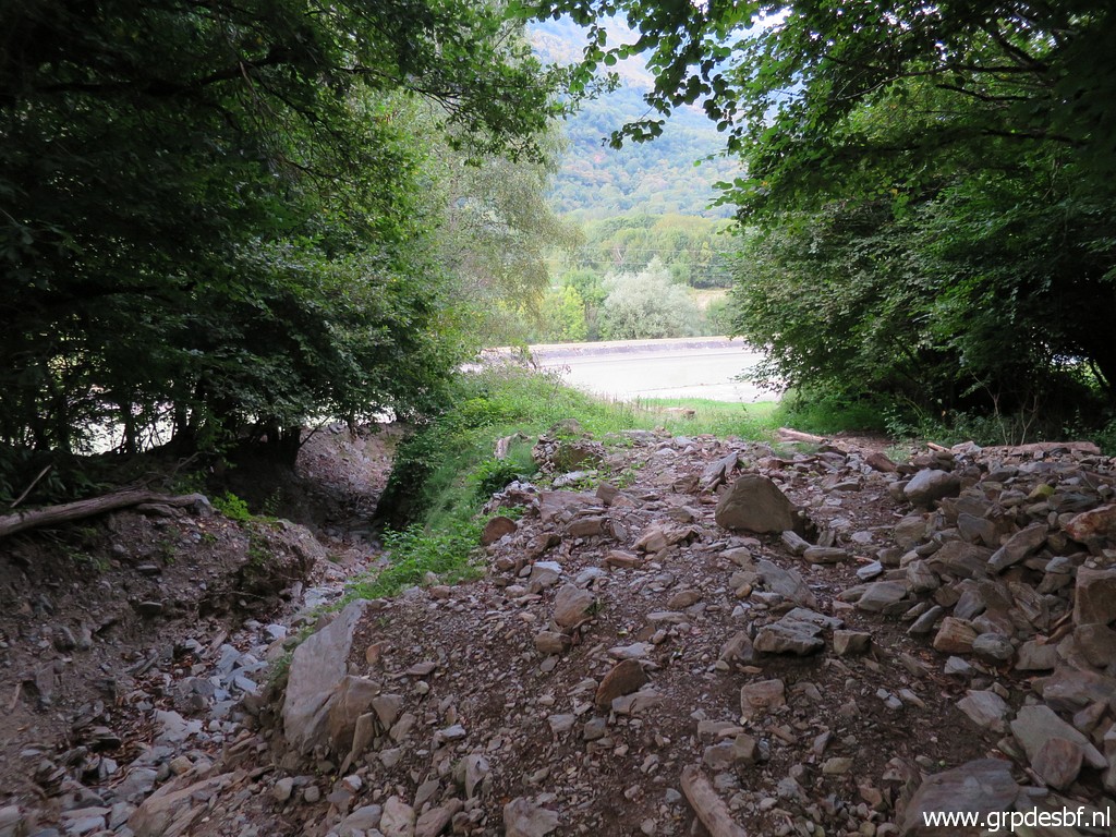 | Finally I arrive at the bottom of the valley, click photo to enlarge |
 | the trail ending here it seems. But I missed a sidetrack a little before click photo to enlarge |
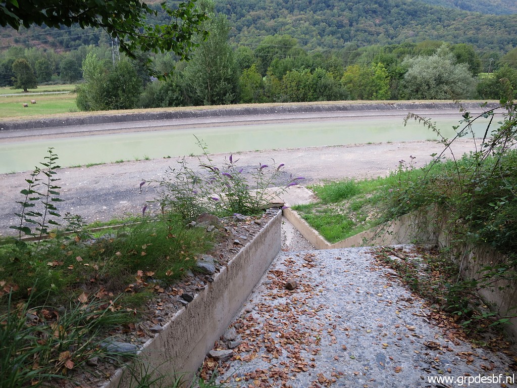
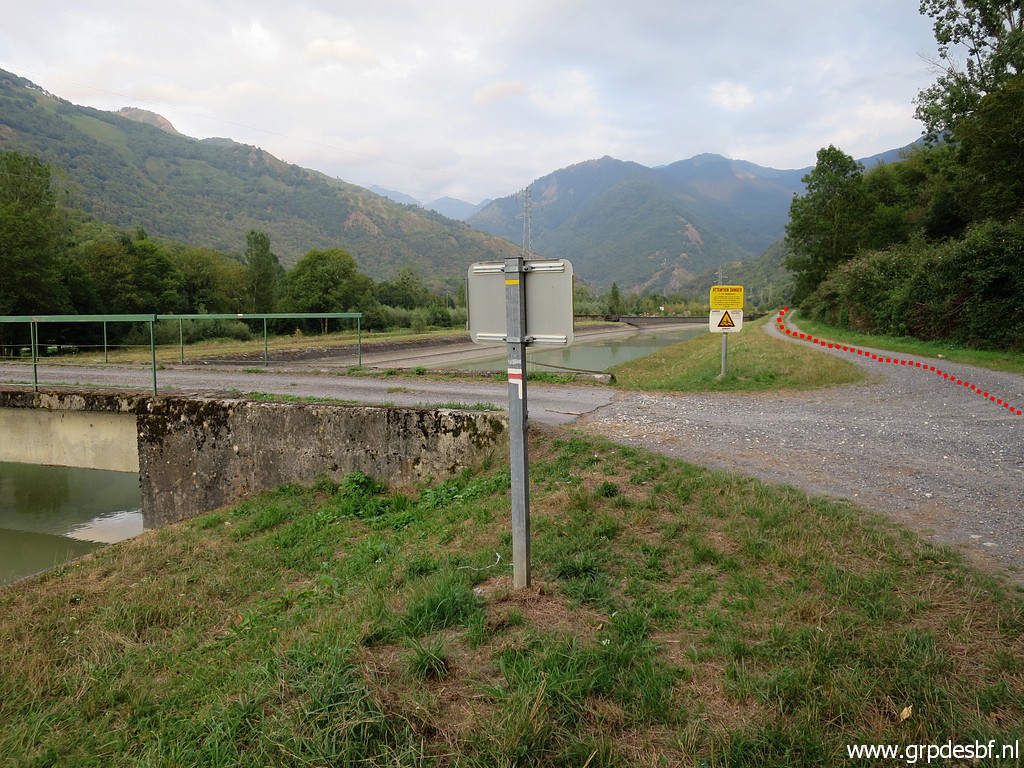
 | which brings you more gentlyto the road, a bit south of the concrete gully click photo to enlarge |
 | and well at his point. click photo to enlarge |
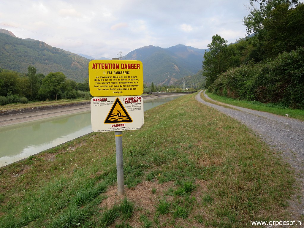
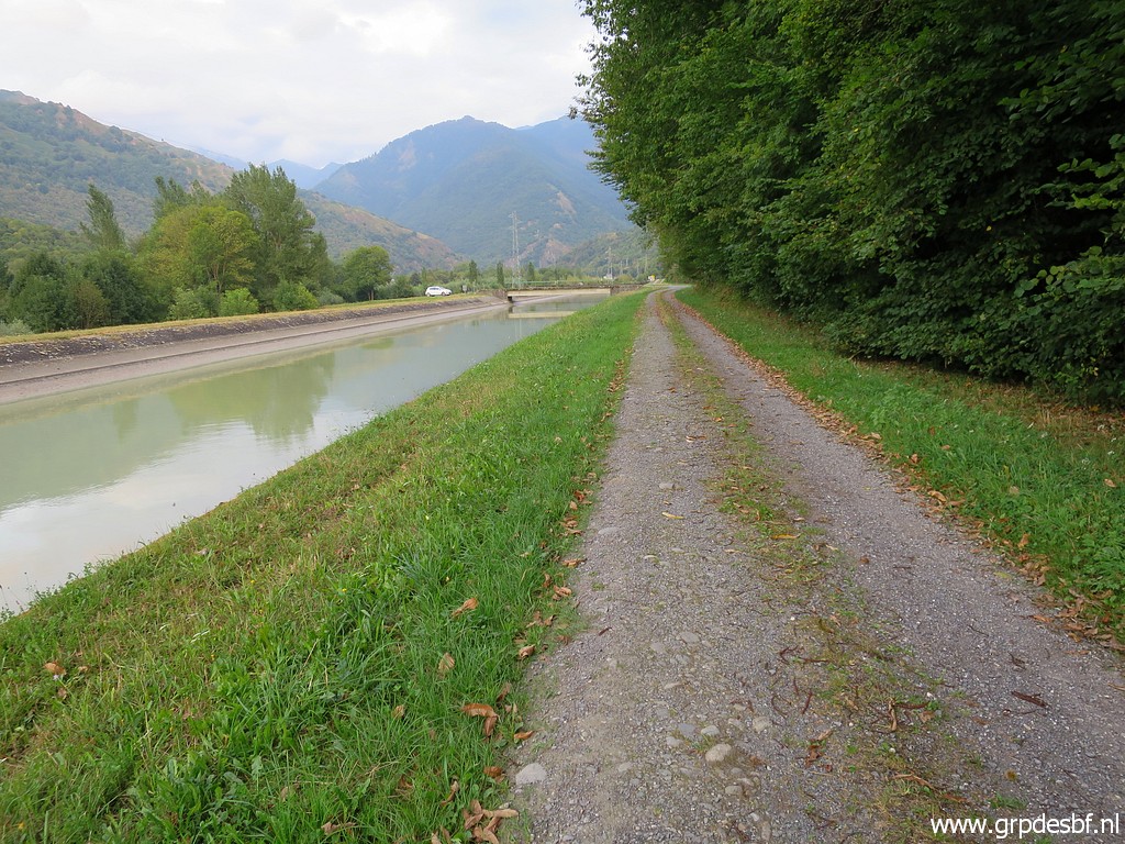 | The last part is even more easy: along the canal, click photo to enlarge |
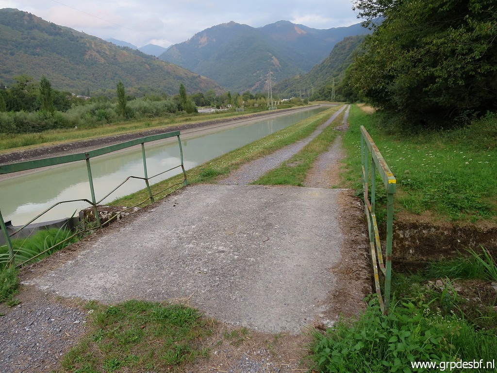
 | going straight along where the GR10 turns left (to the village of Fos). That straight continuation is also the main route of the GRPdesBF. click photo to enlarge |
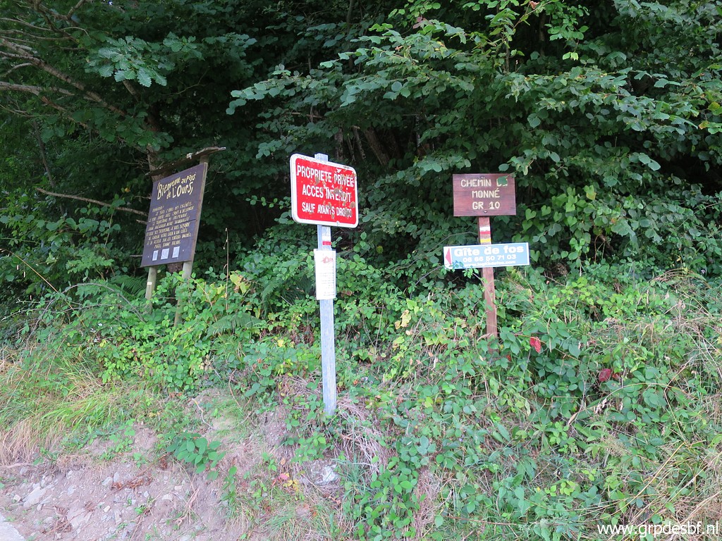
 | I spot yellow waymarks here click photo to enlarge |
 | and there which means that this road is not forbidden for walkers. click photo to enlarge |
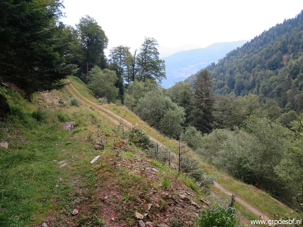
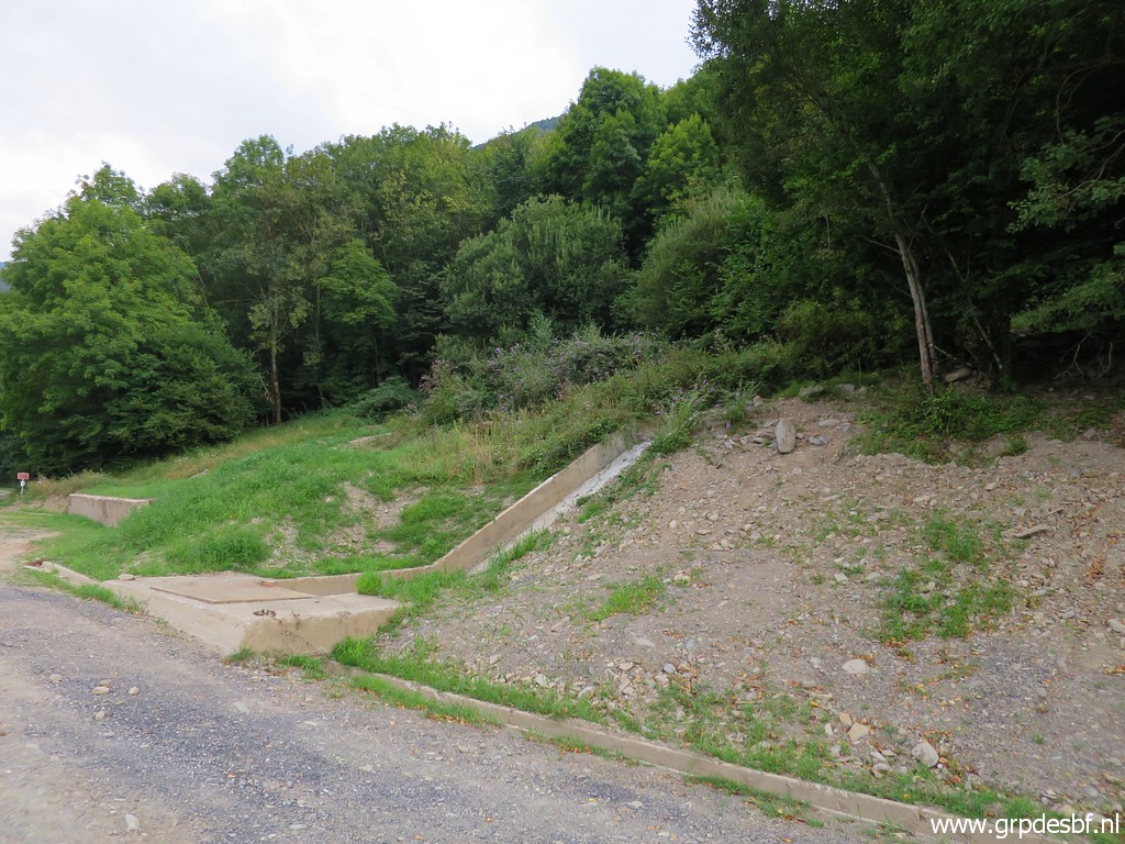
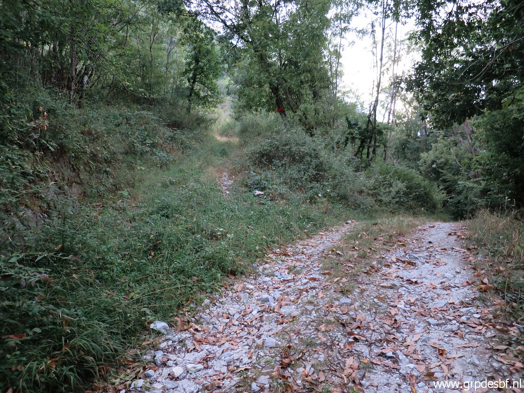
 | At the end of the canal, continue along the dirtroad click photo to enlarge |
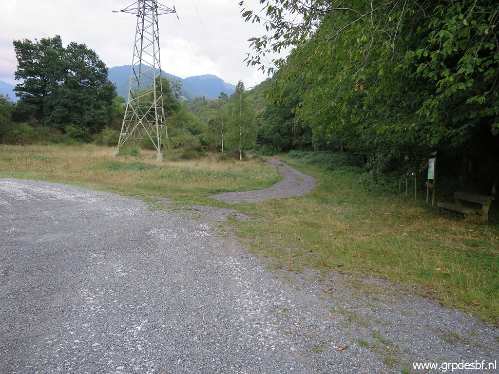
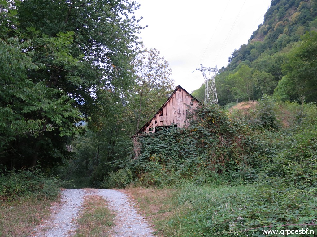 | passing along an old barn and behind it the high voltage line from the very first photo of today. click photo to enlarge |
 | Beyond the barn is where the trail starts to Cabane des Réchets. At this point the alternative route along bm406-408IV will join again with the main route of the GRPdesBF. click photo to enlarge |
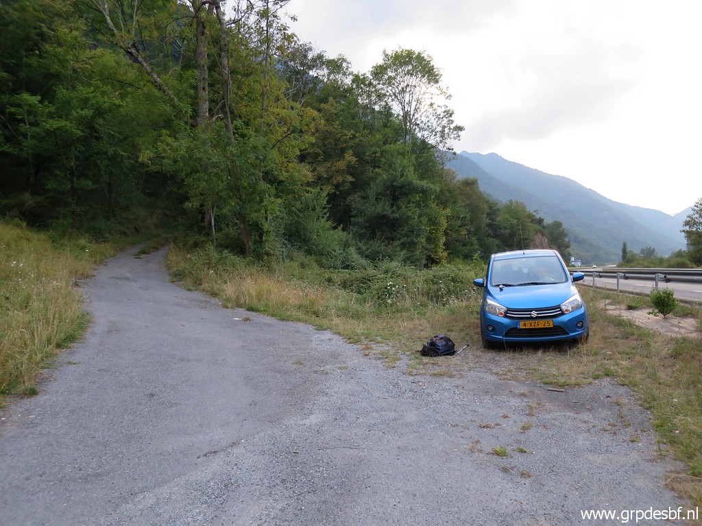 | Back at my car and 21:00 at the camping. It has been 12 hours of walking and I'm tired and content. Although having entered my sixties, I can still manage such intensive and long hikes. But it seems that I'm getting more scared at steep and risky parts. Tomorrow will be a resting day. click photo to enlarge |