|
The
bordermarkers of the Pyrenees : all my trips
 |
|
| -
monday 14 september
2020 - Backpacking along 272-279 -> day 2: doing 275-279 |
 |
 |
Summary:
part of a series of 6 daytrips and 1 multiday trip in september 2020 in
the Pyrénées Atlantiques. This is trip 7 - day 3 Today: from Lac de la Chourique continuing along the border until Refuge d'Arlet. After pictching my tent there, I make a 4h roundtrip to cover bm278 & 279. Weather: splendid |
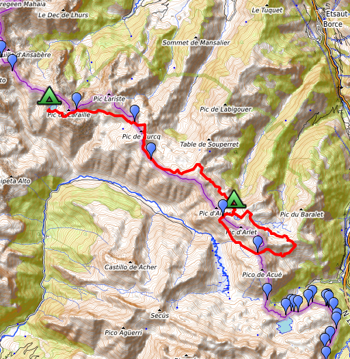
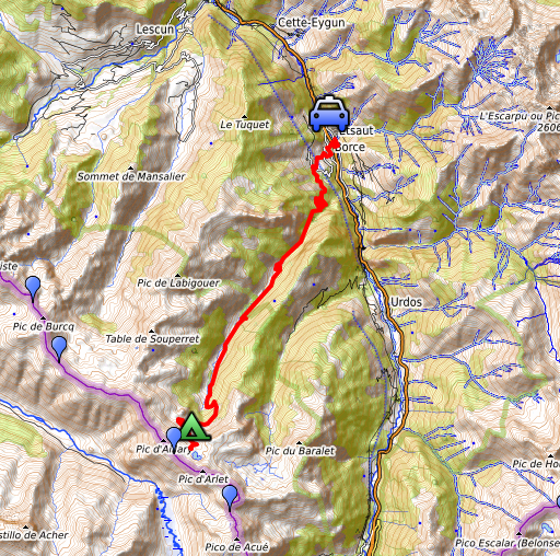
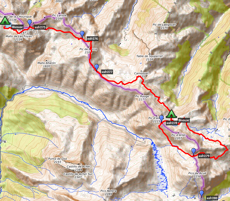 track-20200914.kml
(click to open this trip in Google Earth or copy link to Google Maps; click right on this link to download gpx-version). The gps-track has not been manually corrected which explains the inaccuracy and misalignment at some points. For cartographic backgrounds: see the cartography-page Gps-waypoints of all bordermarkers (most recent version): kml: esfr-bordermarkers-all-waypoints.kml gpx: esfr-bordermarkers-all-waypoints.gpx (with elevation added by gpsvisualizer.com) |
|
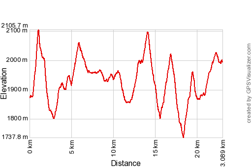 |
According to Garmin
Basecamp (uncorrected track): Distance: 23,1 km Max-height: 2093m Min-height:1743 m Elevation: +1519m -1401m Total elevation: 2920m Start 9:01 Finish 19:58 Total time: 10:58 |
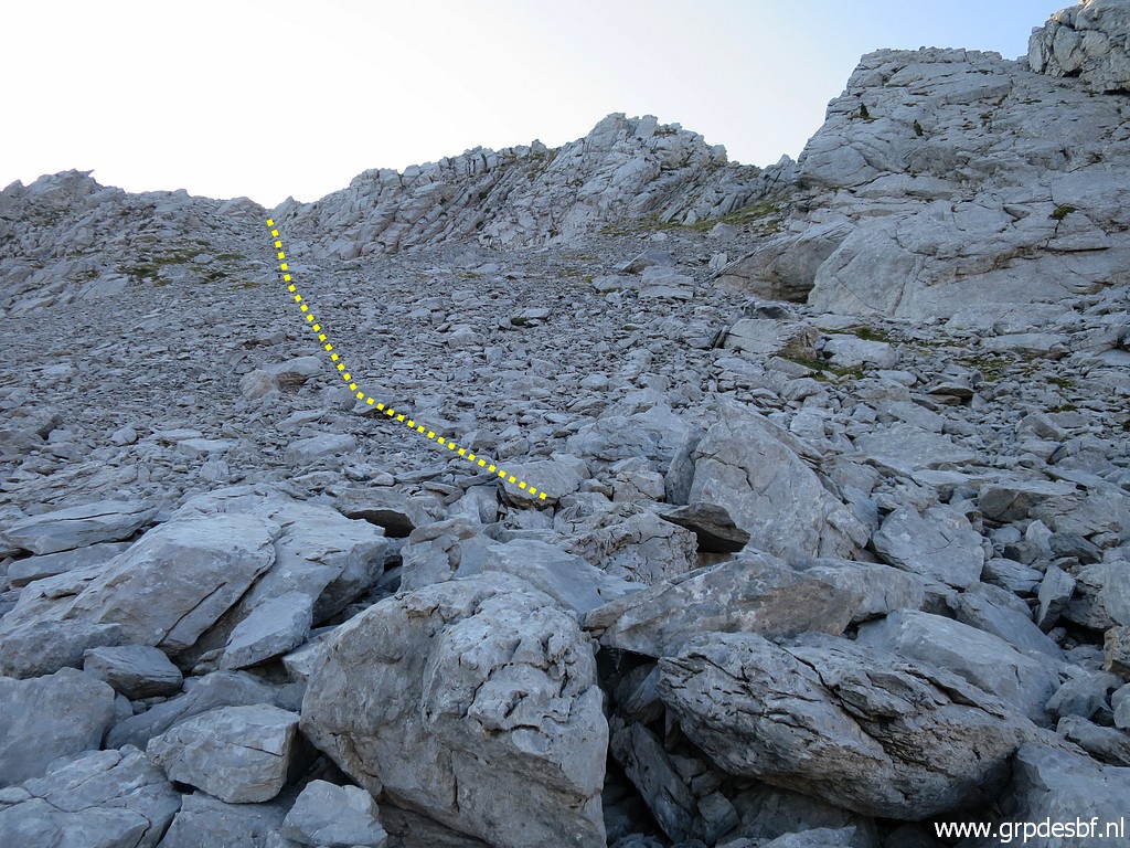
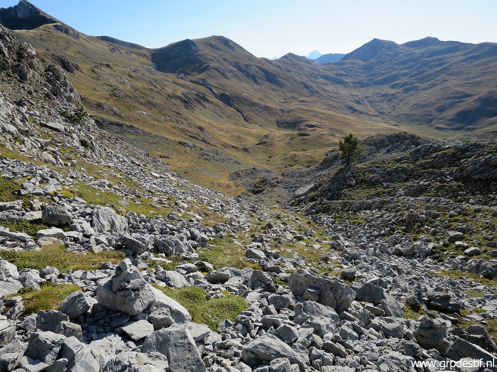
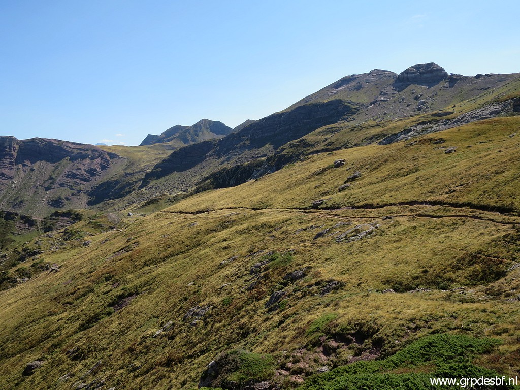
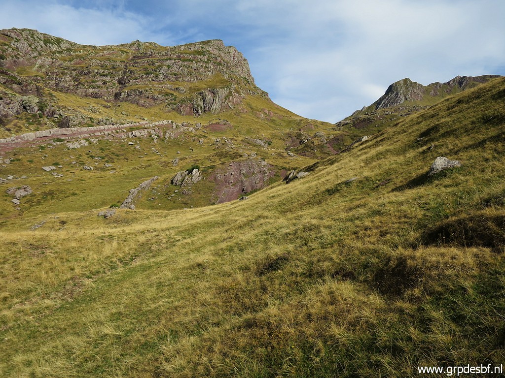
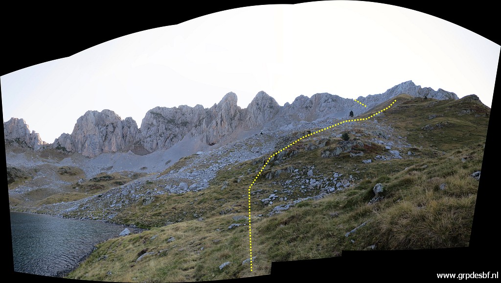 | After a good night's sleep on the soft grass underground, I start at 9h. From the Lac de la Chourique (or Ibon Acherito in Spanish), this is the route ahead to the ridge. (click photo to enlarge) |
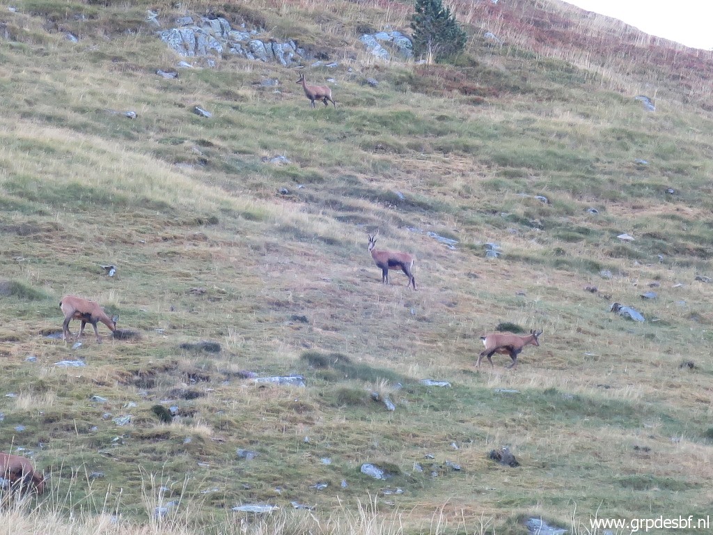 | Spotting chamois. (click photo to enlarge) |
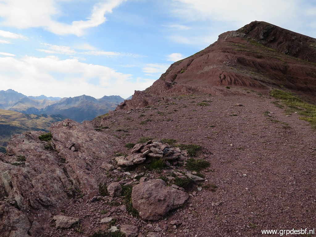
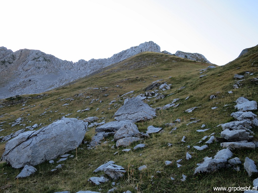 | Halfway up, cairns appear. (click photo to enlarge) |
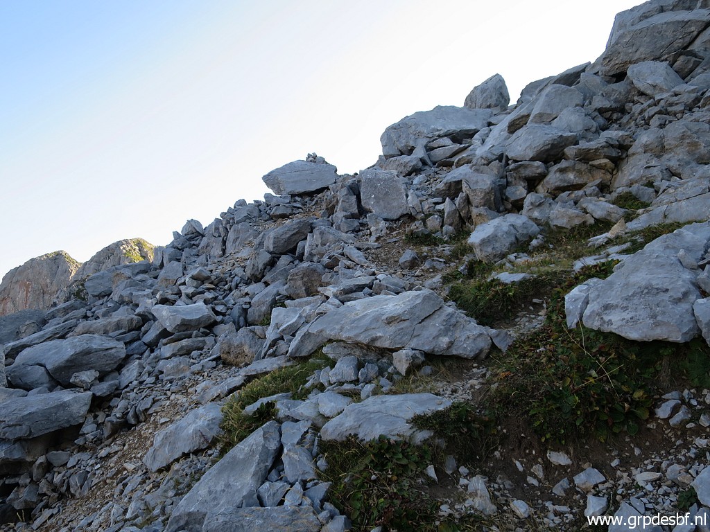
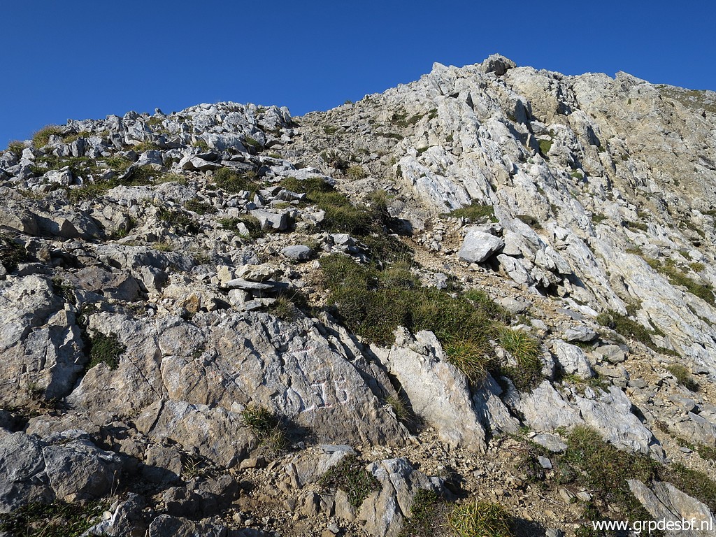
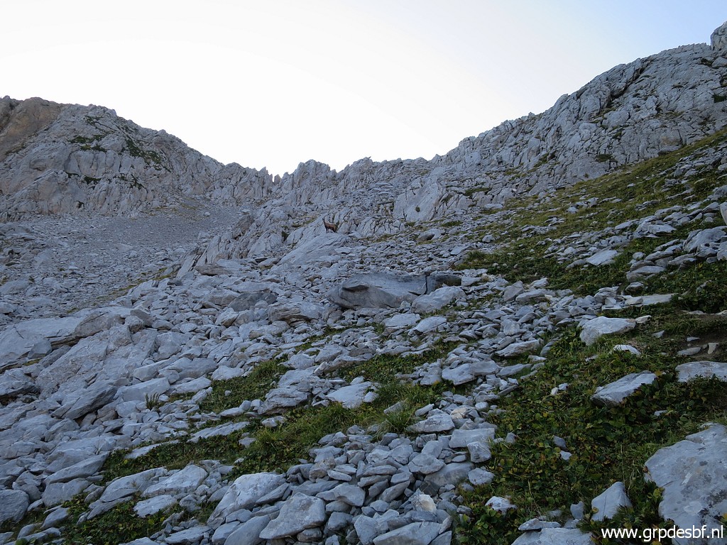 | Towards the ridge, it gets more rocky. The route is well waymarked with cairns. (click photo to enlarge) |
 | A last chamois observing me. (click photo to enlarge) |
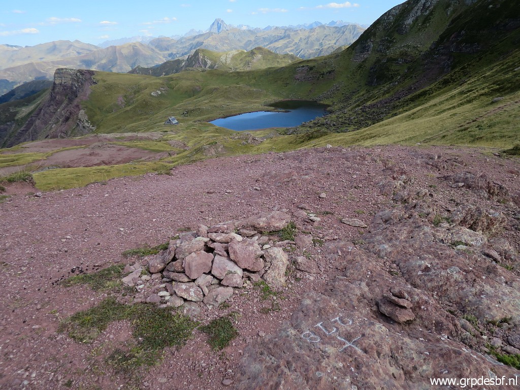
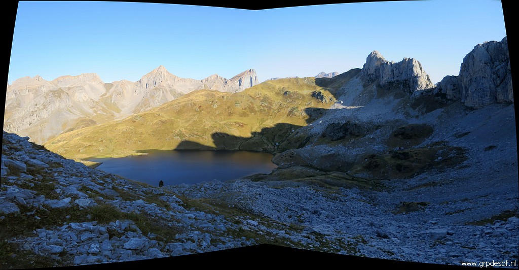 | A last view back to the Lac de la Chourique. (click photo to enlarge) |
 | This is approximately the waymarked route to the ridge. There seems a more convenient 'pass' to the right: (click photo to enlarge) |
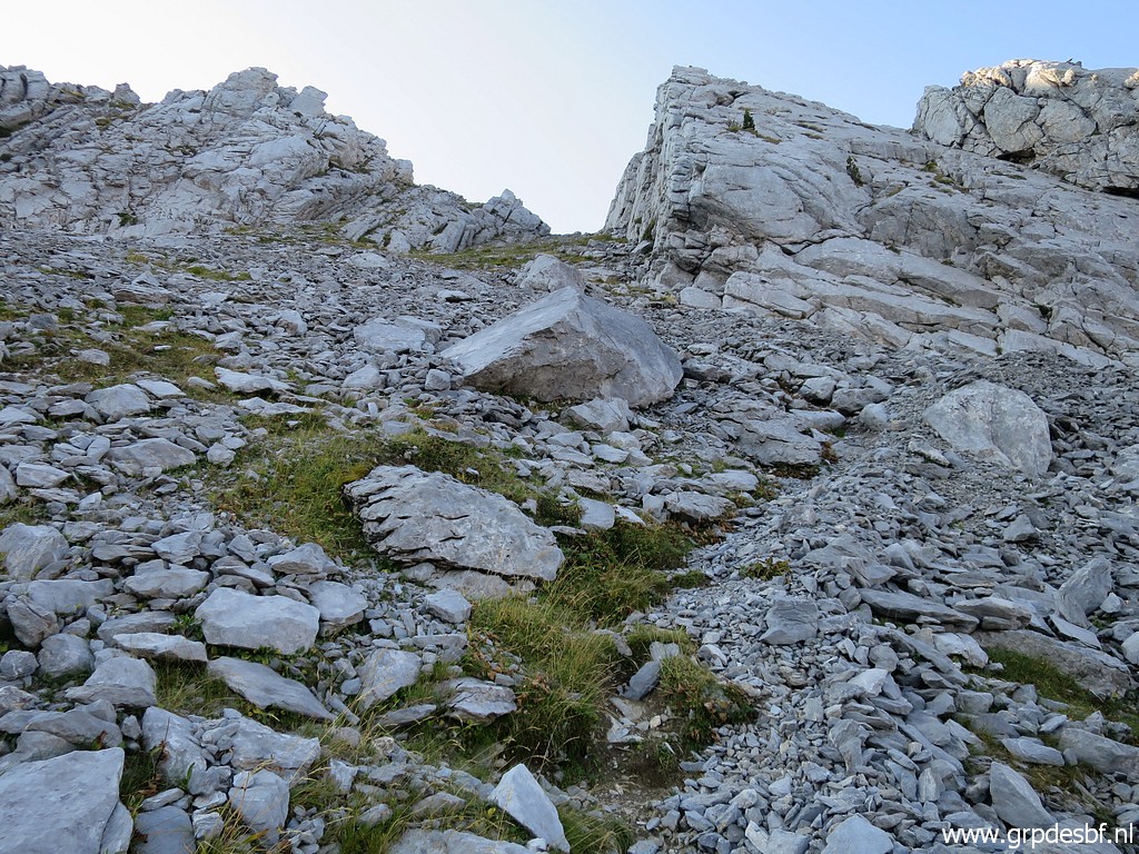 | this one, but the cairns take me (click photo to enlarge) |
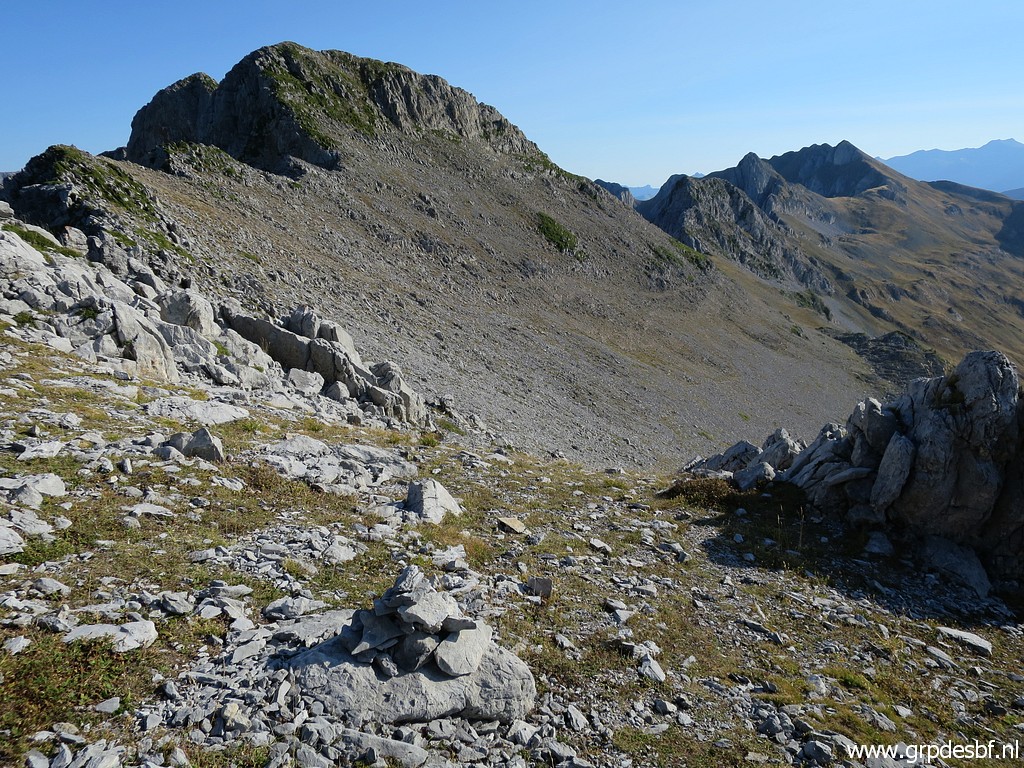
 | to this part of the ridge. (click photo to enlarge) |
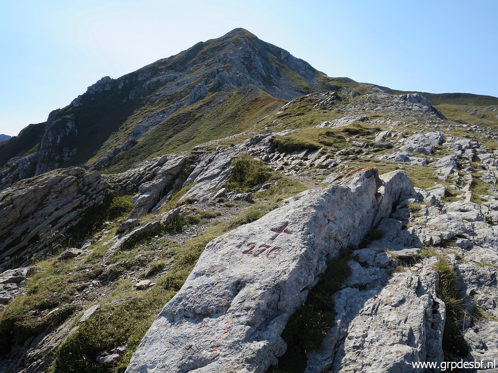
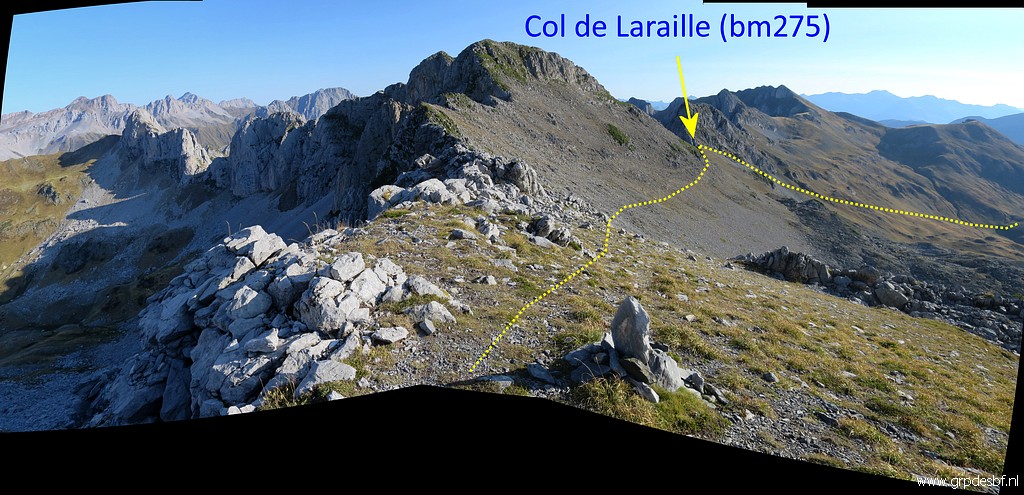 | At the ridge with this splendid view of the sunbathed mountainside and the route to bm275 (click photo to enlarge) |
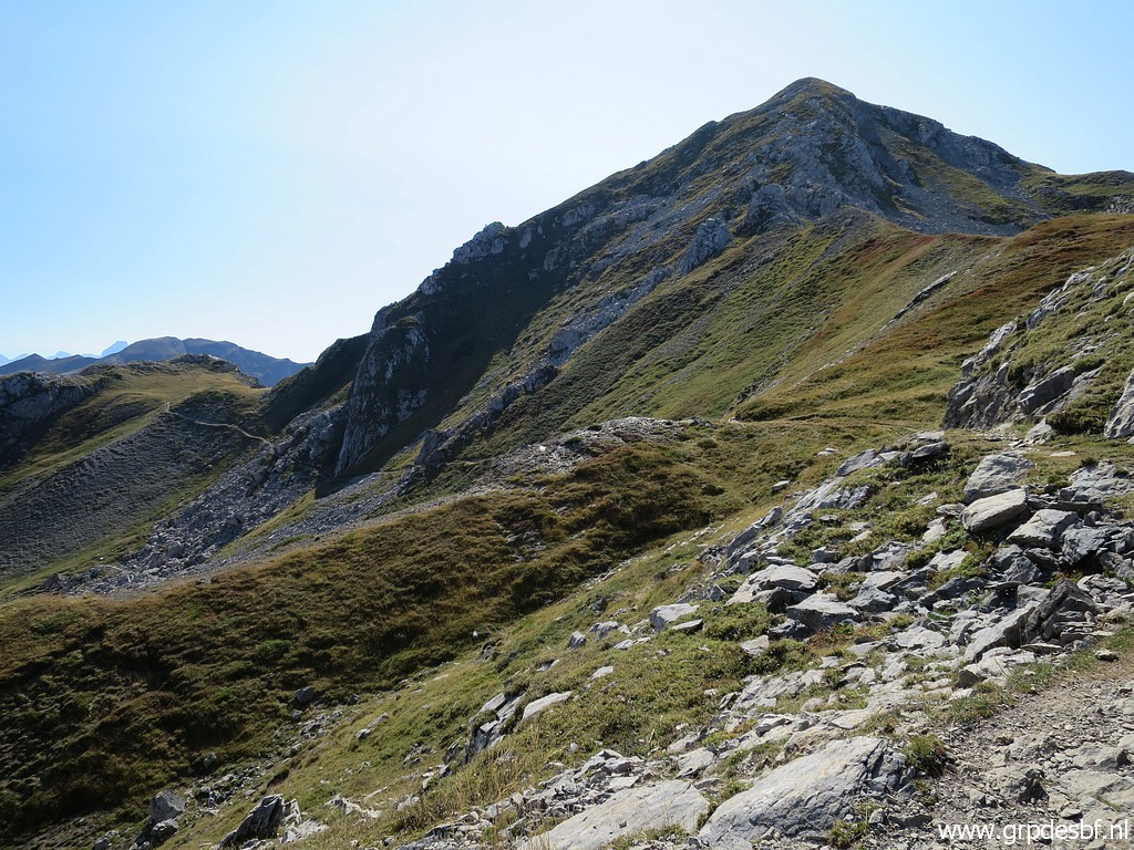
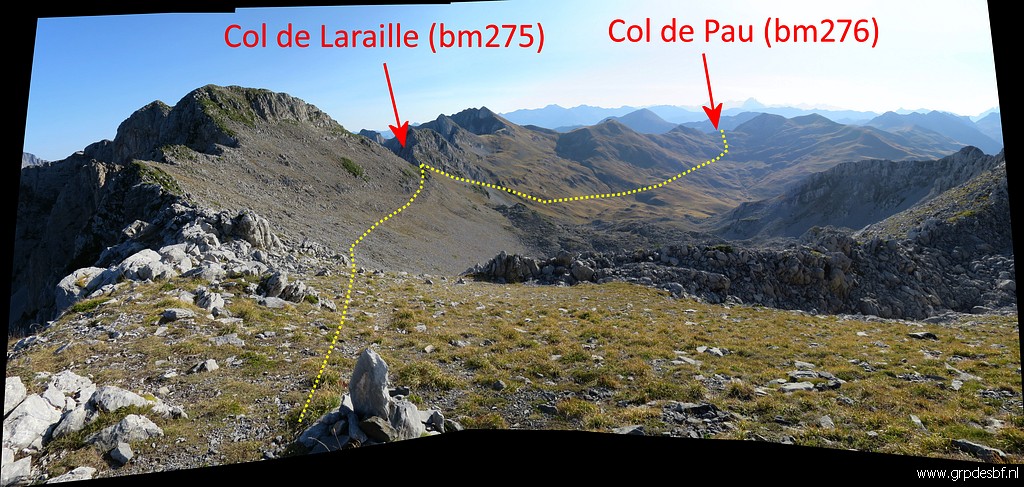 | and to bm276. (click photo to enlarge) |
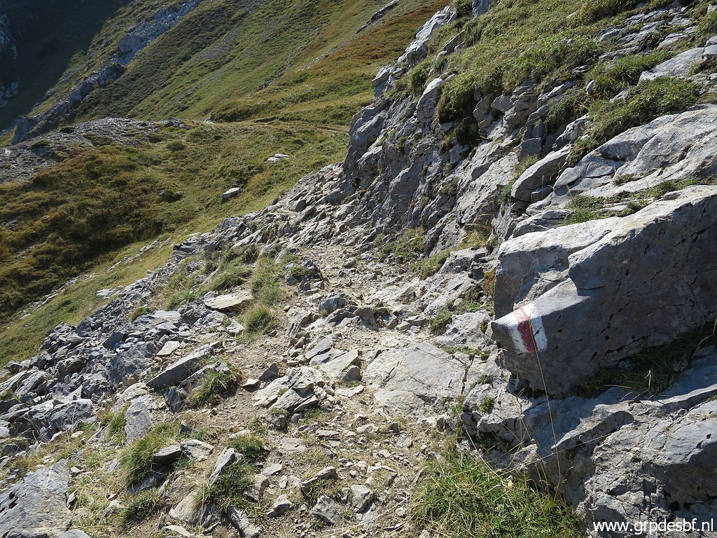
 | Cairns continue to (click photo to enlarge) |
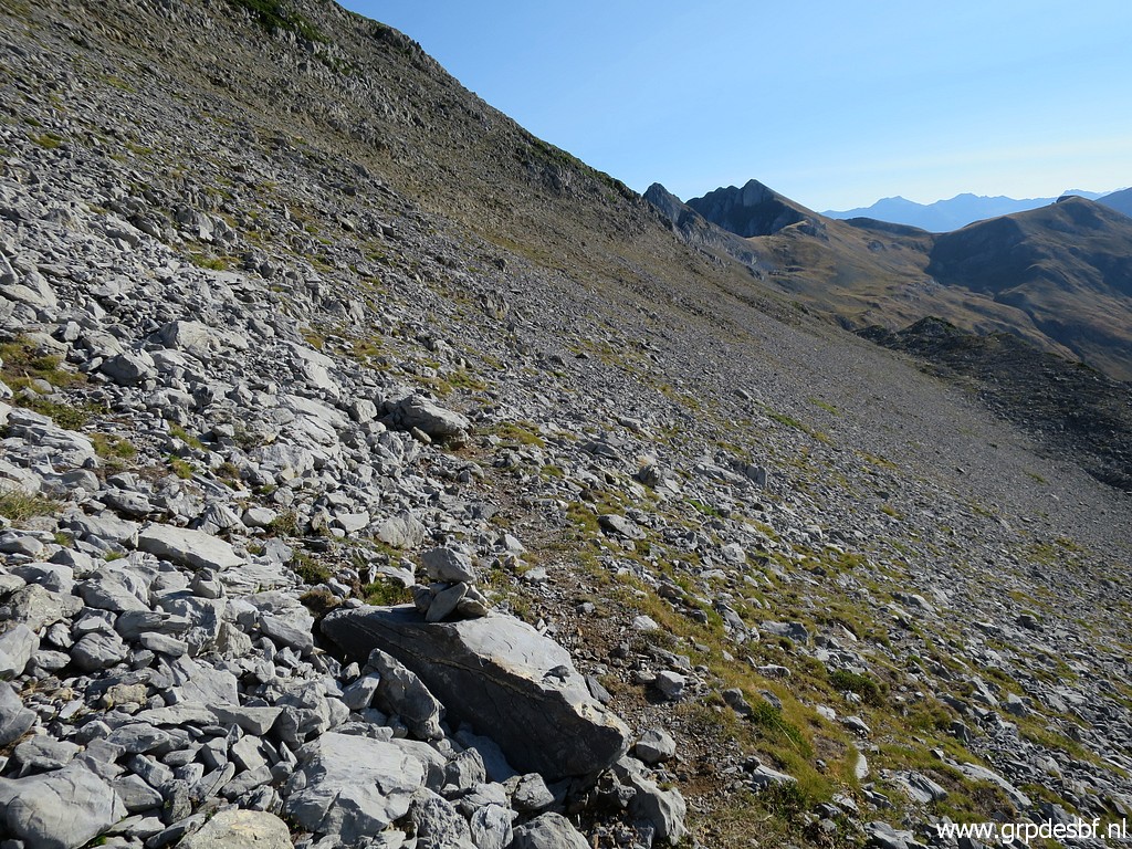 | lead me along the mountainside (click photo to enlarge) |
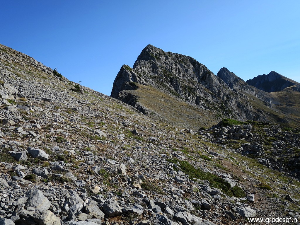 | easily to Col de Laraille. (click photo to enlarge) |
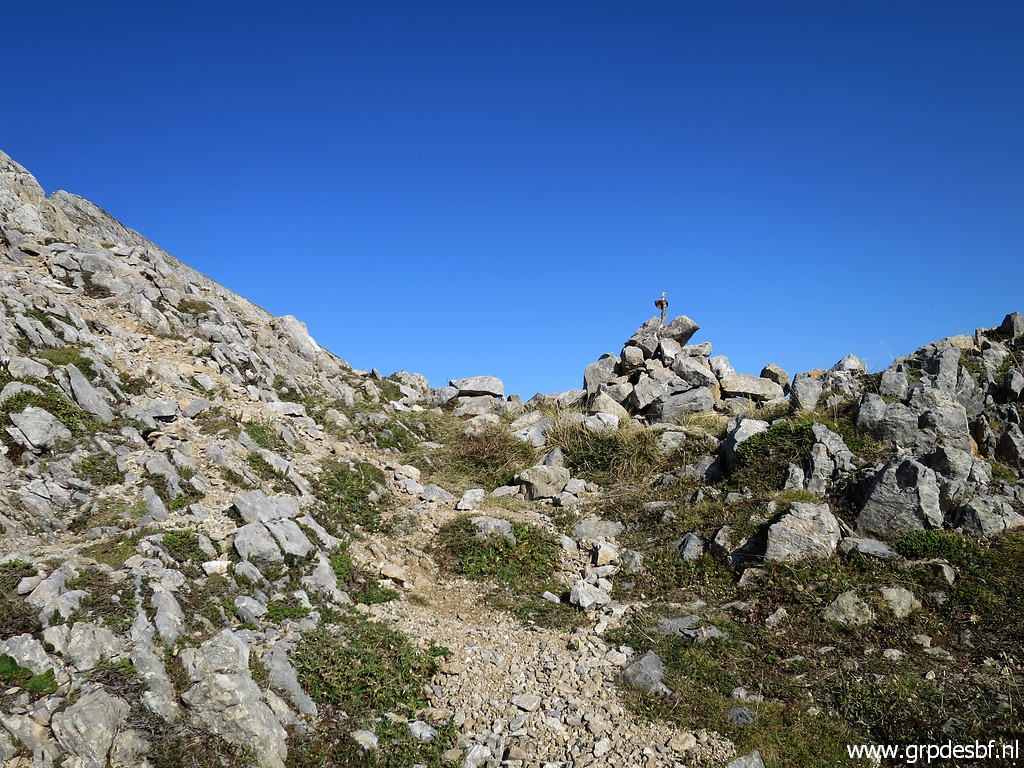 | Almost there. (click photo to enlarge) |
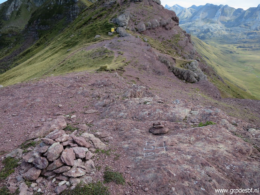
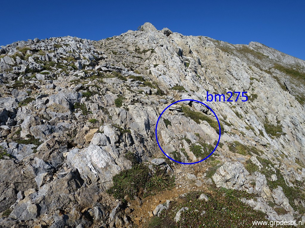 | Bm275 is hardly noticeable on (click photo to enlarge) |
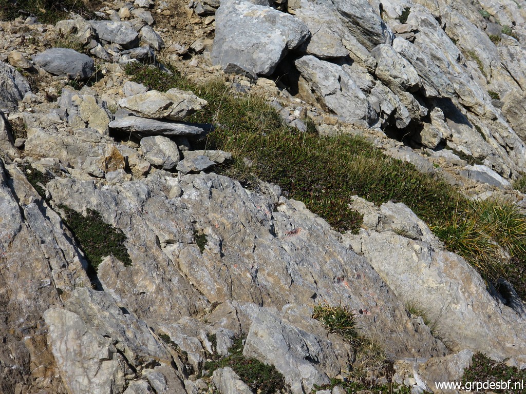 | the rocks. (click photo to enlarge) |
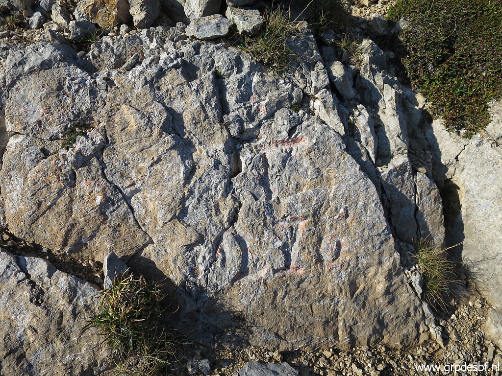 | Bm275, better to see with some chalking. (click photo to enlarge) |
 | Bm275 (click photo to enlarge) |
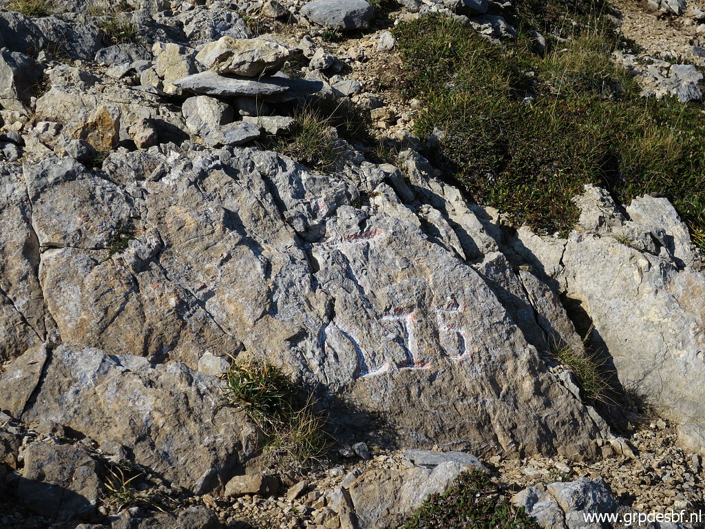 | Bm275 (click photo to enlarge) |
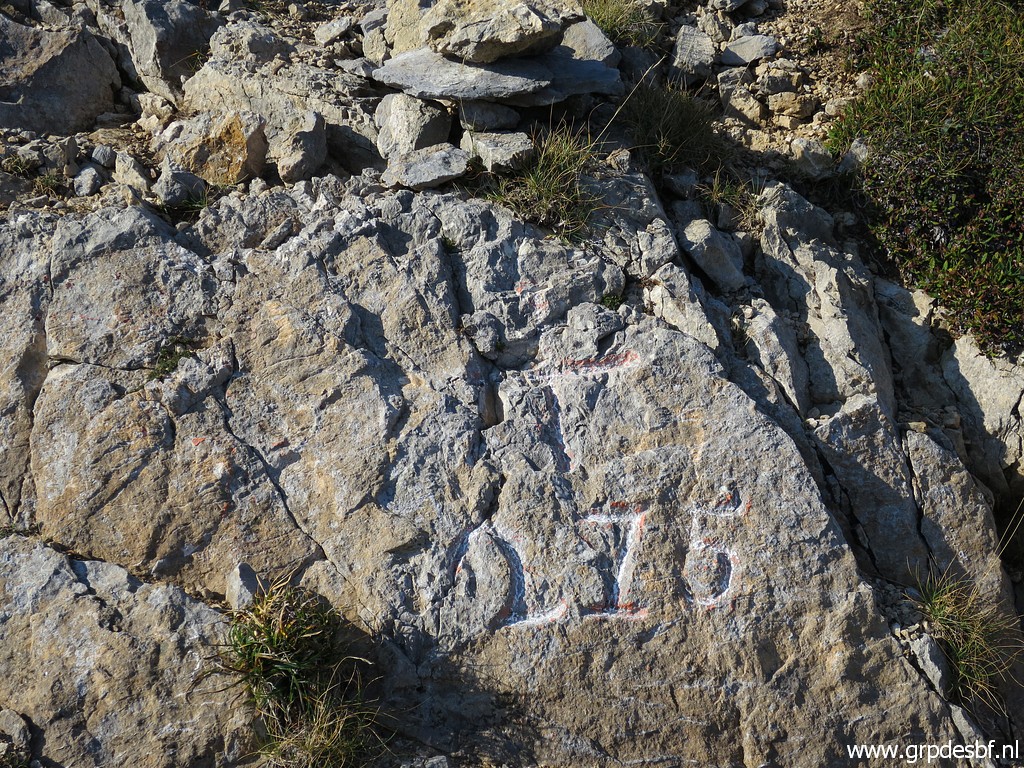 | Bm275 (click photo to enlarge) |
 | Bm275, looking towards Col de Pau. (click photo to enlarge) |
 | Bm275, looking into France. (click photo to enlarge) |
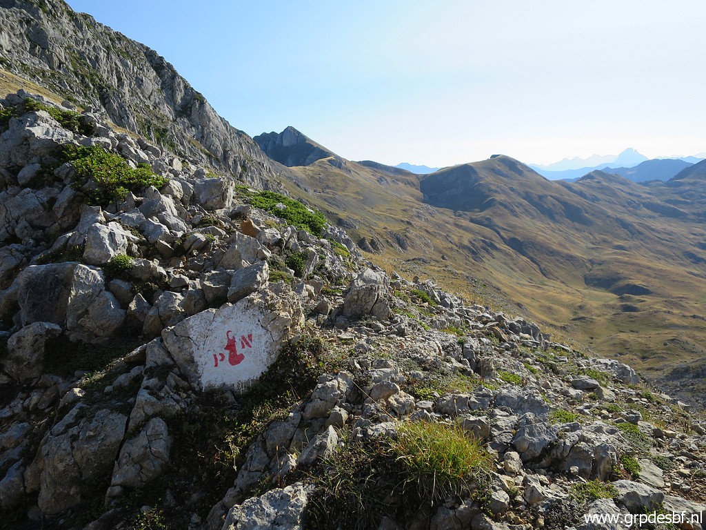 | These painted markers show the border of the Parc National des Pyrénées. (click photo to enlarge) |
 | Then descending and (click photo to enlarge) |
 | continuing along the hillside (and not descending to the bottom of the valley) (click photo to enlarge) |
 | on cattle tracks when available. This picture: getting closer to Col de Pau (click photo to enlarge) |
 | and later on joining a red-white GR-trail. (click photo to enlarge) |
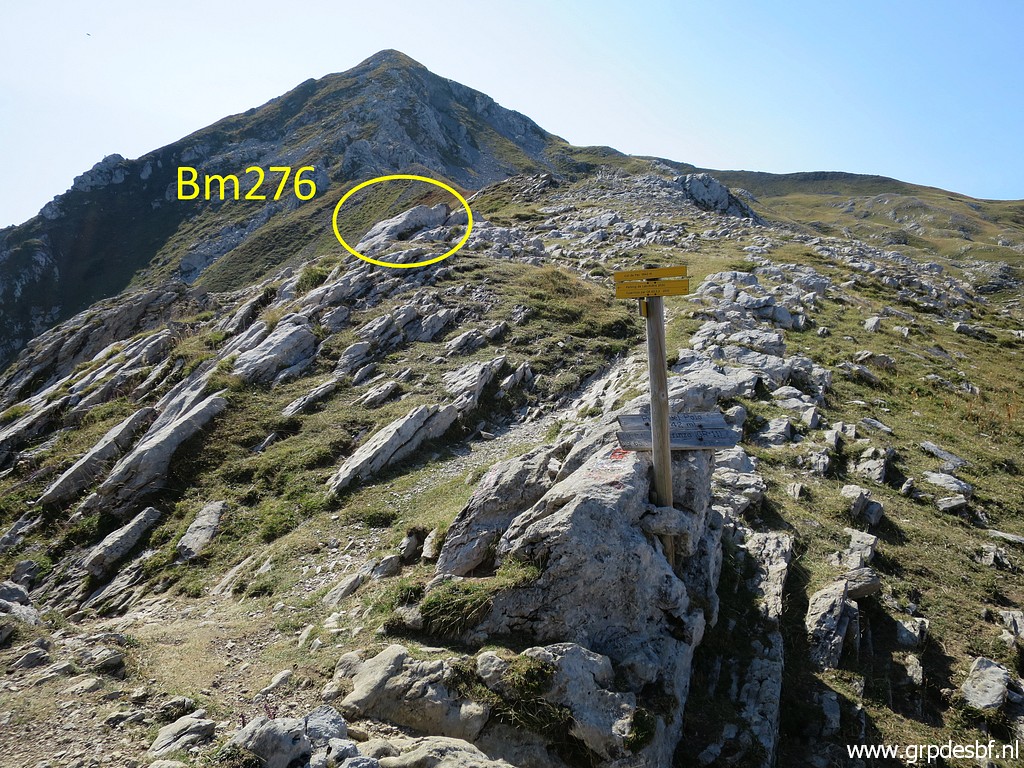 | At Col de Pau, bm276 is about 15m to the S from the actual pass. (click photo to enlarge) |
 | Zoomin to bm276 (click photo to enlarge) |
 | Waymarks. (click photo to enlarge) |
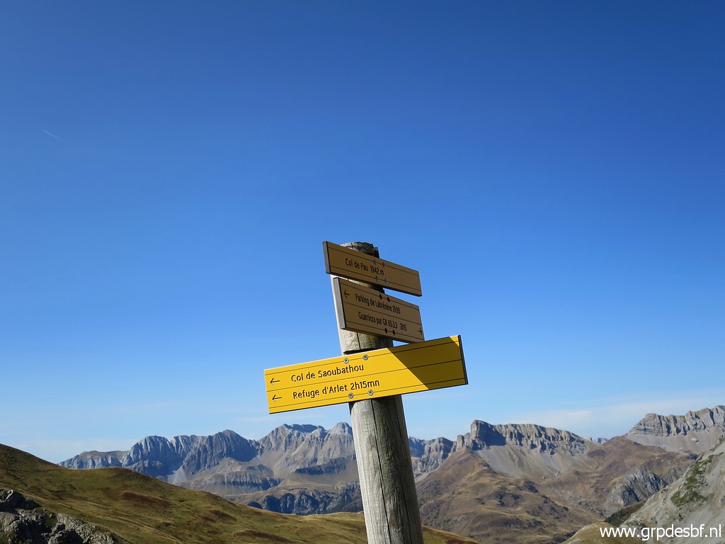 | Refuge d'Arlet is at 2:15h walking. (click photo to enlarge) |
 | Bm276 (click photo to enlarge) |
 | Bm276 (click photo to enlarge) |
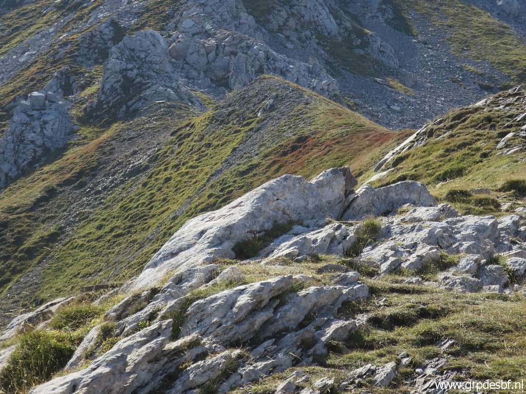
 | Bm276, looking back to the actual pass. (click photo to enlarge) |
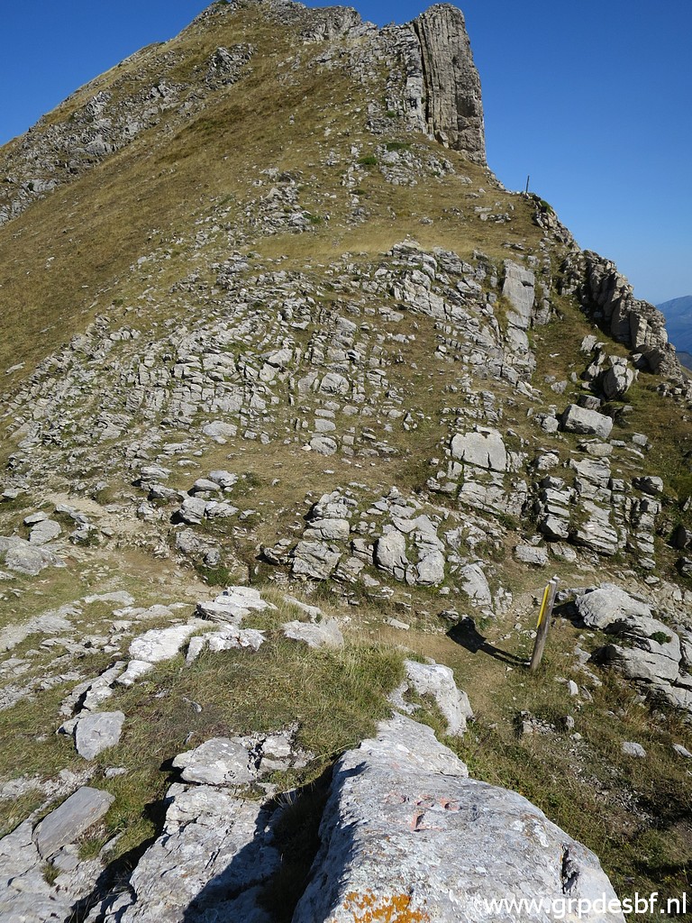
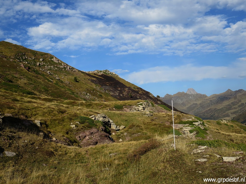
 | Then further along the borderridge. The Pic ahead involves some climbing at first. (click photo to enlarge) |
 | Waymarks not seen before: white-red-white. (click photo to enlarge) |
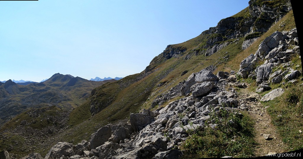 | After the climbing (click photo to enlarge) |
 | the trail gets more horizontal. Col de la Cuarde comes in sight. (click photo to enlarge) |
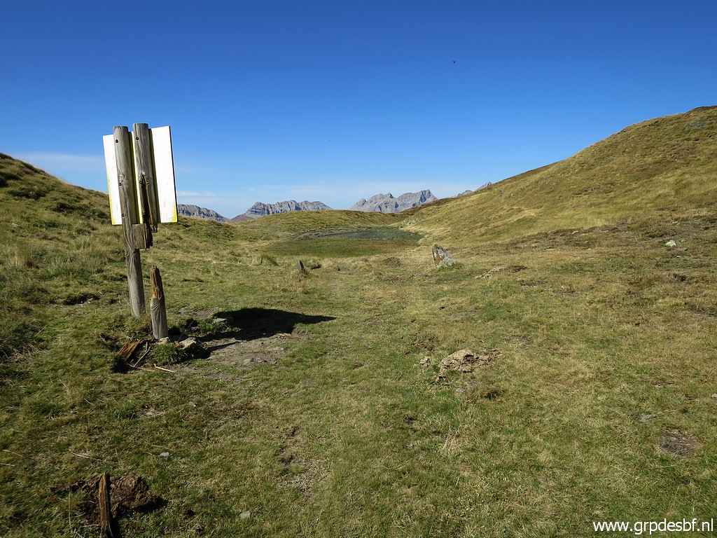
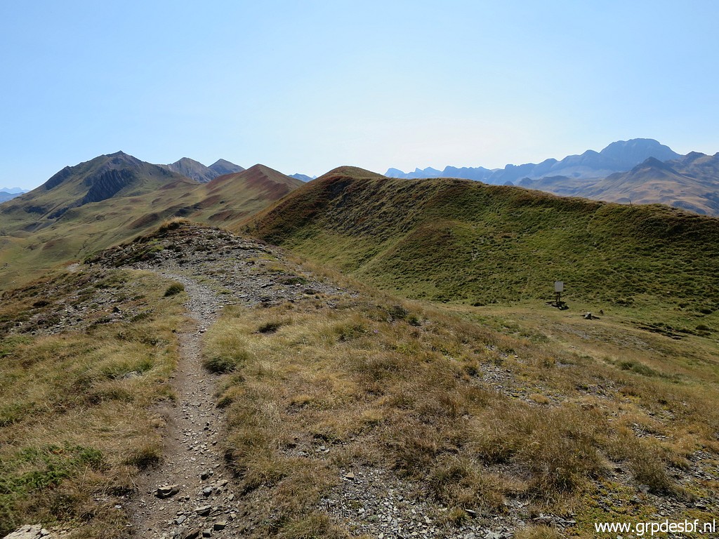 | It is a pleasure to walk on this trail in this marvellous weather. This picture: in the valley to the right, you can spot a signboard. (click photo to enlarge) |
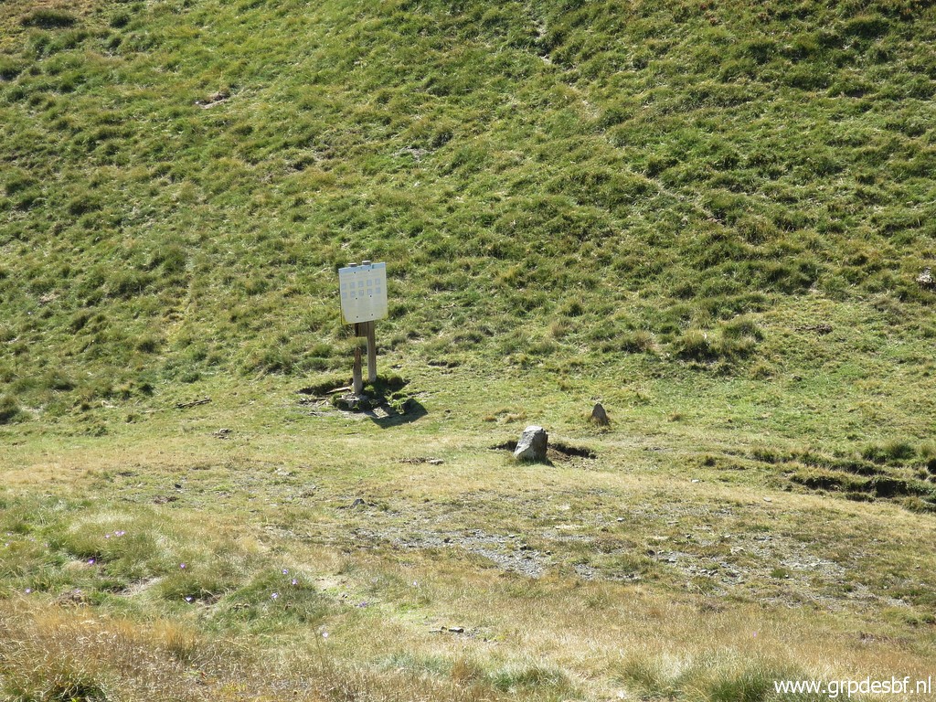 | That is this signboard with bm277 in front of it. This is Col de la Cuarde. (click photo to enlarge) |
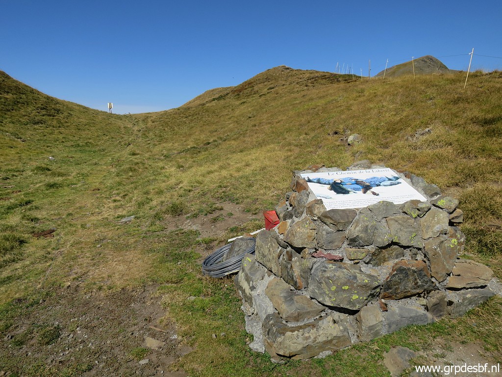 | A memorial plaque nearby (click photo to enlarge) |
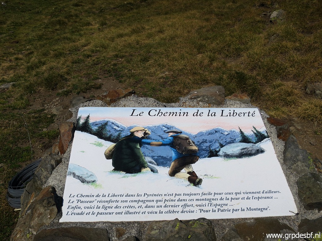 | commemorating the refugees who fled France in WOII. (click photo to enlarge) |
 | Col de la Cuarde (click photo to enlarge) |
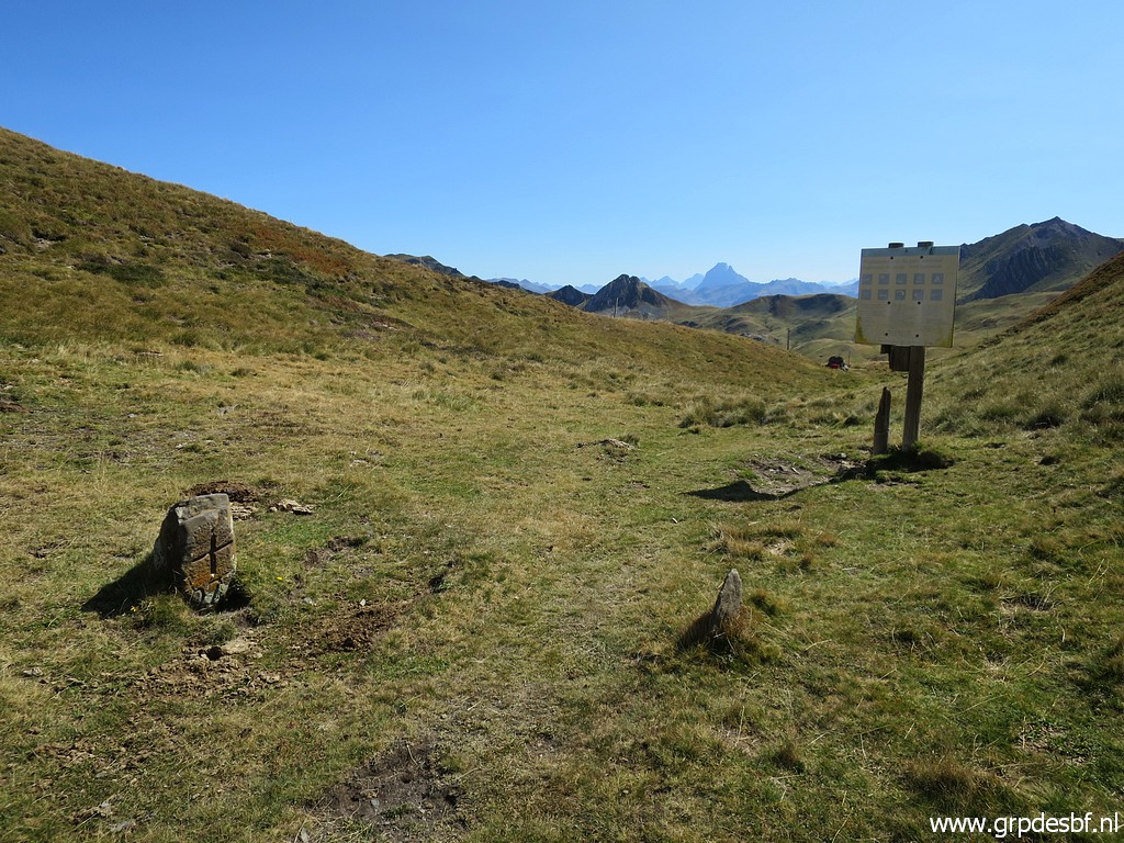 | Bm277 (click photo to enlarge) |
 | Bm277 (click photo to enlarge) |
 | Bm277 (click photo to enlarge) |
 | Bm277 Time to take a lunch-break. (click photo to enlarge) |
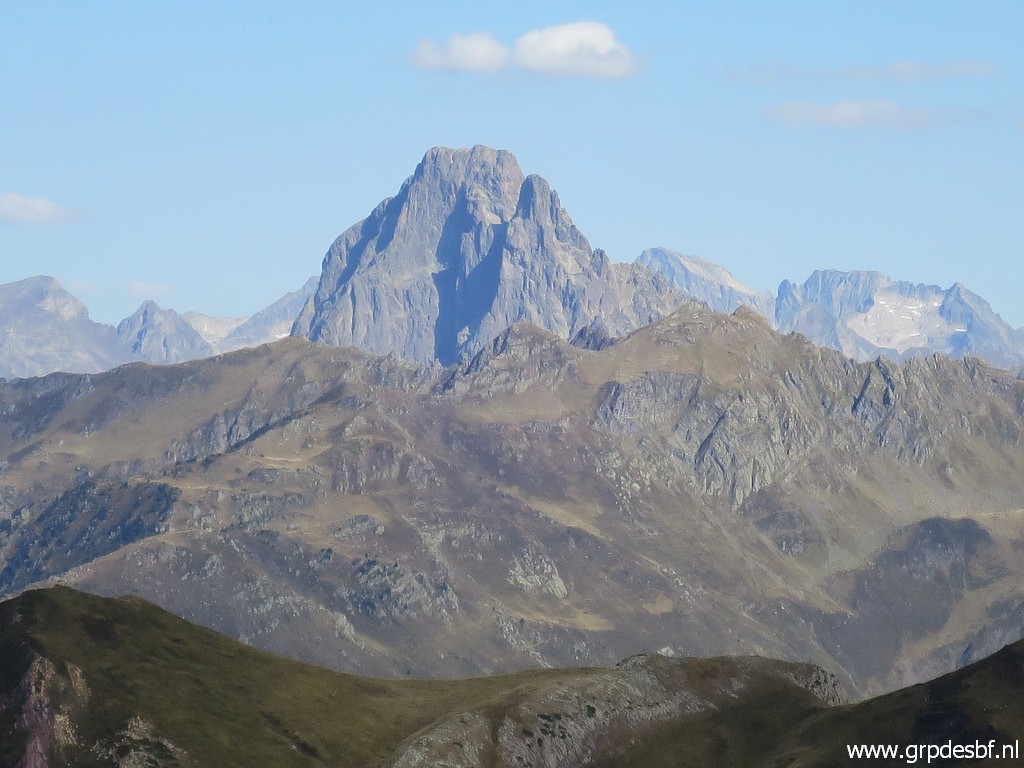
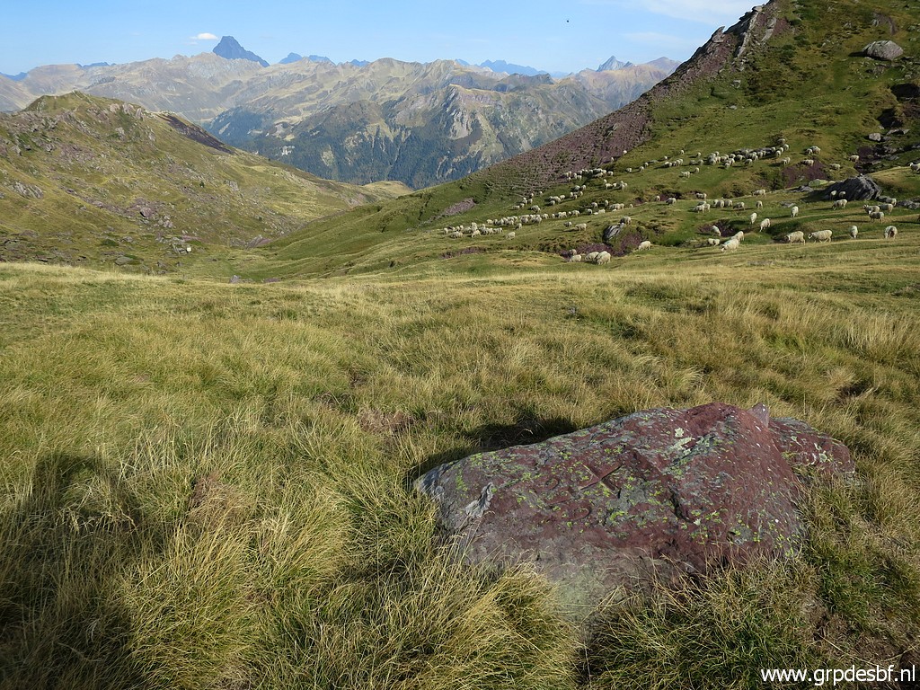
 | Then going on with in the far distance (click photo to enlarge) |
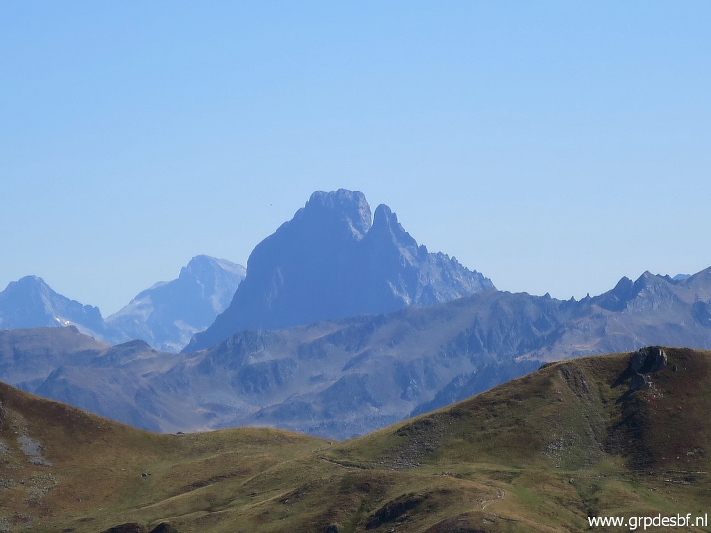 | Pic du Midi d'Ossau. (click photo to enlarge) |
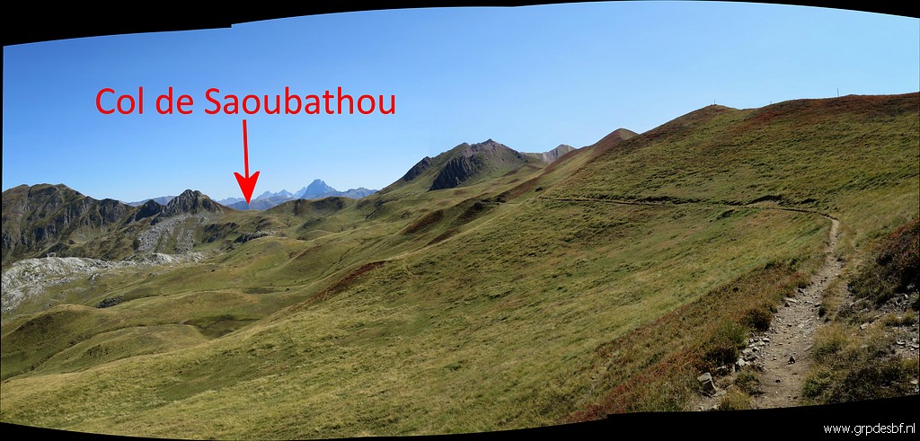 | Getting closer (click photo to enlarge) |
 |
to Col de Saoubathou. |
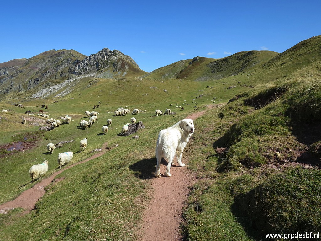 | A new phenomenon: large white shepherd dogs who are nasty for walkers passing by. (click photo to enlarge) |
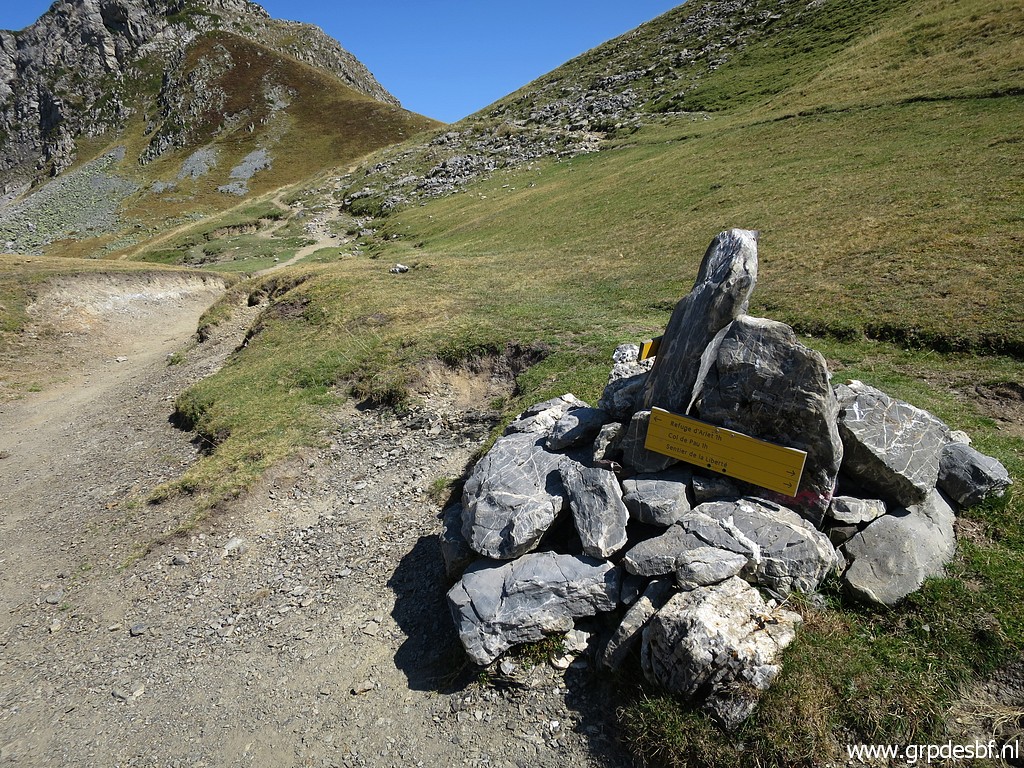 | Now close to Col de Saoubathou. (click photo to enlarge) |
 | Col de Saoubathou (click photo to enlarge) |
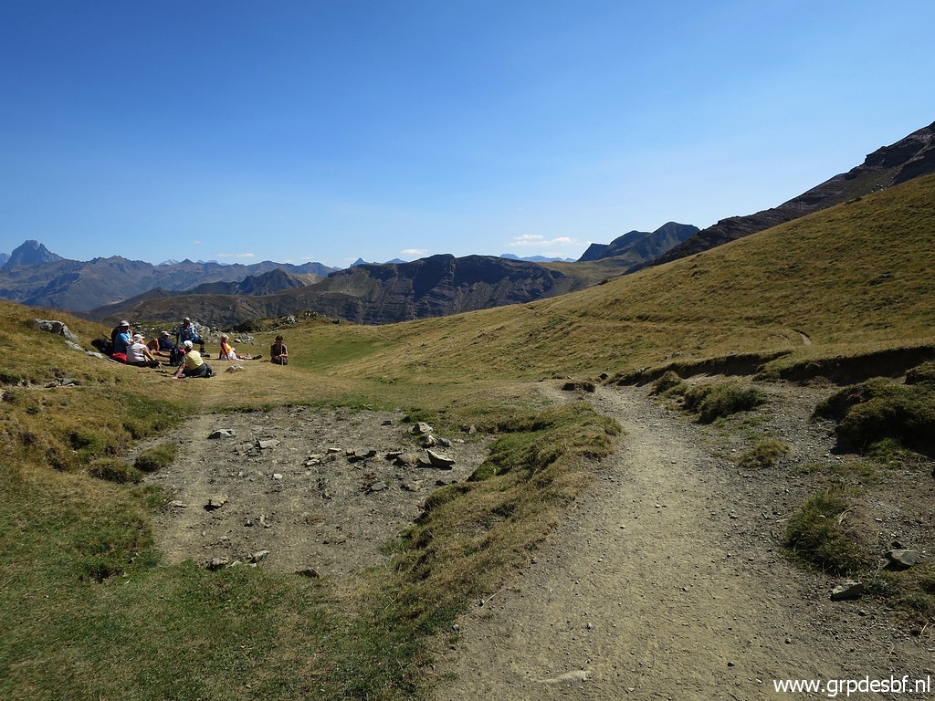
 | Another stretch of easy trail, (click photo to enlarge) |
 | passing the Cabane de Lapassa (in the distance) and (click photo to enlarge) |
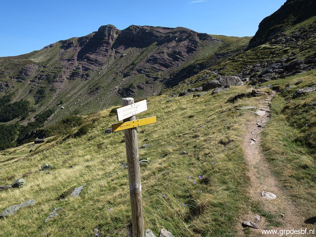 | beyond the Cabane this signpost. Descending into the valley will bring you to Borce and Etsaut. That is how I will return to my car tomorrow. (click photo to enlarge) |
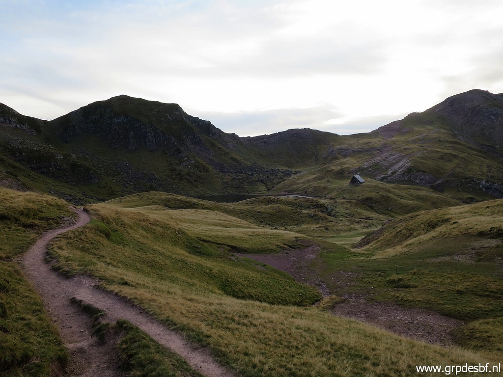
 | Continuing to a next sort of col. Soon beyond the col , (click photo to enlarge) |
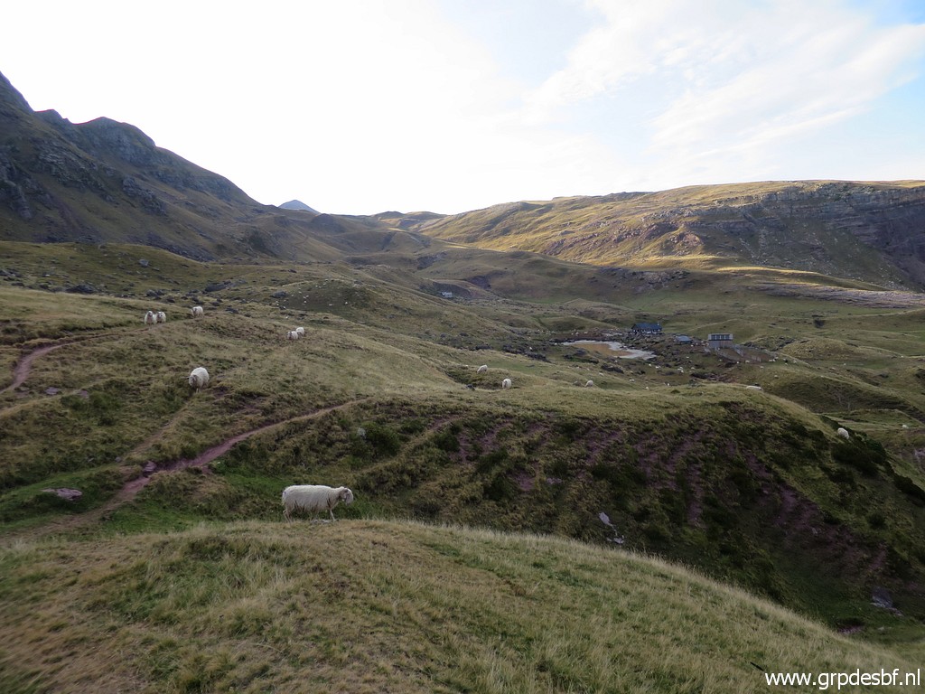
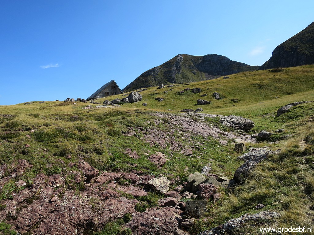 | you can spot the roof of the Refuge d'Arlet (click photo to enlarge) |
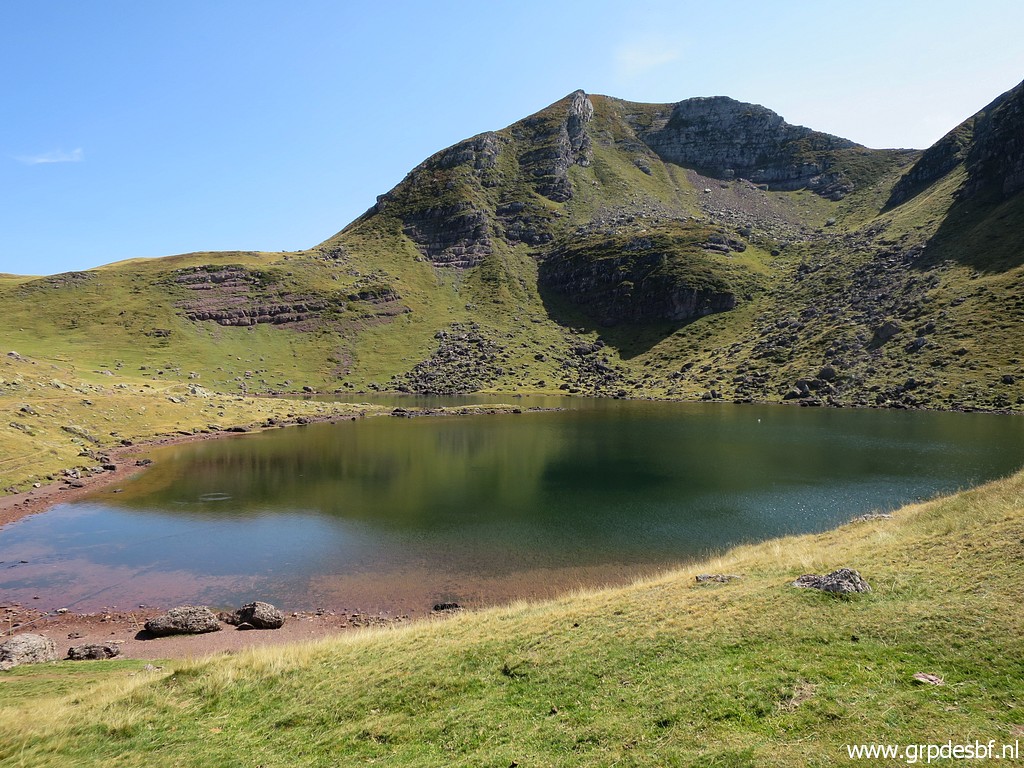 | with Lac d'Arlet at his feet. (click photo to enlarge) |
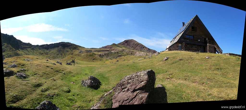 | The refuge with to the left the borderridge where bm278 can be found. (click photo to enlarge) |
 | But first I have to collect water at the lake. I haven't encountered any stream along my route today, that is to say from Lac de la Chourique until Lac d'Arlet. (click photo to enlarge) |
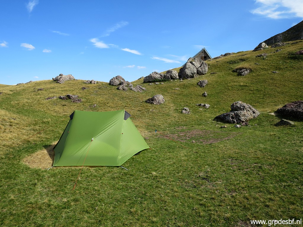 | Then I pitch my tent behind the refuge. That gives more privacy than on the bivouac-field besides the refuge. (click photo to enlarge) |
 | In the background on the ridge is Col d'Arlet with bm278. With a much lighter backpack, I depart for a roundtrip to cover bm278 and 279. It will take me 4 hours from 16h to 20h. (click photo to enlarge) |
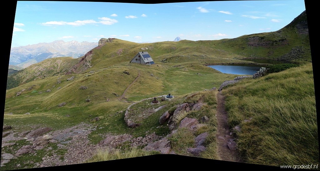 | Climbing to bm278, looking back at refuge and lake. (click photo to enlarge) |
 | It's a short climb to Col d'Arlet, ± 15 minutes from the refuge. No waymarks but the route is very obvious. (click photo to enlarge) |
 | Almost at the Col, with a view back and (click photo to enlarge) |
 | a zoom-in to Pic du Midi d'Ossau. (click photo to enlarge) |
 | Bm278 is from the actual pass ± 35m to the NW on the ridge. (click photo to enlarge) |
 | Bm278 (click photo to enlarge) |
 | Bm278 after chalking. (click photo to enlarge) |
 | Bm278, looking back to the actual pass 35m SE. (click photo to enlarge) |
 | Bm278 (click photo to enlarge) |
 | Bm278, refuge d'Arlet and lake in the background. (click photo to enlarge) |
 |
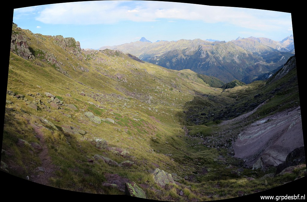
Then descending SE on the Spanish side along a waymarked trail. |
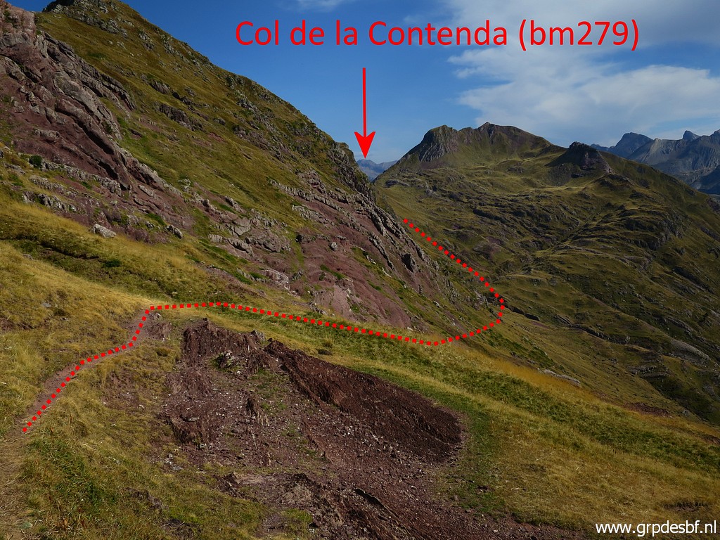
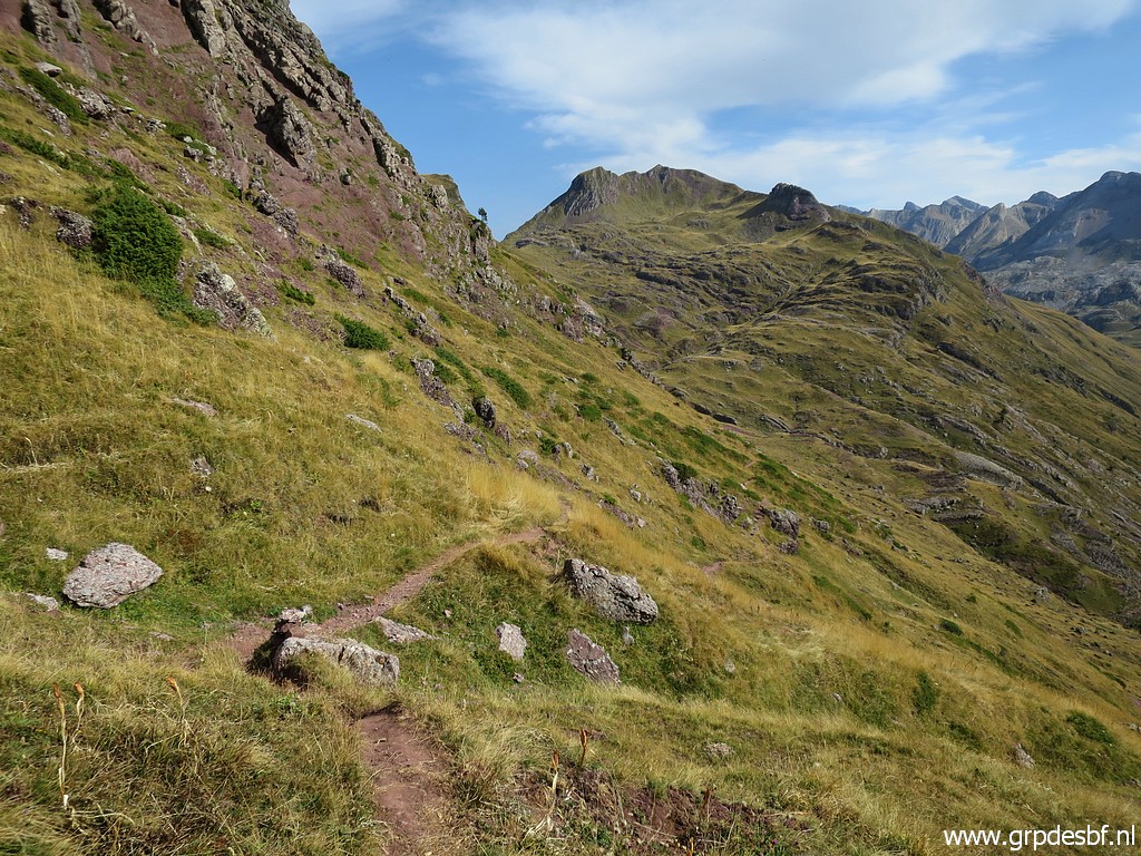 | The trail descends to the foot of the next valley climbing up to Col de la Contienda. (click photo to enlarge) |
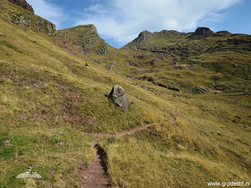 |
At that point, the trail itself descends further bending W and you have to leave it here to climb (click photo to enlarge) |
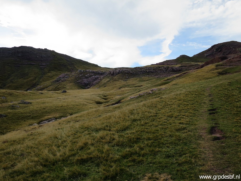
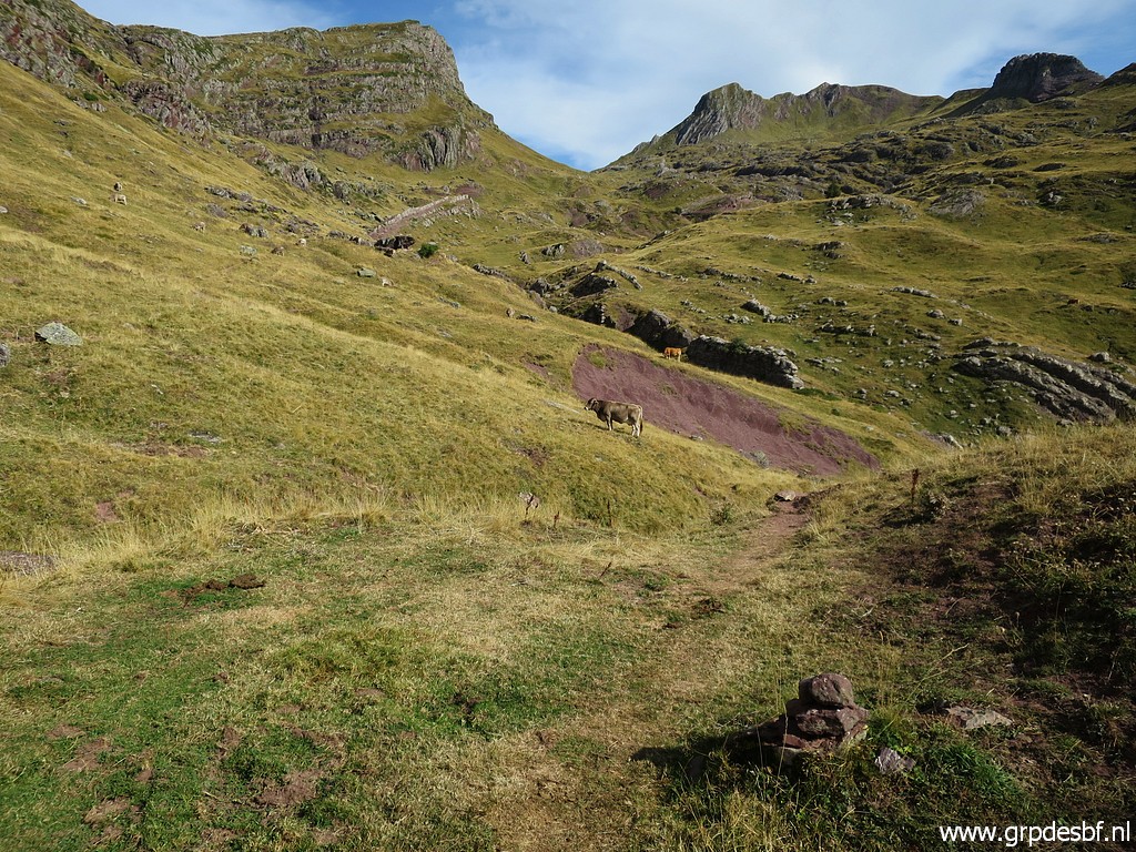 | SE uphill on the grassy hillside. No trails, hardly any cairn but the direction is obvious with the Col in sight. (click photo to enlarge) |
 | It is tough climbing on the grass. You have to find your own route towards the Col but that's no problem. (click photo to enlarge) |
 | Almost at the Col with (click photo to enlarge) |
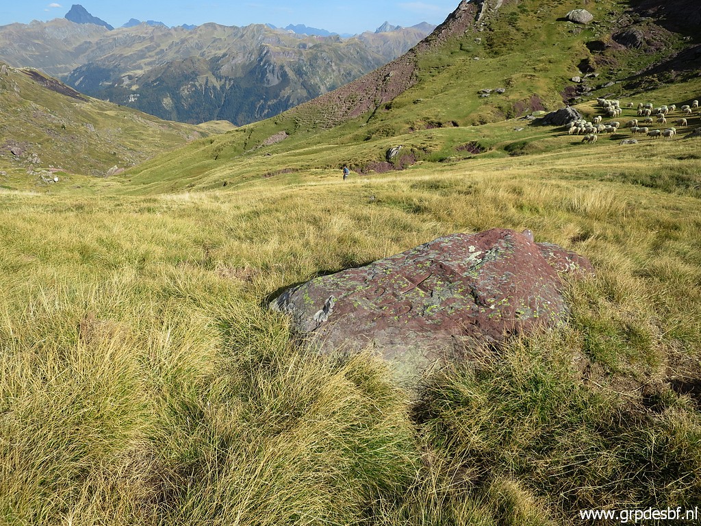 | bm279. It took me 1,5 hours to get here from the Refuge d'Arlet. (click photo to enlarge) |
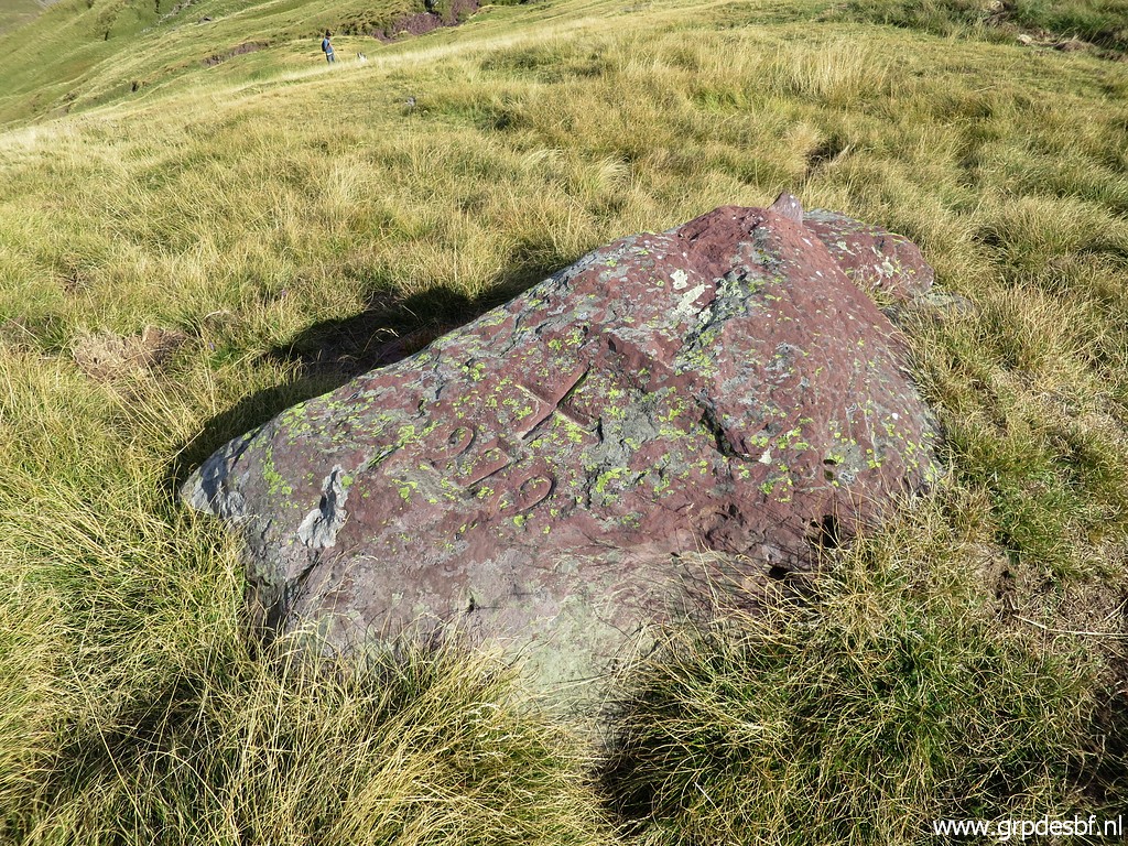 | Bm279 (click photo to enlarge) |
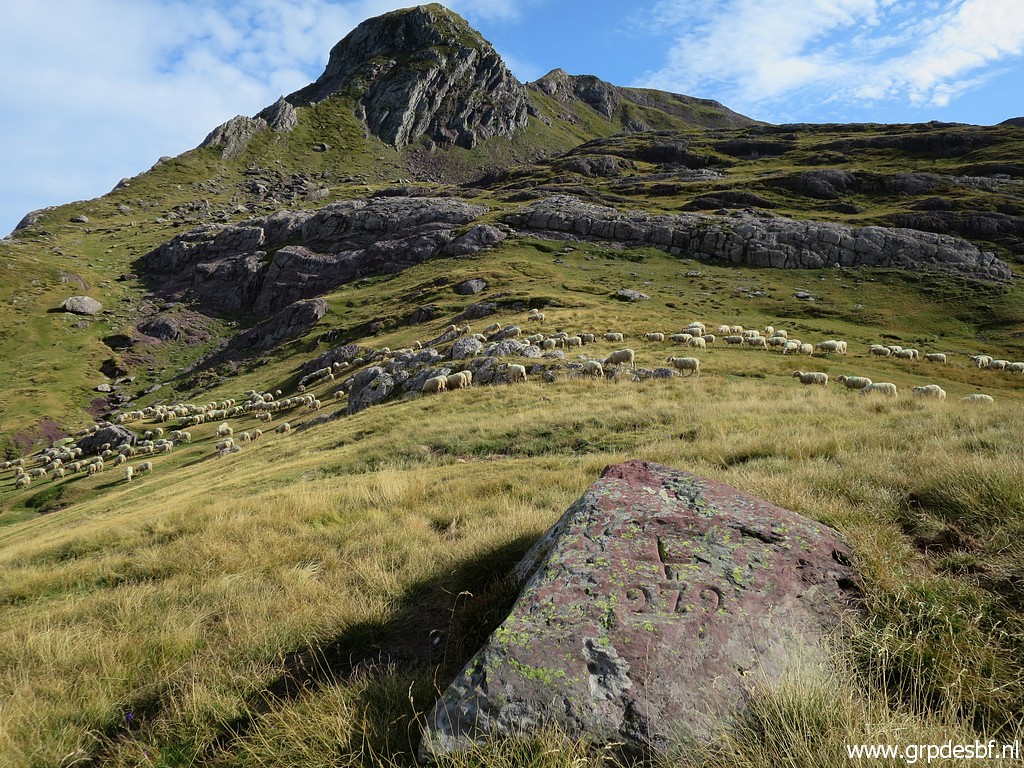 | Bm279 (click photo to enlarge) |
 | Bm279 (click photo to enlarge) |
 | Bm279 (click photo to enlarge) |
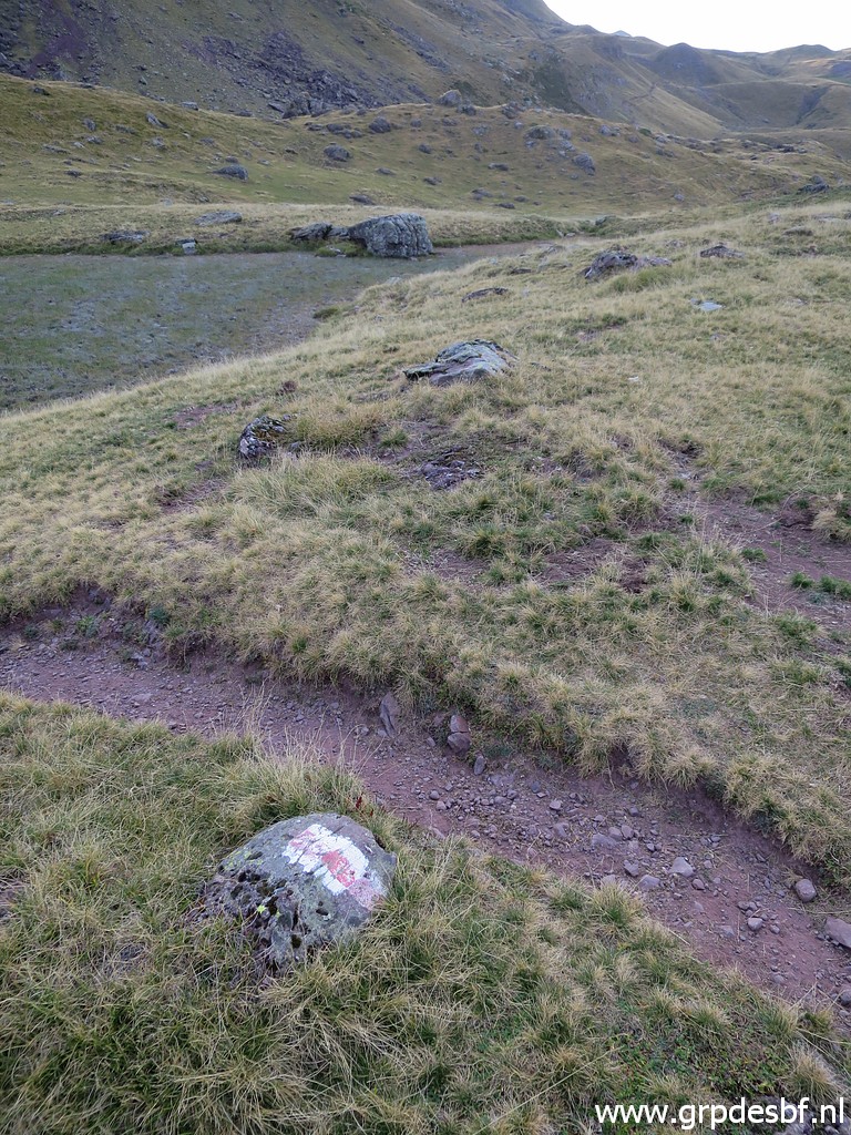
 | On the other side of the Col, descending on a well waymarked trail (with cairns) (click photo to enlarge) |
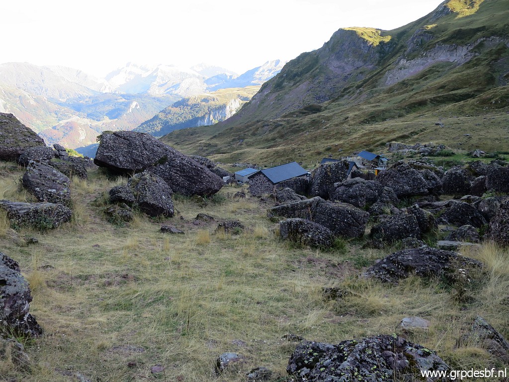 | until this shepherd's compound. (click photo to enlarge) |
 | Looking back to Col de la Contienda. (click photo to enlarge) |
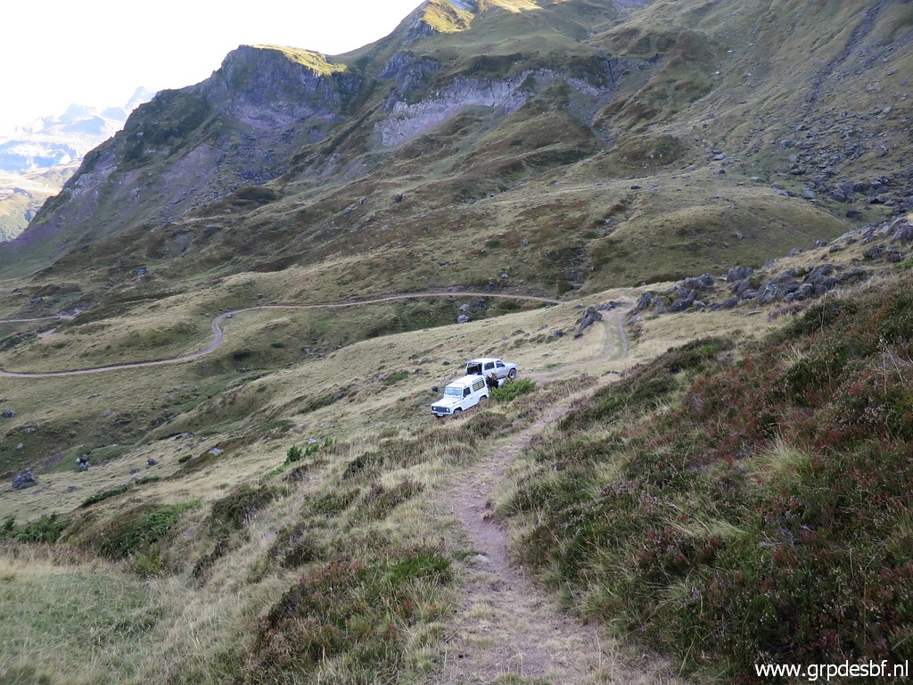 | Beyond the cabane, I arrive at the end of the dirtroad with the two cars. Two men are loading donkeys with cargo and they tell me (click photo to enlarge) |
 | that I can return to Refuge d'Arlet along a shortcut waymarked with these white poles. I climb to a ridge (click photo to enlarge) |
 | and arrive at this valley with a cabane (Cabane des Caillaous). (click photo to enlarge) |
 | and join the waymarked trail towards the refuge. I'm relieved because it's getting later and later. (click photo to enlarge) |
 | On well trails I proceed to the refuge (visible in the distance) and it's getting dark when I arrive at my tent. The refuge's ward-lady rebukes me for not using the bivouac-field but so be it. Too late to change. It takes me an hour to cook, wash myself, eat and brush my teeth. It's been a long day, perhaps too long but still I'm glad that I did the additional roundtrip along bm278-279. (click photo to enlarge) |
|
The next day I pack my tent in the rain but it gets dry soon. I descend in 4,5h (1500m descent) to Etsaut. It's a beautiful and easy walk with much silence and already autumn colours. Lunch at a restaurant in Etsaut. While enjoying my lunch, I hear that this region has been declared suddenly to an 'orange' region by the Dutch government. A further stay will mean 10 days quarantine when I return in Holland because of the covid-19-epidemic. But most of France is still 'yellow' so I can take my time to return home while spending already some days of my quarantine in the yellow regions. |
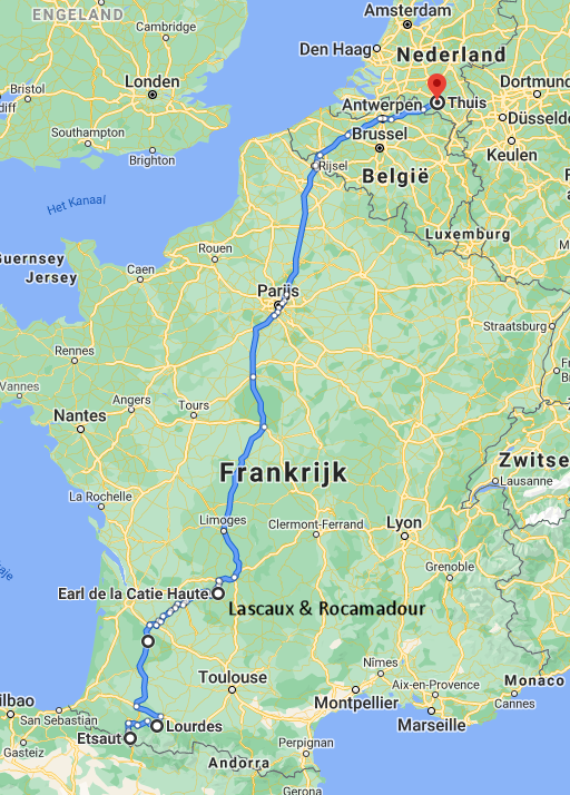 |
After a day of rest in Lourdes (very quiet because of the epidemic), I
drive 17/9 to the Dordogne for a visit to the caves of Lascaux and the shrine of Rocamadour. On sunday 20/9 I drive back to home sweet home and obey as a well mannered citizen my few remaining days of quarantine. |