|
The
bordermarkers of the Pyrenees : all my trips
|
|
| -
thursday 10 june
2021 - Visiting the new cycle-trail along the 409-es-submarkers; redoing 409-1fr and 3fr  previous
trip
next
trip previous
trip
next
trip  |
 |
 |
Summary:
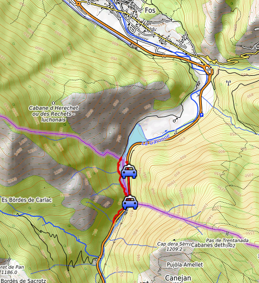
part of a series of 8 daytrips in june 2021 near Bagnères-de-Luchon and
Col de Somport. This is day 1. Today: in the afternoon a visit to the cycle-trail in construction along the bm409-es submarkers. After that: bm4091-1fr and 3fr. Weather: cloudy, nice temperature. |
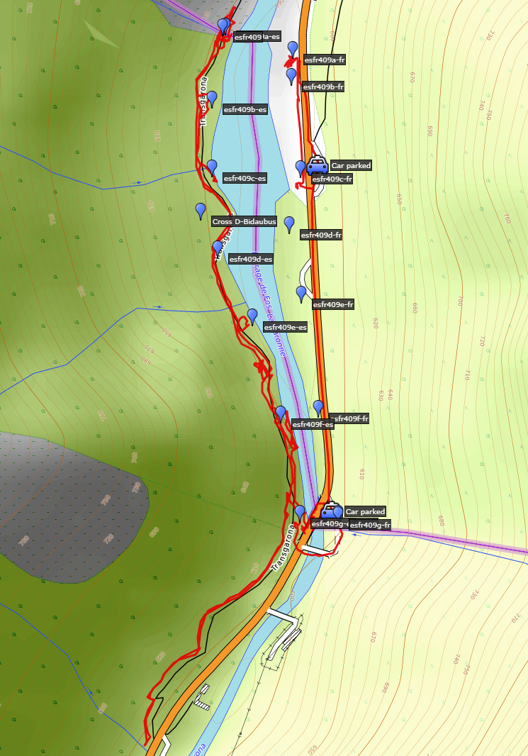 track-20210610.kml
(click to open this trip in Google Earth or copy link to Google Maps; click right on this link to download gpx-version). The gps-track has not been manually corrected which explains the inaccuracy and misalignment at some points. For cartographic backgrounds: see the cartography-page Gps-waypoints of all bordermarkers (most recent version): kml: esfr-bordermarkers-all-waypoints.kml gpx: esfr-bordermarkers-all-waypoints.gpx (with elevation added by gpsvisualizer.com) |
|
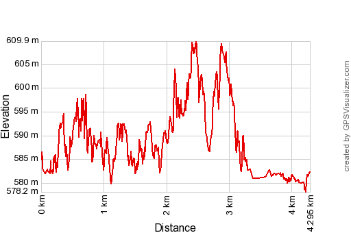 |
According to Garmin Basecamp (uncorrected original track): Distance: 5,0 km Max-height: 602m Min-height: 571m Elevation: +156m -145m Total elevation: 301m Start 15:36 Finish 17:42 Total time: 2:06 |
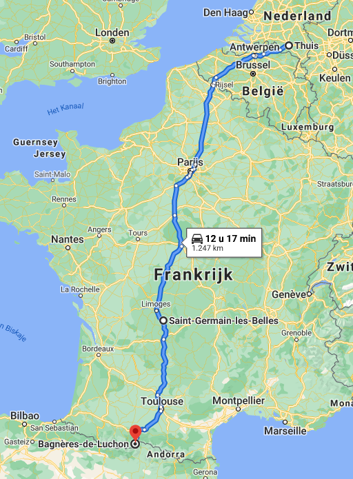 |
Yesterday I started driving to the Pyrenees with an overnight's stop at camping Montréal in Saint-Germain-les-Belles. |
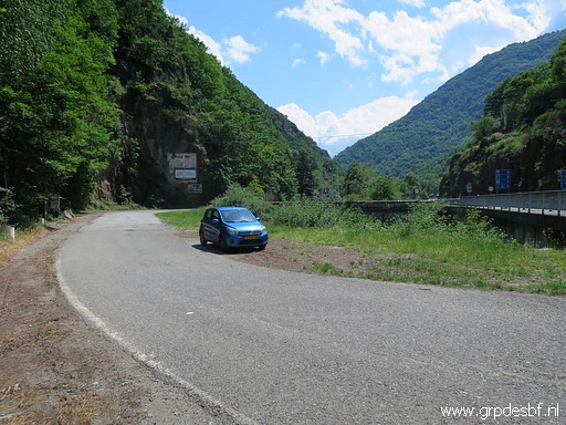 | The camping staff of camping Les Myrtilles in Moustajon has its lunch-break. So I do first a small trip from Pont du Roi (bm410) to see for myself the new cycle-trail in construction along the Garonne-river. Carlos and Conchita reported about this trail in the spring. See this blogpost. I thought it was a walking path in construction but today I will learn that it a cycle-trail. (click photo to enlarge) |
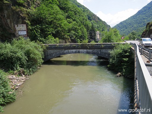 | The old Pont de Roi. (click photo to enlarge) |
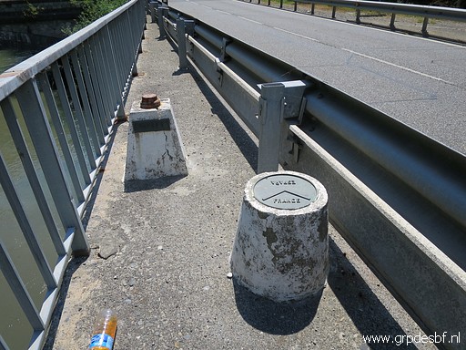 | Kind of bordermarkers on the new bridge. (click photo to enlarge) |
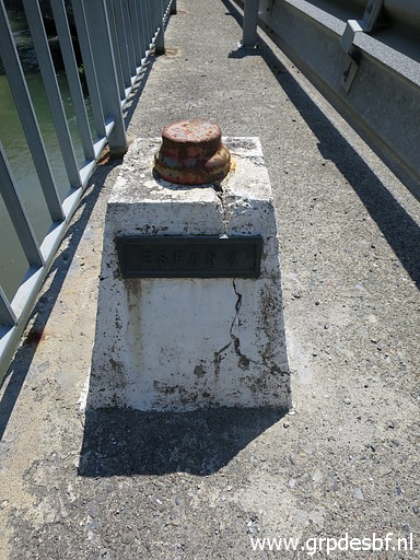 | Without any numbering. (click photo to enlarge) |
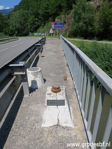 | Looking into France. (click photo to enlarge) |
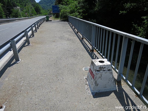 | Looking into Spain. (click photo to enlarge) |
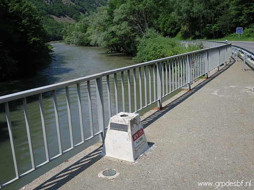 | Looking towards France. (click photo to enlarge) |
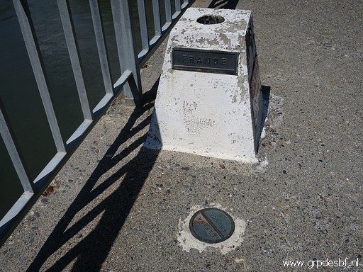 | The borderline indicated at the round plaque. (click photo to enlarge) |
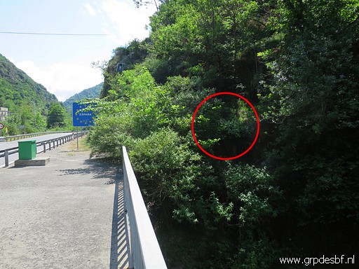 | Bm409-7es can be seen from the new bridge (click photo to enlarge) |
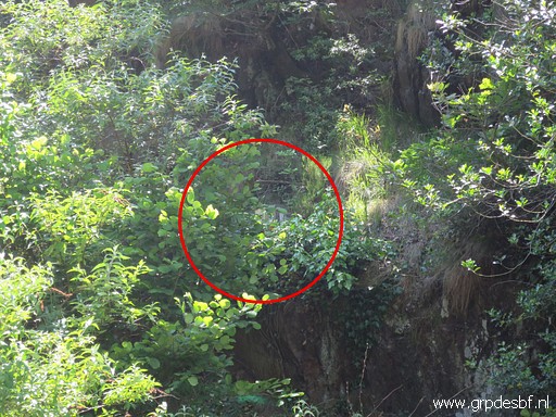 | but is hardly visible in this time of year. (click photo to enlarge) |
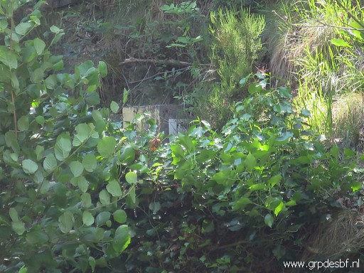 | Zoom-in to bm409-7es (click photo to enlarge) |
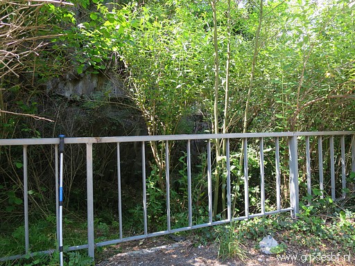 | Then I try something new: just beyond the bridge is this railing. (click photo to enlarge) |
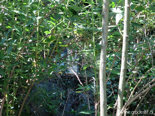 | I can spot bm409-7es between the branches and leaves. I climb easily over the railing (click photo to enlarge) |
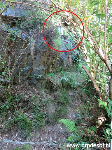 | and can get closer to bm409-7es. (click photo to enlarge) |
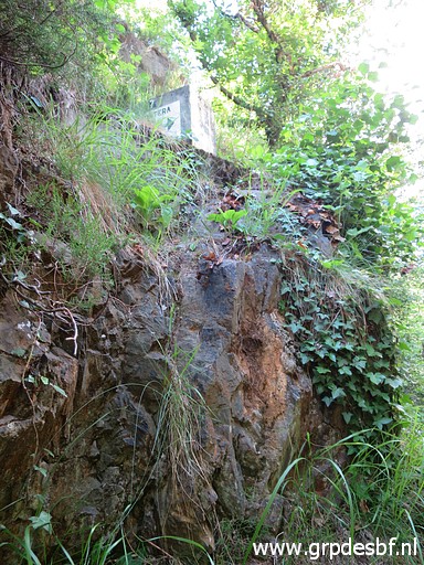 | Bm409-7es There is an access from above (click photo to enlarge) |
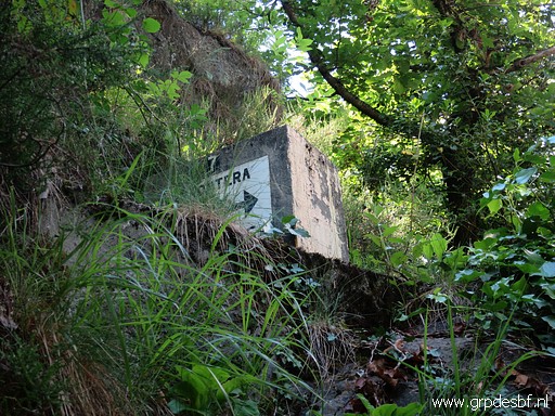 | but bm409-7es is also well to photograph from here. (click photo to enlarge) |
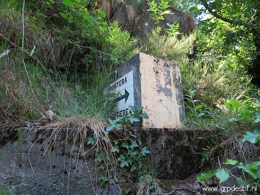 | Bm409-7es (click photo to enlarge) |
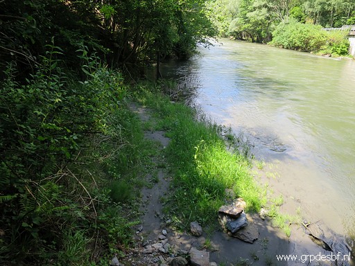 | To my surprise there is a trail from the railing descending to the riverside which (click photo to enlarge) |
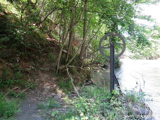 | a bit further climbs uphill. (click photo to enlarge) |
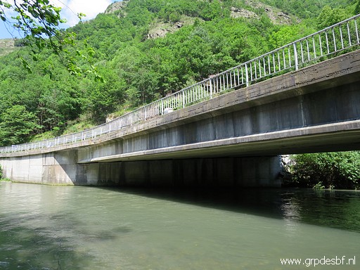 | The new bridge, you can spot the unnumbered markers on the bridge. (click photo to enlarge) |
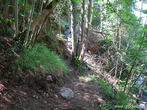 | I follow the trail uphill (click photo to enlarge) |
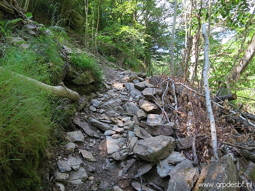 | which gets more distinct close (click photo to enlarge) |
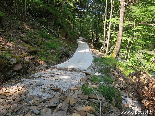 | to its junction with the new cycle-trail in construction. (click photo to enlarge) |
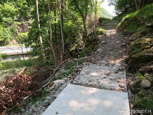 | Strangely enough, it just ends here as if the construction workers suddenly quit their jobs. (click photo to enlarge) |
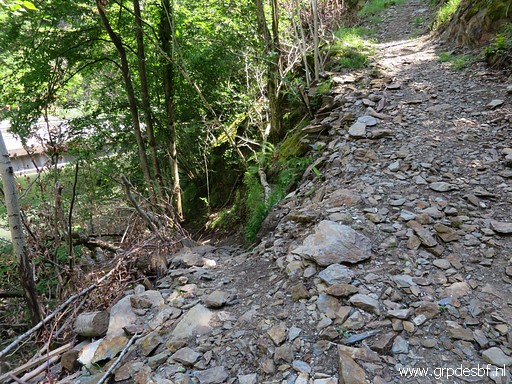 | You can see the path descending as a side-branch to the river. That's where I came from. That path wasn't there before and seems to be made as an easy connection for the workers between bridge and the cycle-trail in construction. (click photo to enlarge) |
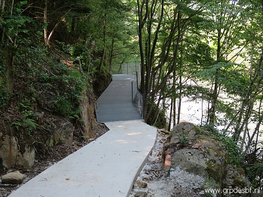 | I walk along the concrete track to the north. (click photo to enlarge) |
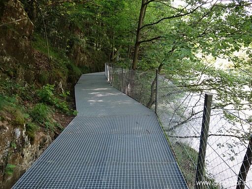 | At at steep part, this metal construction. (click photo to enlarge) |
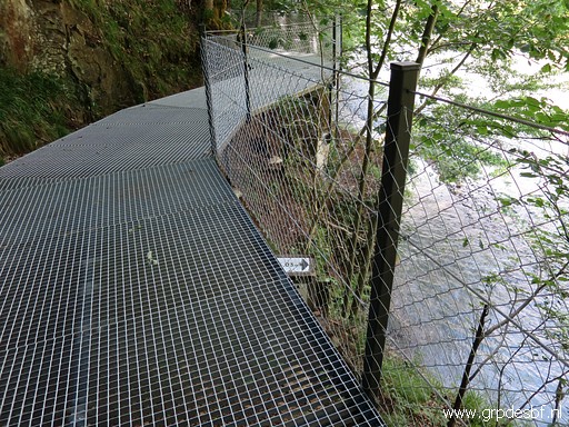 | Bm409-6es is now under the elevated track. (click photo to enlarge) |
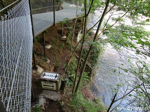 | Bm409-6es (click photo to enlarge) |
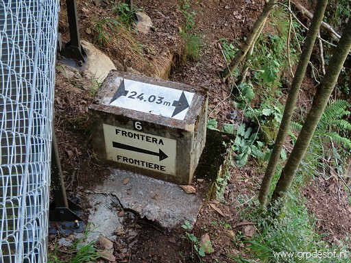 | Bm409-6es, zoom-in (click photo to enlarge) |
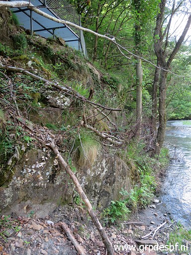 | I try to reach bm409-6es from below from the riverside but the hillside is too steep. (click photo to enlarge) |
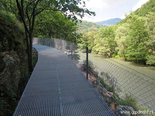 | Continuing until (click photo to enlarge) |
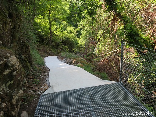 | the concrete underground returns. (click photo to enlarge) |
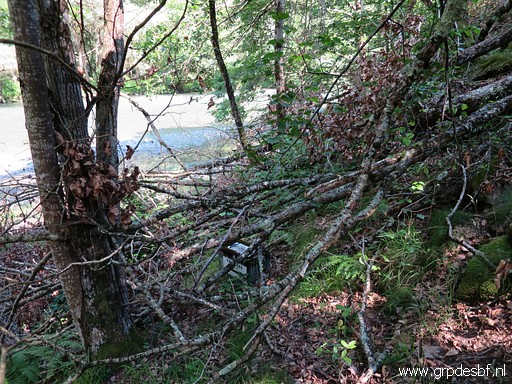 | Bm409-5es is covered under tree branches. (click photo to enlarge) |
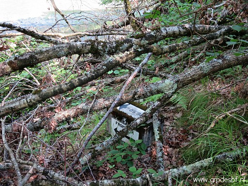 | Bm409-5es (click photo to enlarge) |
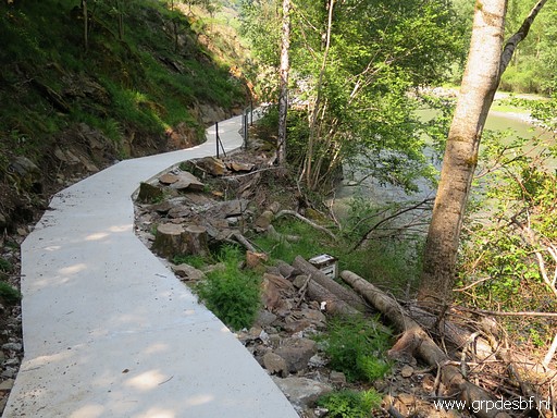 | Bm409-4es, close the new track. (click photo to enlarge) |
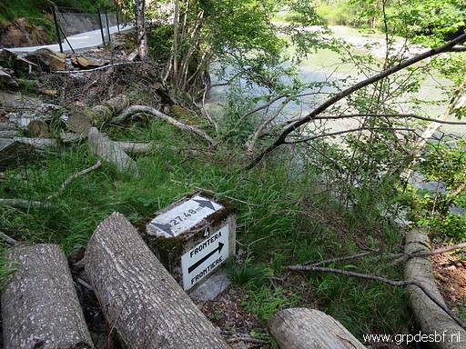 | Bm409-4es (click photo to enlarge) |
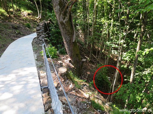 | Bm409-3es can already be seen from here and (click photo to enlarge) |
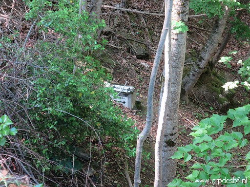 | better on this zoom-in. (click photo to enlarge) |
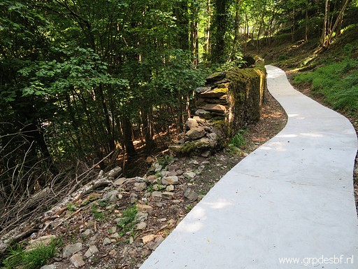 | But bm409-3es can best be accessed further on through this breach of the wall. (click photo to enlarge) |
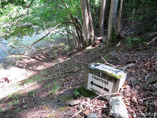 | Bm409-3es (click photo to enlarge) |
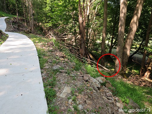 | Bm409-2es, as spotted from the track. (click photo to enlarge) |
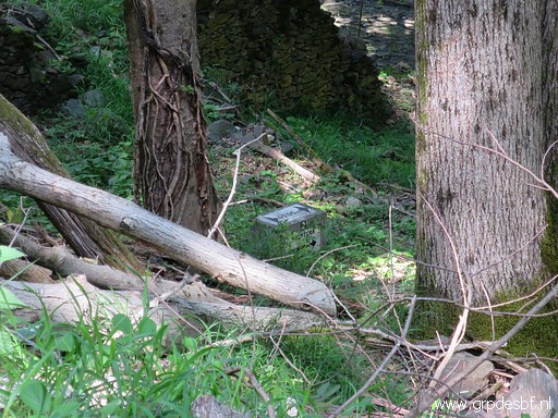 | Bm409-2es, zoom-in (click photo to enlarge) |
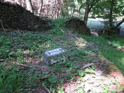 | Bm409-2es (click photo to enlarge) |
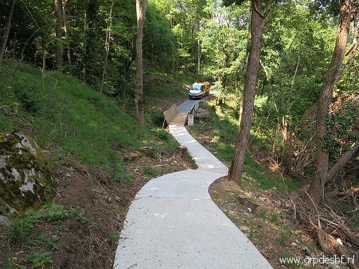 | Reaching the end of the Spanish part of the cycle track. You can spot already bm409 at the bridge. (click photo to enlarge) |
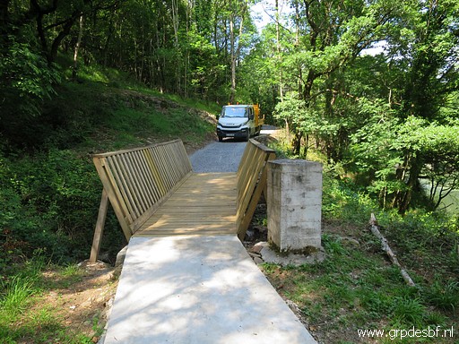 | Bm409 in front. There is a new bridge. (click photo to enlarge) |
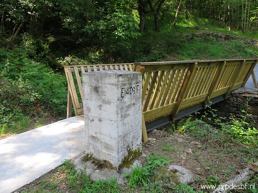 | Bm409 (click photo to enlarge) |
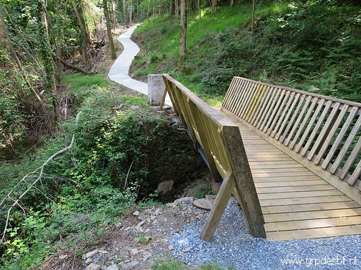 | From the other side (French side). (click photo to enlarge) |
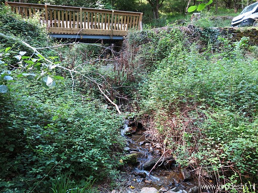 | Bm409-1es is placed below the bridge and since years covered by blackberries. (click photo to enlarge) |
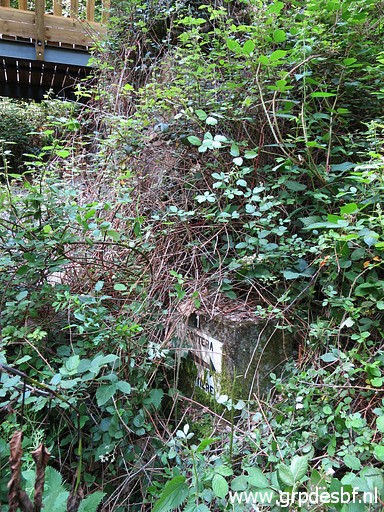 | Bm409-1es, now partly revealed by the slaying ot the undergrowth with my walking-stick. (click photo to enlarge) |
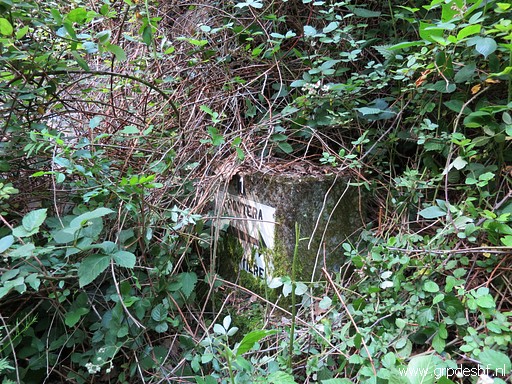 | Bm409-1es (click photo to enlarge) |
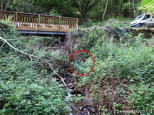 | Bm409-1es, showing its position under the bridge. (click photo to enlarge) |
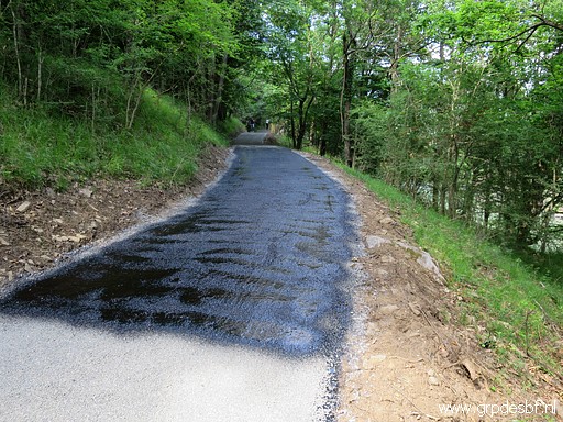 | At the French side they are now working on putting tarmac on the track. One of the workers tells me that it's going to be a cycle-track. The French part is definitively broader than the Spanish part. (click photo to enlarge) |
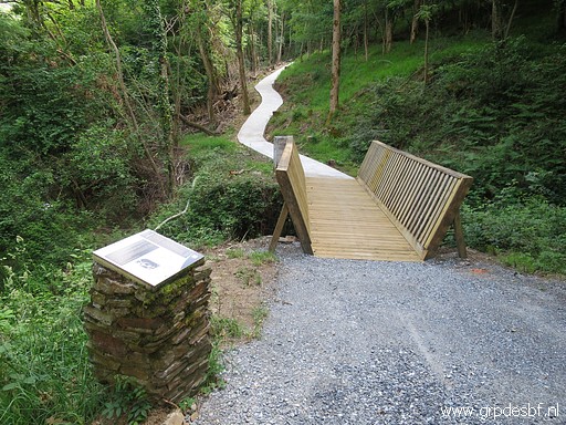 | Looking back into Spain. (click photo to enlarge) |
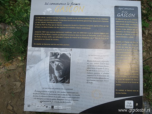 | Information panel about the Garonne. (click photo to enlarge) |
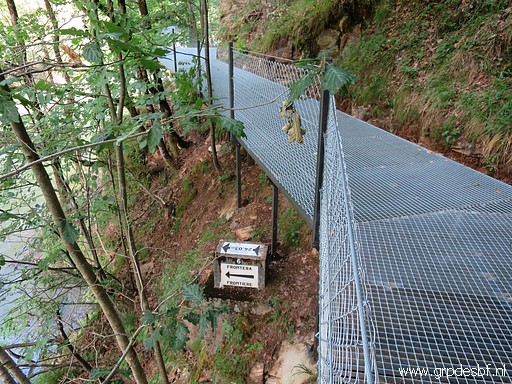 | I walk back and photograph againg bm409-6es. (click photo to enlarge) |
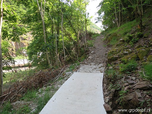 | Back at where I started. (click photo to enlarge) |
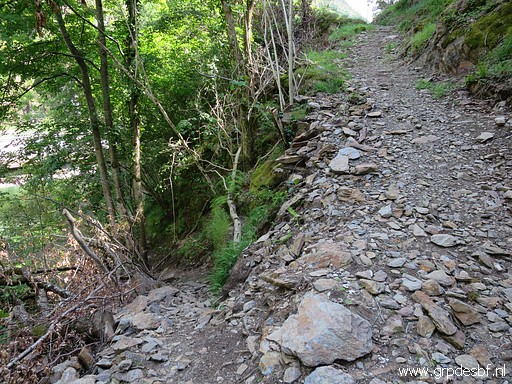 | With once againg the branch leading to the river. (click photo to enlarge) |
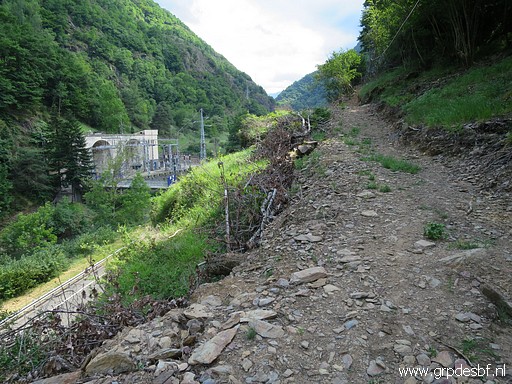 | But first I continue along the unfinished part (click photo to enlarge) |
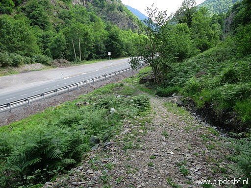 | which joins the main road further on. (click photo to enlarge) |
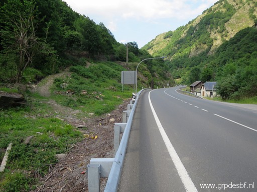 | From the road looking back. I return to the start of the concrete part and descend to the river again, (click photo to enlarge) |
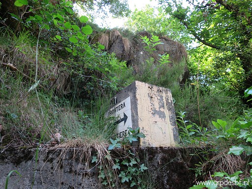 | making pictures again of bm409-7es. (click photo to enlarge) |
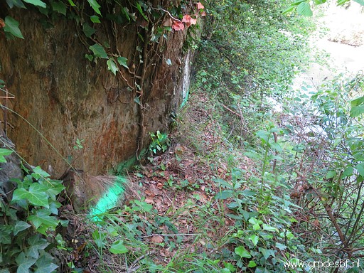 | At the bottom of the rock underneath bm409-7es, I see these bright green paintings. As if they are going to build something here also. We'll see. (click photo to enlarge) |
 |
Return to the car and a short drive to a parking, close to bm409-1fr and 3fr. The reason is that Carlos & Conchita couldn't find those two markers in the spring. Tomorrow we will have a look together but I want to search first for myself. |
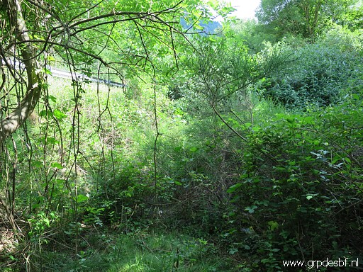 | I have troubles finding bm409-1fr. It can't be far away of the guard rail along the road. (click photo to enlarge) |
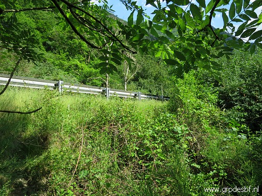 | Moreover: it's position is indicated by (click photo to enlarge) |
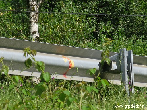 | a sign on that guard rail. You can distinguish - with some fantasy - an '1'. (click photo to enlarge) |
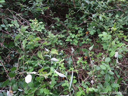 | Only with pricking with my walking stick in the undergrowth, I can find bm409-1fr. It is fully overgrown. (click photo to enlarge) |
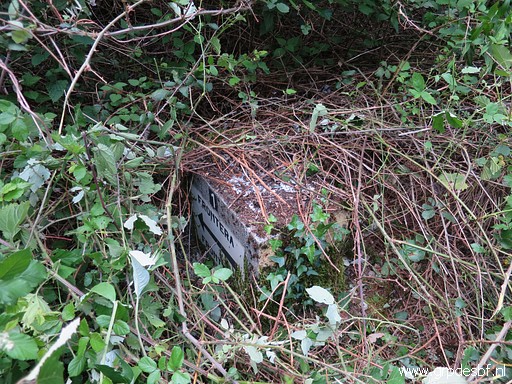 | Bm409-1fr, uncovered for a bit. (click photo to enlarge) |
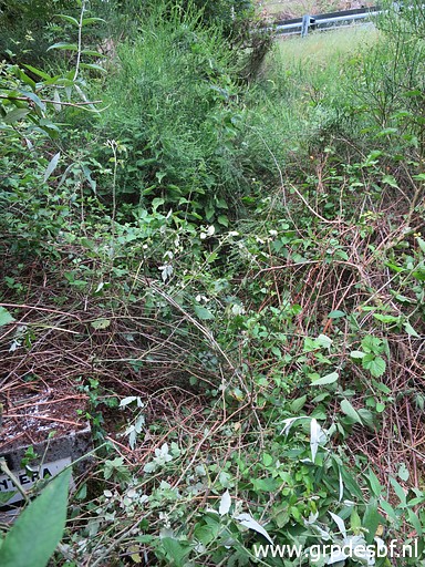 | Bm409-1fr (lower left corner) with the guard rail uphill (click photo to enlarge) |
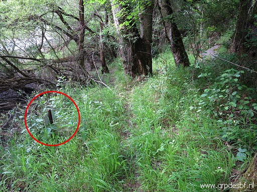 | Bm409-3fr is on ground level, I know that from earlier visits. It has been covered by soil after a flooding, years ago. Luckily there is signpost besides it, indicating its position. (click photo to enlarge) |
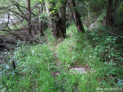 | Bm409-3fr, now with the top surface cleaned. (click photo to enlarge) |
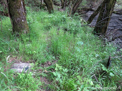 | Bm409-3fr (click photo to enlarge) |
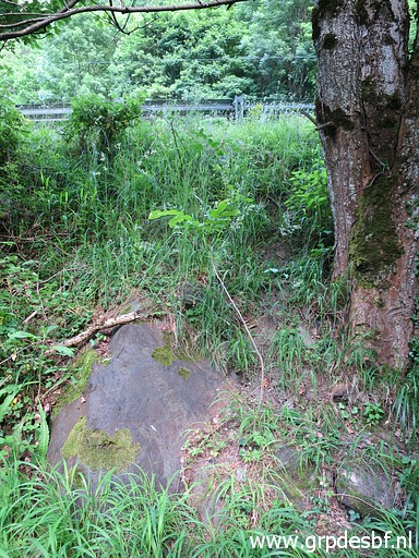 | Best place to descend from the road to bm409-3fr. (click photo to enlarge) |
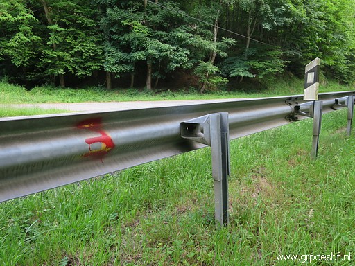 | At the guard rail a "3" painted. (click photo to enlarge) |
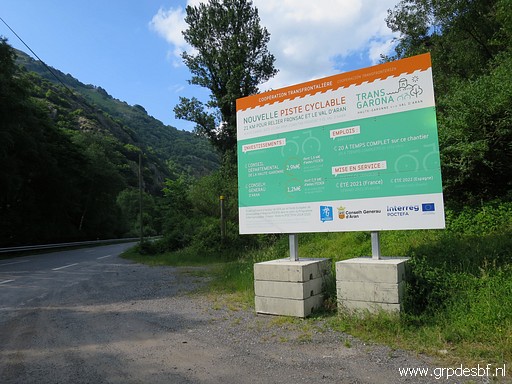 | At the parking, I discover this large information panel (click photo to enlarge) |
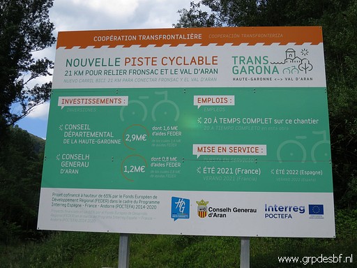 | with the explanation of the cycle trail. (click photo to enlarge) |
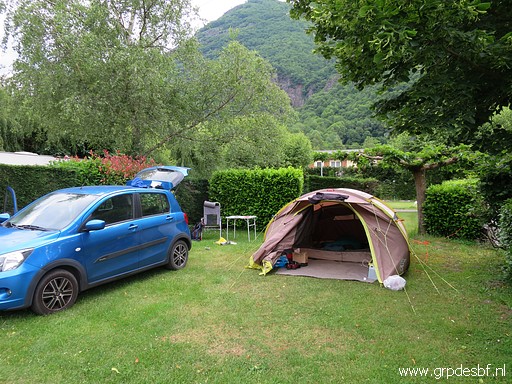 | Enough for today. Back to the camping (Les Myrtilles in the village of Moustajon) and installing myself. (click photo to enlarge) |
 previous
trip
next
trip previous
trip
next
trip  |
|
