|
The
bordermarkers of the Pyrenees : all my trips
|
|
| -
sunday 19 september
2021 - Trying an alternative route to bm271  previous
trip
next
trip previous
trip
next
trip  |
 |
 |
Summary:
part of a series of 11 daytrips in september 2021 in the western half
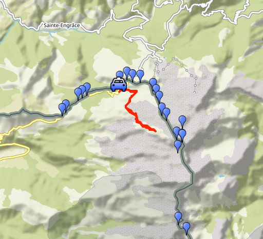
of the Pyrenees. This is day 10. Today: reconnaissance of an alternative route to bm271. Based on trails on Osm-maps and Topopirineos. It seems less rocky thus faster than the route along the foot of Pic d'Anie. Weather: mainly cloudy, foggy, cold Basecamp: camping in Arette |
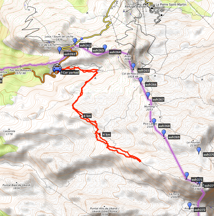 track-20210919.kml
(click to open this trip in Google Earth or copy link to Google Maps; click right on this link to download gpx-version). The gps-track has not been manually corrected which explains the inaccuracy and misalignment at some points. For cartographic backgrounds: see the cartography-page Gps-waypoints of all bordermarkers (most recent version): kml: esfr-bordermarkers-all-waypoints.kml gpx: esfr-bordermarkers-all-waypoints.gpx (with elevation added by gpsvisualizer.com) |
|
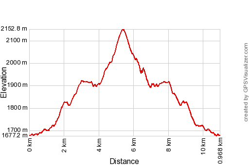 |
According to Garmin
Basecamp (uncorrected track with elevation added by Gpsvisualizer.com): Distance: 11,0km Max-height: 2153m Min-height: 1677m Elevation: +809m -809m Total elevation: 1618m Start 10:57 Finish 16:25 Total time: 5:28 |
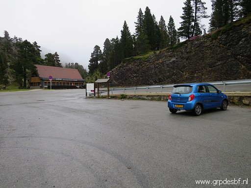 | Parking at the parking La Contienda. (click photo to enlarge) |
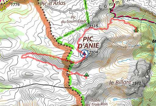
| More information about the route of today on 9-9-2020. From that webpage the map hereunder. It shows the 'classical' route to bm271 which Carlos & Conchita and me tried on 5-9-2020 and the red route which I will try today. You can download the kml-track (Google Earth) of the alternative routen with this link (gpx-file with this link). The 'classical route' can be downloaded with this link. 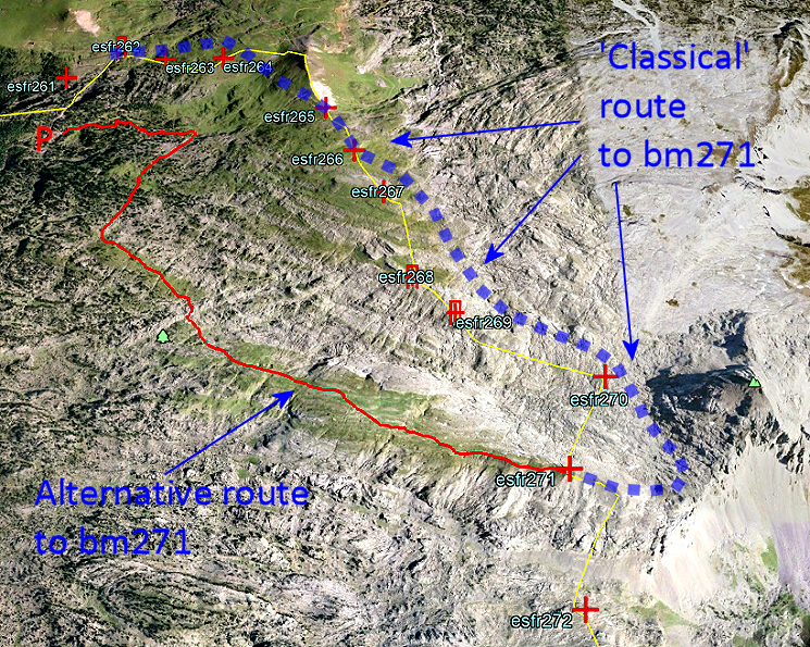 What is the difference between these two routes : - classical route: 6,8km, pos. elevation 707m, neg. elevation 164m - alternative route: 5,8km, pos. evelevation 673m, neg. elevation 48m Not much difference in distance and elevation. But the alternative route has a large advantage, so it seems. It is almost completely on green (grassy) underground. Whereas the classical route traverses almost half of it rocky and speed-slowing terrain. So the alternative route is worth trying. And that is what I am going to do today. |
|
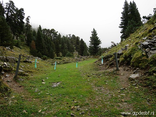 | From the parking La Contienda a maze of cross-country skiing tracks runs to the east. (click photo to enlarge) |
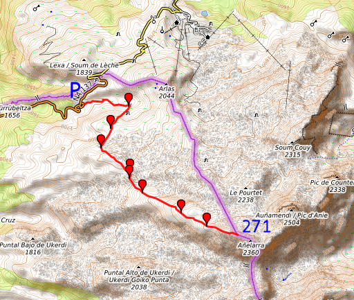 |
At forehand I made a gpx-track with 8 waypoints (WP1-WP8) in it to guide me on 'en route'. Track based on tracks I found on OSM and Topopirineos. I use my Garmin gps to navigate from waypoint to waypoint and the smartphone-app OsmAnd to check the route on the map 'en route'. |
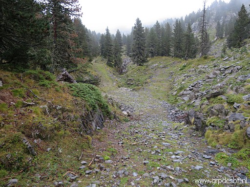
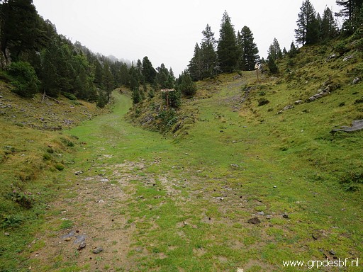 | I start walking along the skiing-track. If there's bifork, I take the right one like here (click photo to enlarge) |
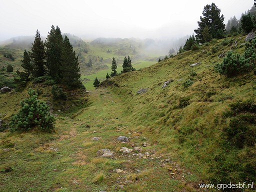
 | and here. (click photo to enlarge) |
 | And that brings me (click photo to enlarge) |
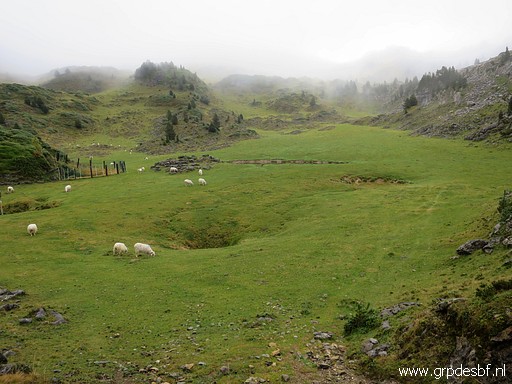 | to this large circular field. (click photo to enlarge) |
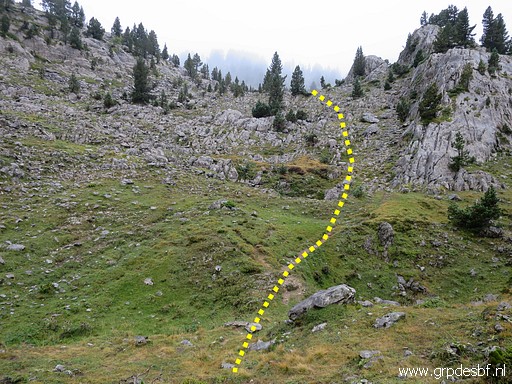 | On the south side of the field, I climb SW on this route. (click photo to enlarge) |
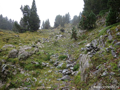 | There is a rocky trail with cairns until approximately WP3. (click photo to enlarge) |
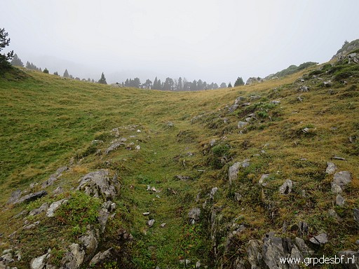 | After
that there often (traces of) trails and some cairns. But you definitely
need the gpx-route on your gps-device and/or smartphone to guide you. I cross rocky terrain and large grassy parts like this one. (click photo to enlarge) |
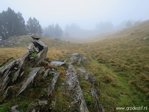 | The weather is damp and foggy (click photo to enlarge) |
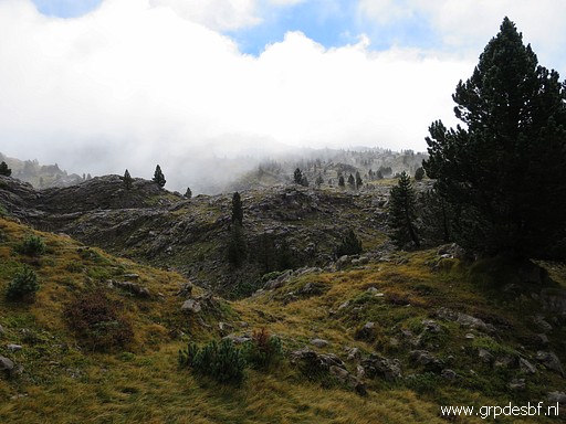 | with some sunshine in between. (click photo to enlarge) |
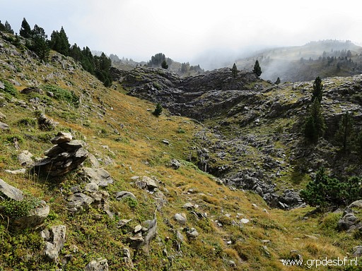 | Sometimes there are cairns. You can see that I will cross another rocky part. (click photo to enlarge) |
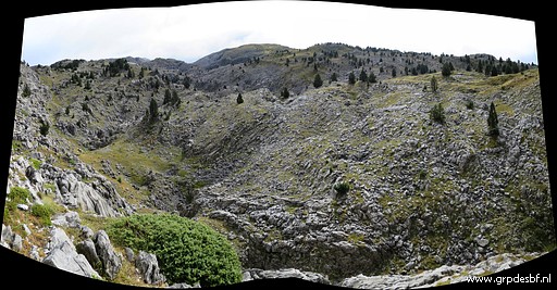 | This picture: approaching the hillridge (in the distance) which climbs to bm271. (click photo to enlarge) |
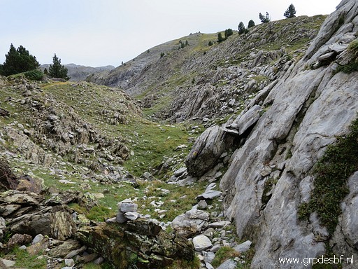 | Another picture of the terrain to cross and (click photo to enlarge) |
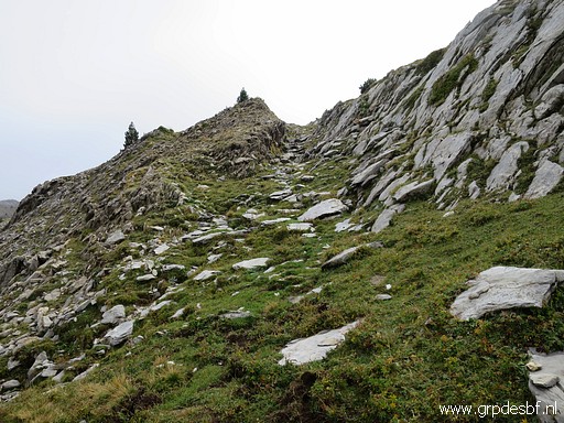 | a picture of the climb to the final hillridge. (click photo to enlarge) |
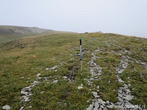 | This picture: I am on the broad hillridge which climbs gradually to bm271. This is waypoint 7. But at this point I stop. It's getting a bit too late and the fog keeps drifting in from time to time. It took me 2,5h to get here. It's another 1,25km to bm271 and 175m to climb. That should take approximately 30 minutes. The remaining part to bm271 seems obvious and easy enough. (click photo to enlarge) |
 |
Moreover I traversed a part of that upper hillridge on 29-8-2012 in the opposite way. Let's combine both tracks on one map: |
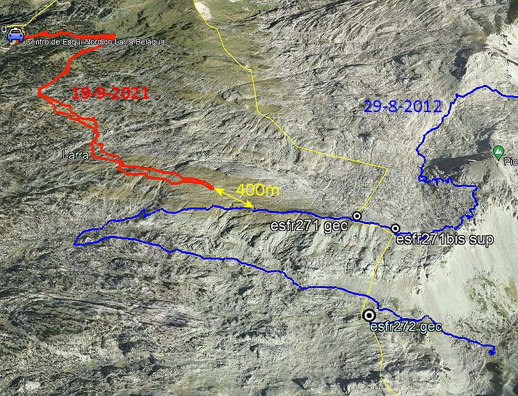 Conclusion: my reconnaissance is sufficient enough. It proves that the route of today is an easier approach to bm271 than the classic route. It will take ± 3 to 3,5h to get there from parking La Contienda. But you need a gps-device or smartphone to navigate through the terrain by lack of a continuous physical trail or cairns-waymarking. |
|
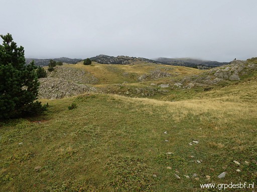 | I return, crosssing again large grassy parts (click photo to enlarge) |
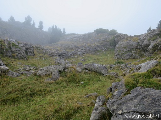 | and rocky terrain (click photo to enlarge) |
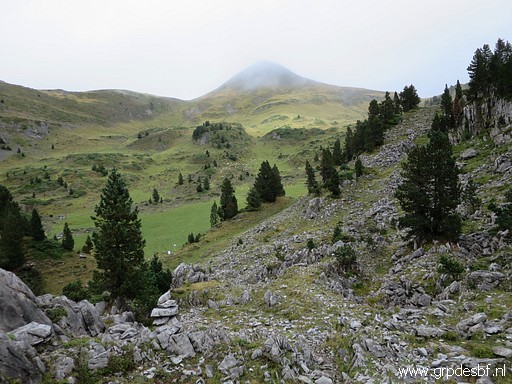 | to return at the circular field. In the background the Pic d'Arlás. (click photo to enlarge) |
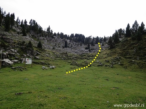 | Back at the circular field. This picture: another view of where to acces the trail to bm271: at the south side of the circular field, next to the information panel. (click photo to enlarge) |
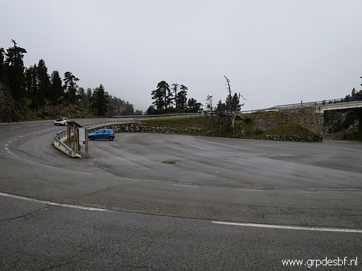 | Back at the parking and back to the camping. Last trip of this holiday which has been productive and satisfying. I'm content. (click photo to enlarge) |
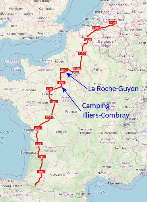 |
The next day, I will drive back home in two days, staying overnight at a camping in Illiers-Combray. |
 |
Near Paris, I visit an exposition in de very scenic castle of La Roche-Guyon. The subject is "Frontières : entre histoires et géographes". |
 previous
trip
next
trip previous
trip
next
trip 
| |
