|
The
bordermarkers of the Pyrenees : all my trips
 |
|
| -
wednesday 9 september
2020 - Doing 256-269 |
 |
 |
Summary:
part of a series of 6 daytrips and 1 multiday trip in september 2020 in
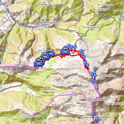
the Pyrénées Atlantiques. This is trip 5. Today: the main part of today is a hike along bm260 to 269. I finish by visiting bm256-259 by car. Basecamp = camping in Arette Weather: splendid but strong winds on the hills. |
 track-20200909.kml
(click to open this trip in Google Earth or copy link to Google Maps; click right on this link to download gpx-version). The gps-track has not been manually corrected which explains the inaccuracy and misalignment at some points. For cartographic backgrounds: see the cartography-page Gps-waypoints of all bordermarkers (most recent version): kml: esfr-bordermarkers-all-waypoints.kml gpx: esfr-bordermarkers-all-waypoints.gpx (with elevation added by gpsvisualizer.com) |
|
 |
According to Garmin
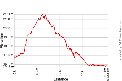
Basecamp (uncorrected track): Distance: 20,6 km Max-height: 2161m Min-height:1572m Elevation: +963m -1061m Total elevation: 2024m Start 8:11 Finish 16:57 Total time: 8:47 |
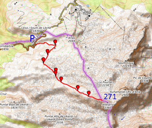
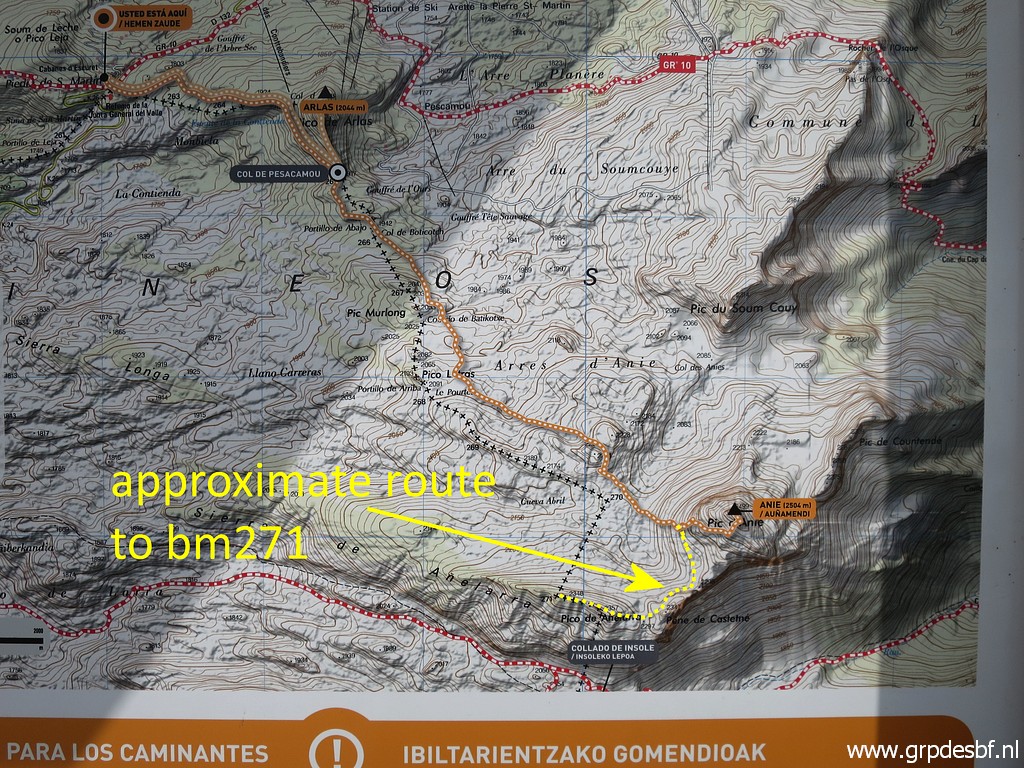
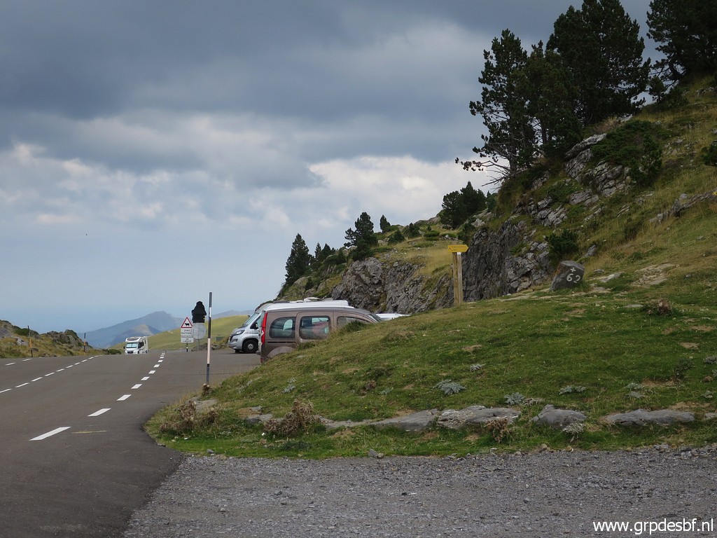
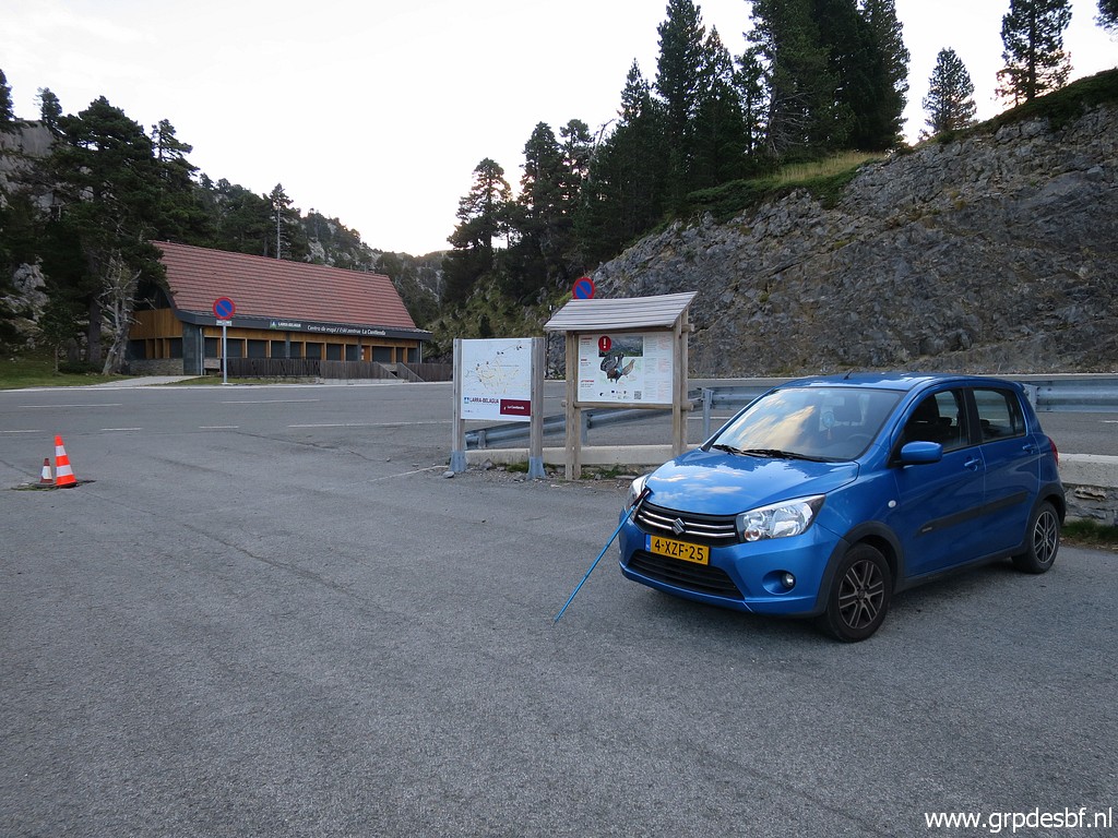 | Early start at 8:15 at a parking (La Contienda) in Spain. This seems the best starting point for a reconnaissance of an alternatieve route to bm271. Why? A few days earlier, Carlos & Conchita Roc and me tried to reach bm271 following the classical trail to Pic d'Anie. But it got too late, the rocky terrain seriously reducing our speed. At 12:15 we decided to return. Continuing to bm271 would have taken us an extra hour at least. (click photo to enlarge) |
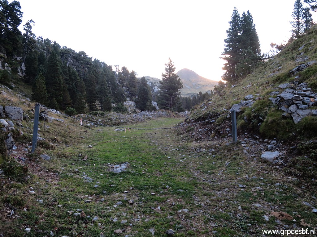 |
Well, back to today. From the parking of La Contienda I walk E into a maze of cross-countrys skiing-trails (I suppose). In the background the Pic d'Arlas. (click photo to enlarge) |
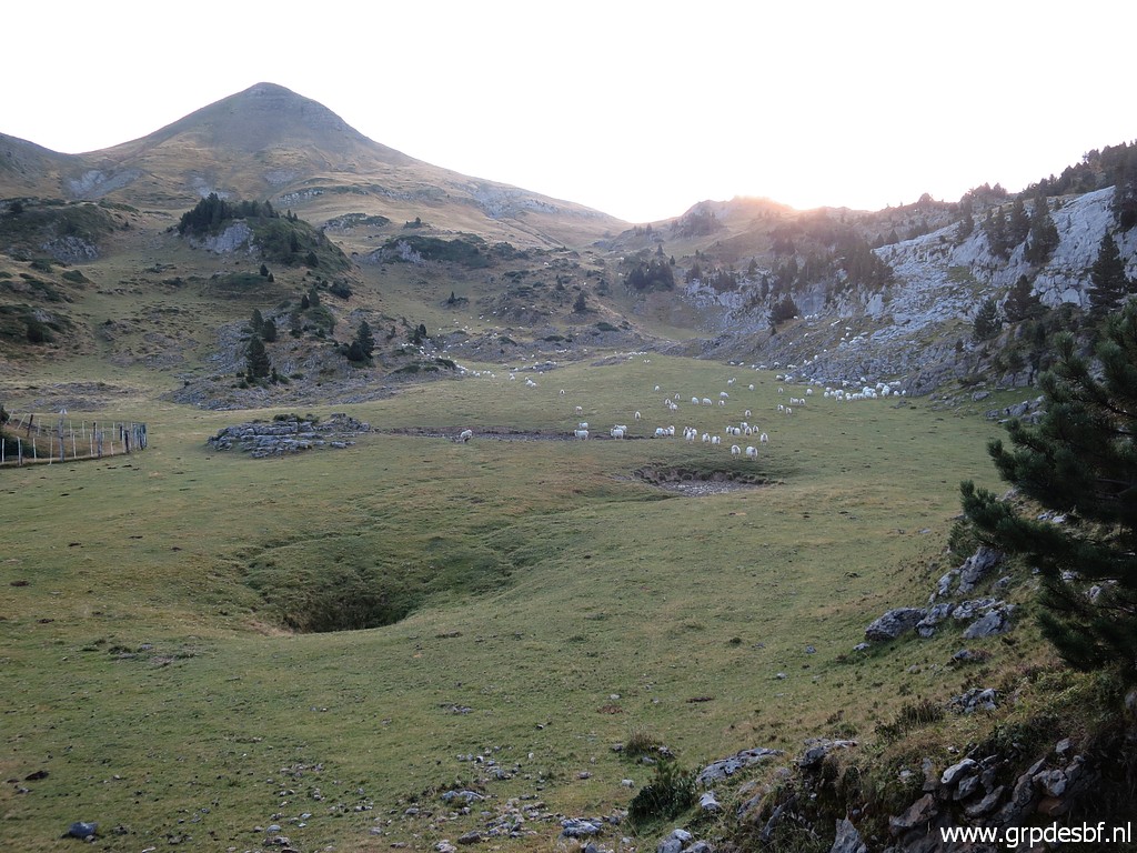 |
I arrive at at a large grazing area. In the background Pic d'Arlas and to the right of it Col de Pescamou with bm265. From this large field the maps show a route towards bm271. (click photo to enlarge) |
 |
This picture: I think it's this direction for that route. I try it for a while but there's no trail and there are no cairns or other waymarks. I give up soon. (click photo to enlarge) |
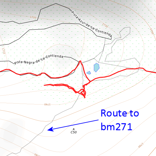 |
But afterwards I discovered that I tried in the wrong direction. This map proves it. A missed chance because much later I realized that that alternatieve route to bm271 is really worthwhile to try. |
Let's look at that alternative route on this map (the OSM-based 4UMaps, great in showing trails)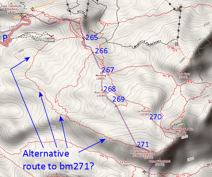 We see a route going to bm271 but that doesn't mean necessarily that there is a physical track or that the route is waymarked by cairns for example. It says only that at least someone had done this route and taken the effort to add it to Openstreetmaps. But we have another source for detecting trails and routes: that is Topopirineos, a map which can only be used in Garmin Basecamp or Qmapshack. Let's give an image of Topopirineos of the same terrain: 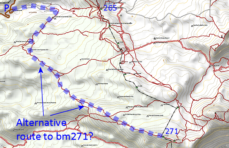 We see more trails but we find back in general the same route as on the first map. If I combine these two routes and finetune them on Google Earth, I get this route (the red one). Also on the map the 'classical route' which Carlos & Conchita and me tried on 5-9-2020. 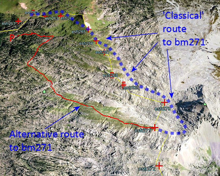 You can download the kml-track (Google Earth) of the alternative routen with this link (gpx-file with this link). The 'classical route' can be downloaded with this link. But what is the difference between these two routes (but remember, the alternative route not yet being tested): - classical route: 6,8km, pos. elevation 707m, neg. elevation 164m - alternative route: 5,8km, pos. evelevation 673m, neg. elevation 48m Not much difference in distance and elevation. But the alternative route has a large advantage, so it seems. It is almost completely on green (grassy) underground. Whereas the classical route traverses almost half of it rocky and speed-slowing terrain. But the classical route has the advantage of being a waymarked trail and being popular: if you get in trouble, people will be nearby. |
|
 |
Most probably the alternative route is no physical trail and probably
not waymarked with cairns. Still navigation shouldn't be difficult (studying Google Earth) if you navigate from one waypoint to another on a total of 8 waypoints. Those waypoinsts are integrated in this link (gpx-file with this link) of the alternative route. I can't wait to try it. |
 | Anyway, I give up soon and continue in the direction of Col de Pescamou (bm265). (click photo to enlarge) |
 | But I skip bm265 to 267 to do first bm268 and 269. (click photo to enlarge) |
 | From my route I spot (click photo to enlarge) |
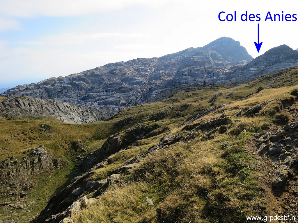
 | the HR-route (note the signpost) towards Col des Anies. (click photo to enlarge) |
 | At one point, you I see uphill to my right (click photo to enlarge) |
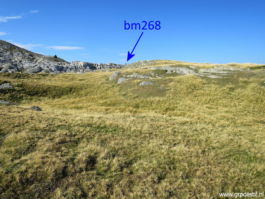 | bm268, it's an easy climb on the grass. (click photo to enlarge) |
 | Bm268 (click photo to enlarge) |
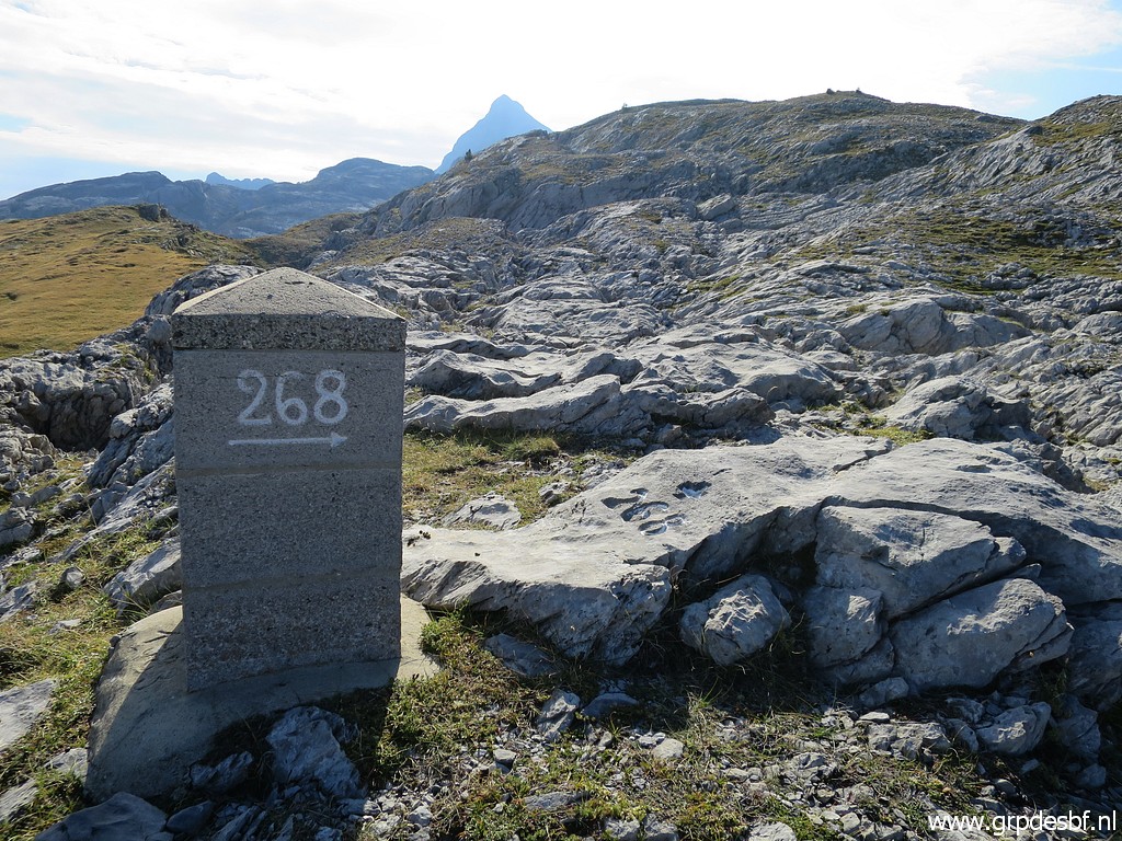 | Bm268 (click photo to enlarge) |
 | Bm268 (click photo to enlarge) |
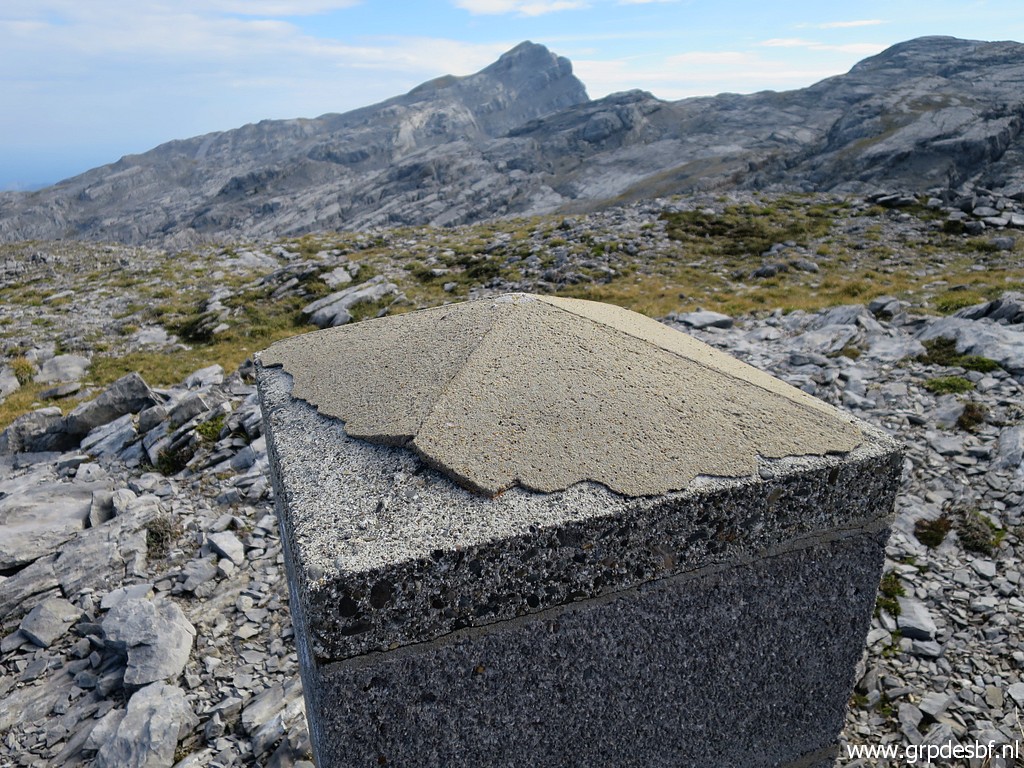
 | Bm268, apparently the pillar was placed in 1983. (click photo to enlarge) |
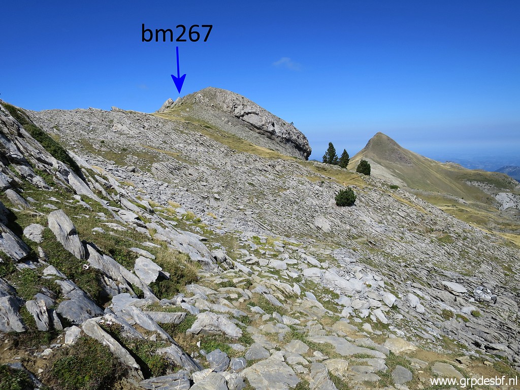
 | Bm268, in the far distance the Pic d'Arlas again, to the left the Pic de Murlong where bm267 can be found. (click photo to enlarge) |
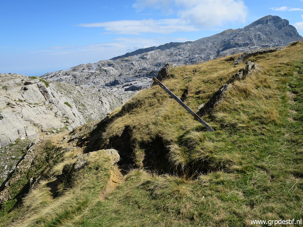
 | From bm268 I proceed directly - using my gps - to bm269 but my route is blocked by a deep crevass. I return to bm268 to find another route. And that is this one: along the north-side of the rock-plateau for ± 100m (click photo to enlarge) |
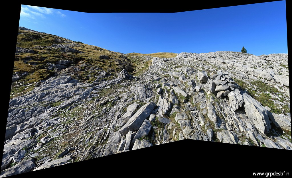
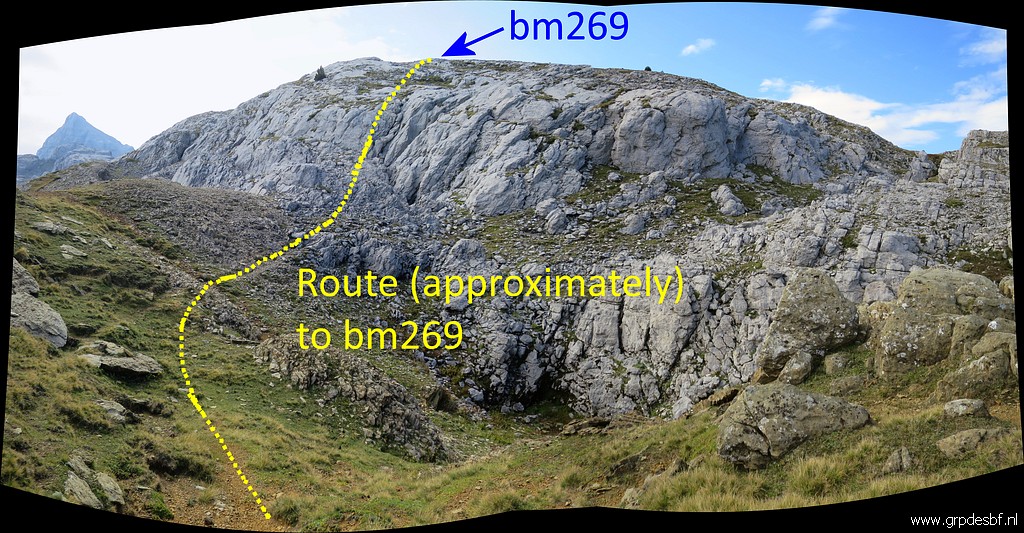 | and then climbing up the rocky plateau. (click photo to enlarge) |
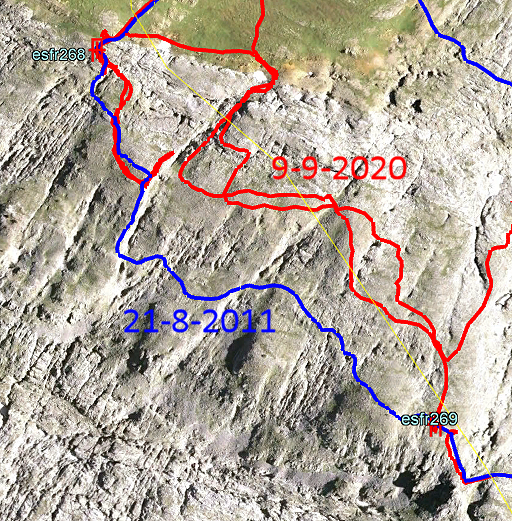 |
But in 2011 I found another route to bypasse the deep crevass. |
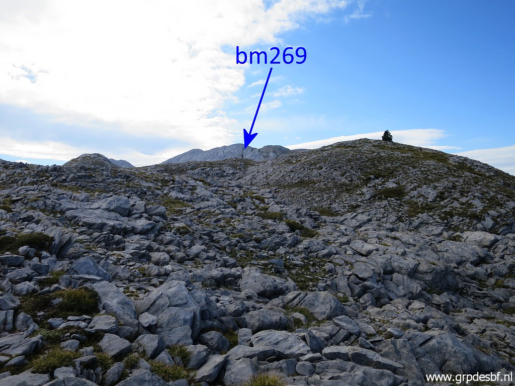 | Bm269 is then ± 250m further. (click photo to enlarge) |
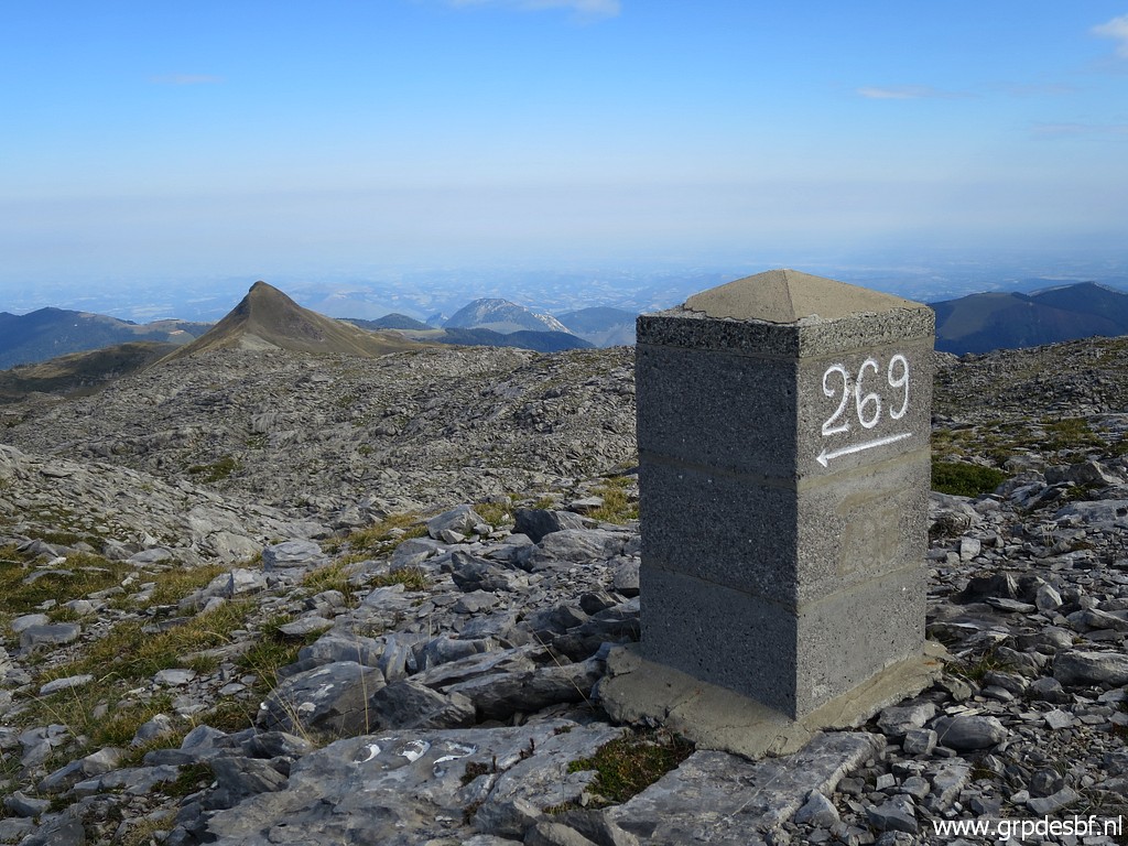
 | Bm269, in the background the Añelarra-ridge upon which bm271 is located. (click photo to enlarge) |
 | Bm269 (click photo to enlarge) |
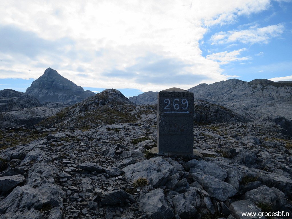 | Bm269, in the background the Pic d'Anie. (click photo to enlarge) |
 | Bm269 (click photo to enlarge) |
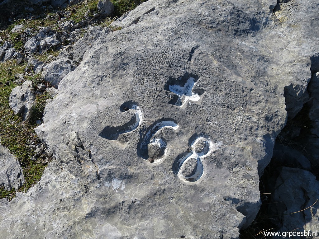
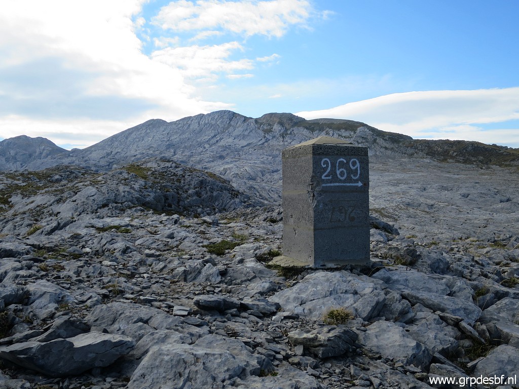
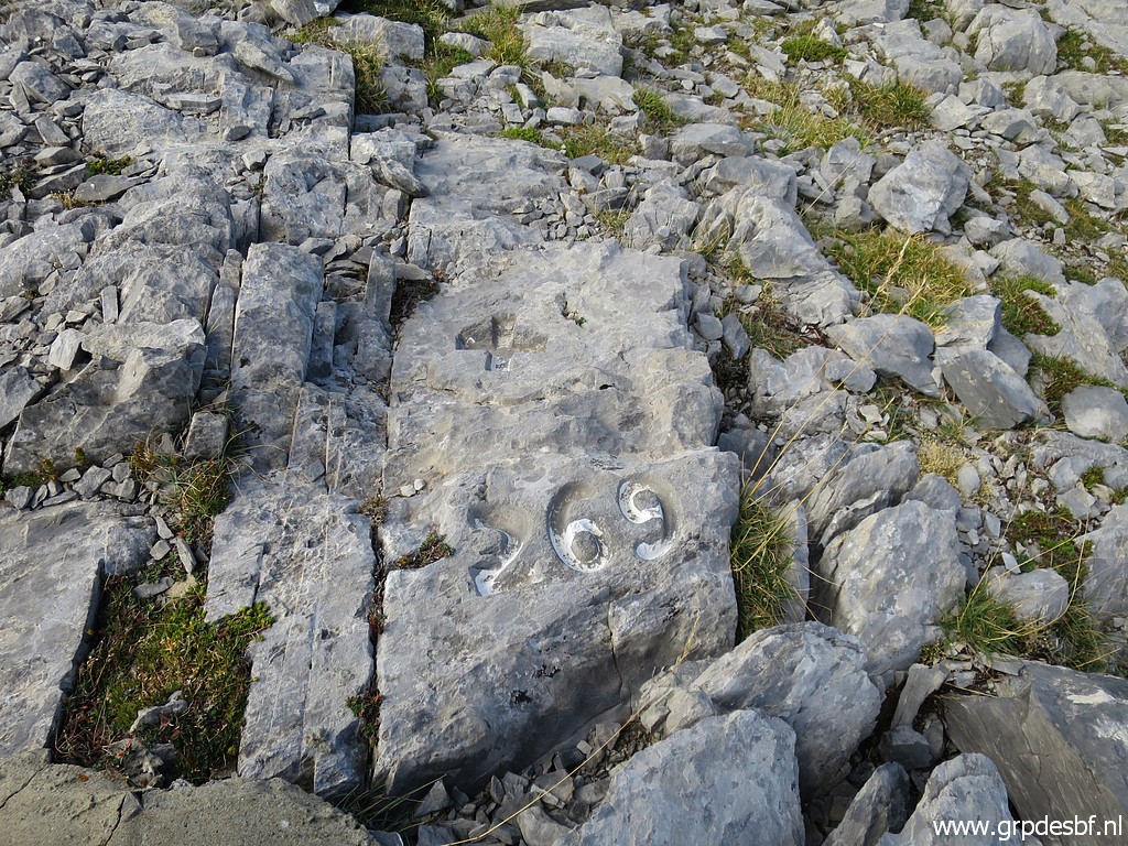
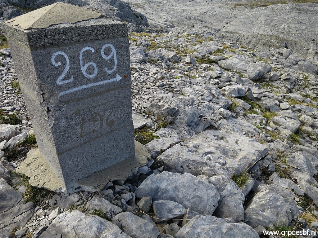
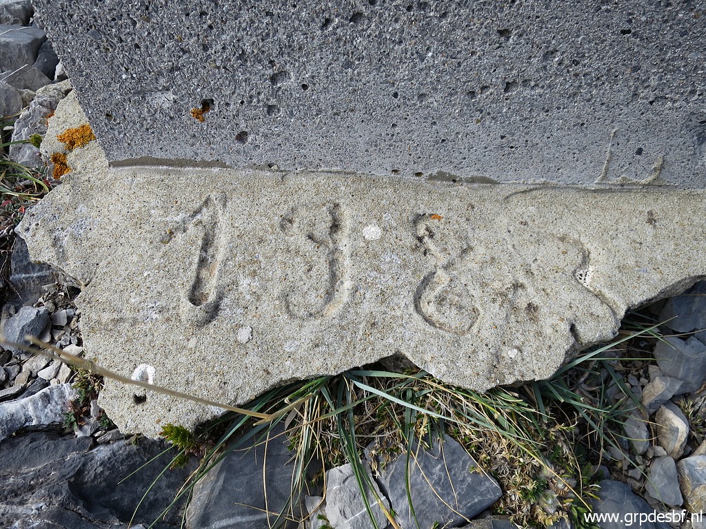
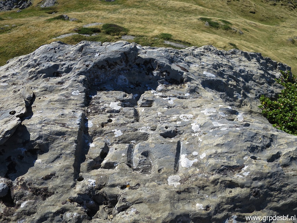
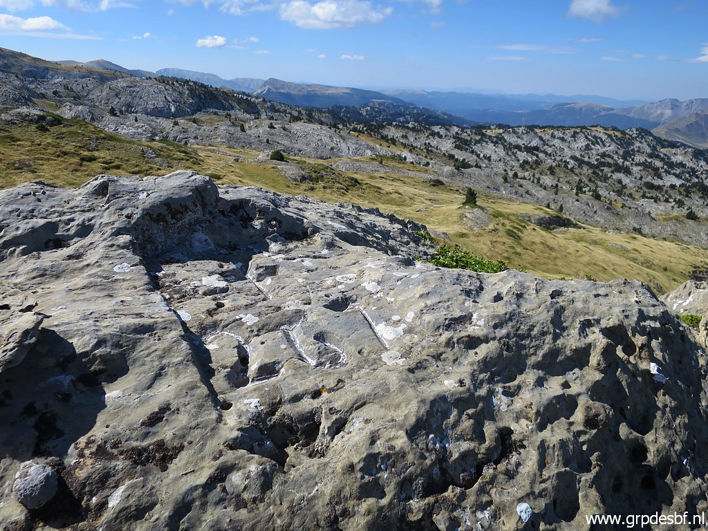
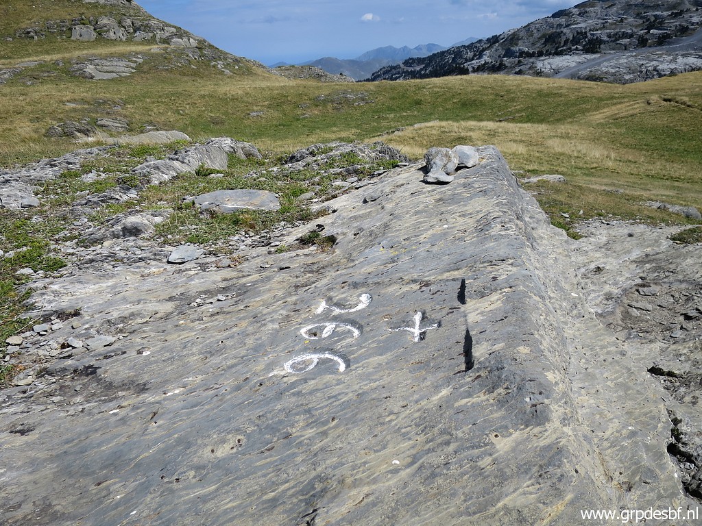
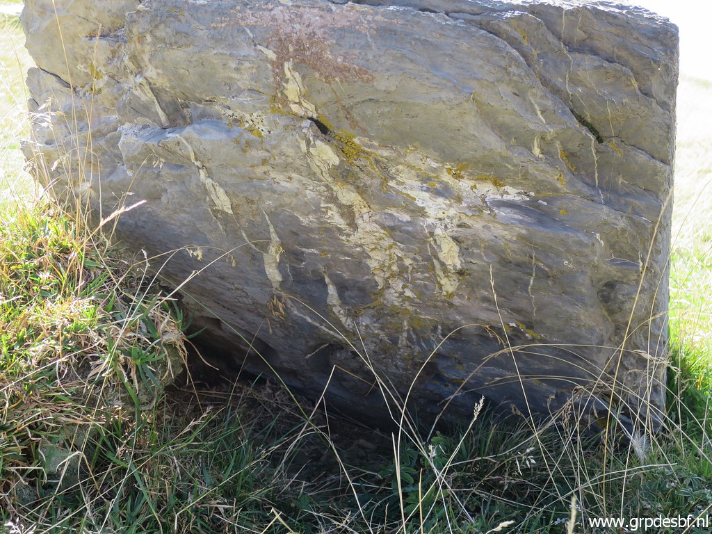
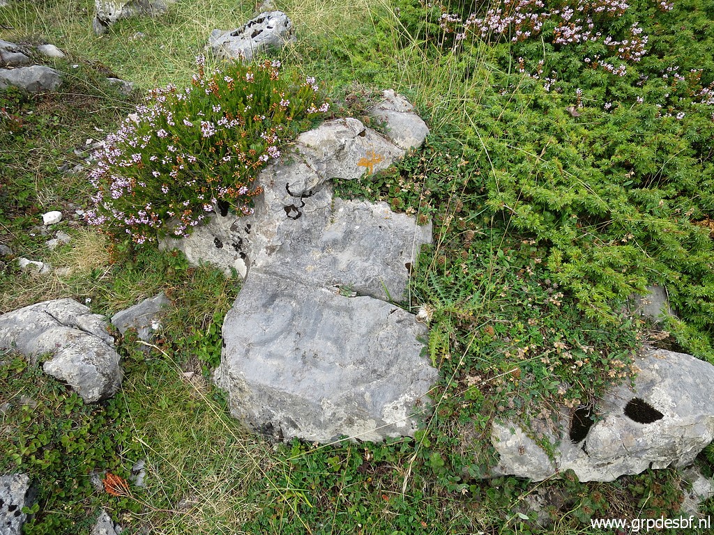
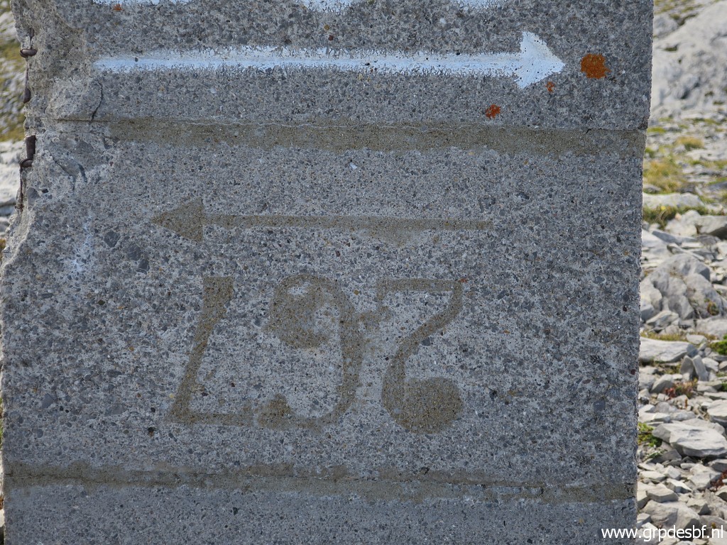 | Bm269. This is strange: the middle block shows "267". It suggests that originally there was also a bm267-pillar planned besides the 267-cross. (click photo to enlarge) |
 | Bm269, in the background the Pic d'Arlas. (click photo to enlarge) |
 | Bm269 (click photo to enlarge) |
 | Bm269 (click photo to enlarge) |
 | Bm269 (click photo to enlarge) |
 | Bm269, year of construction apparently 1983. (click photo to enlarge) |
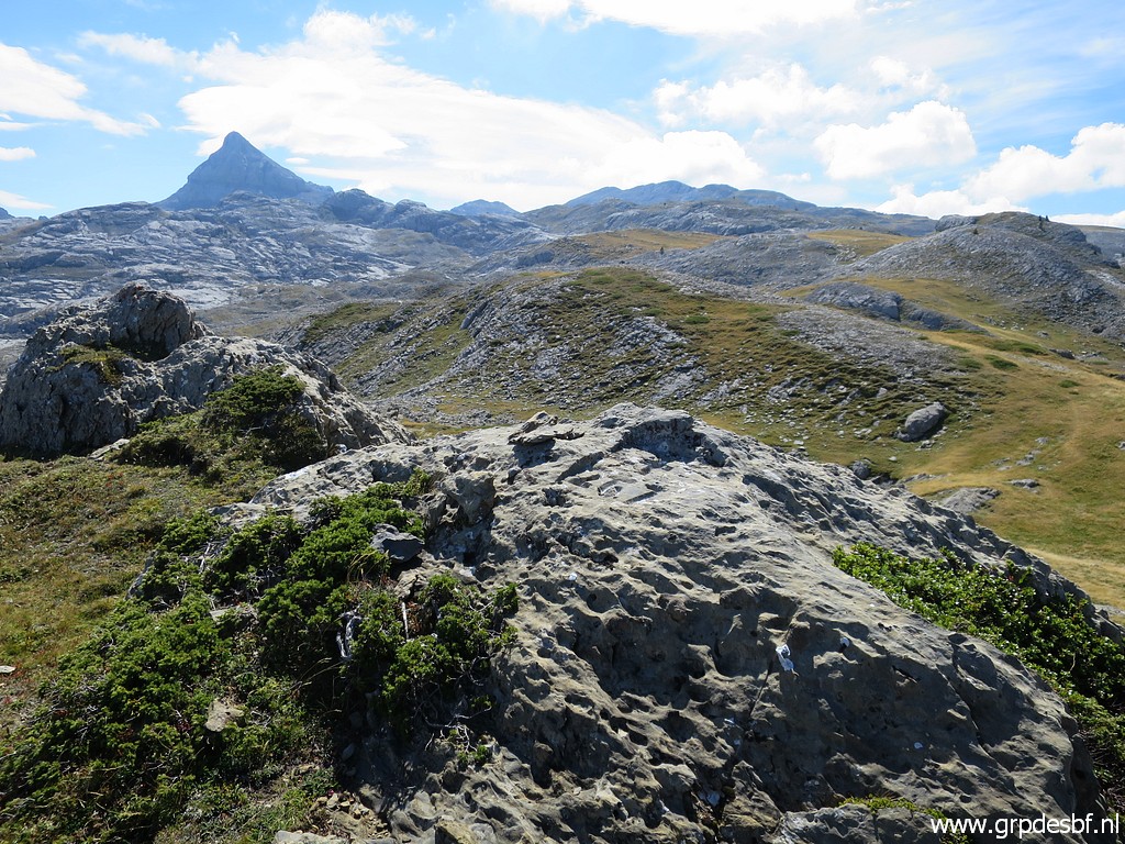
 | On the osm-maps, there is trail which connects bm269 with the trail towards Pic d'Anie. This picture: Pic d'Anie is the sharp pic in the middle. (click photo to enlarge) |
 | I try to follow that track but get blocked by this deep and broad crevass. (click photo to enlarge) |
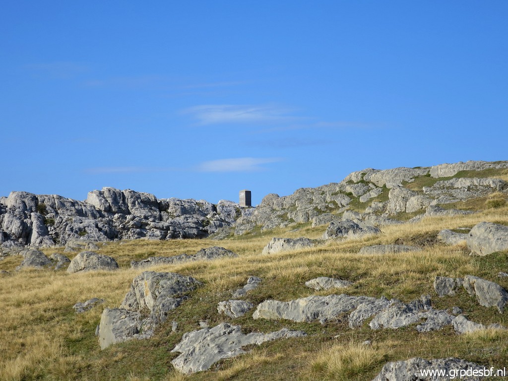
 | So I curve back to the hilltop (click photo to enlarge) |
 | where bm269 is placed (click photo to enlarge) |
 | and back to the main trail between Col de la Pierre St-Martin and Pic d'Anie. This picture: this is where the HRP-trail forks from that main trail and descends in a crevass to continue in 2km to Col des Anies. In fact that's an alternative approach to Pic d'Anie (and bm271). From Col des Anies you can either descend NE into the valley or continue S to Pic d'Anie. It's a longer route than de main trail to Pic d'Anie but might be faster on a better-to-walk path. (click photo to enlarge) |
 | The next target is bm267, approached from the south. (click photo to enlarge) |
 | Climbing the hill from the S-side is easy, in fact the easiest way to get to bm267. (click photo to enlarge) |
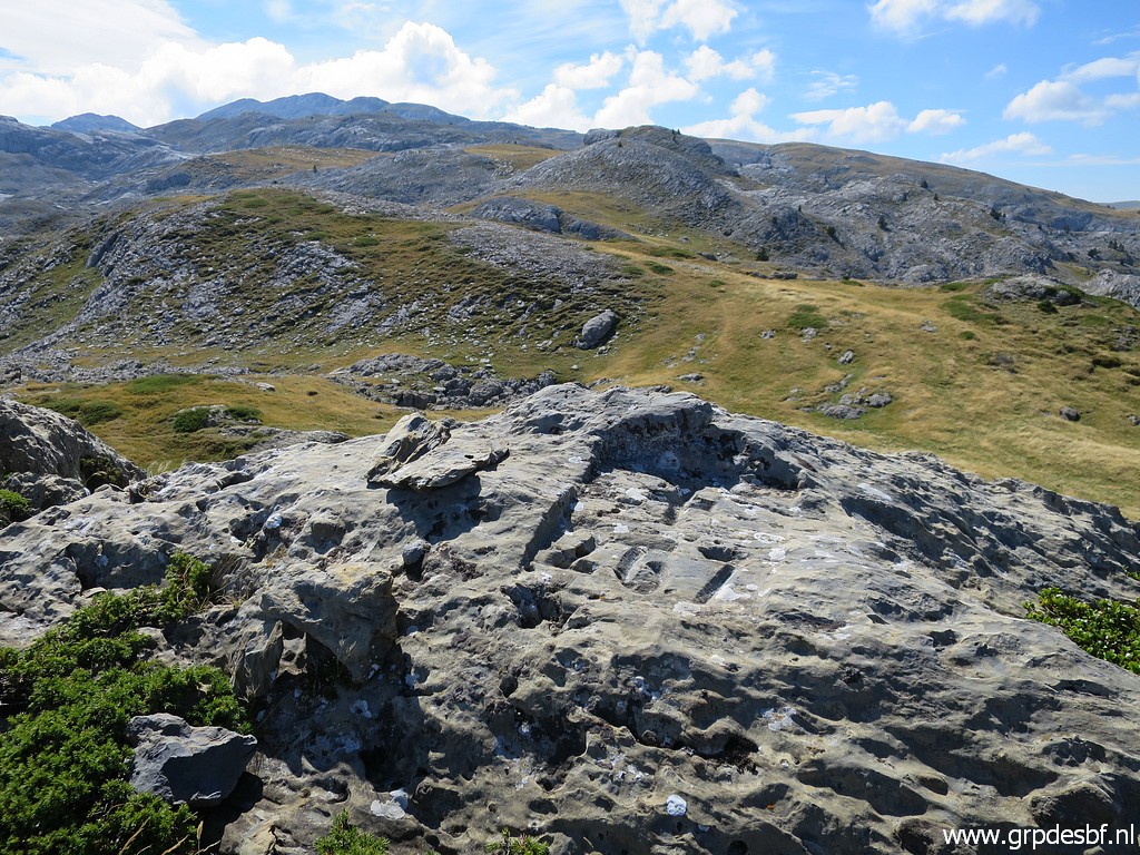 | Bm267, in the far distance the Añelarra-ridge. (click photo to enlarge) |
 | Bm267 (click photo to enlarge) |
 | Bm267 with Pic d'Anie and the Añelarra-ridge at the horizon. (click photo to enlarge) |
 | Bm267 (click photo to enlarge) |
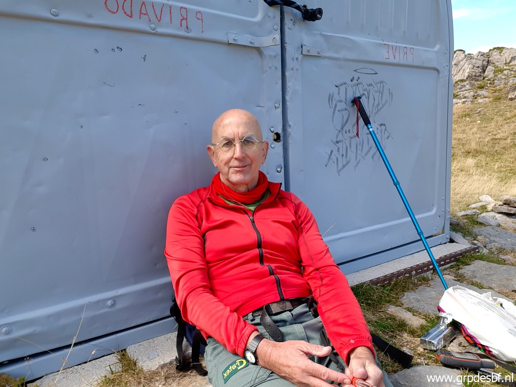 | Descending back to the main trail and heading to bm266. In between a lunch break against a metal shed. (click photo to enlarge) |
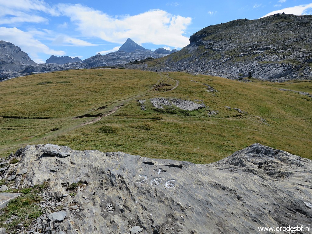 | Then: bm266. In the background Pic d'Anie. (click photo to enlarge) |
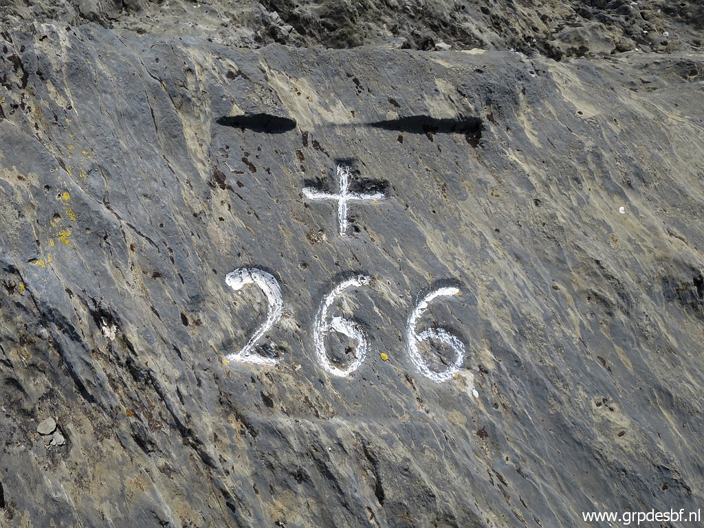 | Bm266 (click photo to enlarge) |
 | Bm266 (click photo to enlarge) |
 | Bm266 with Pic d'Anie and to the right the hilltop of Murlong on which bm267 can be found. (click photo to enlarge) |
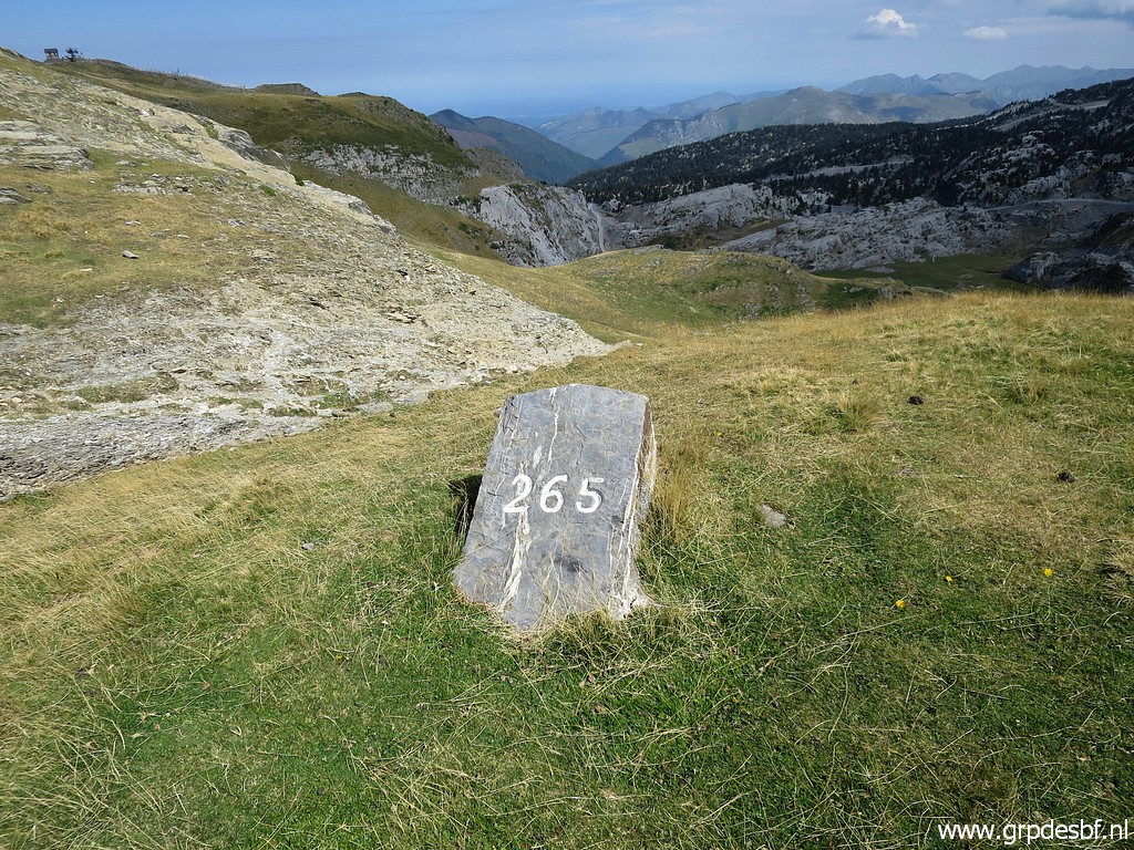 | Continuing to bm265. (click photo to enlarge) |
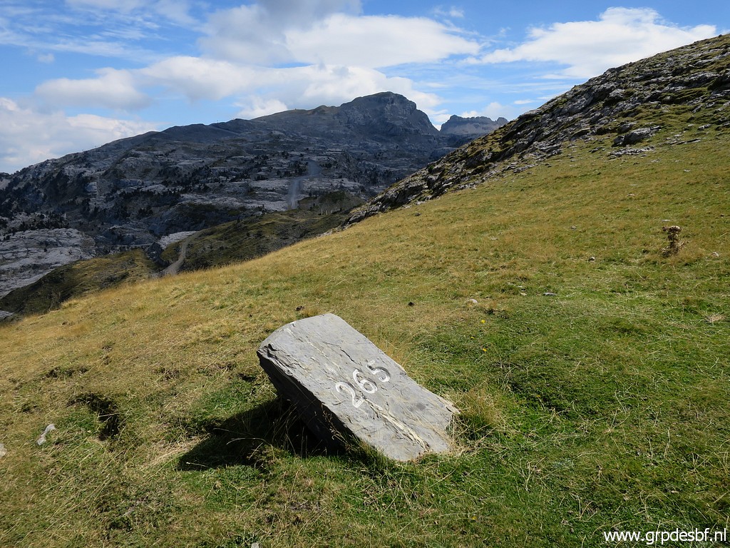 | Bm265 (click photo to enlarge) |
 | Bm265, on the backside also the number 265. (click photo to enlarge) |
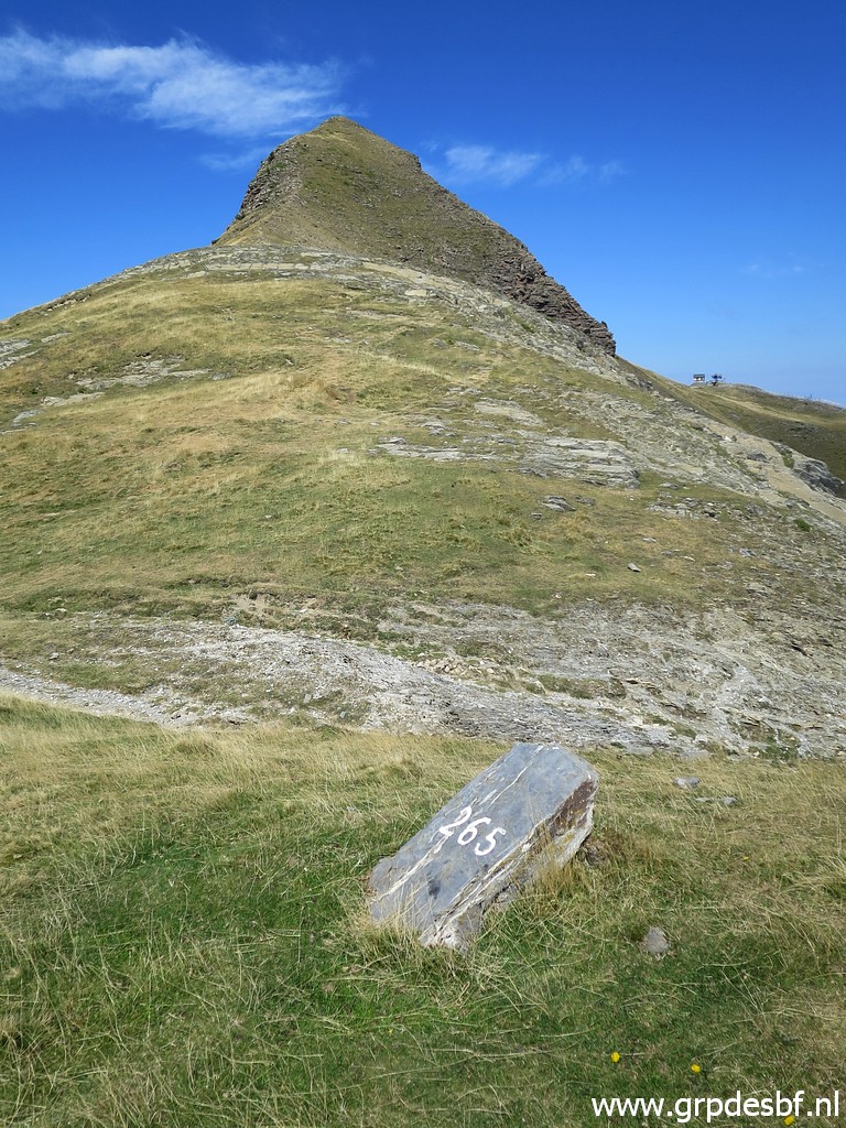 | Bm265, the Pic d'Arlas in the background. (click photo to enlarge) |
 | Then along the SE-side of Pic d'Arlas (click photo to enlarge) |
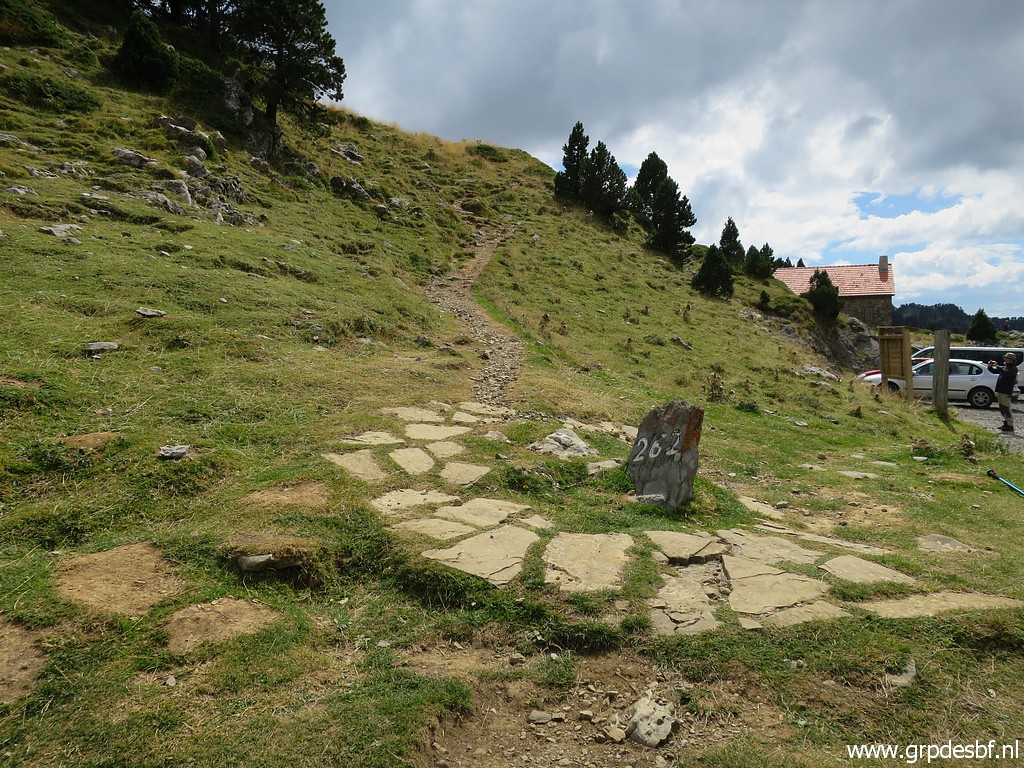
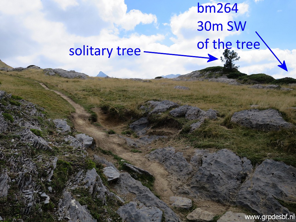 | to bm264. The solitary tree as a landmark from 10 years ago, still exist. (click photo to enlarge) |
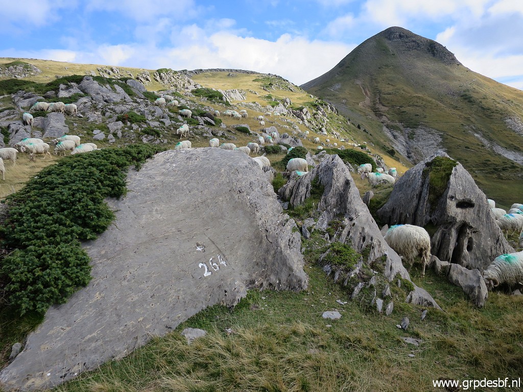 | Bm264 (click photo to enlarge) |
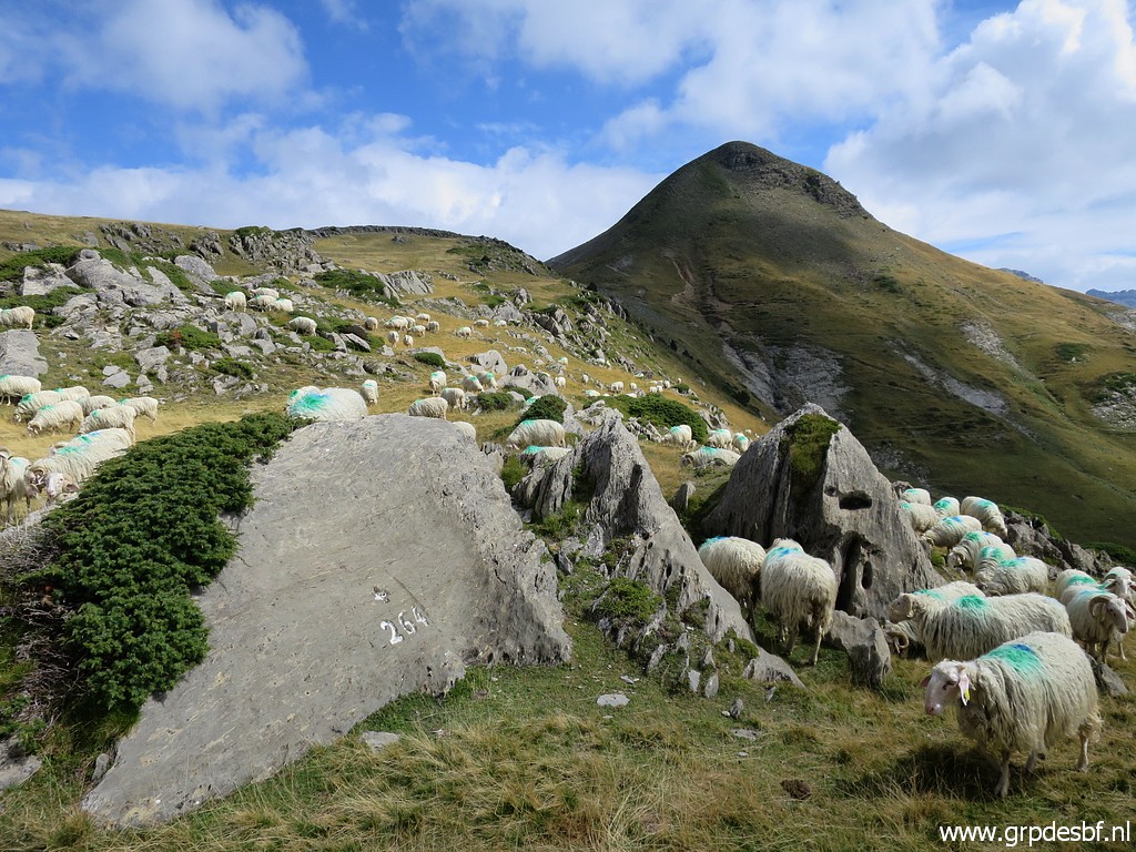 | Bm264, the Pic d'Arlas in the background. (click photo to enlarge) |
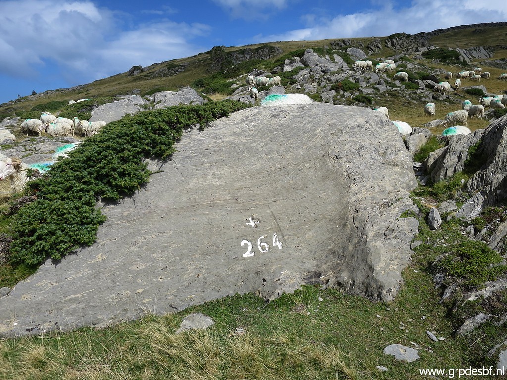 | Bm264 (click photo to enlarge) |
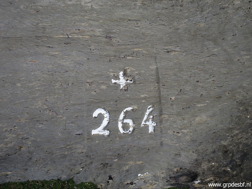 | Bm264 (click photo to enlarge) |
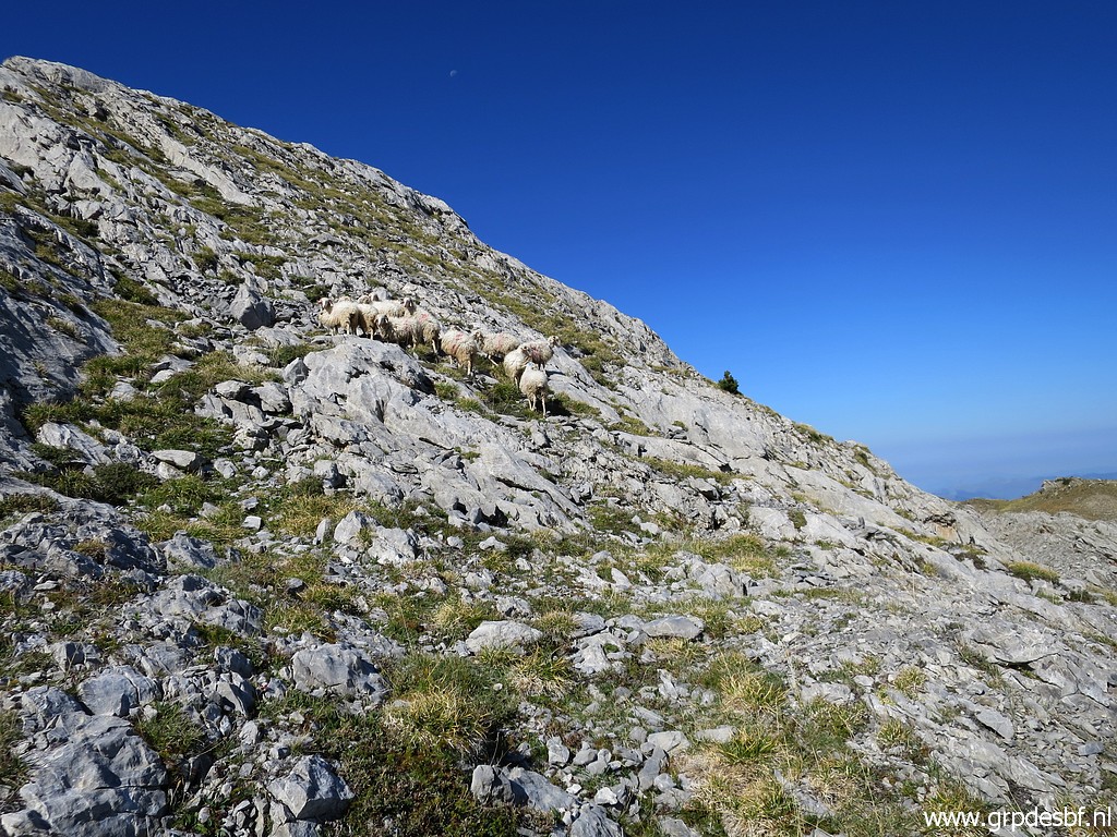
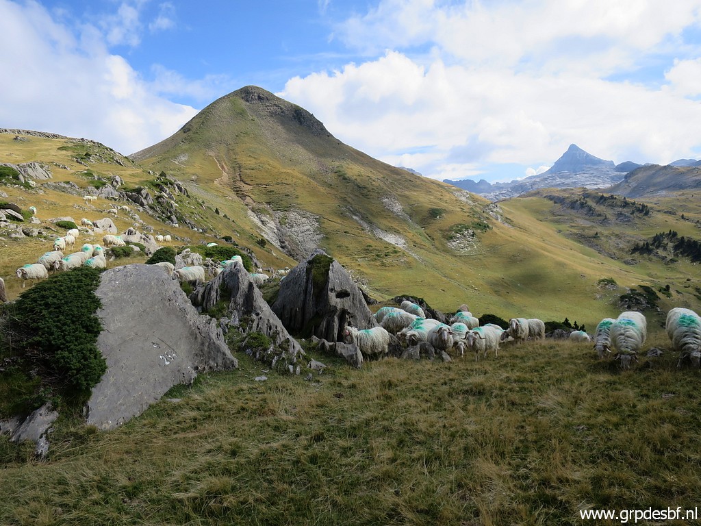 | Bm264 The passing flock of sheep make it (click photo to enlarge) |
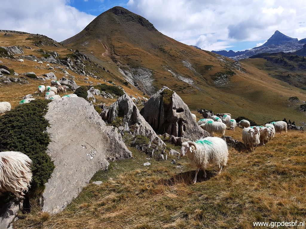 | scenic pictures. (click photo to enlarge) |
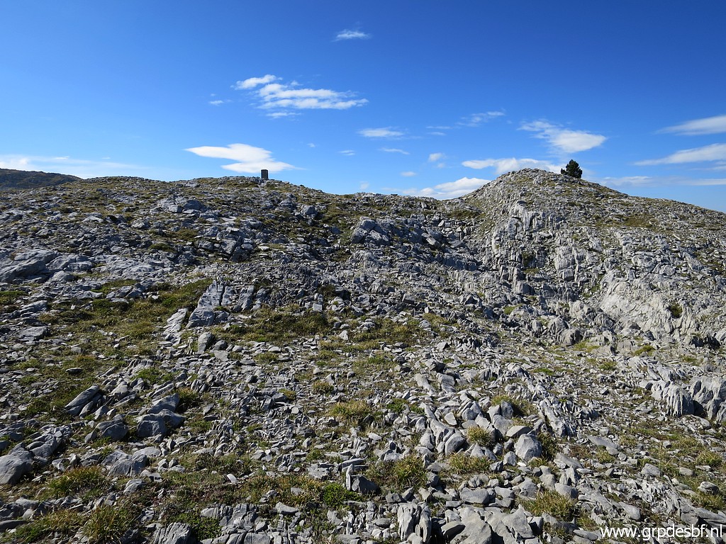
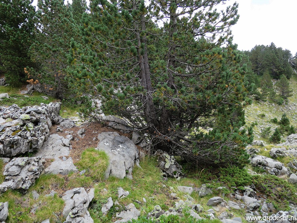
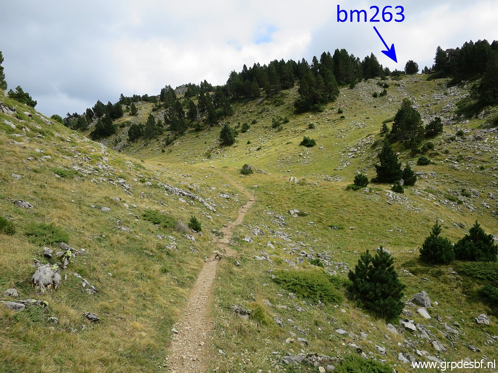
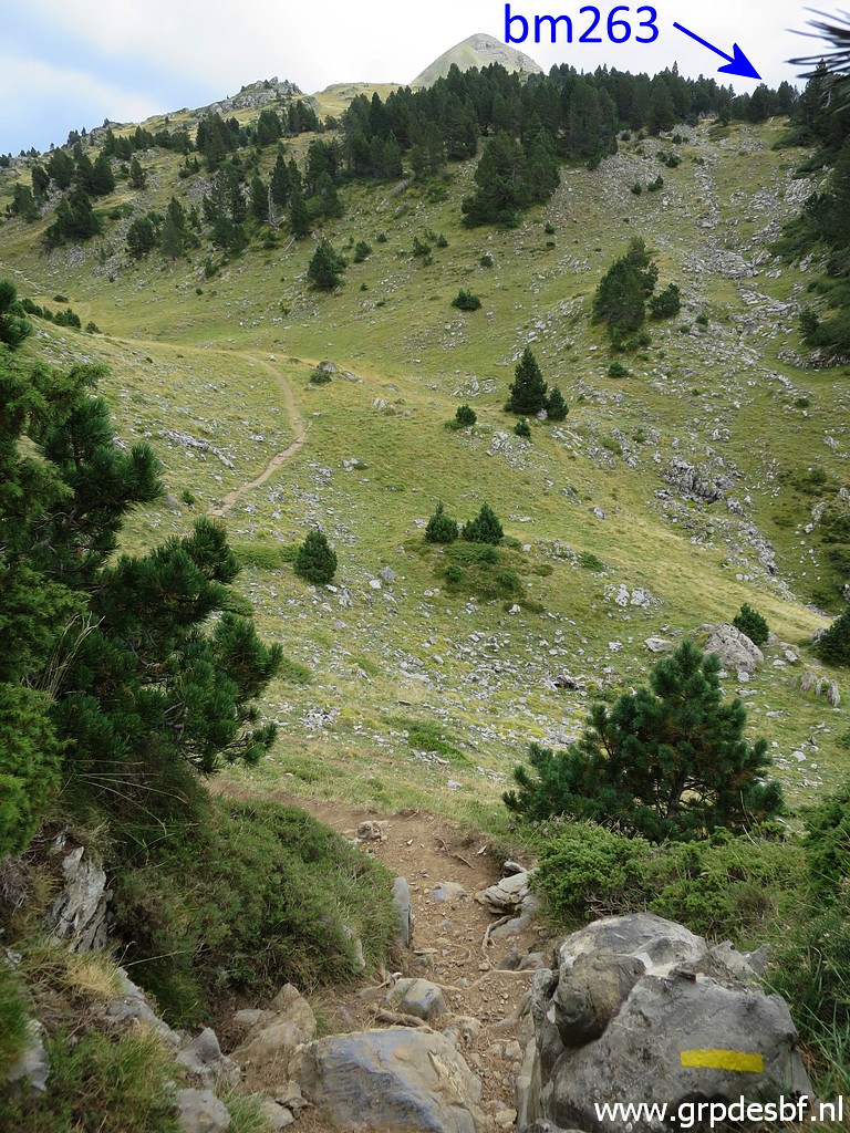
 | Back to the trail and further arriving in this 'green valley'. About 100m to the SW in the valley, I climb (using my gps) to (click photo to enlarge) |
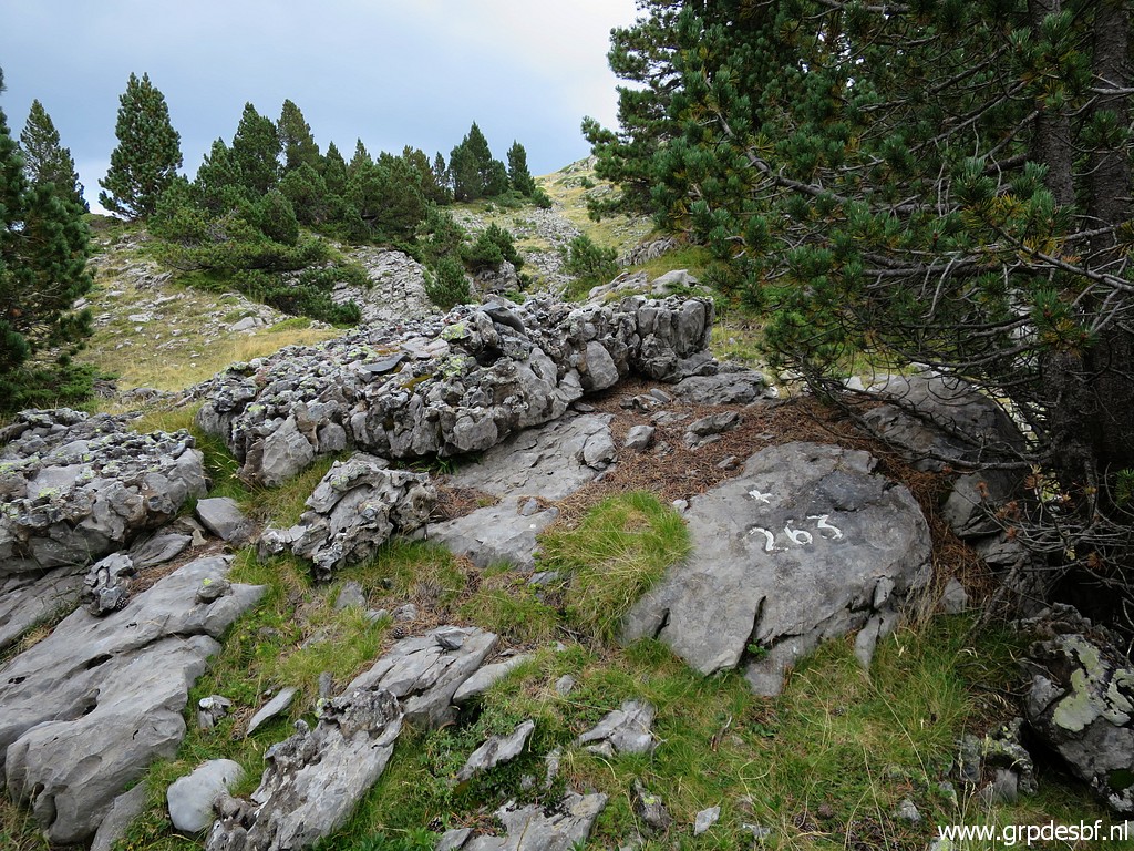 | bm263. (click photo to enlarge) |
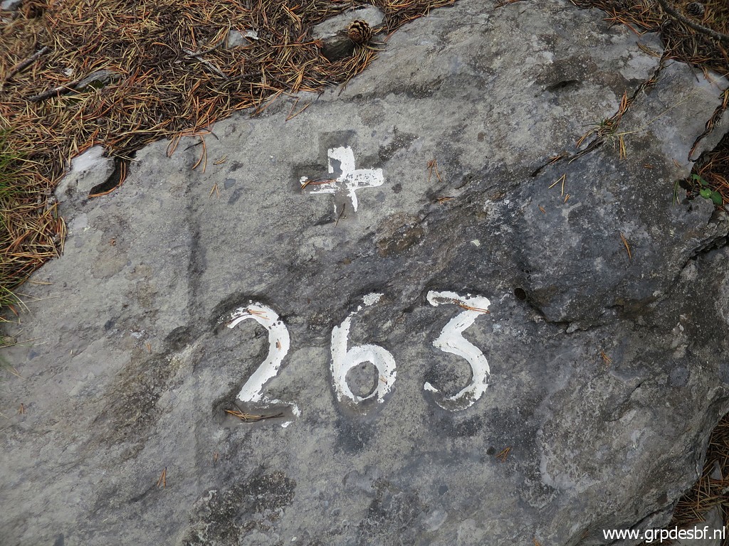 | Bm263 (click photo to enlarge) |
 | Bm263 (click photo to enlarge) |
 | Bm263 (click photo to enlarge) |
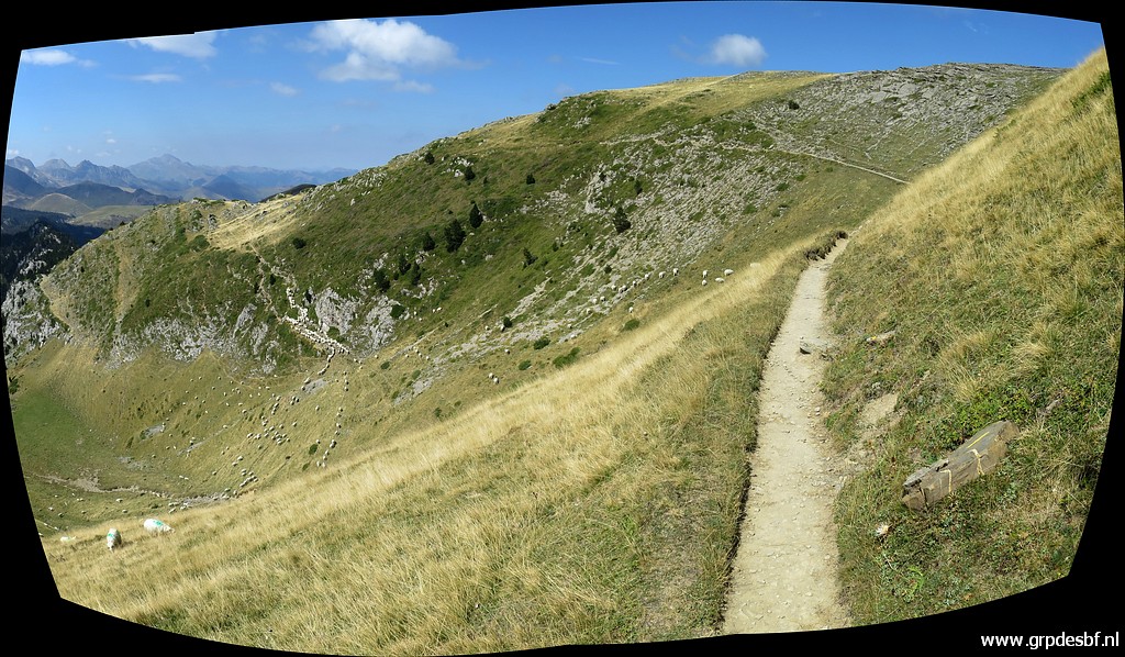
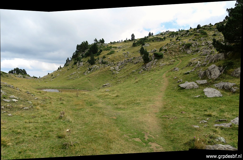
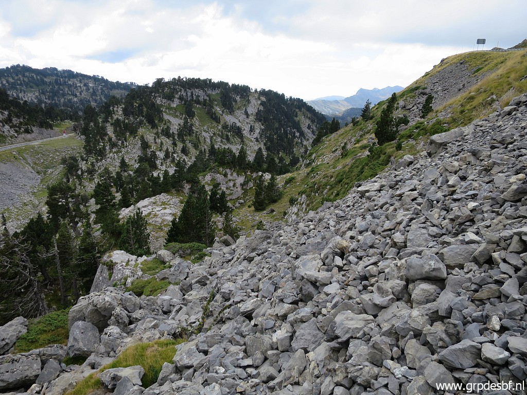
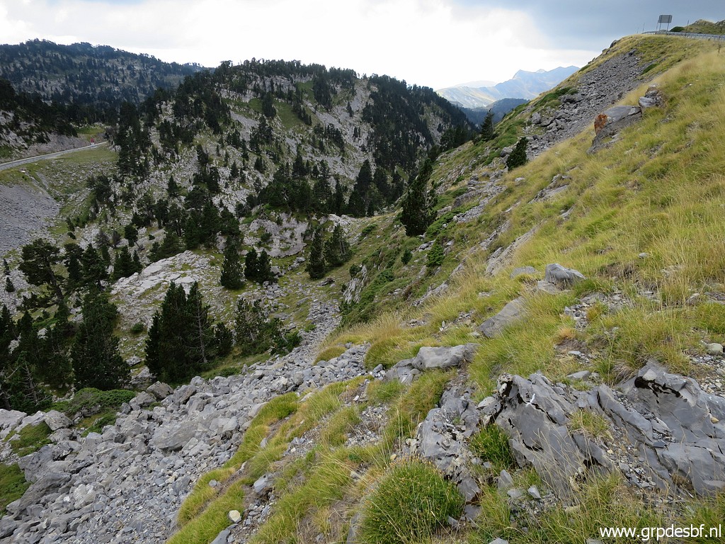
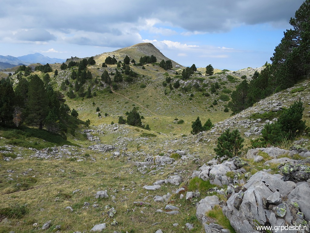 | From bm263, I descend back to the green valley. At the bottom you can see a trail climbing which will bring you in 5 minutes at the Col de la Pierre St-Martin. (click photo to enlarge) |
 | At the bottom of the green valley and looking back. (click photo to enlarge) |
 | Having climbed up the trail and again looking back. (click photo to enlarge) |
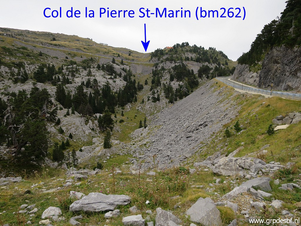
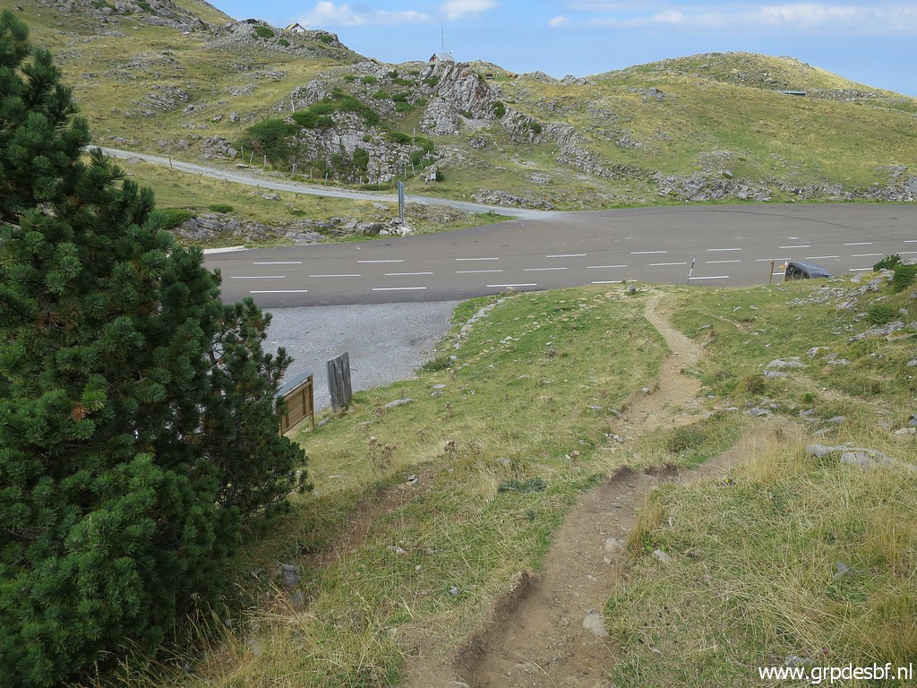 | Arriving at Col de la Pierre St-Martin. (click photo to enlarge) |
 | From Col de la Pierre St-Martin, this is the start of the yellow trail that will bring you in 5 minutes in the 'green valley'. (click photo to enlarge) |
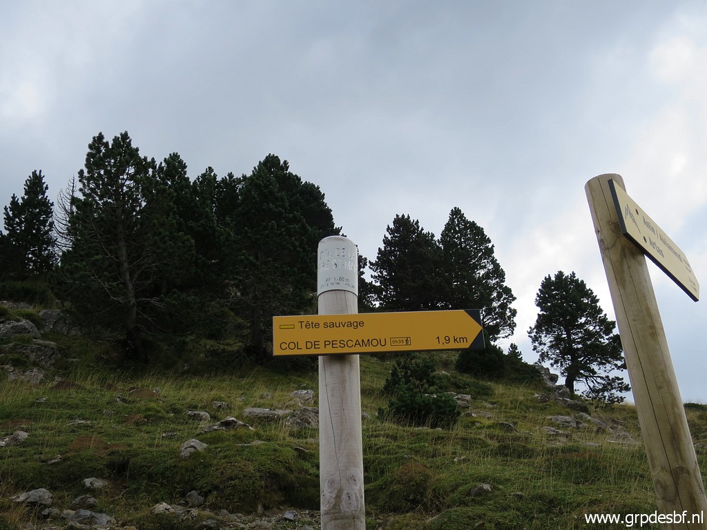 | Signpost: it's 2km to Col de Pescamou (bm265). (click photo to enlarge) |
 | To Pic d'Anie can be done in ± 3 hours. I think that is far too optimistic. (click photo to enlarge) |
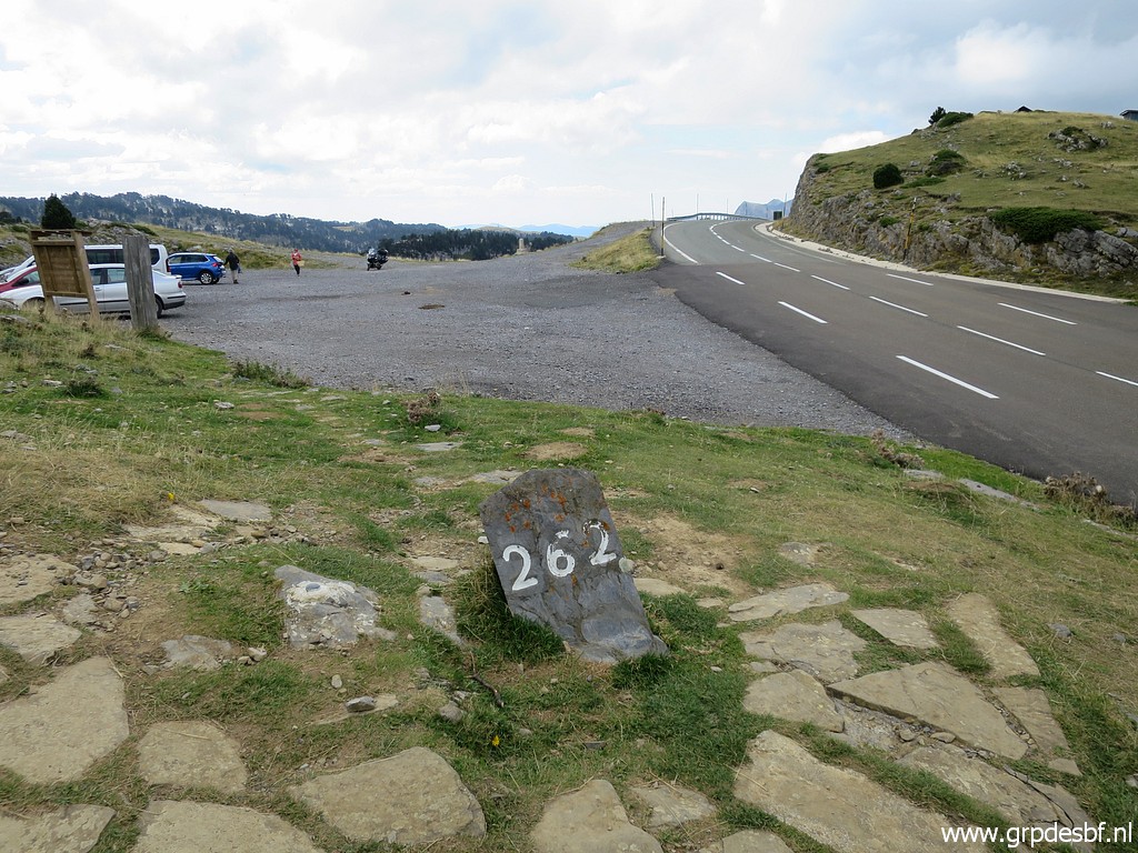 | Bm262 (click photo to enlarge) |
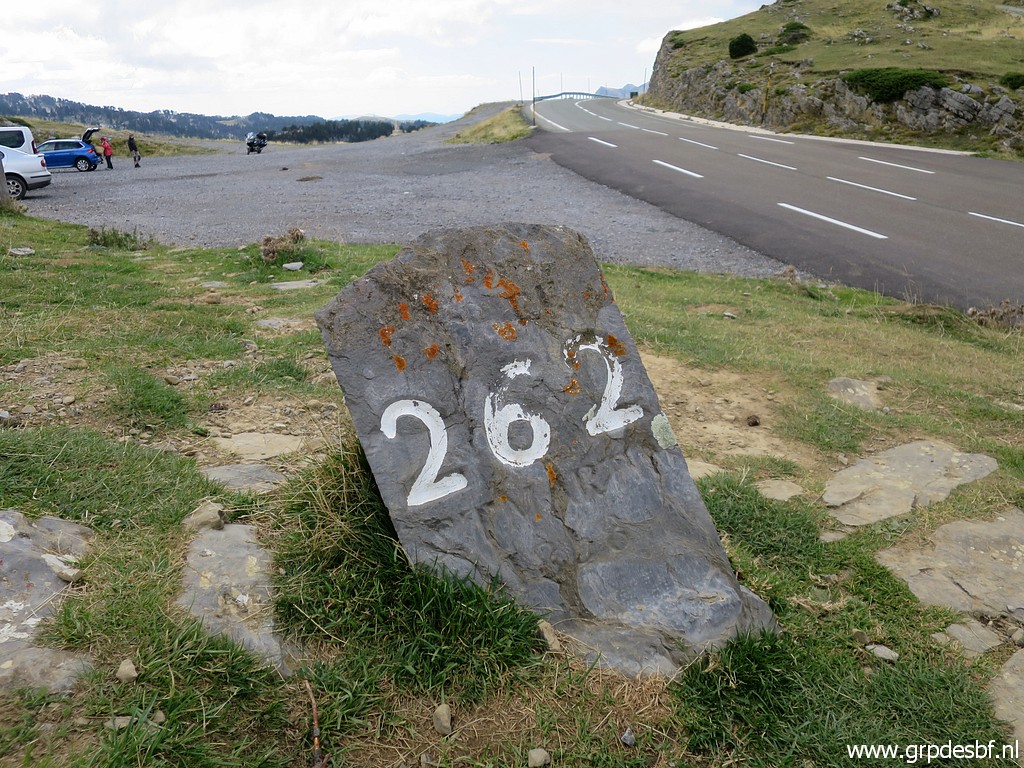 | Bm262 (click photo to enlarge) |
 | Bm262 One wonders if this is the original marker from 1868. (click photo to enlarge) |
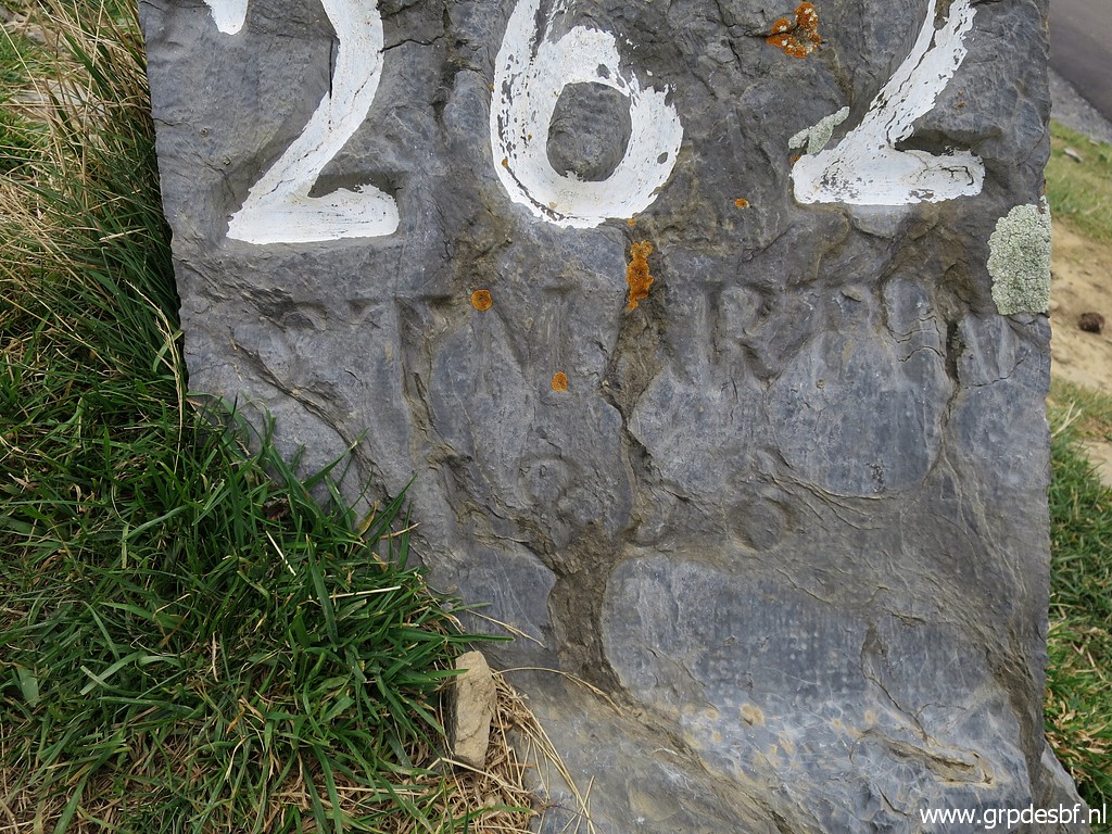
 | Bm262 (click photo to enlarge) |
 | Apparently a geodetic marker. (click photo to enlarge) |
 | Bm262 (click photo to enlarge) |
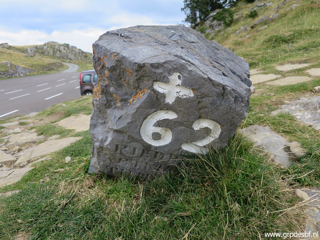 | Bm262 (click photo to enlarge) |
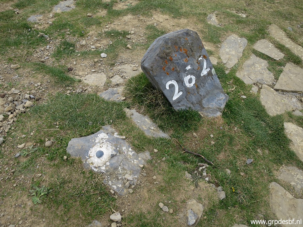
 | Bm262 The text on the other side is in Spanish: one can read 'Piedra'. (click photo to enlarge) |
 | Bm262 (click photo to enlarge) |
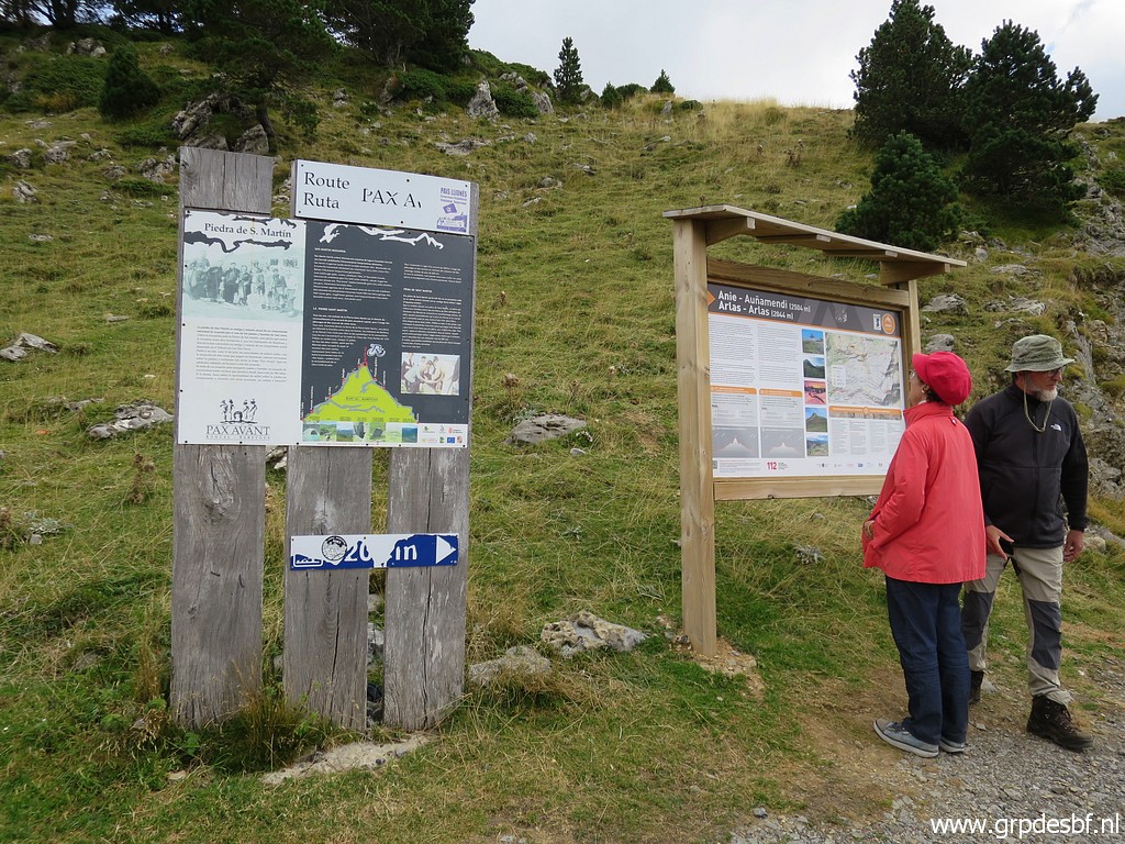 | Information panels (click photo to enlarge) |
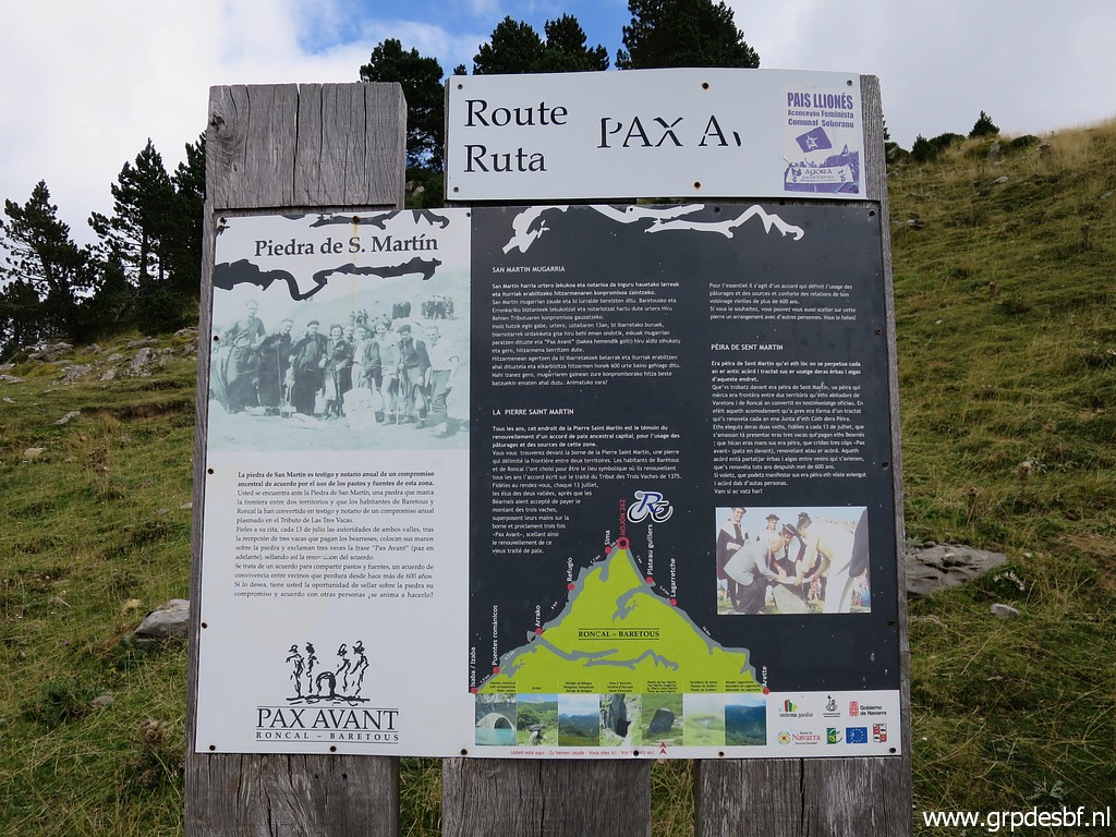 | that show information (click photo to enlarge) |
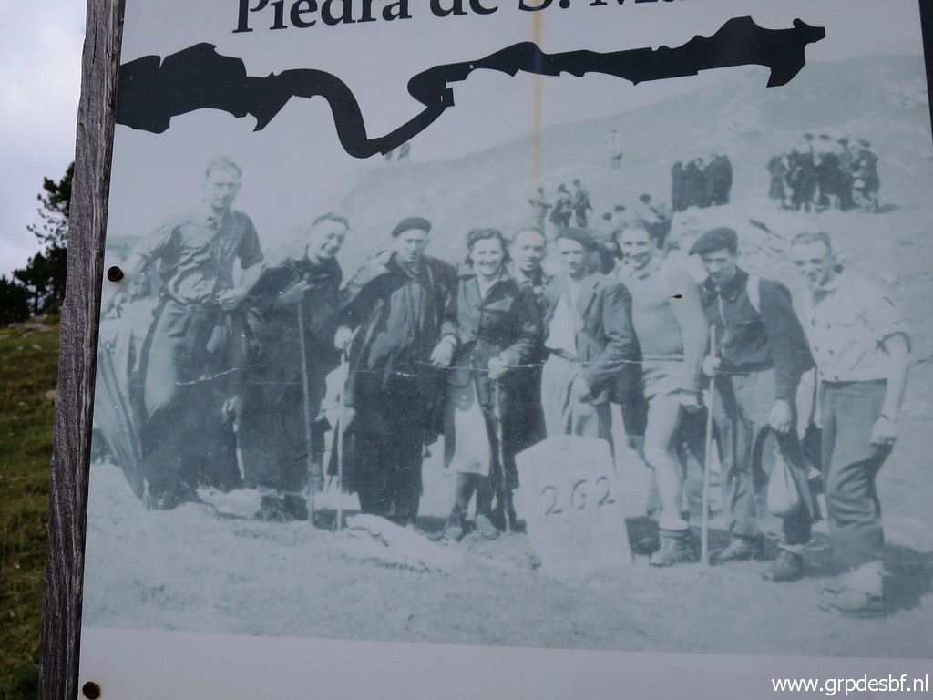 | and old pictures of bm262. (click photo to enlarge) |
 | This one is about the climb to Pic d'Anie. (click photo to enlarge) |
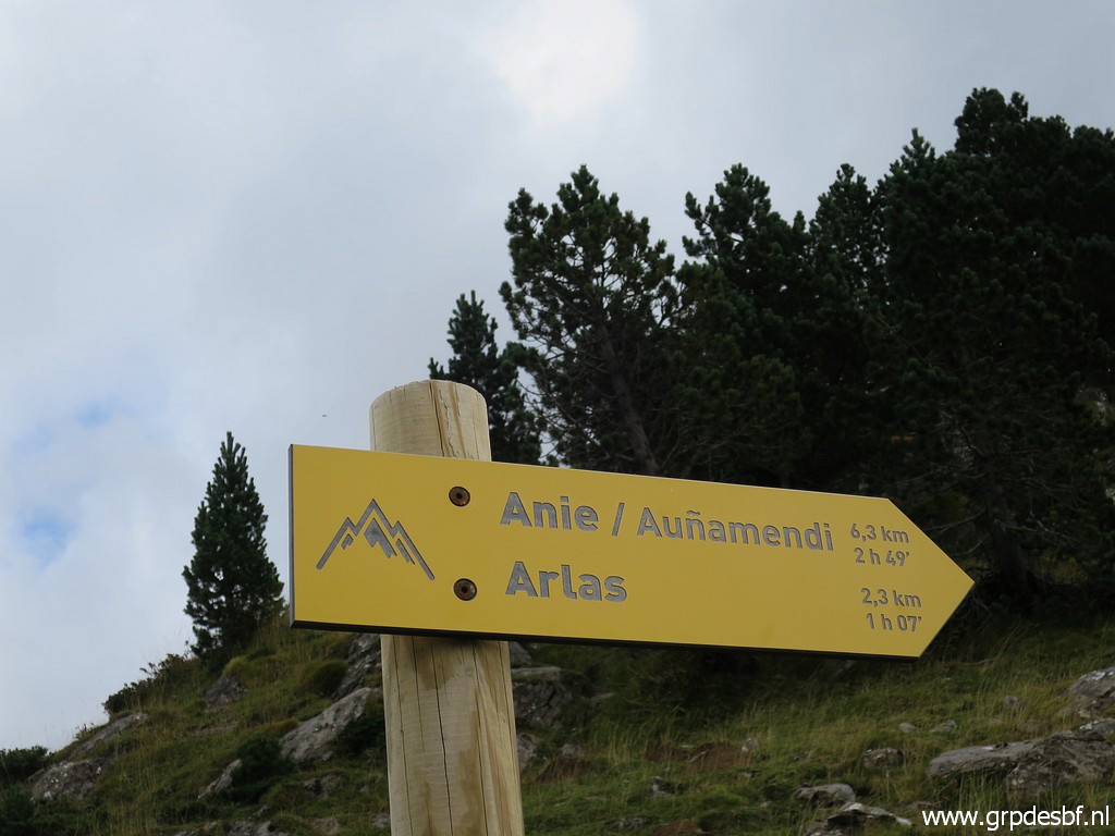
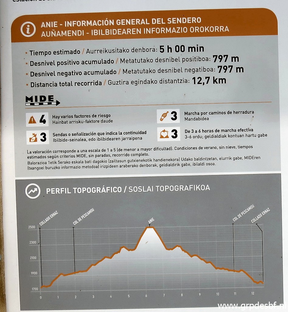 | This time they tell us that you can do the roundtrip to Pic d'Anie in 5 hours. Even more optimistic. (click photo to enlarge) |
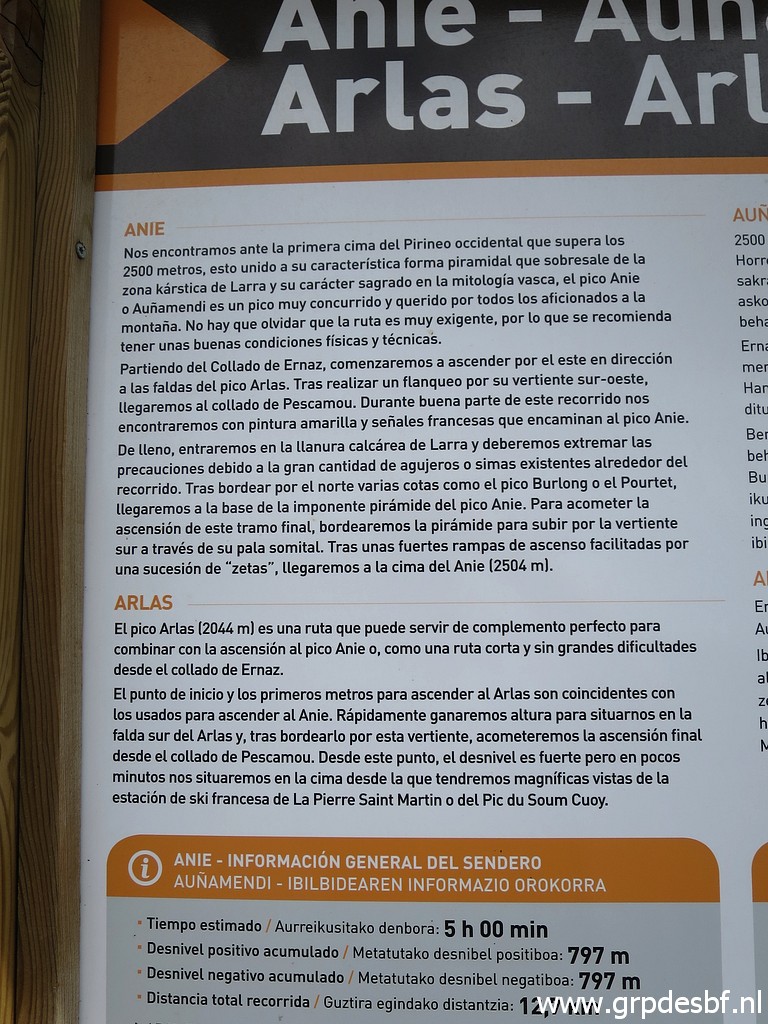 | Description of the route to Pic d'Anie in Spanish (click photo to enlarge) |
 | and a map. I added the extension to bm271. (click photo to enlarge) |
 | Interesting: south of the Añelarra-ridge is the GRT13-trail and this map shows a trail from the GRT13 climbing up the ridge. (click photo to enlarge) |
 | Last picture of bm262. (click photo to enlarge) |
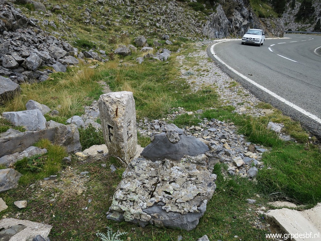
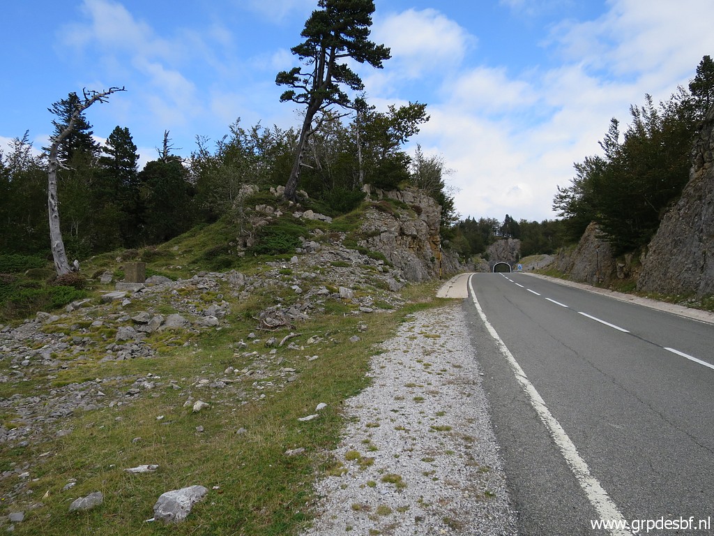
 | Then descending along the borderline steeply to the road. There 3 unnumbered markers like this one. There is no information about when and why they were placed. (click photo to enlarge) |
 | Almost at the road. (click photo to enlarge) |
 | with a zoom-in to the third marker. (click photo to enlarge) |
 | At the road with the second marker. (click photo to enlarge) |
 | The second and third marker are placed in the direction of bm261 but that is not the course of the real borderline. That is because bm261 has been engraved for some mysterious reason ± 200m W of the borderline. Later on more about this curiosity. (click photo to enlarge) |
 | The second marker. (click photo to enlarge) |
 | And this is the third marker. The second and third marker have been - after a reconstruction of the road - rotated a bit. (click photo to enlarge) |
 | Descending along this rockfall would be the direct route to bm261. A bit too slippery, I estimate, (click photo to enlarge) |
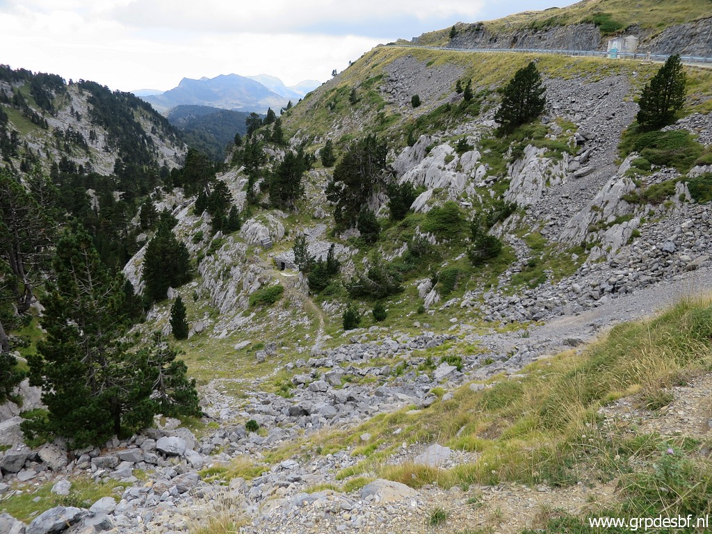 | and I descend from another spot, (click photo to enlarge) |
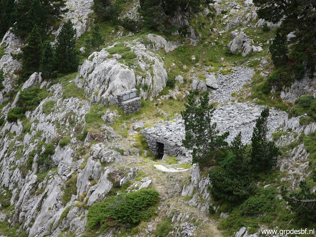 | bringing me first to a memorial (click photo to enlarge) |
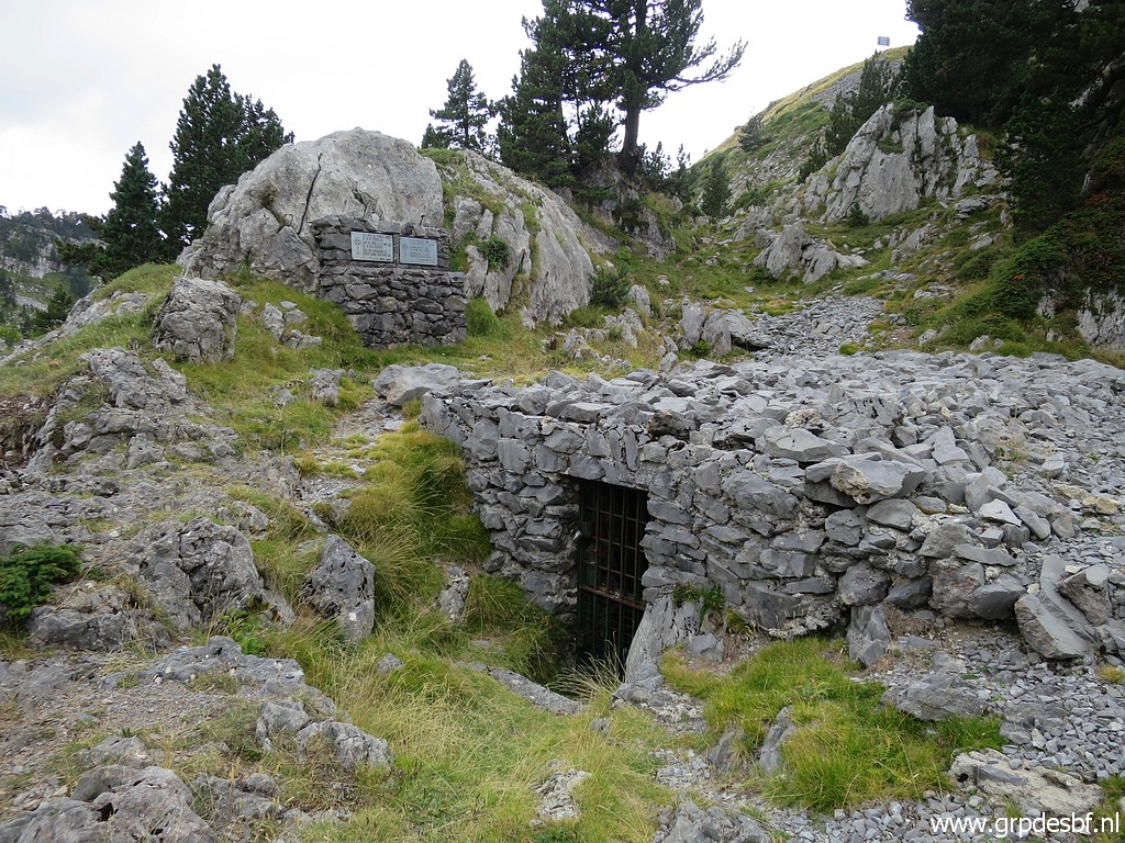 | and cave-entrance. (click photo to enlarge) |
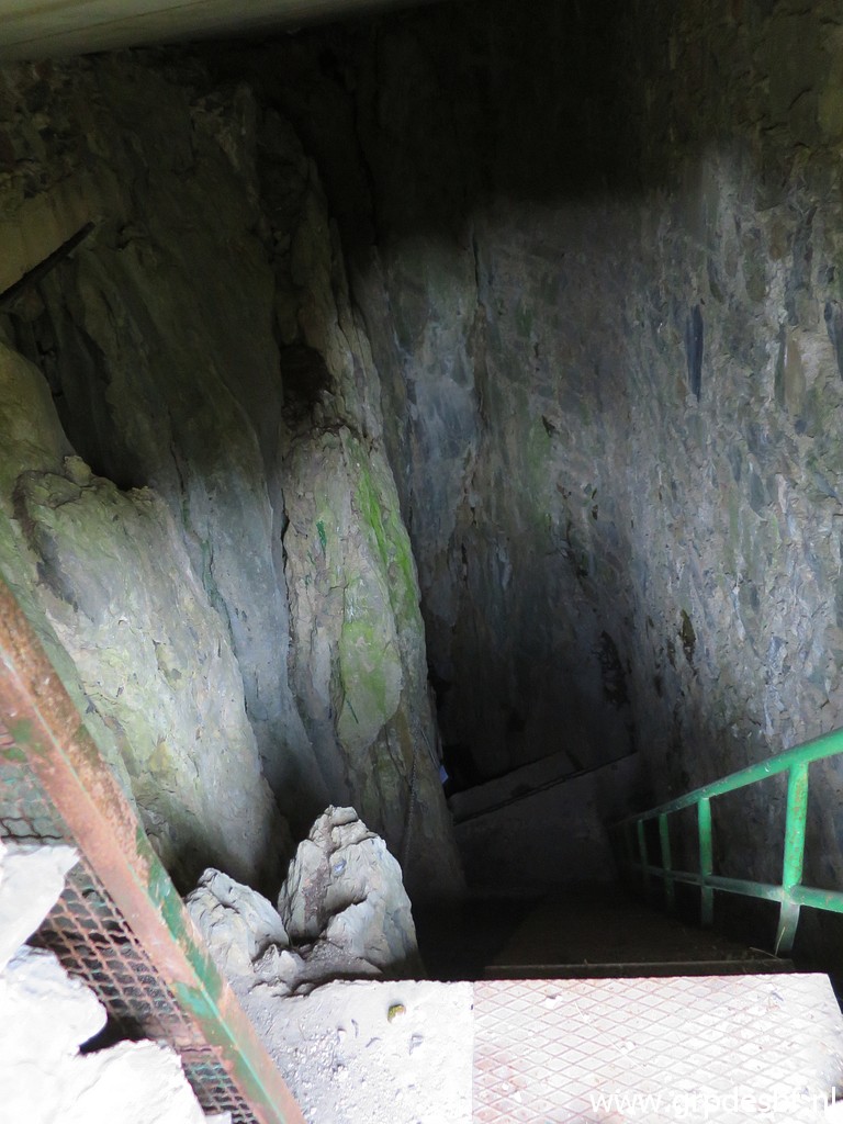 | Looking down the cave-entrance. (click photo to enlarge) |
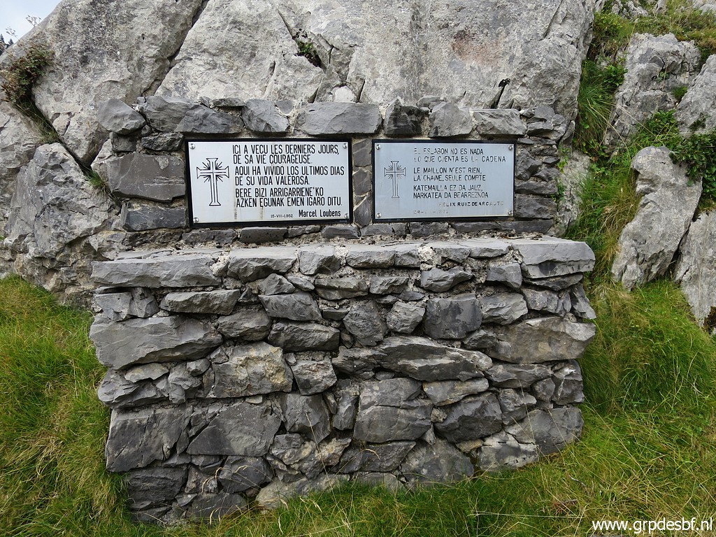 | The memorial is about the French speleologist Marcel Loubens who died in the cave in 1952. (click photo to enlarge) |
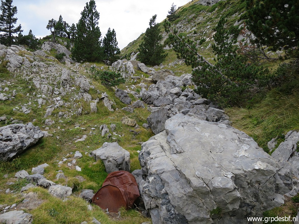 | From the cave it it easy to traverse the terrain (click photo to enlarge) |
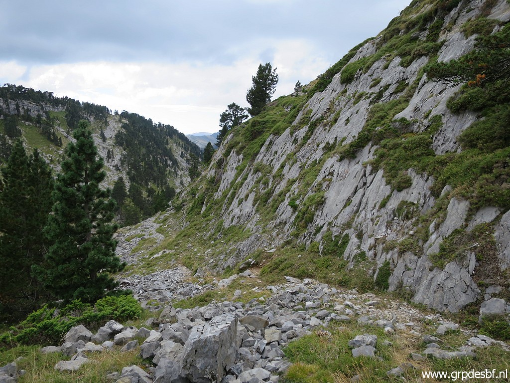 | to this rockwall (click photo to enlarge) |
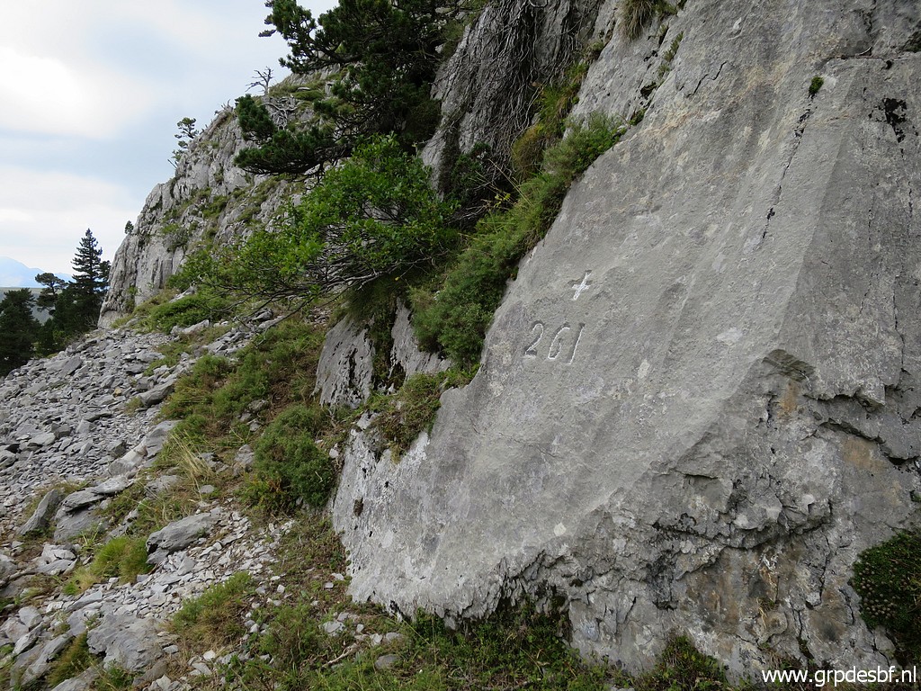
 | with further along the rockwall bm261. (click photo to enlarge) |
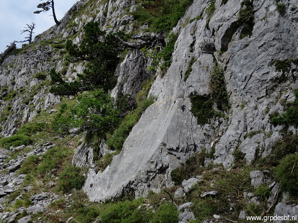 | Bm261 (click photo to enlarge) |
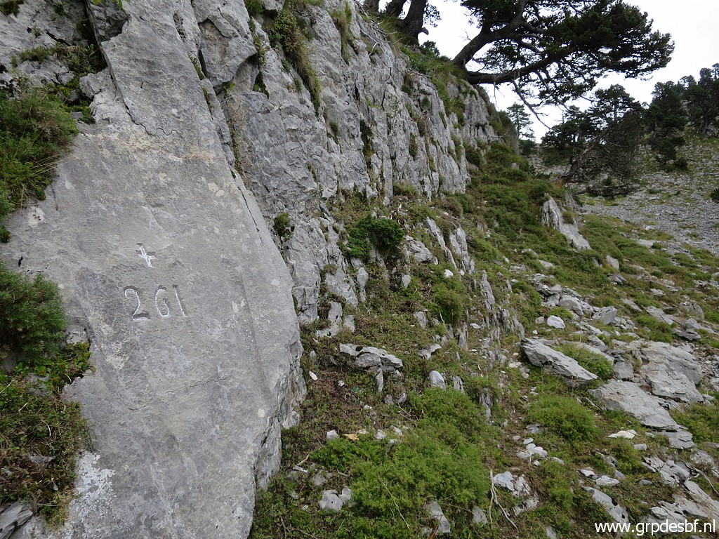
 | Bm261 (click photo to enlarge) |
 | Bm261, looking back. (click photo to enlarge) |
 | Bm261 (click photo to enlarge) |
 | Bm261 (click photo to enlarge) |
 | Bm261 (click photo to enlarge) |
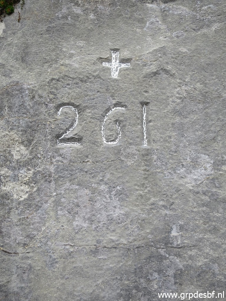
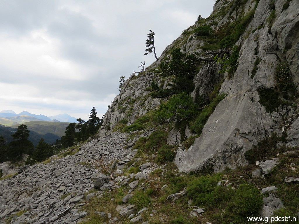 | Bm261 As said before, bm261 is not at the border but ± 200m west of it. Read all about this 'misstake' on this page. (click photo to enlarge) |
 | Back to the road (click photo to enlarge) |
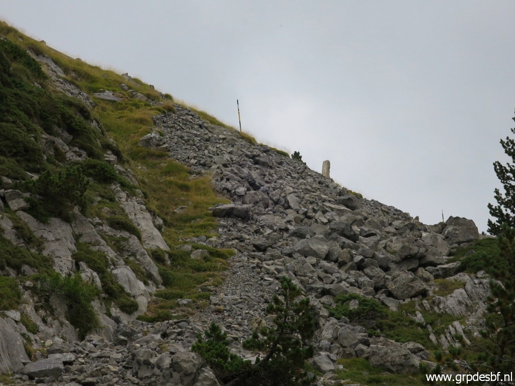 | where I now see an easy climb besides the rockfall (note the third unnumbered marker) (click photo to enlarge) |
 | to the road. You can spot my walking stick: that is where you can descend (click photo to enlarge) |
 | on grassy underground towards bm261. (click photo to enlarge) |
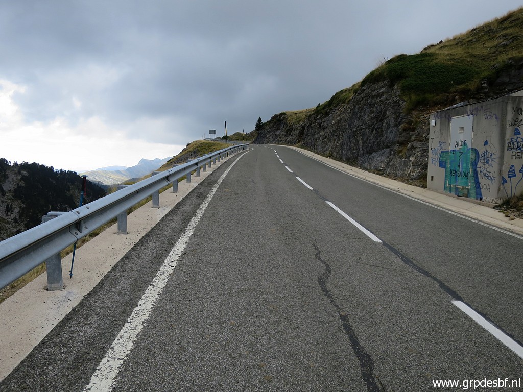
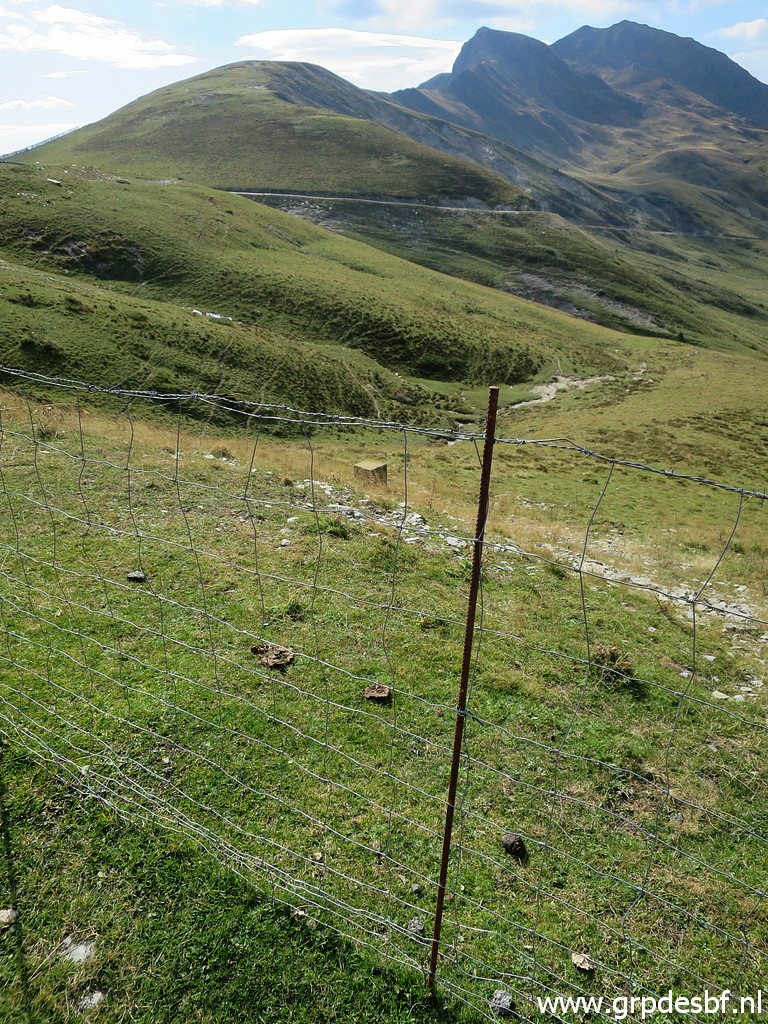
 | I walk back to my car at the parking of La Contienda. This is approximately the Col de Léché and the borderline from here is a straight line to Col de la Pierre St-Martin. (click photo to enlarge) |
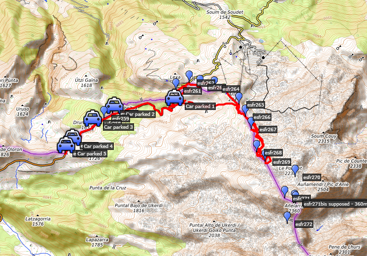
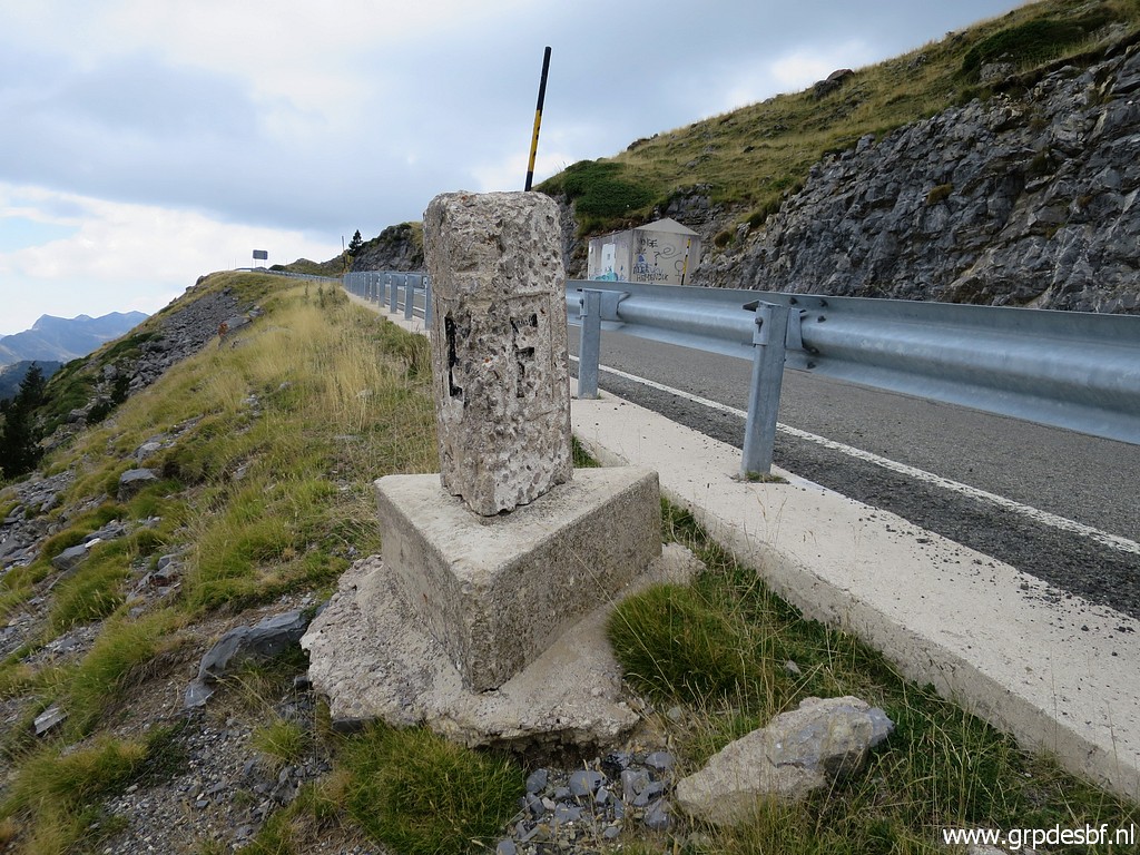
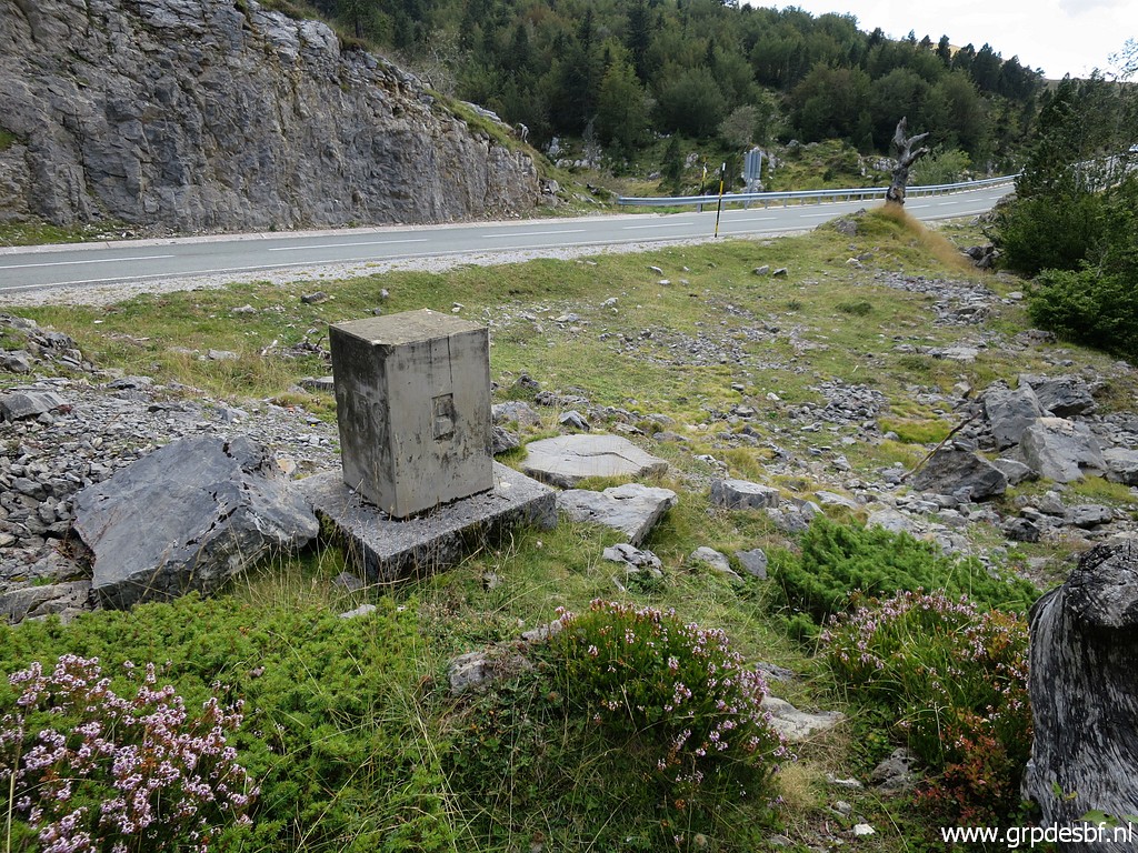
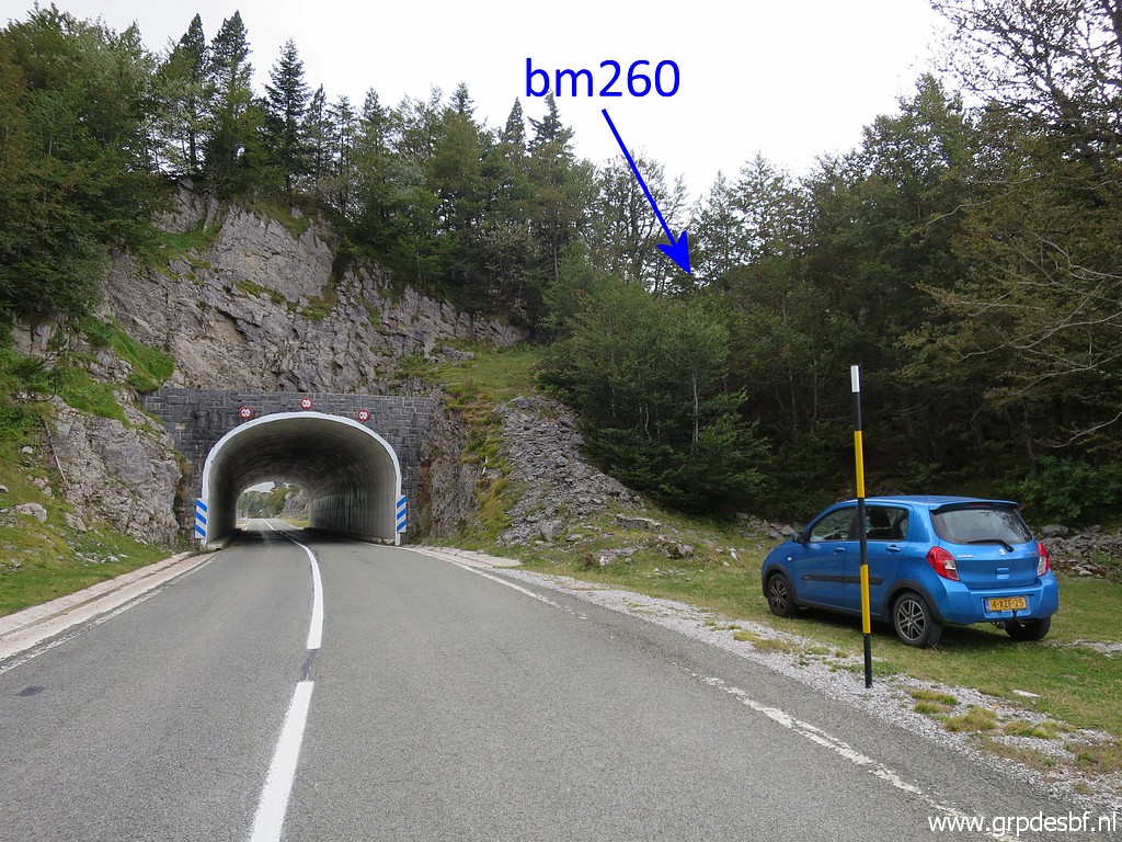 | With my car I finish with visiting bm260 to 256. This picture shows well where bm260 can be found. (click photo to enlarge) |
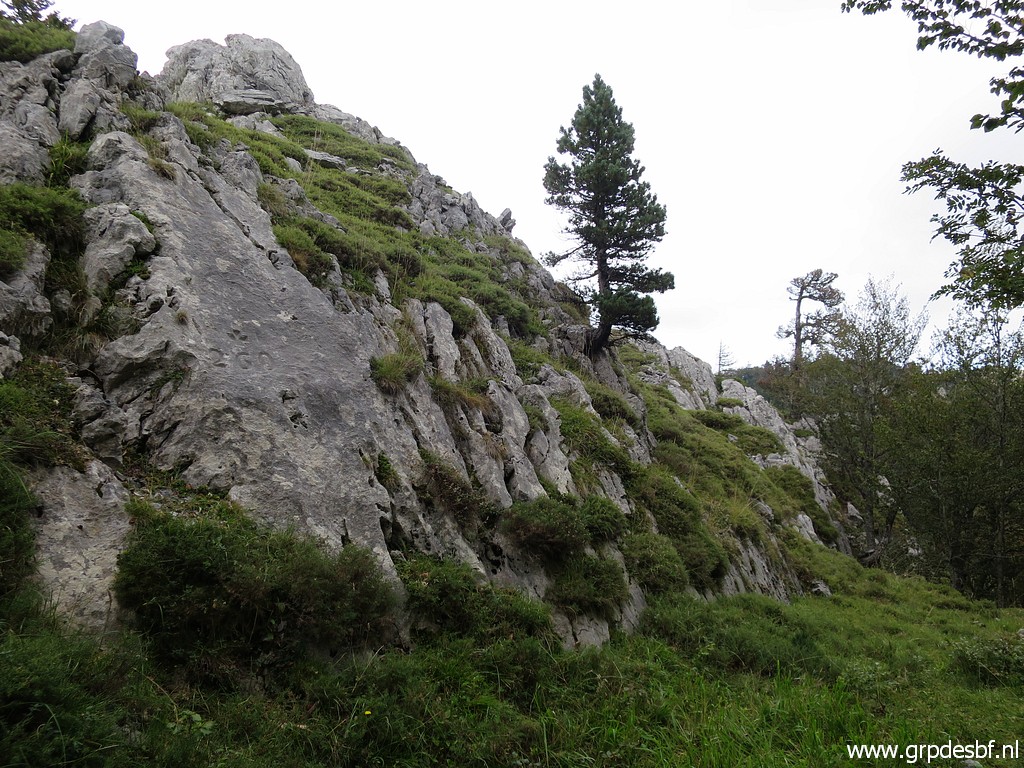 | Bm260 (click photo to enlarge) |
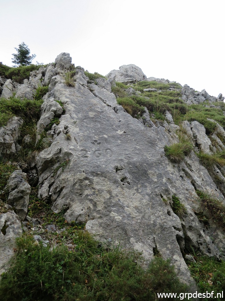 | Bm260 (click photo to enlarge) |
 | Bm260 (click photo to enlarge) |
 | Bm260 (click photo to enlarge) |
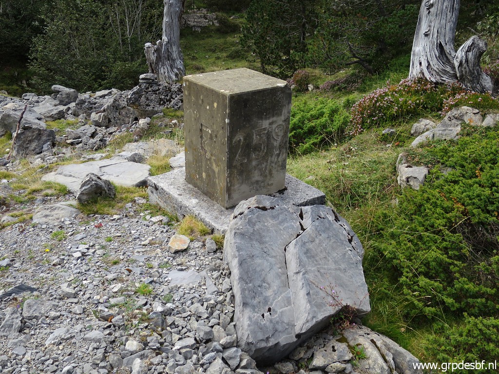
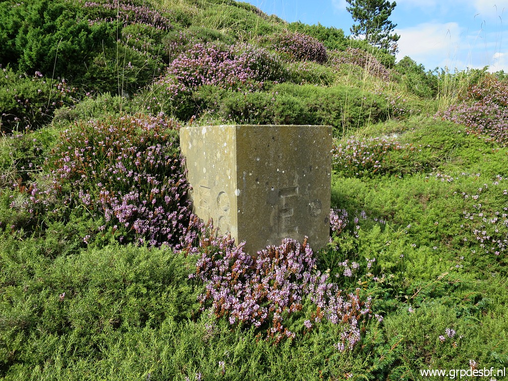
 | The next stop is at bm259 (click photo to enlarge) |
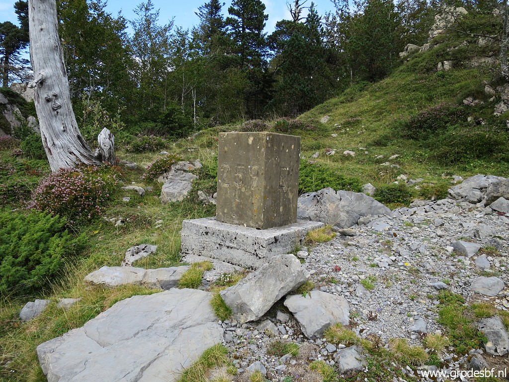 | Bm259 (click photo to enlarge) |
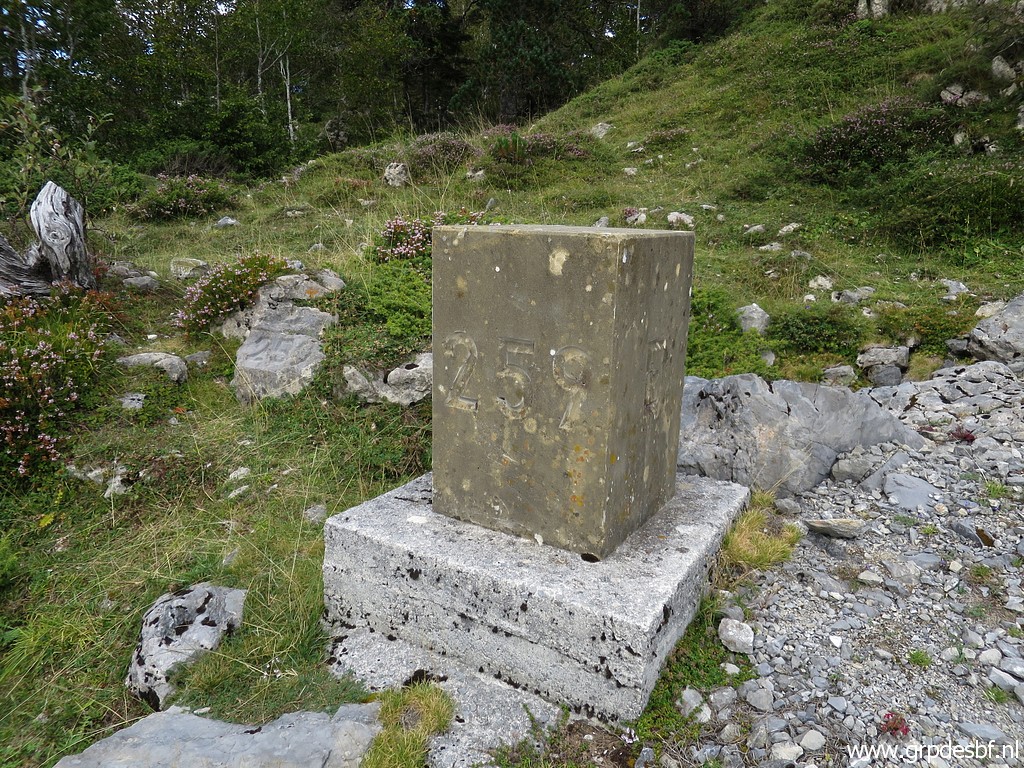 | Bm259 (click photo to enlarge) |
 | Bm259 (click photo to enlarge) |
 | Bm259 (click photo to enlarge) |
 | Bm259 (click photo to enlarge) |
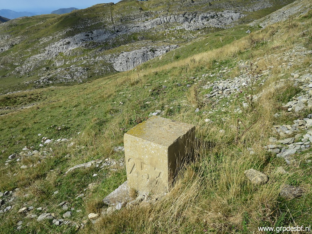
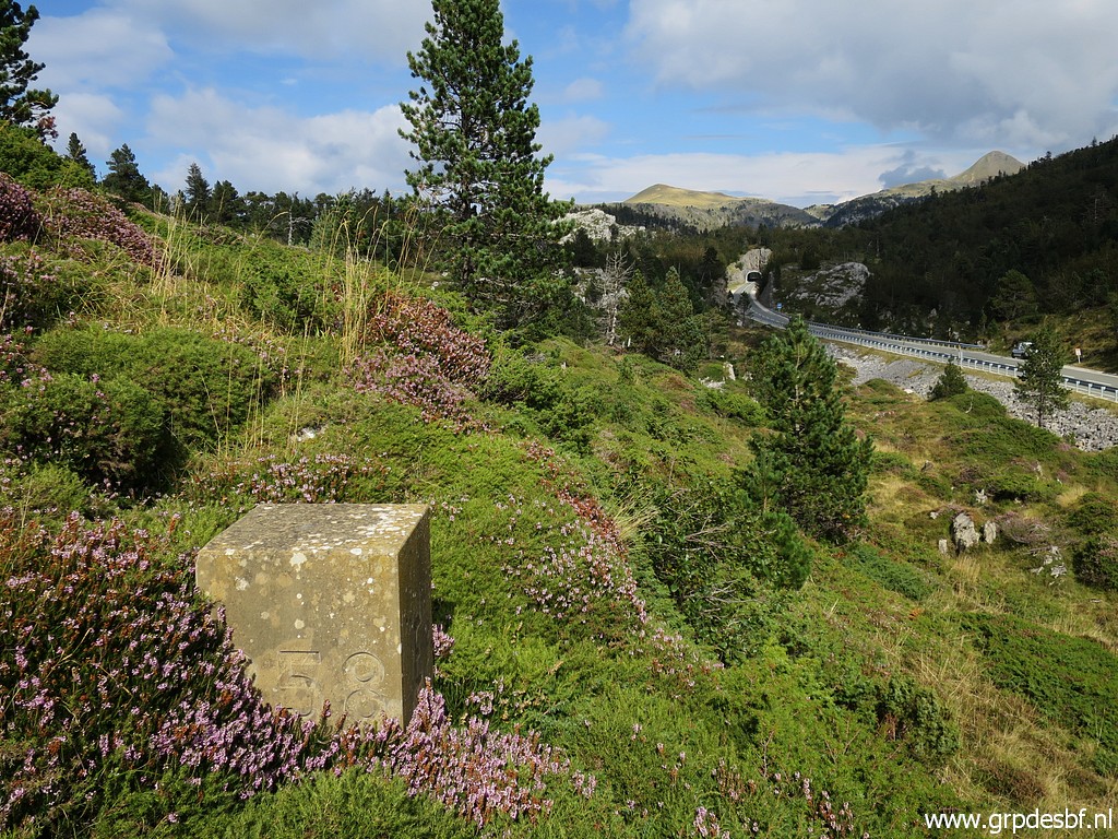 | The next one is bm258. (click photo to enlarge) |
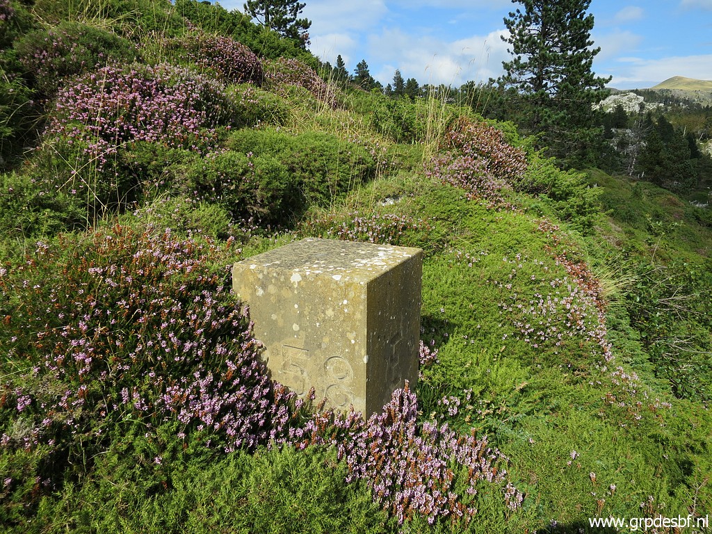 | Bm258 (click photo to enlarge) |
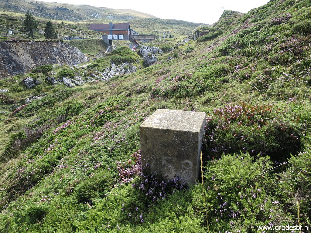 | Bm258 (click photo to enlarge) |
 | Bm258 (click photo to enlarge) |
 | Bm257 is down the road. (click photo to enlarge) |
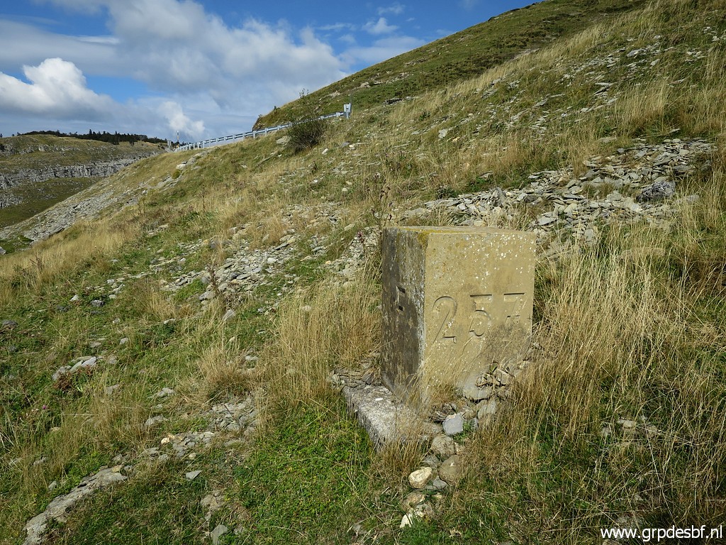 | Bm257 (click photo to enlarge) |
 | Bm257 (click photo to enlarge) |
 | Bm257 (click photo to enlarge) |
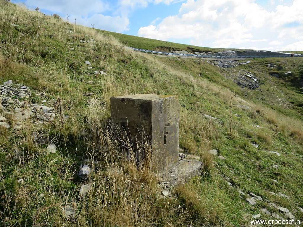
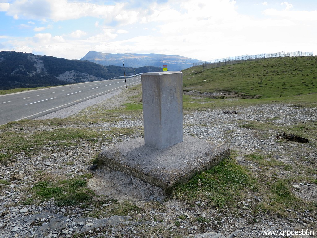 | The last one for today is bm256. (click photo to enlarge) |
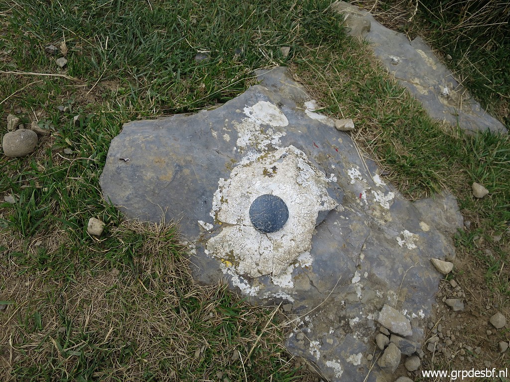
 | Bm256 (click photo to enlarge) |
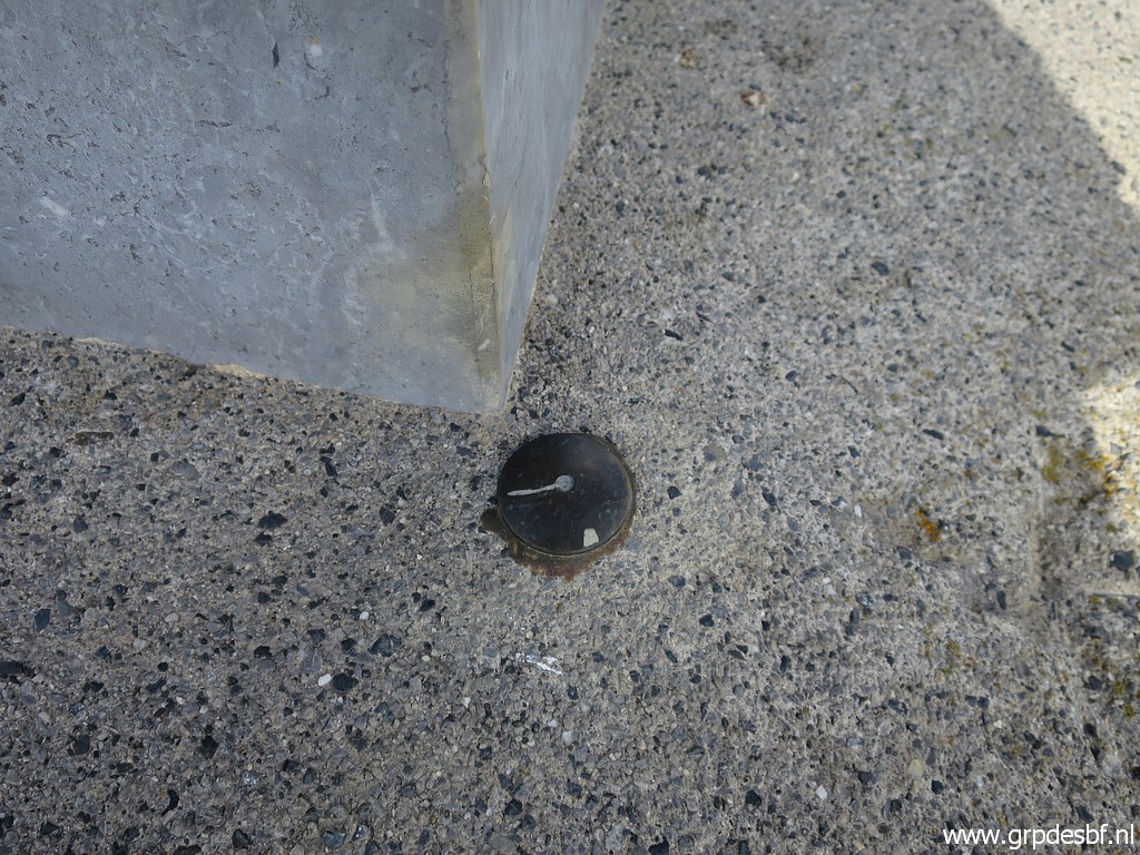 | Bm256, a geodetic marker at its foot. Enough for today, back to the camping in Arette. (click photo to enlarge) |