|
The
bordermarkers of the Pyrenees : all my trips
 |
|
| -
monday 11 april
2022 - Redoing bm136-144 |
 |
 |
Summary:
part of a series of 10 daytrips in april 2022 in the Basque country,
mainly redoing bm085 to 197. This is day 4. Today: third day of three days of backpacking along bm091 to 144. Today from bm136 until bm144. Weather: bright and sunny, later very strong winds on the hills. |
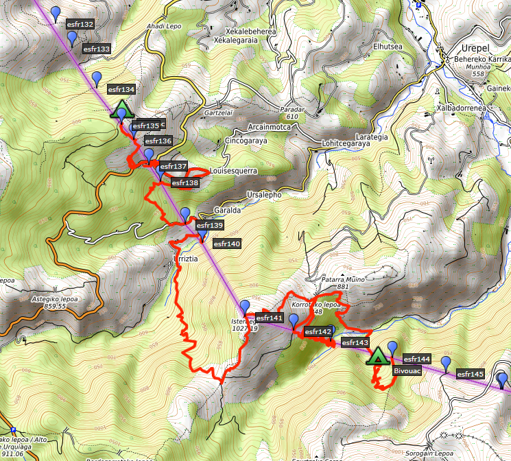 track-20220411.kml
(click to open this trip in Google Earth or copy link to Google Maps; click right on this link to download gpx-version). The gps-track has not been manually corrected which explains the inaccuracy and misalignment at some points. For cartographic backgrounds: see the cartography-page Gps-waypoints of all bordermarkers (most recent version): kml: esfr-bordermarkers-all-waypoints.kml gpx: esfr-bordermarkers-all-waypoints.gpx (with elevation added by gpsvisualizer.com) |
|
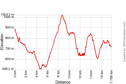 |
According to Garmin
Basecamp (uncorrected track with elevation added by Gpsvisualizer.com): Distance: 17,8km Max-height: 1024m Min-height: 508m Elevation: +1734m -1901m Total elevation: 3635m Start 8:40 Finish 18:11 Total time: 9:31 |
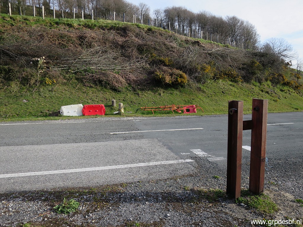
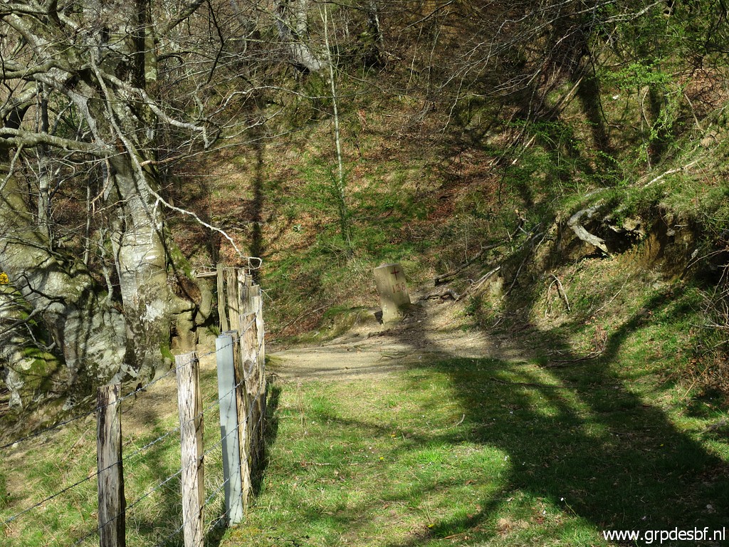
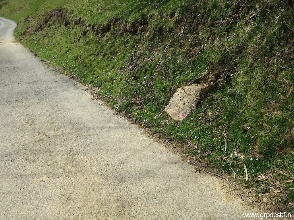
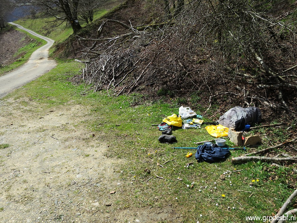
 | It was a stormy night, I was often awakenend by it. From my bivouac spot I descend to bm136. (click photo to enlarge) |
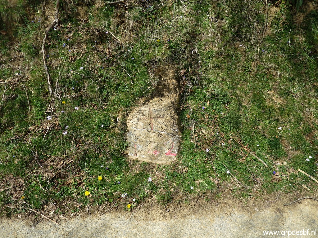
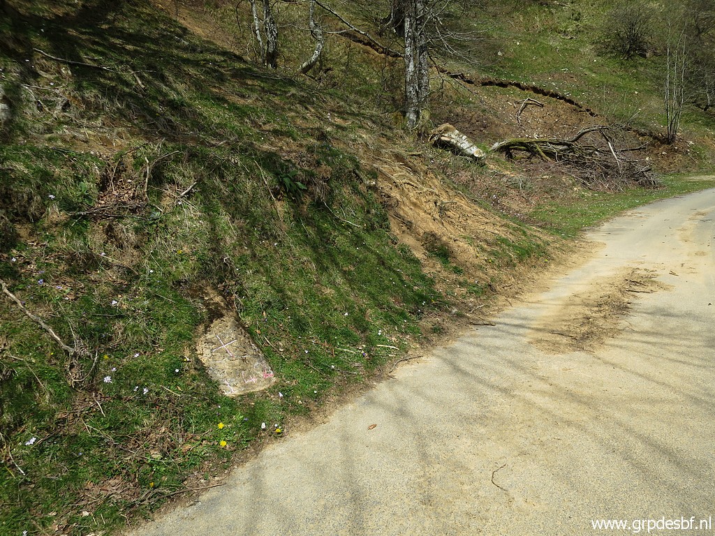
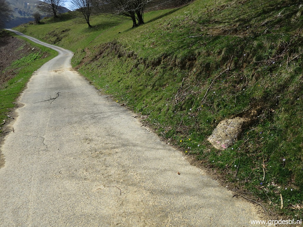
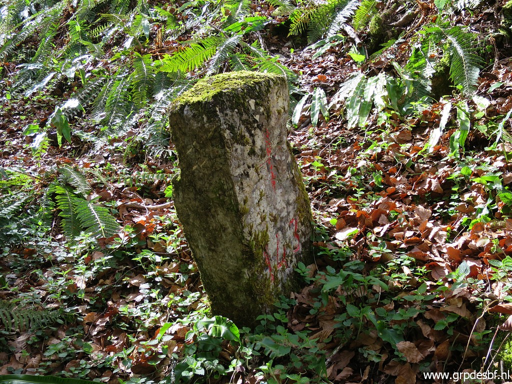
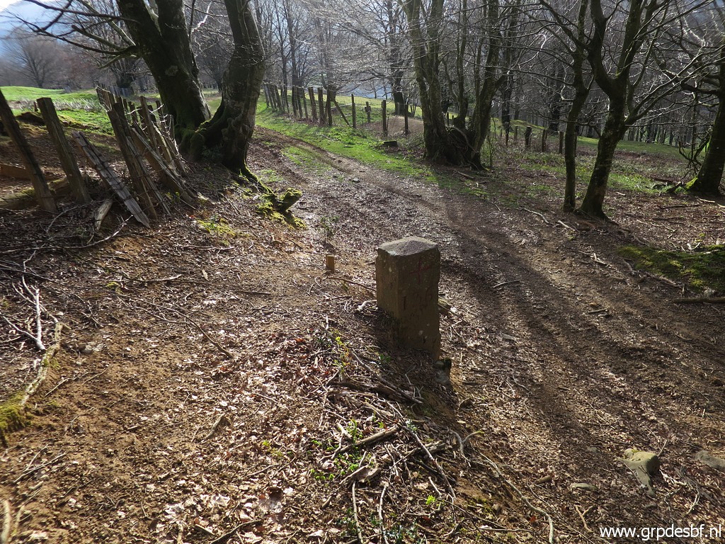 | Bm136 (click photo to enlarge) |
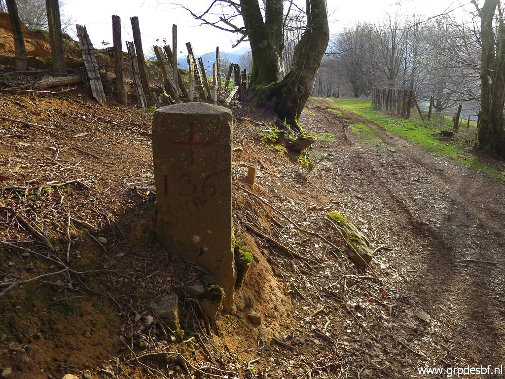 | Bm136 (click photo to enlarge) |
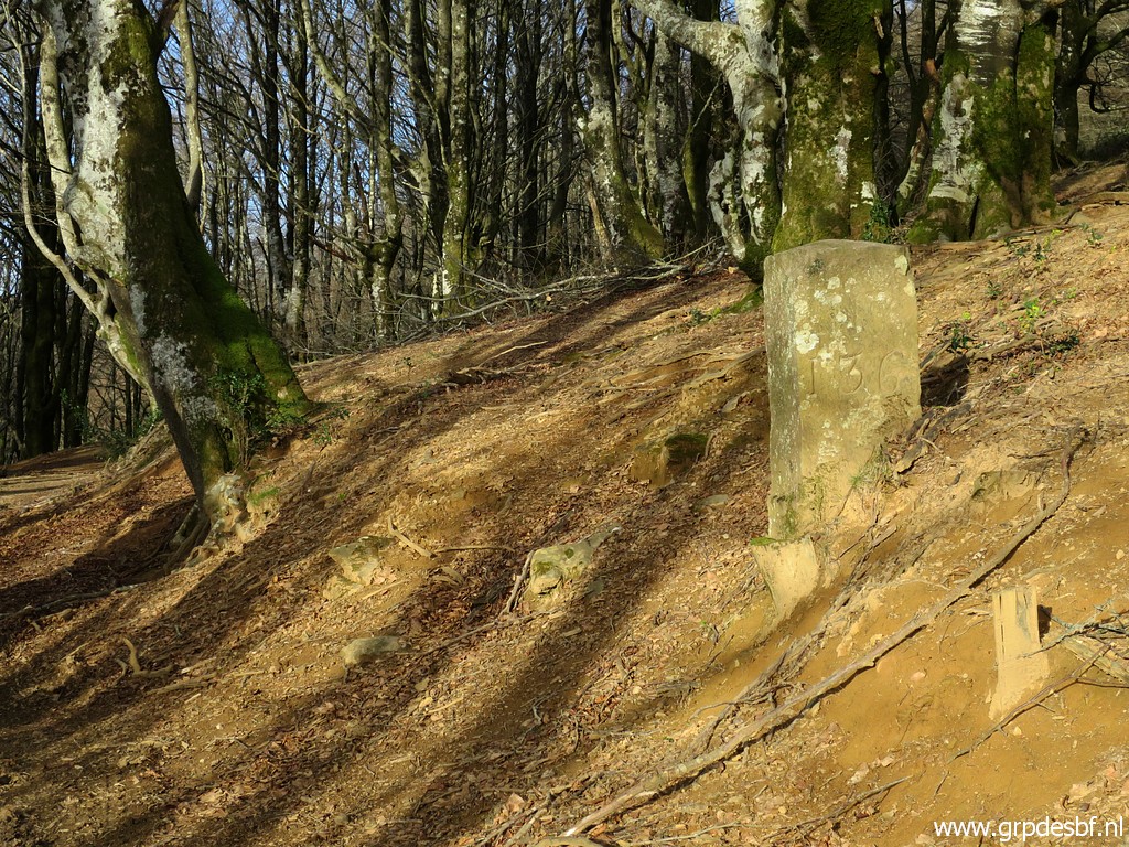 | Bm136 (click photo to enlarge) |
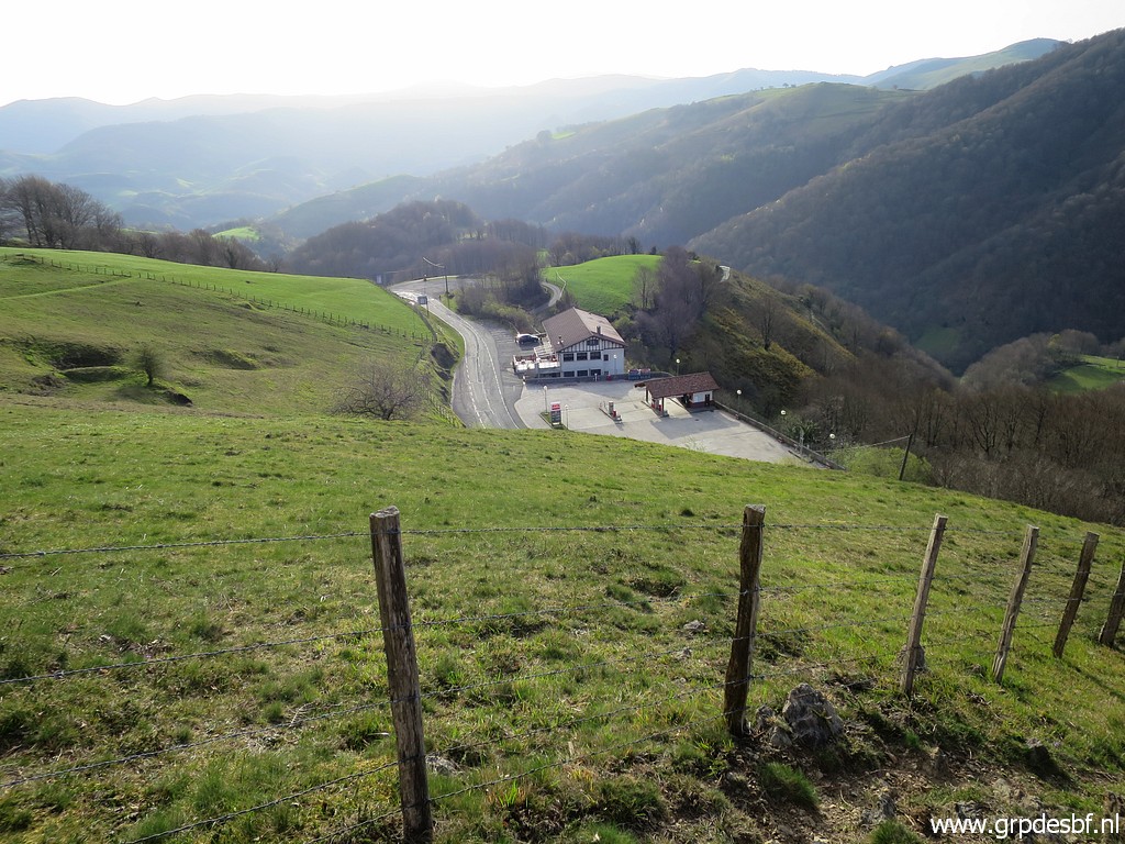
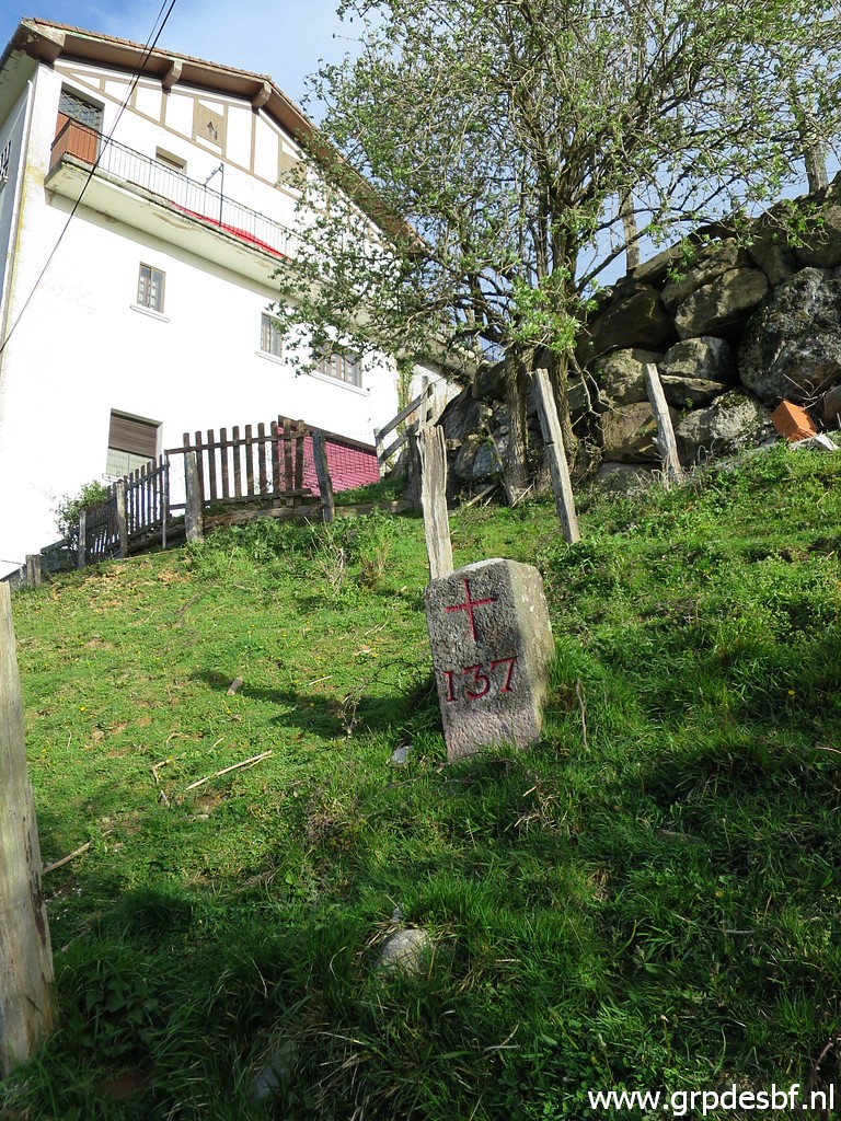
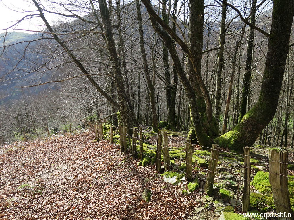
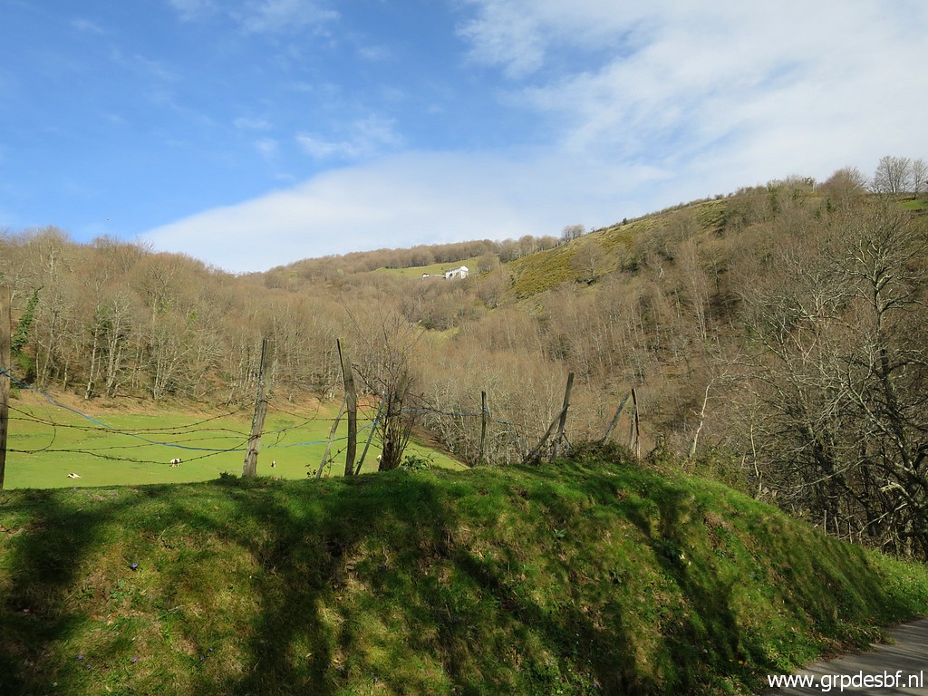
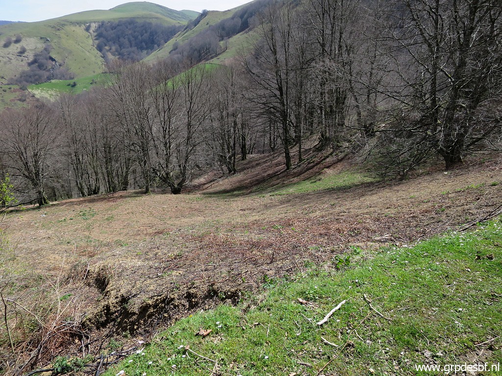
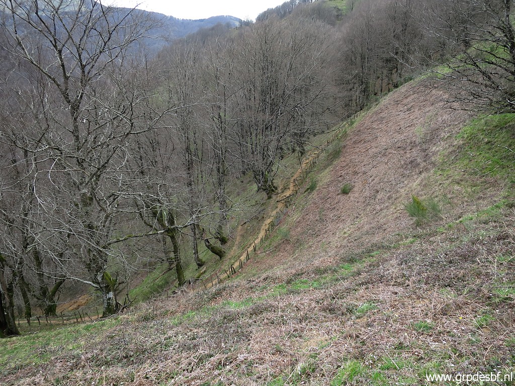
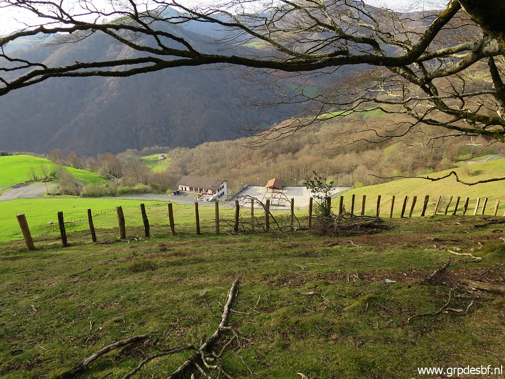 | Between bm136 and the Benta Baztan (bm137), there is a meadow. (click photo to enlarge) |
 | Along the west-side of the meadow, you can (click photo to enlarge) |
 | descend to the road. But the last part along the fence is too steep. (click photo to enlarge) |
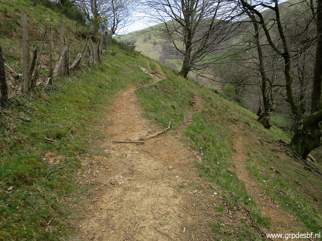
 | But parallel to the fence in this track (click photo to enlarge) |
 | climbing uphill. I try it. Now I'm back near the upper edge of the meadow This picture shows how to descend more smoothly to the road. (click photo to enlarge) |
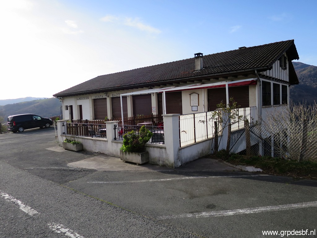 | The Benta, I'm too early for a 'cafe con leche'. (click photo to enlarge) |
 | The remains of a former border barrier. (click photo to enlarge) |
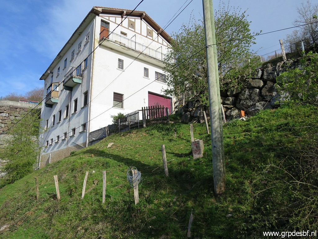
 | At the backside of the Benta, there is bm137. (click photo to enlarge) |
 | Bm137 (click photo to enlarge) |
 | Bm137 (click photo to enlarge) |
 | Bm137 (click photo to enlarge) |
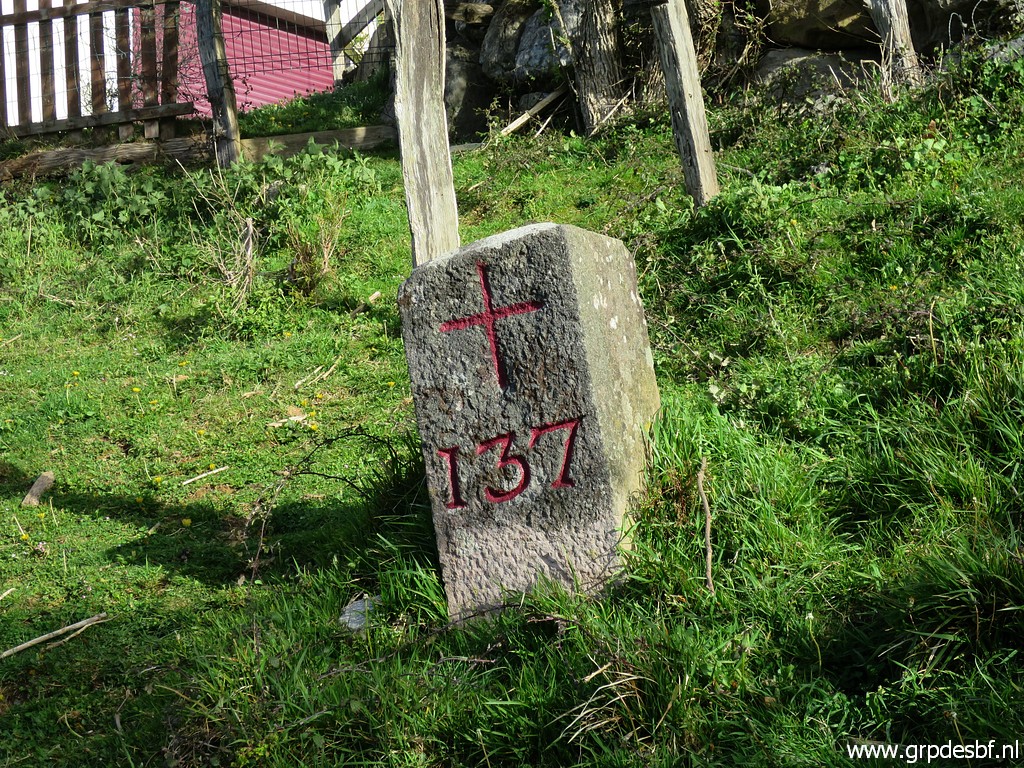 | Bm137 (click photo to enlarge) |
 | Bm137 (click photo to enlarge) |
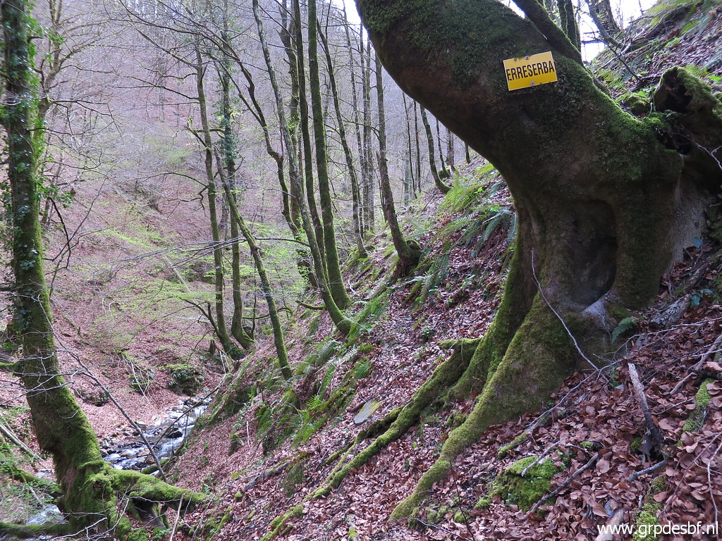
 | On 1-6-2013 I found together with Jan-Willem a direct route from bm137 to bm138. But now the undergrowth has become too strong to wrestle through, especially later in the season. I already heard that from Carlos and Conchita Roca. (click photo to enlarge) |
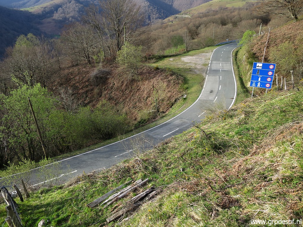
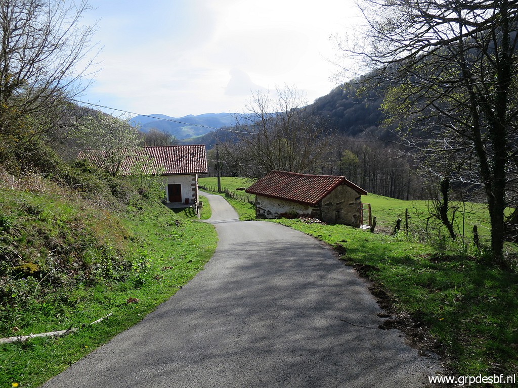
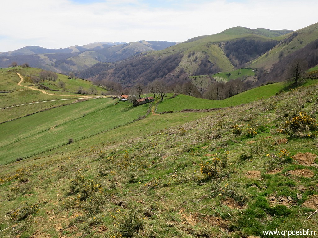
 | So I will make a detour. First along the tarmac road with this view ahead. (click photo to enlarge) |
 | Zoom-in. (click photo to enlarge) |
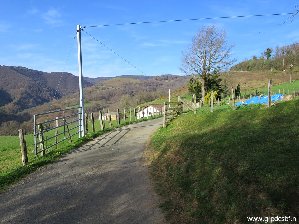 | Later on entering this road to a farm (click photo to enlarge) |
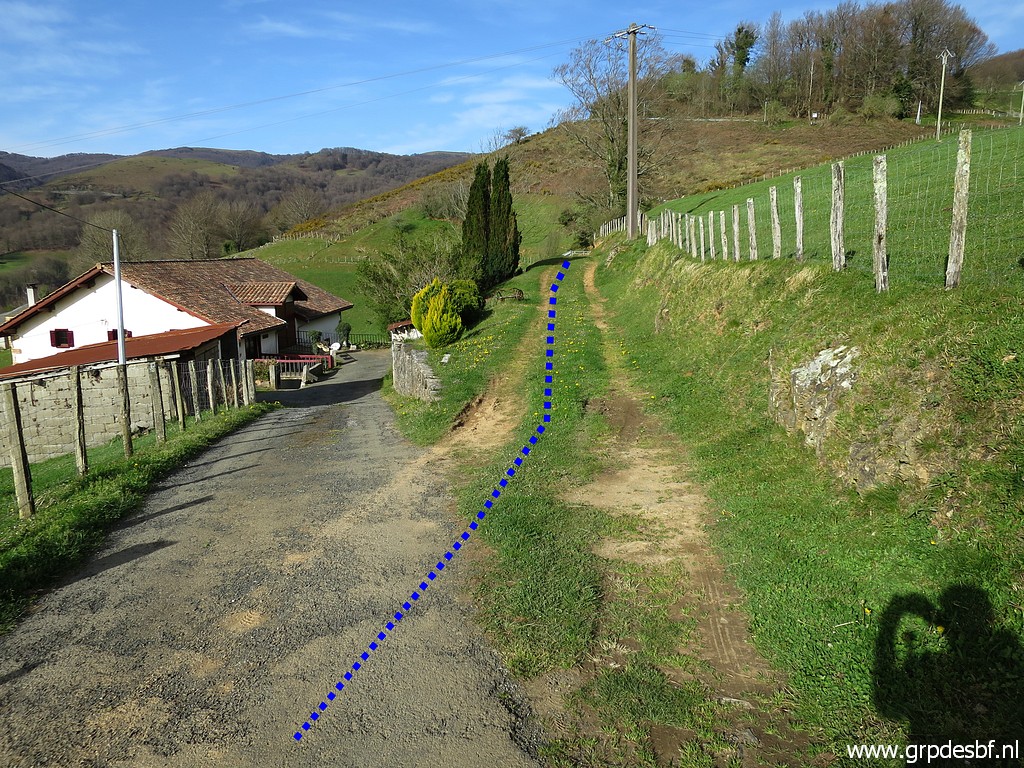 | but taking this dirtroad (click photo to enlarge) |
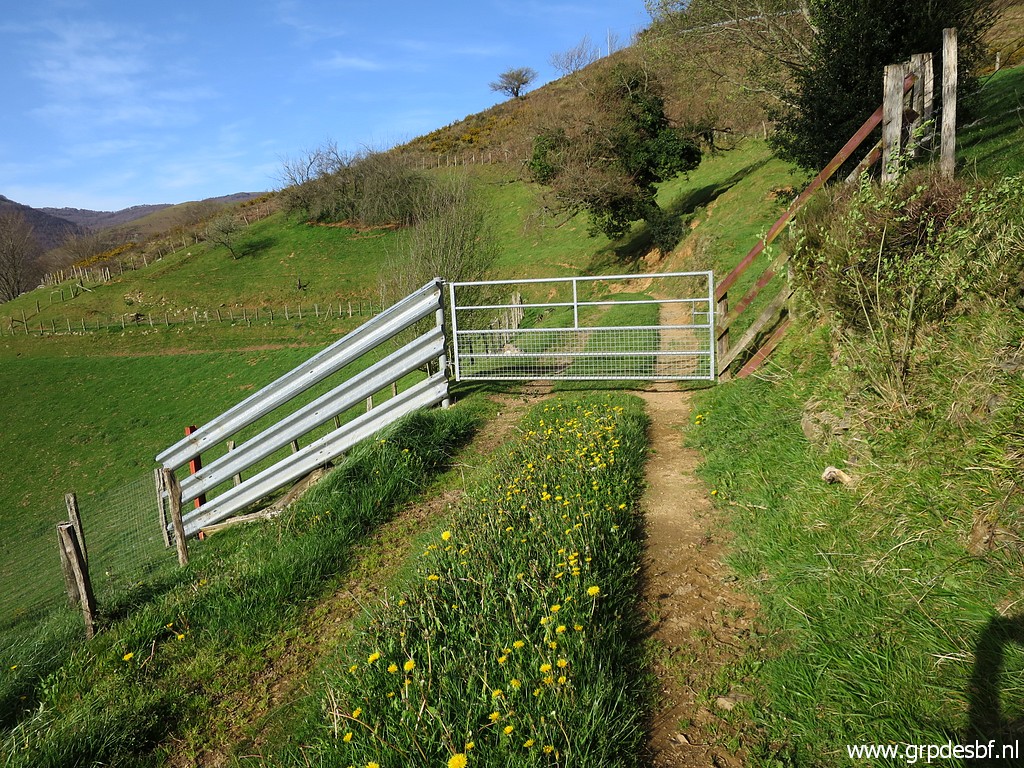 | and crossing this gate (click photo to enlarge) |
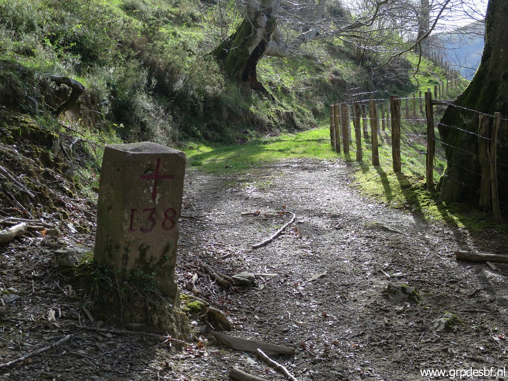
 | to reach bm138. (click photo to enlarge) |
 | Bm138 (click photo to enlarge) |
 | Bm138 (click photo to enlarge) |
 | Bm138 (click photo to enlarge) |
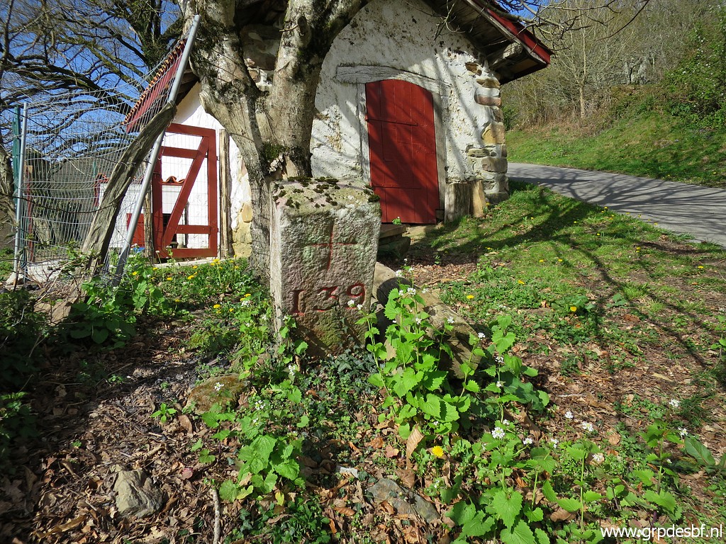
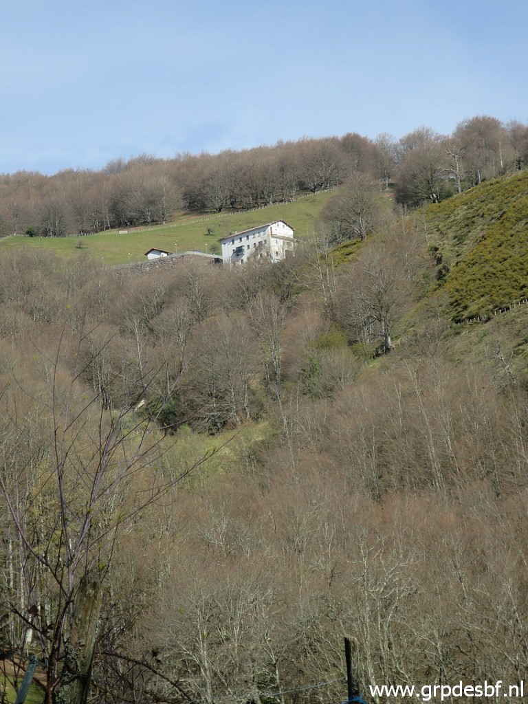
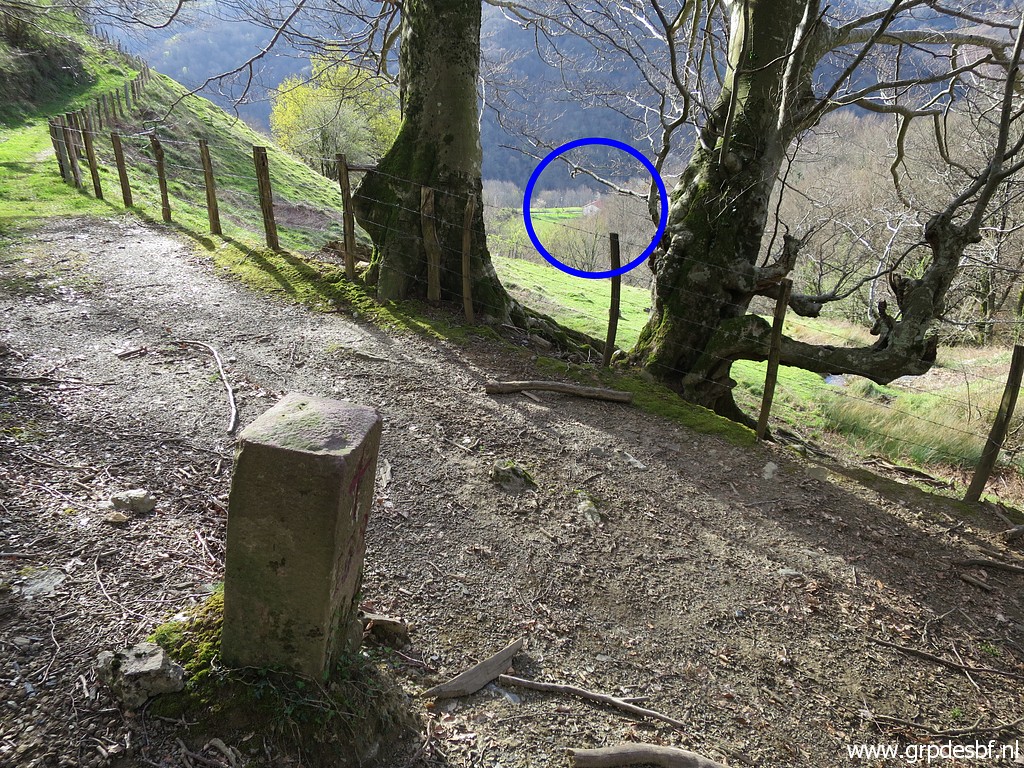 | Bm138 with a (click photo to enlarge) |
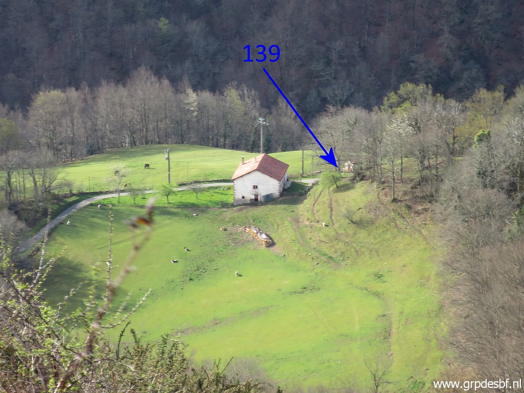
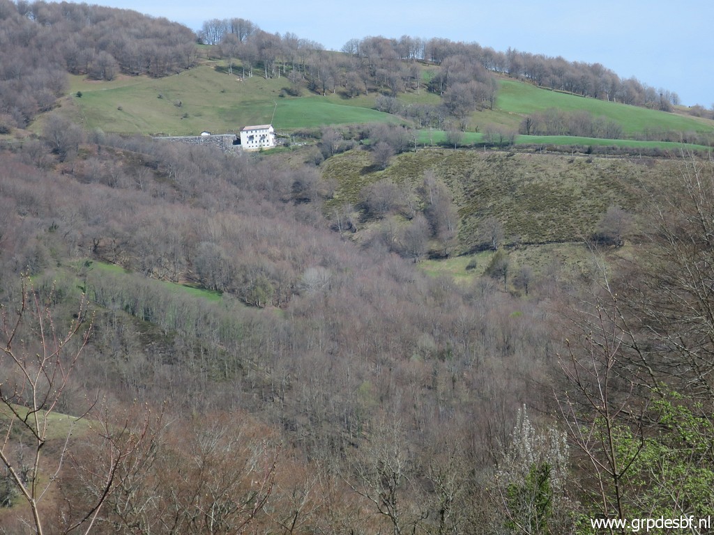
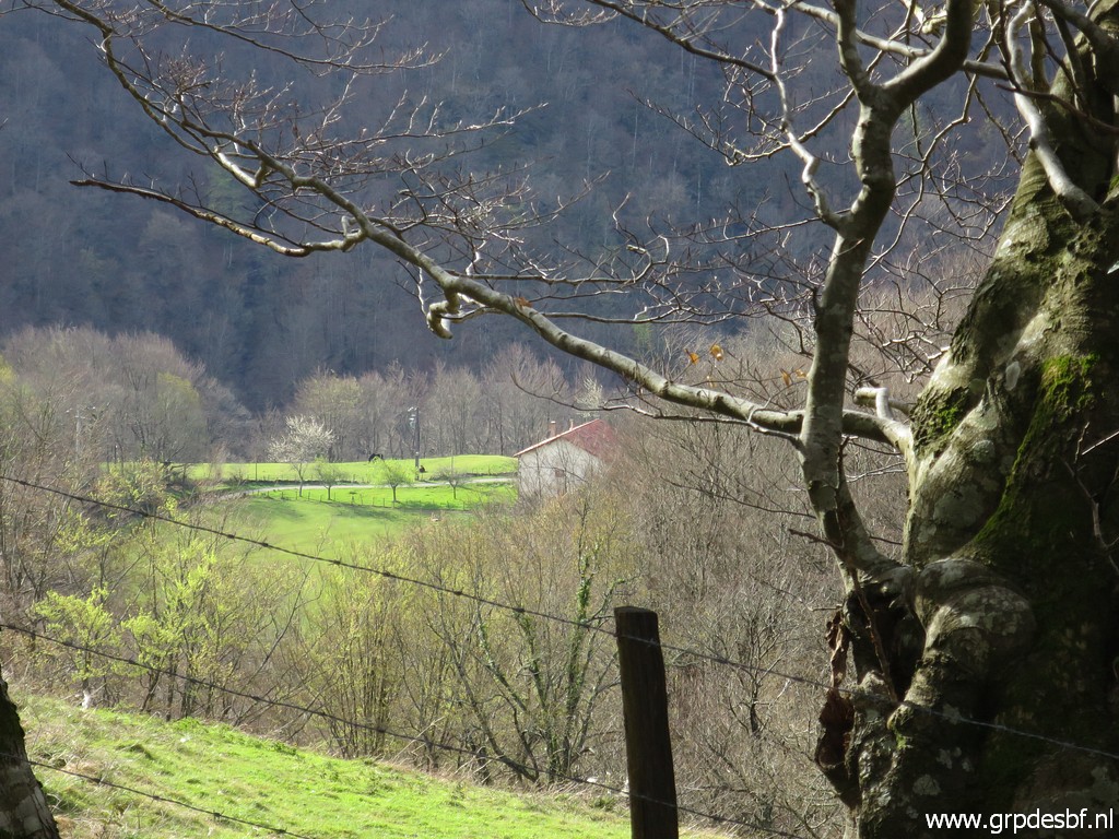 | a zoom-in to the farm with bm139. (click photo to enlarge) |
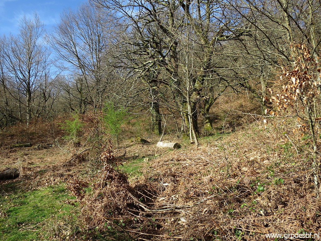 | I continue beyond bm138, crossing a stream and arriving at this open spacen. I am surprised that the three trees of 1-6-2013 are still there. Passing along those trees (click photo to enlarge) |
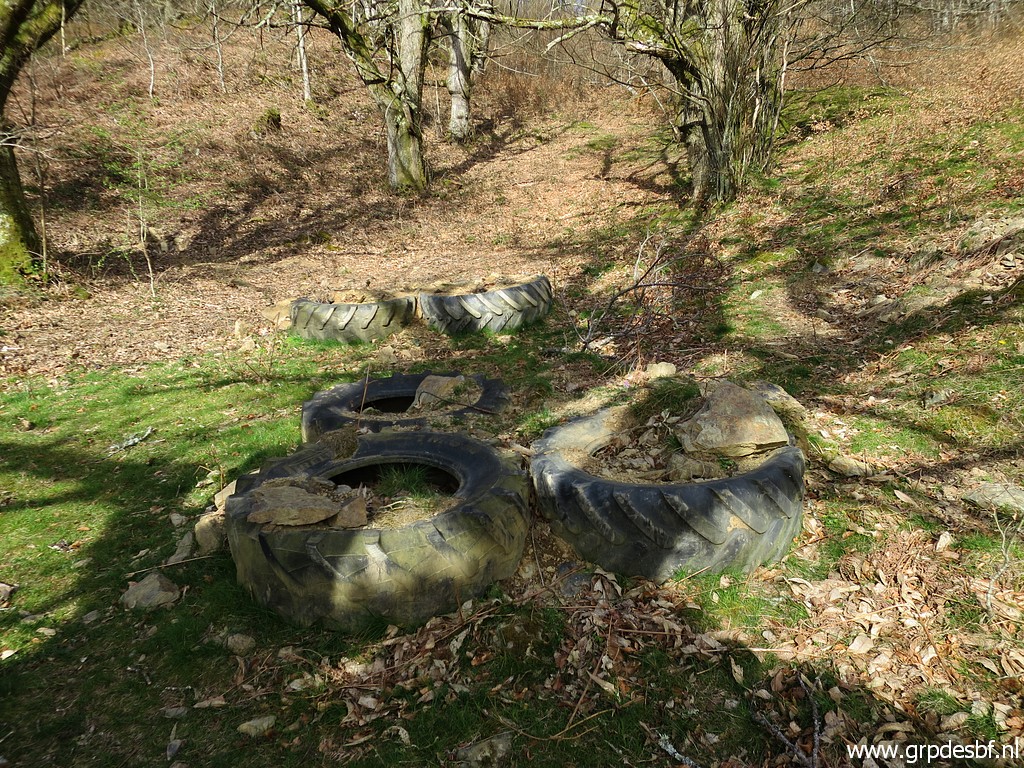 | and coming across some tyres (why here?), still (click photo to enlarge) |
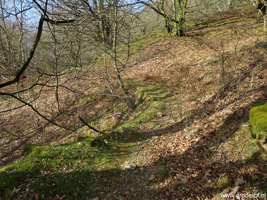 | following a trail (click photo to enlarge) |
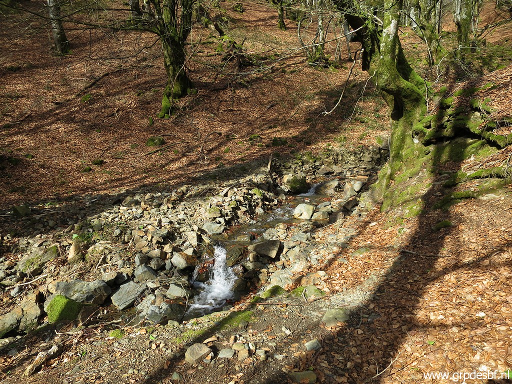 | which crosses this stream (click photo to enlarge) |
 | and then bends sharply and climbs SE to this fence. I cross the fence and descend - still going SE - (click photo to enlarge) |
 | to a next fence. Crossing the fence (click photo to enlarge) |
 | and through the forest SE downhill until this tarmac road (click photo to enlarge) |
 | which brings me to these buildings (click photo to enlarge) |
 | with bm149. (click photo to enlarge) |
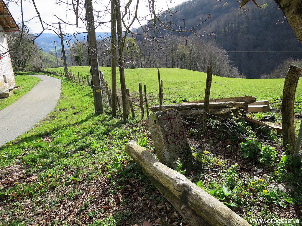
 | Bm139 (click photo to enlarge) |
 | Bm139 (click photo to enlarge) |
 | A view back (click photo to enlarge) |
 | to the Benta where bm137 is. (click photo to enlarge) |
 | I descend along the road to this road. Climbing over the fence and descending to (click photo to enlarge) |
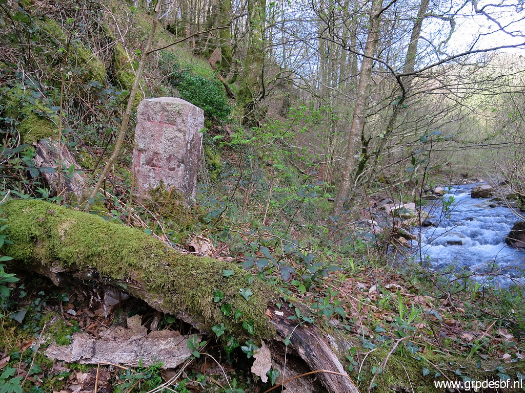
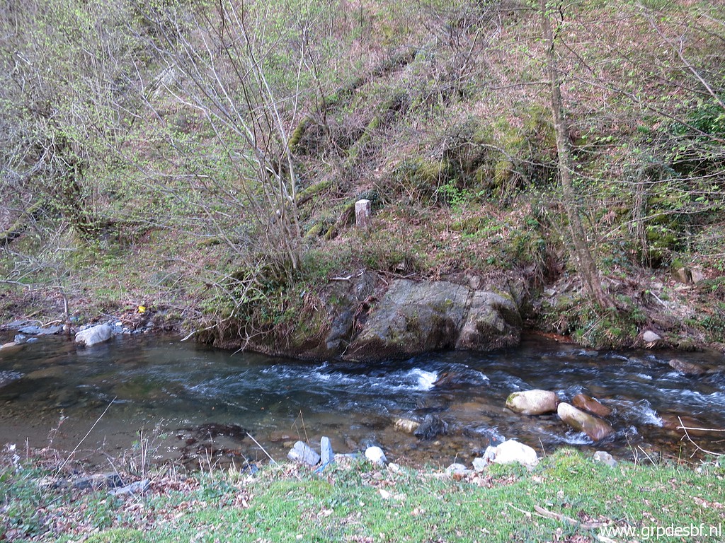 | the stream with at the opposite side bm140. (click photo to enlarge) |
 | Zoom-in to bm140. (click photo to enlarge) |
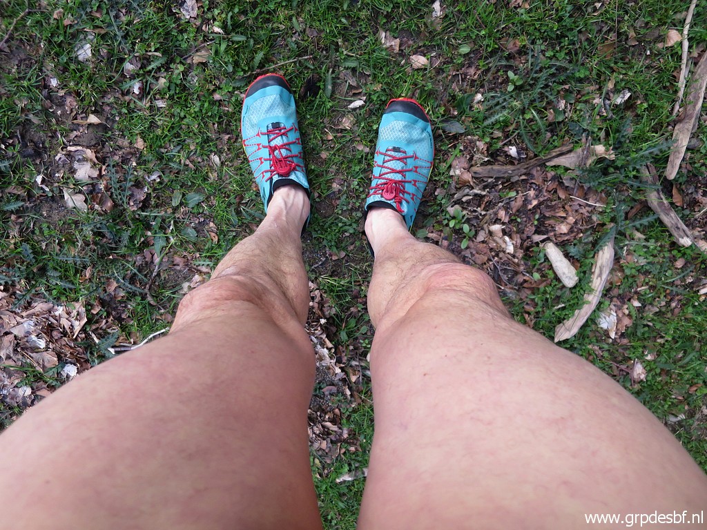 | But I want a close look and a close picture. So I take off my trousers and (click photo to enlarge) |
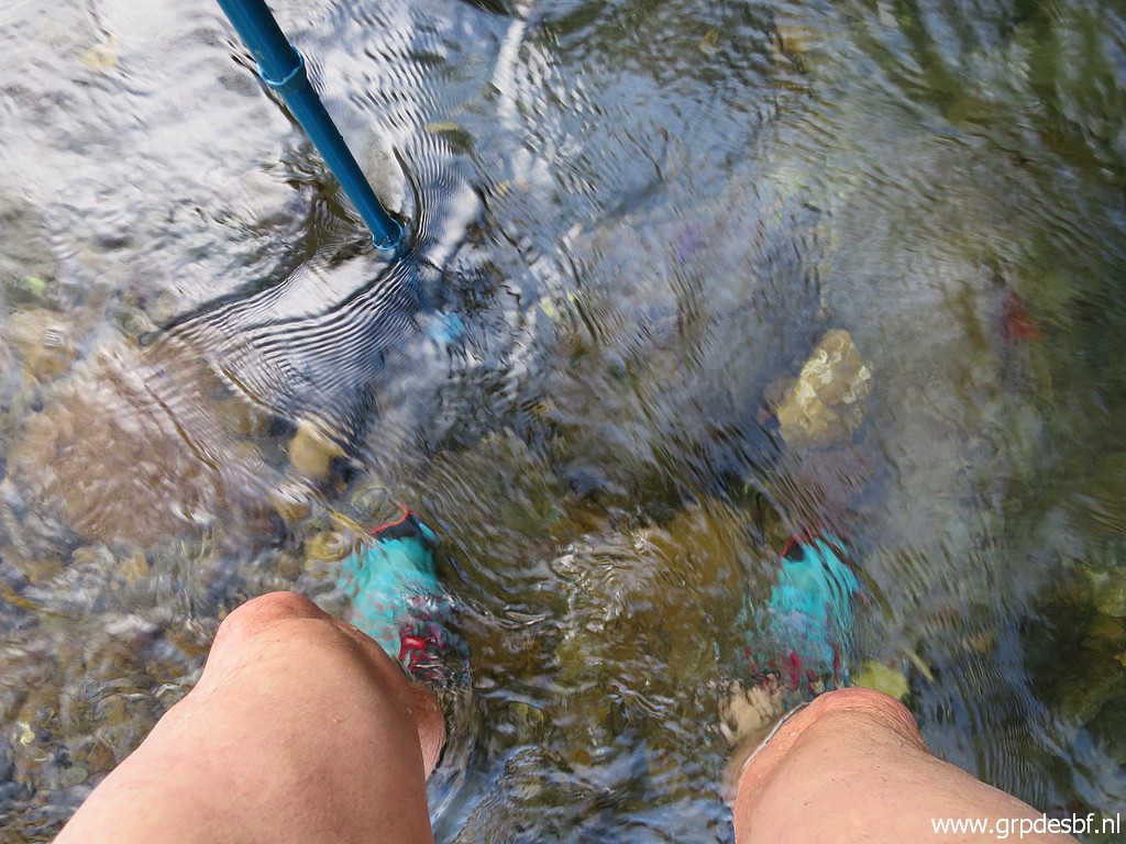 | wade through the stream (click photo to enlarge) |
 | to bm140. (click photo to enlarge) |
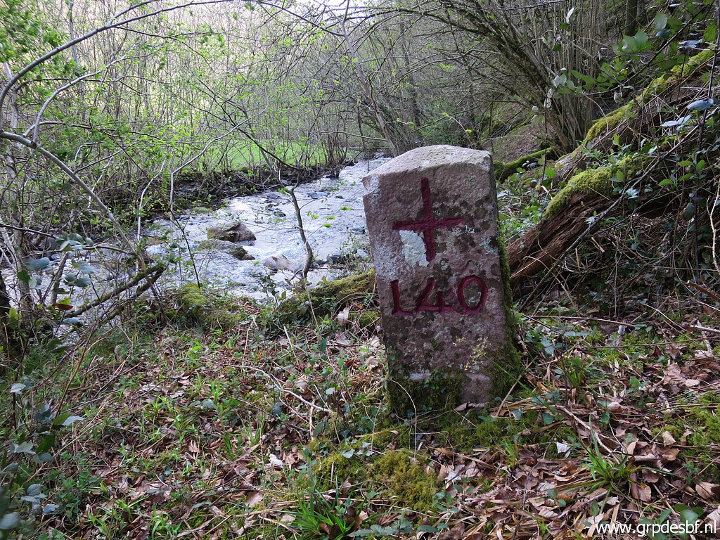 | Bm140 (click photo to enlarge) |
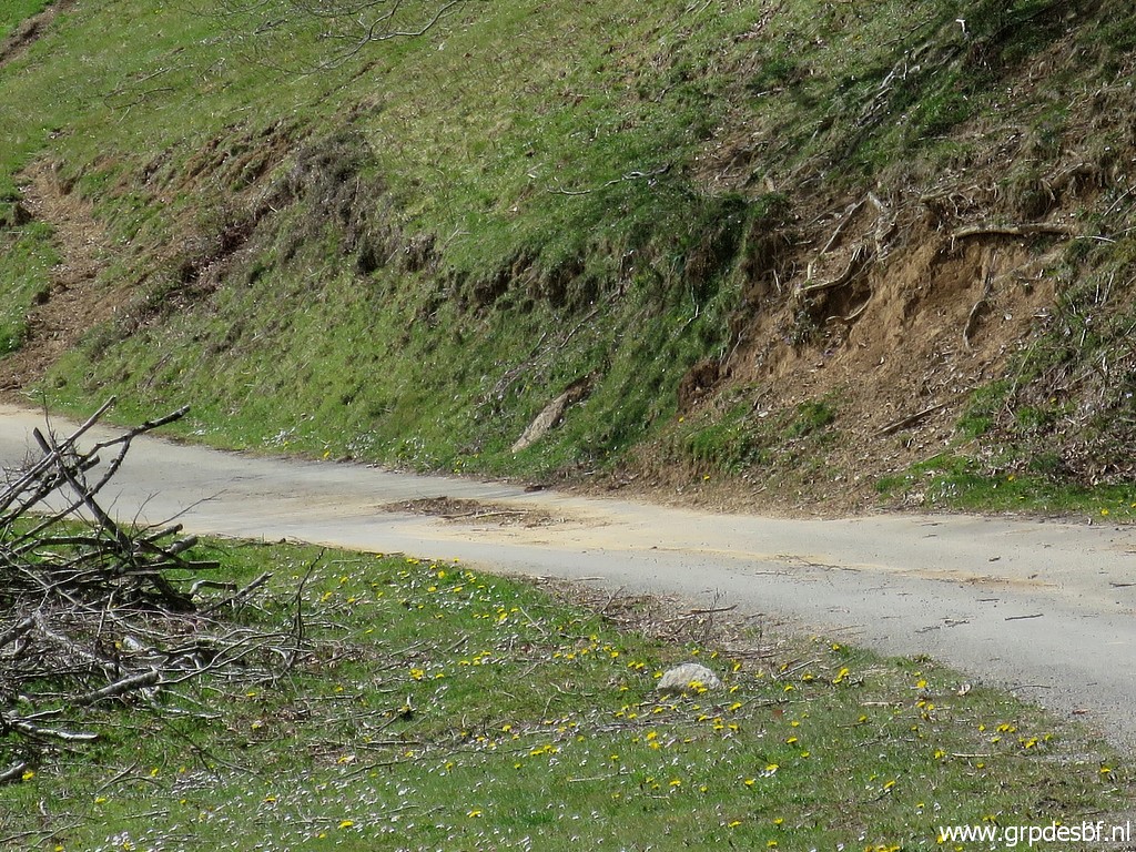
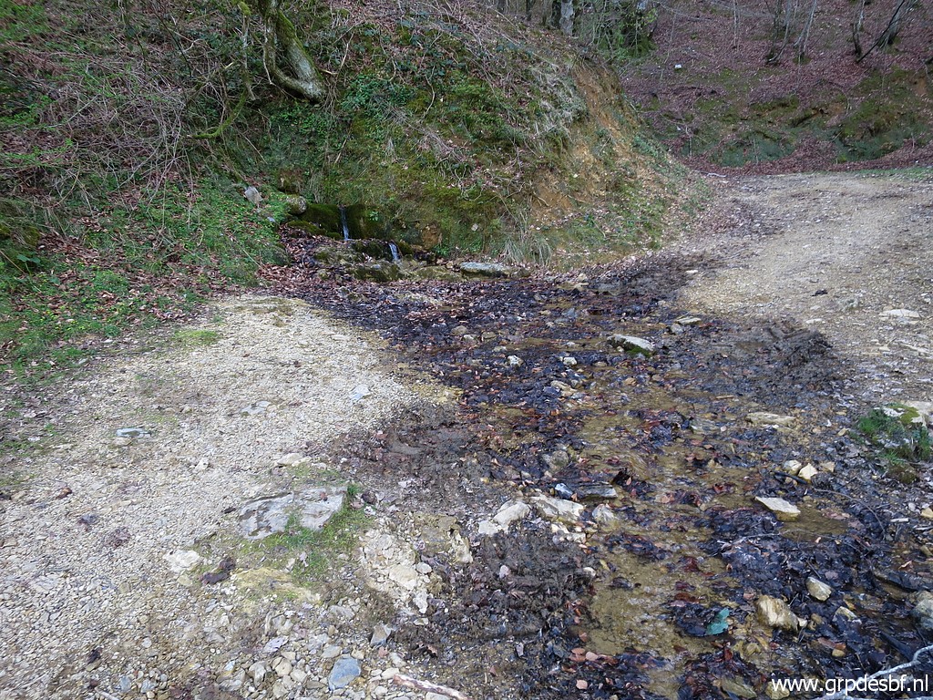
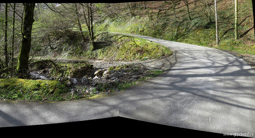 | Back to the road and continuing W until this bend of the road where it passes a stream. (click photo to enlarge) |
 | At the other side of the stream, immediately leaving the tarmac road and continuing on this trail (click photo to enlarge) |
 | which descends gently into the valley and (click photo to enlarge) |
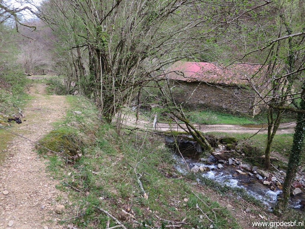
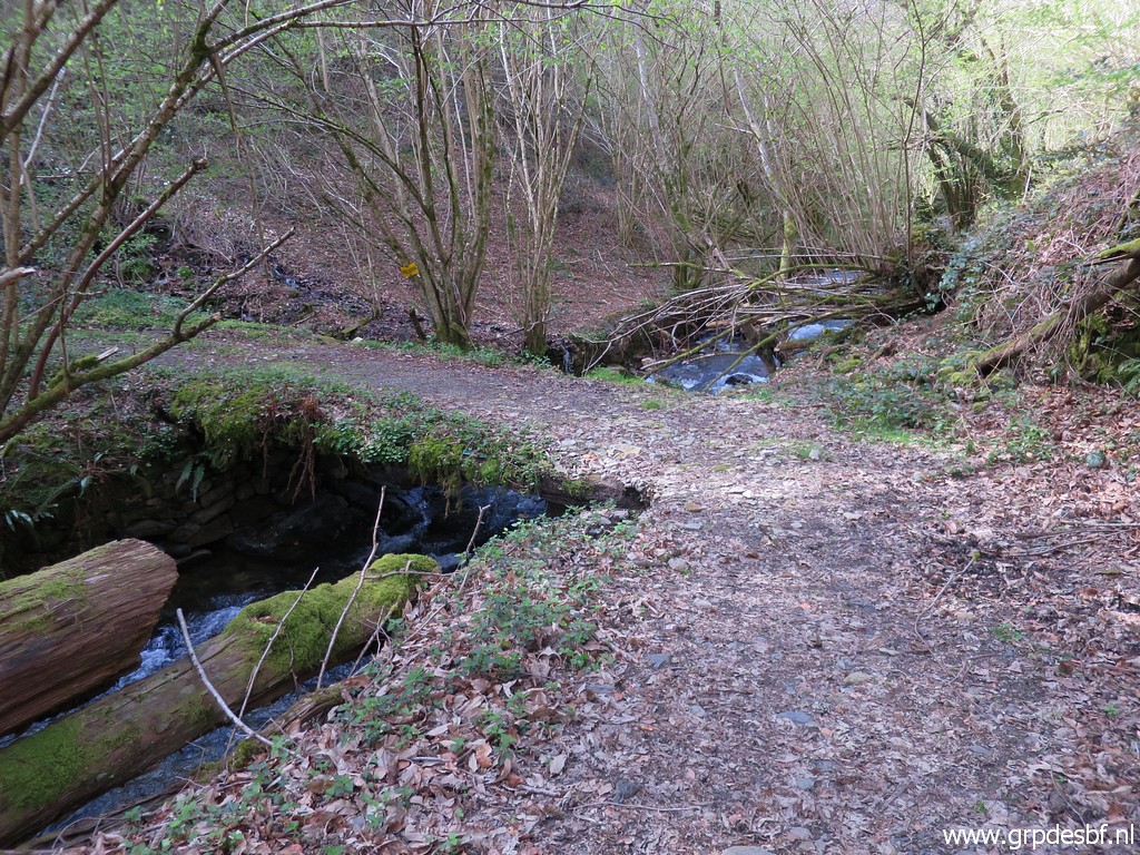 | crosses a stream on this bridge. (click photo to enlarge) |
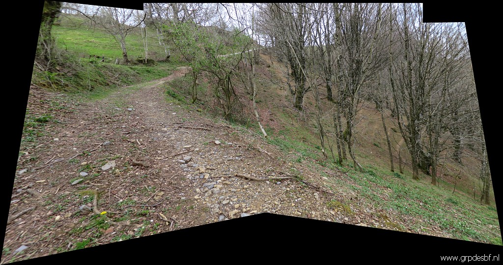
 | The track/dirtroad climbs again. Here I keep left (click photo to enlarge) |
 | and follow a trail which is no longer much used (click photo to enlarge) |
 | and maintained. (click photo to enlarge) |
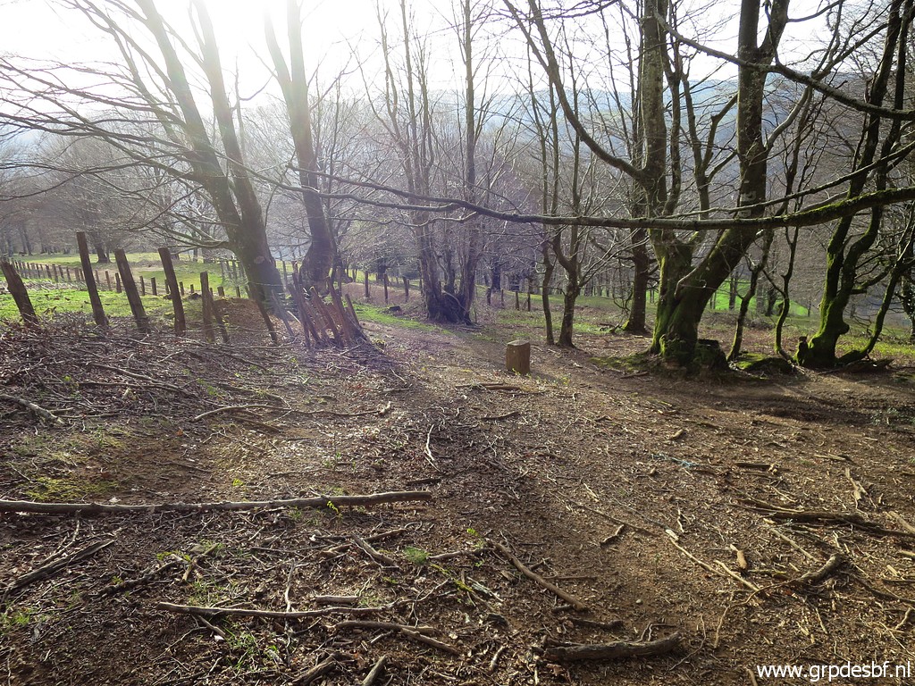
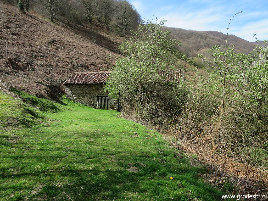 | Then the track gets better and passed this barn (click photo to enlarge) |
 |
where I pitched my tent on 7-5-2009. |
 | Another view back (click photo to enlarge) |
 | to Benta Baztan. (click photo to enlarge) |
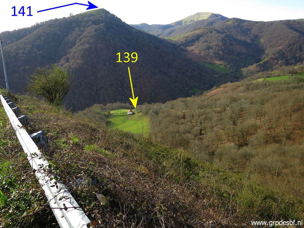
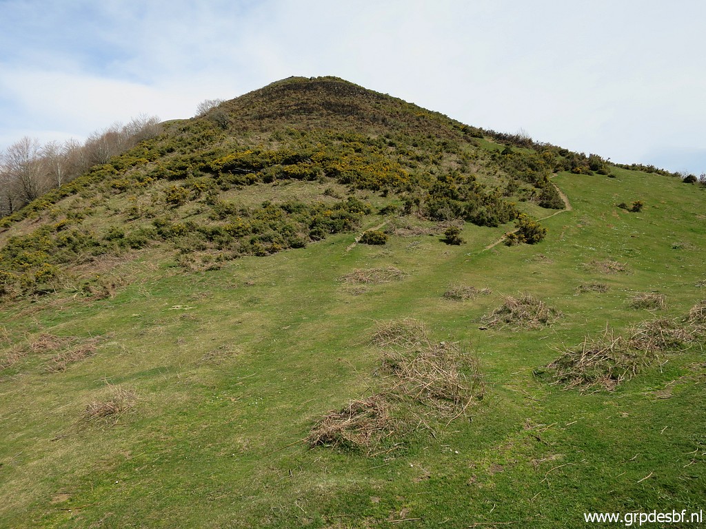
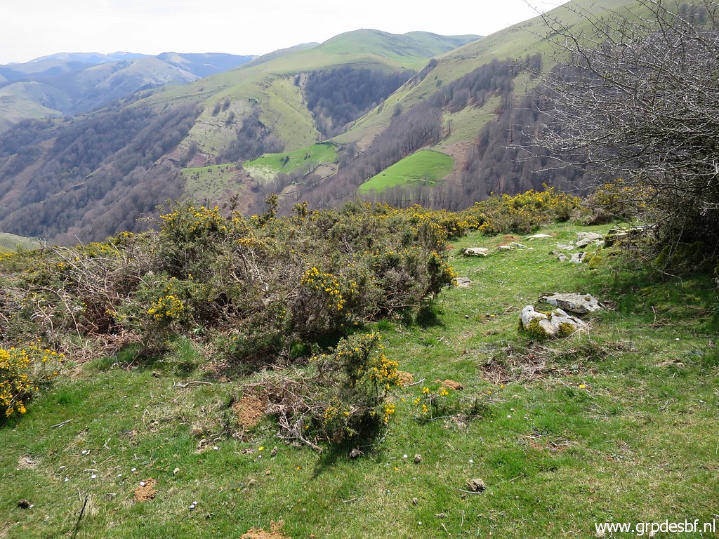
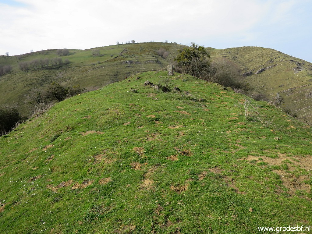
 | I climb further uphill until this sort of pass. Bm141 is at the hilltop in the far background. Now - on the hillridge - the wind is very strong. (click photo to enlarge) |
 | Climbing the hill (click photo to enlarge) |
 | and approaching the hilltop (click photo to enlarge) |
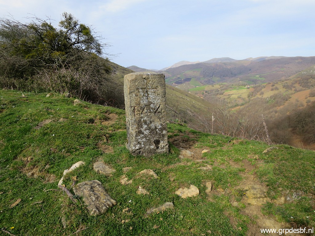
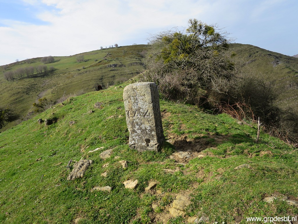
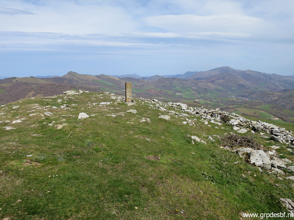 | with bm141. (click photo to enlarge) |
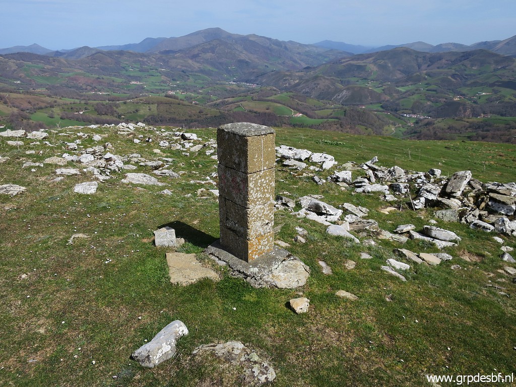 | Bm141 (click photo to enlarge) |
 | Bm141 (click photo to enlarge) |
 | Bm141 (click photo to enlarge) |
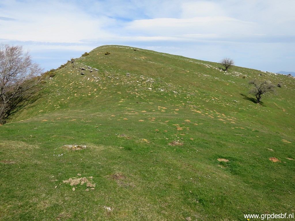
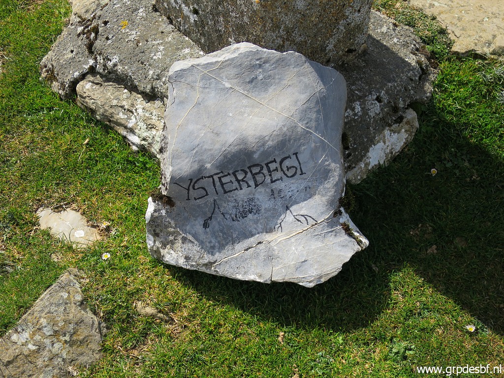 | Ysterbegi is the name of this summit (1027m altitude). The wind is now so strong that it's even difficult to walk. (click photo to enlarge) |
 | Descending directly to bm142 (like I did on 8-5-2009 is now more difficult because of the broom bushes. (click photo to enlarge) |
 | So I make a detour NEE to the pass of Korrotako lepeo to pick up (click photo to enlarge) |
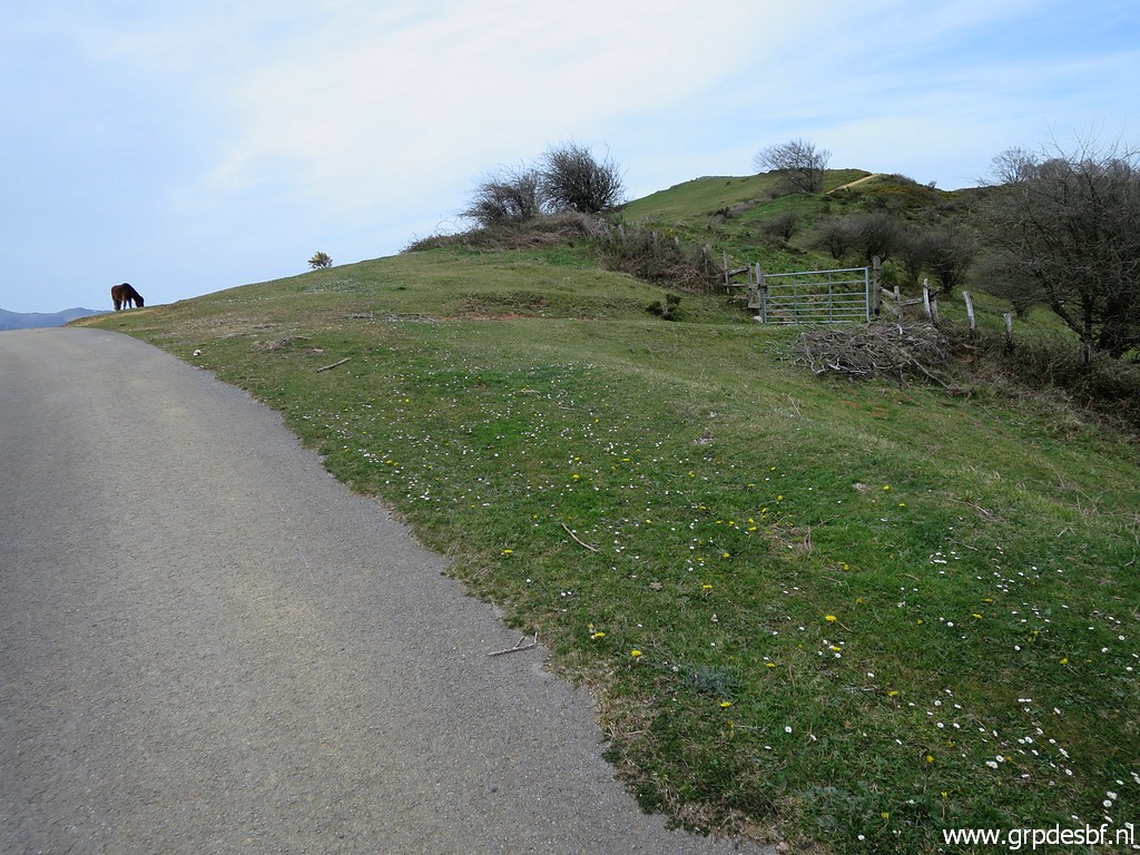
 | the tarmac road which brings me to (click photo to enlarge) |
 | bm142. (click photo to enlarge) |
 | Bm142 (click photo to enlarge) |
 | Bm142 (click photo to enlarge) |
 | Bm142 (click photo to enlarge) |
 | Bm142 (click photo to enlarge) |
 | Then it's time for a lunch break in the lee of the wind. (click photo to enlarge) |
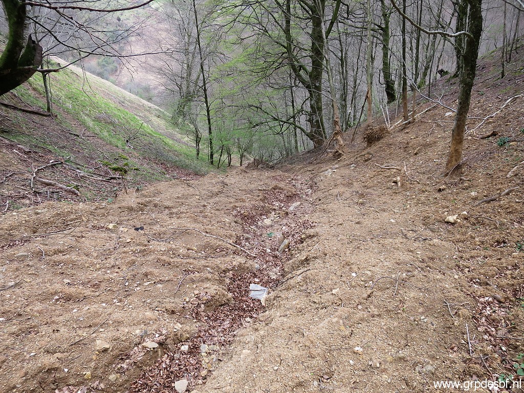
 | Then descending SEE which (click photo to enlarge) |
 | is not difficult in the beginning. (click photo to enlarge) |
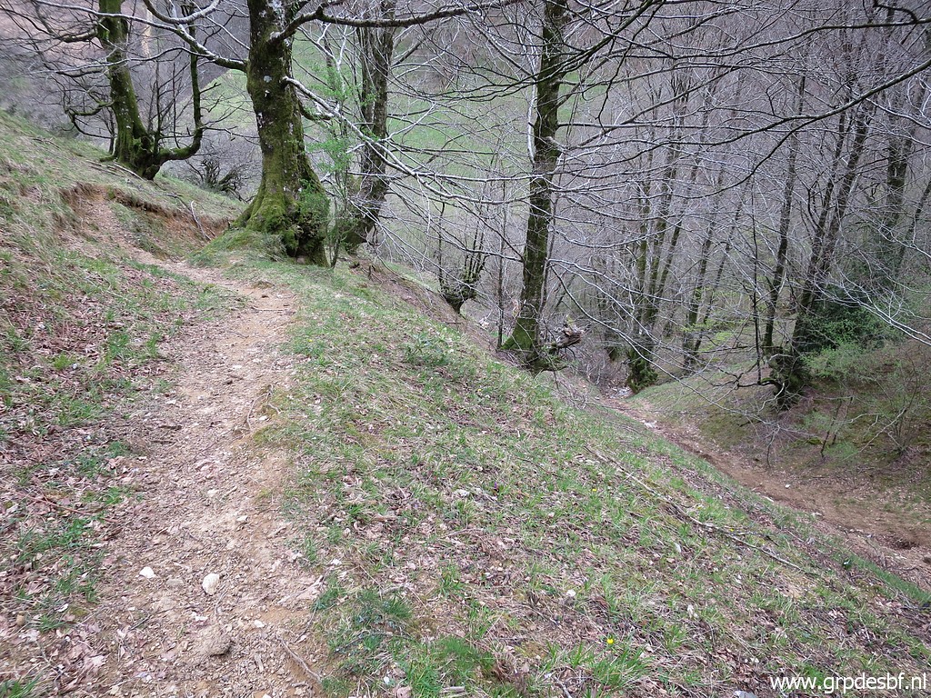
 | I remember these double rocky humps where you can pass through. (click photo to enlarge) |
 | Another view of these humps which form a sort of balcony. Beyond it, the hillside becomes steeper and more difficult to descend. Also because of my backpack and the moist ground. (click photo to enlarge) |
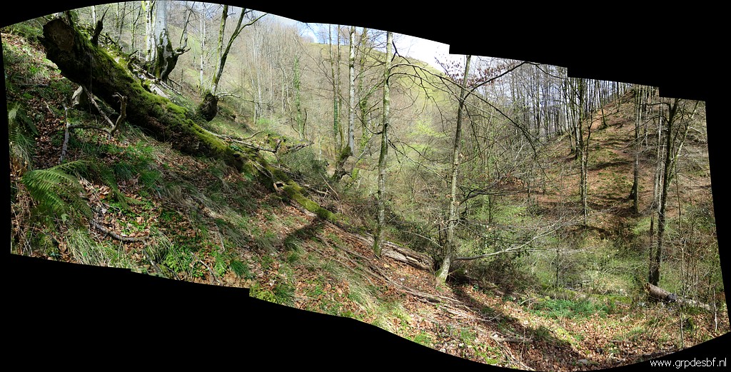 | My target is bm143 and that's somewhere on this hillside near the stream in the bottom of the valley. A gps diminishes considerably in accuracy in a forest, even more on a forested hillside. I have a waypoint but no bm143 at that point. (click photo to enlarge) |
 | But then I suddenly spot bm143 lower on the hillside. (click photo to enlarge) |
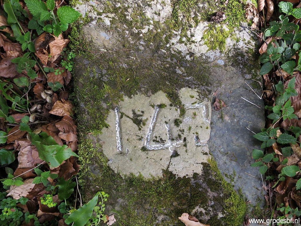
 | Zoom-in to bm143. (click photo to enlarge) |
 | Another view from above to bm143 and (click photo to enlarge) |
 | again a zoom-in. (click photo to enlarge) |
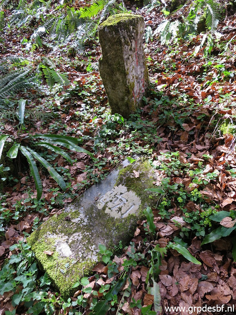
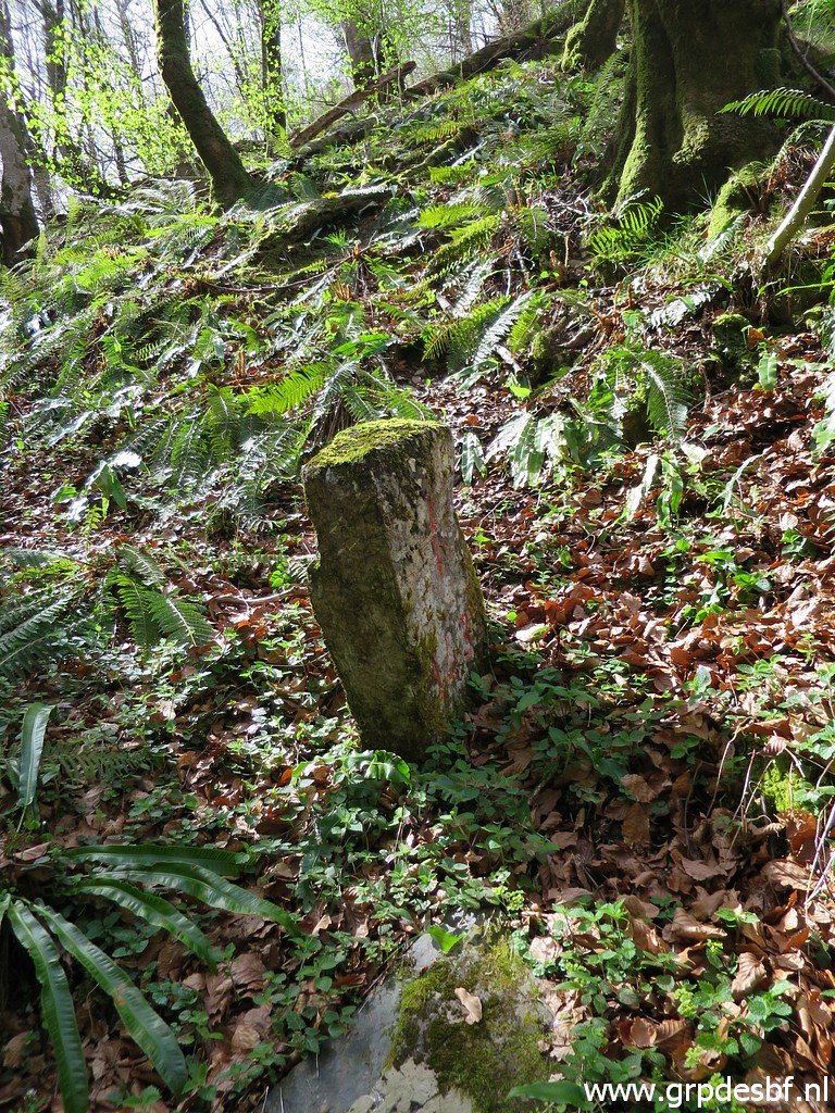
 | Bm143 (click photo to enlarge) |
 | Bm143 (click photo to enlarge) |
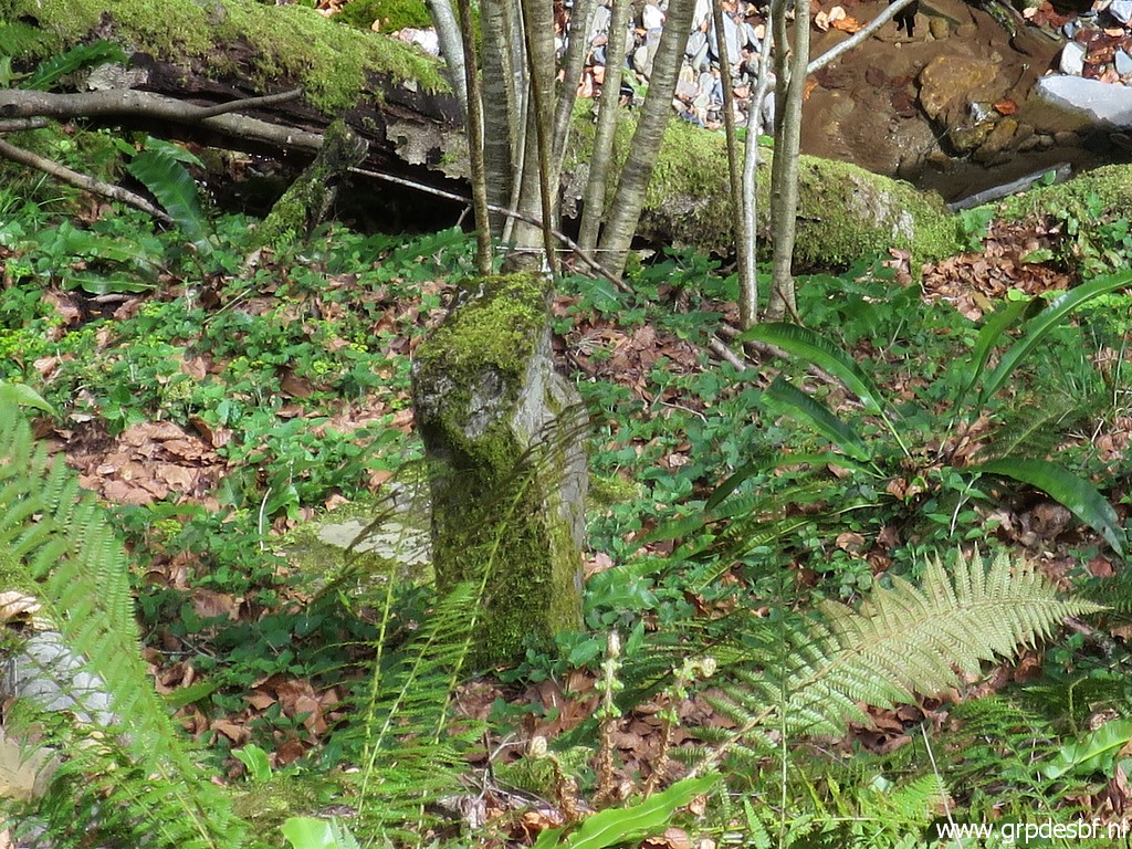
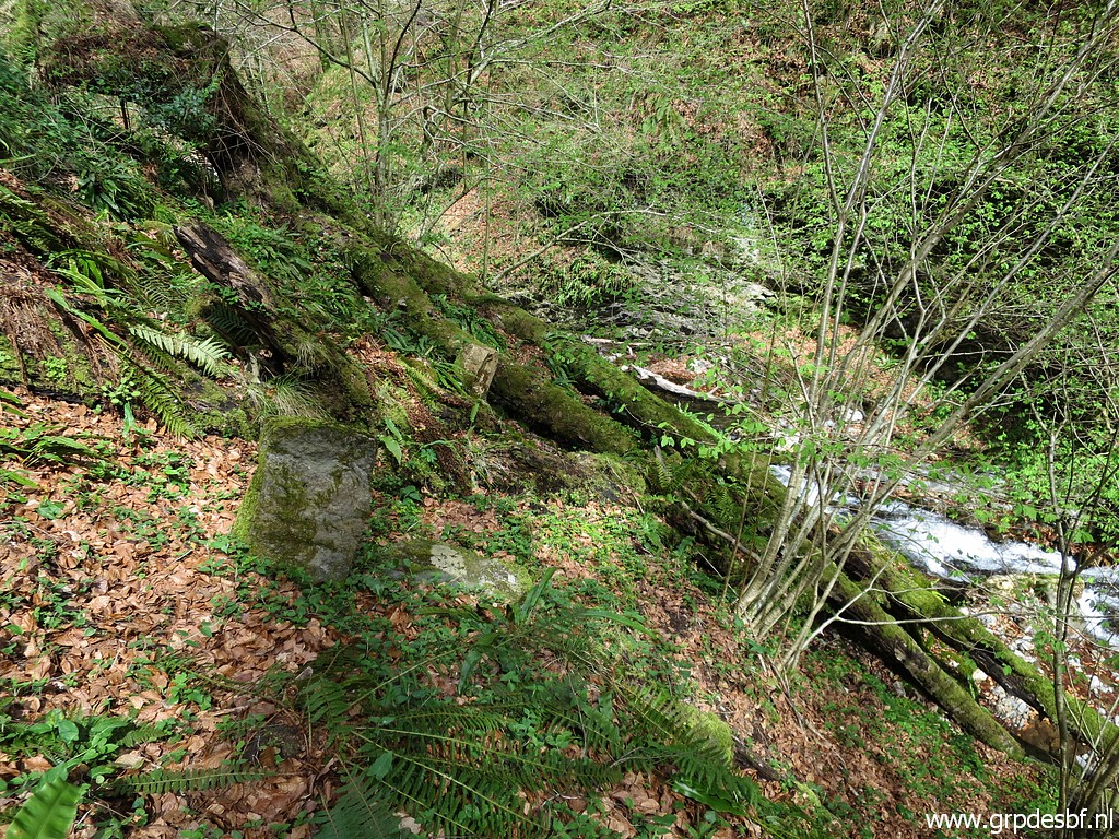
 | Bm143 is split in half. The other half is lying besides it. (click photo to enlarge) |
 | Bm143 (click photo to enlarge) |
 | Bm143 (click photo to enlarge) |
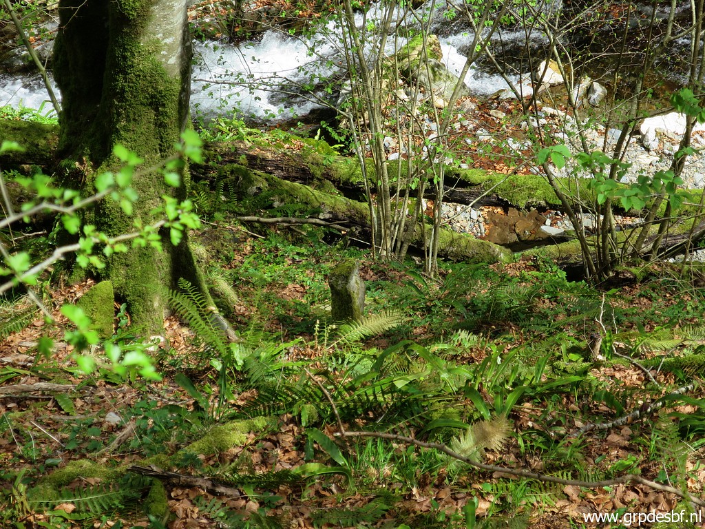
 | Bm143, the last picture. (click photo to enlarge) |
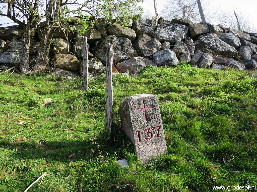
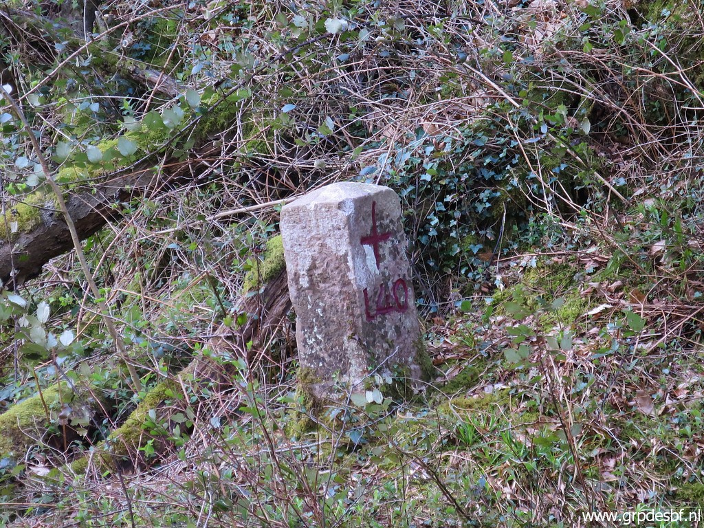
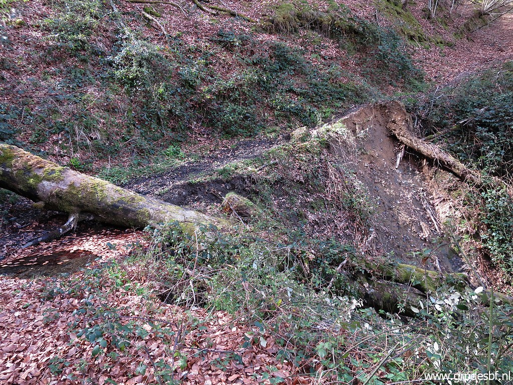
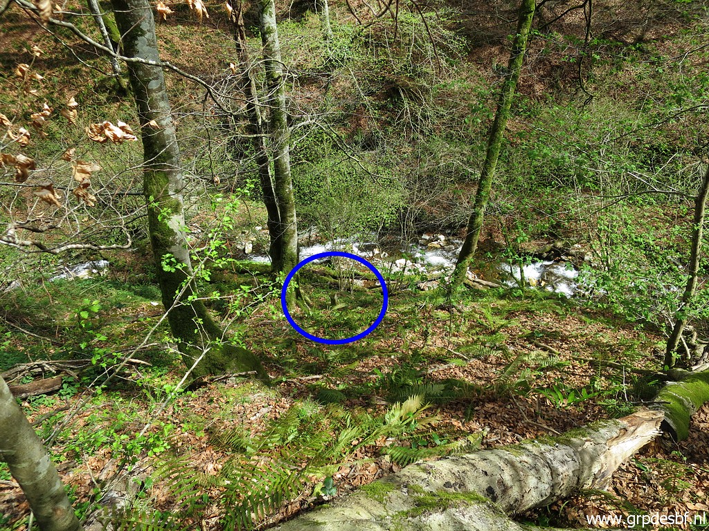
 | This sign might help you to find bm143, it is ± 20m to the S. I find the last part to the stream too steep, also the other side. That's a pity because that would be the shortest route to bm144. So I have to find another route. (click photo to enlarge) |
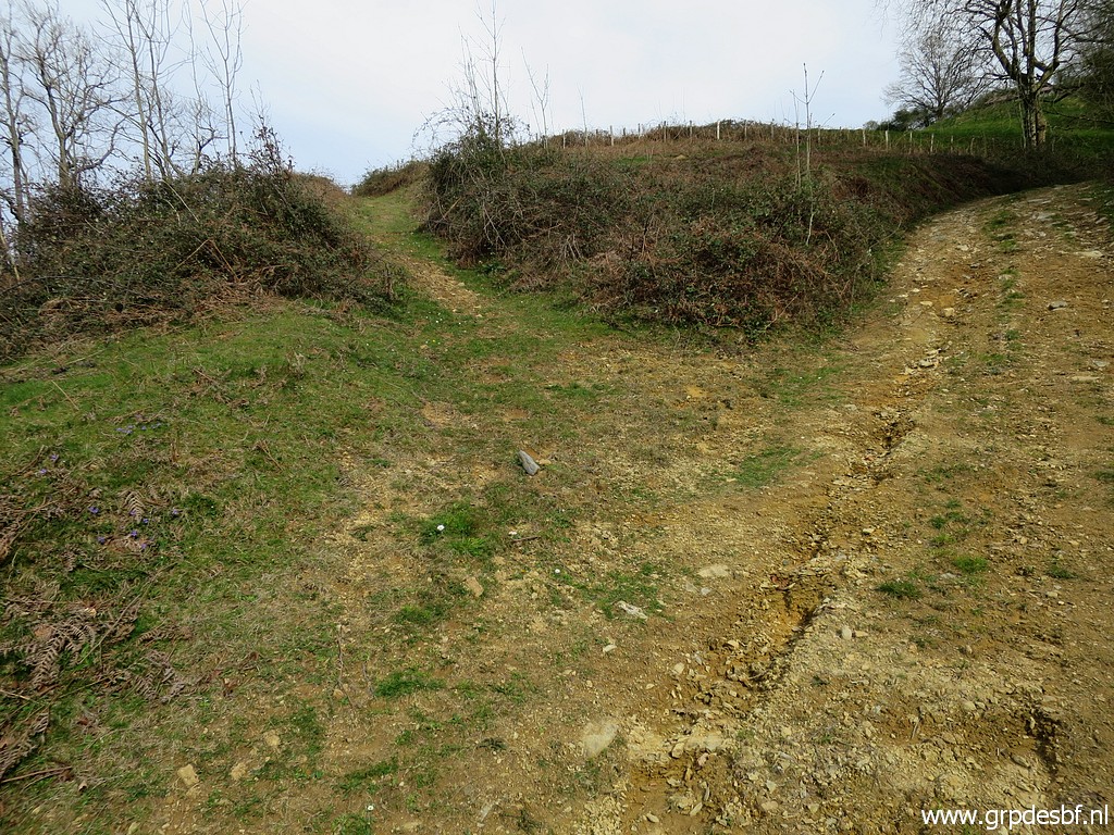
 | So I climb back and this is a dirtroad in between bm143 and the tarmac road. It brings me back to (click photo to enlarge) |
 | the pass of Korrotako lepeo which is here. I cross the gate to the right (click photo to enlarge) |
 | and further on descend directly to the edge of the forest. (click photo to enlarge) |
 | Having climbed the fence and following this cattle trail for a while. (click photo to enlarge) |
 | But I am still too high and have to descend further. (click photo to enlarge) |
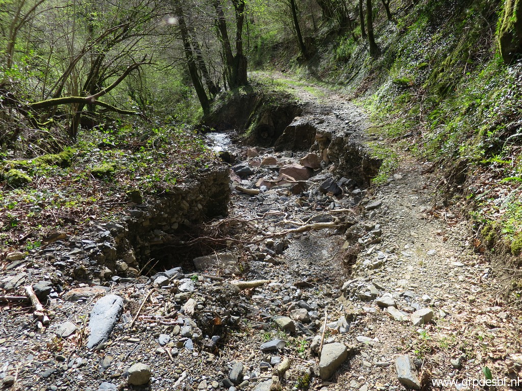
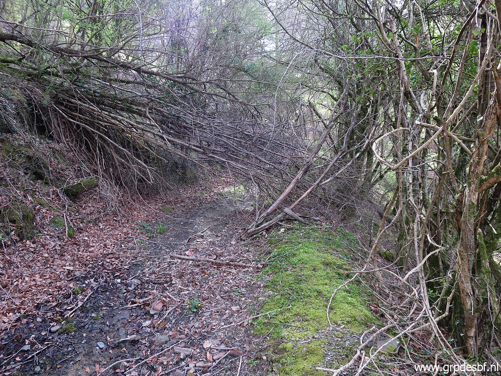
 | Then I reach this kind of trail cq mudstream which begins in the background. (click photo to enlarge) |
 | I descend now along the mudstream cq trail, the trail (click photo to enlarge) |
 | becoming more distinct and (click photo to enlarge) |
 | arriving at this bridge (click photo to enlarge) |
 | with this gate to cross. (click photo to enlarge) |
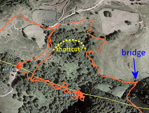 |
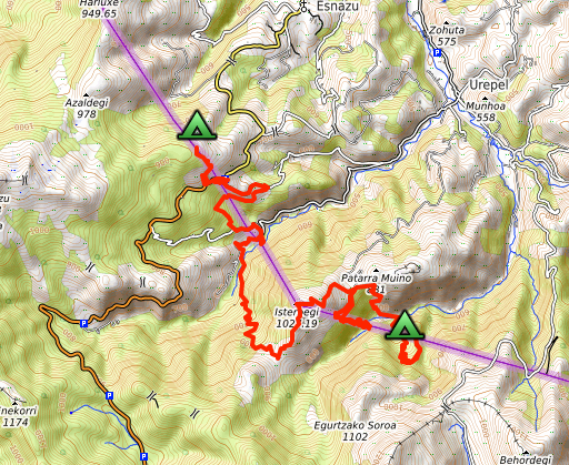
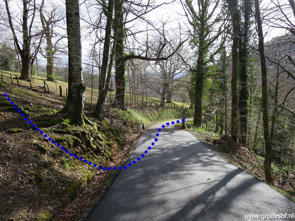
Now let's view my route on this Google Earth-background. Crossing the stream below bm143 would be the shortest way. If that is not possible, then the route I followed today BUT with the possible shortcut indicated. I will check that possibility on 14-4-2022. |
 | From the bridge I follow the dirtroad uphill, sometimes quite steep, until this spot where I go left on a track (click photo to enlarge) |
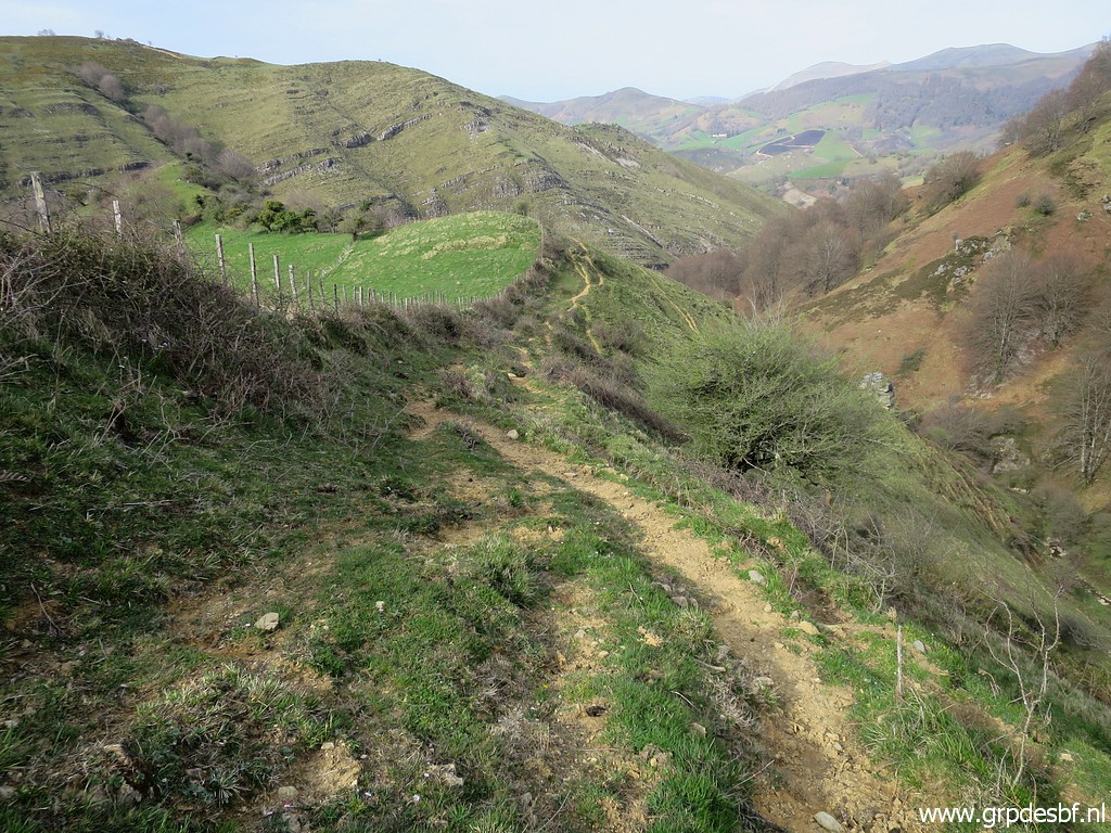 | to get at the ridge (click photo to enlarge) |
 | which brings me to bm144. (click photo to enlarge) |
 | Bm144 (click photo to enlarge) |
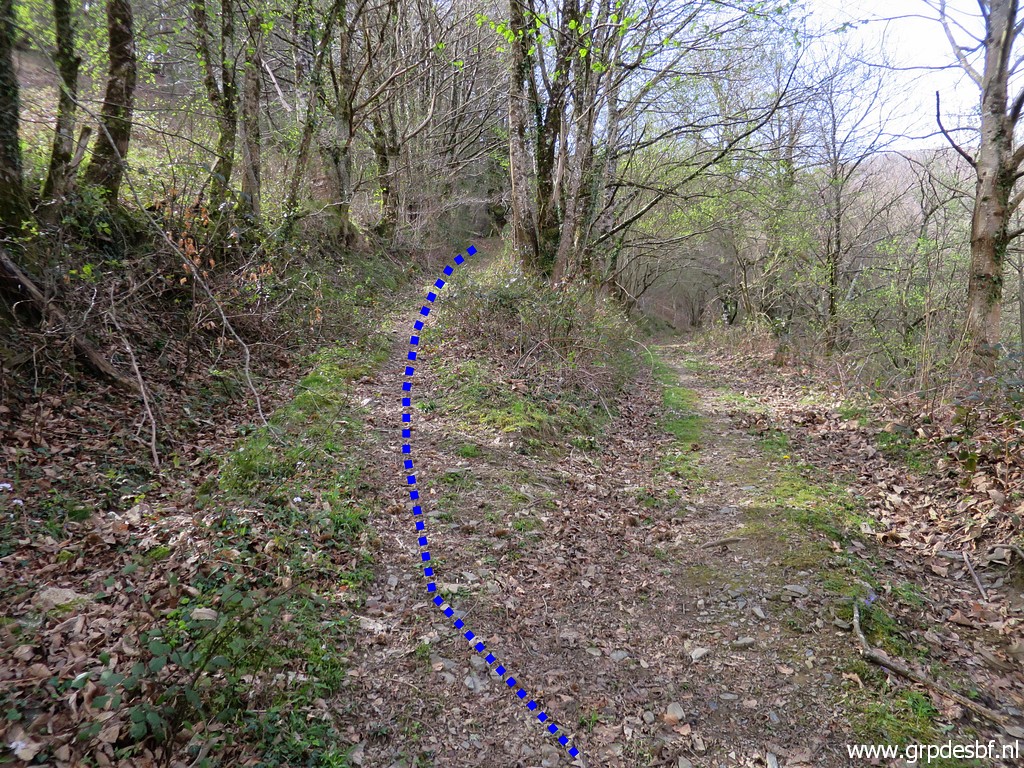
 | Bm144 On 8-5-2009 I descended directly steeply to a stream and then climbed straight uphill. But now I have seen a more easy approach to bm145. Go back on the ridge and descend on cattle tracks to the stream and then climb the hill as indicated by the blue dotted line. (click photo to enlarge) |
 | Bm144 (click photo to enlarge) |
 | Bm144 (click photo to enlarge) |
 | Bm144, looking back. (click photo to enlarge) |
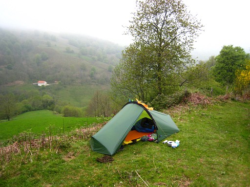
 | Time to find a place to sleep. I return to the dirtroad and while descending I spot to the left (at a bifurcation of the dirtroad) a source. Perfect to fill my water bottles for the night. (click photo to enlarge) |
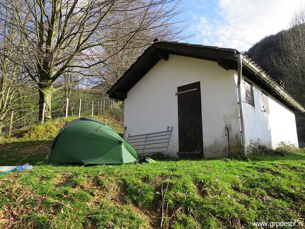 | I end up after this cabin. (click photo to enlarge) |
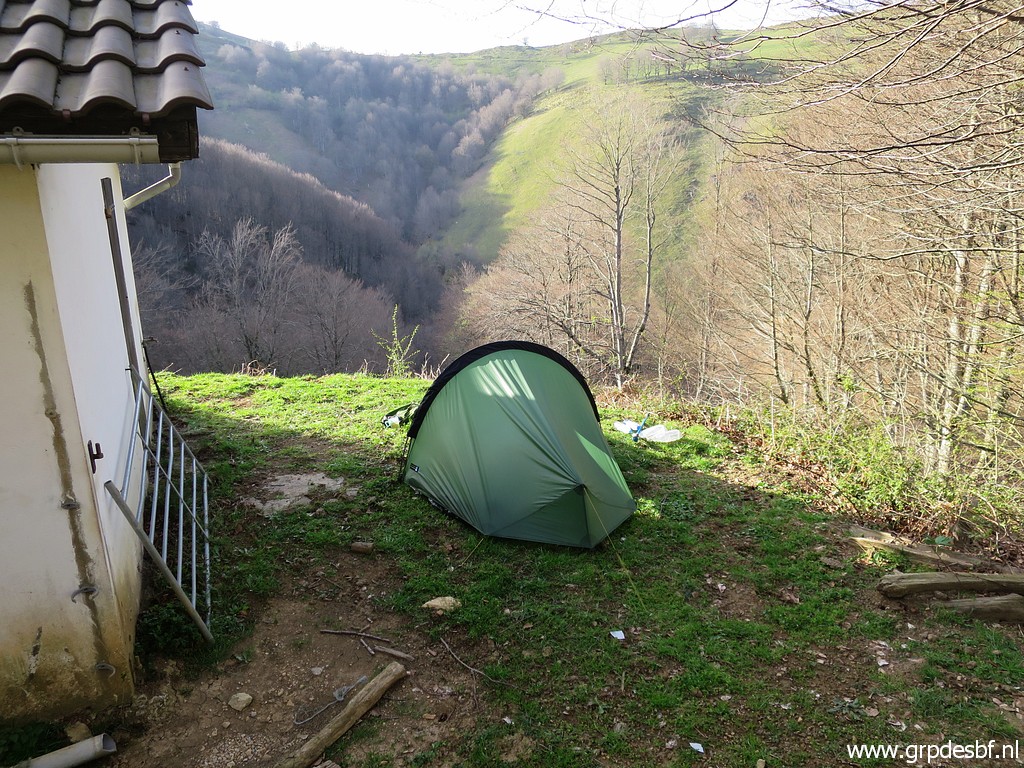 | At night, it starts to rain and the water invades my tent. I miss my 'bathtub' inner tent ...... The following morning, I decide to stop. My time schedule is getting too tight because of my appointments with Carlos & Conchita Roca two days later. But most of all: I'm tired. It has been tough days of backpacking, probably due to a virus infection (influenza or like, no covid19). (click photo to enlarge) |
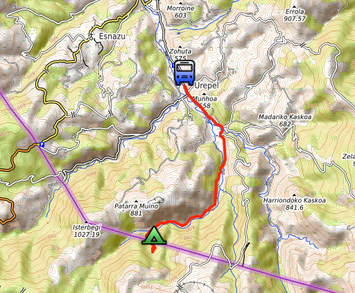 |
So - the next day - I descend nice and easy 6 kilometers to Urepel. I am lucky to arrive just in time to catch the bus to Saint-Étienne-de-Baïgorry where my car is parked. |
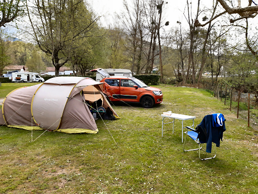 |
Camping Irouleguy will be my basecamp for the next days. |