|
The
bordermarkers of the Pyrenees : all my trips
|
|
| -
sunday 3 september
2023 - Revisiting bm331  previous
trip
next
trip previous
trip
next
trip  |
 |
 |
Summary:
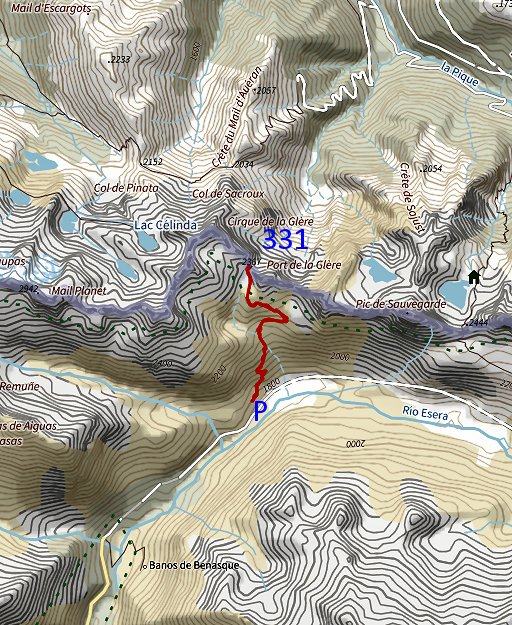
part of a series of 9 daytrips in september 2023. This is day 3. Today: a short climb to redo bm331, I did this one for the last time at least 10 years ago. Weather: cloudy in the first half, sunny while returning. |
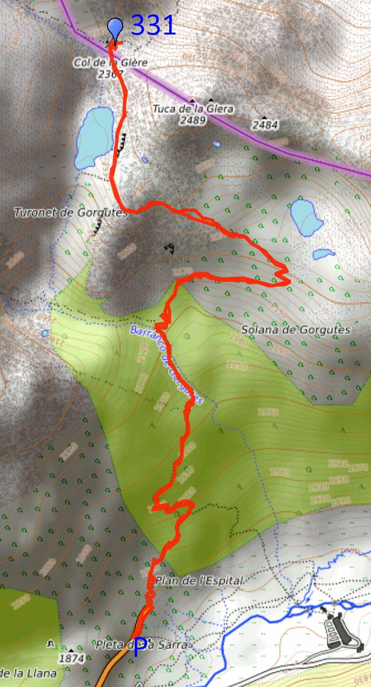 track-20230903.gpx
This gpx-track has not been manually corrected which explains the inaccuracy and misalignment at some points. The original elevation recording has been replaced by more accurate DEM-data with Gpsvisualizer.com. For cartographic backgrounds: see the cartography-page Gps-waypoints of all bordermarkers (most recent version): kml: esfr-bordermarkers-all-waypoints.kml gpx: esfr-bordermarkers-all-waypoints.gpx (with reliable elevation data added by gpsvisualizer.com) |
|
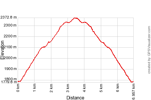 |
According to Garmin
Basecamp (uncorrected track with elevation added by Gpsvisualizer.com): Distance: 7,0 km Max-height: 2373m Min-height: 1780m Elevation: +619m -619m Total elevation: 1238m Start 11:46 Finish 15:16 Total time: 3:31 |
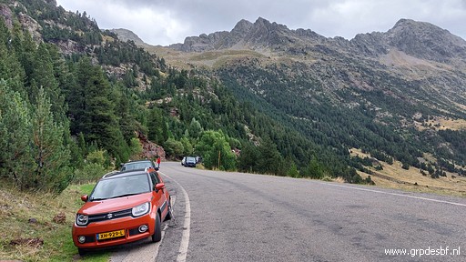 | In the morning I drive from camping Espalias in Bossóst to beyond Benasque. At the end of a wide tarmac road, I park my car. I wonder why this road is so wide and stops so suddenly. As if they planned at one time a tunnel to Bagnères-de-Luchon. (click photo to enlarge) |
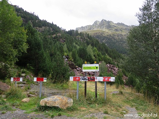 | This is the end of the road and the start of the trail to bm331. (click photo to enlarge) |
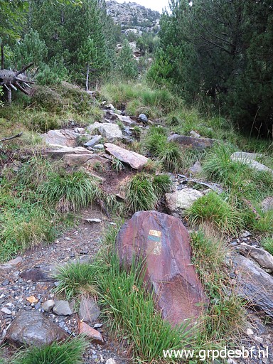 | Yellow-green waymarkings, starting to climb through a forest and (click photo to enlarge) |
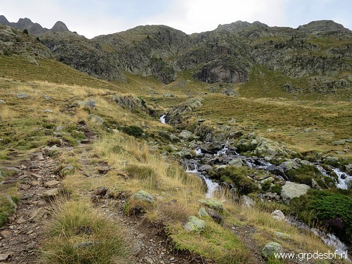 | arriving at open terrain (click photo to enlarge) |
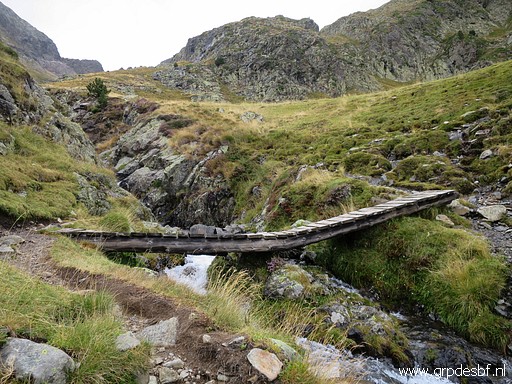 | to cross the stream here. (click photo to enlarge) |
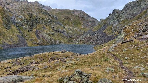 | Later on arriving at this lake with the Port de la Glère already in sight. (click photo to enlarge) |
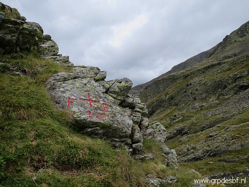 | At the Port, bm331 is on a rock considerably above the pass. It took me 1,5h to get here. (click photo to enlarge)) |
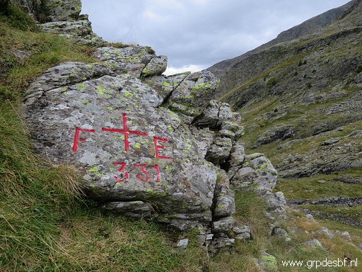 | Bm331 (click photo to enlarge) |
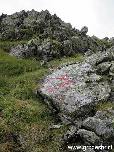 | Bm331 (click photo to enlarge) |
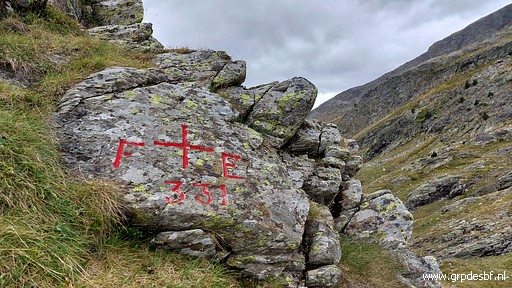 | Bm331 (click photo to enlarge) |
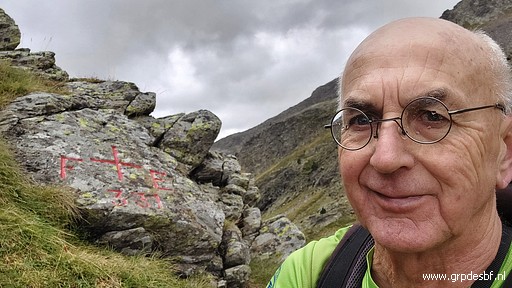 | Bm331 (click photo to enlarge) |
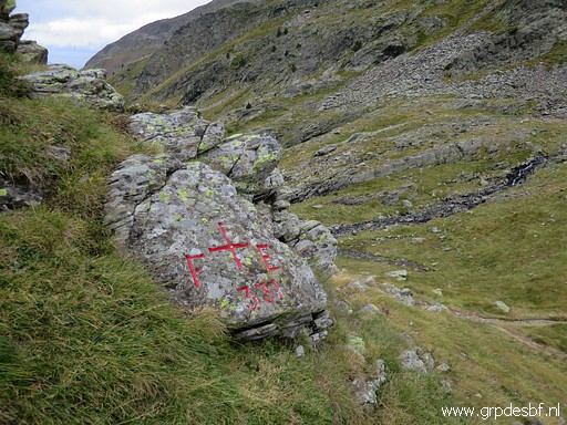 | Bm331, looking down at the pass. (click photo to enlarge) |
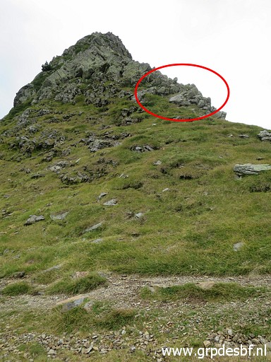 | View from the pass to bm331. (click photo to enlarge) |
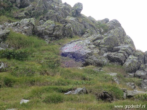 | Zoom-in to bm331. (click photo to enlarge) |
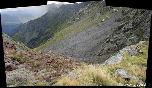 | From the pass, this view into France. (click photo to enlarge) |
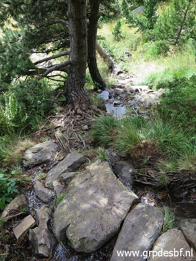 | Then returning to my car, this is the last rocky part. (click photo to enlarge) |
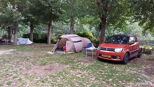 | I end up at the pleasant camping Aneto. (click photo to enlarge) |
 previous
trip
next
trip previous
trip
next
trip 
|
|
