|
The
bordermarkers of the Pyrenees : the GRPdesBF
 |
|||||||||||||||||||||||||||||||||||||||||||||||||
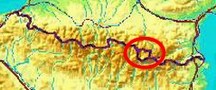
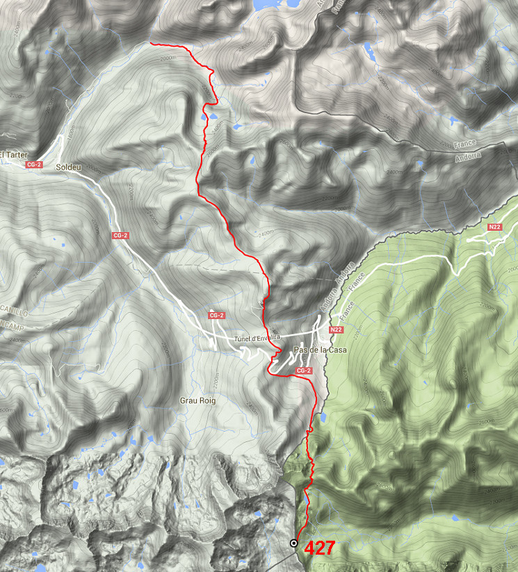
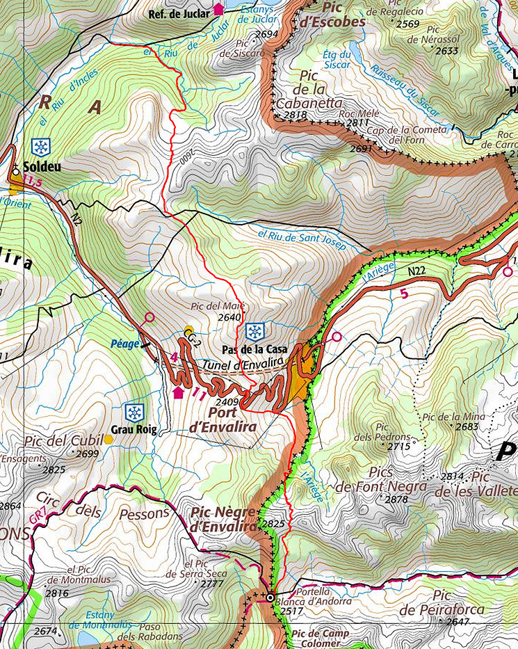
| - stage 40 - Vall d'Incles - Portella Blanca (bm427) |
 |
||||||||||||||||||||||||||||||||||||||||||||||||
 |
|||||||||||||||||||||||||||||||||||||||||||||||||
| Only
the bordermarkers on this stage are shown (and some adjoining ones).
The main route is red, the variants have other colors. Click here for an fullscreen interactive map. In short After 2 days of crossing Andorra without seeing any bordermarker, you will today finally reach the next one: bm427 at the Portella Blanca. Starting from the hamlet of Incles, you will find your way southwards, passing Pas de la Casa where you can experience a submersion into the world of taxfree-shopping. And then it's 2-3 hours to Portella Blanca d'Andorra. Considerations In general well-waymarked or easy to navigate. Water is however scarce in the central 'high ridges' part. Those high ridges can be very windy, be careful in bad weather. In the first part and near Portella Blanca enough spots for a bivouac. Factsheet
Gps-files needed
Useful You might check the relevant webpages in the 'All markers'-section and 'All my trips'-section. They provide pictures of the bordermarkers and additional information. Version 02 January 2016. If you have any correction, suggestion etcetera -> please email me: eefberns@grenspalen.nl MAPS AND DIRECTIONS Print your own maps It's easy to print your own - custom made - maps with the GRPdesBF-route and the bordermarkers on them. See: Print your own maps |
|||||||||||||||||||||||||||||||||||||||||||||||||
 |
|||||||||||||||||||||||||||||||||||||||||||||||||
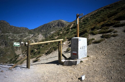 |
Bm427 |
||||||||||||||||||||||||||||||||||||||||||||||||
| |
|||||||||||||||||||||||||||||||||||||||||||||||||