|
The
bordermarkers of the Pyrenees : all markers
 |
|
| Bordermarkers 230-236 |
 |
| Notice The pages of the day-trips may give additional information on coordinates, localisation, surroundings and access. They also show (additional) maps. Click on the date-links in the right column. |
|
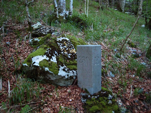 |
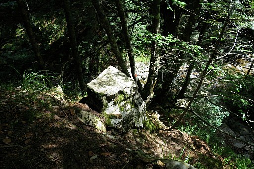
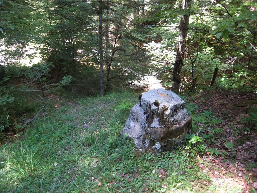
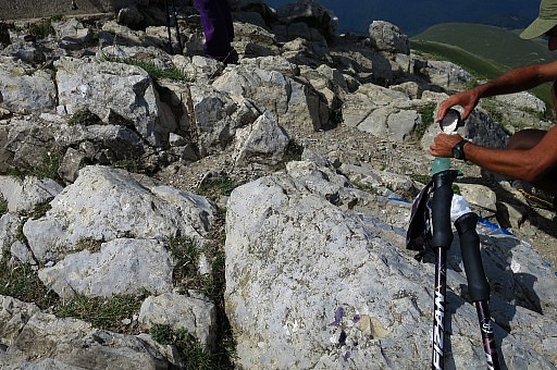
Bm230, cross and stone Photographed on 20090531 (more pictures on that page) |
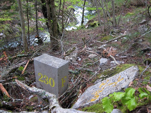 |
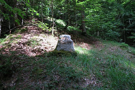
Bm230 Photographed on 20100507 (more pictures on that page) |
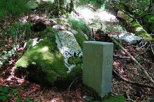 |
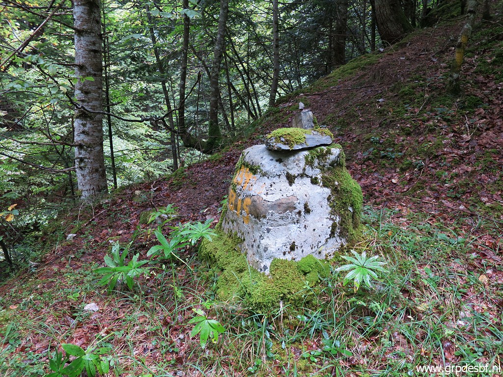
Bm230 Photographed on 20170728 (more pictures on that page) |
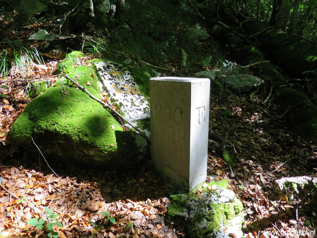 |
Bm230 Photographed on 20200906 (more pictures on that page) (click photo to enlarge) |
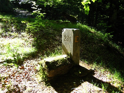 |
Bm231 Photographed on 20090531 (more pictures on that page) |
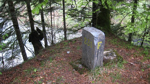 |
Bm231 Photographed on 20100507 (more pictures on that page) |
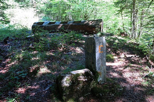 |
Bm231 Photographed on 20170728 (more pictures on that page) |
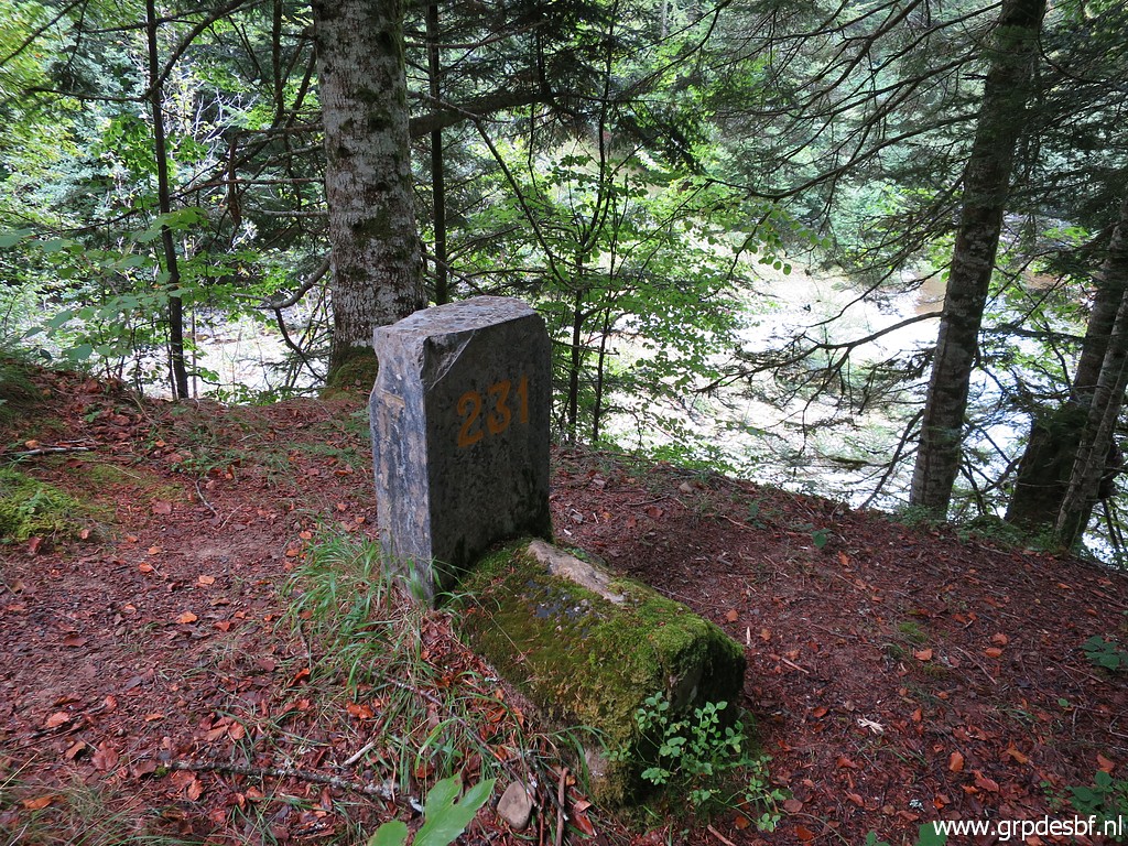 |
Bm231 Photographed on 20200906 (more pictures on that page) (click photo to enlarge) |
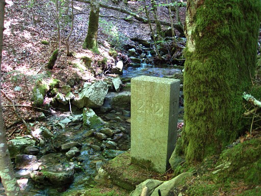 |
Bm232 Photographed on 20090531 (more pictures on that page) |
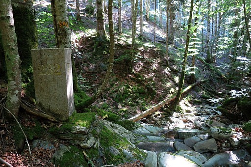 |
Bm232 Photographed on 20170728 (more pictures on that page) |
 |
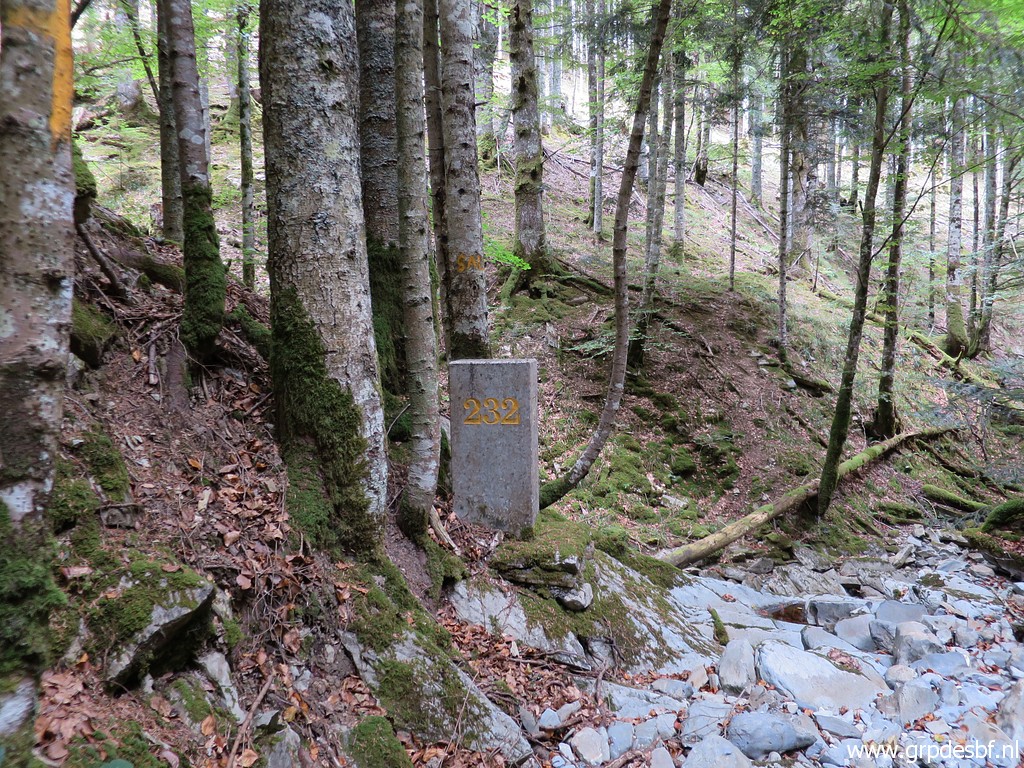
Bm232 Photographed on 20190724 (more pictures on that page) (click photo to enlarge) |
 |
Bm232 Photographed on 20200906 (more pictures on that page) (click photo to enlarge) |
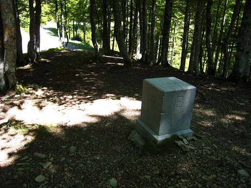 |
Bm233 Photographed on 20090531 |
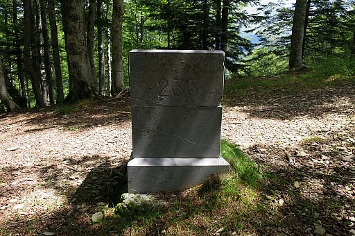 |
Bm233 Photographed on 20170730 (more pictures on that page) |
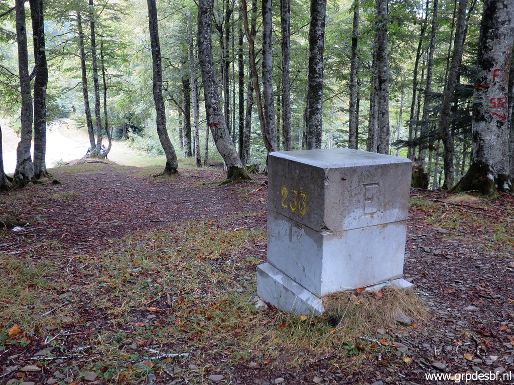 |
Bm233 Photographed on 20200906 (more pictures on that page) (click photo to enlarge) |
 |
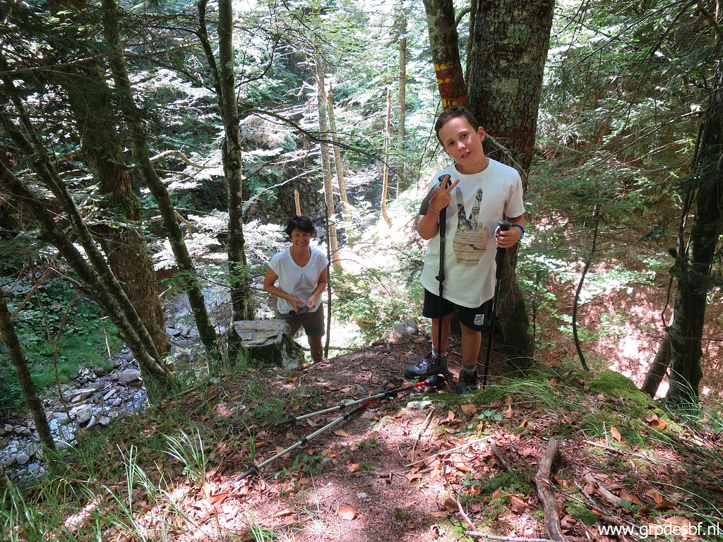
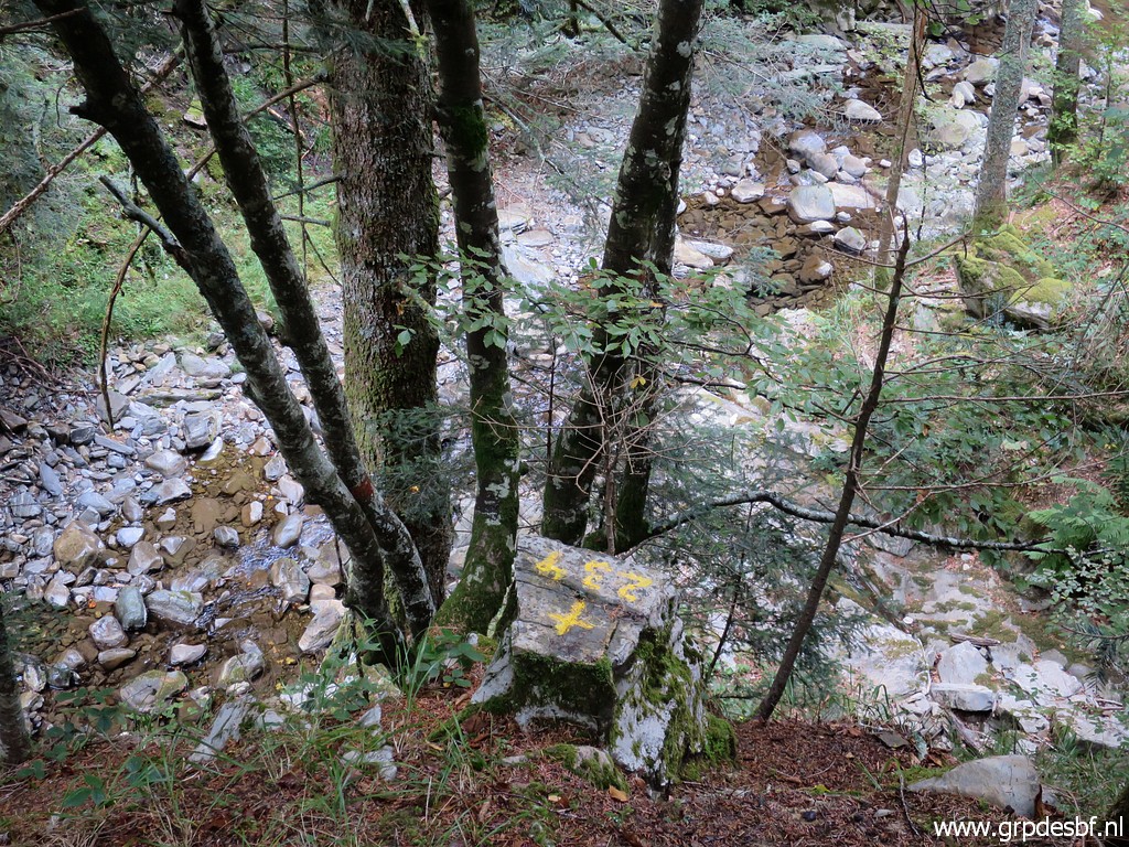
Bm234 Photographed on 20090531 (more pictures on that page) |
 | Bm234 Photographed on 20110817 (more pictures on that page) |
 |
Bm234 Photographed on 20170730 (more pictures on that page) |
 |
Bm234 Photographed on 20190724 (more pictures on that page) (click photo to enlarge) |
 |
Bm234 Photographed on 20200906 (more pictures on that page) (click photo to enlarge) |
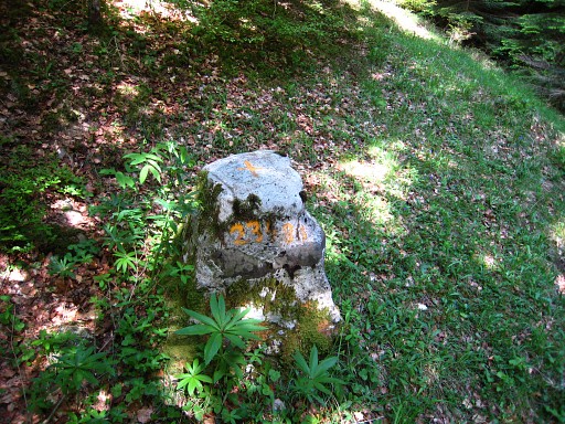 |
Bm234bis Photographed on 20090531 (more pictures on that page) |
 | Bm234bis Photographed on 20110817 (more pictures on that page) |
 |
Bm234bis Photographed on 20170730 (more pictures on that page) |
 |
Bm234bis Photographed on 20190724 (more pictures on that page) (click photo to enlarge) |
 |
Bm234bis Photographed on 20200906 (more pictures on that page) (click photo to enlarge) |
 |
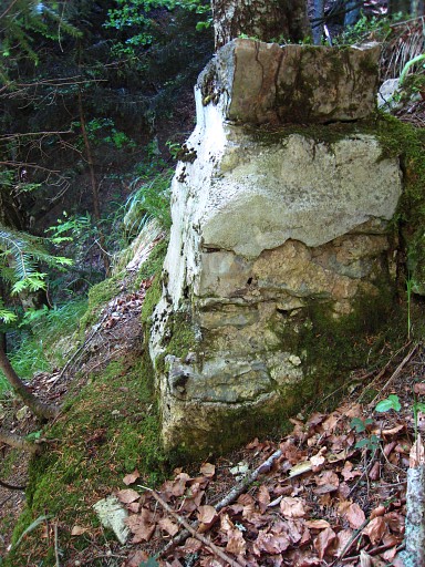
Bm235 Searched in vain on 20090601 but found on 20110817 (more pictures on that page) But there's something strange. Bm235 is ± 150m off the the borderline. |
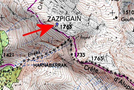 | On this IGN-map the real location of bm235 (red arrow). The borderline is drawn according to the Procès-Verbal but the "Cr. front" (bordercross) is at a different spot: ± 150m to the NW Charles Darrieu sent me a citation of Jean Sermet from his "La frontière des Pyrénées" which confuses me. Sermet seems to state the reverse: the actual cross is on the borderline but wrongly indicated at the map, close to the Zazpigain-summit. Check the text for yourself. |
 |
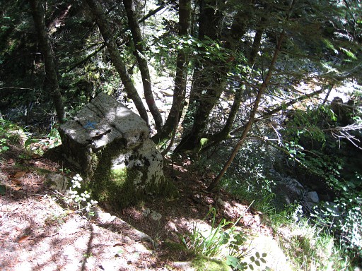
Bm235 Photographed on 20170730 (more pictures on that page) |
 |
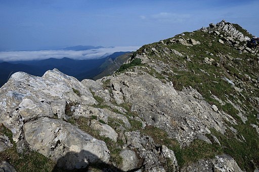
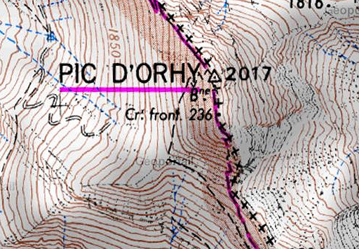
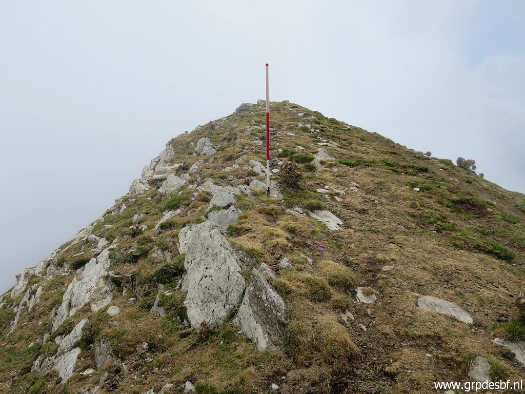
Bm236, not found at the summit of Pic d'Orhy. Searched on 20090601 and 20110817 and 20170730 and 20220825 |
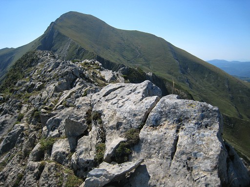
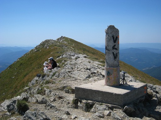 | That summit is in fact a more or less horizontal ridge of approximately 150 meters. On the ridge there are three summits. This is the northern one with a geodetic pillar. The middle and southern summit are well visible. Photographed on 20110817 (more pictures on that page) |
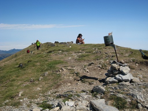 |
At the southern summit, there's this metal pole ("piquet"). Photographed on 20110817 (more pictures on that page) According to my gps, this is the highest summit of the three. That's in accordance with the altitudes on this Sitna-map: 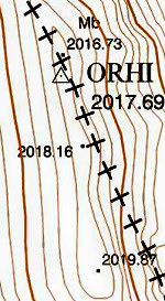 |
 | And
then this IGN-map showing where bm236 was located in the
past, assuming that IGN was right. And that location is (as a gps-waypoint) between the middle and southern summit. |
|
Information of Charles & Josette Darrieu: bordercross 235 was in 1974 supposed to be hidden by the multitude of
stones/rocks at the ridge. In may 1998 it was unfindable. A small
borderstone like the geodetic ones, was suggested as a replacement by Jean Sermet. But apparently not
(yet) placed. Or: the present geodetic marker IS that replacement. Their source: the proceedings of the "Commission Internationale des Pyrénées – mai 1998". |
|
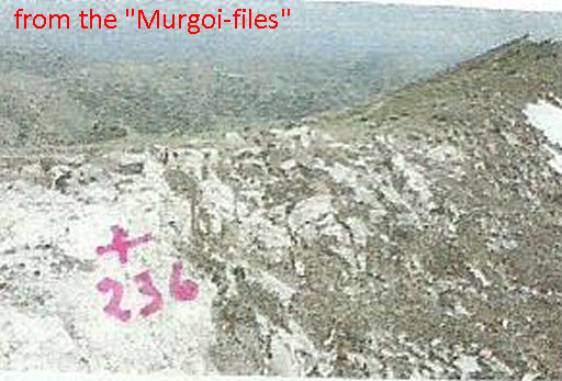 |
But not yet all is being said about bm236. I was very surprised by this picture from "The Murgoi-files" of Jesús Murueta Goikoetxea But it turned out to be a picture from Robert Darrieumerlou's website on this page. He could't find bm236 either and drew with chalk the cross and number - as is his custom - to show that it must have been somewhere around here. |
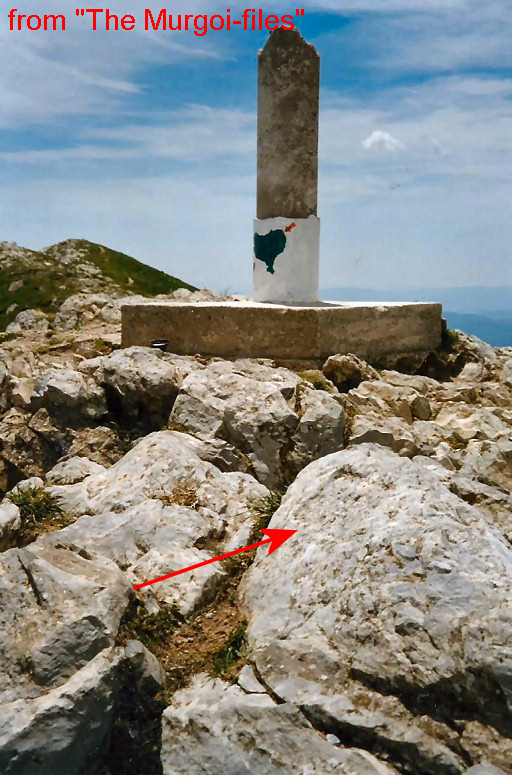 |
But Jesús Murueta Goikoetxea shows a very interesting detail on a picture of his own. We see a rectangular engraving in a rock besides the geodetic pillar. That requires a closer look on a next visit to Pic d'Orhy. |
 |
In 2017 I did a check by myself but it is too small to be of any meaning related to bordermarkers. Photographed on 20170730 (more pictures on that page) |
|
Bm236 - approximate place of, according to the French topographical map. Photographed on 20220825 (more pictures on that page) (click photo to enlarge) |