The bordermarkers of the Pyrenees : all my trips | |
| -
11 july
2005 - |
 |
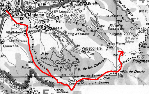 |
Trip-summary Part of a 6-days solo-hike from Puigcerda to Prats-de-Mollo along the borderline. A long trip: from 09am (Puigcerda) to 19.30pm (camping-spot) without a break. Weather: beautiful sunny weather, later chilly on the mountain ridge Walking: 9½ hours. Ascending: ± 1500 meters. |
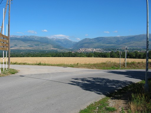 |
I'm on my way, looking back at Puigcerda. |
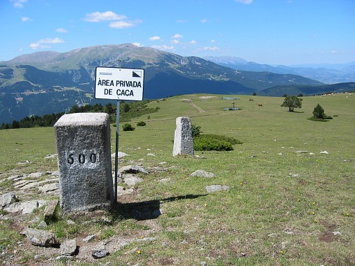 |
I follow the GR11-trail untill Bm500 on Col Marcer. From here I walk back to find bm499 to 496. Luckily there's a fence on the border. It would have been difficult to find them with only my compass. |
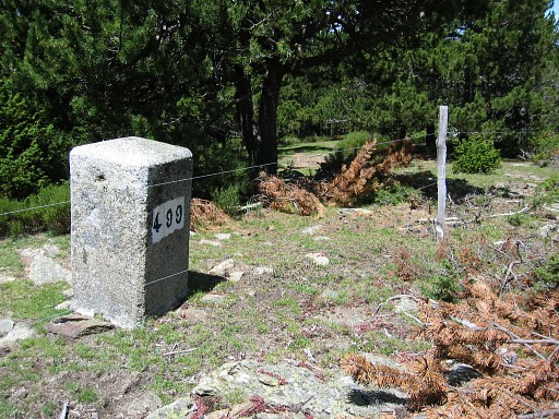 |
Bm499 |
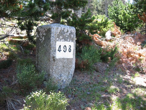 |
Bm498 |
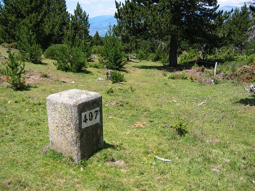 |
Bm497 |
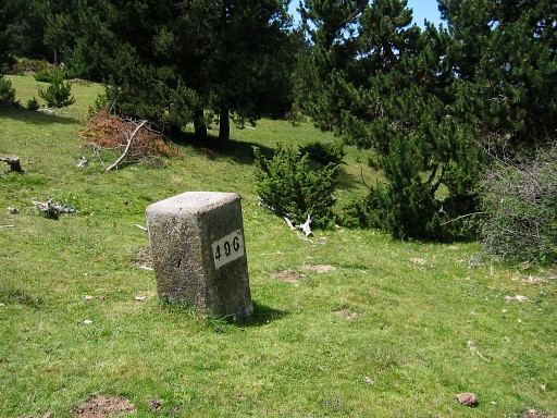 |
Bm496 Back to bm500 to continue on the GR11. |
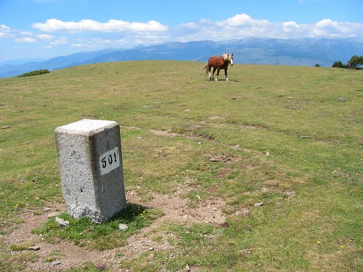 |
Bm501, then - along a winding path - 6 submarkers. |
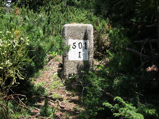 |
Bm501-I |
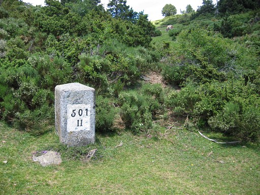 |
Bm501-II |
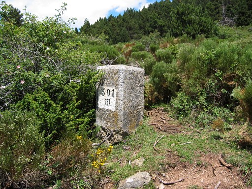 |
Bm501-III |
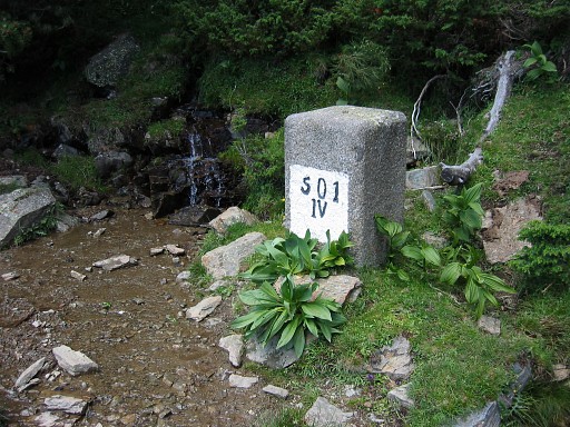 |
Bm501-IV |
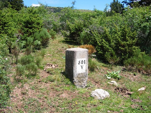 |
Bm501-V |
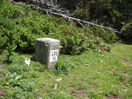 |
Bm501-VI |
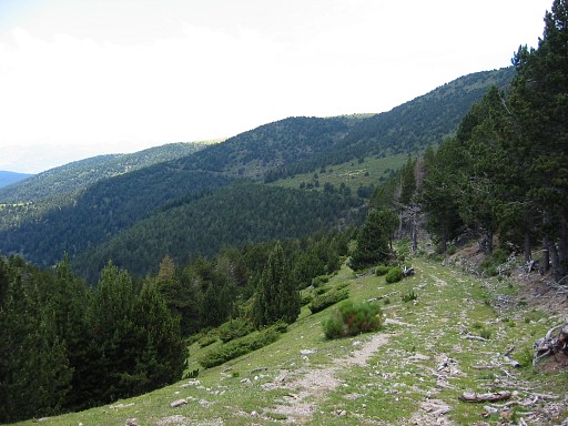 | I'm not sure but as far as I remember, this is a view back on the winding trail with the submarkers. |
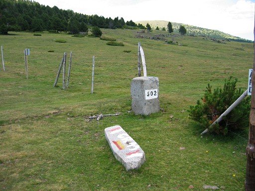 |
Bm502 on Coll de Maians. Then climbing to bm503, a border-fence helps again to navigate. |
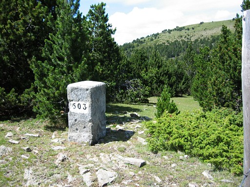 |
Bm503 |
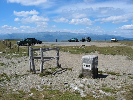 |
Bm504 I'm in doubt, to continue or not, it's already 4pm. But I go on and the last 3½ hours are pretty tough. From here, it's a bare and broad mountain ridge, |
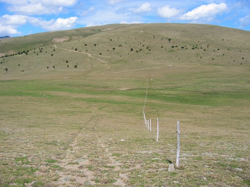 |
as this picture shows, with bm505 in the distance (the white speck). Just follow the fence. |
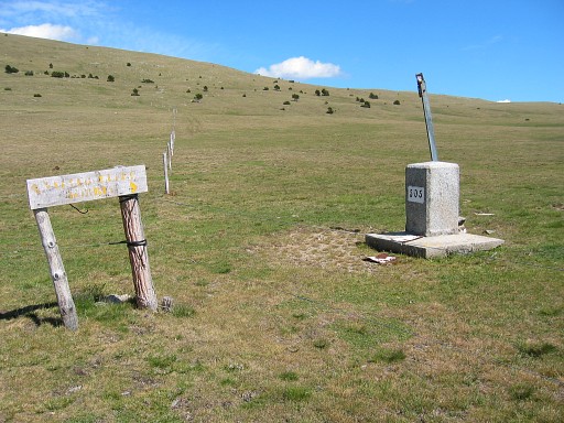 |
Bm505 |
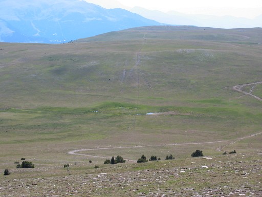 |
And now looking back on this plain of Pla de les Salines. Leaving the fence and continuing on the country road to. |
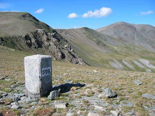 |
Bm506 Enough for today, I descend to the valley |
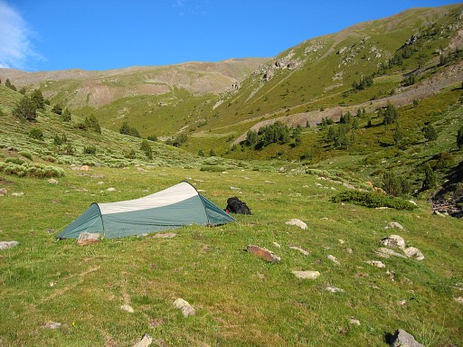 |
and pitch my tent at the foot of the Puigmal, close to a ski station. |
 previous
trip next
trip previous
trip next
trip  | |
