The bordermarkers of the Pyrenees : all my trips  | |
| - 10 april
2008 - Along precipices |
 |
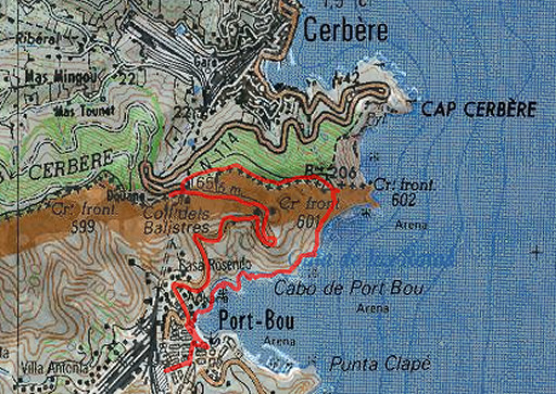 |
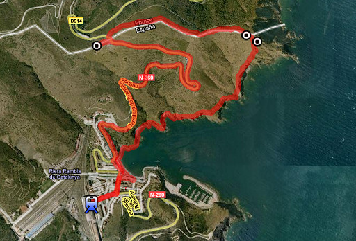
esfr-trip-track-20080410.kml (click to open in Google Earth or copy link to Google Maps) Part of a 8-days backpacking-trip in the eastern Pyrenees with Jan-Willem, roughly covering the area bm528 - bm575 and bm600 - 601bis. Day 8: a roundtrip from Port-Bou doing bm600 - bm601bis, the last one being the target of the day. |
 |
For explanation of the gps-coordinates and other cartographic backgrounds: see my cartography page |
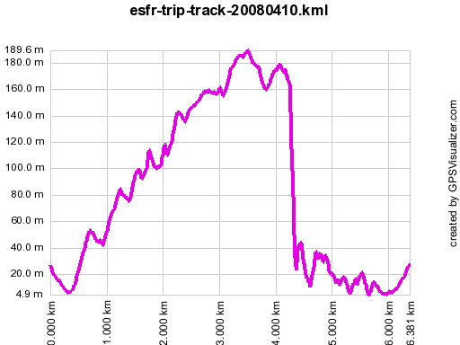 |
According to gpx-view Distance : 6.363 km Altitudes : Maxi 190 m Mini 5 m Dénivelées : +235 m -175 m |
 |
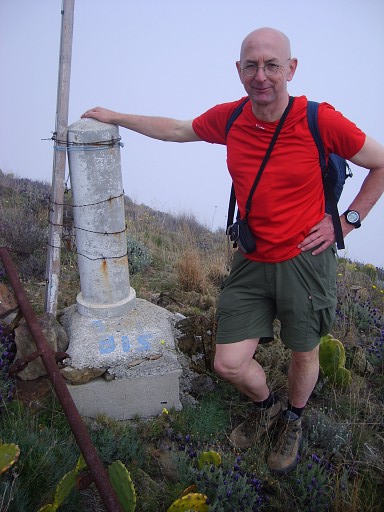
With the train from Figueres to Port Bou. From Port Bou, we climb on the road to the bordercrossing and 'do' nearby: bm600 |
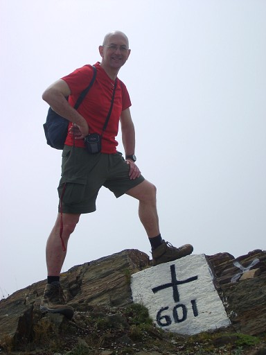
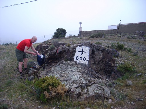 | Bm600 with me |
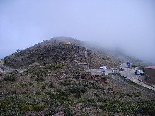 | From approximately bm600, looking to the borderpass. |
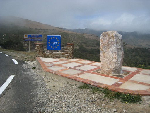 |
A monument on the Spanish refugees after the Spanish civil war. The information panel on it has been removed. |
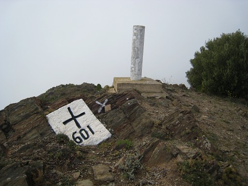 |
Along the borderridge to bm601 |
 | Bm601 with me |
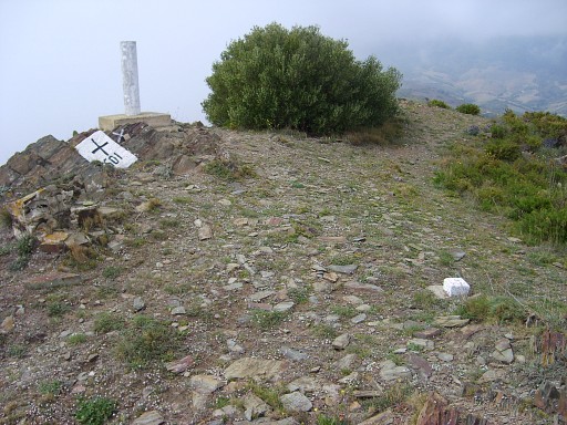 | Bm601, note the little stone marker in the foreground, |
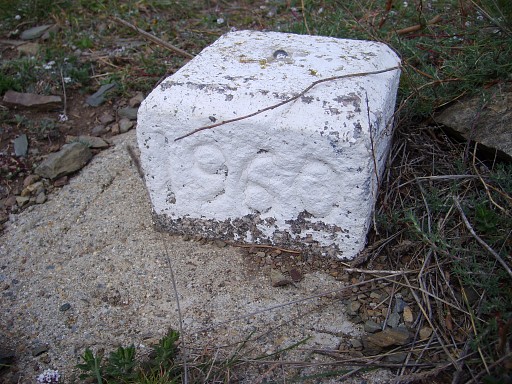 | Now in close-up. Indicating what? |
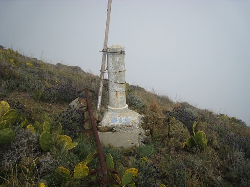 |
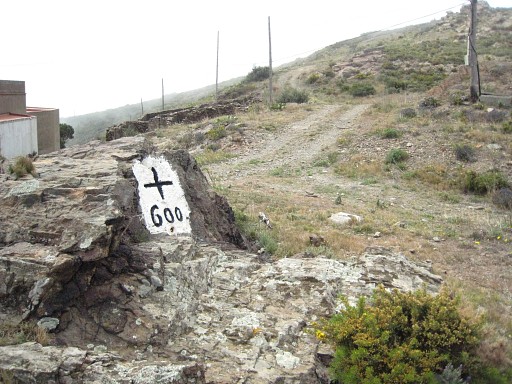
Then a short descent to bm601bis, the number is painted and doesn't look very official. |
 |
Bm601bis with me |
 |
We follow a yellow waymarked path from bm601 towards Port Bou. |
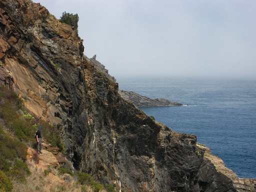 |
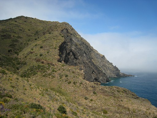
It's steep and rocky, sometimes along precipices. This picture: Jan-Willem enjoying the views. |
 |
And a bit further, this view. |
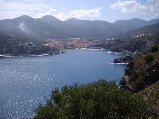 |
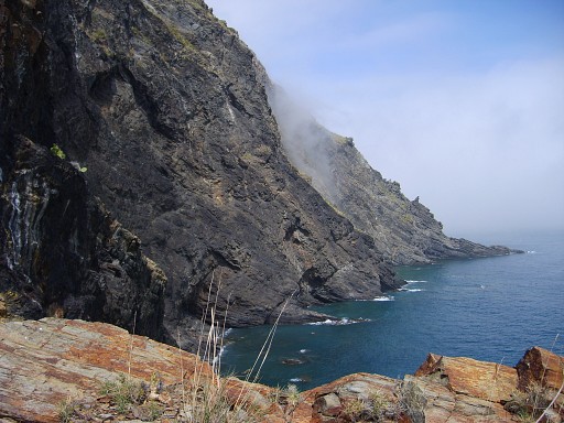
More at sealevel, there are stairs and beaches. Parts of the trail have washed away, making it sometimes dangerous. This picture: looking forward to Port Bou. |
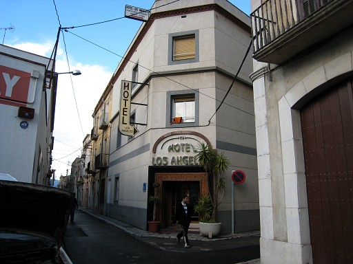 |
Back to Figueres, to our hotel. |
|
| |