|
The
bordermarkers of the Pyrenees : all my trips
 |
|
| - 8 may
2009 - Through the mist |
 |
 |
esfr-trip-track-20090508.kml (click to open in Google Earth or copy link to Google Maps; click right on this link to download gpx-version) It's a foggy day, making orientation difficult. The fog amplifies the silence and solitude. |
 |
For explanation of
the gps-coordinates and other cartographic backgrounds: see my cartography page En route: 7.45-18.15, lunch 45' Elevation according to my watch: up 1435m Down 1308m, in total 2743 m Heighest point 1039m, lowest 623m |
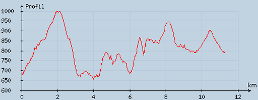 |
According
to visugpx - distance : 11.6 km - cum. elevation gain : 1004 m - cum. elevation loss : 874 m - total elevation: 1878 m - altitude maxi : 998 m - altitude mini : 655 m - altitude average : 805 m |
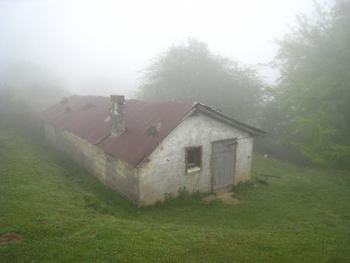 |
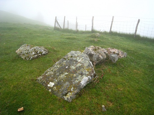
An early start. Following the path uphill until a plateau with this barn. |
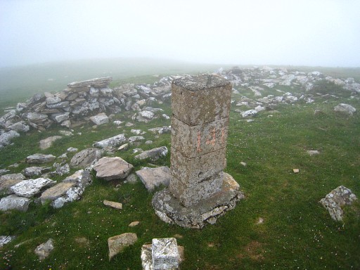 |
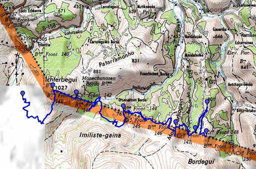
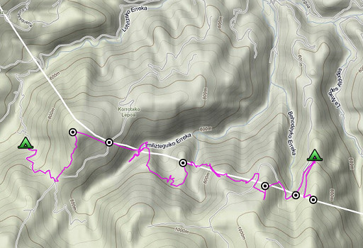
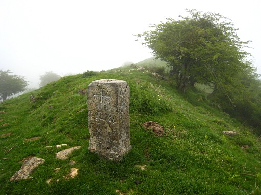
From that plateau on compass-reading uphill in the direction of bm141. What seems at first the summit is not the summit, you have to climb on to the real summit with bm141. |
 |
Then descending on compass-reading to the road. At the road a little searching: the bm is at the western roadside. Bm142 |
 |
Bm142 The border-crossing is clear: the French tarmac stops there and there's a bordere-fence going ophill. |
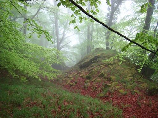 |
Then a steep descent into the forest, using my compass, the final - wet - part to the stream being slippery. |
 |
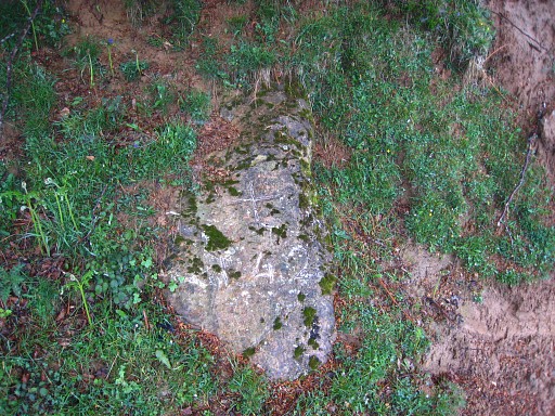
Crossing the stream is not easy. I
search long for bm143, going hence and forth along the streaam. The gps
tells me where the border is more or less and I can identify a
forest-trail descending to the E-bank to the approximate border by
comparing it with the map. But I can't find bm143. Perhaps it's hidden under the fallen trees or it has flooded away. |
 |
I give up and climb
uphill - slippery - and get too much at the Spanish side, get
desoriented and arrive outside the forest near to two shepherd's cabins. Miracously, I spot during a brief brightening-up a marker on a ridge far away. Via a dirtroad behind the cabin at the right, I reach the ridge and further on I find bm144. I take a lunch-break, sitting against the bm. |
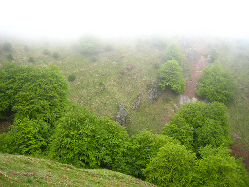 |
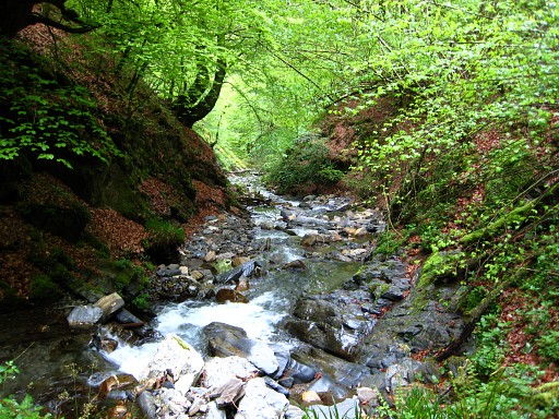
Then a very steep descent to and climb from a stream. This picture: looking down into that steep valley. |
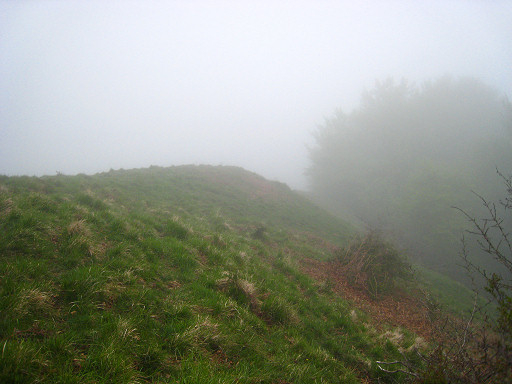 |
But
I can't find bm145. It's difficult to orientate in the mist but in the
end I think I have found the "l'arête inclinée" from the Procès-Verbal.
But I'm not sure and still: no bm145. I have to return here. |
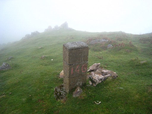 |
I continue to the tarmac road, climb a bit on the road until the approximate borderline, then climb the hillridge and find bm146. |
 |
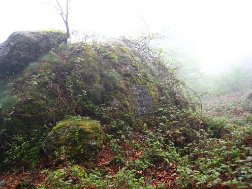
Then
descending to the tarmac road on the other side of the ridge, following
it in its bend on Spanish territory. There I spot a large boulder above
the road at my right hand. I climb to it and on its backside I find bm147. |
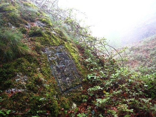
 |
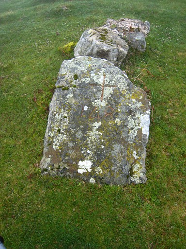
Bm147 |
 |
The boulder with bm147, seen from the road. |
 |
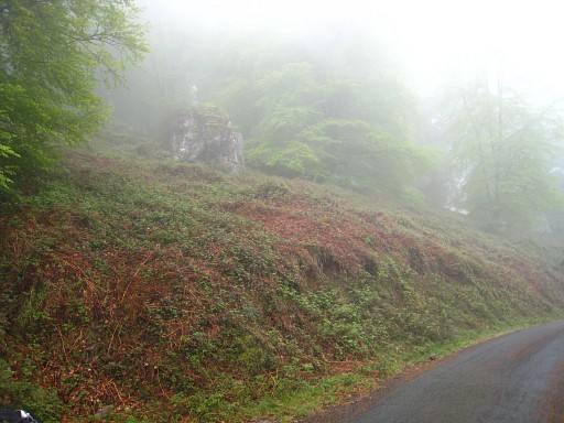
I keep following the road, take a
branch to the right which turns into a dirtroad on the borderline and -
after two bends - arrives at a cabin. Just before the cabin, east of
the dirtroad, I find bm148. |
 |
Bm148 Despite not finding bm143 and 145, I'm content with the 'harvest' of today. But my progress is too slow and I have to proceed in the direction of St-Jean-Pied-de-Port tomorrow. |
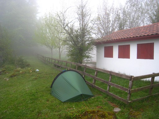 |
I return on the road and find this camping-spot. A watertap at the house makes things easier. Coordinates: N43 02 35.9 W1 24 03.0 H 792m. |