|
The
bordermarkers of the Pyrenees : all my trips
 |
|
| -
10 september
2009 - Exploring a shortcut to bm313 |
 |
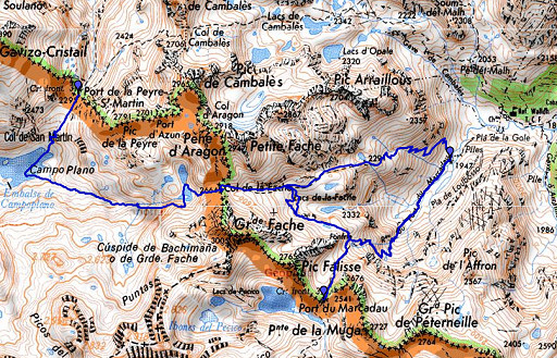 |
esfr-trip-track-20090910.kml (click to open in Google Earth or copy link to Google Maps; click right on this link to download gpx-version) Part of a 5-days trip from Col de Somport to Cauterets, exploring bm305 to bm314. Day 4: from Port de la Peyre St. Martin to near Refuge Wallon, exploring in between a short-cut to Port de Marcadau with bm313. |
 |
For explanation of
the gps-coordinates and other cartographic backgrounds: see my cartography page According to my watch: Duration: 8.30-18.45, in total 10.15 hours, break 1.15 hours According to my gps: - walking: 6.43 - standing stil: 3.34 - in total: 10.17 - distance: 20.4 km - average speed while walking: 3,0 km/h |
 |
According
to visugpx - distance : 17.85 km - cum. elevation gain : 1295 m - cum. elevation loss : 1661 m - total elevation: 2956 - altitude maxi : 2665 m - altitude mini : 1937 m - altitude average : 2296 m |
 |
It's been a cold night, ice on the tent. Bright stars, a clear half-moon. Bm312 |
 |
Descending back to the grass near the lake and walking to that distinct rounded hill. Near the hill, there are signs pointing to Col de la Fache. |
 |
And that's a long and nice climb. |
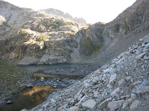 |
Finally, I arrive at this lake, just underneath the Col de la Fache. From bm312 to this Col takes about 2¼ hours. |
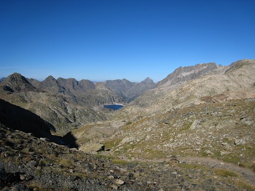 |
From the Col looking back, in the distance the reservoir of Embalso de Respumoso. |
|
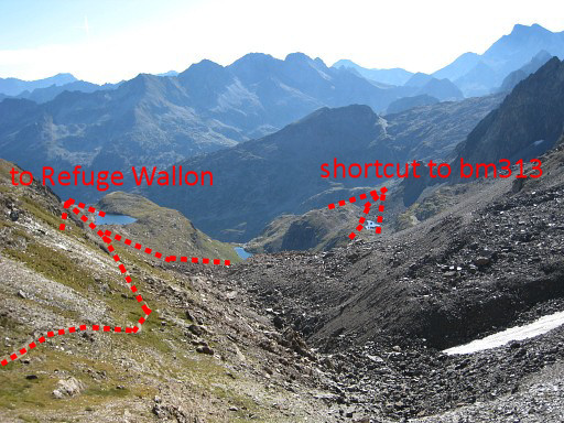
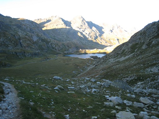
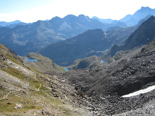
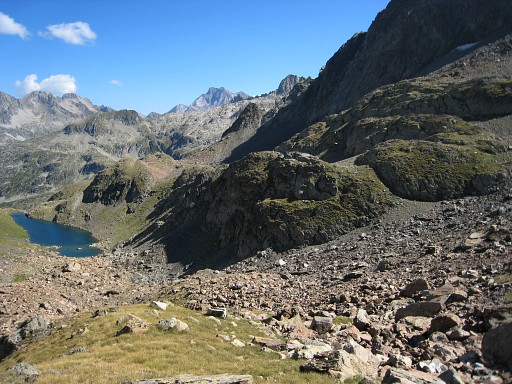
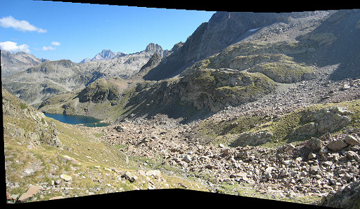
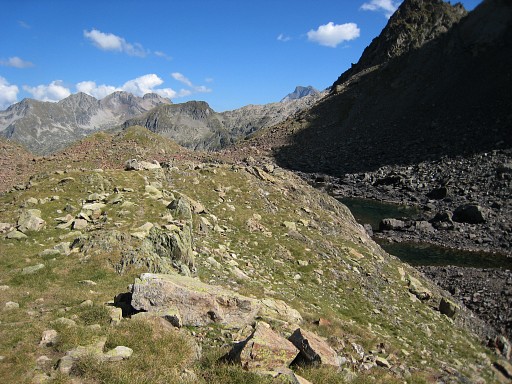
While descending, I look carefully if there's a shortcut possible along the two tiny lakes at the right to Port de Marcadau. It seems not and I descend further along the trail to Refuge de Wallon. Later that day, I will discover that shortcut. Move the cursor over the picture to see trails etc. |
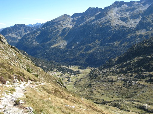 |
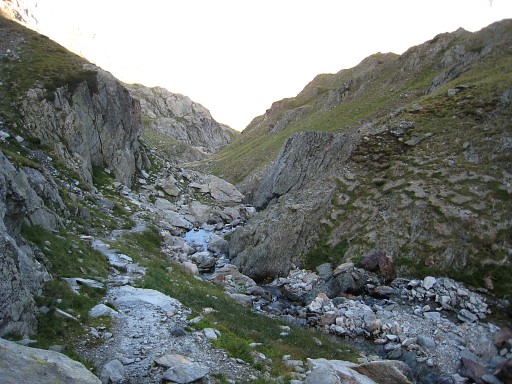
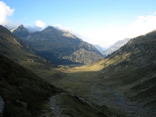
Descending untill a little bridge, 15 minutes left from the Refuge. Descending is not my cup of tea: from Col to Refuge takes 1½ hours according to a sign. It took me to that bridge ± 2 hours. Time for a break. On this picture: while descending the Refuge Wallon visible in the valley. |
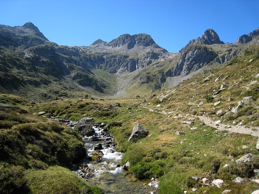 |
After the break I climb to Port du Marcadau on a well waymarked and fine trail. |
 |
When approaching the Port
and curving into the last 'cirque' to the pass (which is not
the final pass but a lower one before, as I will discover later), I
spot to the right a trail branching off the main trail. A
shortcut to Col de la Fache, I presume. At first the trail climbs and then continues on a sort of hillridge parallel to the mountain-ridge in NW-direction, sufficiently waymarked by cairns. Then the trail descends along a rock-face and I loose the cairns in a large rock-slide. This picture: apparently the spot where the shortcut starts but I'm not sure. |
 |
But I see to the right down below a lake I've seen before when I descended from Col de la Fache. That means I'm right. I find my way (without a trail or cairns) to the path coming from Col de la Fache. From there I have an overview how this short-cut can be. Hereunder: my description of the shortcut. |
|
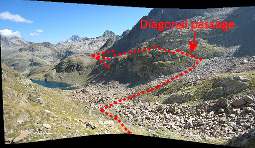
- coming from Col de la Fache you'll
reach a grassy part after the rocky descent. To the right you'll
see a lake below. A bit further, the trail passes left along a hillock - now leave the trail to the right, going right along that hill and descend along a little stream (streaming to the lake) untill about halfway that stream. -then you are more or less at the same level as the diagonal passage along that rockface. Now head to that passage, passing some rock-slides and climb that passage Move the cursor over the picture to see trails etc. |
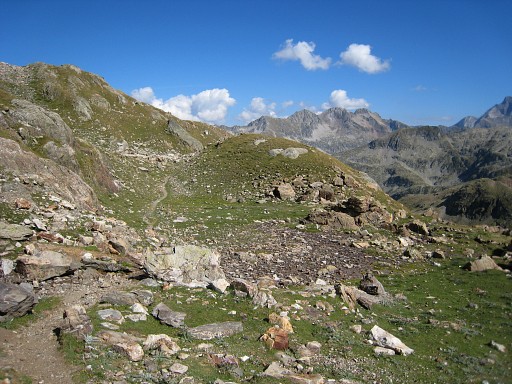 |
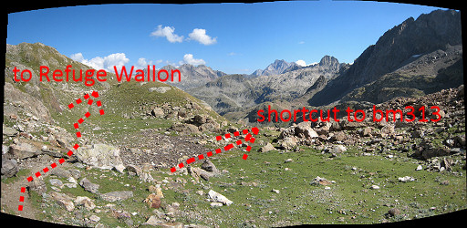
This is that hillock, mentioned above. The main trail - to Refuge Wallon - goes left along this hillock. |
|
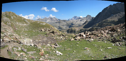
So: at this point you should leave the path to the right. Move the cursor over the picture to see trails etc. |
 |
Back to the description: - after that diagonal passage, pick up the cairns-trail which will lead you to the trail to Port de Marcadau - this shortcut between the two trails takes approximately ½ hour -start and end of this shortcut are on the IGN-25k maps. |
 |
I return to the trail to Port de Marcadau - content with finding this shortcut - and climb to the Port. From Col de la Fache to Port de Marcadau is ± 1¼ hour. Bm313 |
 |
Bm313, looking into Spain |
 |
Bm313, looking into France |
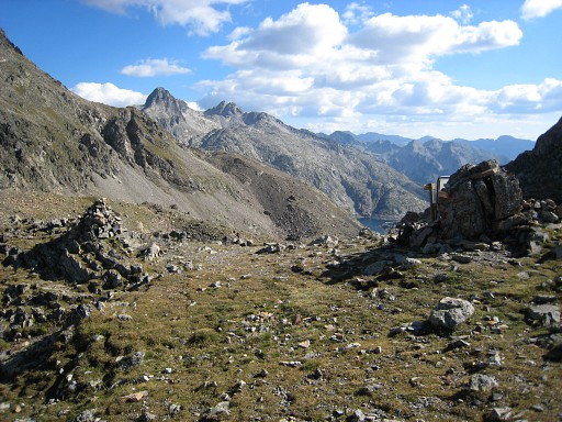 |
Bm313 from some distance (the rockpile at the left) |
 |
Meanwhile, it's 5.15pm and in 1½ hour I descend to |
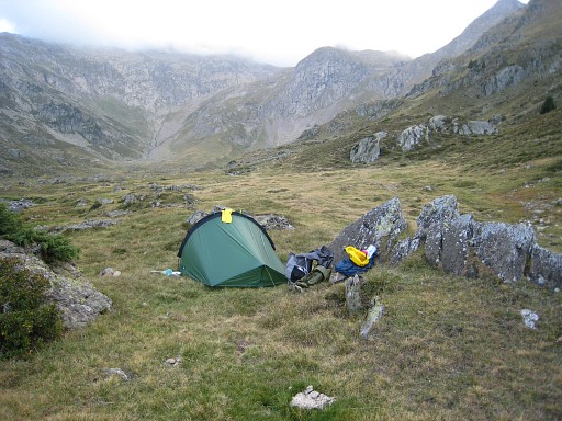 |
this camping-spot, about 15 minutes from Refuge Wallon. Camp: N42 48 56.8 W0 12 16.0 H1932m |