|
The
bordermarkers of the Pyrenees : all my trips
 |
|
| -
21 march
2011 - Les Albères revisited |
 |
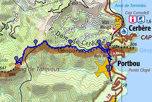 |
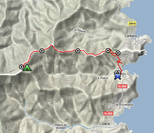
esfr-trip-track-20110321.kml (click to open in Google Earth or copy link to Google Maps; click right on this link to download gpx-version) Summary: part of a 5-days trip from Portbou to a bit beyond Le Perthus (bm600-bm560). A remake of a trip in april 2006, now with a gps. Day 1: from Portbou to bm596. Weather: sunny and cloudy, chilly at the end |
 |
For explanation of
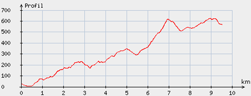
the gps-coordinates and other cartographic backgrounds: see my cartography page Start: 14-, finish: 18-, net walking time: 4h According to the gp-tripteller: Distance: 10,2km Time en route: 3.57h Total ascent: 887m Final height: 559m |
 |
According
to visugpx - distance : 9.68 km - cum. elevation gain : 807 m - cum. elevation loss : 265 m - total elevation: 1072 m - altitude maxi : 626 m - altitude mini : 5 m - altitude average : 352 m |
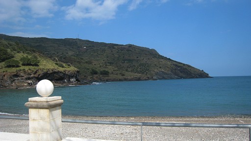 |
Having arrived by plane in Girona and travelled by train to Portbou, I start my trip with a view on the Méditerranée. |
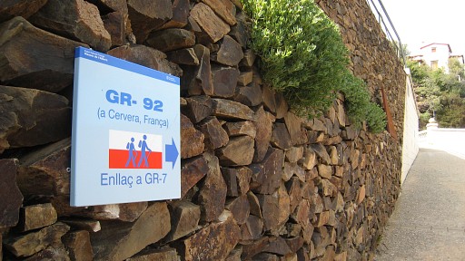 |
I clim to the borderridge along that waymarked trail directly to bm600. |
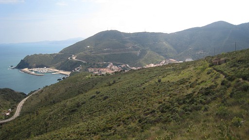 |
Looking back at Portbou. |
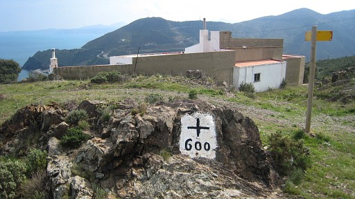 |
Bm600 |
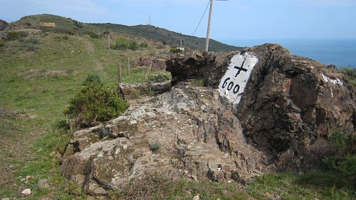 |
Bm600 |
 |
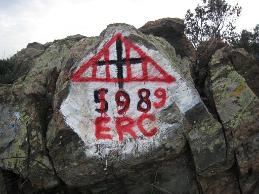
To bm599 I tried two trails, finding the one at the French side better and nicer. Bm599 is vandalized, the rock seems quite brittle. |
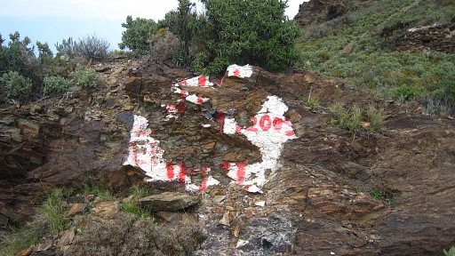 |
Bm599, not recognizable in this damaged status but I have pictures of my 2006-trip. The vertical red stripes are meant to represent the Catalan Coat of Arms. I will see this kind of vandalizing a lot on this 5-days trip. For the offenders apparently a way of boosting Catalan patriotic feelings. For me it's just vandalizing cultural-historical monuments. |
 |
Bm599 |
 |
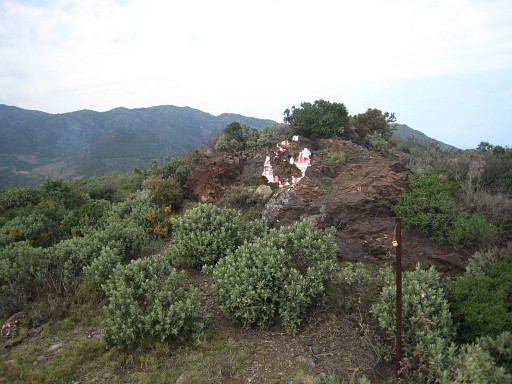
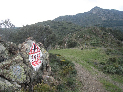
Further on, looking back at the pass with bm599. There's also a large container standing at the pass. |
 |
Bm598, reached by just following the trail (on the French side, white/yellow waymarked). It's on the rock left to the road, just before the grassy pass. |
 |
Bm598 |
 |
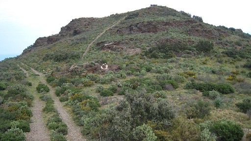
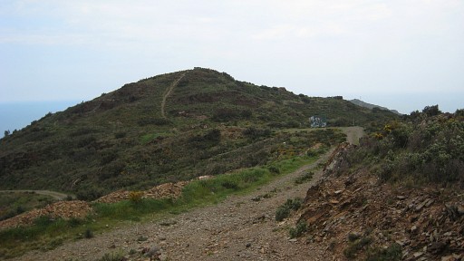
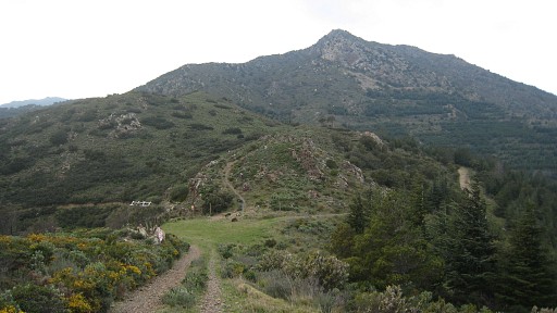
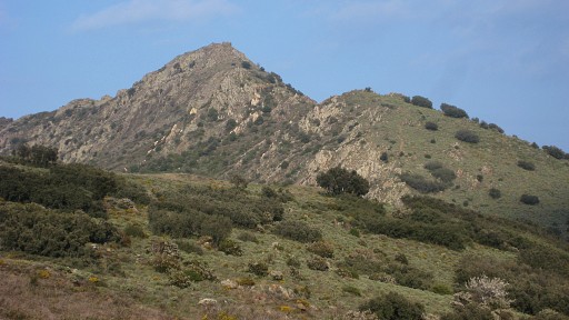
Bm598, looking forward to the hilltop of Torr de Querroig. |
 |
Then a long rocky climb to Torr de Querroig but passing underneath the summit. This picture: looking back at Coll de la Farella where bm598 is. |
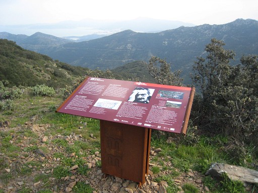 |
I've passed underneath Torr de Querroig and arrived at Col de Rumpissar. This information panel tell's the story of this pass used by refugees from occupied France into Spain in WWII. |
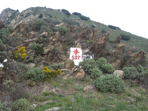 |
I allmost miss bm597 at the eastside of Col de Rumpissar, my gps showing waypoint further on. That's my first experience with wrongly located waypoints, found on Google Earth. |
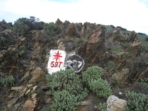 |
Bm597 |
 |
Bm597 |
 |
Bm597 |
 |
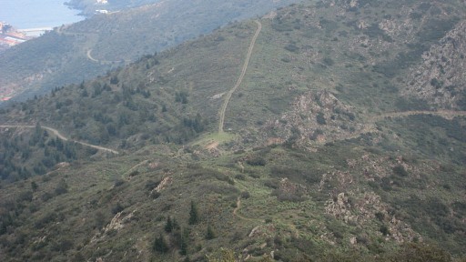
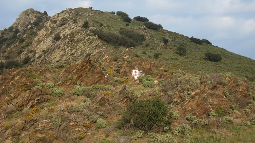
A bit further on, this view back on the Torr de Querroig. |
 |
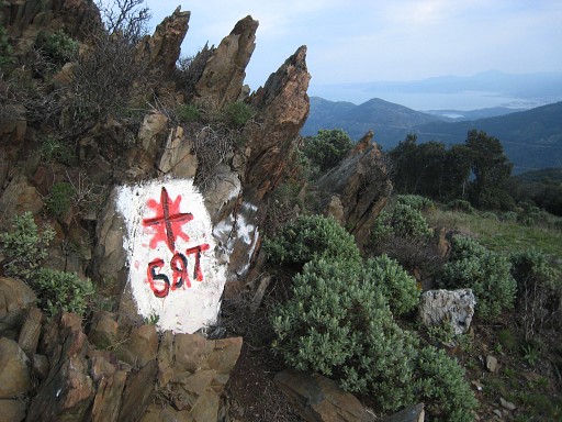
Bm596 is somewhat hidden at the westside of a pass above the fountain of Font de Taraveus. |
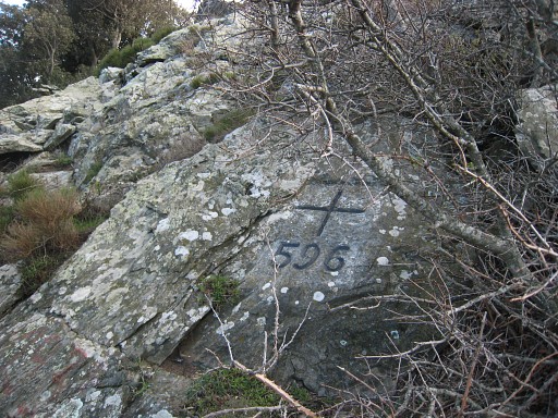 |
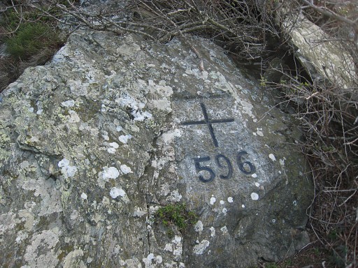
Bm596 |
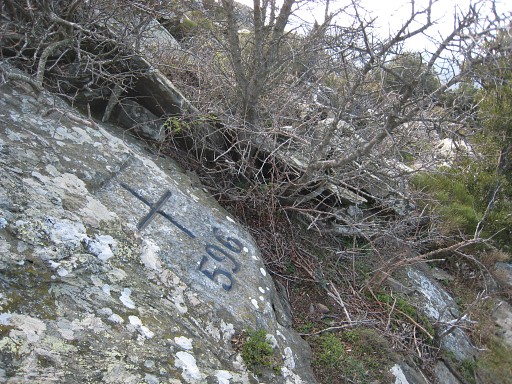 |
Bm596 |
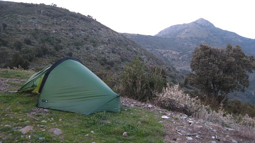 |
I descend through the bush to that fountain and camp besides it along the dirt road. I'm tired. It's windy and getting cold. |