|
The
bordermarkers of the Pyrenees : all my trips
 |
|
| -
15 may
2012 - The most dangerous snake of France |
 |
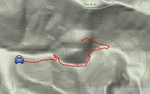 |
esfr-trip-track-20120515.kml (click to open this trip in Google Earth or copy link to Google Maps; click right on this link to download gpx-version) Summary: part of a 6-days trip - accompanied by Jan-Willem Doomen- with daytrip-targets in the Basque country, near Fos and around Puigcerda. Day 4: exploring a trail on the bm417-418-traject Weather: beautiful with clear skies and fresh air |
 |
For
explanation of
the gps-coordinates and other cartographic backgrounds: see my cartography page En route: 10.15 - 14.15 (4h) According to the gps-tripteller: Distance: 8,8 km Cum. elevation gain: 561m Total elevation: 1122m Maximum height: 1680m Time: 4.06h |
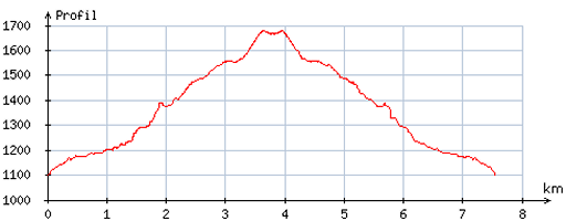 |
According
to visugpx - distance: 7,7 km - cum. elevation gain: 559m - cum. elevation loss: 597m - total elevation: 1156m - altitude maxi: 1677m - altitude mini: 1099m - altitude average: 1421m |
 |
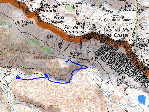
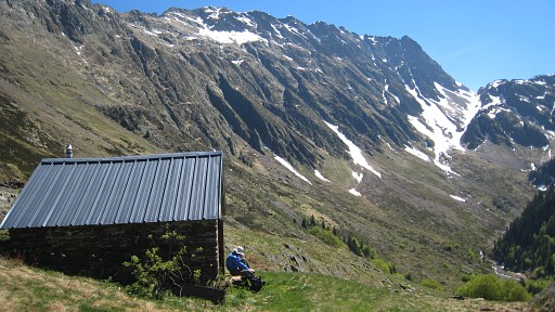
From beyond Refugio dere Honderia, a trip to Cabane le Plan. Our goal: to see if there's a trail from that cabane descending E to the trail which leads from the Refugio to Mines Liat. I couldn't find such a trail on 20110830. On the big map hanging against the Refugio, we see 'our' trail as part of a circular tour. The warden tells us that it is a (sparingly) blue waymarked trail leading to cq coming from a ruined funicular building, visible from below. We drive a bit further and start hiking. It's a lovely morning, the mountain ridges and slopes still covered with snow. |
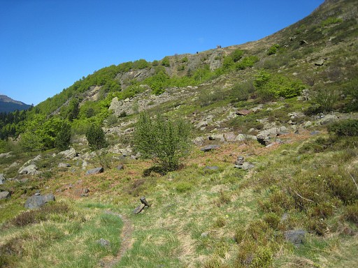 |
As expected, we find the branch of the main trail, leading up to the funicular-building. You can spot that building on the edge of the hill. |
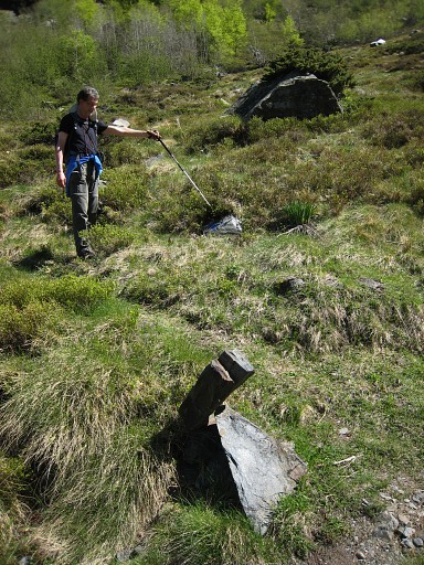 |
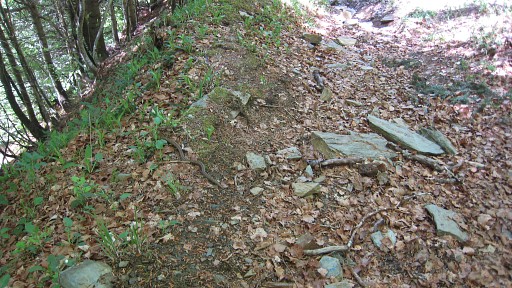
The blue waymarks are too scarse but luckily there are cairns to help us. On our way up and - later - down, we improve the cairns and create a number of new ones. |
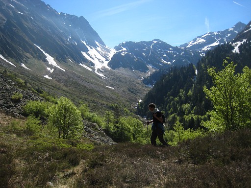 |
Jan-Willem
arriving at the plateau. In the far distance you see that intriguing
ledge that might be a shortcut to bm418 & 419. |
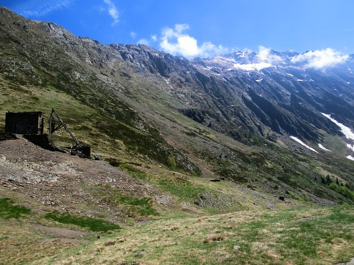 |
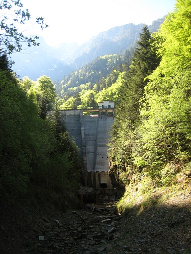
And on this picture the ruined funicular-building, once part of a funicular to the mines of Liat. (photo by Jan-Willem) |
 |
We take a lunch-break at the cabane (150m SW of the
funicular-building). There's a water-bassin near the funicular-building with a waterhose-supply but I doubt if that's still running in the summer. From the cabane we enjoy the tranquillity and splendid views. Then back to our car along the same route. |
 |
We spot a snake on our trail and make
pictures. It glides to the side of the trail and remains there, hissing at us. |
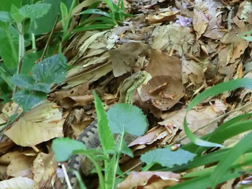 |
A few days later we will learn (from Rob Veen of the
marvellous Nature Education & Awareness Center Tigouleix) that this is an 'aspic viper', the most
venemous snake of France. An untreated bite can be fatal..... (photo by Jan-Willem) |
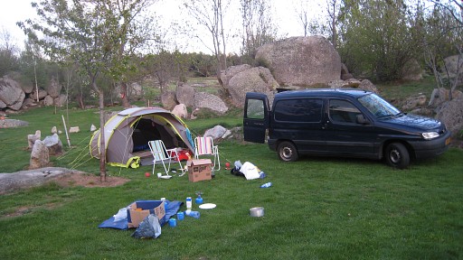 |
Then we drive to the Cerdagne, to a camping near Targasonne along the Llivia-border. |