|
The
bordermarkers of the Pyrenees : all my trips
 |
|
| -
16 may
2012 - Doing remakes |
 |
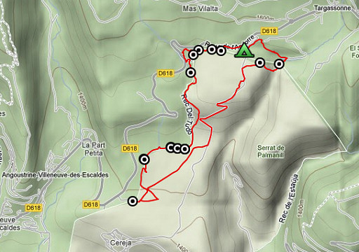 |
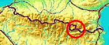
esfr-trip-track-20120516.kml (click to open this trip in Google Earth or copy link to Google Maps; click right on this link to download gpx-version) Summary: part of a 6-days trip - accompanied by Jan-Willem Doomen- with daytrip-targets in the Basque country, near Fos and around Puigcerda. Day 5: revisiting a number of LlIivia-bordermarkers, some of which have been renewed in recent years Weather: nice & sunny |
 |
For
explanation of
the gps-coordinates and other cartographic backgrounds: see my cartography page En route: 13.30 - 18.15 (4.45h) According to the gps-tripteller: Distance: 8,2 km Cum. elevation gain: ±300m Total elevation: ±600m Maximum height: ? Time: 4.52h |
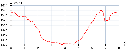 |
According
to visugpx - distance: 7,8 km - cum. elevation gain: 206m - cum. elevation loss: 213m - total elevation: 419m - altitude maxi: 1574m - altitude mini: 1401m - altitude average: 1492m |
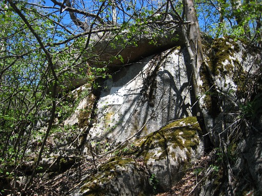 |
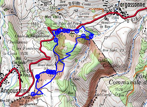
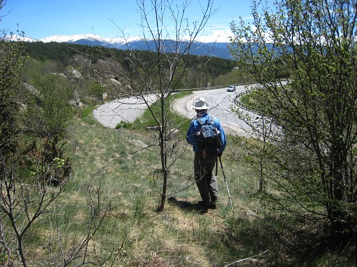
An afternoon trip from our camping 'La Griola' near Targasonne. Main target: the double 31-34 Llivia-markers which in recent years have been replaced by brand new ones. Lying more or less on our route, we revisit LL26. (for a short while along the tarmac road, then into a field, climbing a fence, then to the right and spotting LL26 at your right hand behind the fence). |
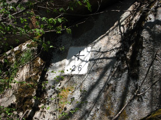 |
LL26 |
 |
LL26 with me, its location becoming clear behind the fence. It's early spring here - few leaves, little undergrowth - and this is a perfect time to search and photograph bordermarkers. (photo by Jan-Willem) We head directly through the fields to |
 |
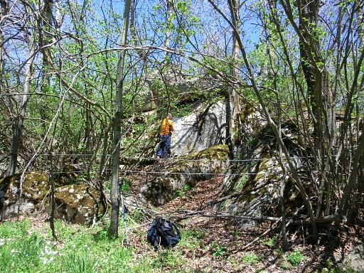
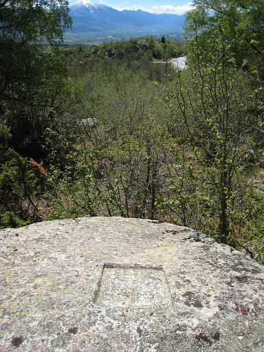
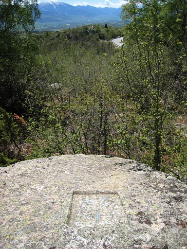
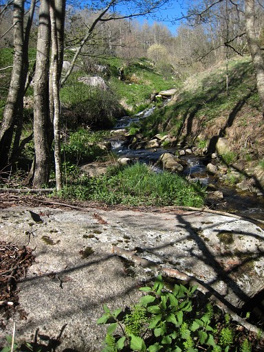
LL
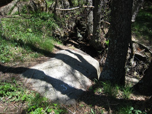
27, the boulder from some distance |
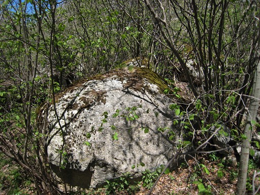 |
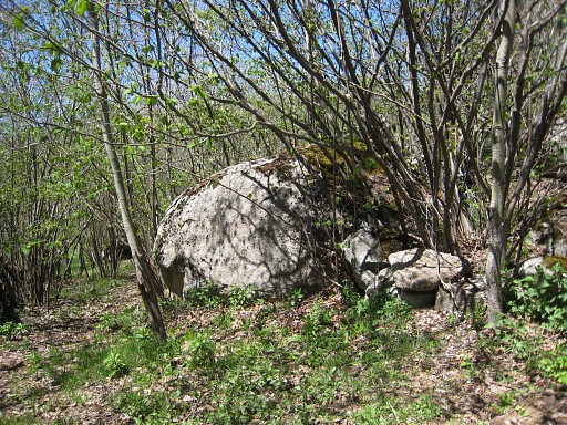
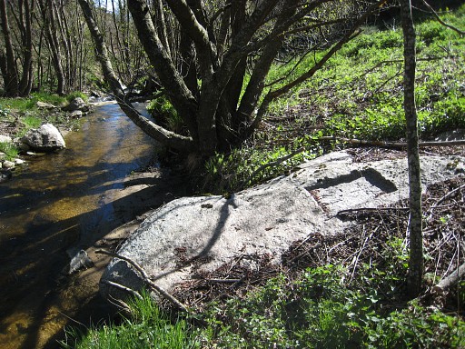
LL27, zooming in |
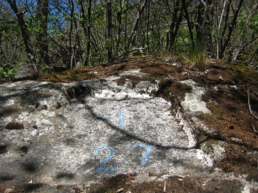
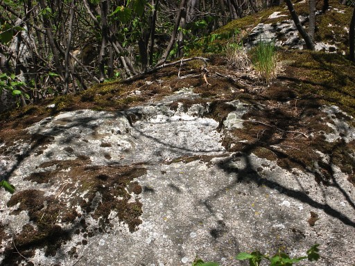 |
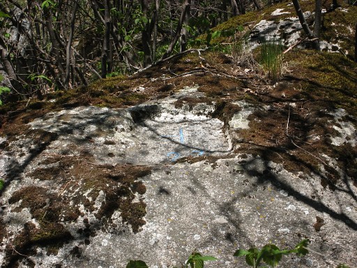
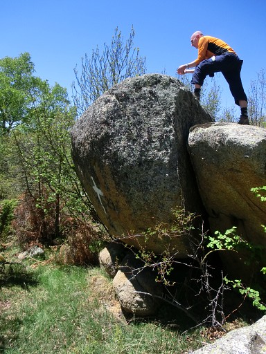
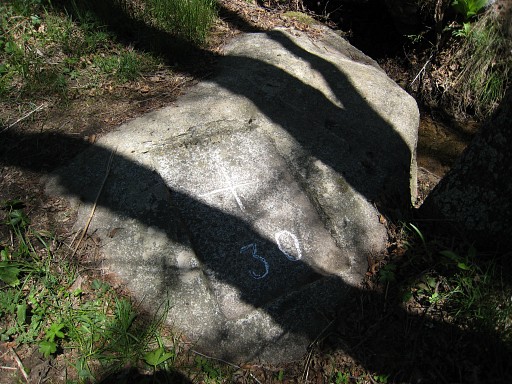
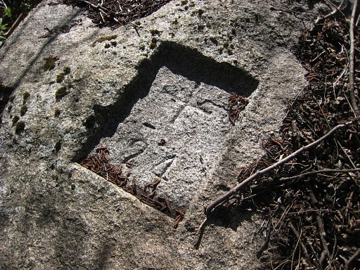
LL27, being carved at the top of this boulder. |
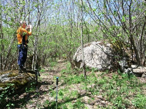 |
That's how I took the last two pictures. (photo by Jan-Willem) |
 |
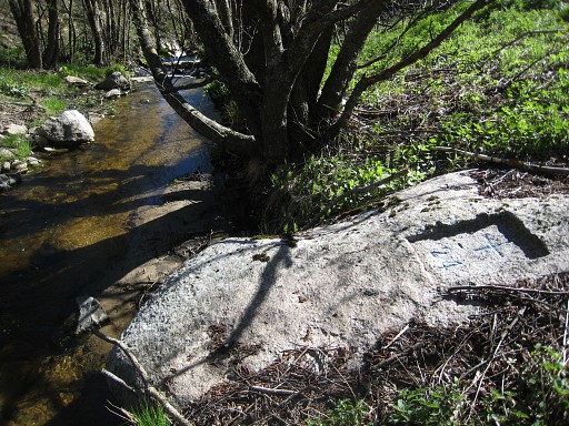
LL27,
I have climbed upon the boulder and applied chalk. |
 |
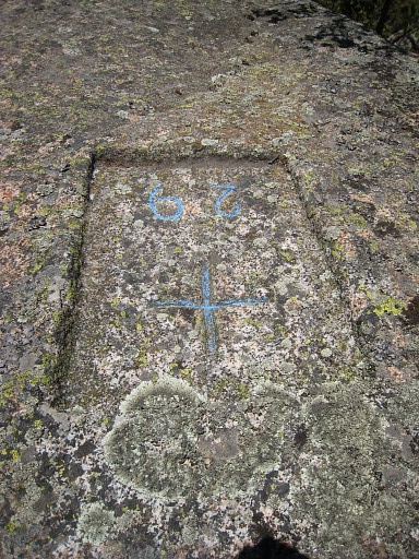
LL27 |
 |
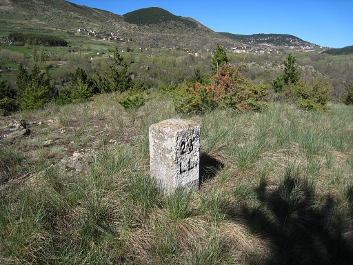
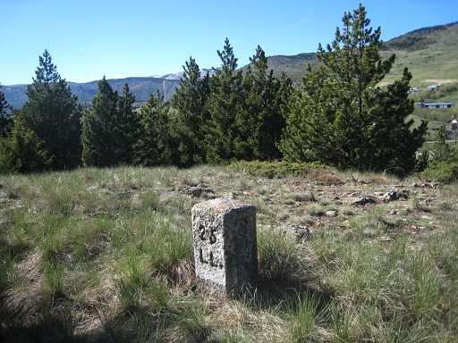
Then to LL28 |
 |
LL28, looking in the direction of LL29 |
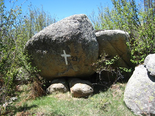 |
Between trees and shrubbery: LL29. |
 |
The actual bordermarker LL29 is on top of this boulder, |
 |
which can be climbed from behind. (photo by Jan-Willem) |
 |
LL29 |
 |
LL29 |
 |
On our way to LL30, using a shortcut to avoid the tarmac-road lacet. |
 |
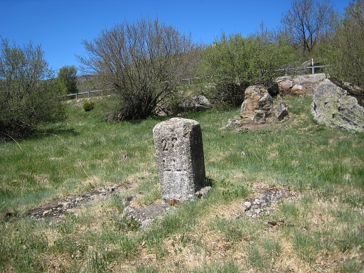
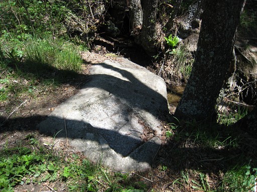
LL30 was a difficult find on 20050928 |
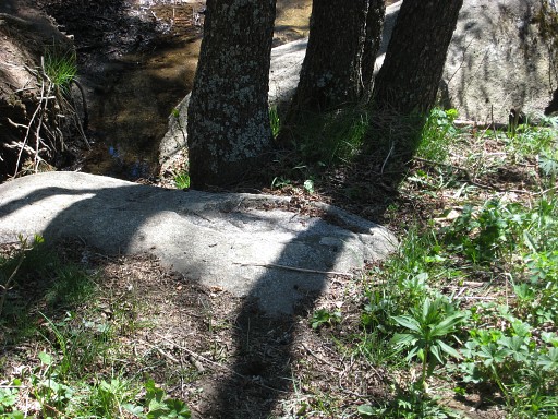 |
but now - with my gps and memory - an easy find. |
 |
LL30
|
 |
LL30 |
 |
LL30 |
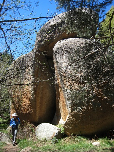 |
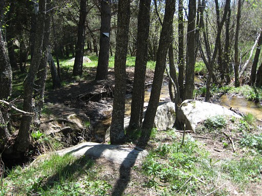
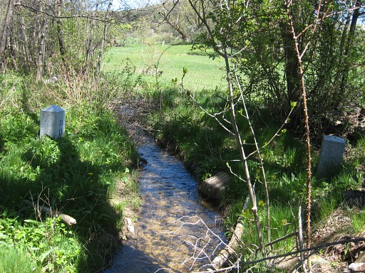
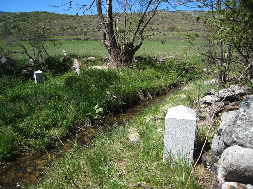
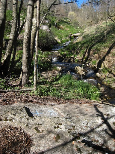
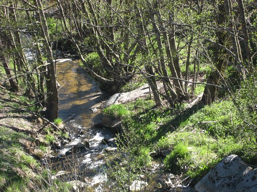
On our way to the double 31-34 bordermarkers, these impressive boulders. We follow the the stream on the Llivian-side, later a bit higher on the hill slope, in the end descending on a gentle slope back to the stream. |
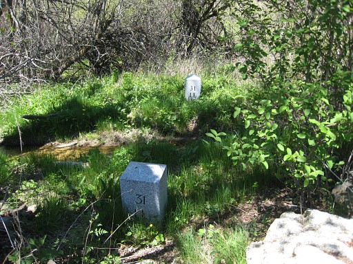 |
LL31 to 34 cannot be missed on either side of the stream. Both LL31-markers seen from Llivia |
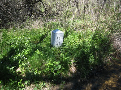 |
LL31fr |
 |
Both LL31-markers, seen from France |
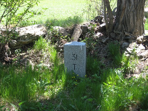 |
LL31ll |
 |
Both LL31-markers |
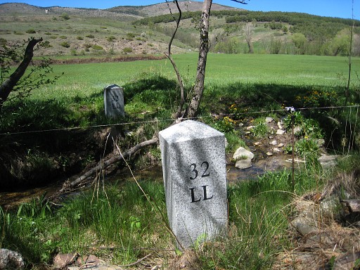 |
Both LL32-markers, seen from Llivia |
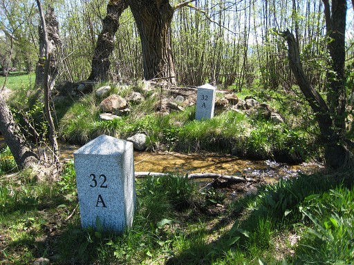 |
Both LL32-markers, seen from France |
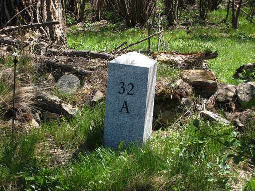 |
LL32ll |
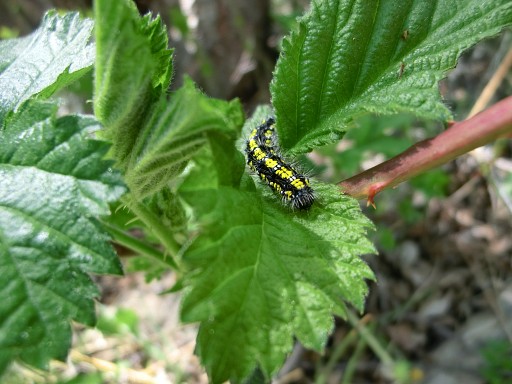 |
While I do the bm-spotting, Jan-Willem spots nature. (photo by Jan-Willem) |
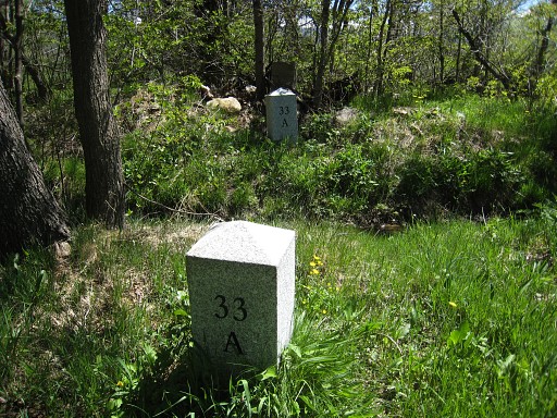 |
Both LL33-markers, seen from France |
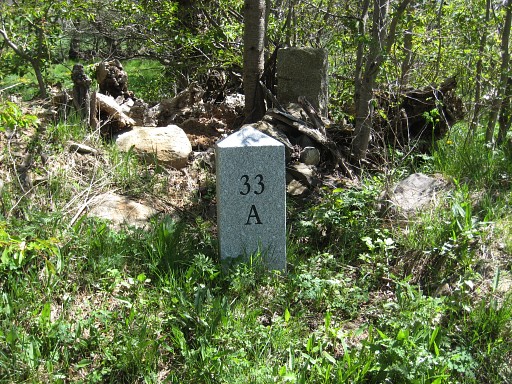 |
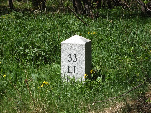
LL33ll |
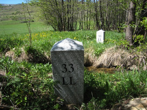 |
Both LL33-markers, seen from Llivia. |
 |
LL33fr |
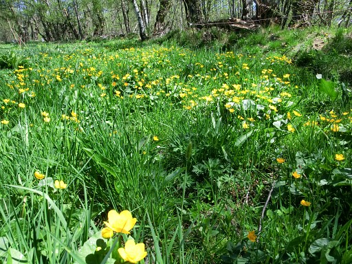 |
It's springtime, a lovely scene (photo by Jan-Willem) |
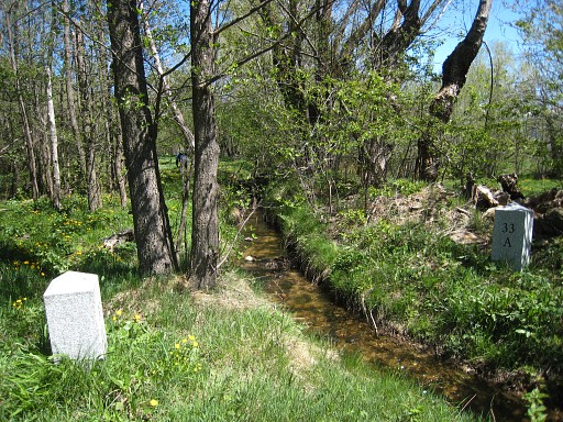 |
Both LL33-markers |
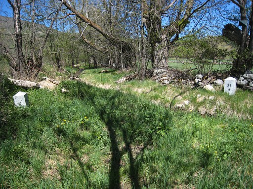 |
Both LL34-markers |
 |
LL34fr |
 |
Both LL34-markers, seen from Llivia |
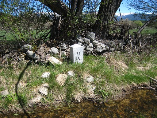 |
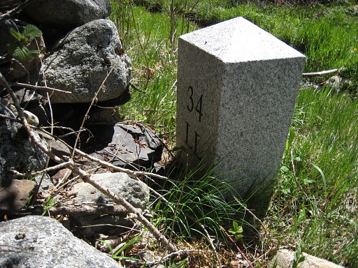
LL34ll |
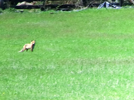 |
In between, we spot a fox in the fields. (photo by Jan-Willem) |
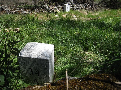 |
Both LL-34-markers, seen from France |
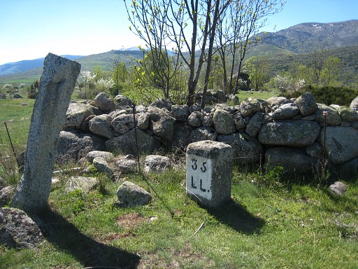 |
We continue to LL35 |
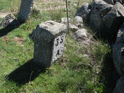 |
LL35 and then return: crossing the fields to the dirtroad and heading northwards. |
 |
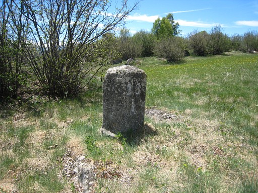
We make a final detour to revisit LL25 |
 |
LL25 again and descend steeply |
 |
to LL24 |
 |
LL24 |
 |
LL24 |
 |
LL24 |
 |
LL24 |
 |
LL24 |
 |
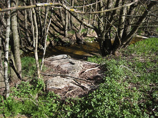
LL24, seen from far from the sewage-installation on French territory. |
 |
with this zoom-in to the rock-in-question. |
 |
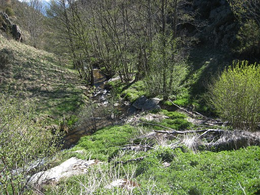
and return - climbing parallel to a stream - to the camping. On this altitude, it gets quite chilly in the evening. |