|
The
bordermarkers of the Pyrenees : all my trips
 |
|
| - 30 august
2012 - Toilettes sêches |
 |
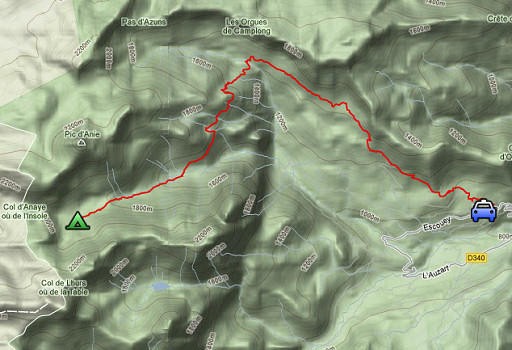 |
esfr-trip-track-20120830.kml (click to open this trip in Google Earth or copy link to Google Maps; click right on this link to download gpx-version) Summary: part of a 2½-weeks-trip to the Pyrenees with a lot of targets, most of them reconnaisances of routes for the GRPdesBF. Day 5: end of a 3-days-trekking to explore routes in the bm270-272-area, bad weather forces me back to Lescun Weather: cloudy, sometimes drizzly |
 |
For
explanation of
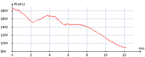
the gps-coordinates and other cartographic backgrounds: see my cartography page Start: 11.00, break: 13.00-13.45, finish: 16.00, net walking time: 4¼ According to the gps-tripteller: Distance: 16.3km En route: 5.13h Total ascent: 312m Maximum height: 1868m |
 |
According
to visugpx - distance : 12,4 km - cum. elevation gain : 247m - cum. elevation loss : 1209m - total elevation: 1456m - altitude maxi : 1861m - altitude mini : 891m - altitude average : 1439m |
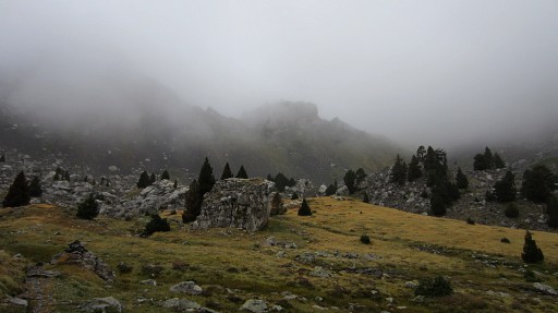 |
I start late, waiting/snoozing in my tent, hoping that the drizzle
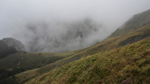
stops and the skies open up brightly towards the mountains. The latter - however - won’t happen today. Trying the Col des Ourtets to the Table des trois roi or a crossing of the ridge to Lac de Llurs is no option because of the low clouds. |
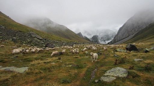 |
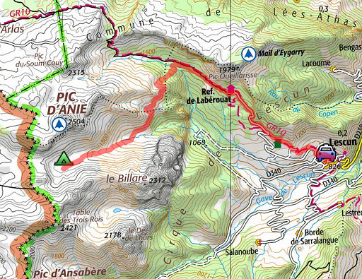
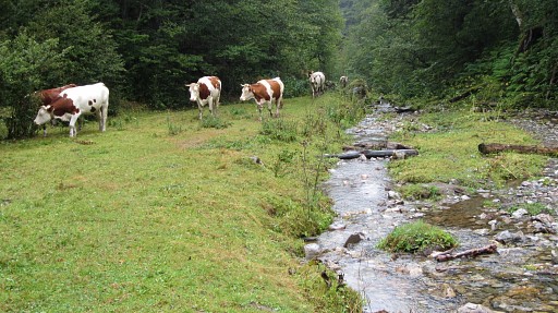
Instead I descend in the valley |
 |
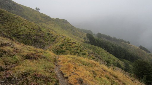
and walk the HRP-trail to Cabane de Lacure to gps-track it and see if there are any wayfinding-issues. I don’t know yet of this trail will become part of the GRPdesBF but it’s practical to survey it now. This picture: the trail towards Cabane de Lacure. |
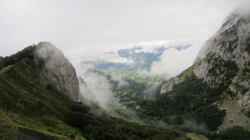 |
While climbing, looking down SE towards Sanchèse. |
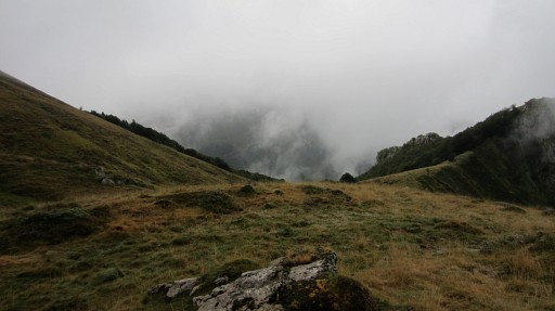 |
A bit further and looking forward to a kind of saddle between hillside and a rocky summit. You will traverse along the hillside and skirt the W-side of the saddle. |
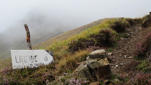 |
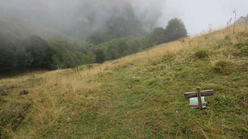
A branch to the W to the cabane de Lagne |
 |
Now I'm a lot further and looking back at the saddle. |
 |
And now in the distance the edge of the forest where the trail passes just above it and will bring you to |
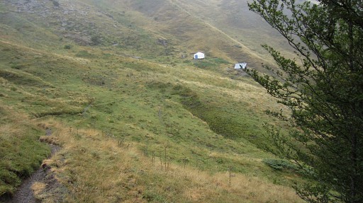 |
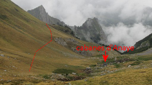
Cabane de Lacure. Lunchbreak. If you go the opposite way from Cabane de Lacure to the cabanes d’Anaye: - head SE to the trail just above the forest-edge - follow that one until you arrive at a grassy saddle or pass with Pic de la Brecque at your left - the trail gets vague here but after the saddle/pass (stay above the flat saddle itself), the trail reappears and descends SW to the cabanes d’Anaye |
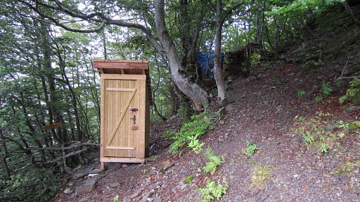 |
I check de ‘toilettes séches’ in the forest. |
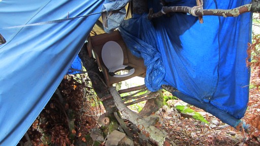 |
Useful when you accomodate groups in the cabane/yurt but otherwise a bit silly in a terrain with animal shit everywhere. |
 |
Then I take a trail NE down the hillside and through the forest |
 |
to this stream and then up to the GR10 (at that junction signposted with “Cabane de Lagne”) In between I meet the shepherd of Cabane de Lagne, carrying his little daughter at his back, and his wife. They're on their way uphill to their cabane. He tell’s me that the weather will be fine tomorrow. |
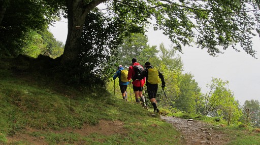 |
At the GR10 I meet these three
frenchmen who do the GR10 in trailrunning-style which takes them 29
days, eating and sleeping in gîtes and refuges. |
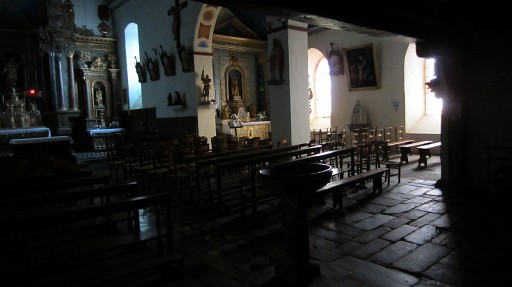 |
In Lescun I visit the nice and silent church and finish with a coffee before driving to the Urdos-camping. |
| previous
trip next
trip |
|