|
The
bordermarkers of the Pyrenees : all my trips
 |
|
| -
monday 14 april
2014 - Where did I go wrong? |
 |
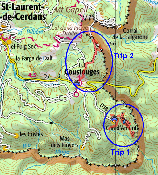 |
Summary: part of a 6-days
trip to the Eastern Pyrenees, exploring
routes between bm521 and bm545. Basecamp: the camping municipal in St-Laurent-de-Cerdans. Day 6: two trips: - in the morning exploring trails beneath Can d'Amunt to see where I went wrong on wednesday 9/4 - in the afternoon trying a direct trail from Coustouges to bm543-545 Weather: sunny & warm |
 |
Trip 1 20140414-trip1.kml (click to open this trip in Google Earth or copy link to Google Maps; click right on this link to download gpx-version) Exploring trails beneath Can d'Amunt to see where I went wrong on wednesday 9/4 |
 |
For
explanation of
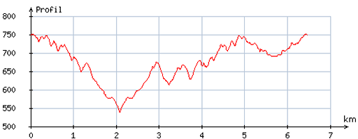
the gps-coordinates and other cartographic backgrounds: see the cartography-page Start:9h, no break, finish: 13.15, net walking time: 4.15h According to the gps-tripteller: Distance: 7,4 km Total ascent: 454m Total denivellation: 908m Maximum height: 761m Total time: 4.22h |
 |
According
to visugpx - distance : 6,6 km - cum. elevation gain : 390m - cum. elevation loss : 392m - total elevation: 782m - altitude maxi : 752m - altitude mini : 539m - altitude average : 677m |
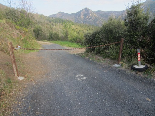 |
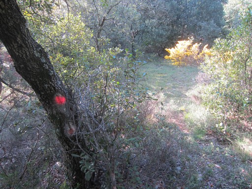
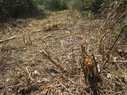
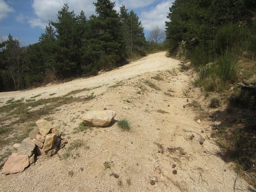
Beneath
Can d'Amunt I want to check the trails along the 'route normale' to
bm542, especially to see where and why I went wrong last week on 9-4-2014. I descend along the dirtroad. Nowadays it's blocked by a chain and a sign telling it's private property. But there's no 'no entry'-sign. |
 |
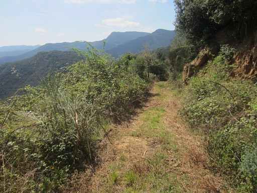
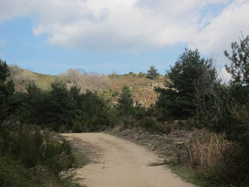
I descend - keeping right - along the winding dirtroad |
 |
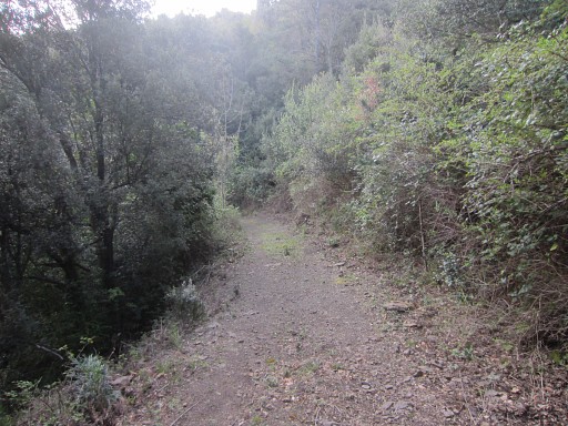
until the bend where
the entrance is into the forest. |
 |
In recent years I entered here twice (on
18-3-2009 and 24-5-2011) on a trail to go hence and forth to bm542. At least, that's what I thought, only a few weeks later I will learn that I was wrong. Anyhow, I enter the forest here but now, there's no obvious ongoing trail anymore! That explains why I could't find it last week. |
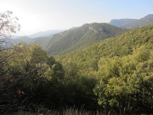 |
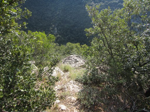
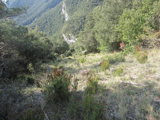
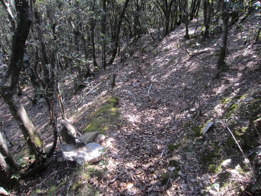
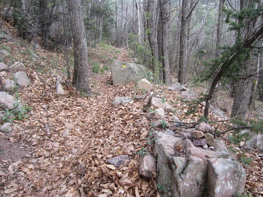
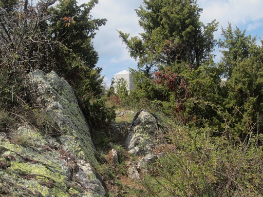
There are traces of trails but they all become vague after a while. But further on - going S - I find one and it takes me with some winding (and with this viewpoint over the valley SE) |
 |
to a junction with
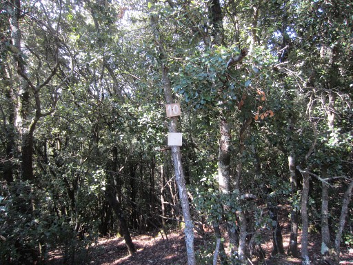
another path. I go right and continue further SE-S and along several hunter's posts and signs (like this one), the writings sometimes faded away. |
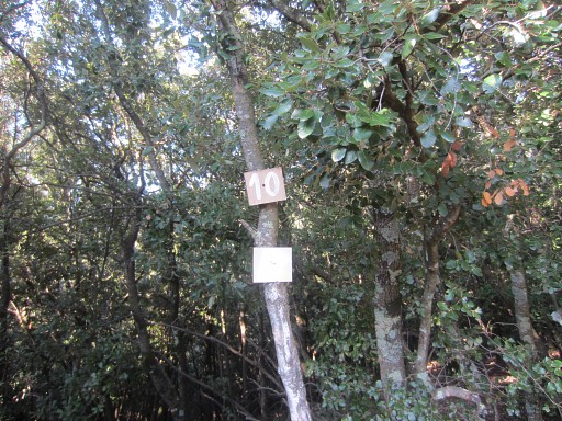 |
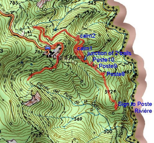
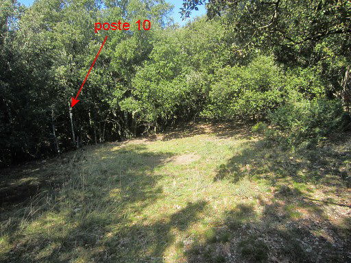
Poste 10 is at the edge of a small open space |
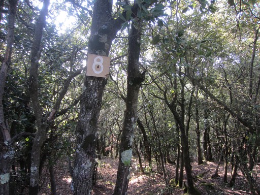 |
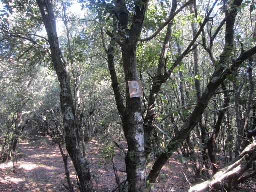
Further on: Poste 8 (I passed Poste 9 in between) |
 |
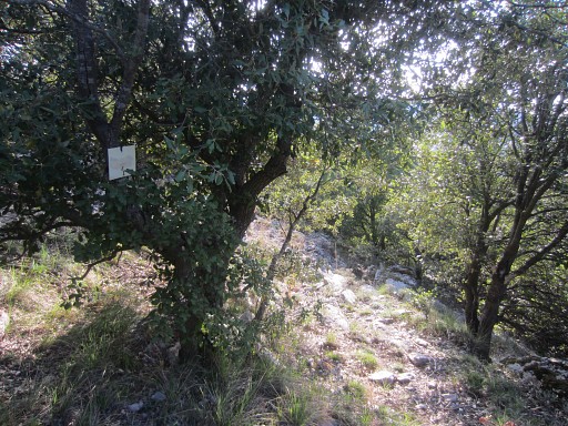
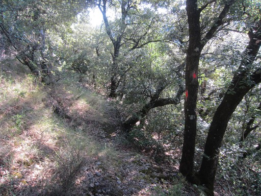
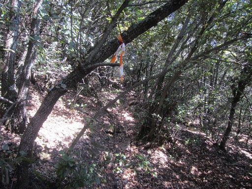
Fluorescent red waymarking gets more prominent. |
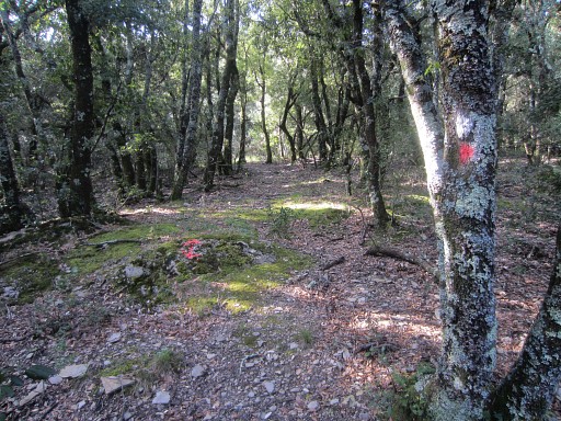 |
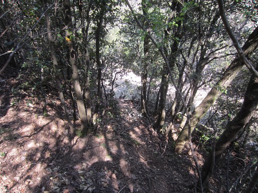
Wayfinding is now not difficult. |
 |
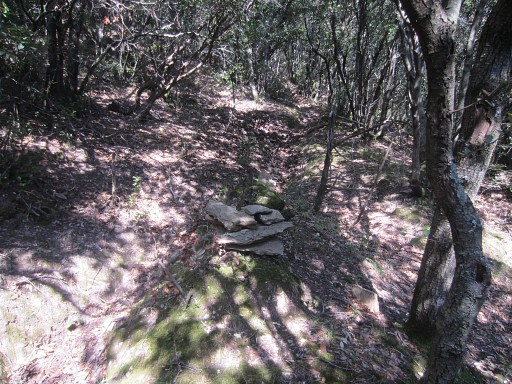
Then, approximately from this point onwards, there's a steeper descent making a slight curve which brings me |
 |
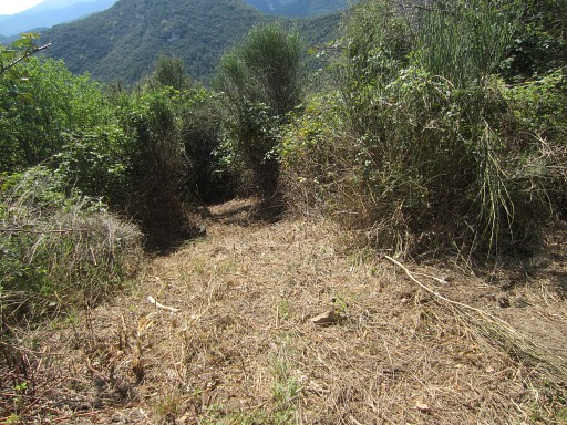
at the beginning of the large grassy open strip which descends to the S. |
 |
To go to bm542 you have to descend here down the grassy strip and at the end (at the right sideof it) take the trail which descends E->SE to the Rio Major. |
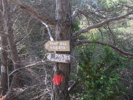 |
A few meters further there are two signs on a tree to the left: "P Font d'el Gabatx" and "Poste Rivière". |
 |
But I don't continue to bm542, I return. And that gives the following directions if you come from bm542 and have climbed the open grassy strip: - and the end of the open grassy strip, continue on the trail which is waymarked with fluorescent red paint. - the trail first climbs a bit steep and with a slight curve to a sort of hilltop. |
 |
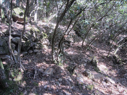
- then it continues NNW -> NW and passes along the hunter's posts: P8, P9 |
 |
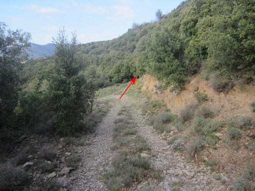
and - at this open space - P10. But ± 100m beyond P10, there's a crucial point! The trail goes straight on AND there's a branch climbing to the left. |
 |
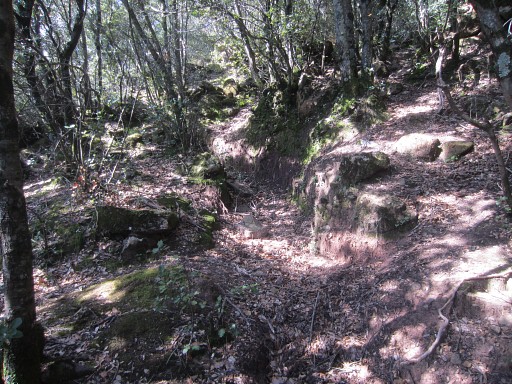
The trail straight on seems the obvious route to the entrance of the
forest which I try twice. However: the trail fades away and in both cases I end up somewhere below the entrance of the forest. |
 |
With help of my gps, I
climb twice back to the entrance and return to P10 Surprisingly - when looking at my pictures -: I didn't spot Sign 9-10 and that's where I took a wrong direction last wednesday. |
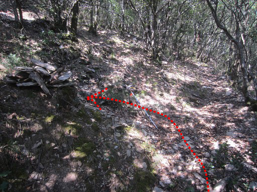 |
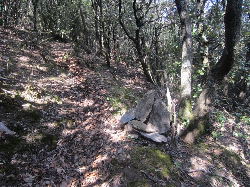
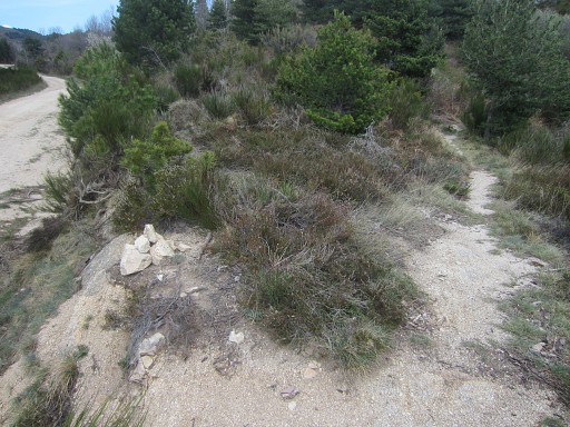
The big question is: how should I proceed from P10 to get on the dirtroad. Well, as said, there's a crucial point ± 100m beyond P10: the trail goes straight on AND there's a branch climbing to the left Now: don't go straight ahead but take the branch climbing to the left. I made a cairn at this point. |
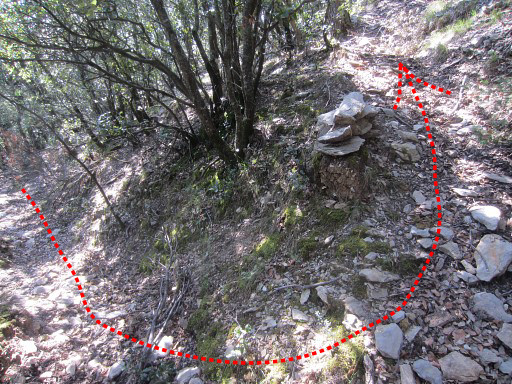 |
Same cairn, seen from the other side. |
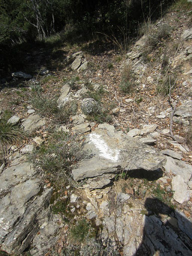 |
The trail now climbs first SW then NNW. In between there are white waymarks's and |
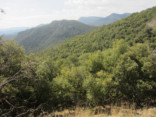 |
at one point there's this
marvellous view over the valley SE and |
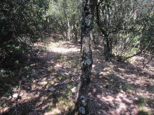 |
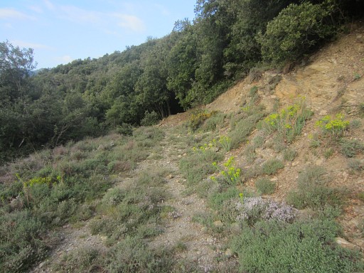
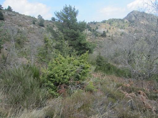
then the trail brings me (after 100-150m from the cairn to this small open space But from here, there's no obvious trail going N->NE towards the entrance. One consolation: if you - having arrived at this open space - would go straight N working your way through the forest, you must reach the dirtroad after 200-250m |
 |
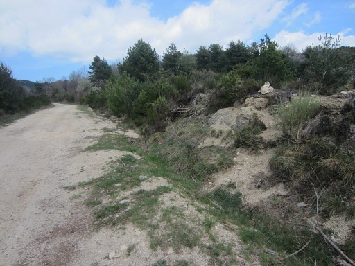
But then - from the open space - I suddenly spot this cairn 25m NW along a sort of gully. |
 |
That gully is in fact a trail. I explore it: it's easy to follow in its course to the N. for ± 250m but finally gets overgrown. This picture: it seems if the trail makes a zigzag-course to a higher level. I can't remember that well. |
 |
Later
I will see on Google Earth that I was quite close to Can d'Amunt and
possibly 20-30m away from a trail coming from Can d'Amunt. That
deserves a new exploration in later years. But I have also doubts about the the correctness of this part of the gps-track. As said the trail gets overgrown. I check my smartphone with its Osmand-maps and I can see that the dirtroad is ± 200m away. |
 |
I go back on the trail for a while (30-50m) until I spot a glimpse of
the dirtroad down below to the E (However - when checking my gps-tracks - it seems that I took a different descent though I'm quite confident it was the same) Anyway, descending now to the dirtroad seems easy. I make a cairn where you have to leave the trail to descend to the dirtroad. This picture: looking back to where I came from: where the trail got overgrown |
 |
The same cairn - but now looking to where I came from in the beginning (I think) |
 |
The glimpse of the dirtroad. |
 |
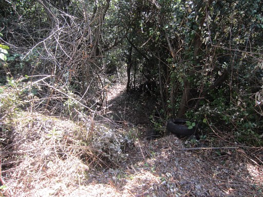
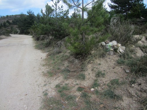
From the dirtroad: it is definitely an entrance to the forest. I think it's formed and in use by animals. |
 |
I build a cairn at the dirtroad where you should enter the forest uphill. The 'original' entrance (where I entered the forest this morning) is not far away: ± 150m down this dirtroad (in fact it's two bends further away, see hereunder) Alltogether, it's a more straightforward and better to navigate route to and from bm542 than the original 'route normal' via the 'entrance'. |
But
I'm still puzzled by the difference between the gps-track and the track
according to my memory. Let's put them together on the map. 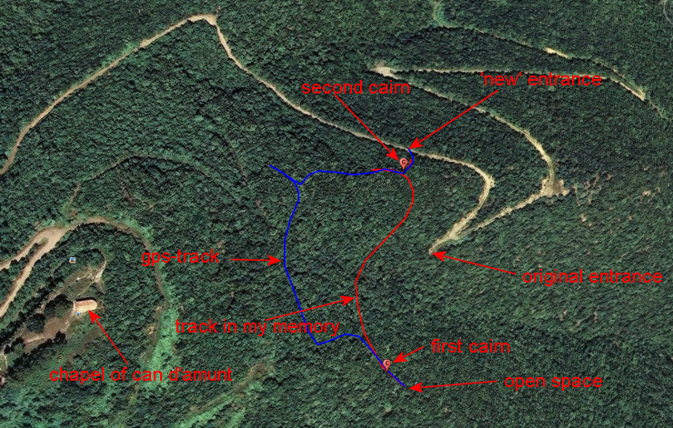 I'll have to return. |
|
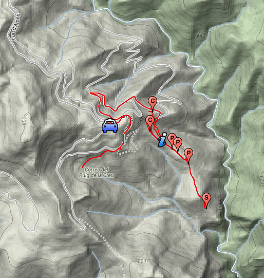
| But VERY, VERY EMBARRASSING: weeks later at home, I discover that I tried to enter the forest at at different spot than back in on 2009 and 2011). And that explains all my confusion today. It's time to assemble all the routes and waypoints I collected through the years sofar and put them together in one Google Earth-kml-file. I call it the Bm542 to Can d'Amunt survivalmap. I should help you to get smoothly from bm422 to Can d'Amunt. There's also a gpx-version which you can upload to your gp Let's show them on various maps: |
|
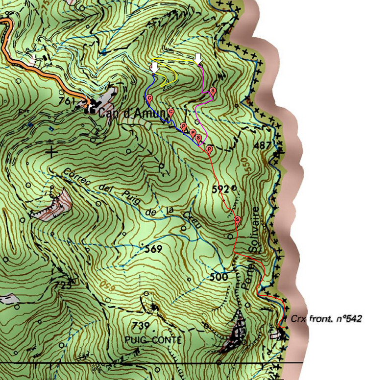 This is an overview on the French IGN-map |
|
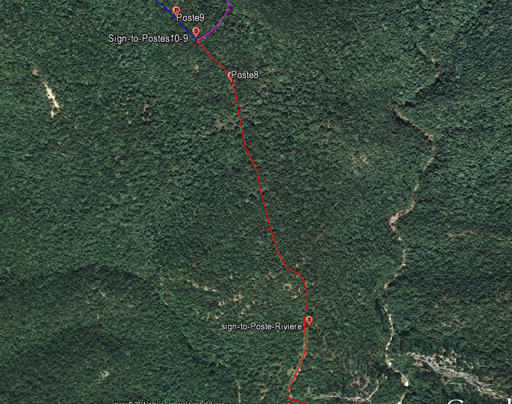
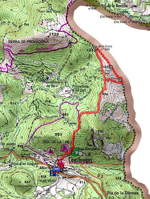
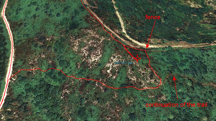
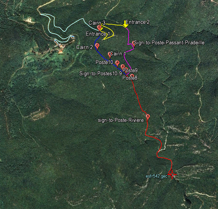 But the various subroutes and waypoints are better to see on this Google Earth-map: - the red route takes you from bm542 until the sign pointing to P10-9 -> 1,1km (182m up, 27m down) - from that point there are two routes towards the dirtroad: - the purple route takes you via the sign to 'Poste Passant-Pradeille' to the entrance of the forest which I used in on 2009 and 2011, this is the 'classic' route -> 0,5 km (80m up, 18m down) - the blue route along P9 and P10 and 3 cairns brings you to a new entrance which is closer to Can d'Amunt, that's the route I explored today -> 0,5 km (35m up, 30m down) - the yellow line is the dirtroad from Entrance 1 to Entrance 2 -> 0,5 km (79m up, 23m down) - the light-blue line is its continuation to Can d'Amunt -> 1,1 km (153m up, 66m down) |
|
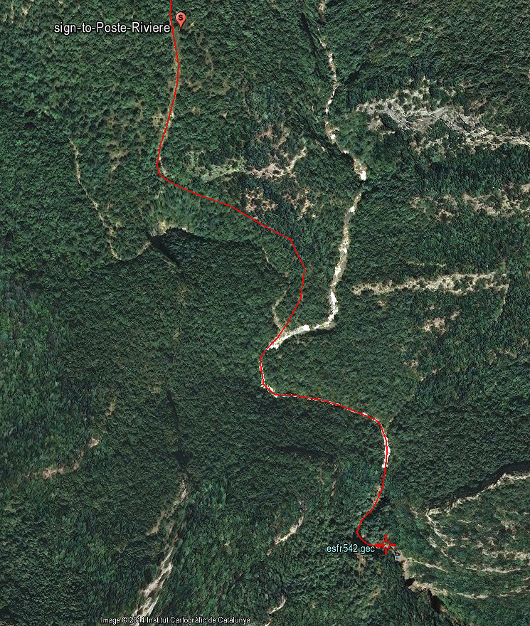 The first part of the red route in more detail |
|
 The second part of the red route in more detail |
|
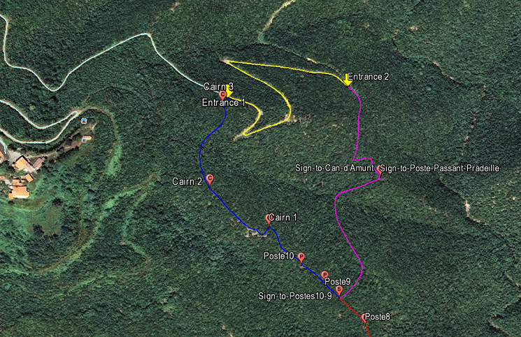 The purple and blue routes towards the dirtroad in more detail. |
|
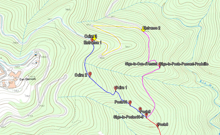 Finally both purple and blue routes projected on an ICC-map, showing the elevation lines. |
|
 |
I
go back to Can d'Amunt and try just beneath it a sideway which |
 |
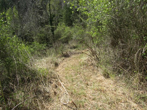
must have been cleared
of its blackberry and bush quite recently. It bends and descends for ± 600m around Can d'Amunt which is uphill and then ends. |
 |
There's
an intruiging branch after 300m, an also cleaned strip, going steeply down S. |
 |
Old car-tyres lie around. At one point it gets a bit too steep. Perhaps a new hunter's access the area beneath Can d'Amunt. That's for another exploration in another year. I go back and continue along the stripped dirtroad. |
 |
Then - after ± 600m - the dirtroad ends. Later - watching my route on the maps - I can see that it ends at the beginning of a stream(bed) which descends to the Rio Major. But enough for now. I go back to the car and drive to Coustouges for my second trip. |
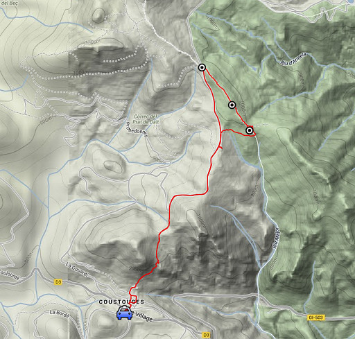 |
Trip 2 20140414-trip2.kml (click to open this trip in Google Earth or copy link to Google Maps; click right on this link to download gpx-version) Exploring a direct trail from Coustouges to bm543-545 |
 |
For
explanation of
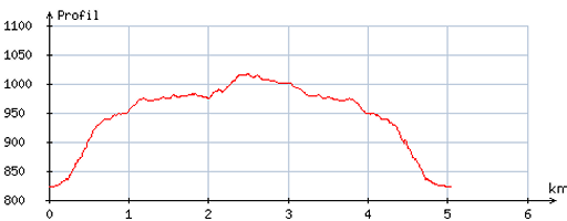
the gps-coordinates and other cartographic backgrounds: see the cartography-page Start: 13.45, no break, finish: 15.45, net walking time: 2h According to the gps-tripteller: Distance: 5,2 km Total ascent: 201m Total denivellation: 402m Maximum height: 1034m Total time: 1.55 |
 |
According
to visugpx - distance : 5,1 km - cum. elevation gain : 183m - cum. elevation loss : 178m - total elevation: 361m - altitude maxi : 1016m - altitude mini : 822m - altitude average : 934m |
 |
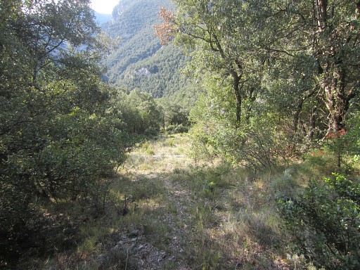
I want to try the trail which climbs steeply from the
villlage NE->N until the sandy dirtroad higher on. On 20080407 we took the dirtroad which winds E around the Roc de la Creu, the hilltop above Coustouges. That's a considerable detour. |
 |
The trail is apparently part of Tour de Vallespir |
 |
and this part is essentially yellow waymarked. |
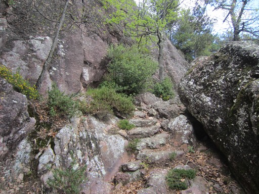 |
It climbs steeply in the beginning on |
 |
well and nice trails. |
 |
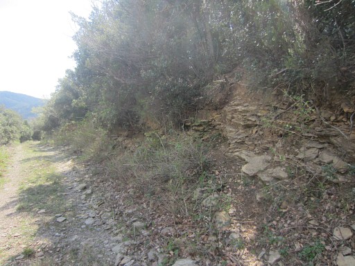
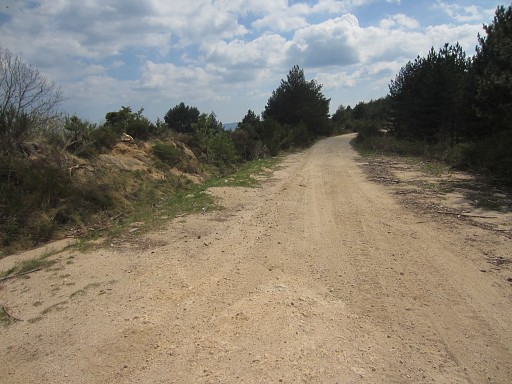
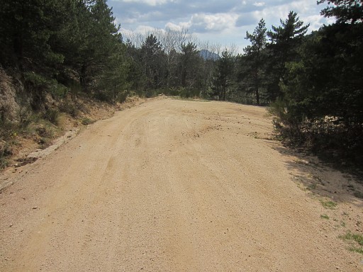
Having arrived on the dirtroad, I proceed to the right |
 |
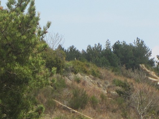
Further on, after ± 1/2 km, I spot to the NE the hillridge where bm543 (and 544) should be located. |
 |
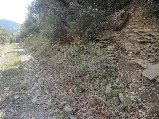
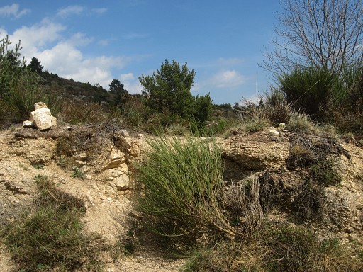
I know there's a trail from the dirtroad towards bm543 but where does it start? A first cairn along the road gives no access to such a trail. |
 |
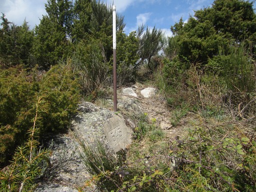
but
the second one - 100m further - is the one. Actually , you can already spot in the distance the white metal pole besides bm543 (see the pictures further on) |
 |
The cairn and the trail to follow. |
 |
The trail (which for the GRPdesBF must become a variant, too much blackberry further on) leads me to a hillside. Its course is E-SEE for ± 250m, (passing in fact underneath bm243), then bends N to climb the hillside. Note: that bend to the N is the dominant course of the trail but the trail also continues straight ahead (NE -> SEE) on a smaller path. Don't go wrong there. Let's show it on a map: |
 |
|
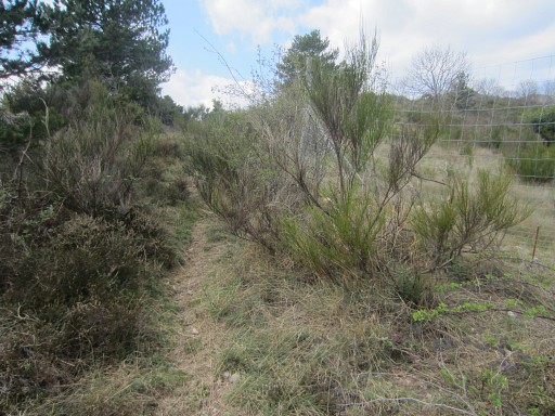 |
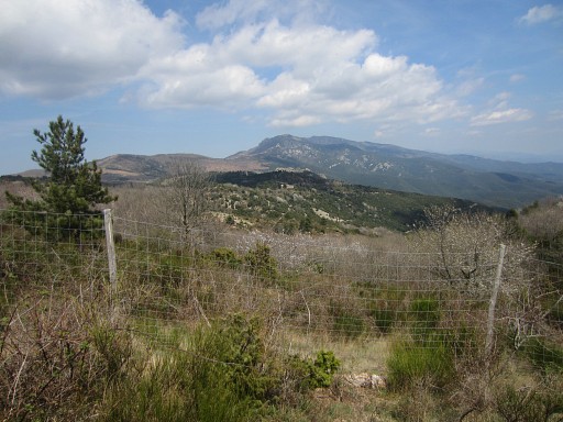
It climbs NNW and arrives at a high fence From there the trail goes left along the fence. |
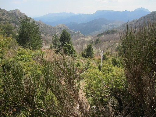 |
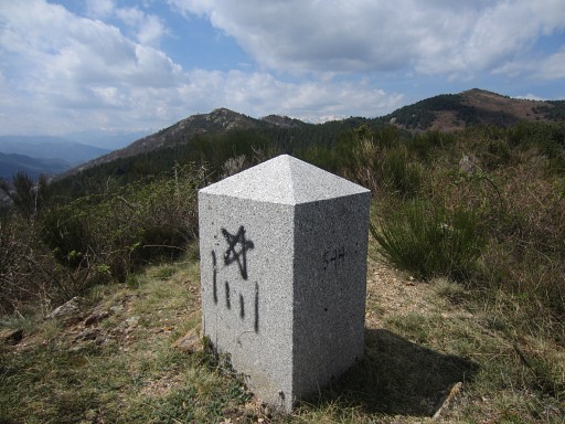
When you have reached the ridge after ± 30m, there a side-trail going SE. In 40m hence and forth, I visit bm543, finding facilitated by a metal pole. |
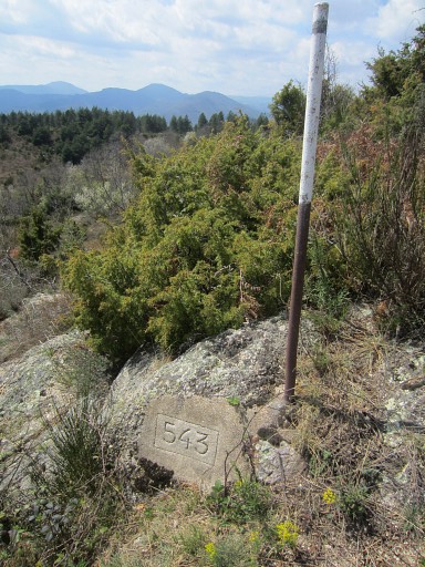 |
Bm543 |
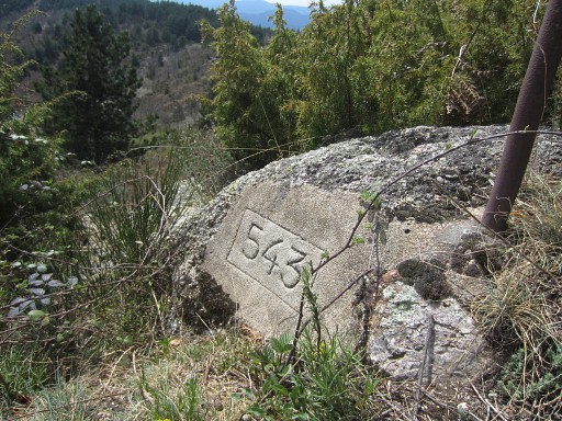 |
Bm543 |
 |
Bm543 |
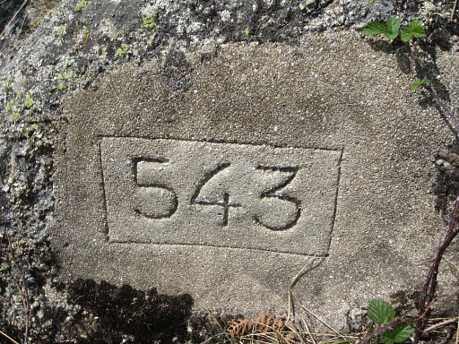 |
Bm543 Then back and continuing on the pricky trail along the fence to bm544 |
 |
In between this view NE |
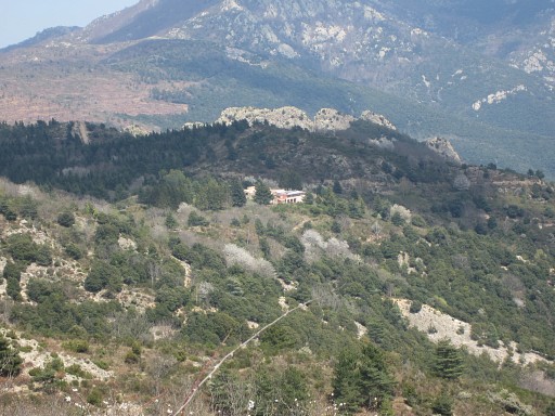 |
to Corral de la Falguerona where bm550 is situated. |
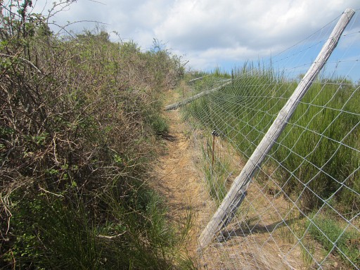 |
Continuing along the fence |
 |
and arriving at bm544 |
 |
Bm544 |
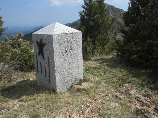 |
Bm544 |
 |
Bm544 |
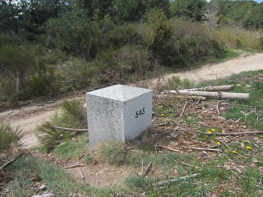 |
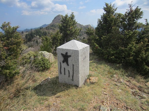
And further on - and back at the dirtroad - bm545. |
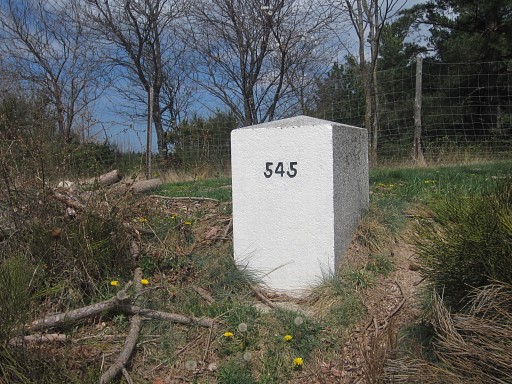 |
Bm545 |
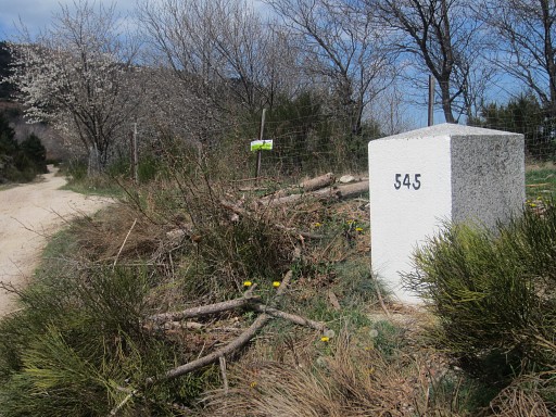 |
Bm545 |
 |
Bm545 I'm tired and return along the dirtroad. |
 |
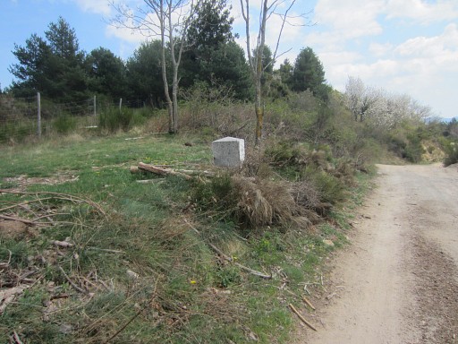
At the left side the cairn at the beginning of the trail towards bm543. |
 |
I can spot from this place |
 |
the white pole besides bm543. |
 |
At this bend of the dirtroad, the yellow trail enters the forest and descends to Coustouges. |
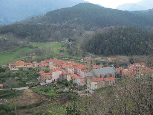 |
In between a viewpoint with this lovely view of Coustouges. |
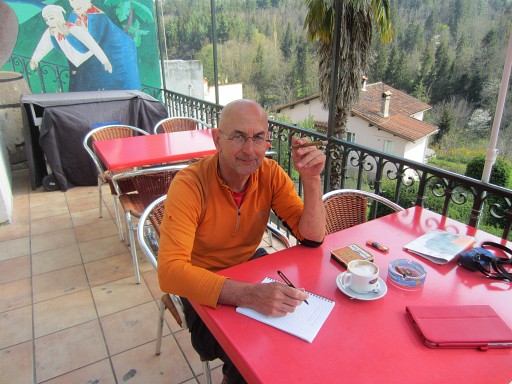 |
End of my explorations for this holiday. In St-Laurent-de-Cerdans I find a nice cafe with a lovely terrace ánd wifi. |