|
The
bordermarkers of the Pyrenees : all my trips
 |
|
| - wednesday 9 april
2014 - Saved by my smartphone |
 |
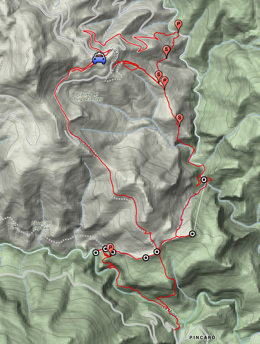 |
esfr-trip-track-20140409.kml (click to open this trip in Google Earth or copy link to Google Maps; click right on this link to download gpx-version) Summary: part of a 6-days trip to the Eastern Pyrenees, exploring routes between bm521 and bm545. Basecamp: the camping municipal in St-Laurent-de-Cerdans. Day 1: from Can d'Amunt redoing bm536-542 with 2 main goals: exploring the routes to bm536-537 and trying a direct descent to bm542 Weather: sunny, nice temperature |
 |
For
explanation of
the gps-coordinates and other cartographic backgrounds: see the cartography-page Start:8.30, break:14-14.45, finish: 20.15, net walking time: 11h According to the gps-tripteller: Distance: 16,3 km Total ascent: 1091m Total denivellation: 2282m Maximum height: 772m Total time: 11.53h |
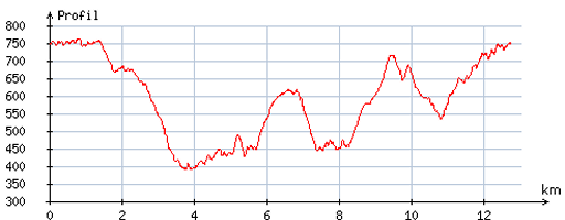 |
According
to visugpx - distance : 13.1 km - cum. elevation gain : 893m - cum. elevation loss : 898m - total elevation: 1791m - altitude maxi : 762m - altitude mini : 391m - altitude average : 602m |
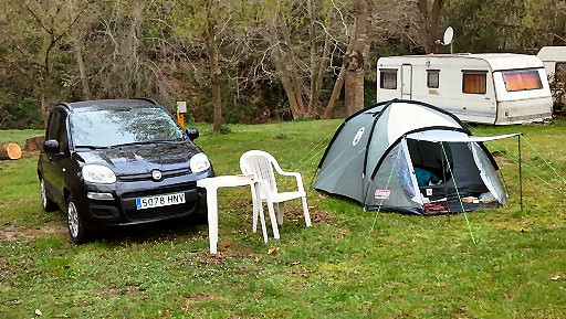 |
The day before I have arrived at the
camping municipal in St-Laurent-de-Cerdans. The camping was still closed but the keeper let me pitch my tent anyway. Flying to Girona and renting a car is faster and more pleasant than driving from Holland. |
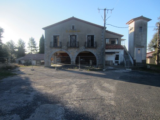 |
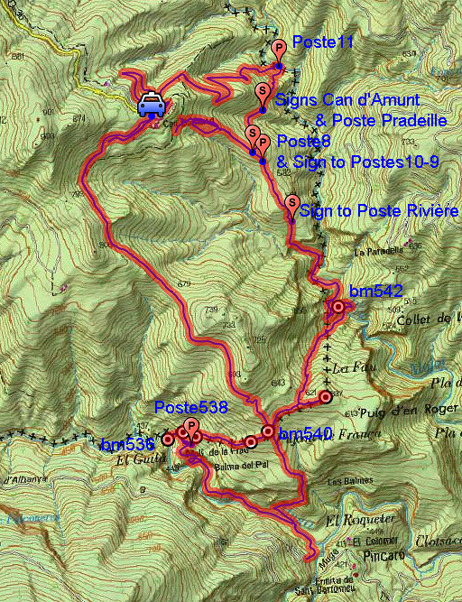
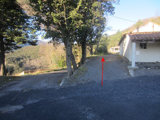
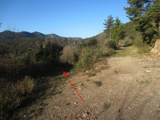
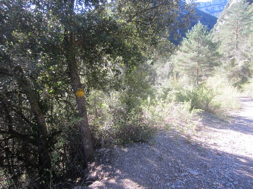
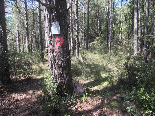
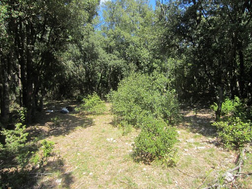
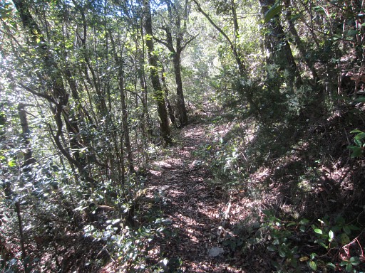
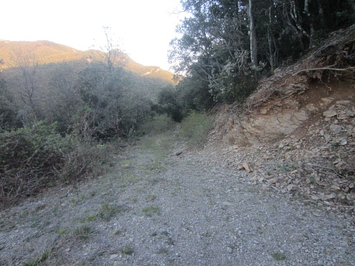
I park the car at Can d'Amunt. The old restaurant is still abandoned but the houses next to them are renovated. Usually I immediately go wrong, her at Can d'Amunt. The beginning of the yellow trail to bm540 is not waymarked. |
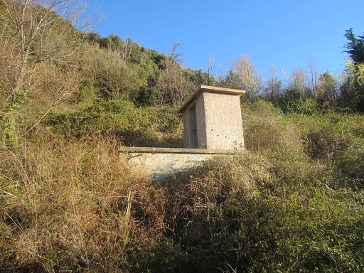 |
So I take the lower road/trail SW which ends beneath this water-reservoir with |
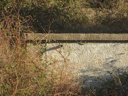 |
this pipe with streaming water (now). Could be useful sometime. |
 |
But I have to return. The road/trail to the right is the one I have to take. Soon yellow waymarks will appear and |
 |
a first bifurcation appears. Go left. |
 |
Further on, there's a second bifurcation. Take the left trail (the yellow one) |
 |
This is the third bifurcation. |
 |
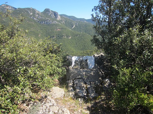
The trail left goes in the direction of bm541 |
 |
The right one goes to bm540, that's the one I take. |
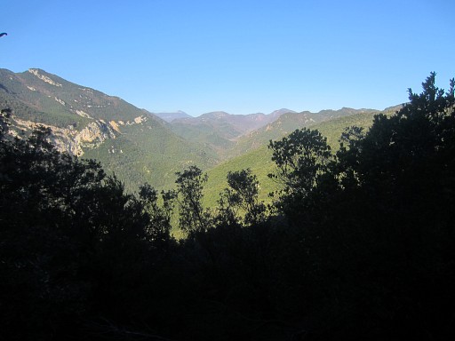 |
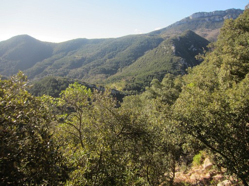
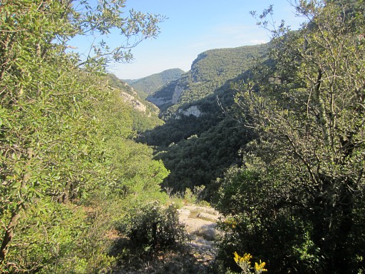
Further on, a view to the W to (probably) the sources of the Muga with |
 |
its (zoom-in) typical brown precipities. |
 |
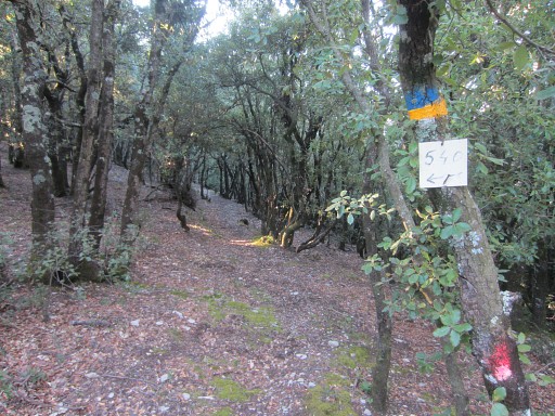
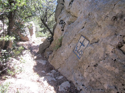
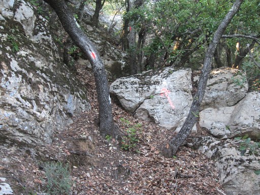
Here we arrive at the border where the trail descends into Spain with |
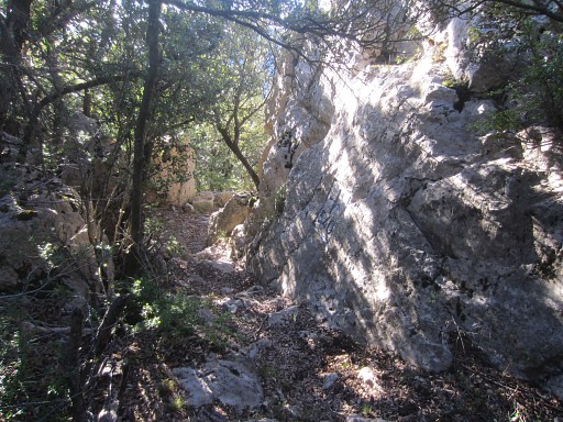 |
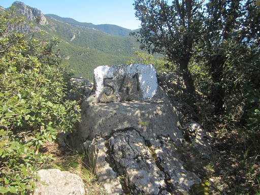
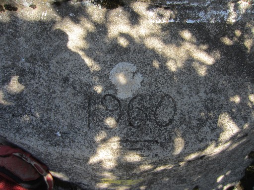
bm540 |
 |
Bm540, looking back |
 |
Bm540 |
 |
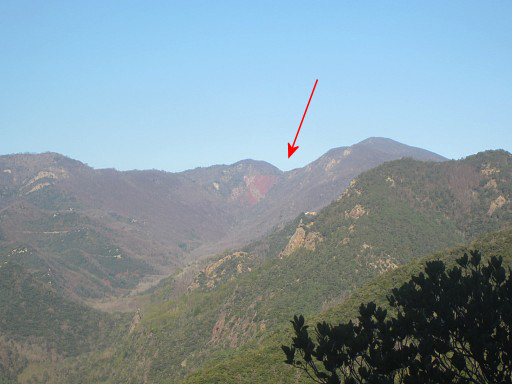
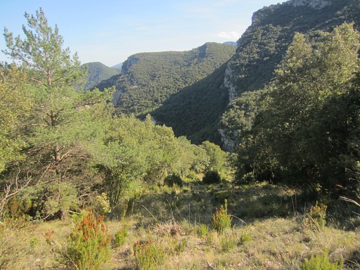
Then descending to the Muga, the trail is still yellow waymarked. At one point, there's this view of the valley ahead |
 |
with (zoom-in) the nice chapel of San Bartomeu de Pincaró. I bivouaced ther twice on 20090316 and 20090318 |
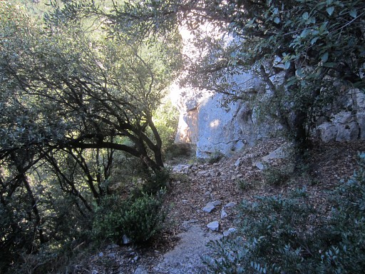 |
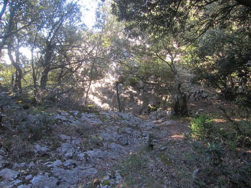
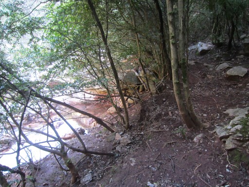
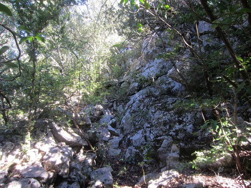
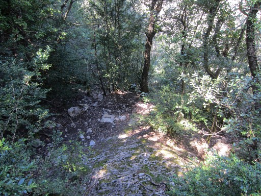
The trail descends further, then goes along this rockwall and finally arrives |
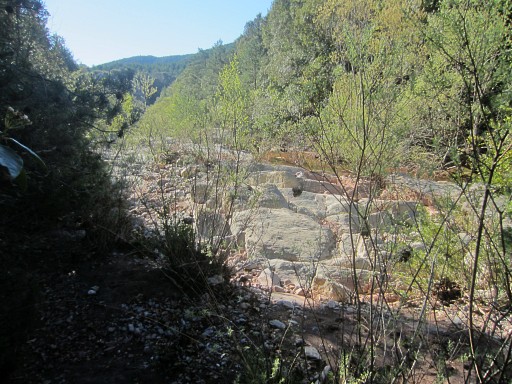 |
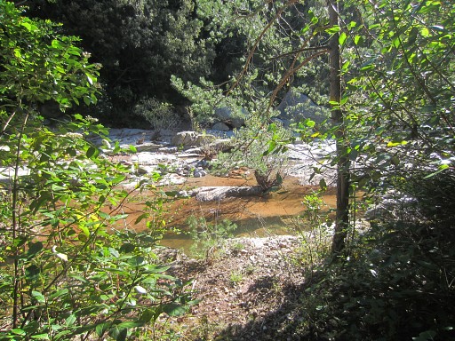
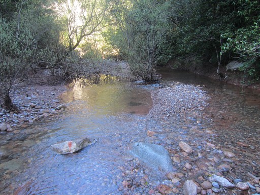
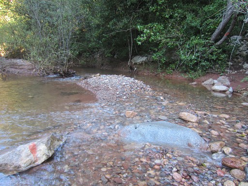
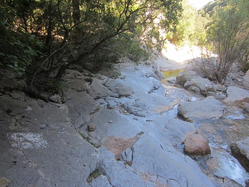
at the Muga. The yellow trail follows the partial dry streambed ± 50m downstream, |
 |
is waymarked with cairns and yellow signs and then continues on the other bank to climb |
 |
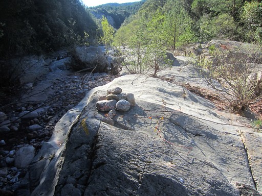
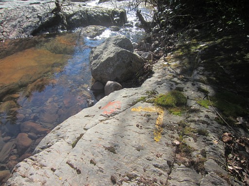
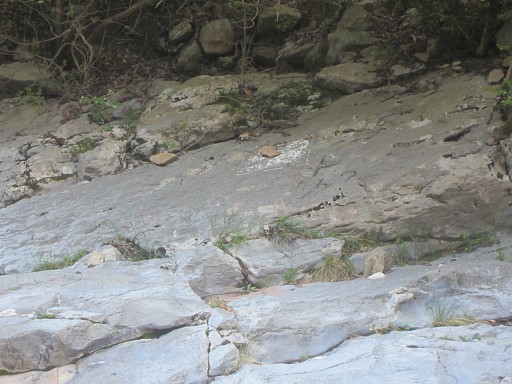
to the dirtroad. No big deal and I did it before but I walk the trail up to the dirtroad and back again for a new gps-track. This picture: a view from the dirtroad looking S = a bit up the road. It shows where the trail to the Muga starts. |
 |
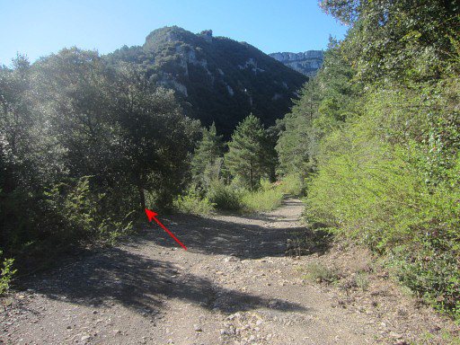
As you can see: yellow waymarked. |
 |
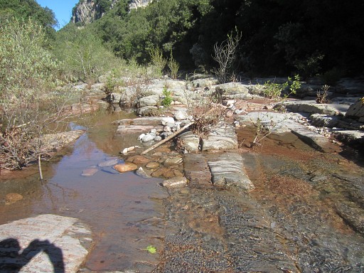
I return along the trail to the Muga |
|
with the yellow waymarks you need |
|
to cross it and follow the streambed. |
|
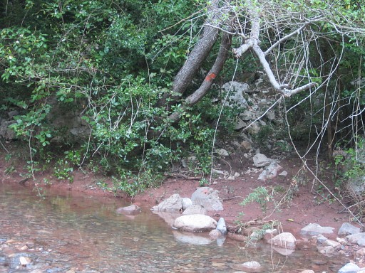
A mysterious sign which I saw a few times. |
|
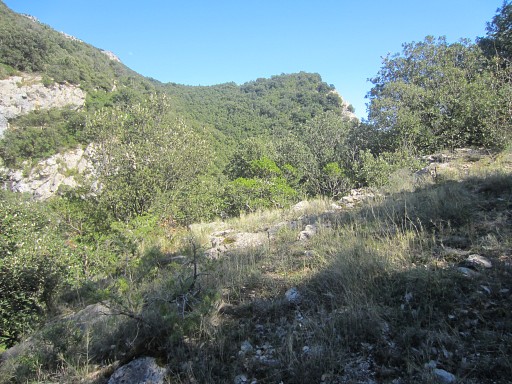
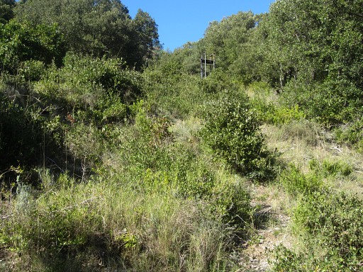
Then the yellow trail enters the forest again, going NW parallel of the Muga |
|
But - after ± 100m (?)
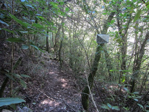
- the yellow trail branches right and starts to climb the hillside. There's a cairn and yellow signs to mark it but you might miss it and go straight ahead. And that's my route: continuing on this trail parallel to the Muga, now with no waymarks. I explored this route on 17 april 2009 |
|
It climbs above the Muga |
|
and descends
back to its bank. From there you could follow the riverbed upstream |
|
or
take a dry river-arm (as I did) to the right and reach the streambed
further on. I spot red waymarks in that dry river-arm. |
|
Zoom-in of previous picture. |
|
That dry rivier-arm get's a bit narrow at places but no problem to get through. You will |
 |
arrive at the Muga again with - again - red waymarks. |
 |
I spot other ones which show |
 |
where to climb the riverbank again. |
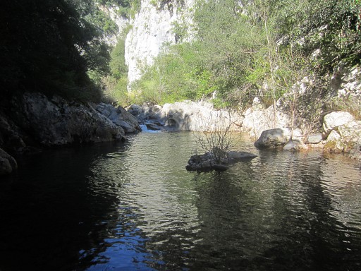 |
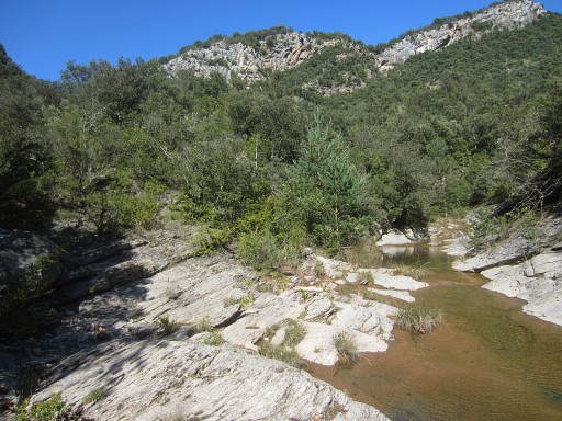
But first I want to try to follow the Muga upstream until
bm536. But I don't get much further. There's too much water now and there's a bit further a small cascade blocking continuation. |
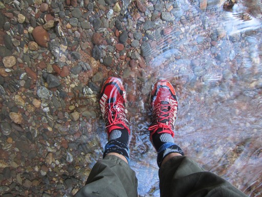 |
I have stopped worrying about wet feet. My trailrunning shoes easily dry again (but won't smell better) |
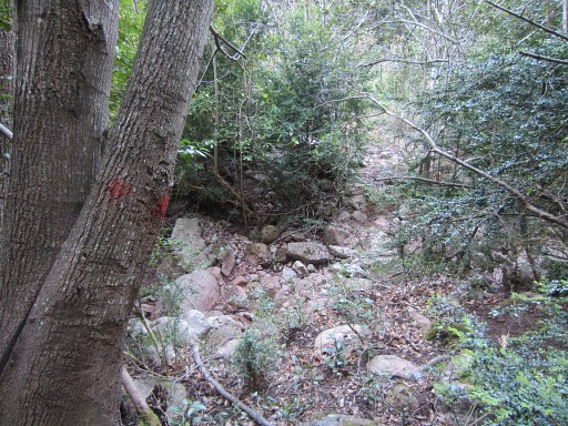
 |
I return to the red waymarks, where they enter the forest. From there a trail first zigzags NW uphill. Higher on, the trail becomes more vague but you should be able to reach |
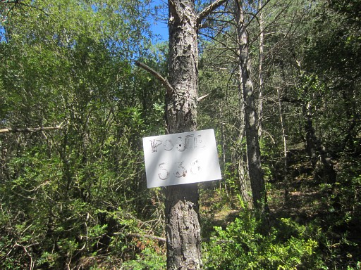
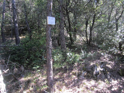 |
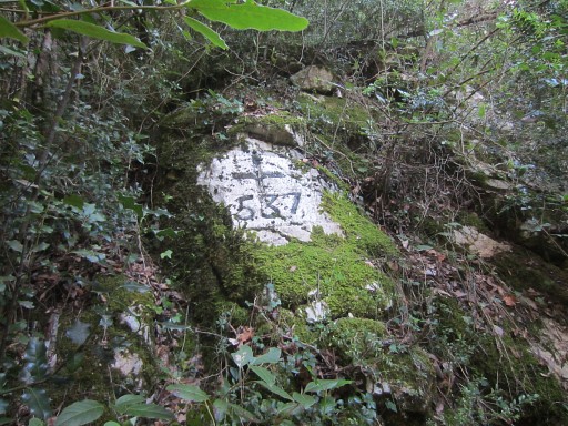
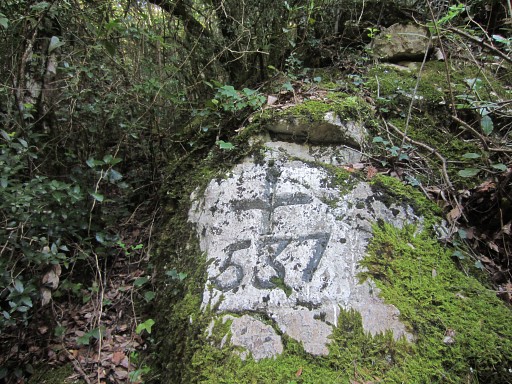
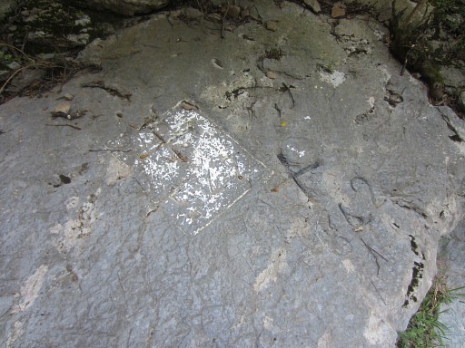
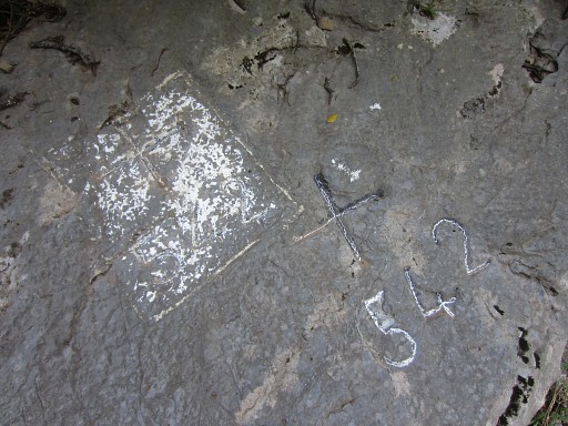
a hunter's sign on a tree: "Poste 538". |
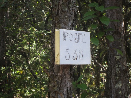 |
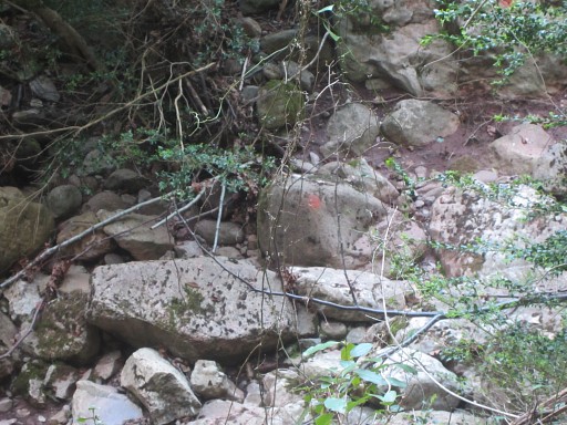
The same number is painted on a rock,
± 20m S down the hill. This Poste turns out to be crucial in finding elegantly your way to bm536 en 537. But that I will learn later. |
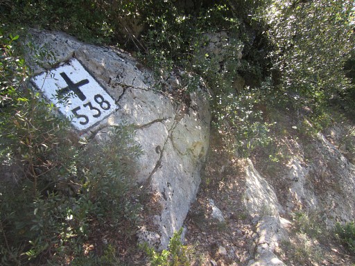 |
From the Poste 538, the trail reaches
bm538 in ± 100m NE uphill. |
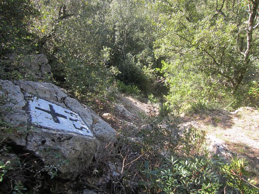 |
Bm538, looking ± SW where I came from. Just beyond bm538 (10-15m), there's a trail branching off left from the 'main' trail. |
 |
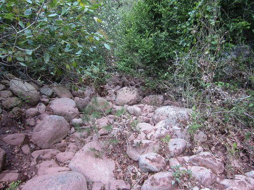
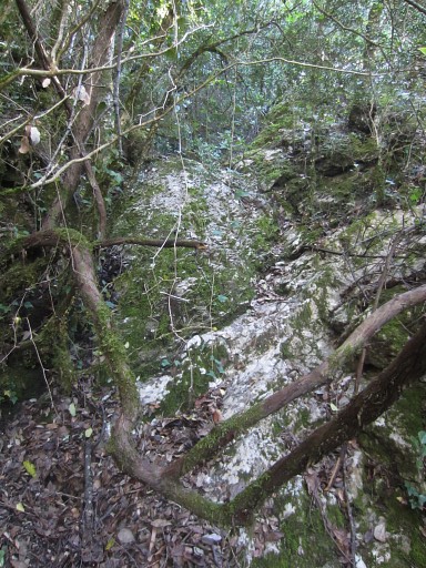
It brings you in ± 50m to the upper end of a ravine cq dry streambed which descends to the SW. |
 |
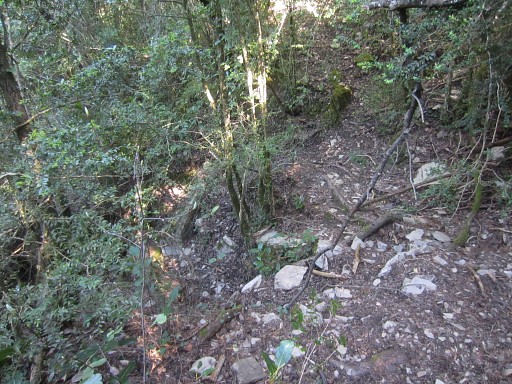
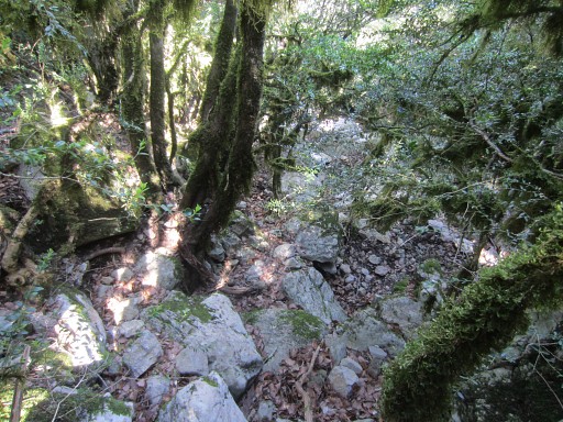
Descending down this ravine will bring you along bm537 and then - becoming the borderline - to bm536 at the bank of the Muga. |
 |
But descending is not that easy: at
one point I have to make a small detour at the right side when the
ravine gets too steep. |
 |
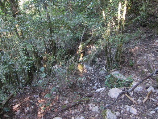
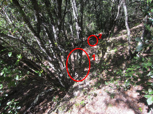
Further on I spot bm537 at the left side, ± 1-2m
from the streambed. You have to look back to spot it, otherwise you could miss it. |
 |
Bm237 Left of it, you can see the ravine. |
 |
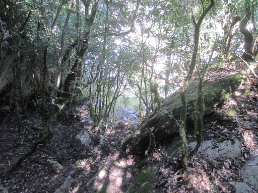
Bm237 From bm537, a sort of trail descends besides the streambed (S of it) which brings you in 25m to |
|
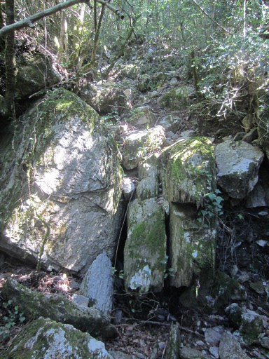
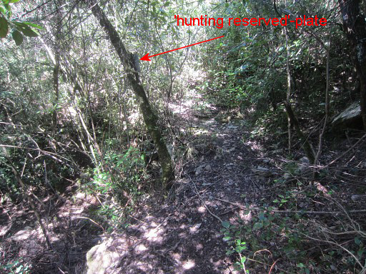
this distinct path crossing the streambed. Note the metal 'hunting reserved' plate which is a bordermarker in its own right. From that point, descending further in the streambed until the Muga is fairly easy. |
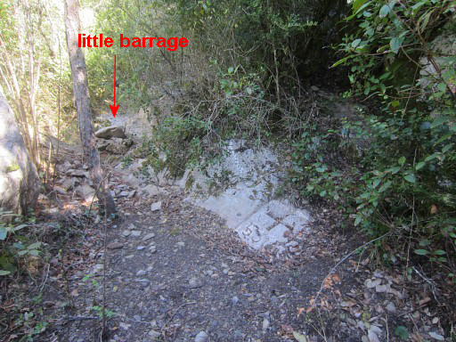 |
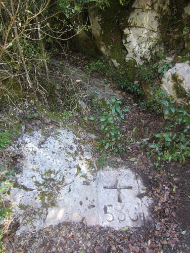
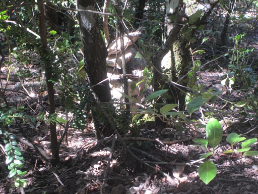
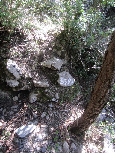
When arriving at the bottom of the ravine and leaving the forest, you're at the spot of bm536. Often - when the Muga is high - sand and mud will cover up bm536. I spot a little barrage of rocks which might prevent the flooding and covering up of bm536. I remember that Jacques Koleck and his brother built such a barrage. I might be theirs. |
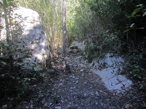 |
Bm536 is situated at
groundlevel in front of a boulder. The streambed of the Muga is ± 5m is away. |
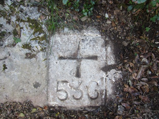 |
Bm536 |
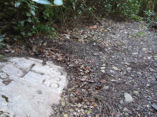 |
Bm536 |
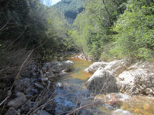 |
I
check if I could walk back - downstream - along the Muga but the water
is too high. Conclusion: access to bm536 along the Muga is (now) not possible. Perhaps it can be done when the river is dry (like when Jan-Willem and I were here on 6 april 2008 |
 |
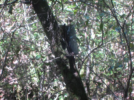
The spot of bm536 is indicated by two white arrows pointing at its location. |
 |
The 'little barrage' of Jacques Koleck (I presume) |
 |
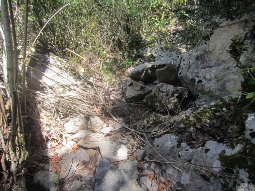
I
climb back in the streambed - with a little rockscramble in between -(this picture) until the path crossing the streambed. From there I revisit bm537 by going up and down the trail along the S-side of the streambed. |
 |
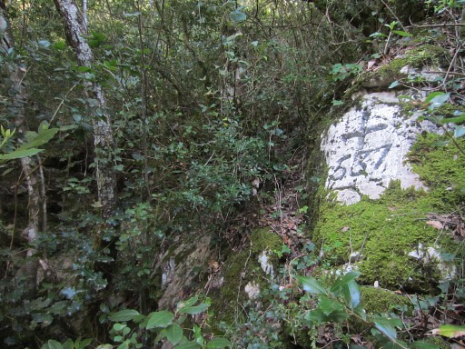
Then
I want to explore the path crossing the streambed to see if that
provides a smoother access when coming from bm538. The path goes S and then - after ± 75m - gets less distinct. I wander a bit further and to my surprise end up at Poste 538! |
 |
I told earlier that ± 20m S, below this Poste538, there's |
 |
a rockstone with 538 painted on it. |
 |
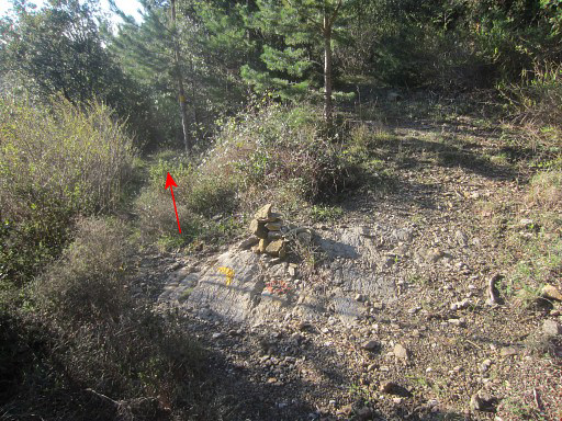
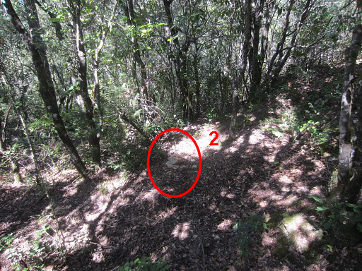
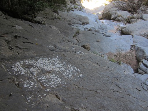
It's time to come to a conclusion about the best route to visit the 536-537-538 bordermarkers when coming from the Muga If you - coming from the Muga - arrive at Poste 538 and stand in front of it, go left (=W). |
 |
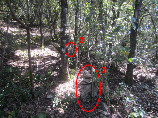
A few cairns I built, will bring you in ± 30m to
the beginning of the distinct trail leading to the streambed. These are the first and second cairns. |
 |
The second cairn |
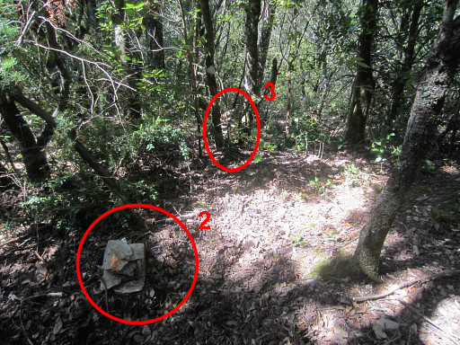 |
The second and third cairn |
 |
Zoom-in of the third cairn. |
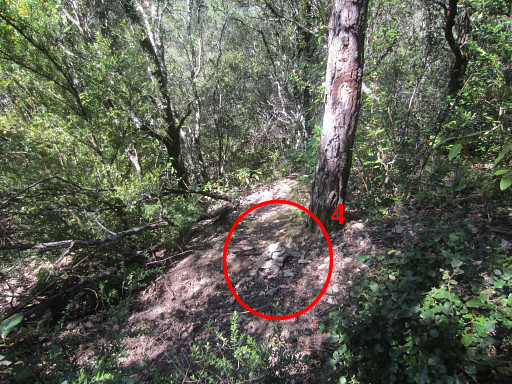 |
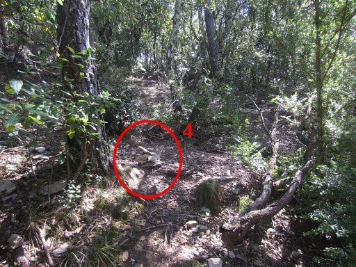
And then the fourth cairn at the beginning of the easy trail that leads you in 75m to the streambed which is the borderline. |
 |
I do a little cleaning up of the trail to help .... you! |
 |
This is where you cross the ravine/streambed There's a risk of crossing the ravine/streambed without noticing it. But at this point, there's a |
 |
'hunting reserved' plate nailed at a tree. From here, you can descend SW along the streambed to bm536 in 5-10 minutes, then return to this point. Then climb hence & forth 25m to bm537. Then return to Poste 538 and proceed uphill to bm538. |
 |
I'm back at the beginning of the trail with cairn 4. |
 |
Then cairn 3 and 2 and you're allmost back at Poste538. From Poste538 it's ± 100m NE uphill to bm538. |
 |
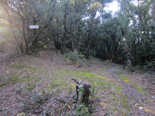
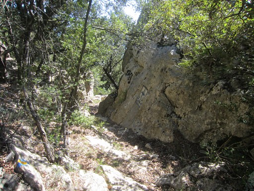
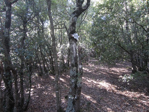
From bm538 onwards I follow the trail which gets white waymarked. It bends to the right, |
 |
passes a hunter's post 538bis |
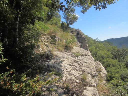 |
and soon climbs the rocky ridge which is the borderline between bm538 and bm541. |
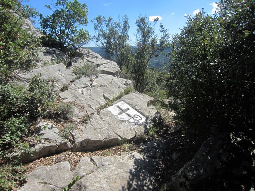 |
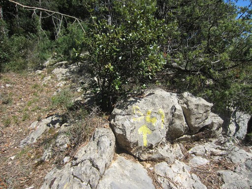
It brings you in 300m (from bm538) to bm539 |
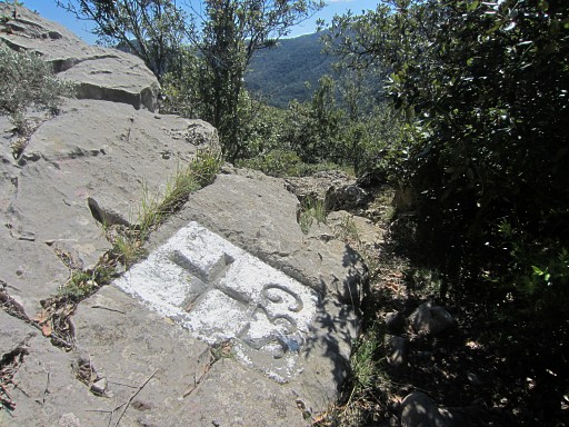 |
Bm539 |
 |
Bm539 |
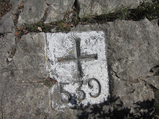 |
Bm539 |
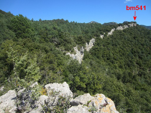 |
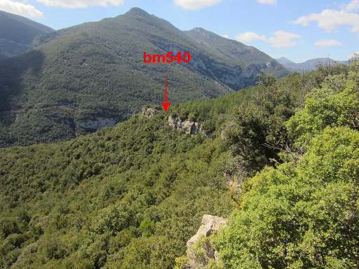
Looking forward along the ridge. Bm540 is close and bm541 is at the end of the ridge. |
 |
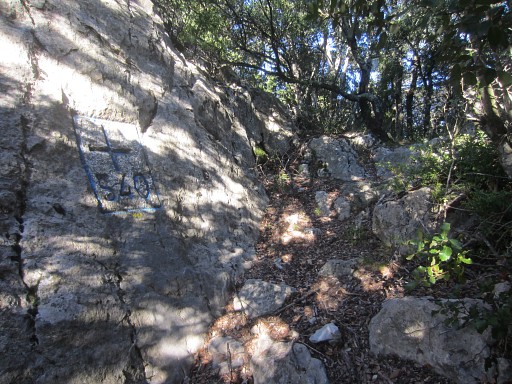
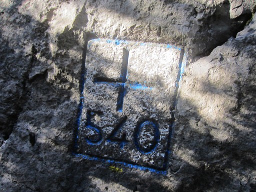
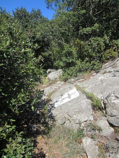
After 125m (from bm539), I'm back at bm540. |
 |
Bm540 |
 |
Then
further along the ridge on a yellow waymarked trail which |
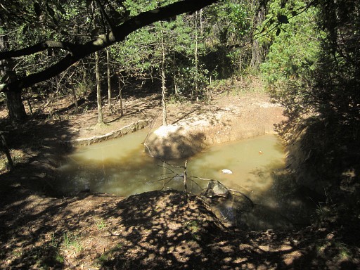 |
brings me along this little pond, exceptional in these dry hills. A bit further I get to a small semi-open space from where the yellow trail brings me eastwards to |
 |
bm541. |
 |
Bm541 |
 |
Bm541 |
 |
I return to the small open space. This is a view back along the ridge. |
 |
Back at the open space which is a hunter's post. |
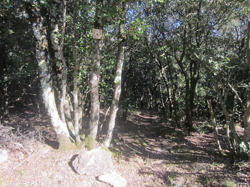
 |
From
this semi-open space (Jan-Willem camped here on 5 april 2008) , the main trail continues N in the direction of Can
d'Amunt. But I want to try a direct descent to the Rio Major and bm542. |
 |
I
enter the forest and soon the beginning of a streambed - descending NNE
- appears. Traversing the forest downhill is easier than I expected, there's not much undergrowth to struggle through. |
 |
The greater part of the descent I do on the right side of the streambed. |
 |
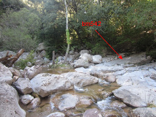
It takes me ± 30min to reach the Rio Major. This picture: you can see the water already. You'll arrive at the edge of a pool. |
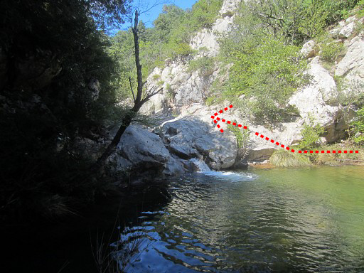 |
But
the final part to bm542 - going ± 50m upstream- is not that easy. This first pool can be easily passed by circling it counter-clockwise and a little scramble. |
 |
But
then, further
progress is blocked by a second waist-deep pool with a small
cascade. The steep sides along the cascade make a passage tricky.
I try a detour on the right side (E) uphill but that takes me too high and is too much wrestling through the bush. Finally I manage to get further via a ledge on the left side (W) but find it too tricky to return the same way. |
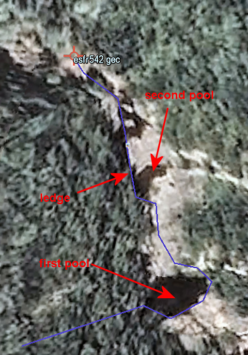 |
Let's put it on a Google Earth-map. |
 |
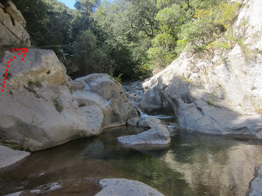
Bm542 is then 20m further on the E-side of the river. |
 |
Bm542 |
 |
Bm542 |
 |
Bm542 |
 |
Bn542, looking downstream |
 |
Bm542, looking downstream Returning the same way and climbing back to the hunter's post is probably the fastest way to "do" bm542 and continue to Can d'Amunt. But - as said - that return was too tricky for me. |
 |
Then
I try if the climb to the rock above bm542 on the W-side could bring me back
to the streambed and up to the hunter's post. How to get there: from bm542 go upstream, after ± 30m go right around the bend of the river and then - a little bit further - enter the bank on the W-side. Traverse the forest for a few meters and you'll get on a trail which climbs SW to an open space upon the rock high above bm542. |
| I was here also on 24 may 2011. But the trail fades away
and the forest gets too thick. The hillside directly towards the
streambed is too steep. So I decide to return to Can d'Amunt via the "route normal", earlier done on 18 march 2009 and 24 may 2011. But that's not as easy as I thought. |
|
 |
I return to the river and work my way upstream (partly through the forest at the W-bank) for ± 300m until this point. From the left a broad (dry) streambed descends and merges with the Rio Major. Very recognizable. A trail will bring you along the N-side of this streambed uphill (first N, then NWW) |
 |
But: finding that path from the Rio Major climbing uphill is not obvious, the lower part
being overgrown. |
 |
But I find it after some searching |
 |
and arrive at the lower end of the long grassy strip which climbs N for ± 200m. This picture: looking back at the valley of the Rio Major. |
 |
This is the grassy strip climbing N. There's a hunter's watchtower and - as you can see - the grass gets overgrown by bush. |
 |
I'm at the top of the grassy strip and look back. |
 |
At
its end, I continue on a orange waymarked trail which climbs in a curve
to higher point. |
 |
I pass along hunter's post P8 and arrive |
 |
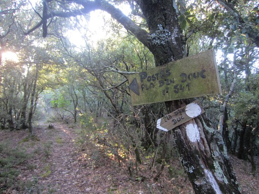
at a sign
pointing to P10-9. I follow that direction. That's when things start to go wrong. |
 |
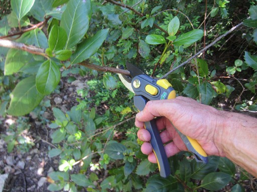
I arrive at an overgrown dirtroad underneath Can
d'Amunt, just 200m from my car. I was here before at 24 may 2011 and couldn't get through the blackberry. But now I have a pruning shears with me. I hope for a shortcut to my car. I fight my way through the blackberry but have to give up, my trousers torn apart. Two other trials also fail. So I return to the sign P10-9. From there I can find a trail bringing me to |
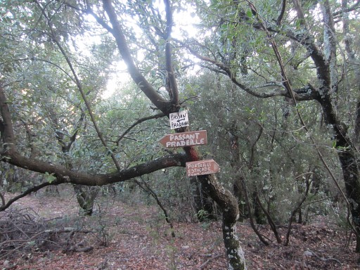 |
an open spot with various signs. These ones. |
 |
and this small one pointing to Can d'Amunt. But beyond these signs I loose the trail, gradually descend and end up |
 |
at
the Rio Major at this hunter's post P11. Now I'm getting afraid that I can't find my way back to the dirtroad leading to Can d'Amunt and have to spend the night in the forest. But then I remember my new smartphone with its topographical gps-maps (http://osmand.net/). It shows me that I'm just 200m away from the dirtroad uphill to the W. |
 |
I wrestle myself uphill in that direction and that brings me indeed at the dirtroad and I feel releaved. |
 |
I climb along the dirtroad to Can d'Amunt, passing at a bend this entry of the forest. That's where we entered the forest on 18 march 2009 and 24 may 2011. |
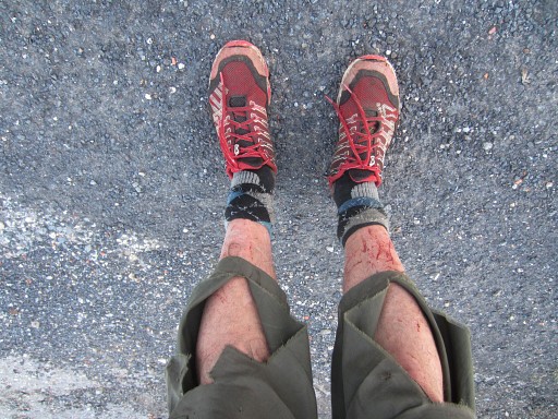 |
At 20.15, nearly 12 hours after my departure, back at Can d'Amunt. I'm exhausted. |